Elevation of Whiteville, TN, USA
Location: United States > Tennessee >
Longitude: -89.149510
Latitude: 35.3264714
Elevation: 149m / 489feet
Barometric Pressure: 100KPa
Elevation Map:
Satellite Map:
Related Photos:
View from the Cemetery
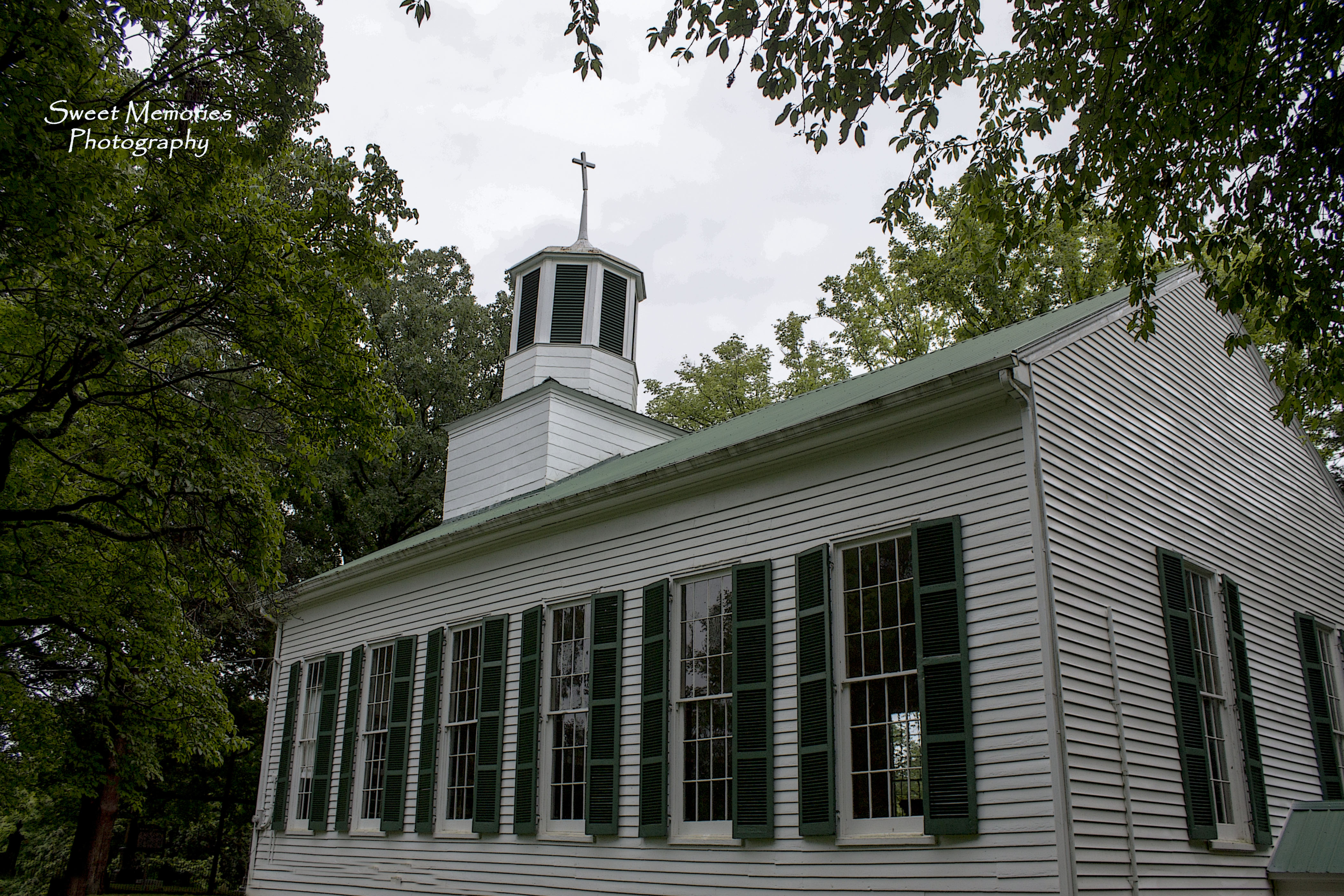
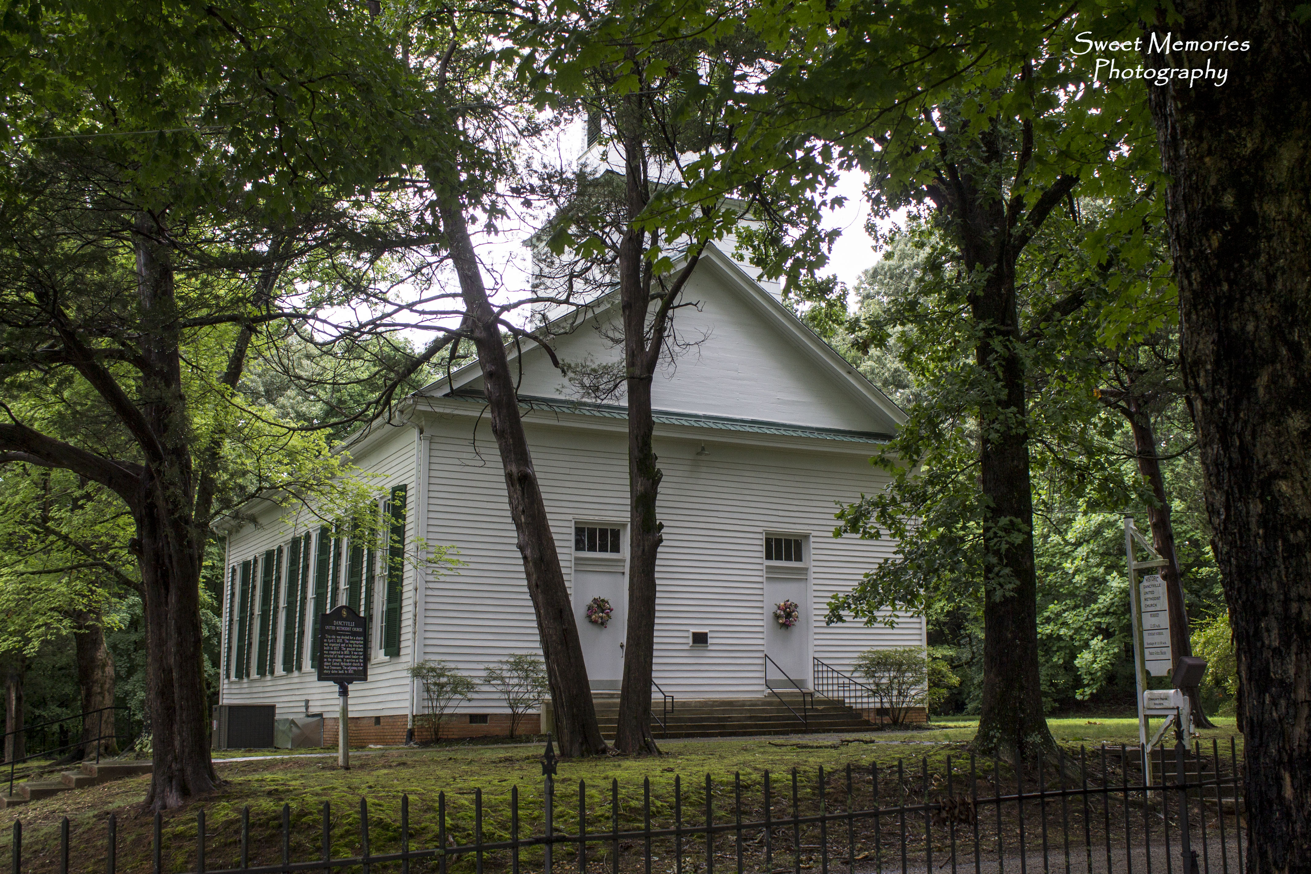
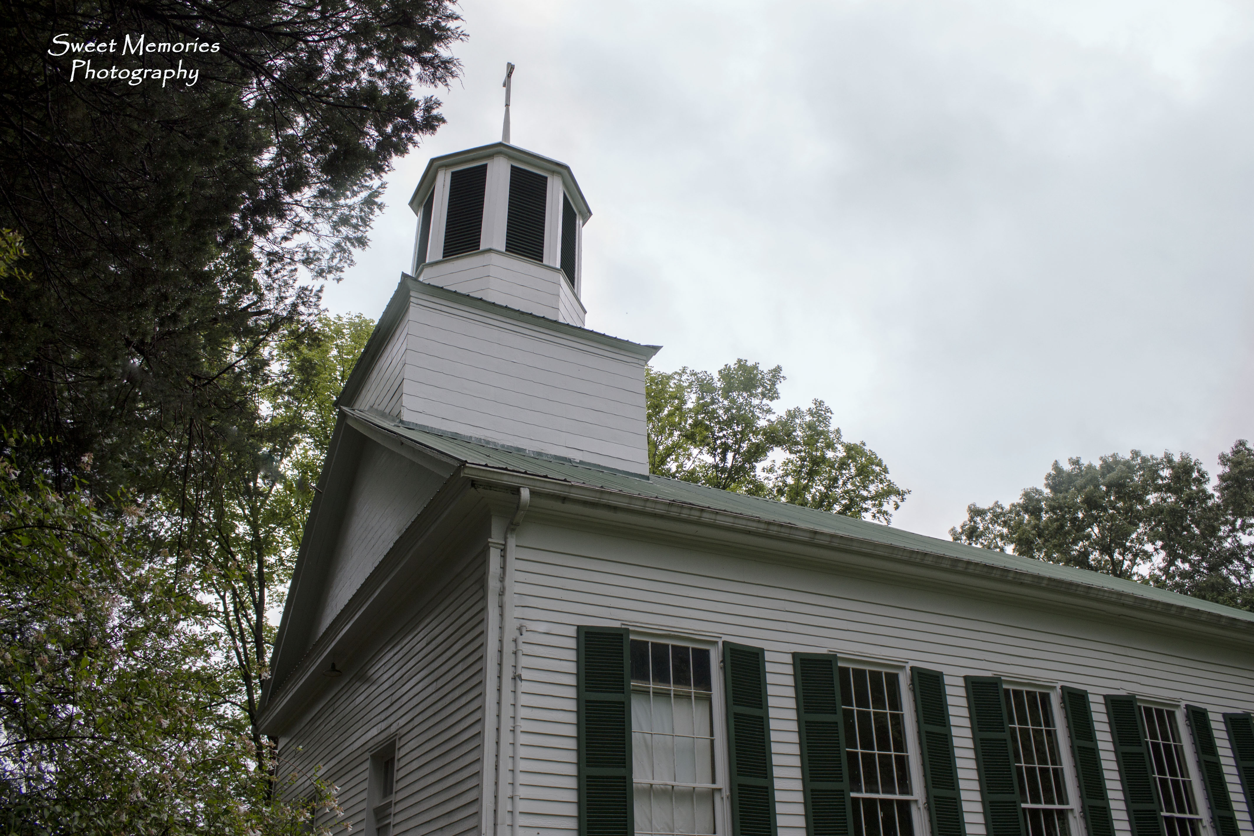
Old Dancyville Church

Dancyville Cemetery

Beautiful Bells

Rescue Me

Overgrown Beauty
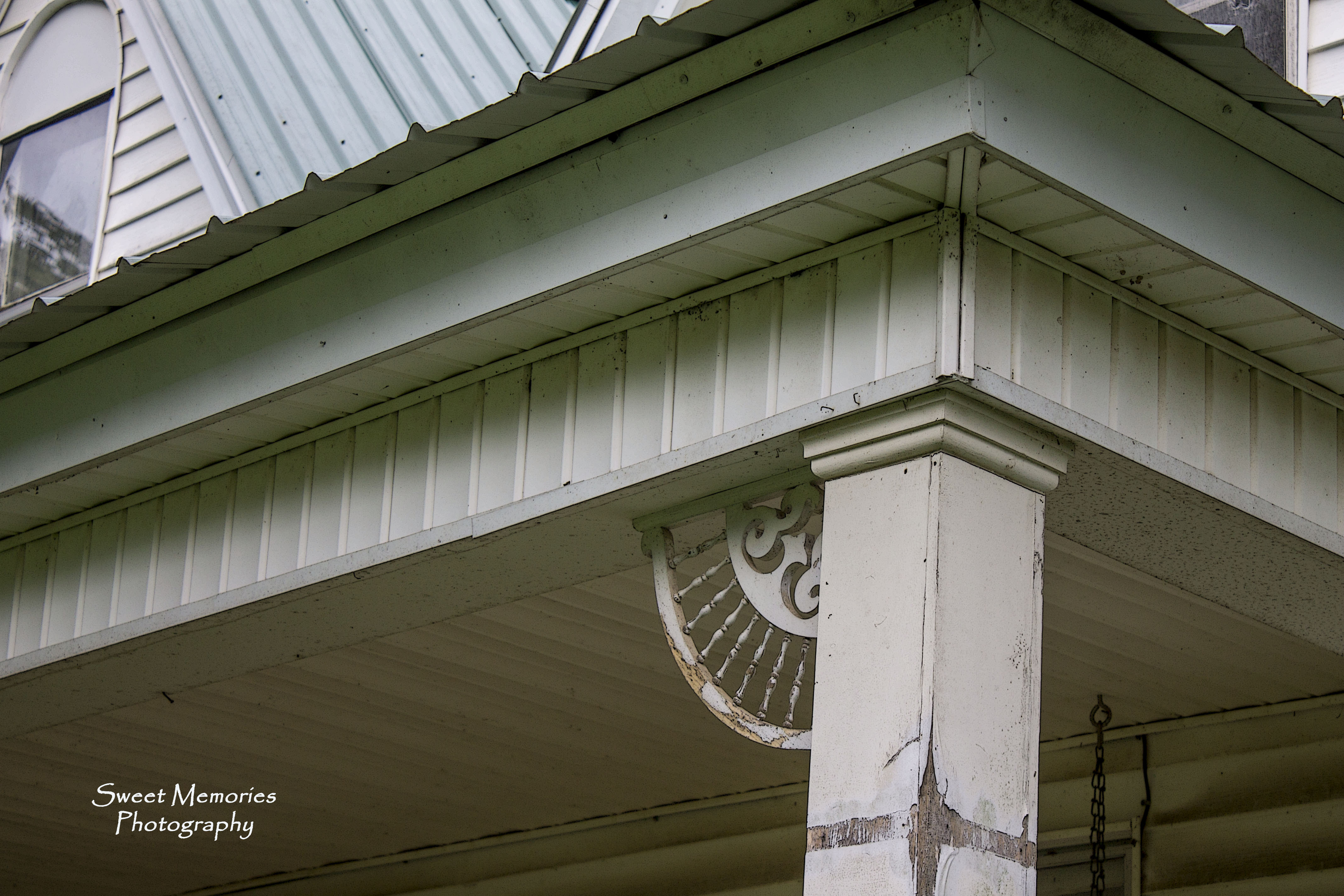
Gingerbread Dreams

Dancyville Church Historical Marker

Cemetery Gate

Peaceful Oak

Towering Magnolia
Stormy Skies
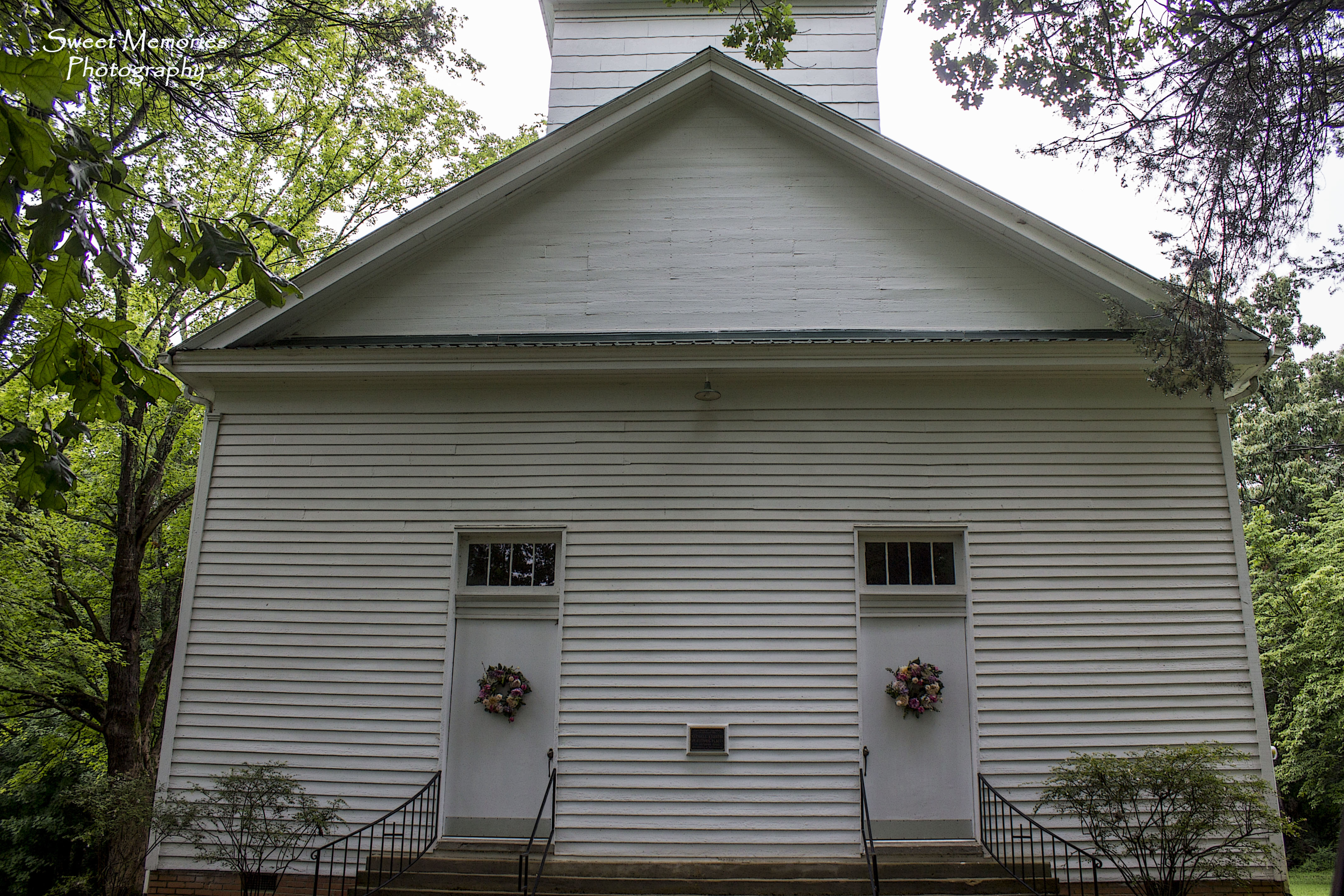
Separate Doors

Red, White & Blue
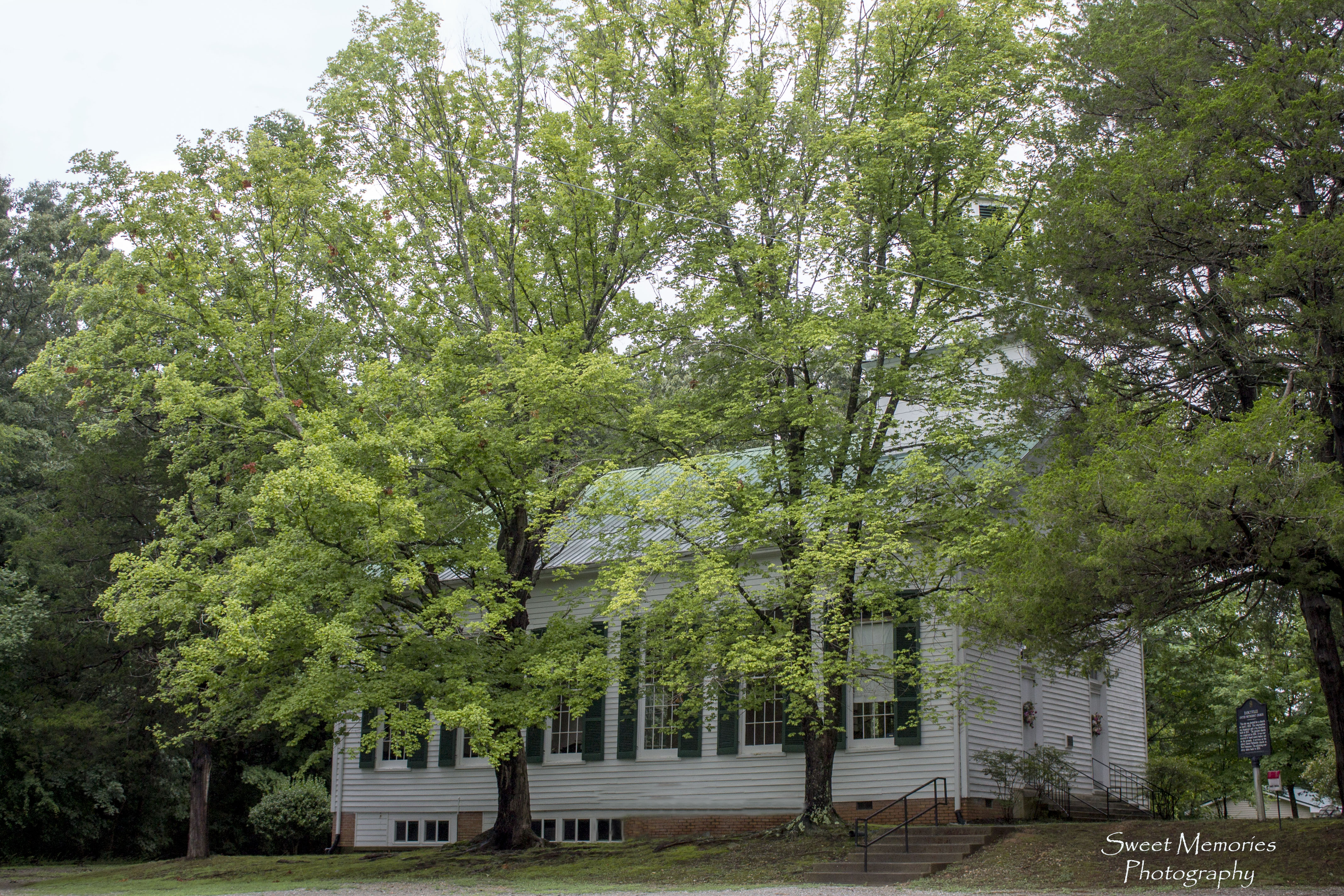
Dancyville Methodist Church

Western State Hospital- Bolivar TN

Western Mental Health Institute - Bolivar, TN

Reliable Furniture Barn

Royal Cafe neon sign - Whiteville, TN

Hatchie Bottom Bridge

Emma, Thanksgiving
Topographic Map of Whiteville, TN, USA
Find elevation by address:

Places in Whiteville, TN, USA:
Places near Whiteville, TN, USA:
E Main St, Whiteville, TN, USA
124 W Main St
Ina Rd, Somerville, TN, USA
680 Russell Rd
TN-18, Bolivar, TN, USA
130 Enon Way
Bolivar
300 E Market St
Toone
Stanton Koko Rd, Stanton, TN, USA
Somerville
TN-15, Somerville, TN, USA
3602 Lagrange Rd
15805 Us-64
Williston
19920 Tn-193
Stanton
Haywood County
Brownsville
Fredonia Rd, Stanton, TN, USA
Recent Searches:
- Elevation of Corso Fratelli Cairoli, 35, Macerata MC, Italy
- Elevation of Tallevast Rd, Sarasota, FL, USA
- Elevation of 4th St E, Sonoma, CA, USA
- Elevation of Black Hollow Rd, Pennsdale, PA, USA
- Elevation of Oakland Ave, Williamsport, PA, USA
- Elevation of Pedrógão Grande, Portugal
- Elevation of Klee Dr, Martinsburg, WV, USA
- Elevation of Via Roma, Pieranica CR, Italy
- Elevation of Tavkvetili Mountain, Georgia
- Elevation of Hartfords Bluff Cir, Mt Pleasant, SC, USA