Elevation of W Main St, Whiteville, TN, USA
Location: United States > Tennessee > Whiteville >
Longitude: -89.152953
Latitude: 35.325912
Elevation: 147m / 482feet
Barometric Pressure: 100KPa
Elevation Map:
Satellite Map:
Related Photos:
View from the Cemetery
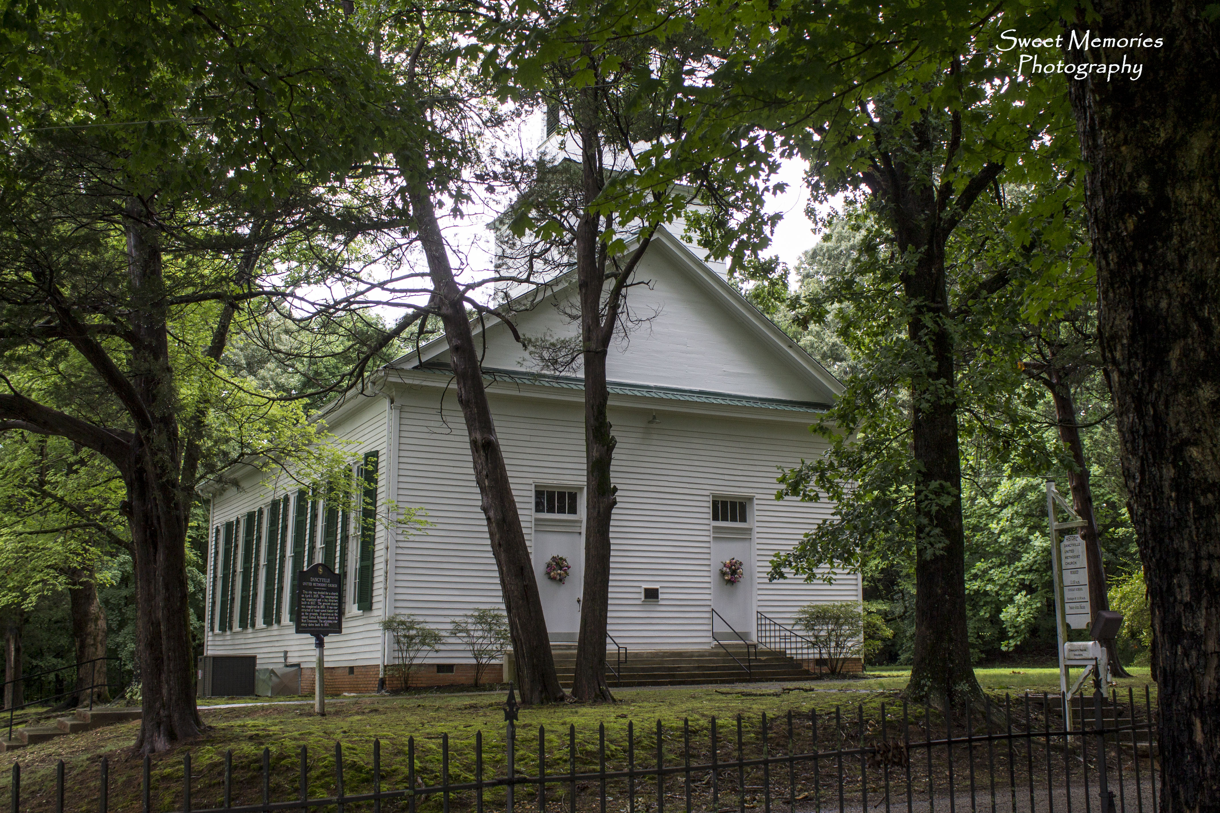
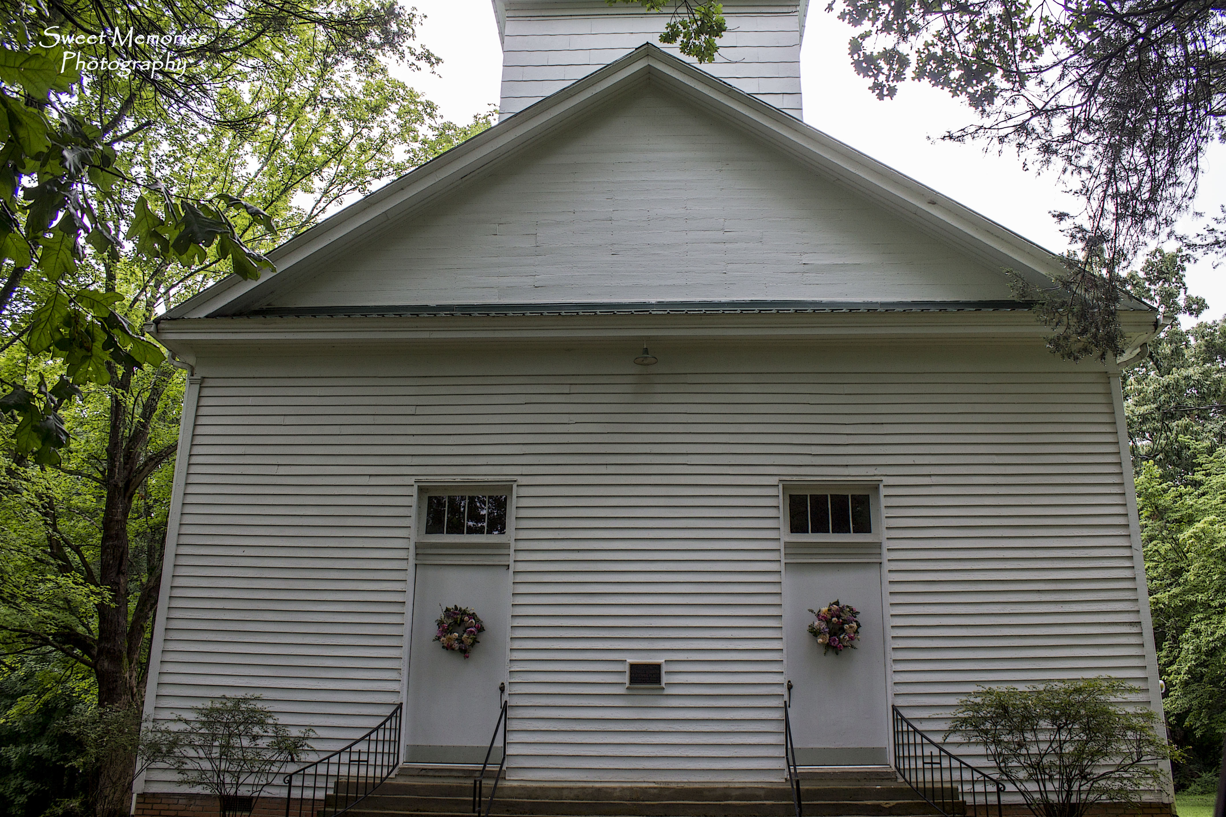
Old Dancyville Church

Dancyville Cemetery

Western Mental Health Institute - Bolivar, TN

Reliable Furniture Barn

Royal Cafe neon sign - Whiteville, TN

Burned Out

Abandoned Farmstead

Beautiful Bells

Rescue Me

Overgrown Beauty
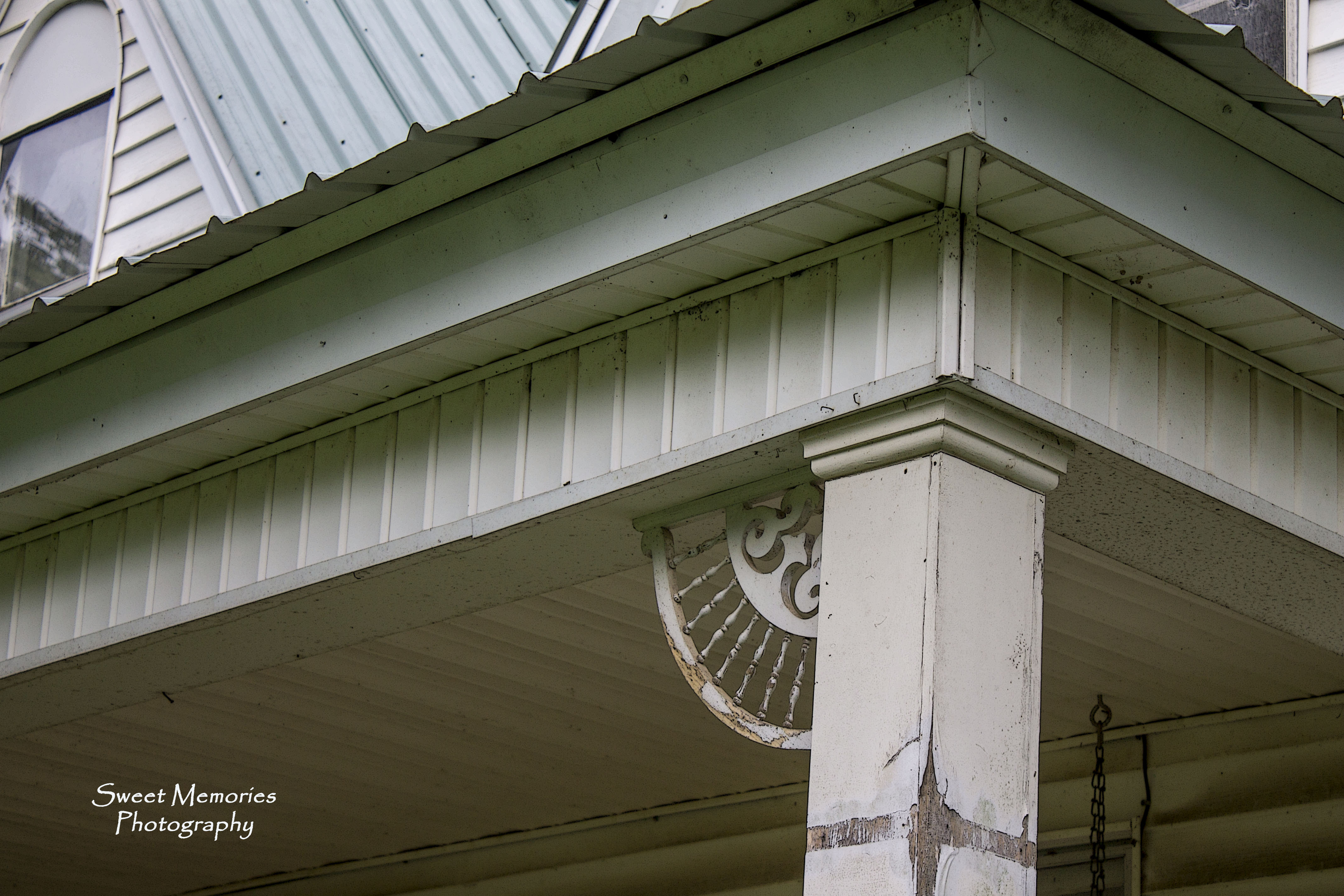
Gingerbread Dreams

Dancyville Church Historical Marker

Cemetery Gate

Peaceful Oak

Towering Magnolia
Stormy Skies
Separate Doors

Red, White & Blue
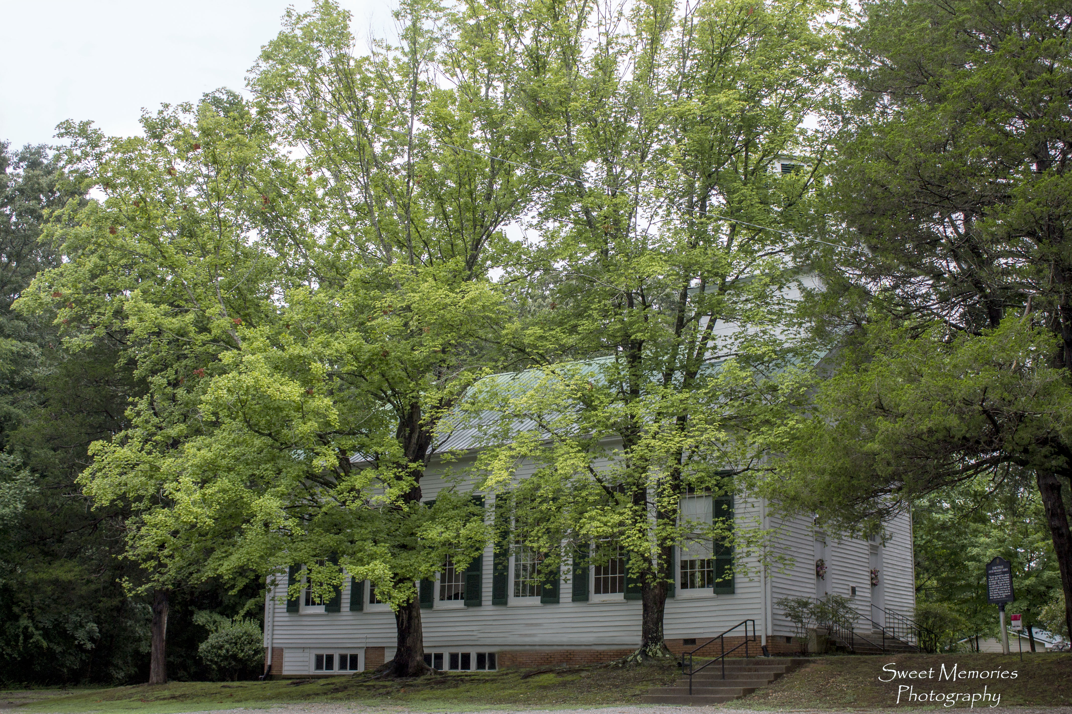
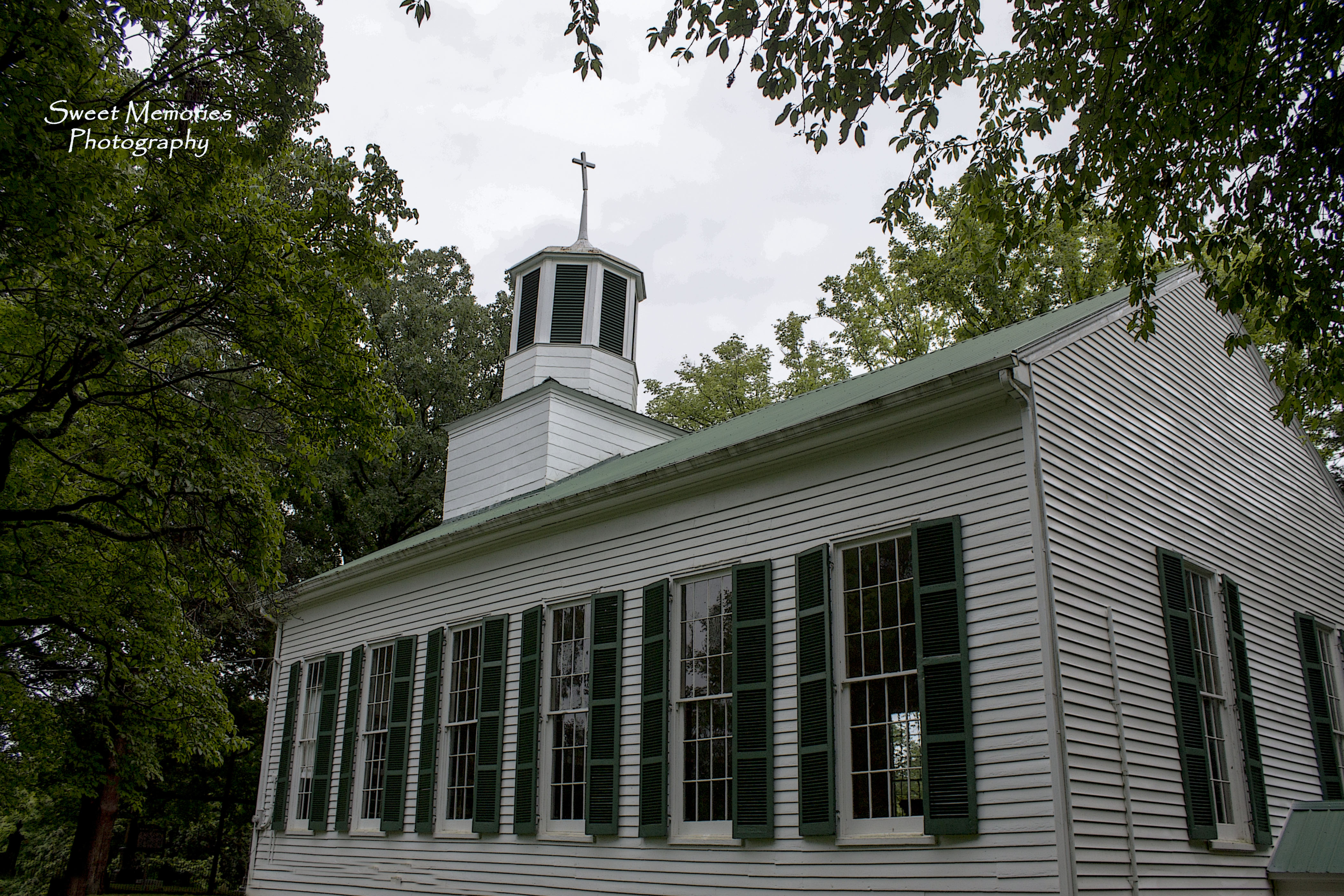
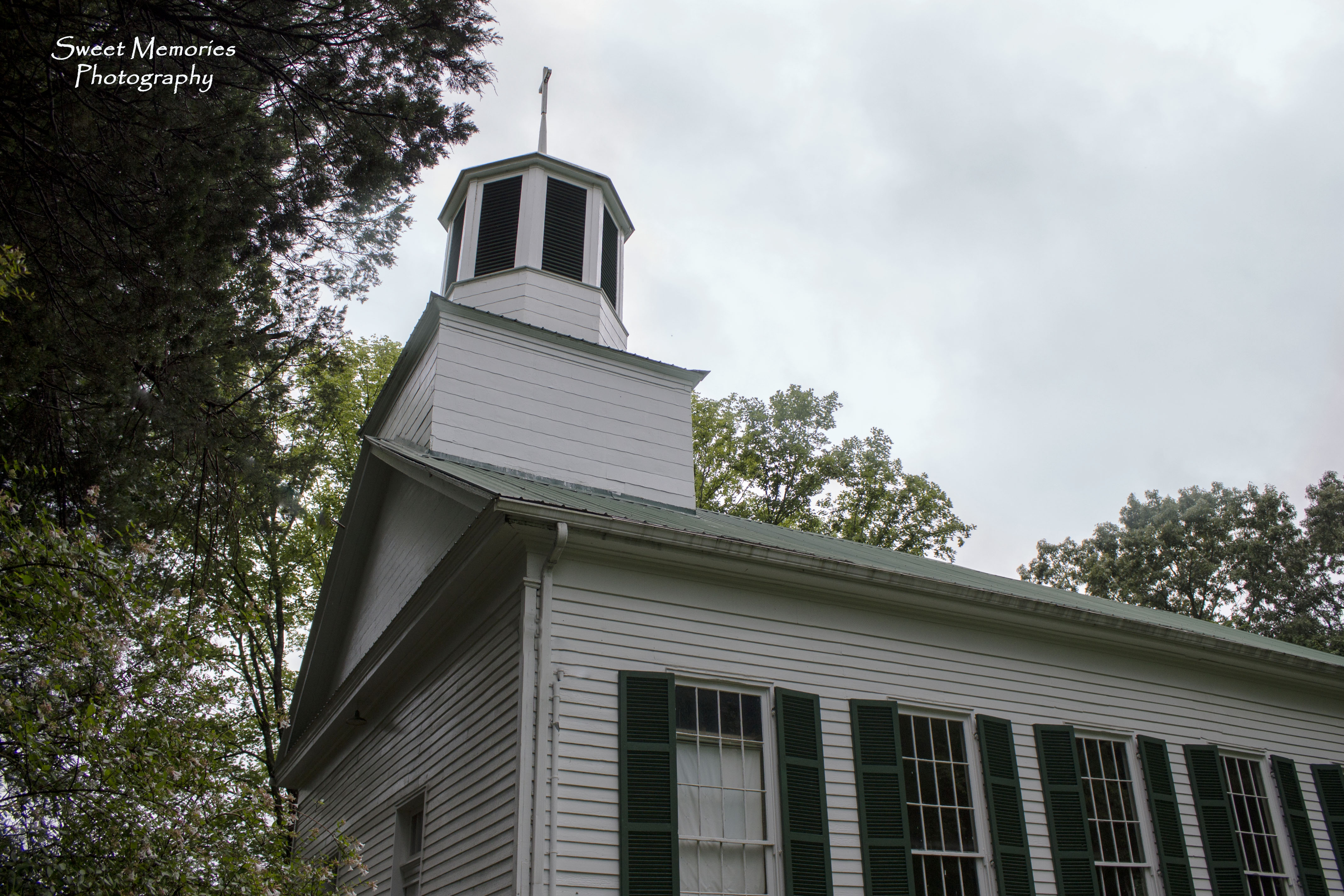
Dancyville Methodist Church

Western State Hospital- Bolivar TN
Topographic Map of W Main St, Whiteville, TN, USA
Find elevation by address:

Places near W Main St, Whiteville, TN, USA:
E Main St, Whiteville, TN, USA
Whiteville
Ina Rd, Somerville, TN, USA
680 Russell Rd
TN-18, Bolivar, TN, USA
130 Enon Way
Bolivar
300 E Market St
Stanton Koko Rd, Stanton, TN, USA
Toone
Somerville
TN-15, Somerville, TN, USA
3602 Lagrange Rd
15805 Us-64
Williston
19920 Tn-193
Stanton
Haywood County
Brownsville
Fredonia Rd, Stanton, TN, USA
Recent Searches:
- Elevation of Gateway Blvd SE, Canton, OH, USA
- Elevation of East W.T. Harris Boulevard, E W.T. Harris Blvd, Charlotte, NC, USA
- Elevation of West Sugar Creek, Charlotte, NC, USA
- Elevation of Wayland, NY, USA
- Elevation of Steadfast Ct, Daphne, AL, USA
- Elevation of Lagasgasan, X+CQH, Tiaong, Quezon, Philippines
- Elevation of Rojo Ct, Atascadero, CA, USA
- Elevation of Flagstaff Drive, Flagstaff Dr, North Carolina, USA
- Elevation of Avery Ln, Lakeland, FL, USA
- Elevation of Woolwine, VA, USA