Elevation of Whispering Pines, Red Feather Lakes, CO, USA
Location: United States > Colorado > Larimer County > Red Feather Lakes >
Longitude: -105.52040
Latitude: 40.7780863
Elevation: 2453m / 8048feet
Barometric Pressure: 75KPa
Elevation Map:
Satellite Map:
Related Photos:

Aspen Leaf

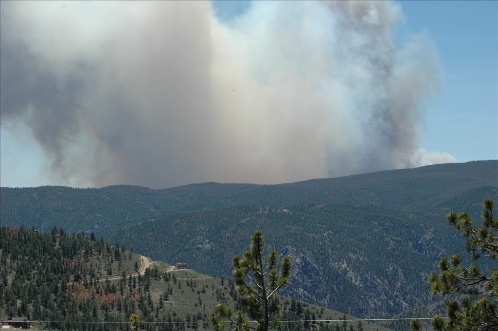
High Park Wildfire

Aspen in the sun
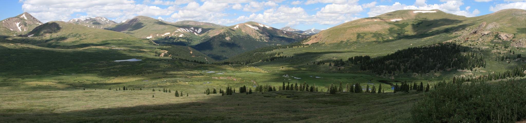
View from Mt Bierstadt

I love this view
See More, Go To Flickr & Search "DrShawnboy" - People
Gorgeous, unobstructed views
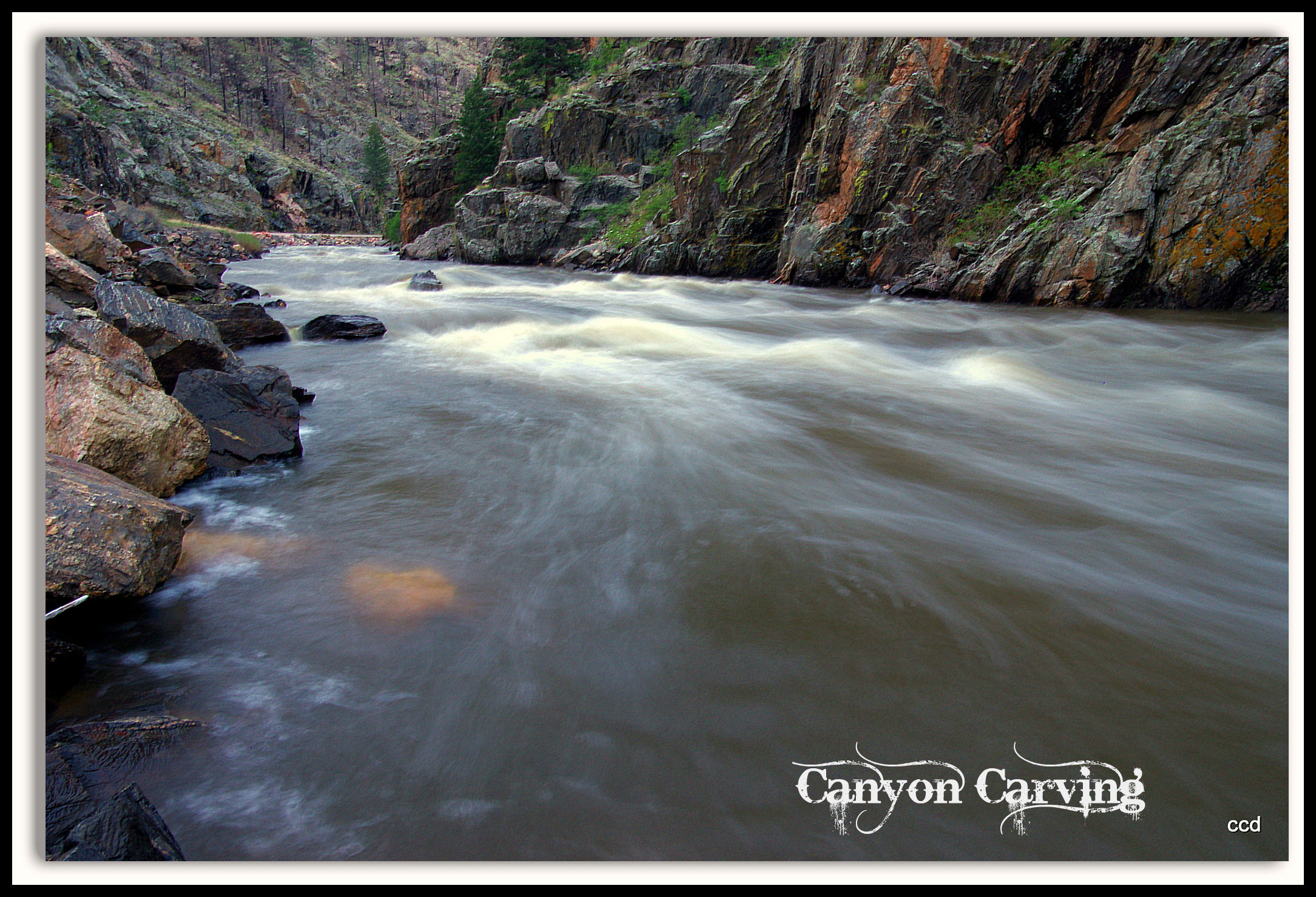
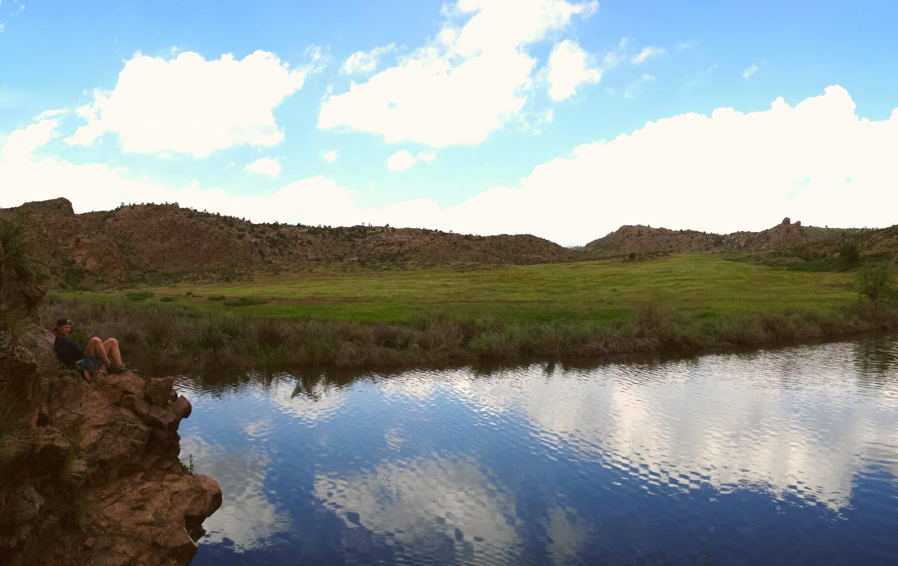
Poudre Lower Narrows
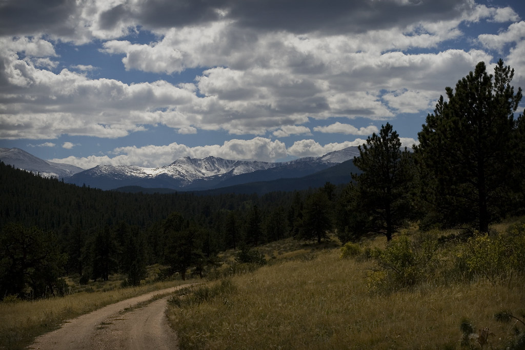
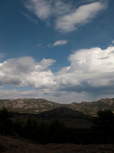
Mountains and Clouds
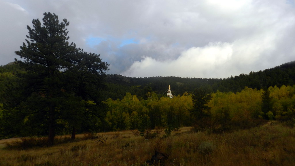
The Great Stupa of Dharmakaya, Which Liberates Upon Seeing -- Red Feather Lake, CO
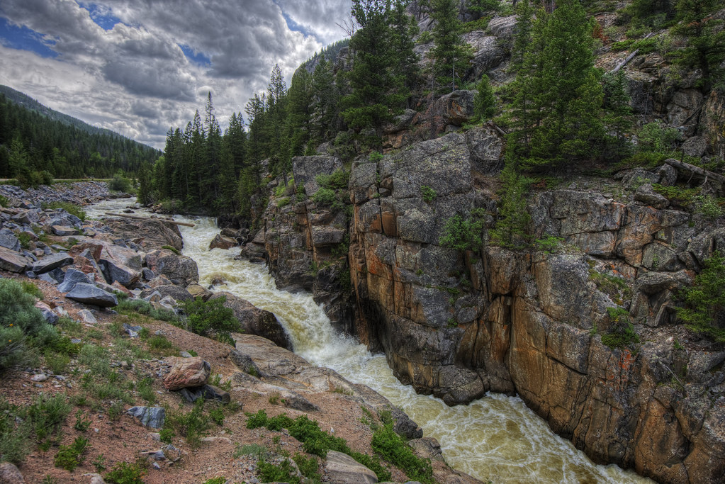
Poudre River
A Poudre Canyon Passage

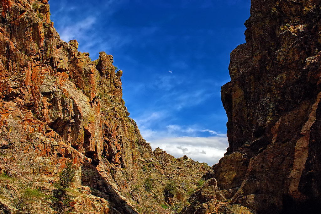
Crazy tunnel
All up
Aspen magic
Off-roading 6-23-14

Colorado Rocky Mountains

Colorado 2006 182

Photo By Jeff Julian
Off-roading 6-23-14
Off-roading 6-23-14

Off-roading 6-23-14

20110924-_DSC9160

Colorado 2006 016
Mountaintop 6
Weathers changing
Time to leave
Topographic Map of Whispering Pines, Red Feather Lakes, CO, USA
Find elevation by address:

Places near Whispering Pines, Red Feather Lakes, CO, USA:
18100 W County Rd 74e
Shambhala Mountain Center
180 Deep Cut Rd
Pingree Hill
26976 Co-14
68 Co Rd 63E, Bellvue, CO, USA
31370 Poudre Canyon Rd
Rustic
Kelly Flats Campground
Mountain Park (recgovnpsdata)
Larimer County
32759 Poudre Canyon Rd
185 Meadow Ln
33021 Poudre Canyon Rd
Poudre Canyon Chapel
33707 Poudre Canyon Rd
Quigley Mountain
35 Black Hollow Rd
Poudre Canyon Rd, Bellvue, CO, USA
Pingree Park Road
Recent Searches:
- Elevation of Tenjo, Cundinamarca, Colombia
- Elevation of Côte-des-Neiges, Montreal, QC H4A 3J6, Canada
- Elevation of Bobcat Dr, Helena, MT, USA
- Elevation of Zu den Ihlowbergen, Althüttendorf, Germany
- Elevation of Badaber, Peshawar, Khyber Pakhtunkhwa, Pakistan
- Elevation of SE Heron Loop, Lincoln City, OR, USA
- Elevation of Slanický ostrov, 01 Námestovo, Slovakia
- Elevation of Spaceport America, Co Rd A, Truth or Consequences, NM, USA
- Elevation of Warwick, RI, USA
- Elevation of Fern Rd, Whitmore, CA, USA