Elevation of Pingree Hill, Colorado, USA
Location: United States > Colorado > Bellvue >
Longitude: -105.57138
Latitude: 40.7210919
Elevation: 2608m / 8556feet
Barometric Pressure: 74KPa
Elevation Map:
Satellite Map:
Related Photos:
See More, Go To Flickr & Search "DrShawnboy" - People
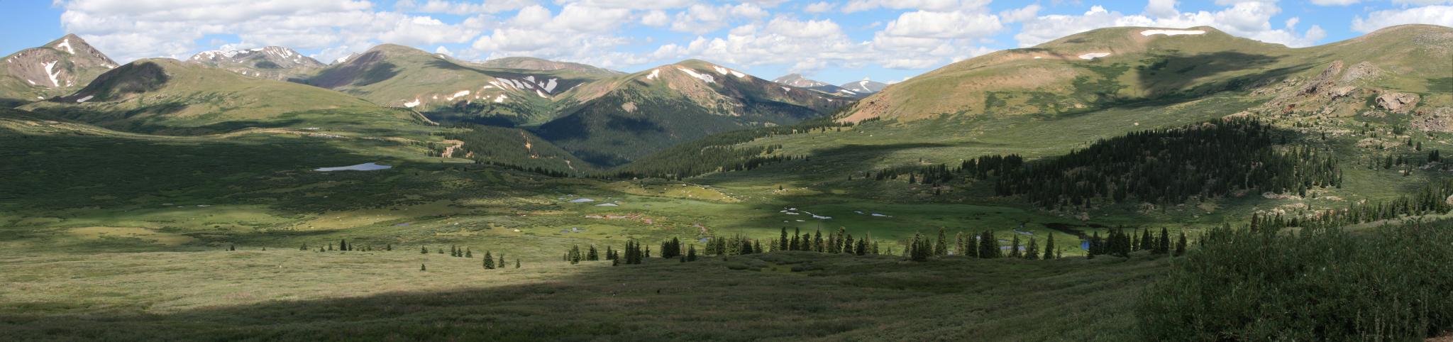
View from Mt Bierstadt

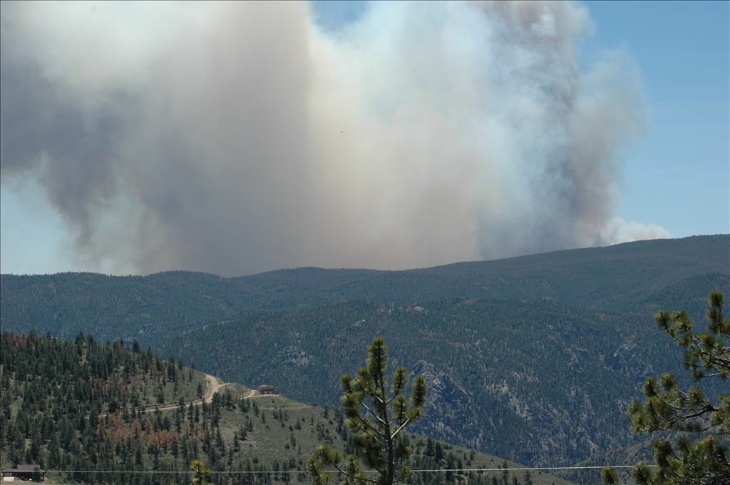
Poudre Canyon

Poudre Canyon

Poudre Canyon
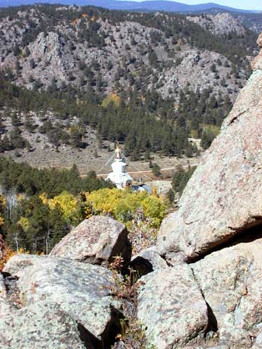
Above the Great Stupa
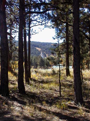
The Valley of the Great Stupa

View from Great Stupa
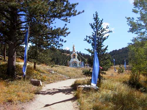
My First View of the Great Stupa
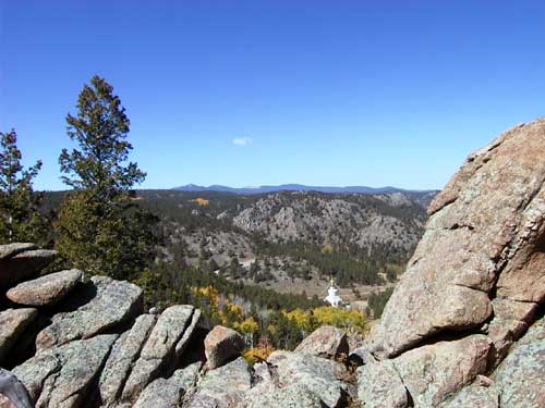
A Different Path
Topographic Map of Pingree Hill, Colorado, USA
Find elevation by address:

Places near Pingree Hill, Colorado, USA:
31370 Poudre Canyon Rd
Rustic
Shambhala Mountain Center
Larimer County
32759 Poudre Canyon Rd
185 Meadow Ln
33021 Poudre Canyon Rd
Poudre Canyon Chapel
33707 Poudre Canyon Rd
26976 Co-14
224 Whispering Pines
35 Black Hollow Rd
Poudre Canyon Rd, Bellvue, CO, USA
18100 W County Rd 74e
68 Co Rd 63E, Bellvue, CO, USA
Kelly Flats Campground
Quigley Mountain
180 Deep Cut Rd
Mountain Park (recgovnpsdata)
Pingree Park Road
Recent Searches:
- Elevation of Corso Fratelli Cairoli, 35, Macerata MC, Italy
- Elevation of Tallevast Rd, Sarasota, FL, USA
- Elevation of 4th St E, Sonoma, CA, USA
- Elevation of Black Hollow Rd, Pennsdale, PA, USA
- Elevation of Oakland Ave, Williamsport, PA, USA
- Elevation of Pedrógão Grande, Portugal
- Elevation of Klee Dr, Martinsburg, WV, USA
- Elevation of Via Roma, Pieranica CR, Italy
- Elevation of Tavkvetili Mountain, Georgia
- Elevation of Hartfords Bluff Cir, Mt Pleasant, SC, USA