Elevation of Weymouth Rd, Hammonton, NJ, USA
Location: United States > New Jersey > Atlantic County > Hammonton >
Longitude: -74.792995
Latitude: 39.544085
Elevation: 17m / 56feet
Barometric Pressure: 101KPa
Elevation Map:
Satellite Map:
Related Photos:

[90/365] ...Look outside at the raincoats coming

From Here To Eternity

Golden Sunset
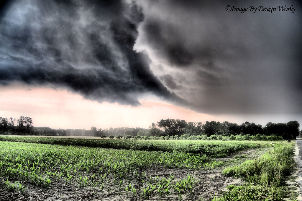
The Storm

Shining Through

Mr. Cardinal

Schoolhouse on a Tilt

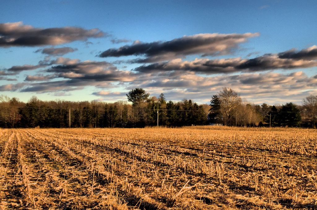
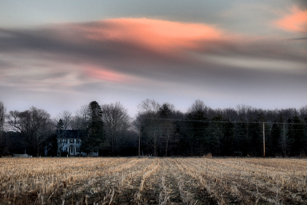
Farm Field Sunset
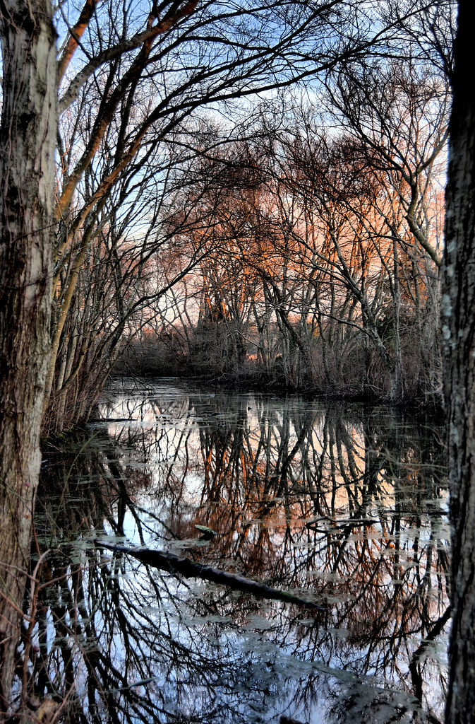
The Pond's Reflection...
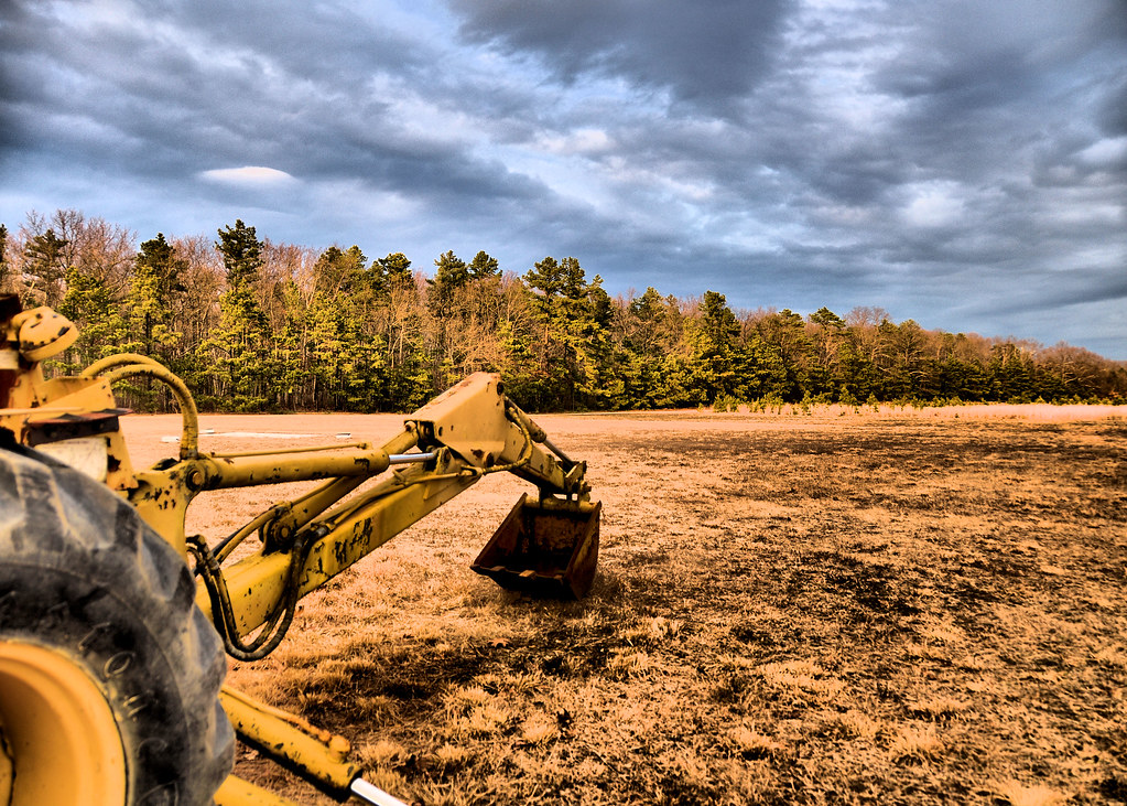
Backhoe Bucket

Mrs. Cardinal
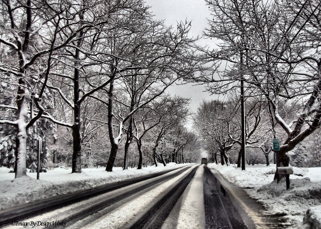
Canopy of Snow Covered Trees
Out of Season

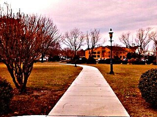
Street view, Midnight
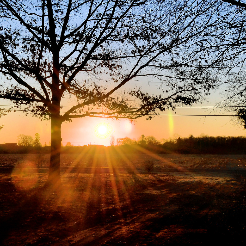
Morning Rays

Several Seans

Bucket tilt
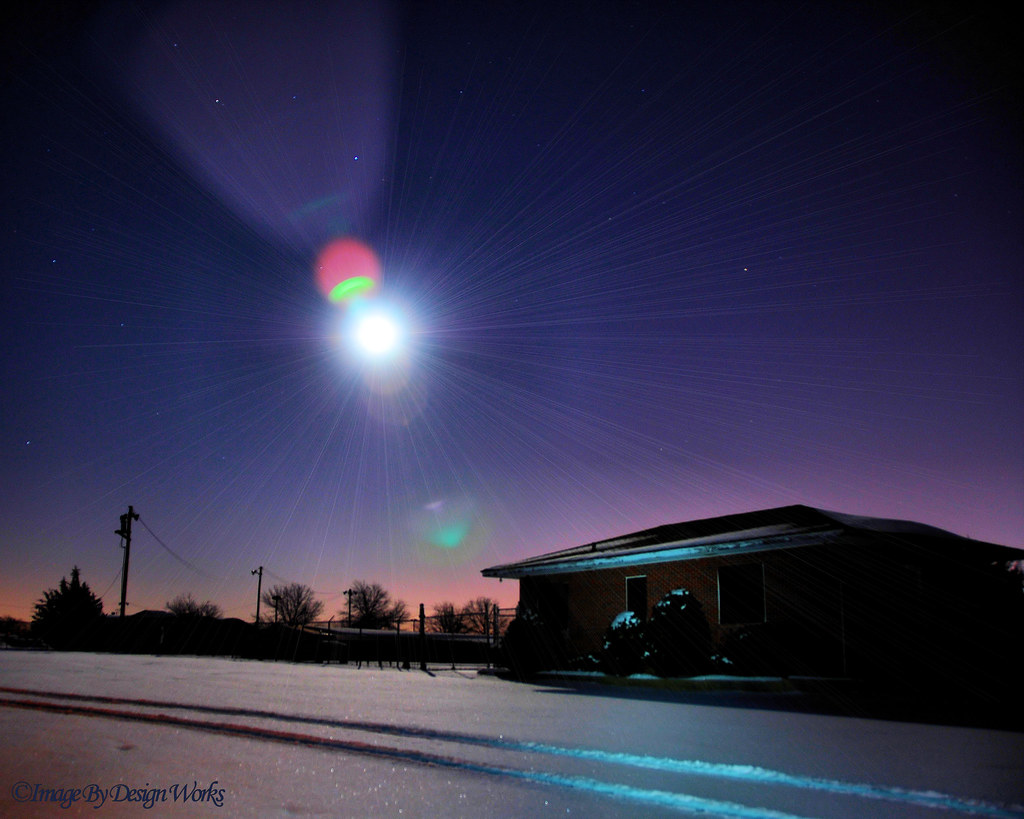
Light of the Moon

Crooked Old Schoolhouse
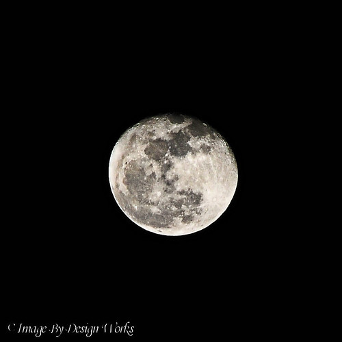
Man on the Moon
A rear view of the Mays Landing Branch of the ACLS, from River Road...

dawning of the day

Sunset After a Snow Fall

Spring Flow
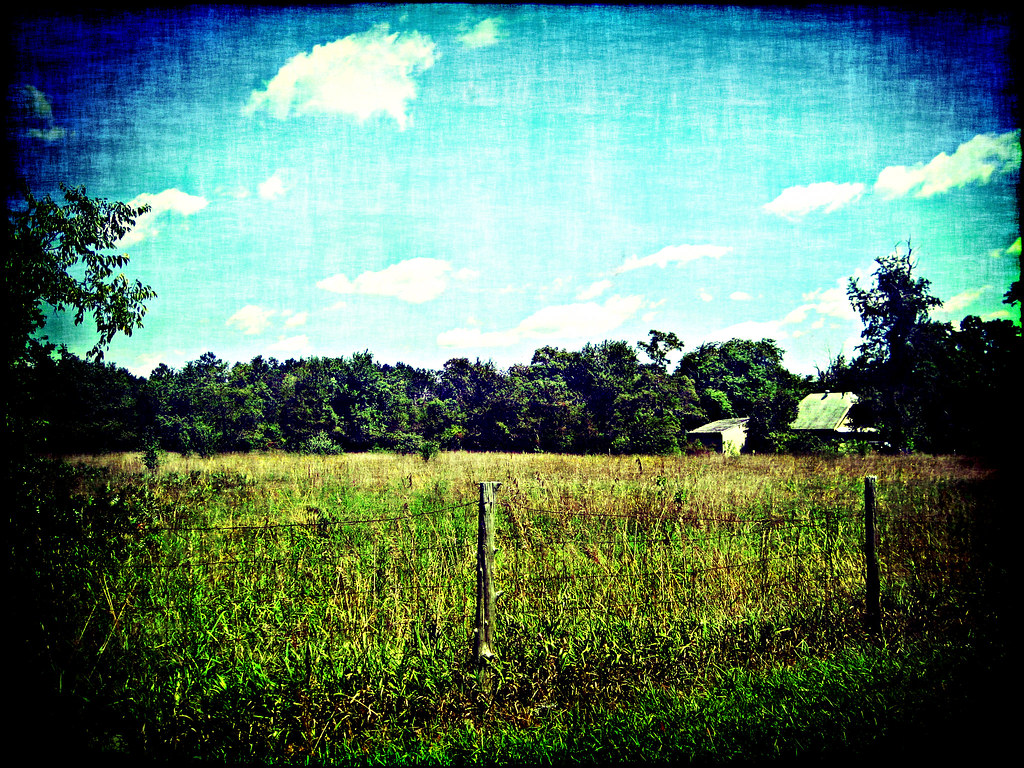
Jersey Farm
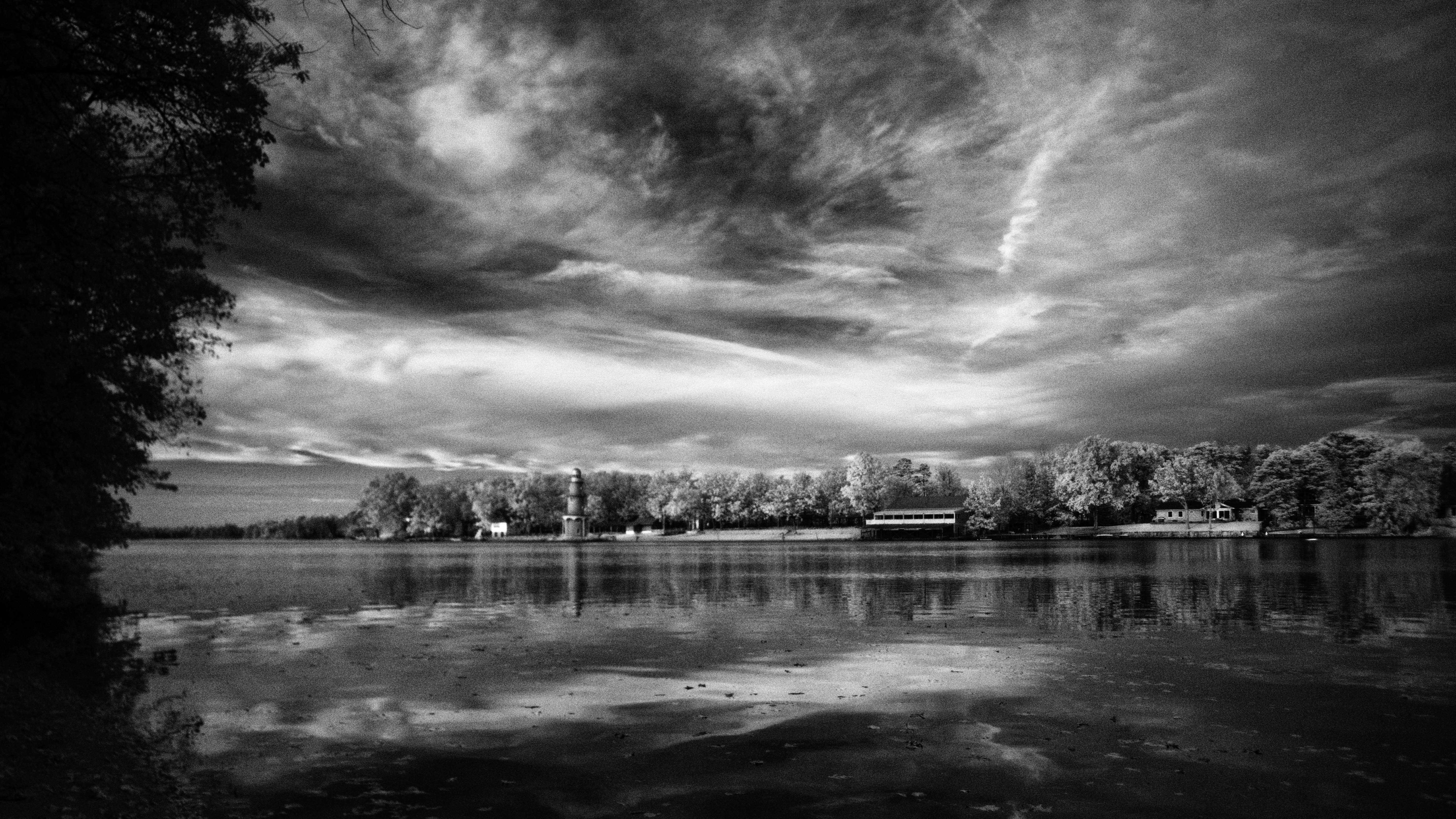
Lake Lenape

Lake Lenape Sunset

Cold October Sky
A Winter's Day...

Life In The Dead Zone

White Oaks Country Club Golf Course, New Jersey

river 034
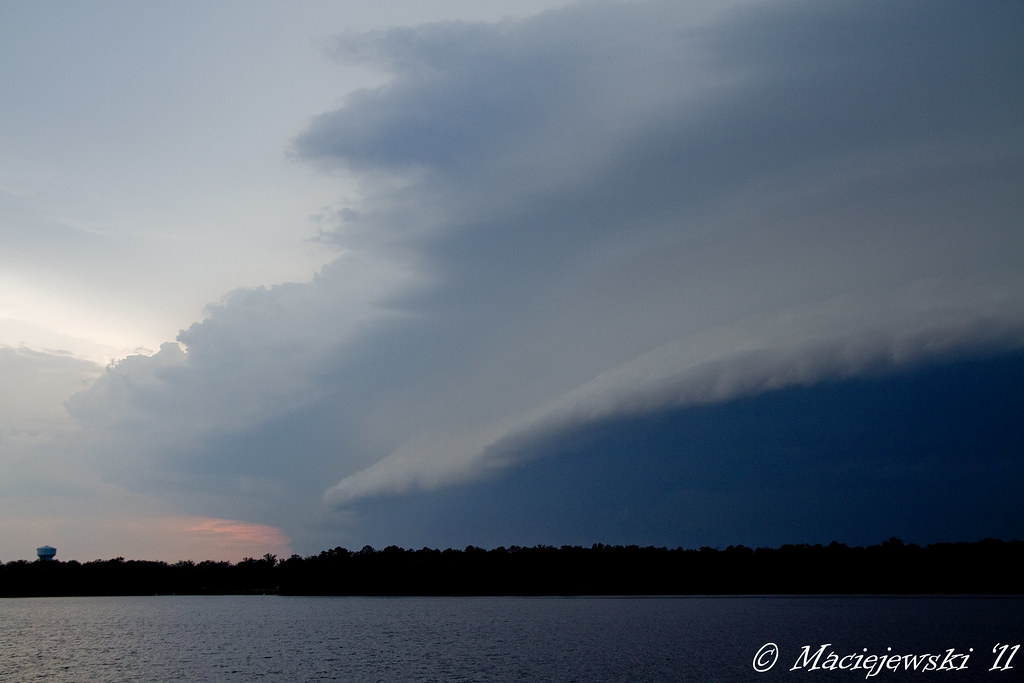
Shelf Cloud
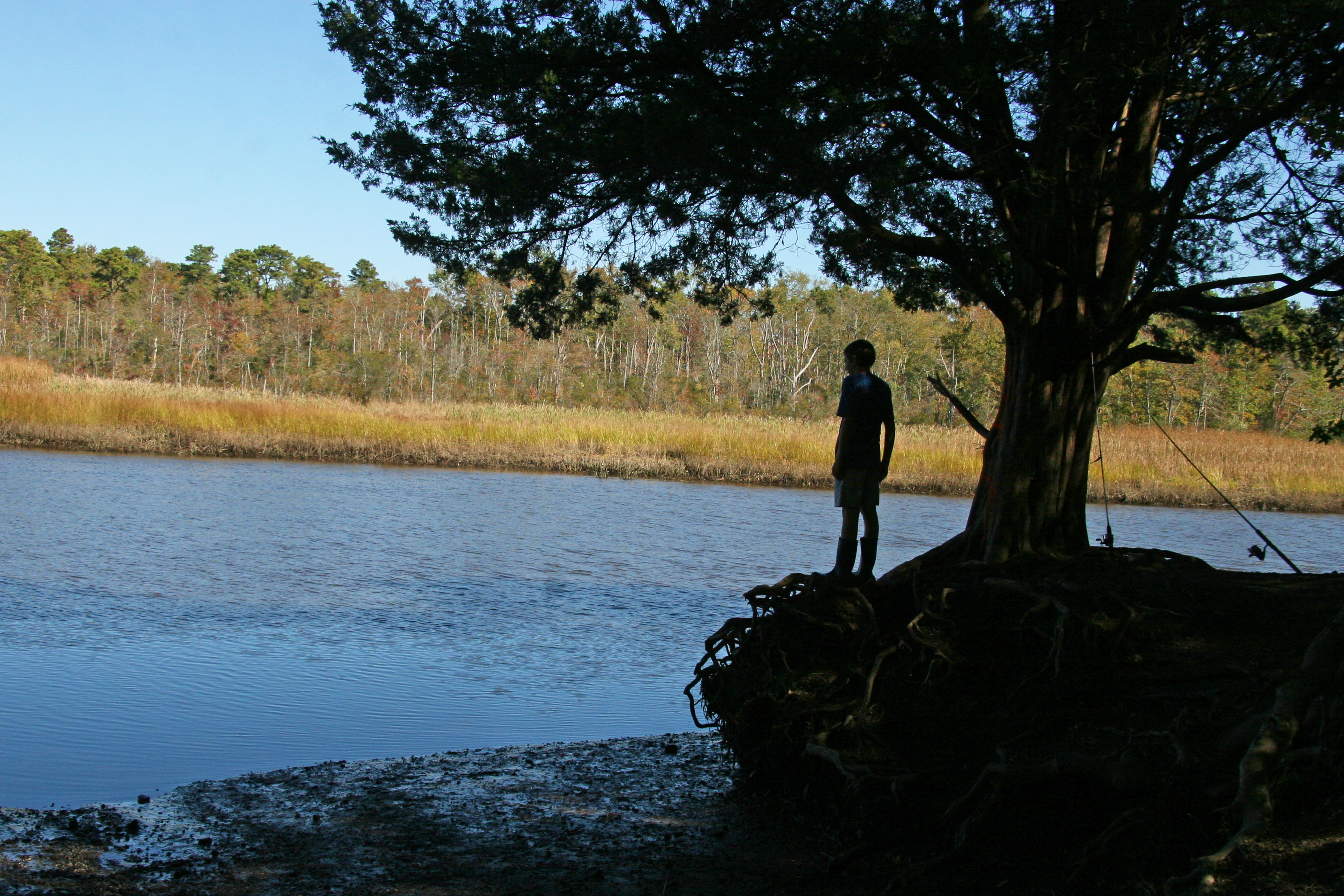
boy fisherman silhouette
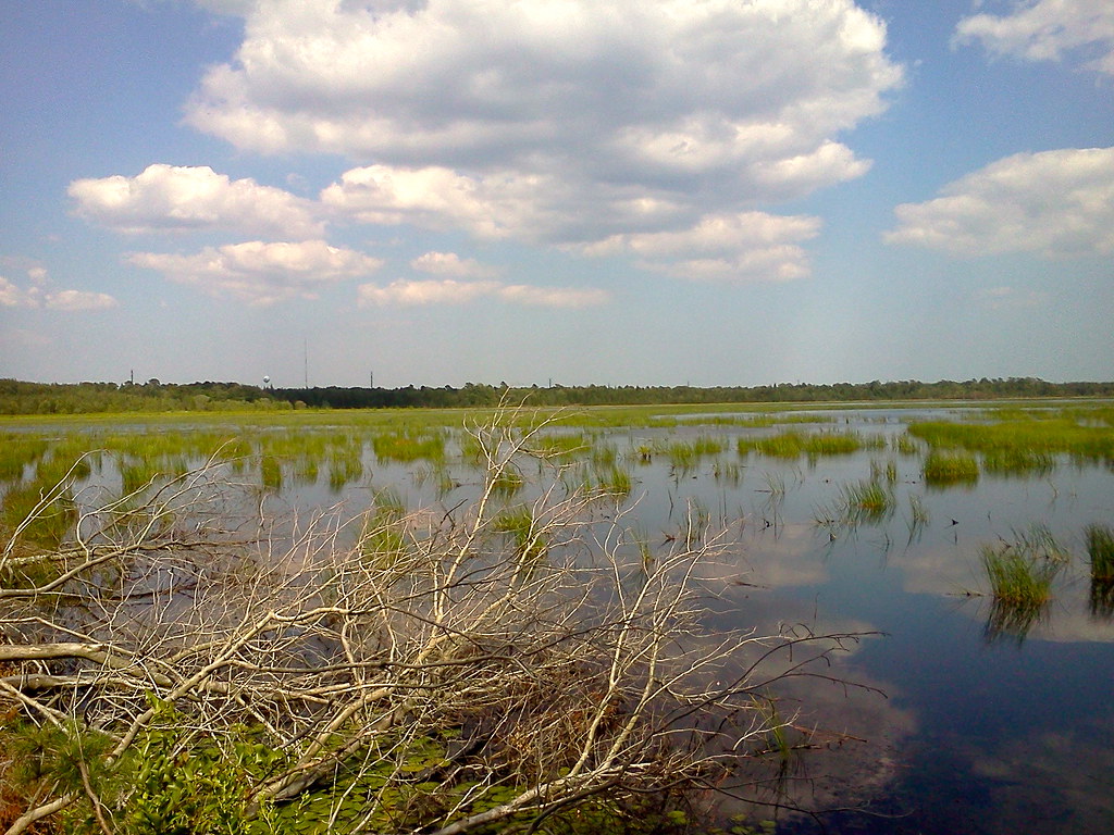
Makepeace Lake WMA
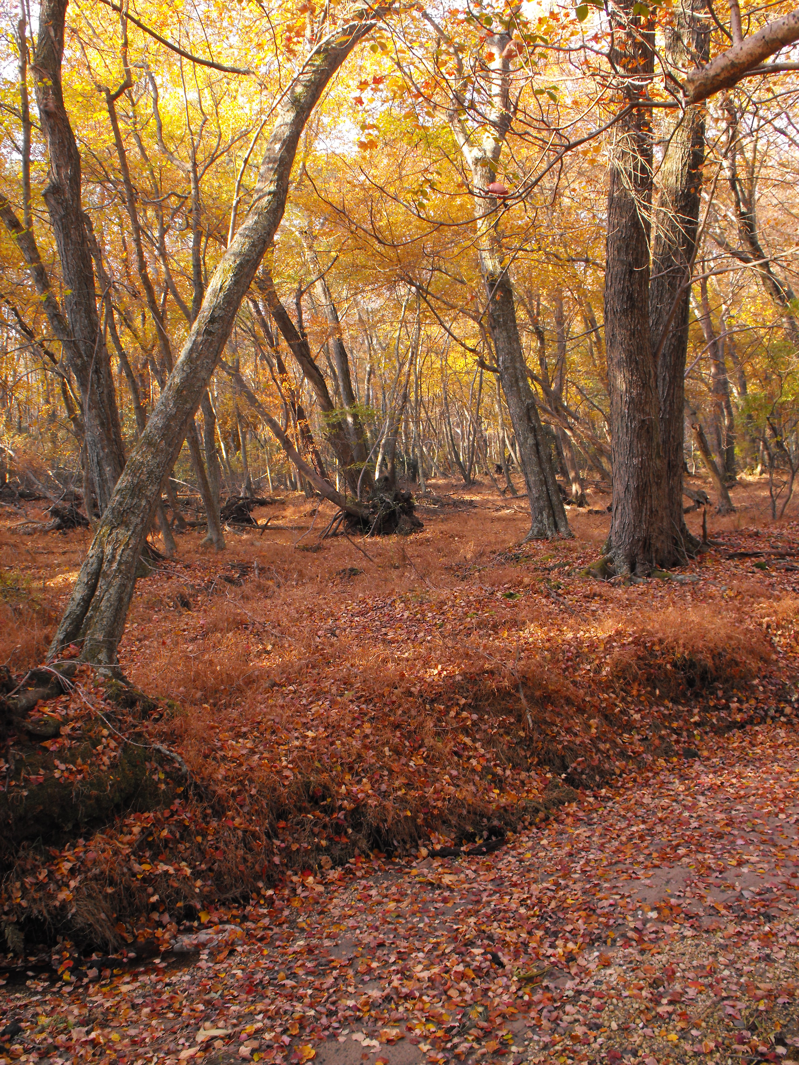
Taste of Fall

Rover's Gravesite

Sunflower Field

2010_1027-0011

Soccer season
Topographic Map of Weymouth Rd, Hammonton, NJ, USA
Find elevation by address:

Places near Weymouth Rd, Hammonton, NJ, USA:
7017 Bridge Rd
7013 Bridge Rd
Gale Ave, Mays Landing, NJ, USA
827 Weymouth Rd
Fulton Ave, Mays Landing, NJ, USA
6466 Jefferson Ave
Hamilton Township
Walnut Ln, Buena, NJ, USA
232 Don Rd
Richland
1275 Harding Hwy
Harding Hwy, Newfield, NJ, USA
6202 Nelson Ave
Nelson Ave, Mays Landing, NJ, USA
Columbia Rd, Mays Landing, NJ, USA
Atlantic County
5952 Pittsburgh Ave
Mays Landing
1006 Tuckahoe Rd
2 Stone Walk
Recent Searches:
- Elevation of Zu den Ihlowbergen, Althüttendorf, Germany
- Elevation of Badaber, Peshawar, Khyber Pakhtunkhwa, Pakistan
- Elevation of SE Heron Loop, Lincoln City, OR, USA
- Elevation of Slanický ostrov, 01 Námestovo, Slovakia
- Elevation of Spaceport America, Co Rd A, Truth or Consequences, NM, USA
- Elevation of Warwick, RI, USA
- Elevation of Fern Rd, Whitmore, CA, USA
- Elevation of 62 Abbey St, Marshfield, MA, USA
- Elevation of Fernwood, Bradenton, FL, USA
- Elevation of Felindre, Swansea SA5 7LU, UK