Elevation of Nelson Ave, Mays Landing, NJ, USA
Location: United States > New Jersey > Atlantic County > Hamilton Township > Mays Landing >
Longitude: -74.751173
Latitude: 39.4538
Elevation: 8m / 26feet
Barometric Pressure: 101KPa
Elevation Map:
Satellite Map:
Related Photos:
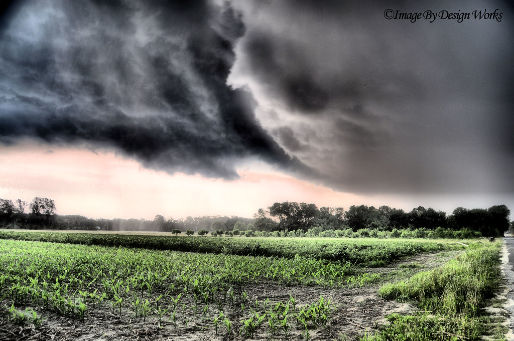
The Storm

Golden Sunset

Pasta & Cable Viewing...

Snow Covered Tree at Sunset

Shining Through

Vintage Military Tractor

Mr. Cardinal

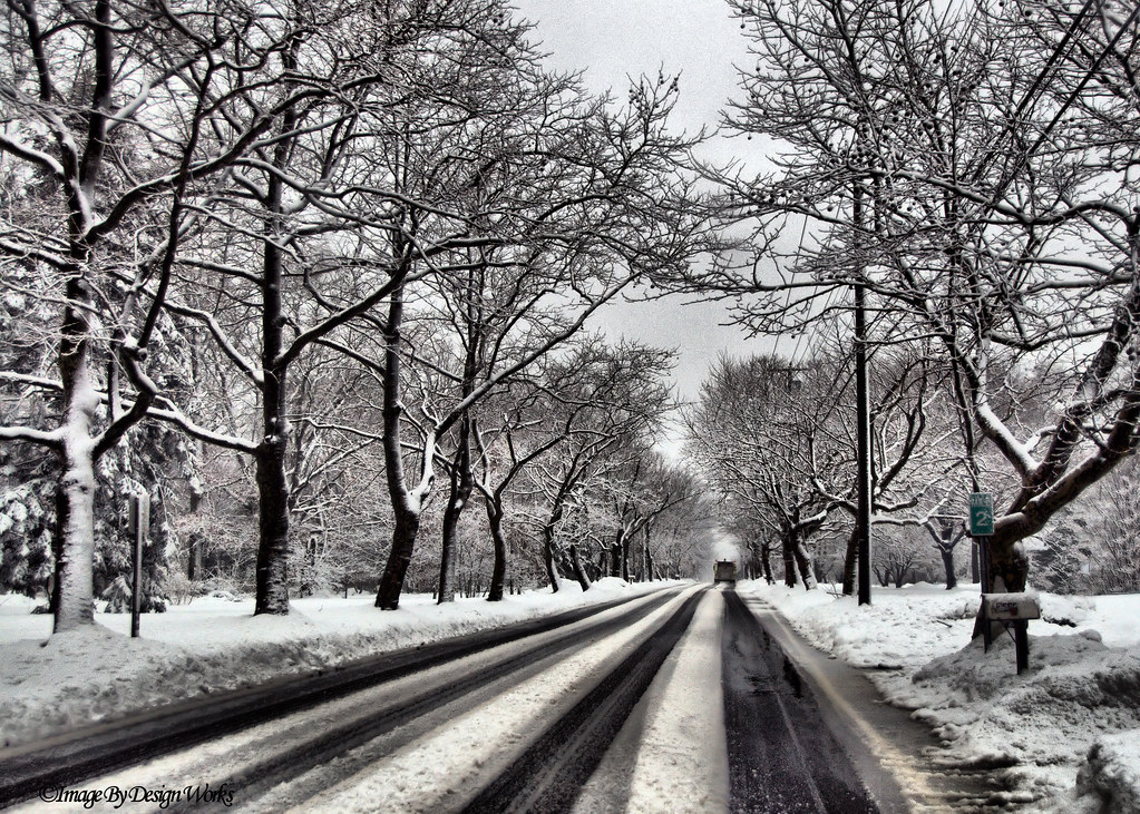
Fire Truck on Snow Covered Road

Schoolhouse on a Tilt
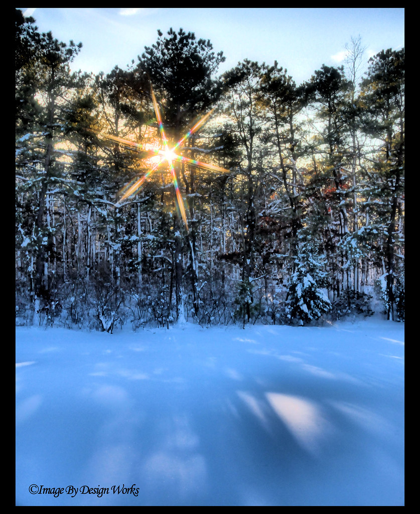
Snow Star
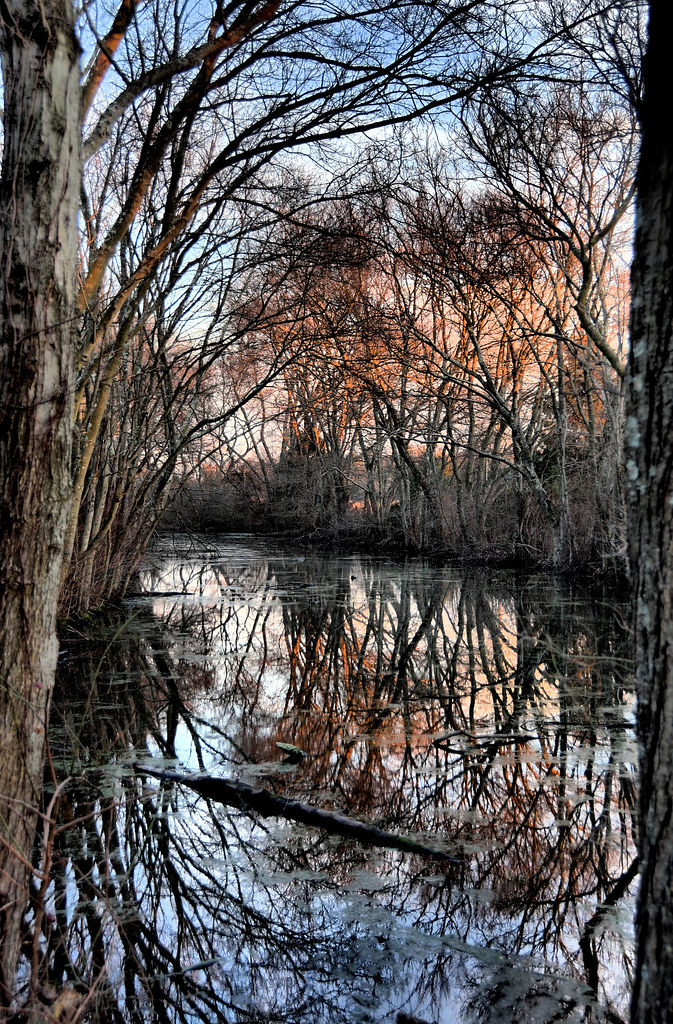
The Pond's Reflection...
[110/365] its gonna take a little time

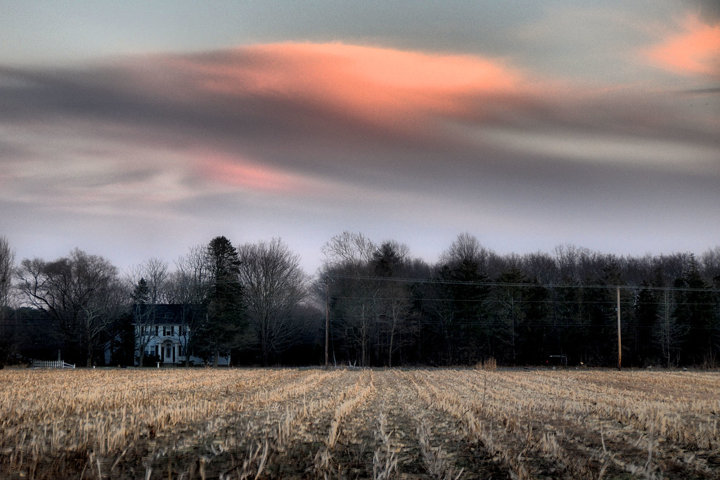
Farm Field Sunset
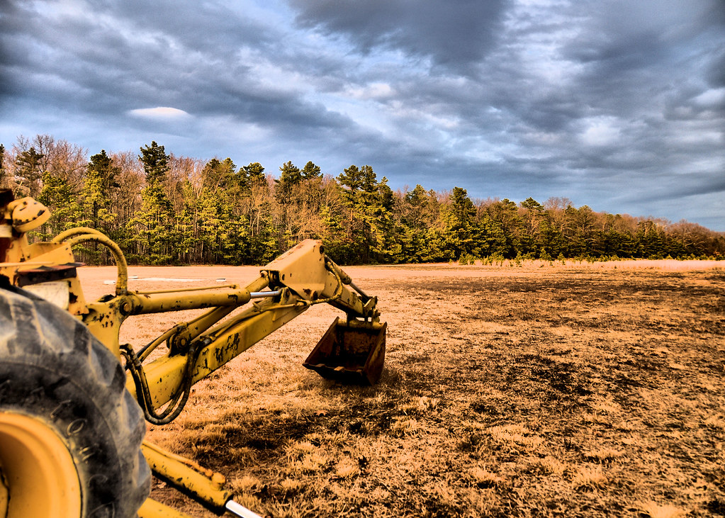
Backhoe Bucket

Mrs. Cardinal
Canopy of Snow Covered Trees
Out of Season
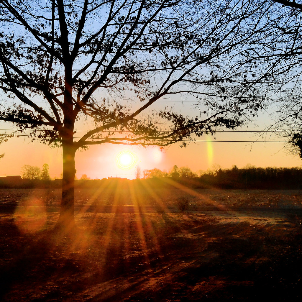
Morning Rays

Bucket tilt
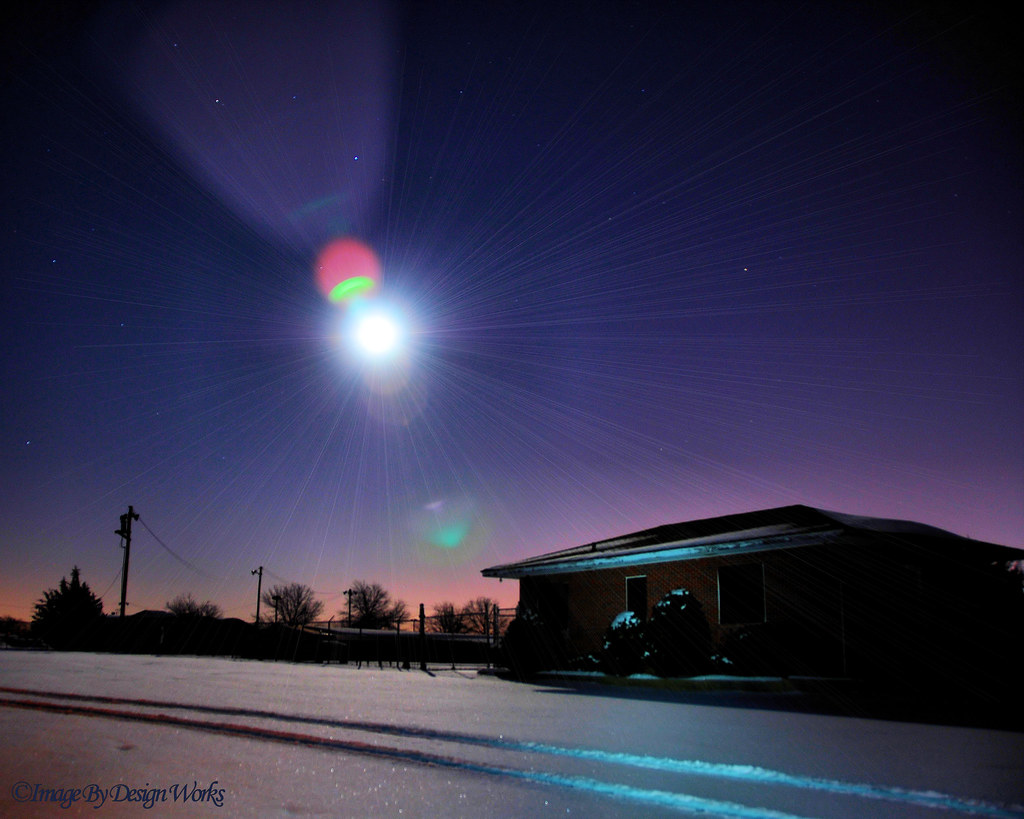
Light of the Moon

Crooked Old Schoolhouse

Chipping Sparrow
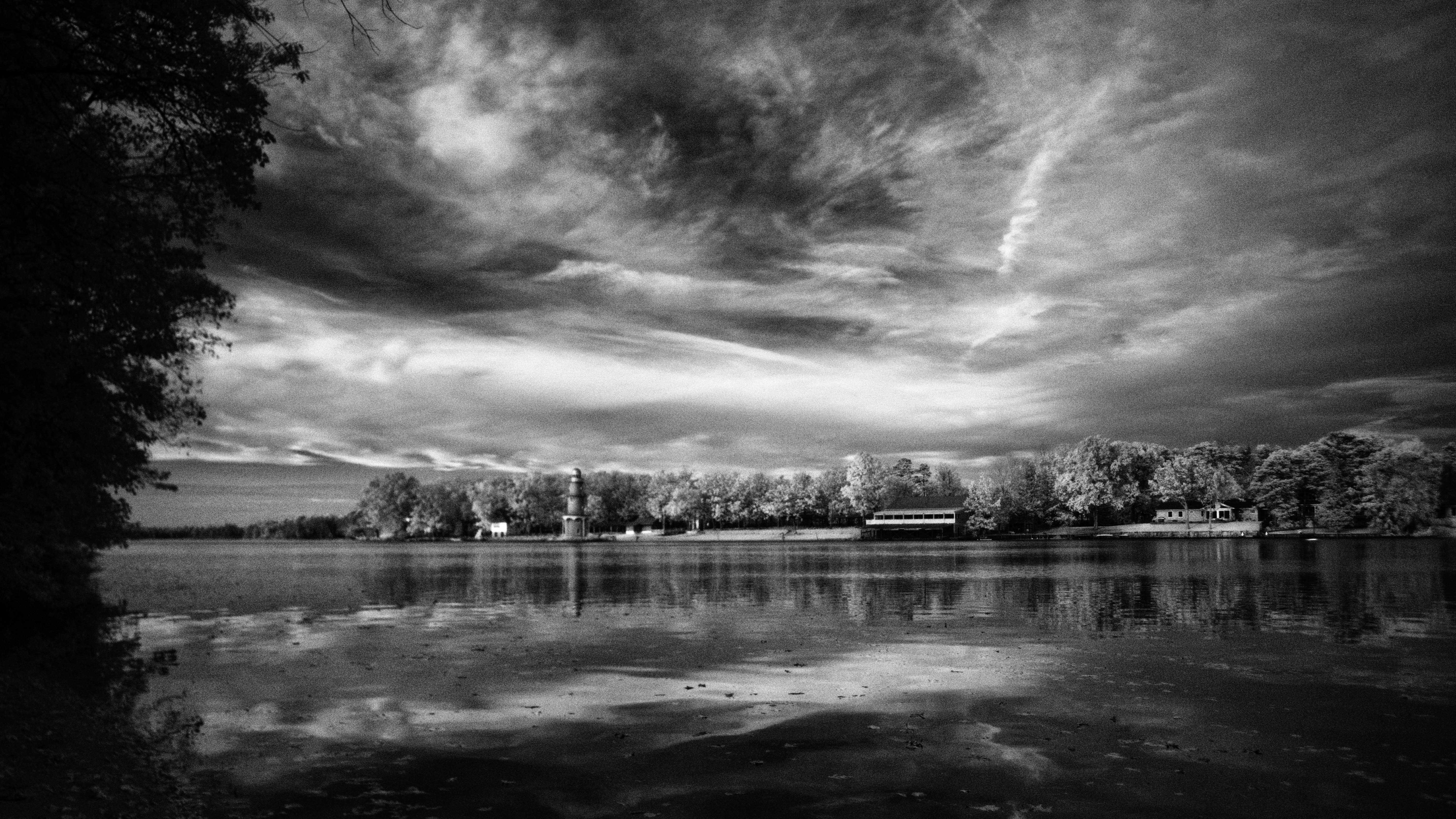
Lake Lenape

dawning of the day

Rover's Gravesite

morning fog 1

Lake Lenape Sunset

Egg Harbor Township Nature Preserve
A Winter's Day...
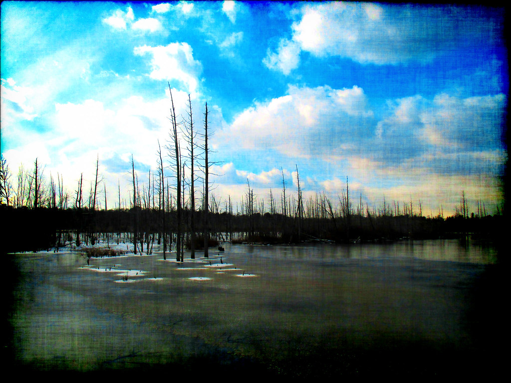
Life In The Dead Zone

South River, Estell Manor

river 034
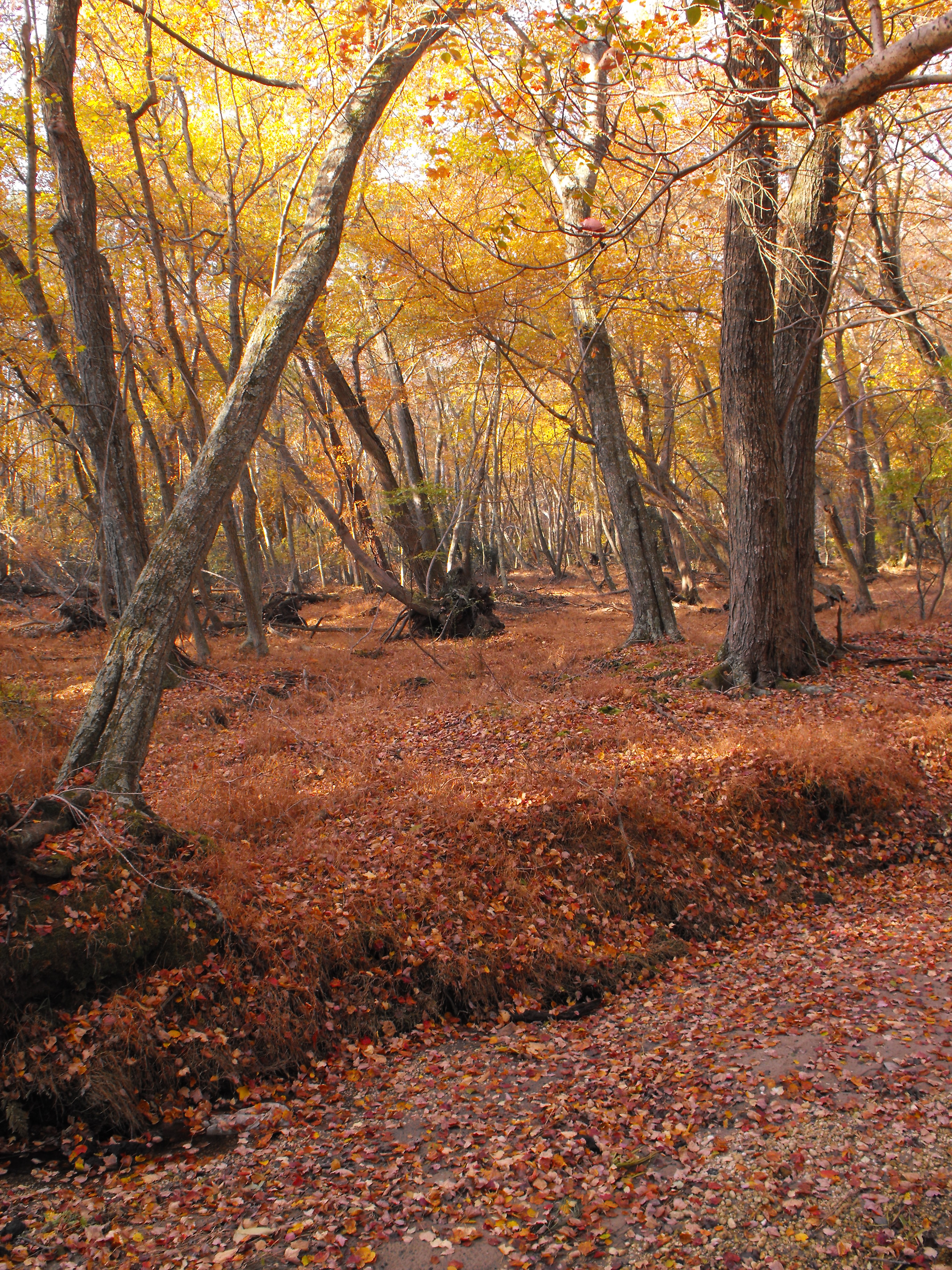
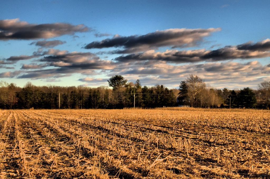
Taste of Fall

morning fog 3

Sparrow in the Grass

Spring Flow

Sunset After a Snow Fall

Rover's Gravesite
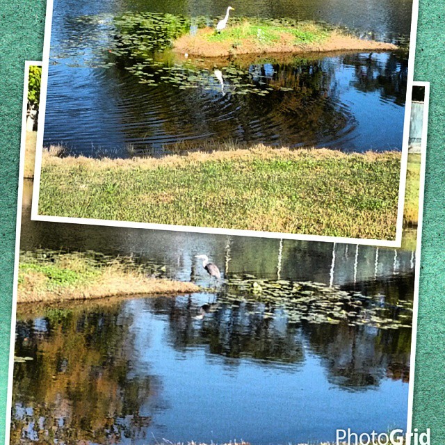
#CraneShots, at the #Woodlands' Pond... #MaysLanding, #NJ #picsartstudio & #photoGrid
Topographic Map of Nelson Ave, Mays Landing, NJ, USA
Find elevation by address:

Places near Nelson Ave, Mays Landing, NJ, USA:
Nelson Ave, Mays Landing, NJ, USA
Mays Landing
River Front, Mays Landing, NJ, USA
1321 W Riverside Dr
Weymouth
Estell Manor
Hamilton Township
Highland Ct, Mays Landing, NJ, USA
5952 Pittsburgh Ave
West Ave, Mays Landing, NJ, USA
Gale Ave, Mays Landing, NJ, USA
7013 Bridge Rd
7017 Bridge Rd
Columbia Rd, Mays Landing, NJ, USA
2 Stone Walk
4 Stone Walk
Fulton Ave, Mays Landing, NJ, USA
6466 Jefferson Ave
W Jersey Ave, Pleasantville, NJ, USA
Reega
Recent Searches:
- Elevation of Tenjo, Cundinamarca, Colombia
- Elevation of Côte-des-Neiges, Montreal, QC H4A 3J6, Canada
- Elevation of Bobcat Dr, Helena, MT, USA
- Elevation of Zu den Ihlowbergen, Althüttendorf, Germany
- Elevation of Badaber, Peshawar, Khyber Pakhtunkhwa, Pakistan
- Elevation of SE Heron Loop, Lincoln City, OR, USA
- Elevation of Slanický ostrov, 01 Námestovo, Slovakia
- Elevation of Spaceport America, Co Rd A, Truth or Consequences, NM, USA
- Elevation of Warwick, RI, USA
- Elevation of Fern Rd, Whitmore, CA, USA