Elevation of W Riverside Dr, Mays Landing, NJ, USA
Location: United States > New Jersey > Atlantic County > Hamilton Township > Mays Landing >
Longitude: -74.719551
Latitude: 39.430236
Elevation: 2m / 7feet
Barometric Pressure: 101KPa
Elevation Map:
Satellite Map:
Related Photos:
[110/365] its gonna take a little time

Loggerhead Shrike

Golden Sunset

Pasta & Cable Viewing...

Shining Through
Mr. Cardinal

Cracked front View

Schoolhouse on a Tilt

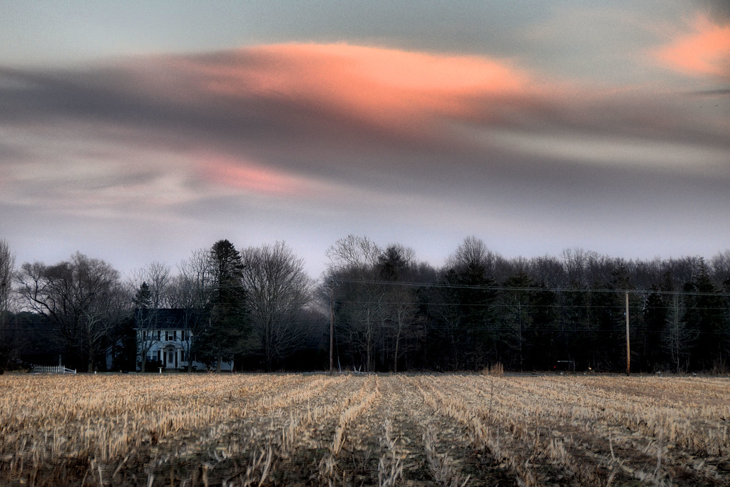
Farm Field Sunset
The Pond's Reflection...

Backhoe Bucket

Mrs. Cardinal
Canopy of Snow Covered Trees
Out of Season
Morning Rays

Bucket tilt

Several Seans
Light of the Moon

Crooked Old Schoolhouse
Man on the Moon
A rear view of the Mays Landing Branch of the ACLS, from River Road...

Spring Flow
Lake Lenape
Tuckahoe WMA
Makepeace Lake WMA

skipper GAM_3576
dawning of the day

Sunset at Wharf Road

Hummocks And Tummocks
Beautiful Day 03-04-17

Rover's Gravesite
The Grove
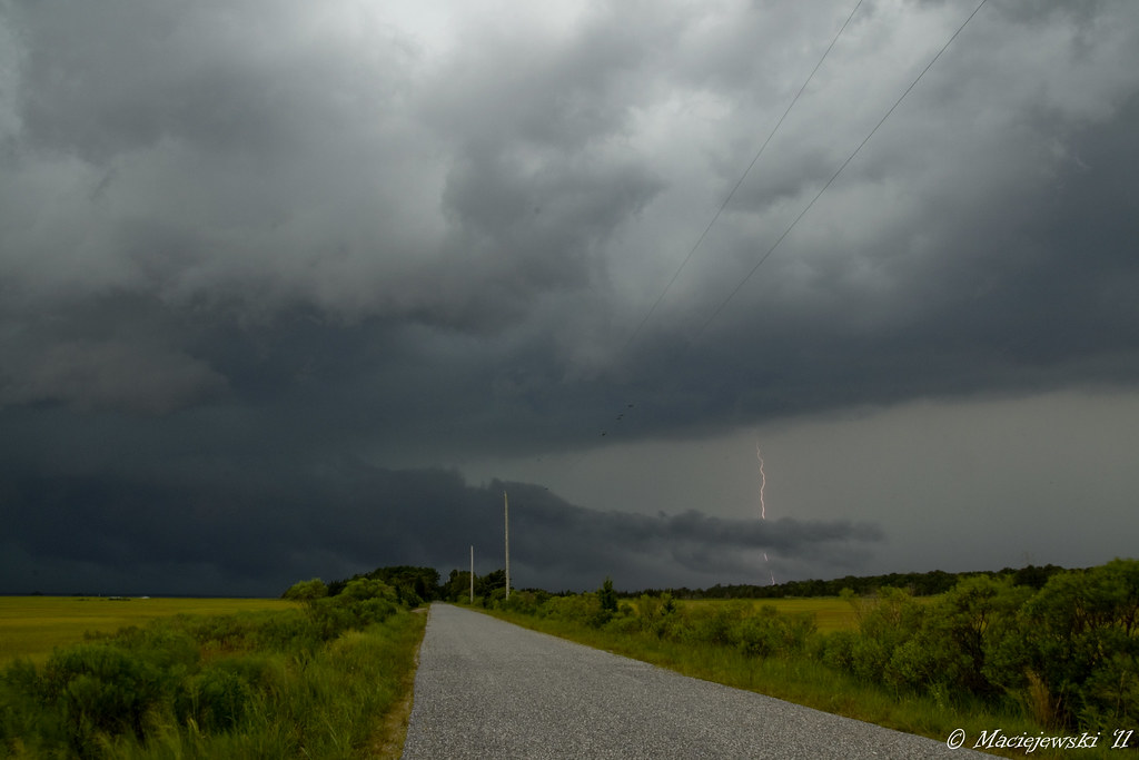
Thunderstorm w/ Lightning

• day is done •
A Winter's Day...
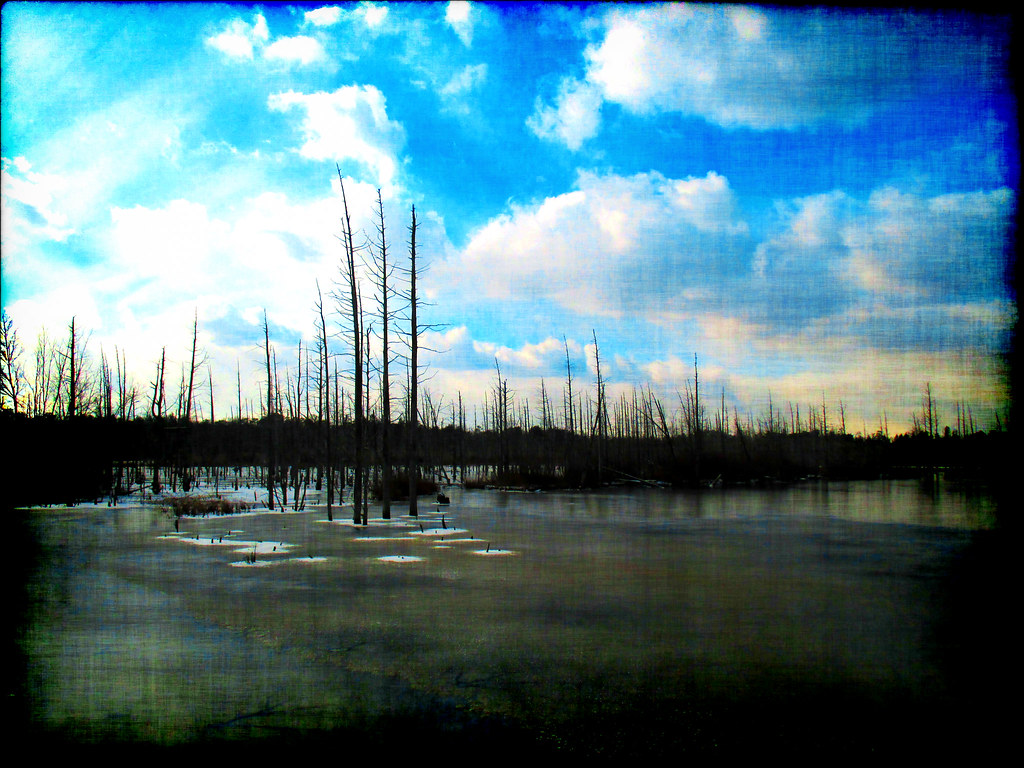
Life In The Dead Zone
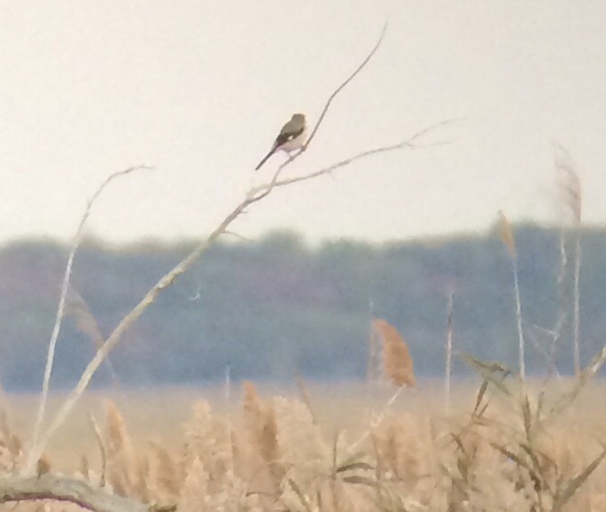
Loggerhead Shrike at Corbin City-McNamara WMA
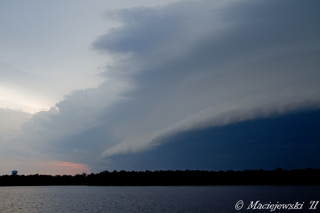
Shelf Cloud
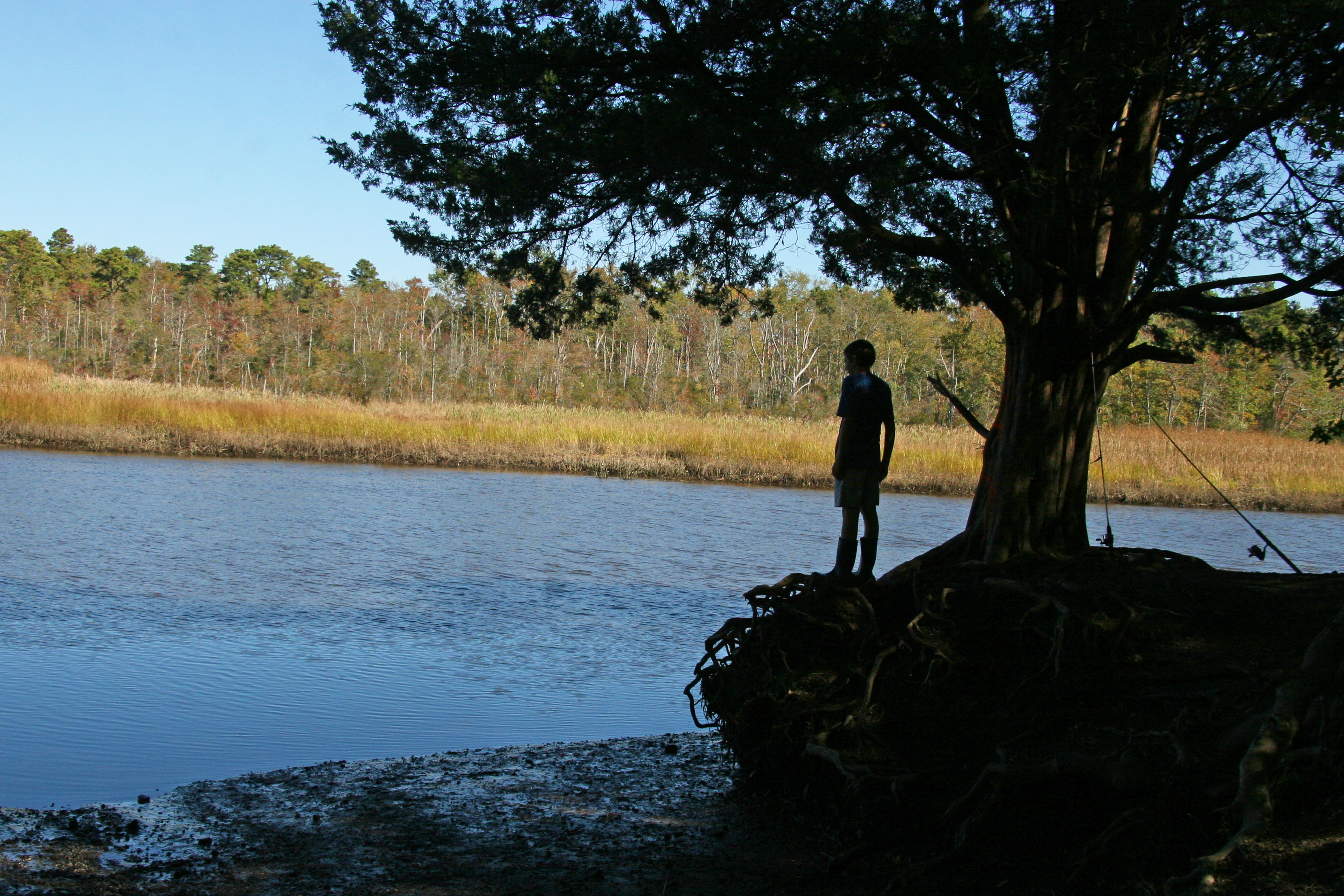
boy fisherman silhouette
Topographic Map of W Riverside Dr, Mays Landing, NJ, USA
Find elevation by address:

Places near W Riverside Dr, Mays Landing, NJ, USA:
Highland Ct, Mays Landing, NJ, USA
River Front, Mays Landing, NJ, USA
Mays Landing
West Ave, Mays Landing, NJ, USA
Estell Manor
6202 Nelson Ave
Nelson Ave, Mays Landing, NJ, USA
Weymouth
W Jersey Ave, Pleasantville, NJ, USA
Reega
271 Pine Ave
Hamilton Township
45 Meadow Cir
4450 E Black Horse Pike
2 Stone Walk
4 Stone Walk
5952 Pittsburgh Ave
E Black Horse Pike, Mays Landing, NJ, USA
Columbia Rd, Mays Landing, NJ, USA
6 Marshall Dr
Recent Searches:
- Elevation of 6 Rue Jules Ferry, Beausoleil, France
- Elevation of Sattva Horizon, 4JC6+G9P, Vinayak Nagar, Kattigenahalli, Bengaluru, Karnataka, India
- Elevation of Great Brook Sports, Gold Star Hwy, Groton, CT, USA
- Elevation of 10 Mountain Laurels Dr, Nashua, NH, USA
- Elevation of 16 Gilboa Ln, Nashua, NH, USA
- Elevation of Laurel Rd, Townsend, TN, USA
- Elevation of 3 Nestling Wood Dr, Long Valley, NJ, USA
- Elevation of Ilungu, Tanzania
- Elevation of Yellow Springs Road, Yellow Springs Rd, Chester Springs, PA, USA
- Elevation of Rēzekne Municipality, Latvia