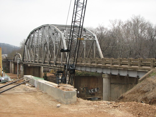
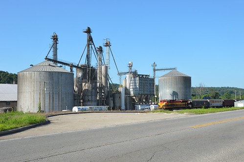
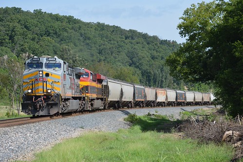
Elevation of Westville, OK, USA
Location: United States > Oklahoma > Adair County >
Longitude: -94.567998
Latitude: 35.9925829
Elevation: 341m / 1119feet
Barometric Pressure: 97KPa
Related Photos:
Topographic Map of Westville, OK, USA
Find elevation by address:

Places in Westville, OK, USA:
Places near Westville, OK, USA:
15 E Division St, Westville, OK, USA
AR-59, Summers, AR, USA
Starr Hill Township
20116 Gem Rd
County Road 675
Dutch Mills Township
Dutch Mills Rd, Lincoln, AR, USA
Lincoln
Lincoln Township
Arthur Ave S, Lincoln, AR, USA
2012 S Mitchell Ave
Rheas Mill Township
Ashley Rd, Lincoln, AR, USA
Co Rd 33, Lincoln, AR, USA
Morrow Township
Clyde Rd, Canehill, AR, USA
Canehill
Bob Kidd Lake
Cane Hill Township
12799 Co Rd 8
Recent Searches:
- Elevation of Congressional Dr, Stevensville, MD, USA
- Elevation of Bellview Rd, McLean, VA, USA
- Elevation of Stage Island Rd, Chatham, MA, USA
- Elevation of Shibuya Scramble Crossing, 21 Udagawacho, Shibuya City, Tokyo -, Japan
- Elevation of Jadagoniai, Kaunas District Municipality, Lithuania
- Elevation of Pagonija rock, Kranto 7-oji g. 8"N, Kaunas, Lithuania
- Elevation of Co Rd 87, Jamestown, CO, USA
- Elevation of Tenjo, Cundinamarca, Colombia
- Elevation of Côte-des-Neiges, Montreal, QC H4A 3J6, Canada
- Elevation of Bobcat Dr, Helena, MT, USA


