Elevation of 15 E Division St, Westville, OK, USA
Location: United States > Oklahoma > Adair County > Westville >
Longitude: -94.567145
Latitude: 35.9925822
Elevation: 339m / 1112feet
Barometric Pressure: 97KPa
Elevation Map:
Satellite Map:
Related Photos:

River Valley 2012
Illinois River-Side View
Summer Shadows Pt. 2

Early morning reflections

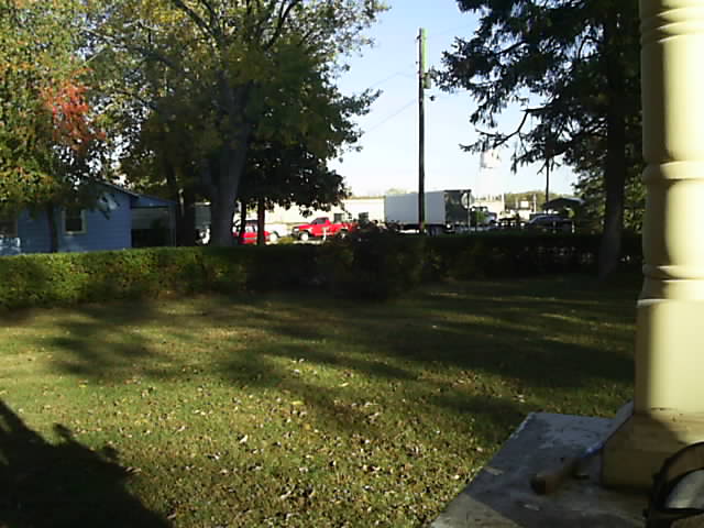
Highway 45 House
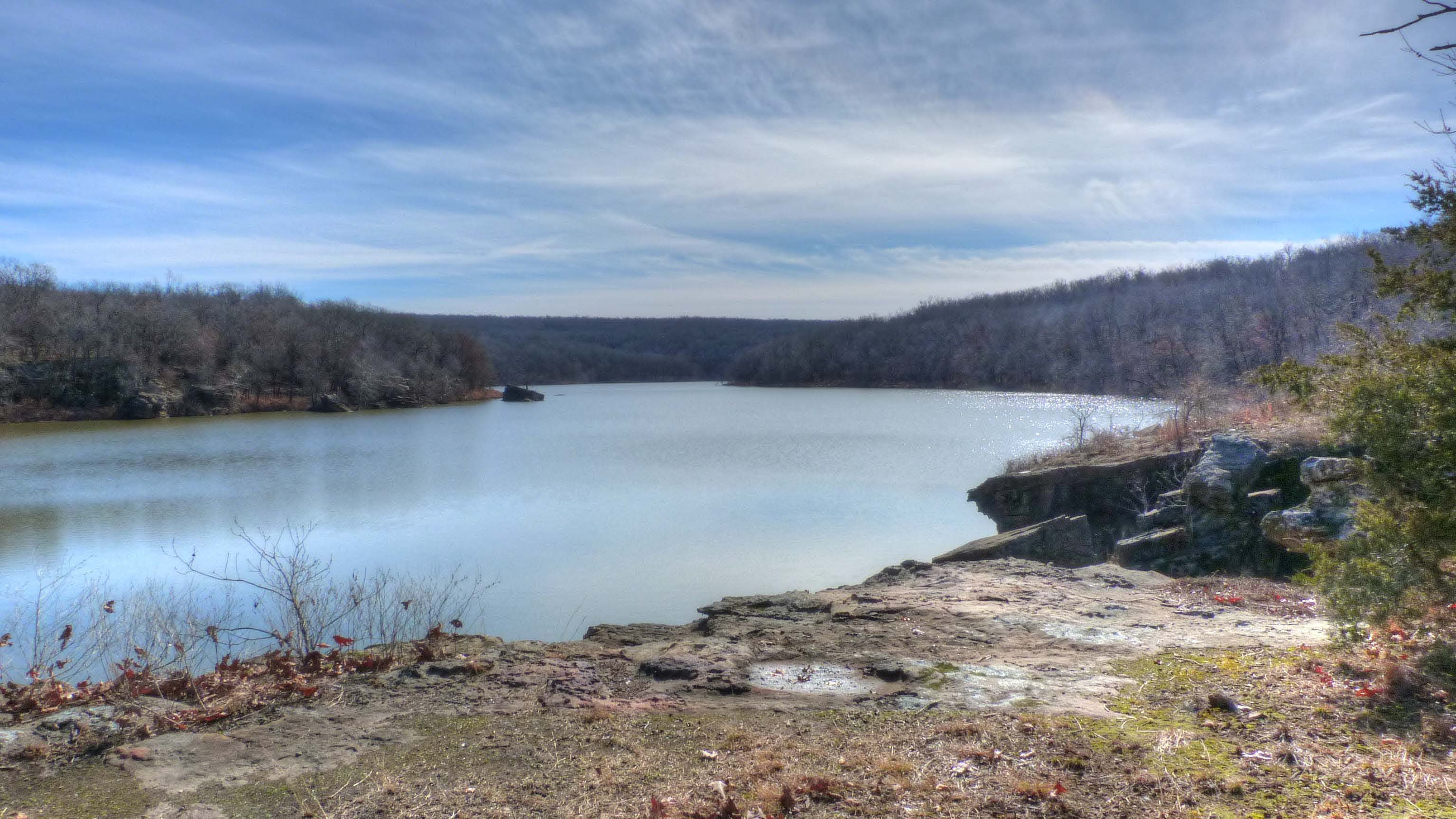
Lincoln Lake

Puddle near Lincoln Lake

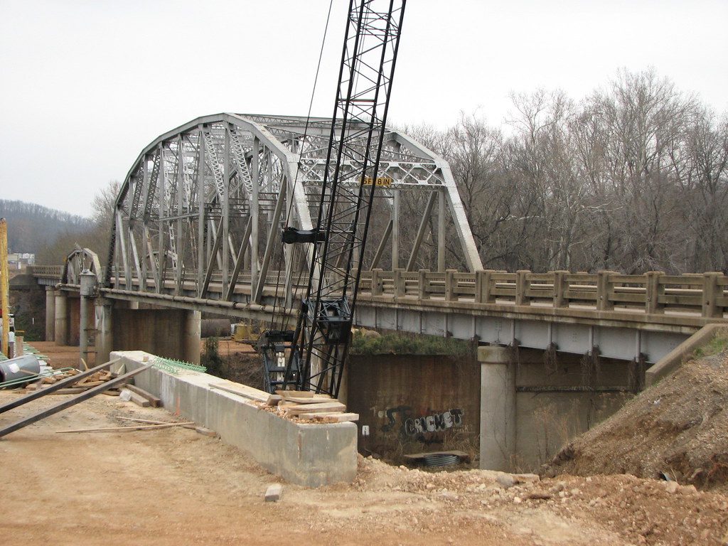
KCS Bridge Near Stilwell - I

Through The Tree's

The power, Ballard Oklahoma
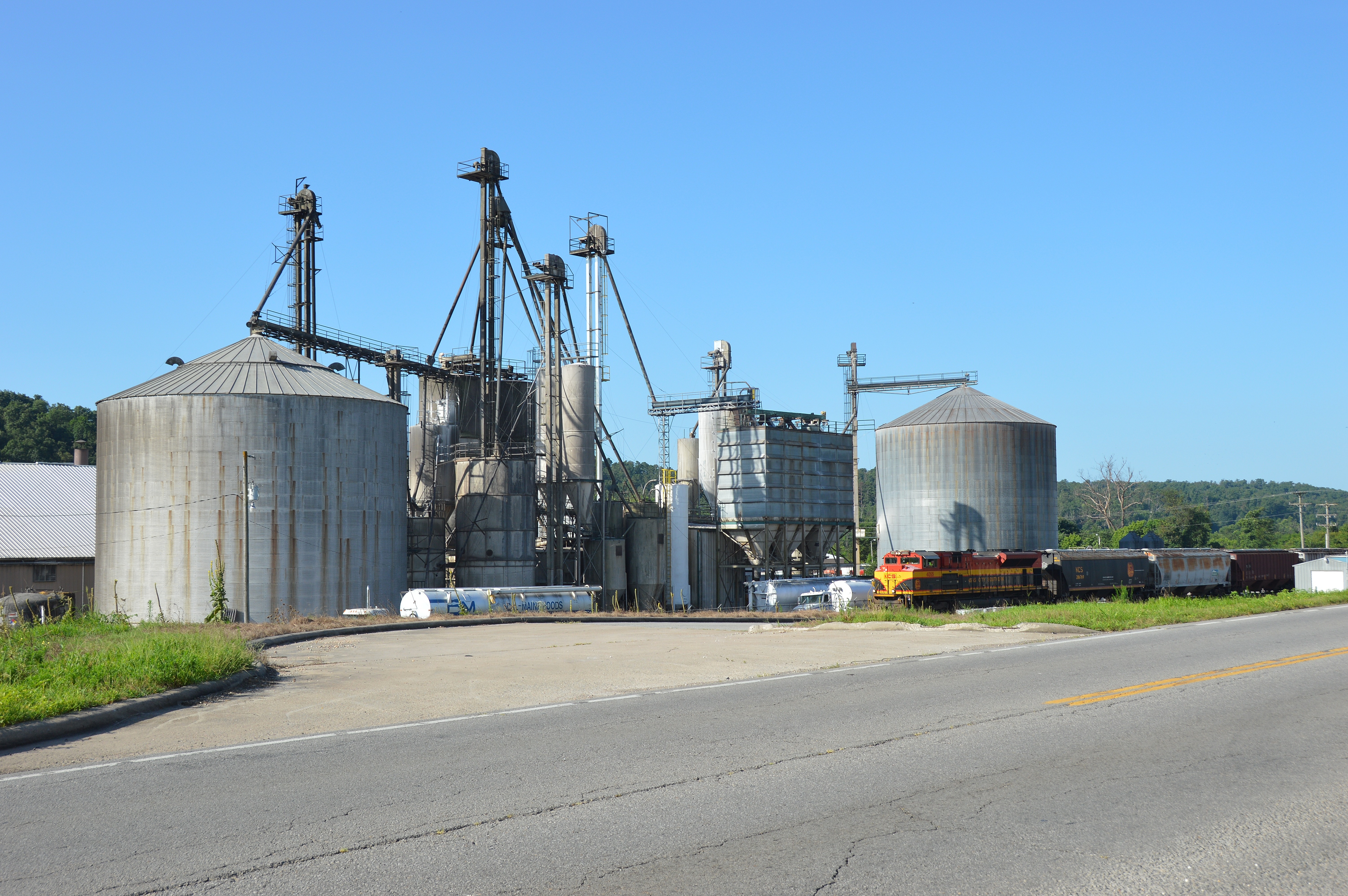
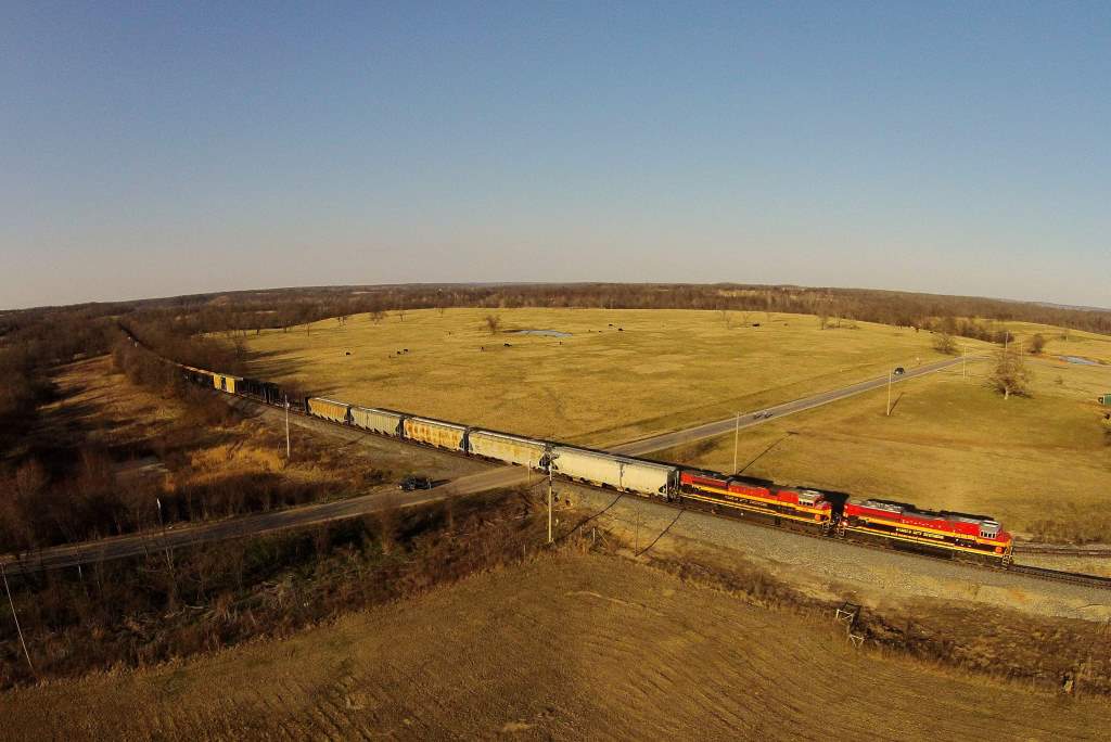
A northbound grain train moves in front of Bakery Feeds , Watts Oklahoma.
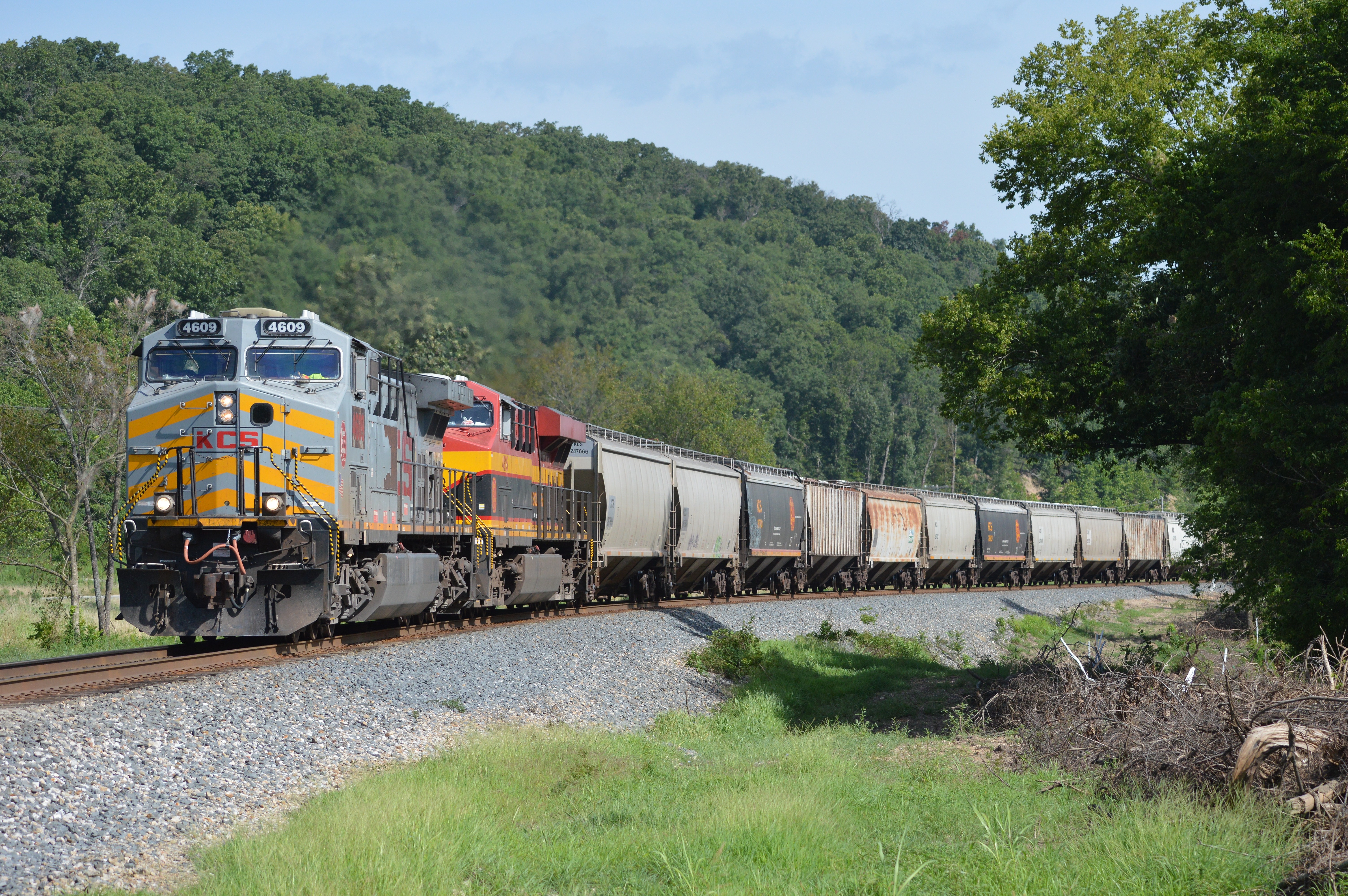
Grain goin south, the KCS has a hopper train at Watts Oklahoma .

House portrait

American Drive-In

KCS Bridge Near Stilwell - II
KCS HKCSH 10, Hudson, OK

KCS HKCSH 10, Watts, OK
Topographic Map of 15 E Division St, Westville, OK, USA
Find elevation by address:

Places near 15 E Division St, Westville, OK, USA:
Westville
AR-59, Summers, AR, USA
Starr Hill Township
20116 Gem Rd
County Road 675
Dutch Mills Township
Dutch Mills Rd, Lincoln, AR, USA
Lincoln
Lincoln Township
Arthur Ave S, Lincoln, AR, USA
2012 S Mitchell Ave
Rheas Mill Township
Ashley Rd, Lincoln, AR, USA
Co Rd 33, Lincoln, AR, USA
Morrow Township
Clyde Rd, Canehill, AR, USA
Canehill
Bob Kidd Lake
Cane Hill Township
12799 Co Rd 8
Recent Searches:
- Elevation of Elwyn Dr, Roanoke Rapids, NC, USA
- Elevation of Congressional Dr, Stevensville, MD, USA
- Elevation of Bellview Rd, McLean, VA, USA
- Elevation of Stage Island Rd, Chatham, MA, USA
- Elevation of Shibuya Scramble Crossing, 21 Udagawacho, Shibuya City, Tokyo -, Japan
- Elevation of Jadagoniai, Kaunas District Municipality, Lithuania
- Elevation of Pagonija rock, Kranto 7-oji g. 8"N, Kaunas, Lithuania
- Elevation of Co Rd 87, Jamestown, CO, USA
- Elevation of Tenjo, Cundinamarca, Colombia
- Elevation of Côte-des-Neiges, Montreal, QC H4A 3J6, Canada