Elevation of Westminster, SC, USA
Location: United States > South Carolina > Oconee County >
Longitude: -83.096542
Latitude: 34.6648197
Elevation: 283m / 928feet
Barometric Pressure: 98KPa
Elevation Map:
Satellite Map:
Related Photos:
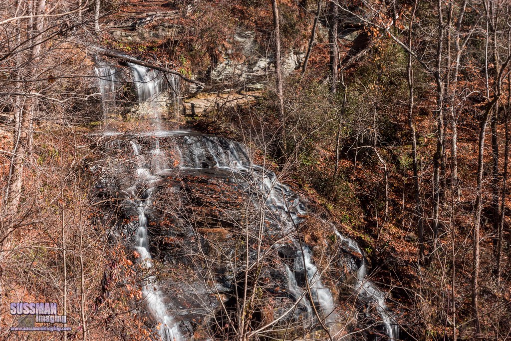
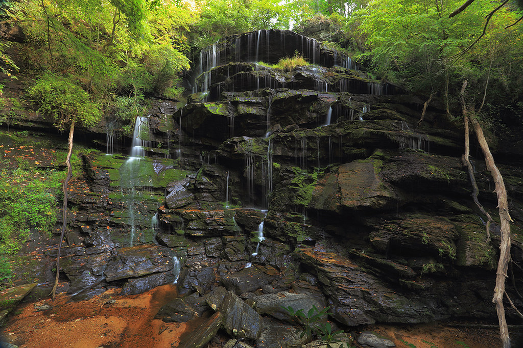
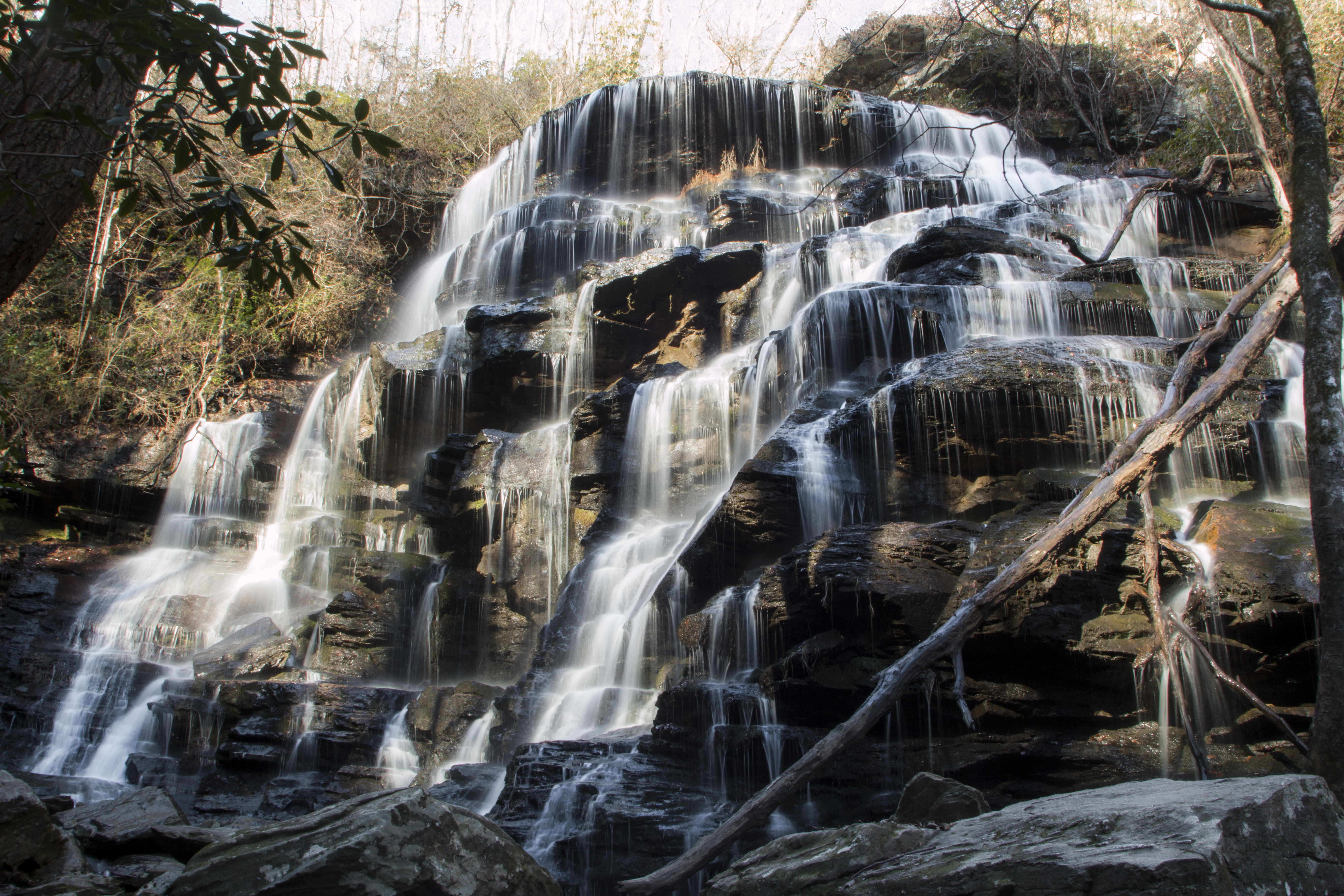
Isaqueena Falls
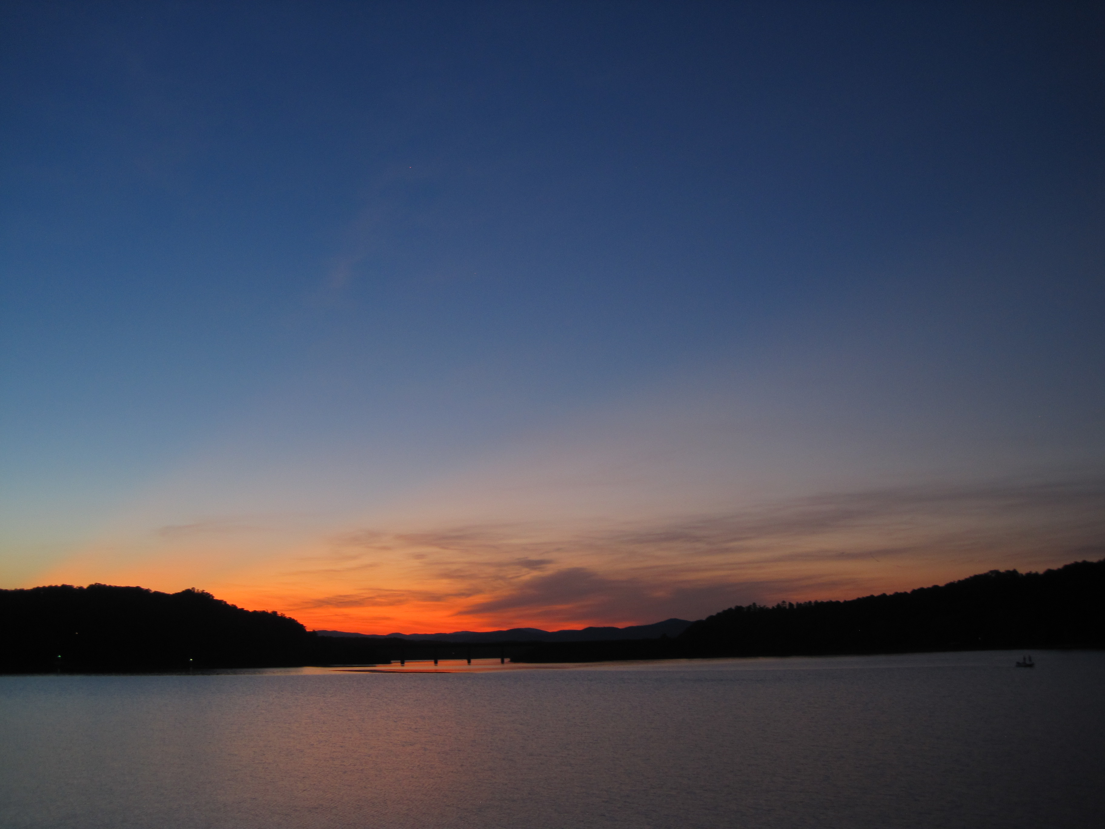
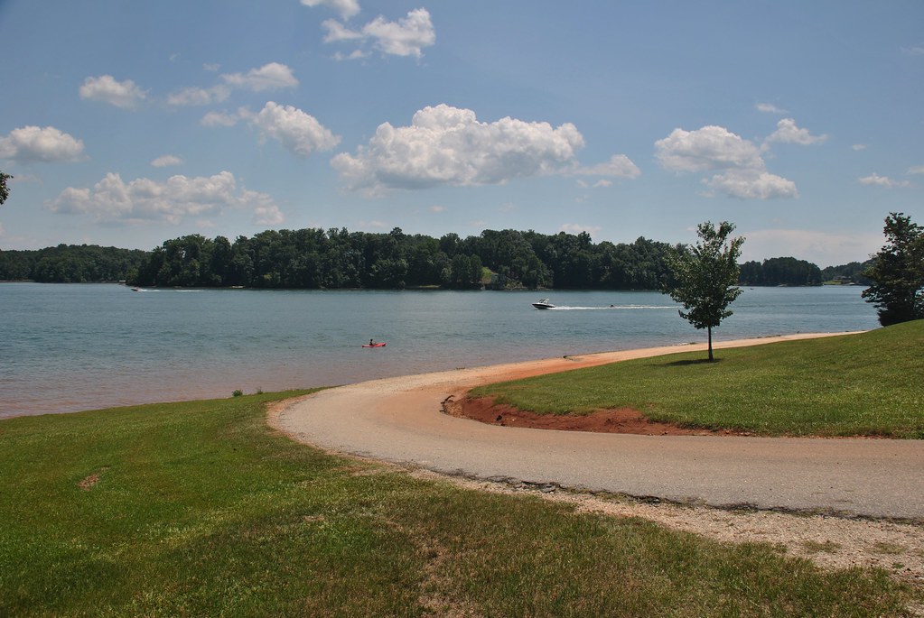
Settlin’ in for some night fishing on Lake Hartwell.
Traveler's Rest

31.365
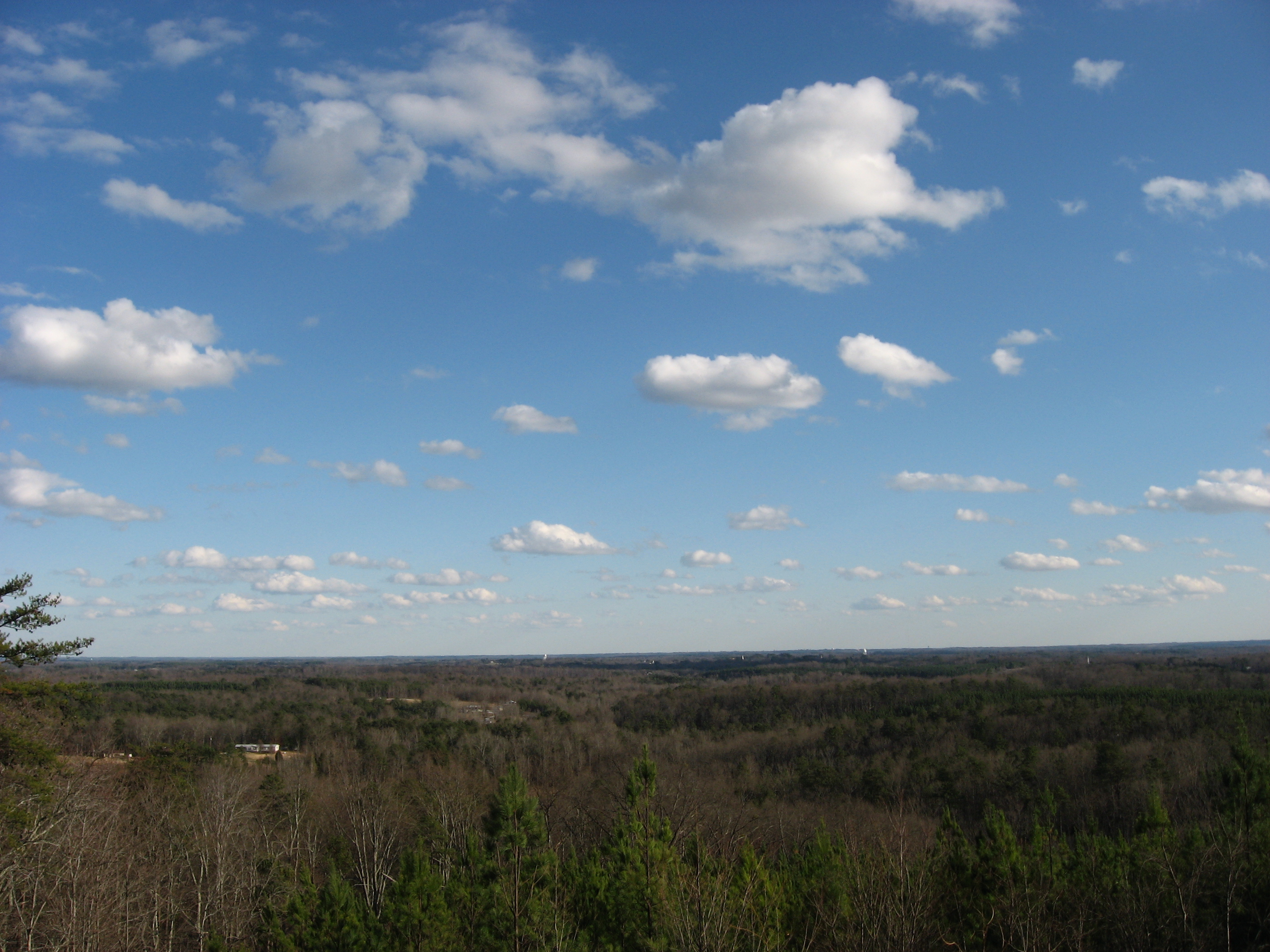
A fine prospect.
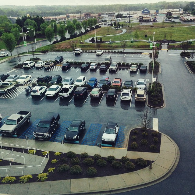
4/14/15-Up. View from up above the parking lot at the hospital. #fmsphotoaday #parkinglot #cars #rain #hospital #up
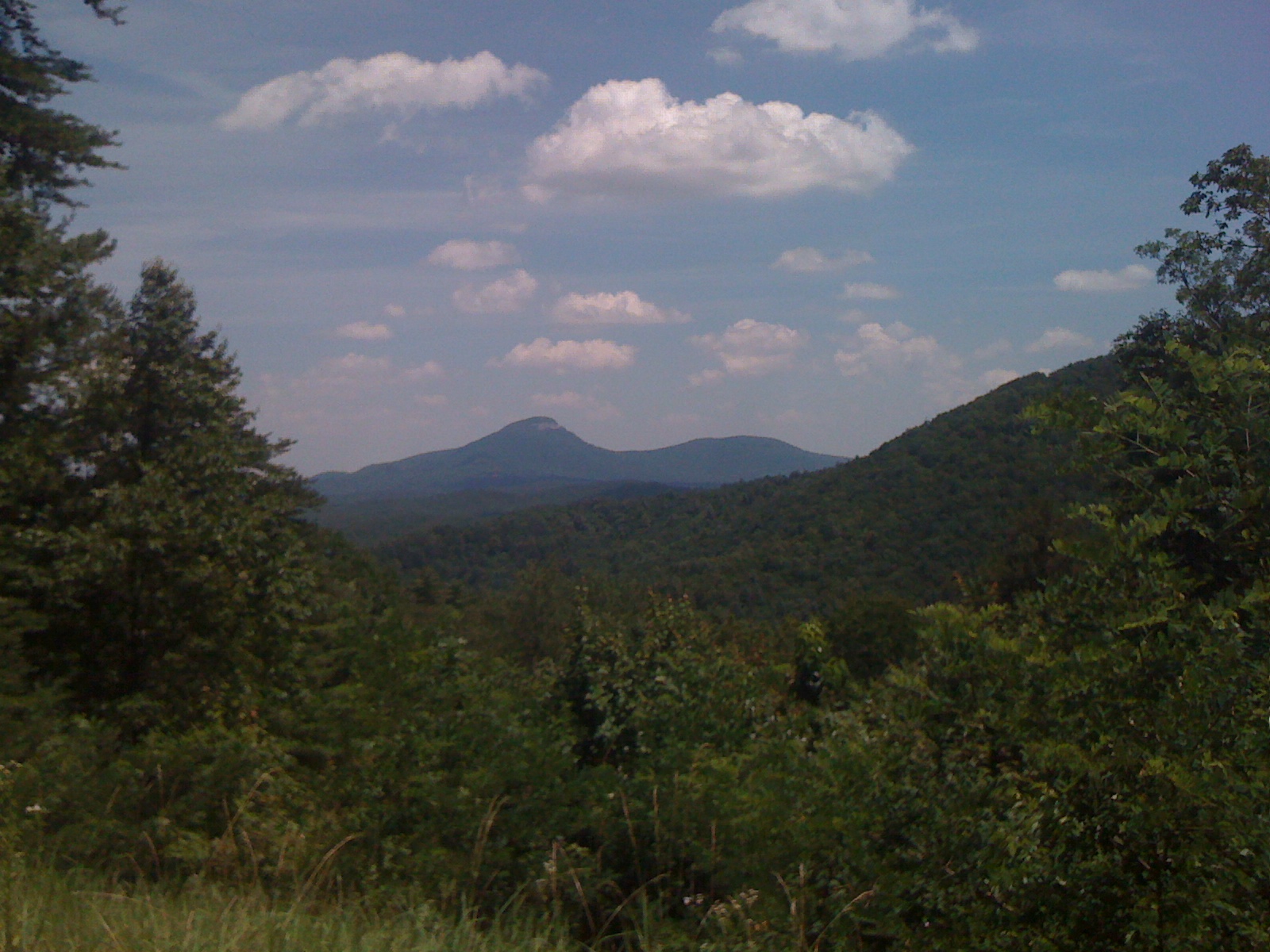
View of Yonah from Dukes Creek Falls Lot

Day 66 - reasons I need a tripod
Pointing Toward Heaven

Day 1054 - Happy 2010! (The Year In Review)
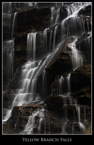
Yellow Branch Falls, Isolation
Yellow Branch falls
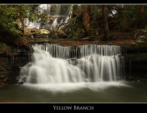
Below Yellow Branch Falls

Issaqueena Falls
Summer Rains, Water Falls
Crow Creek Falls-Toby Gant_DSC0981_2013

Little Yellow Branch Falls
Tugaloo River
Ramsey Creek
NS 2531
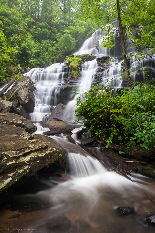
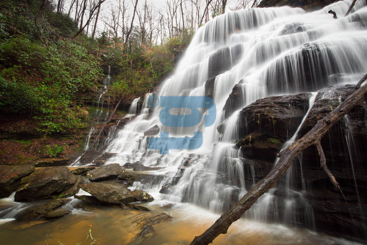
Ramsey Fall
Yellow Branch Falls 6

Yellow Branch Falls 190

South Cove
South Cove

Wahalla, SC: Issaqueena Falls

No bend in sight

Issaqueena Falls (4)

IMG_20130526_151327.jpg

Blue Hole Falls (2)

Yellow Branch Falls (13)
Topographic Map of Westminster, SC, USA
Find elevation by address:

Places in Westminster, SC, USA:
Toccoa Hwy, Westminster, SC, USA
Camaro Dr, Westminster, SC, USA
N Piedmont St, Westminster, SC, USA
Bountyland Rd, Westminster, SC, USA
Circle W Dr, Westminster, SC, USA
Kingston Manor Drive
Rocky Fork Road
Rich Mountain Road
Places near Westminster, SC, USA:
N Piedmont St, Westminster, SC, USA
422 Doyle St
328 Weldon Rd
242 Weldon Rd
Camaro Dr, Westminster, SC, USA
220 Pickens Rd
Chau Ram County Park
178 Ramsey Creek Rd
Bountyland Rd, Westminster, SC, USA
125 Our Pl Dr
Rich Mountain Road
W Springwood Dr, Seneca, SC, USA
Walhalla
655 State Rd S-37-341
Oconee Memorial Park
205 W Woodland Dr
West Union
505 N Laurel St
Keowee School Rd, Seneca, SC, USA
313 Sc-11
Recent Searches:
- Elevation of Corso Fratelli Cairoli, 35, Macerata MC, Italy
- Elevation of Tallevast Rd, Sarasota, FL, USA
- Elevation of 4th St E, Sonoma, CA, USA
- Elevation of Black Hollow Rd, Pennsdale, PA, USA
- Elevation of Oakland Ave, Williamsport, PA, USA
- Elevation of Pedrógão Grande, Portugal
- Elevation of Klee Dr, Martinsburg, WV, USA
- Elevation of Via Roma, Pieranica CR, Italy
- Elevation of Tavkvetili Mountain, Georgia
- Elevation of Hartfords Bluff Cir, Mt Pleasant, SC, USA