Elevation of Circle W Dr, Westminster, SC, USA
Location: United States > South Carolina > Oconee County > Westminster >
Longitude: -83.105636
Latitude: 34.626939
Elevation: 233m / 764feet
Barometric Pressure: 99KPa
Elevation Map:
Satellite Map:
Related Photos:
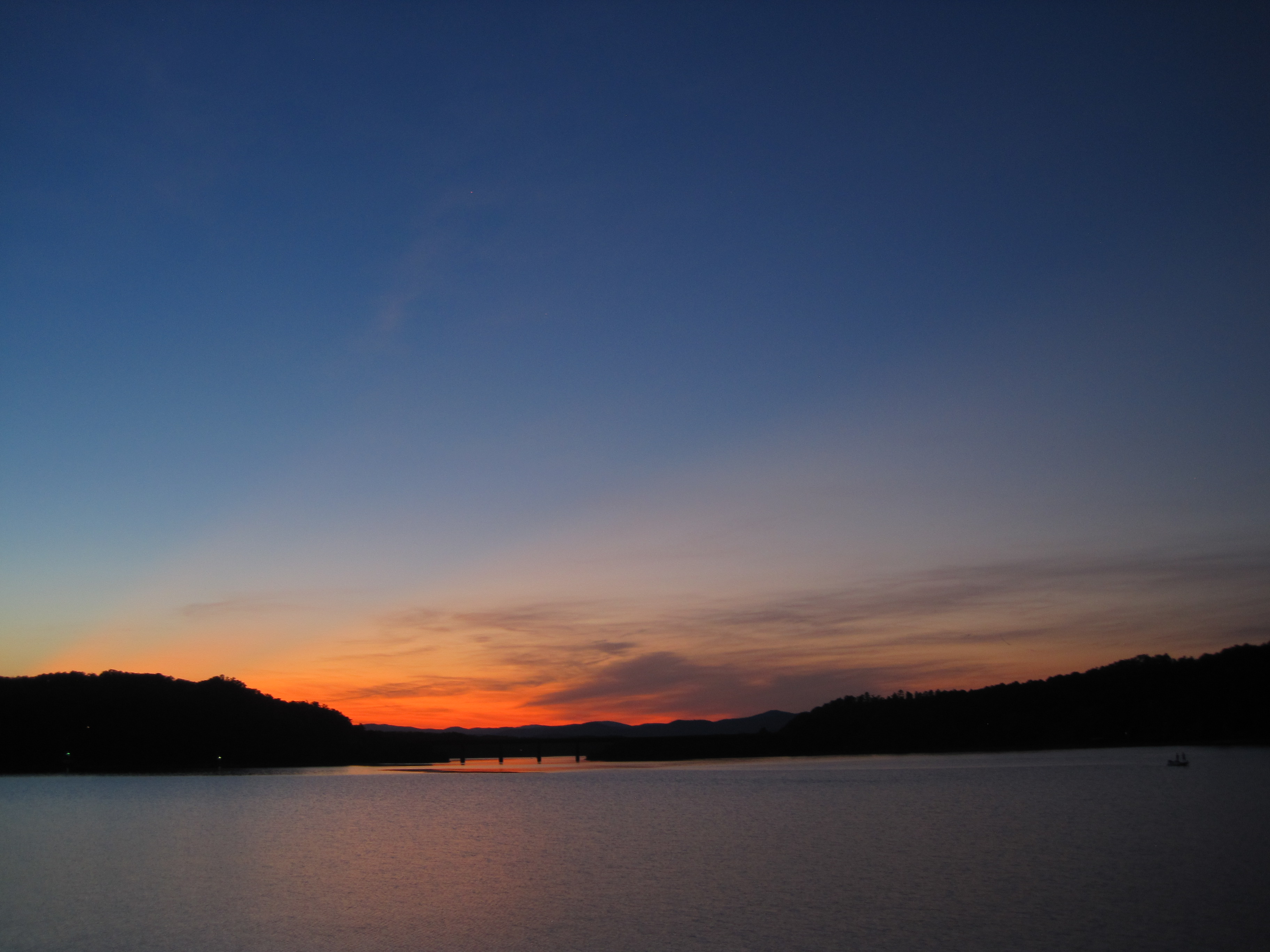
Settlin’ in for some night fishing on Lake Hartwell.
Traveler's Rest
31.365

Short hike but worth the view . . . . #Artofvisuals #aov #global_hotshotz #beautifuldestinations #passionpassport #CreateExplore #awesome_earthpix #awesomeearth #earthfocus #feedbacknation #wildernessculture #visualsoflife #myfujifilm #fujifilmx_us #cbvi
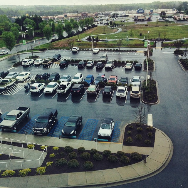
4/14/15-Up. View from up above the parking lot at the hospital. #fmsphotoaday #parkinglot #cars #rain #hospital #up
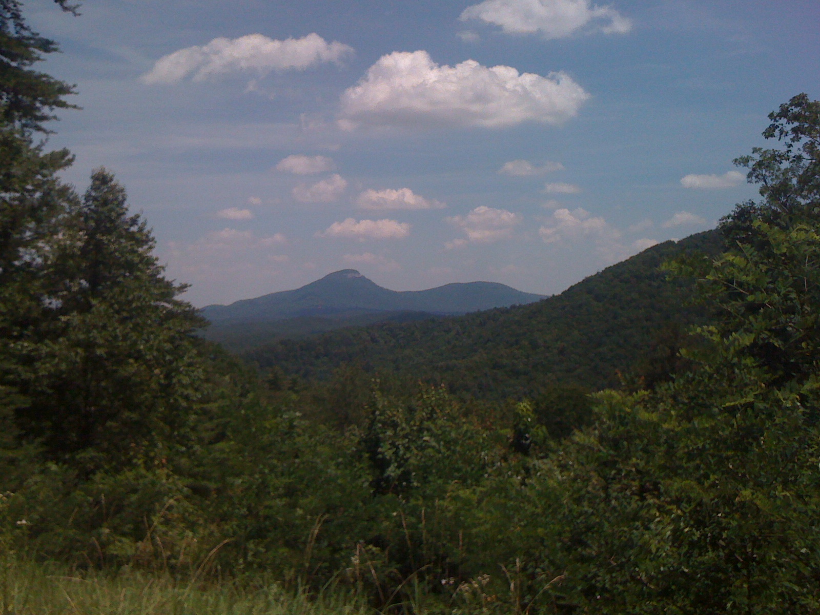
View of Yonah from Dukes Creek Falls Lot
Pointing Toward Heaven
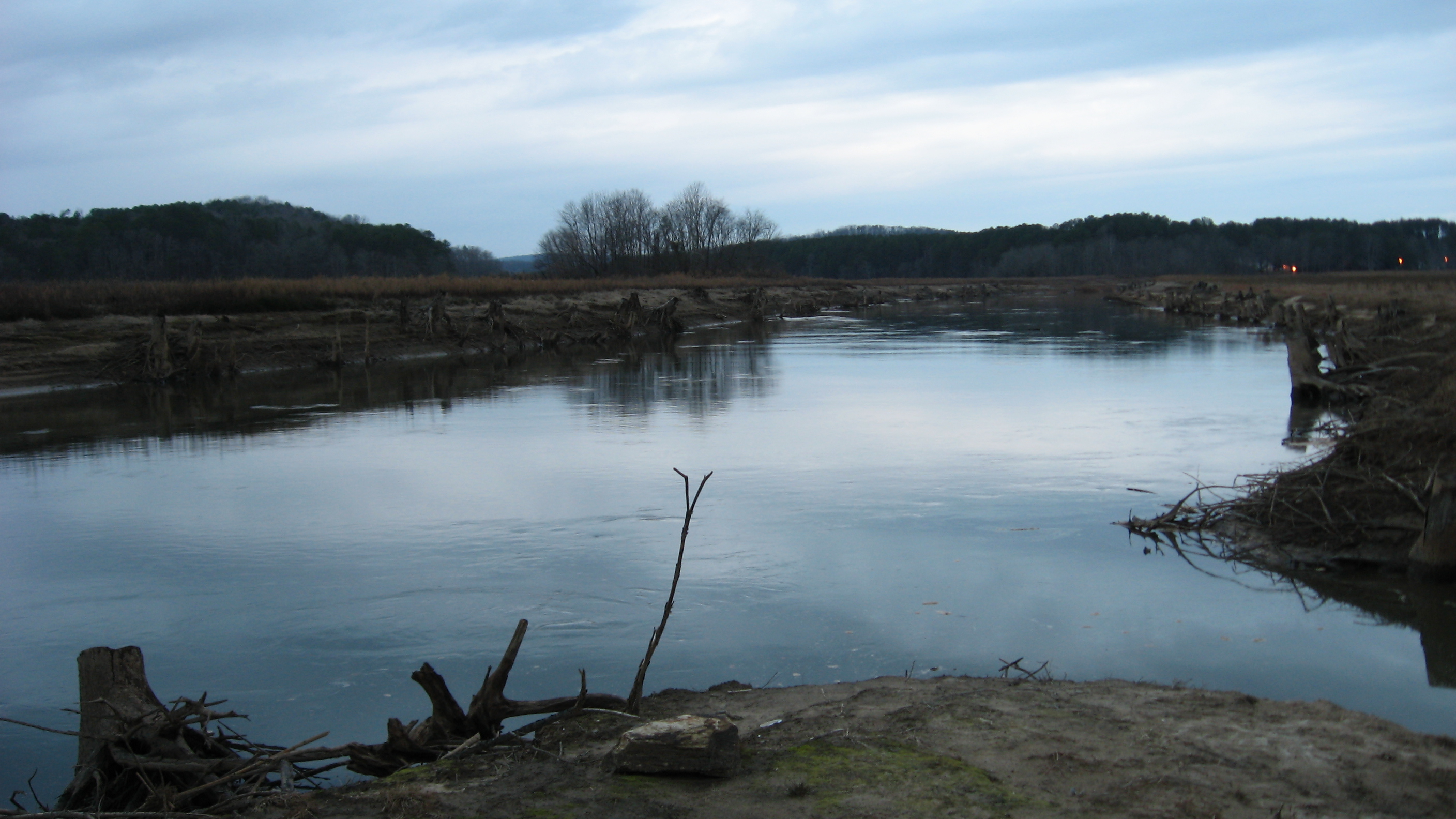
Tugaloo River
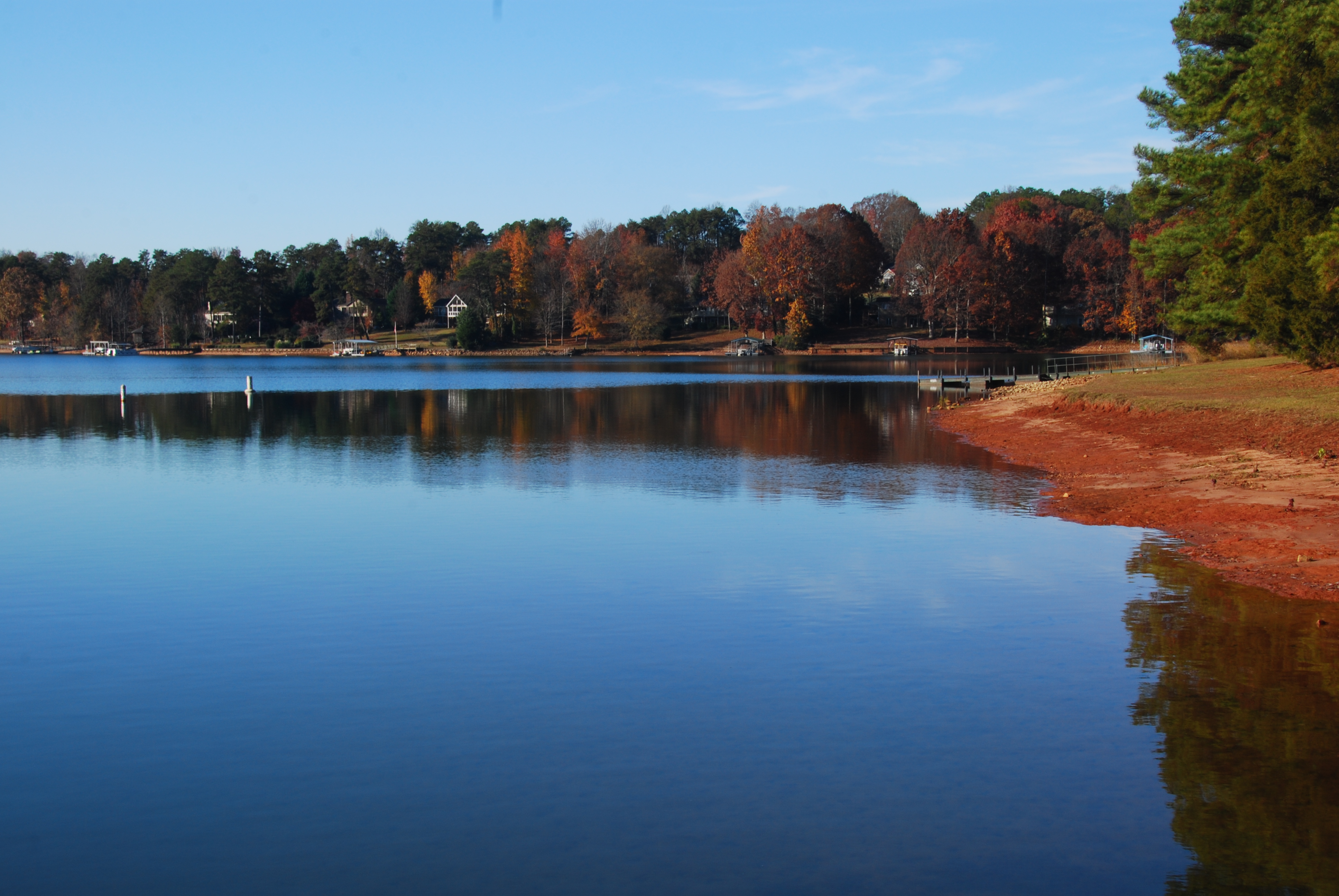
Keowee Shore
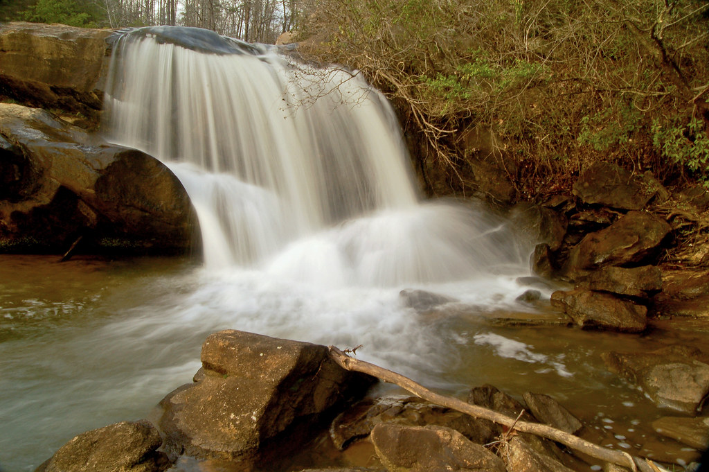
Ramsey Creek
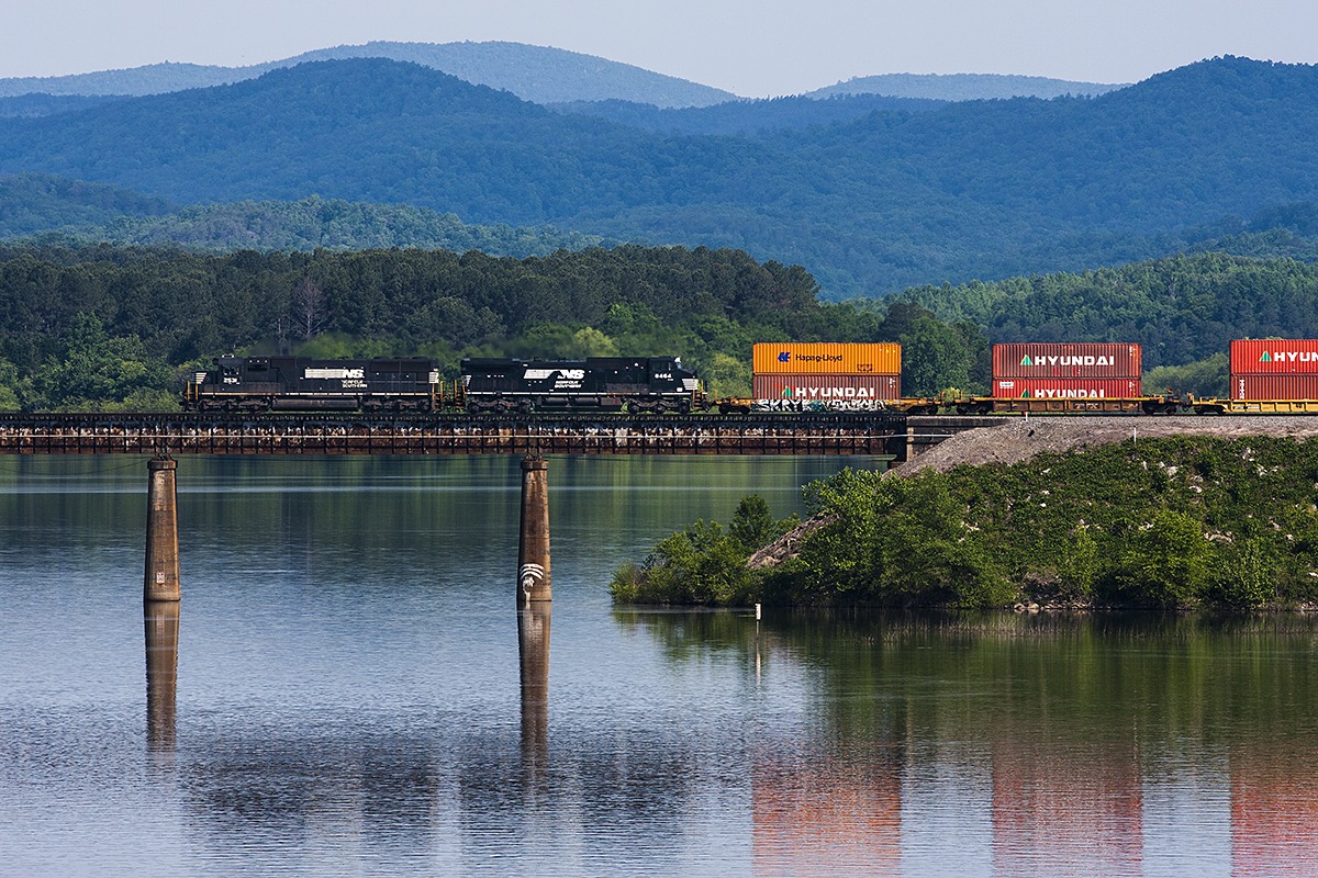
NS 2531
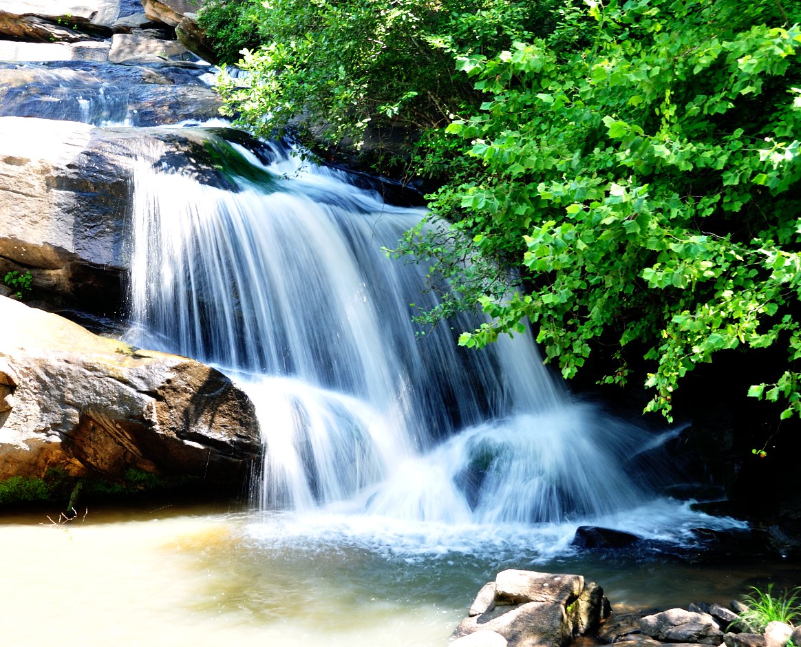
Ramsey Fall

No bend in sight
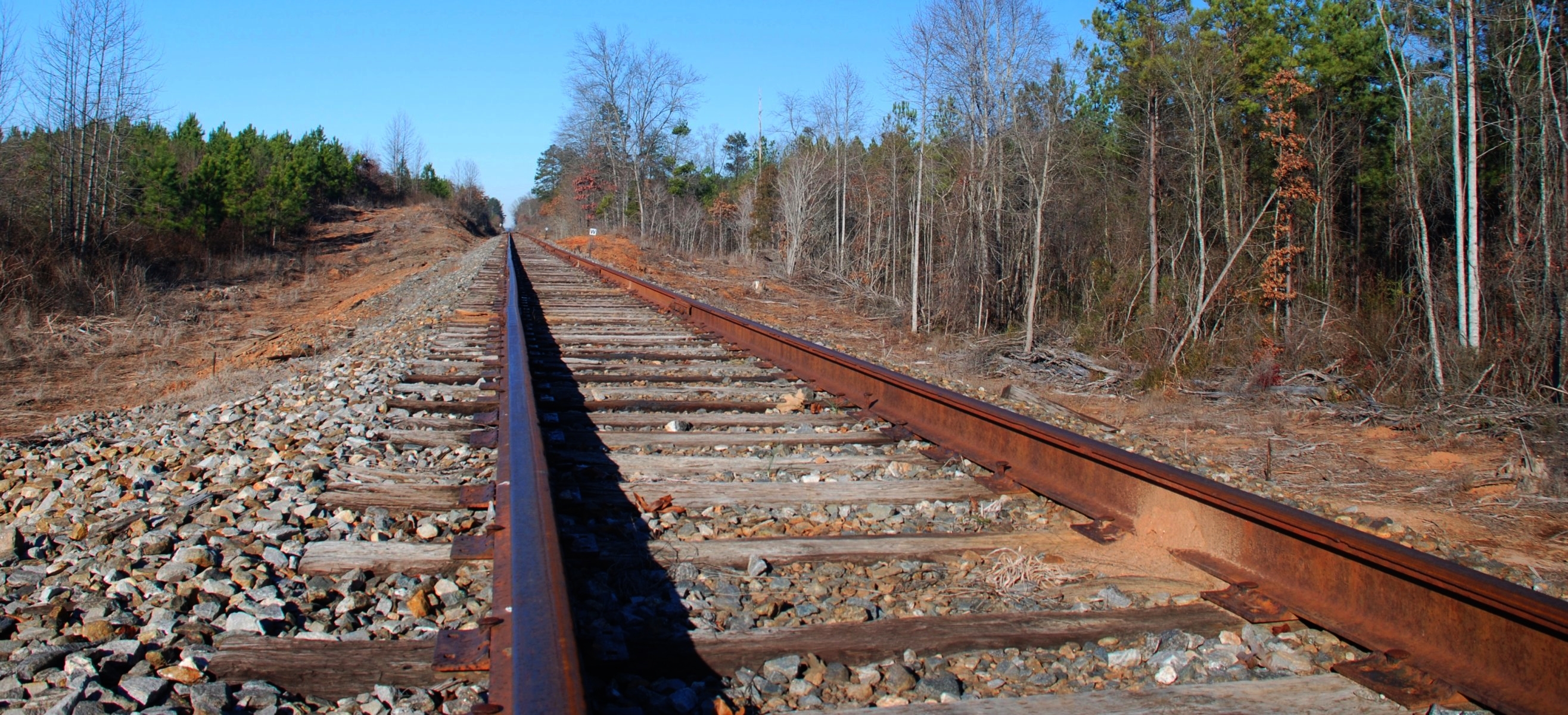
No bend in sight

Lee Falls-14.jpg

Enjoying beach & sand (Tugaloo State Park)
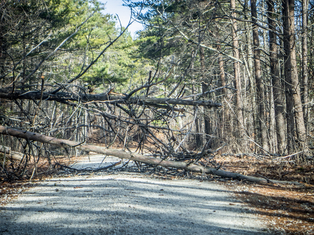
Blocked Road
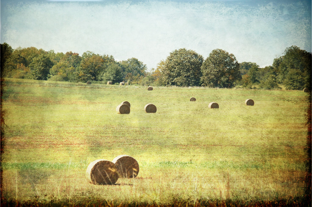
Bales of Hay Texture

When you've gotta go in the woods, you gotta go in the woods.
Tugalo site.
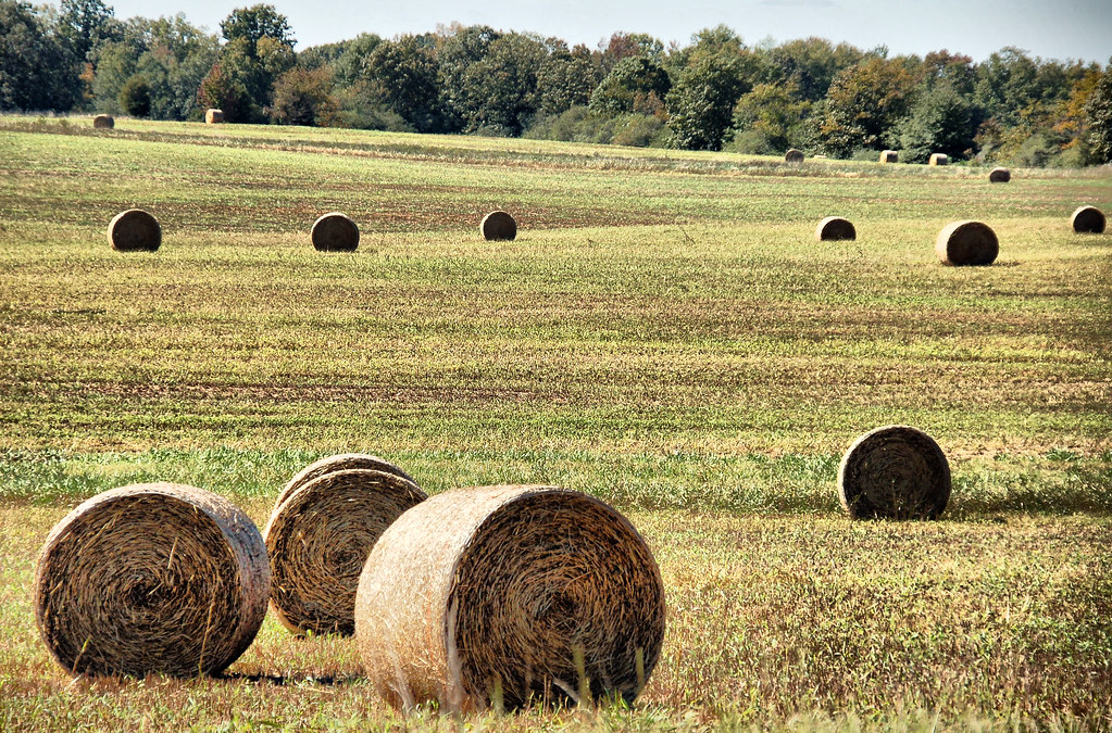
Bales of Hay 2 HDR
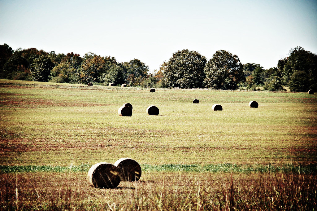
Bales of Hay Lomo
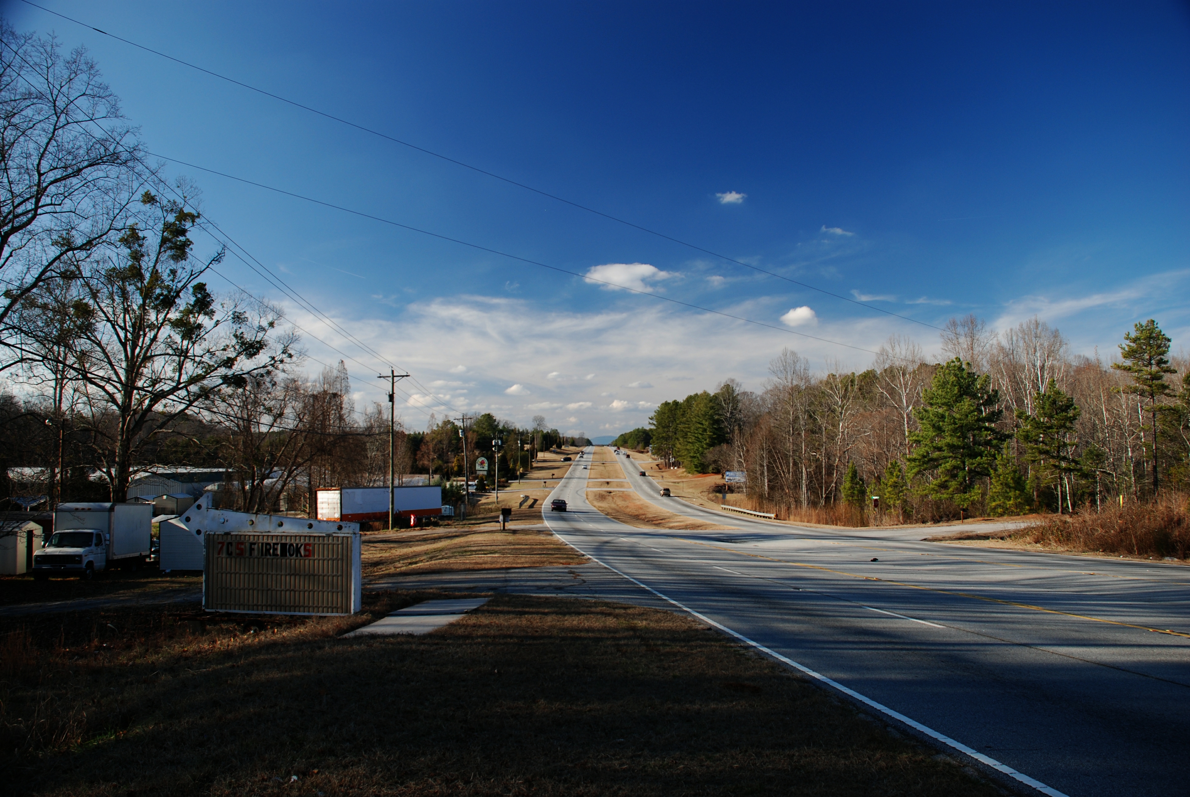
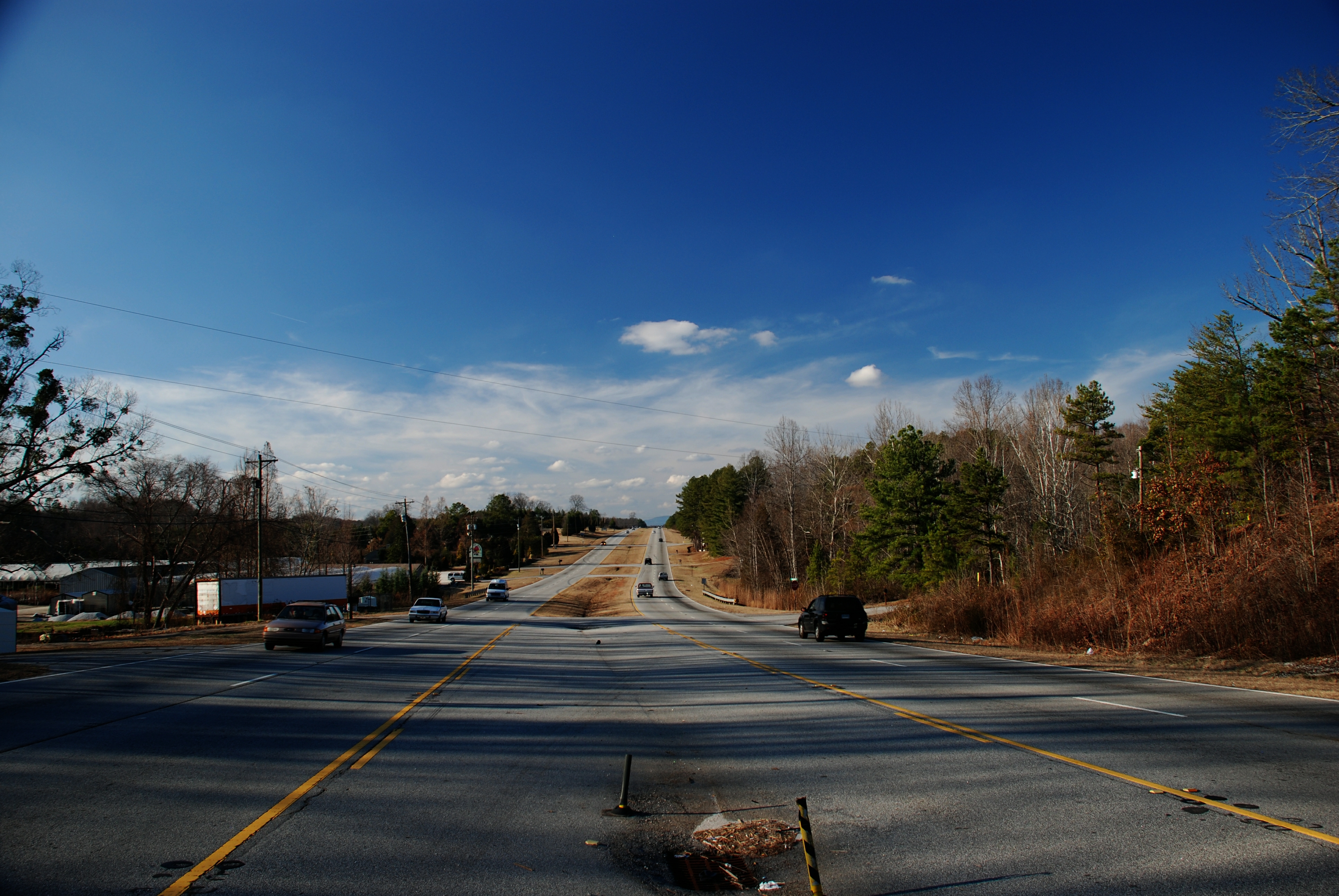
Highway 28 near Bountyland

Bales of Hay
Halfway Branch

Shore Life

Enjoying beach & sand (Tugaloo State Park)
Topographic Map of Circle W Dr, Westminster, SC, USA
Find elevation by address:

Places near Circle W Dr, Westminster, SC, USA:
524 Amanda Evon Dr
110 Pittman Cir
99 N Retreat Rd
Kingston Manor Drive
601 River Run Ct
902 Saxton Rd
304 Sourwood Dr
250 Madison Shores Dr
Toccoa Hwy, Westminster, SC, USA
116 Edgewater Trail S
110 Timber Ridge Dr
Currahee Club
Currahee Club Drive
357 Hillshore Rd
82 Clairmont Point
97 Old Oak Valley Rd
456 Lake Pl Dr
2132 Seven Forks Rd
5877 Gumlog Rd
11 State Rd S-37-138
Recent Searches:
- Elevation of Snake Hill Rd, North Scituate, RI, USA
- Elevation of Lake Shore Dr, Warwick, RI, USA
- Elevation of E Brightview Ave, Pittsburgh, PA, USA
- Elevation of Cavendish Rd, Harringay Ladder, London N4 1RR, UK
- Elevation of 1 Zion Park Blvd, Springdale, UT, USA
- Elevation of Ganderbal
- Elevation map of Konkan Division, Maharashtra, India
- Elevation of Netaji Nagar, Hallow Pul, Kurla, Mumbai, Maharashtra, India
- Elevation of Uralsk, Kazakhstan
- Elevation of 45- Kahana Dr, Honokaa, HI, USA