Elevation of Westfield Avenue, Westfield Ave, Defiance, OH, USA
Location: United States > Ohio > Defiance County > Noble Township > Defiance >
Longitude: -84.369980
Latitude: 41.2933768
Elevation: 216m / 709feet
Barometric Pressure: 99KPa
Elevation Map:
Satellite Map:
Related Photos:
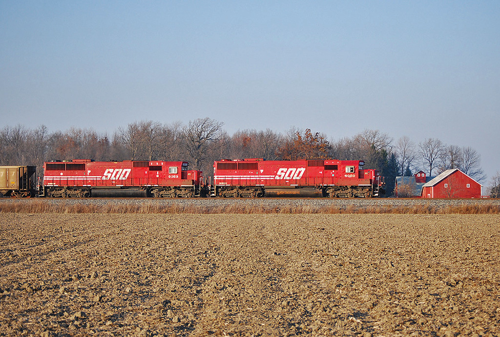
Soo Gone
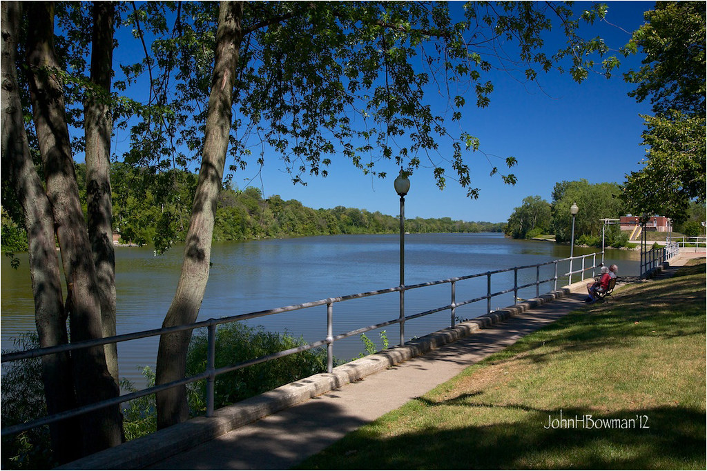
Behind the Library
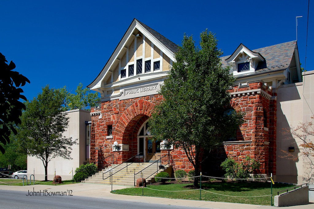
Public Library - Defiance
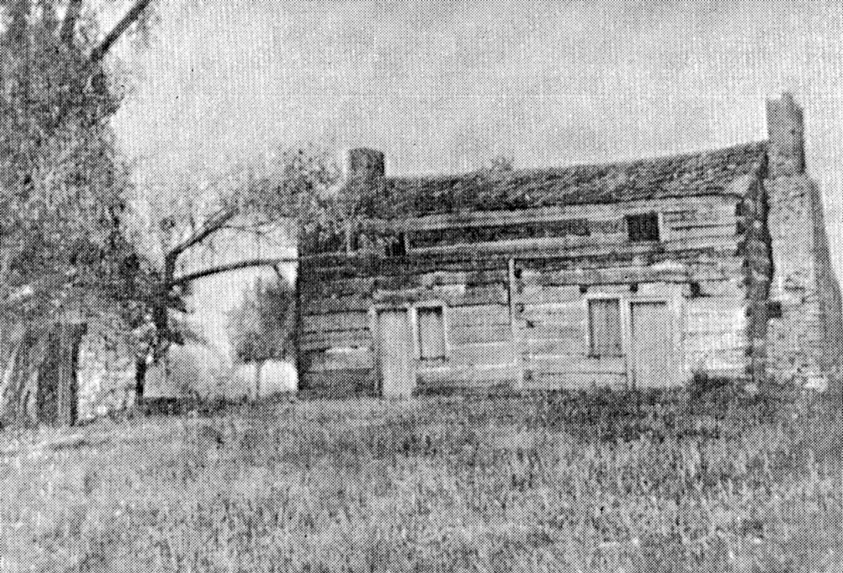
Shadrach Hudson Log House — Auglaize Township, Paulding County, Ohio

Day 238 - Walking Rags

View from the laundry

Q324 at Hire Cemetery

Defiance County Courthouse (Ohio)

Another view of the mechanical lift.

Rarely used "study carrel" monstrosity taken apart
05-03-2006 Defiance Ohio view

Coffee Shop Moved

Look...a view
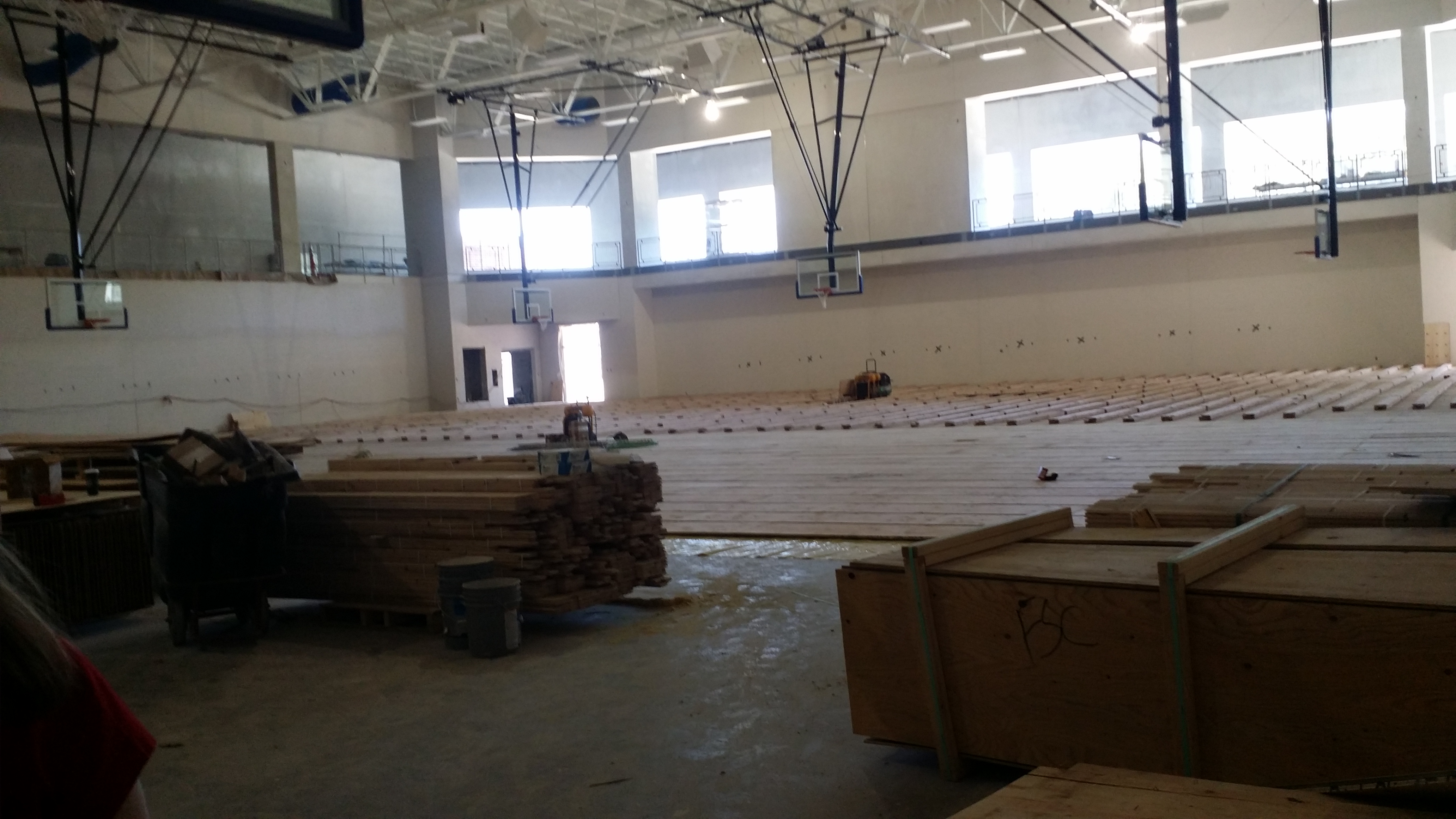
Another view of the Gym
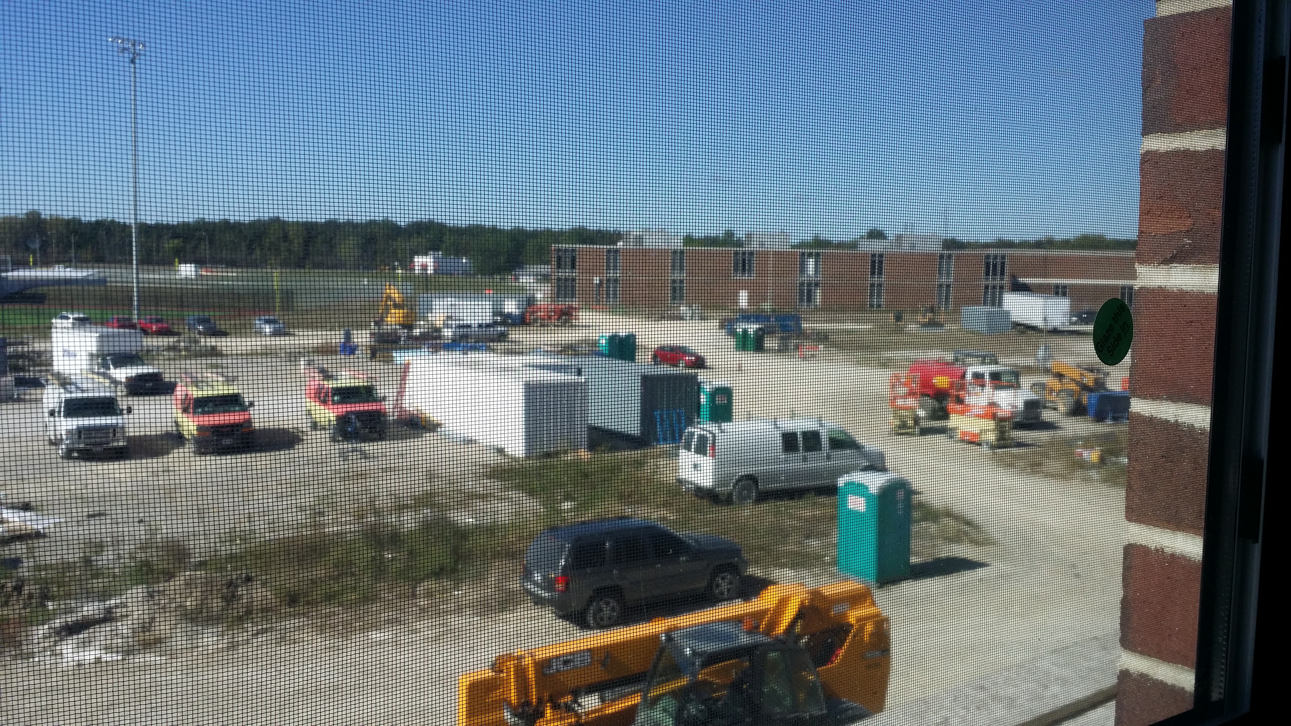
View of Current High School from 2nd floor classroom. Student drop off and parking lots in the future.
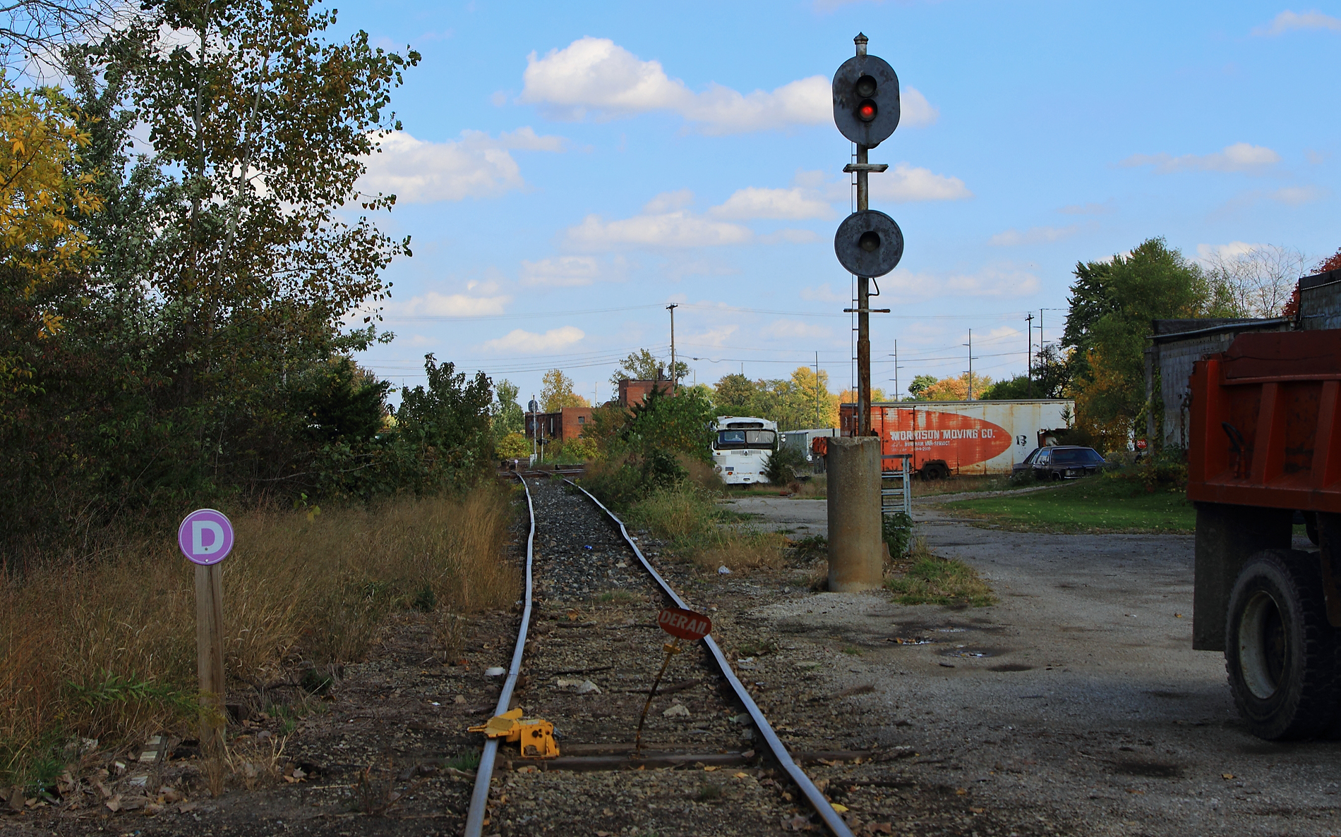
ND&W-CSX diamonds at Defiance

View from my front porch
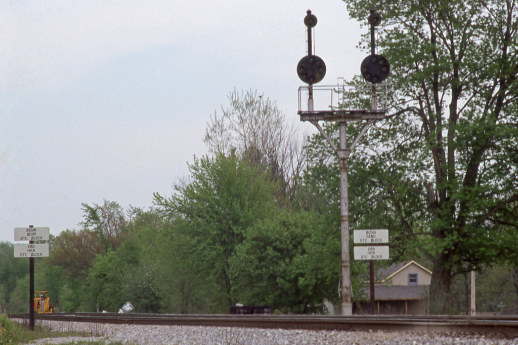
CSX_Sherwood-OH-EB-signals_EY1997-1

Excellent view
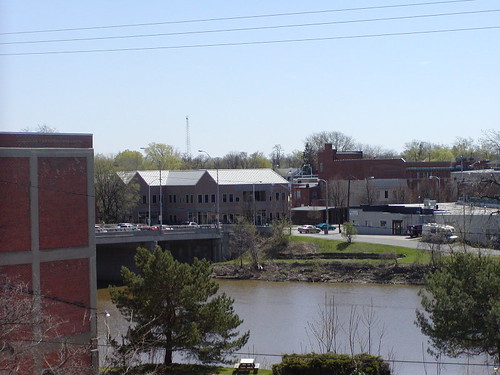
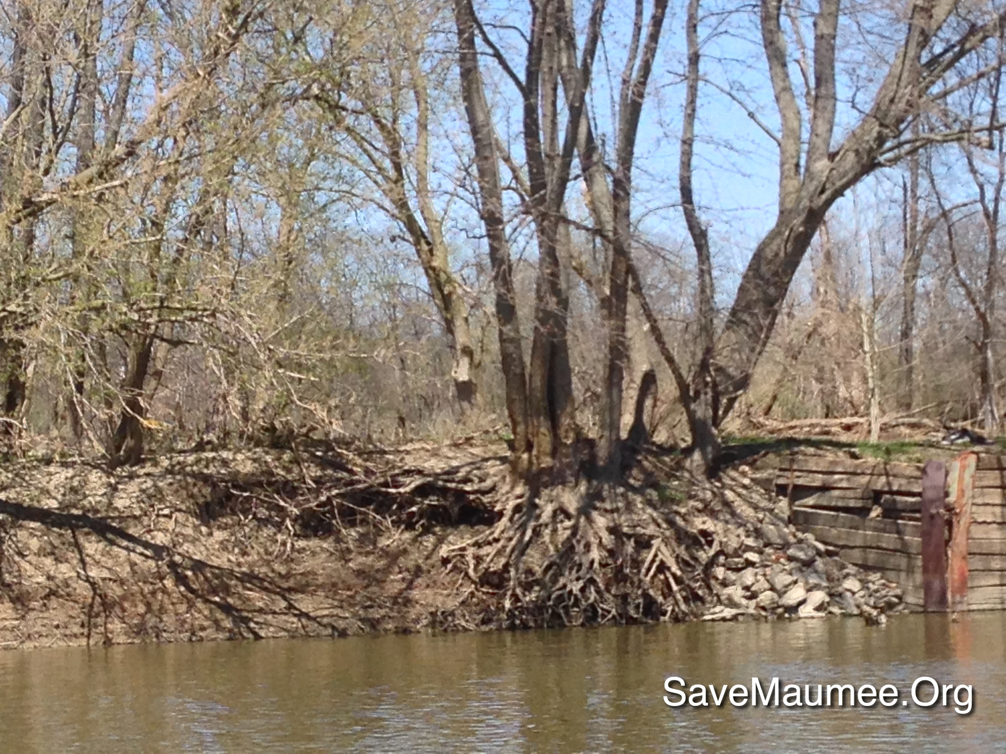
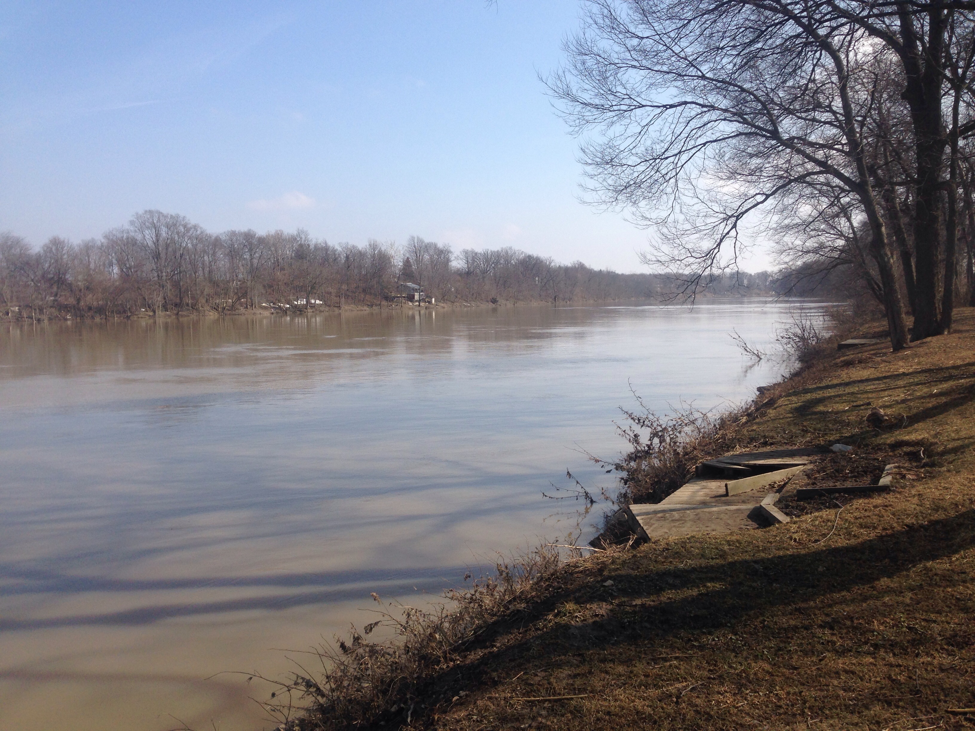
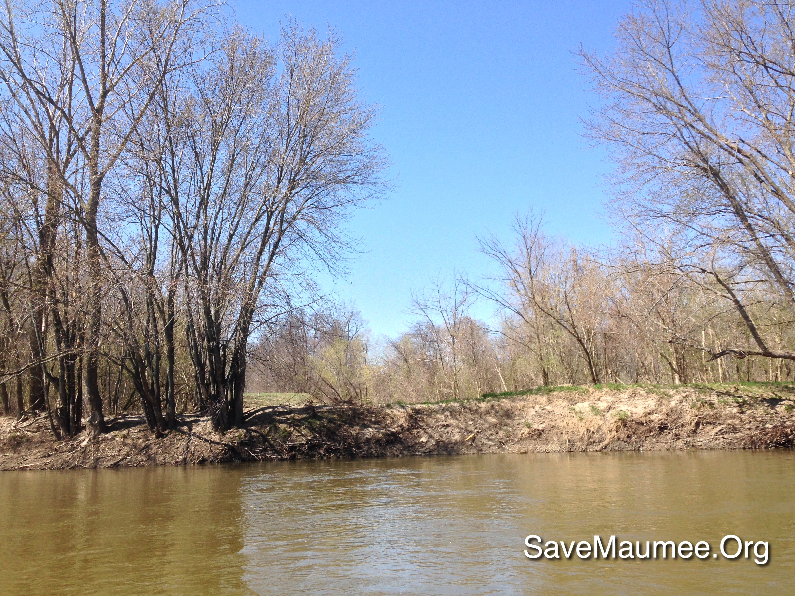
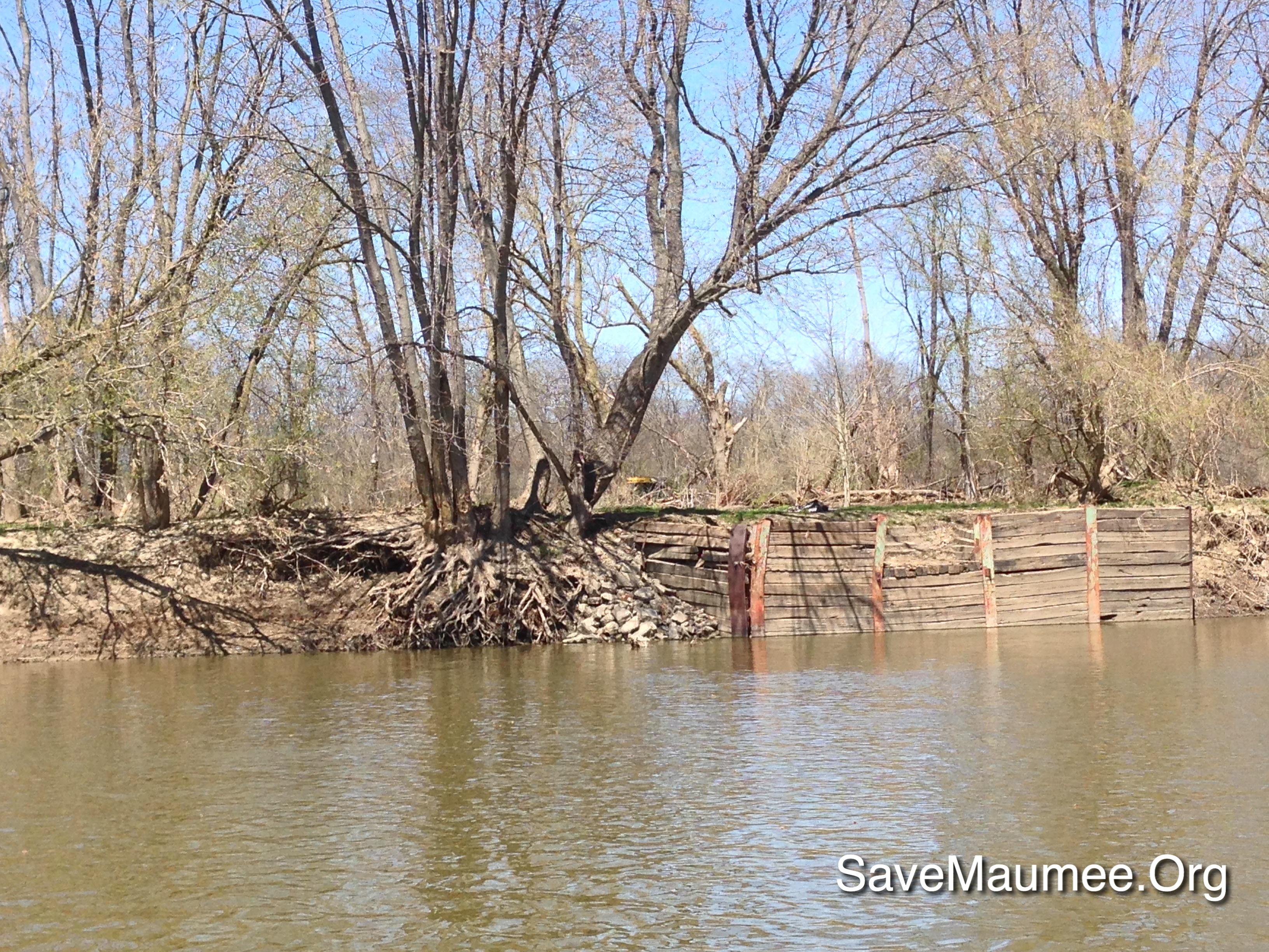
MAW on the Muddy Maumee
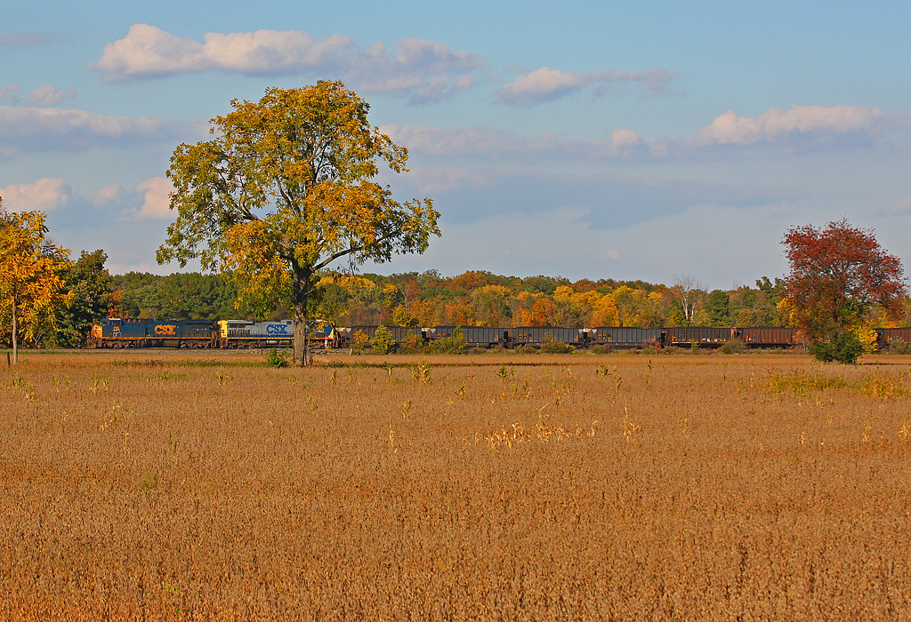
Fall Is Here

41° 17' 20.1" N 84° 21' 46.4" W0.0IMG_434613:54:04Apr 22, 2014
41° 16' 54.6" N 84° 23' 51.1" W0.0IMG_428013:09:22Apr 22, 2014
Map test

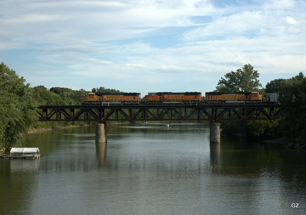
CSX Q368 - Standley, OH
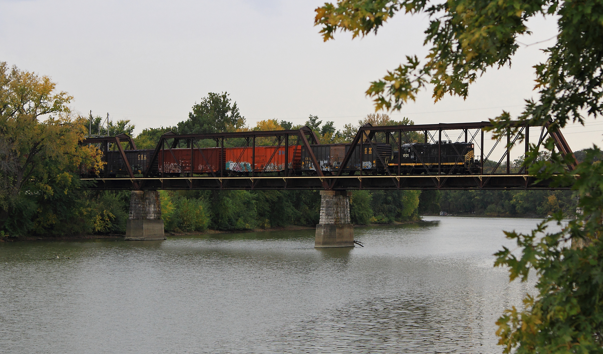
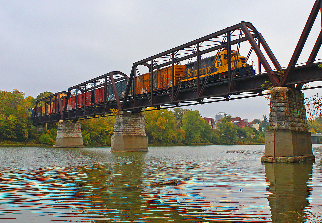
ND&W Maumee River Bridge
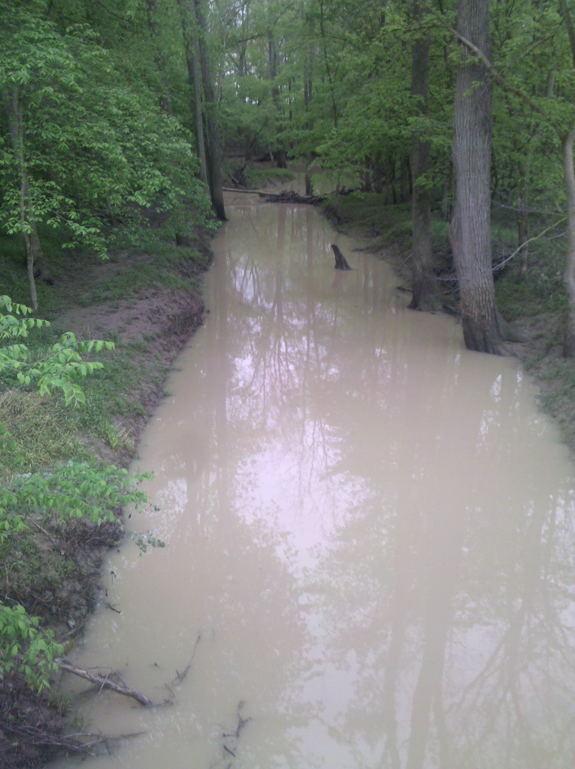
A muddy creek
Auglaize River - Defiance

41° 17' 11.1" N 84° 28' 16.8" W0.0IMG_422611:51:30Apr 22, 2014

41° 16' 54.7" N 84° 23' 51.0" W0.0IMG_428113:09:26Apr 22, 2014
41° 16' 52.4" N 84° 27' 52.3" W0.0IMG_423312:00:44Apr 22, 2014
41° 16' 50.9" N 84° 22' 44.8" W0.0IMG_431513:33:36Apr 22, 2014

41° 16' 23.4" N 84° 30' 34.8" W0.0IMG_419210:48:13Apr 22, 2014

Harlow at the zoo
41° 16' 42.2" N 84° 30' 5.7" W0.0IMG_420010:57:37Apr 22, 2014
41° 16' 56.4" N 84° 27' 20.1" W0.0IMG_424312:10:46Apr 22, 2014
41° 16' 55.0" N 84° 23' 50.9" W0.0IMG_428213:09:31Apr 22, 2014

Harlow at the zoo

41° 16' 56.8" N 84° 27' 52.8" W0.0IMG_423211:59:08Apr 22, 2014
Topographic Map of Westfield Avenue, Westfield Ave, Defiance, OH, USA
Find elevation by address:

Places near Westfield Avenue, Westfield Ave, Defiance, OH, USA:
Defiance
Independence Dam State Park
Richland Township
Jewell Rd, Defiance, OH, USA
10567 Stevens Rd
N-084
Florida
W High St, Napoleon, OH, USA
Ridgeville Corners
Monroe Township
24405 County Rd W
OH-, Continental, OH, USA
Flatrock Township
Rd B-18-2, Continental, OH, USA
Co Rd B, New Bavaria, OH, USA
US-6, Napoleon, OH, USA
Continental
N Main St, Continental, OH, USA
Walnut St, New Bavaria, OH, USA
175 Wayne Park Dr
Recent Searches:
- Elevation of Martins Mill Ct, Eagle Rock, NC, USA
- Elevation of Kippen, Stirling FK8, UK
- Elevation of Sieveringer Straße, Sieveringer Str., Wien, Austria
- Elevation of Bratskaya Ulitsa, 24, Kurgan, Kurganskaya oblast', Russia
- Elevation of Paradisvegen, Biri, Norway
- Elevation of Crystal Cir, Birmingham, AL, USA
- Elevation of N Railroad Ave, West Palm Beach, FL, USA
- Elevation of 55 Cassick Valley Rd, Wellfleet, MA, USA
- Elevation of Ironwood Dr, Minden, NV, USA
- Elevation of 高尾山口駅, Takaomachi, Hachioji, Tokyo -, Japan