Elevation of Walnut St, New Bavaria, OH, USA
Location: United States > Ohio > Henry County >
Longitude: -84.168425
Latitude: 41.203537
Elevation: 224m / 735feet
Barometric Pressure: 99KPa
Elevation Map:
Satellite Map:
Related Photos:
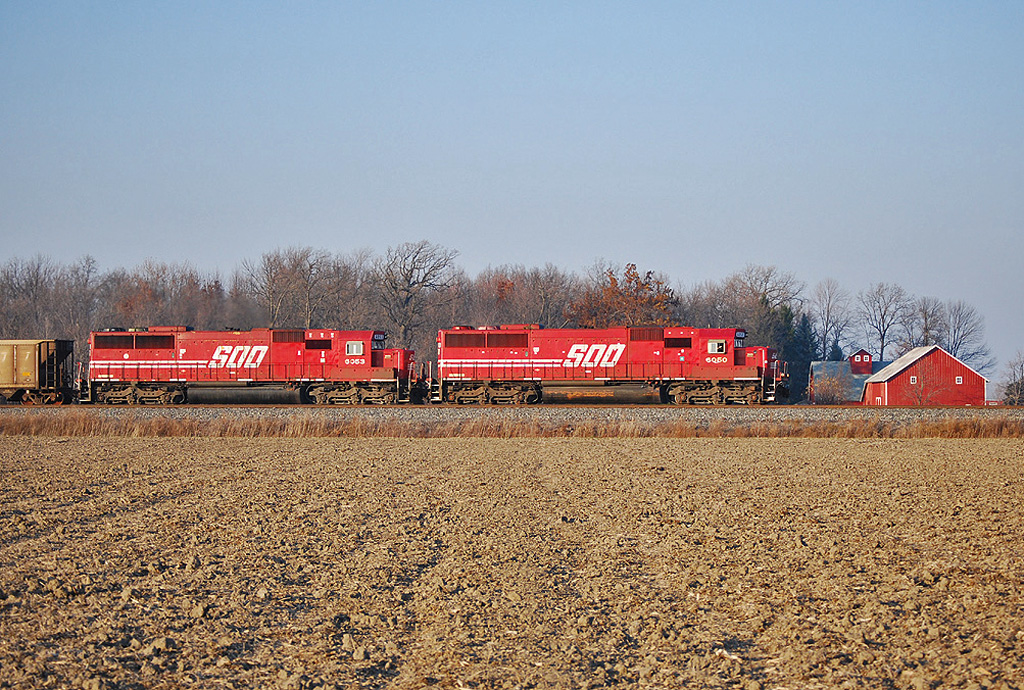
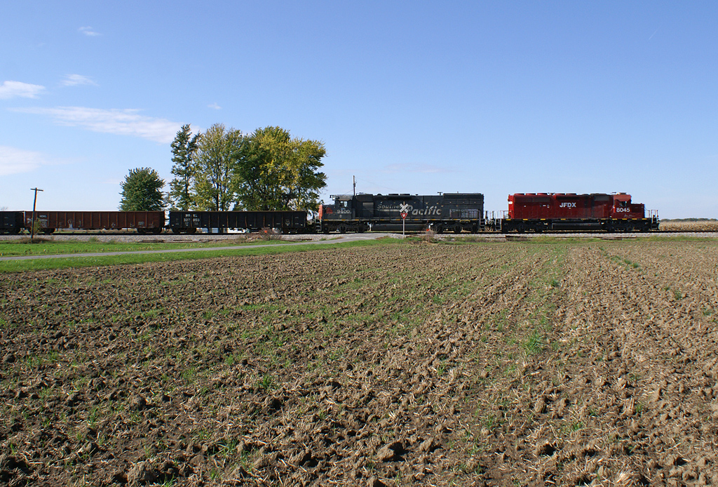
Soo Gone
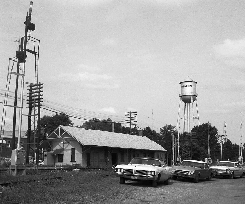
N&W Depot, Continental, Ohio
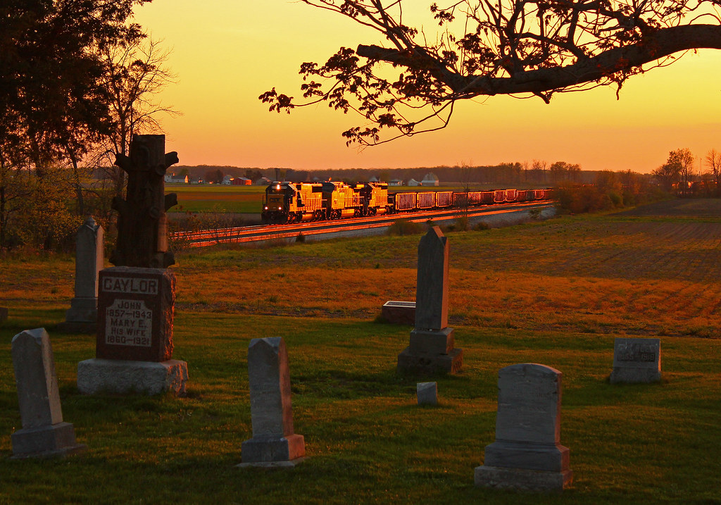
Q324 at Hire Cemetery
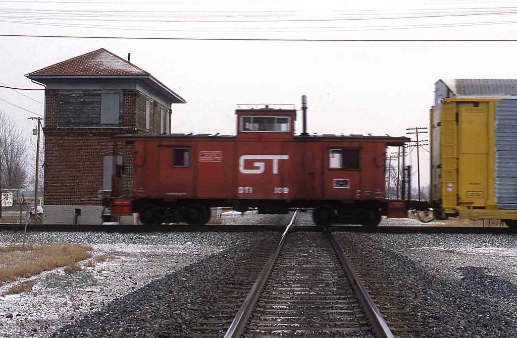
DT&I Caboose Hamler, Ohio

Hamler, Ohio Tower Operator
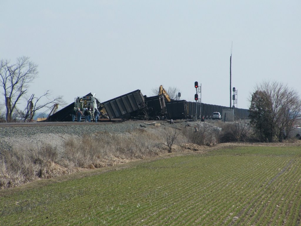
CSX_Hamler-OH_EastHamler_T909_Derailment_031709-7
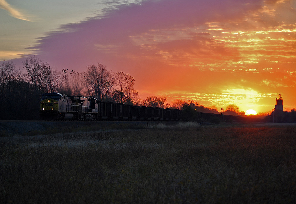
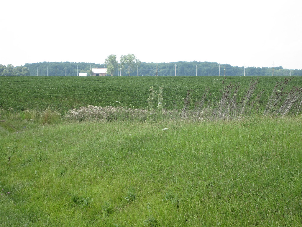
Waiting for Warmth
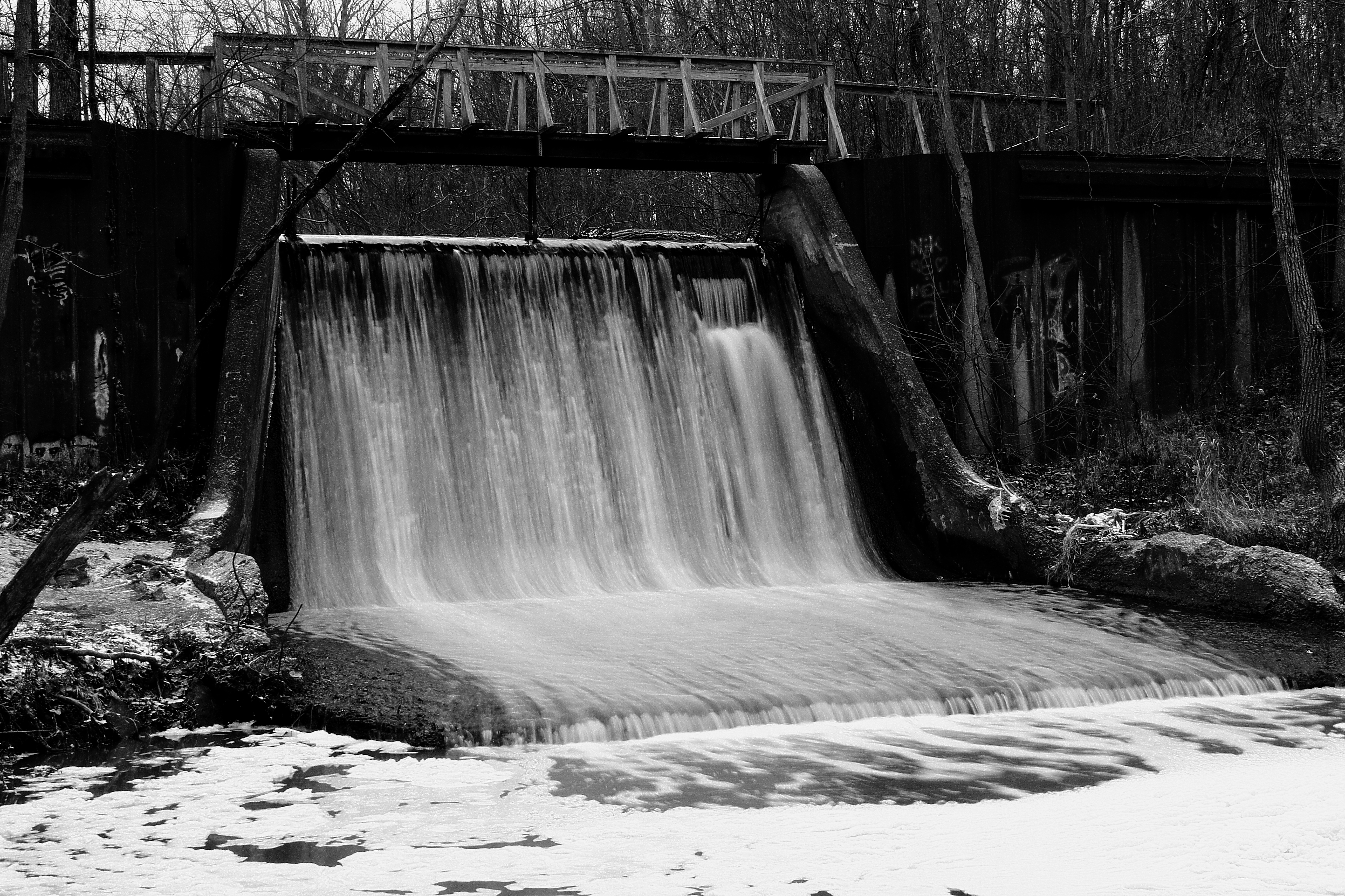
Canal Dam

I&O northbound - Prentiss, Ohio
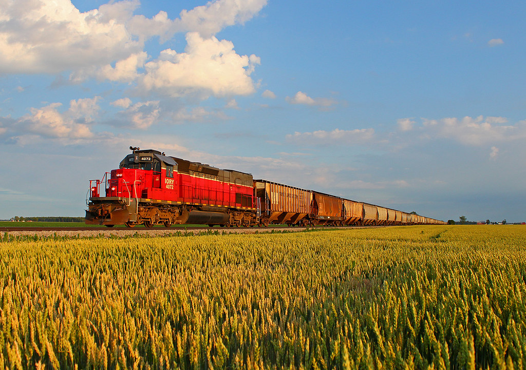
NS 044 - Miller City, Ohio Spencer Streamliners!
I&O LNLX- Prentiss, OH
Throwback Thursday - Third Edition

CSX Q368 - Standley, OH
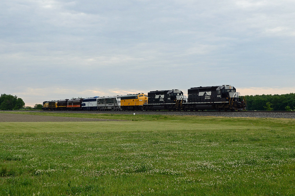
North West Ohio Excursion 18

NS 413 with LV 8104

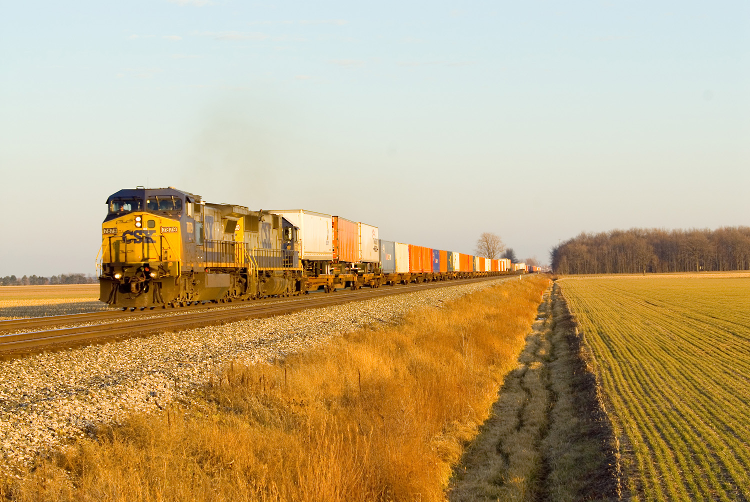
CSXT Q389, Hamler, OH
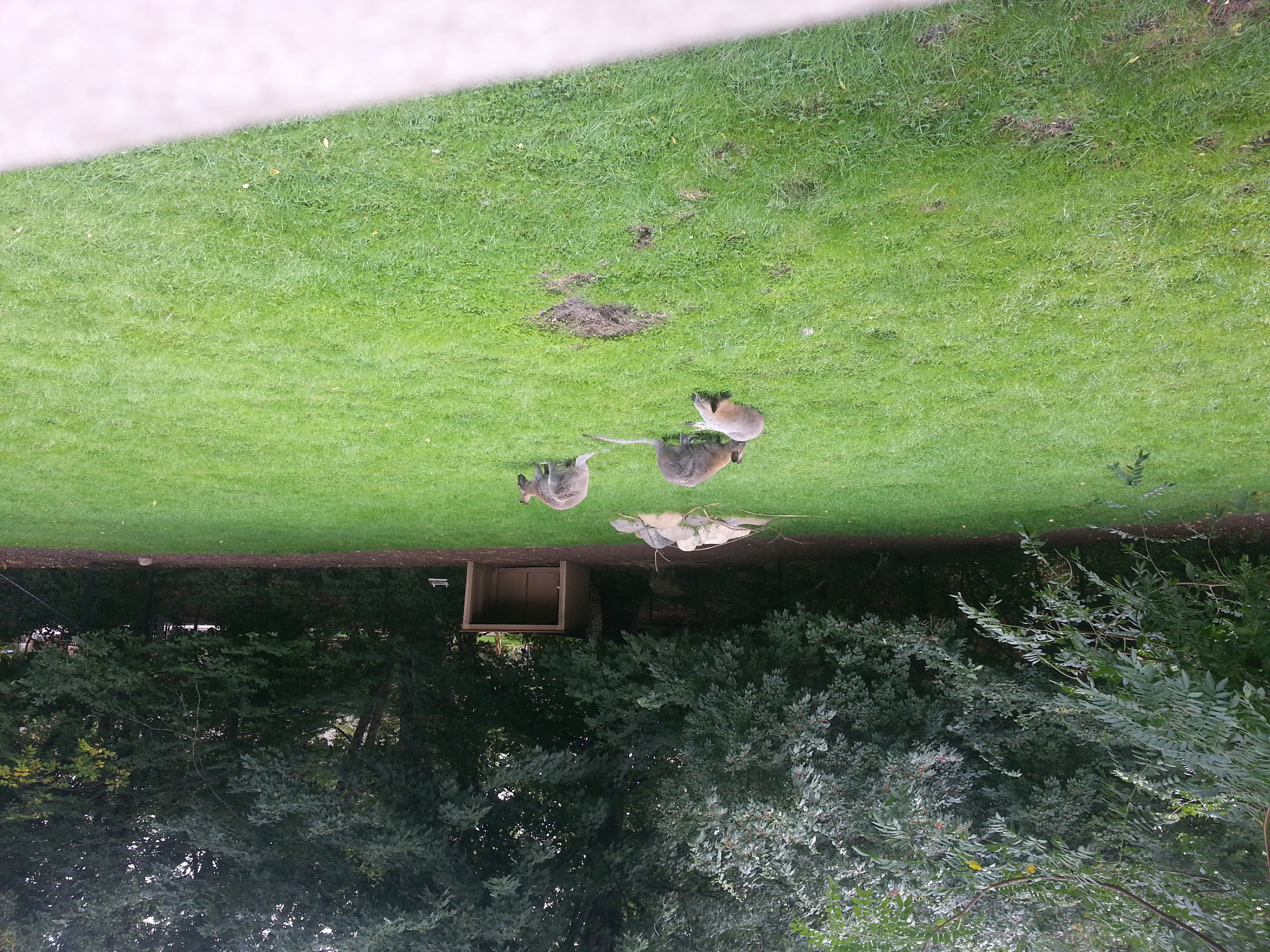
Harlow at the zoo
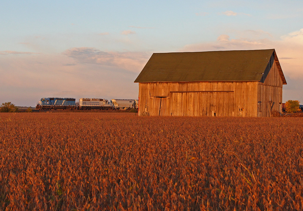
Leasers at the Holgate Barn
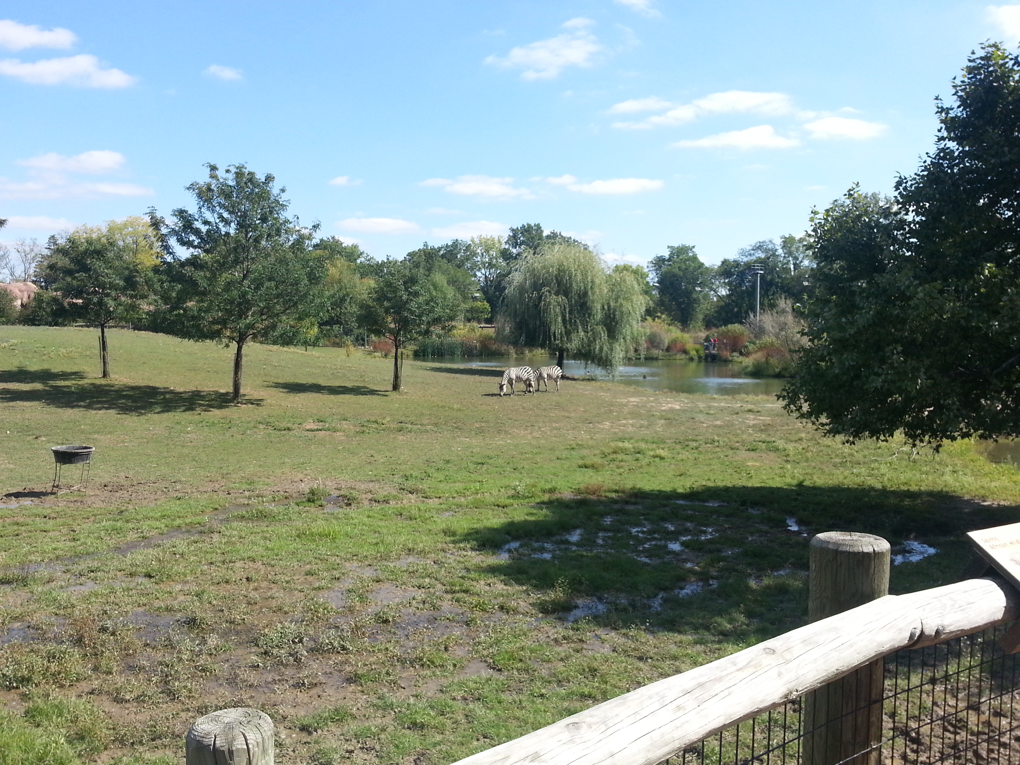
Harlow at the zoo

Harlow at the zoo

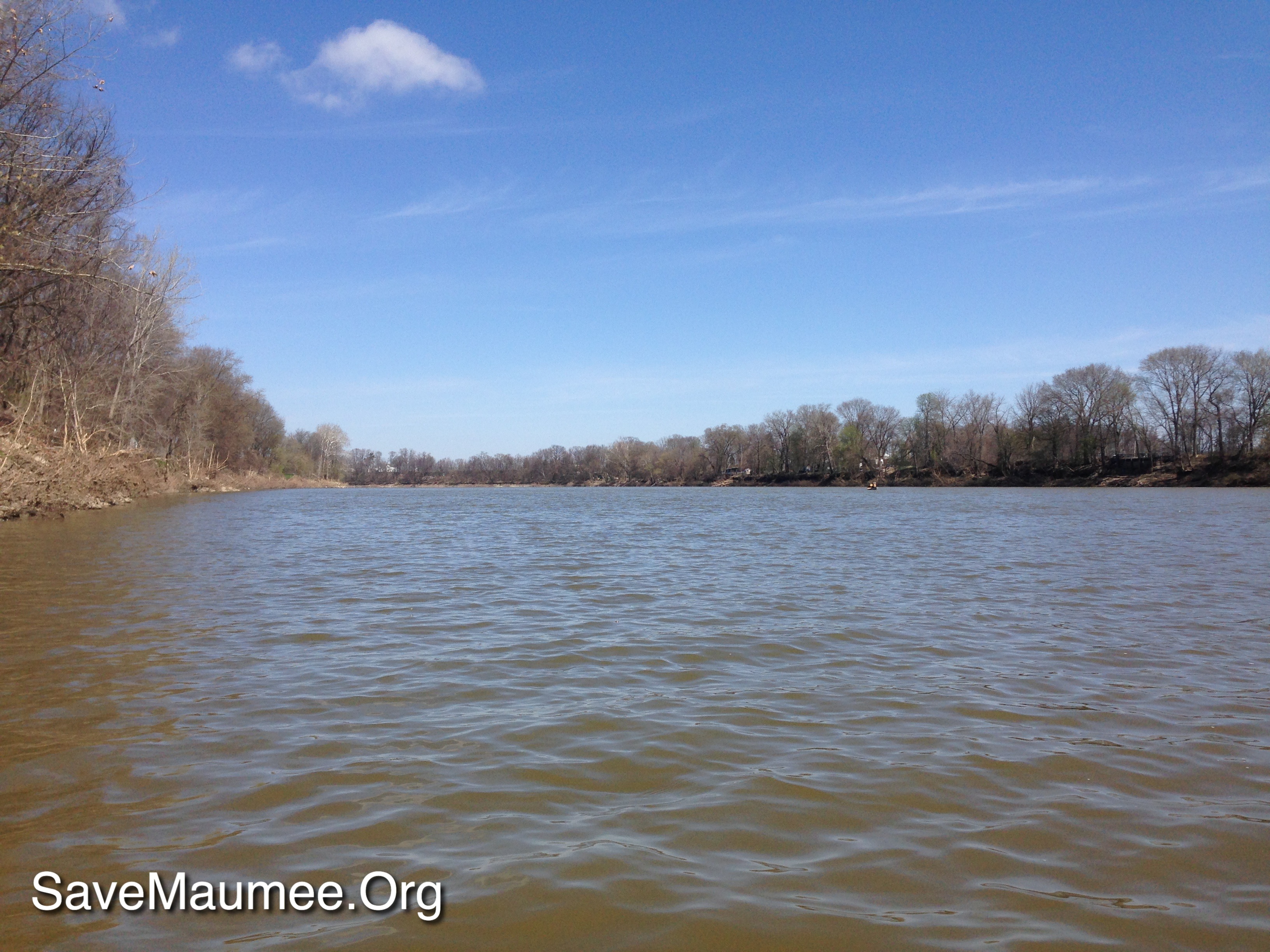
independence Dam on the Maumee River
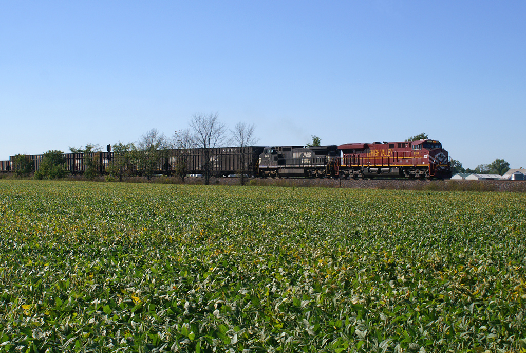
"Highball, Lehigh Valley!"
41° 20' 42.7" N 84° 8' 39.6" W0.0IMG_4385Apr 23, 201412:29:39
img_1999-1.jpg
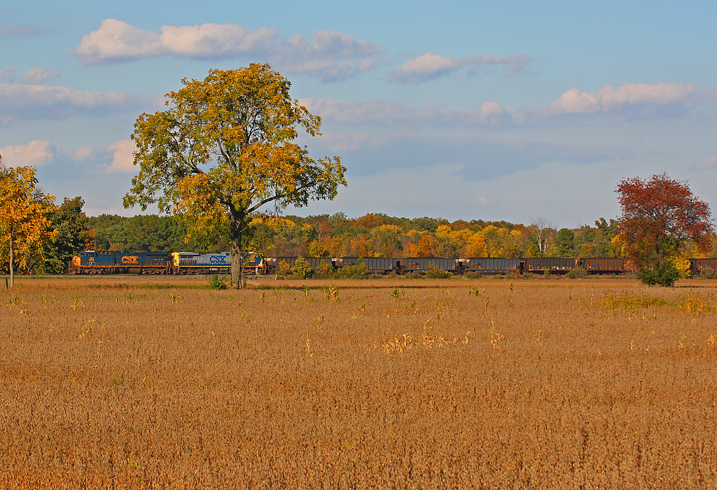
Fall Is Here

independence Dam on the Maumee River
Topographic Map of Walnut St, New Bavaria, OH, USA
Find elevation by address:

Places near Walnut St, New Bavaria, OH, USA:
Co Rd B, New Bavaria, OH, USA
Rd B-18-2, Continental, OH, USA
Palmer Township
9 Main St, Leipsic, OH, USA
Rd E16, Continental, OH, USA
Flatrock Township
Florida
W High St, Napoleon, OH, USA
10567 Stevens Rd
Marion Township
Belton St, Hamler, OH, USA
Hamler
Co Rd 10, Hamler, OH, USA
Elery
N Main St, Continental, OH, USA
Continental
Richland Township
Monroe Township
Putnam County
13785 Rd H-13
Recent Searches:
- Elevation of Elwyn Dr, Roanoke Rapids, NC, USA
- Elevation of Congressional Dr, Stevensville, MD, USA
- Elevation of Bellview Rd, McLean, VA, USA
- Elevation of Stage Island Rd, Chatham, MA, USA
- Elevation of Shibuya Scramble Crossing, 21 Udagawacho, Shibuya City, Tokyo -, Japan
- Elevation of Jadagoniai, Kaunas District Municipality, Lithuania
- Elevation of Pagonija rock, Kranto 7-oji g. 8"N, Kaunas, Lithuania
- Elevation of Co Rd 87, Jamestown, CO, USA
- Elevation of Tenjo, Cundinamarca, Colombia
- Elevation of Côte-des-Neiges, Montreal, QC H4A 3J6, Canada