Elevation of Western Ave, Thurman, IA, USA
Location: United States > Iowa > Fremont County > Scott > Thurman >
Longitude: -95.808249
Latitude: 40.824787
Elevation: 286m / 938feet
Barometric Pressure: 98KPa
Elevation Map:
Satellite Map:
Related Photos:

BNSF 9193 (rear view)
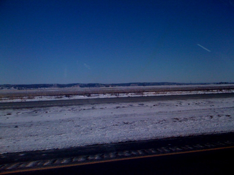
photo.jpg
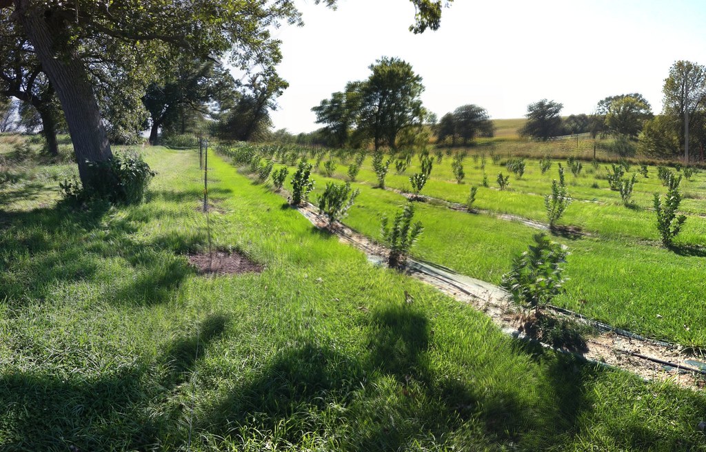
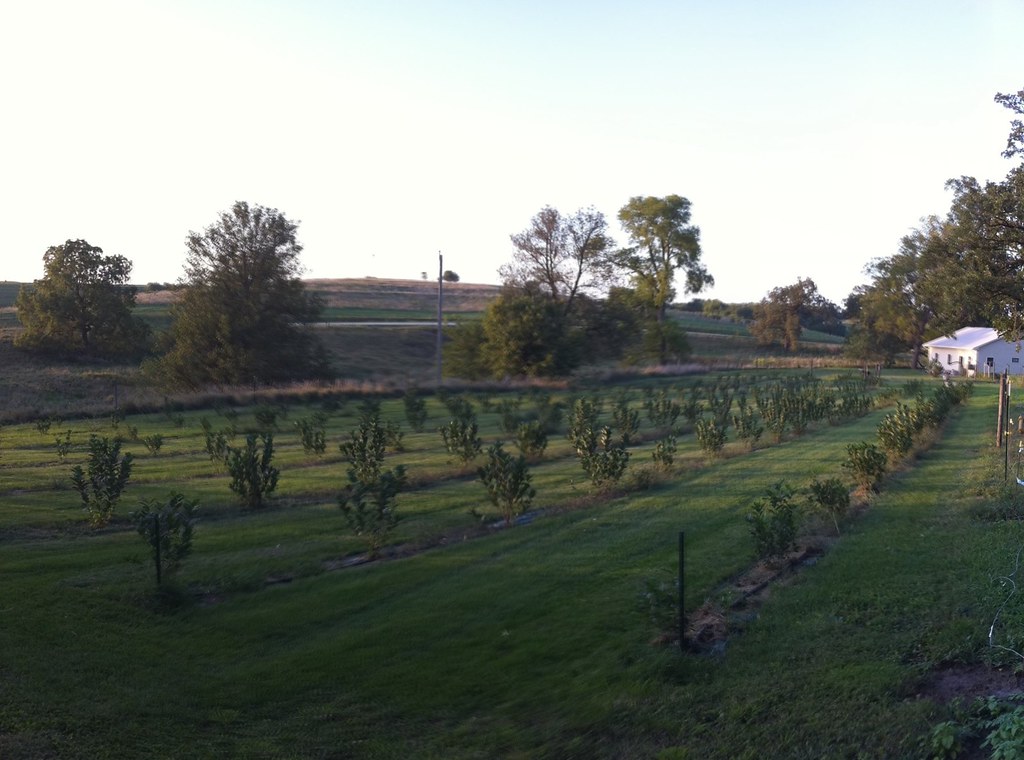
Aronia Berry Farm
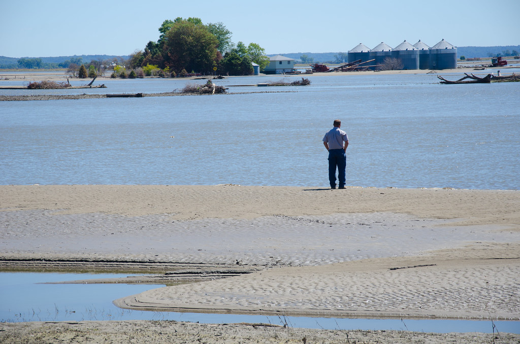
Missouri River Flooding
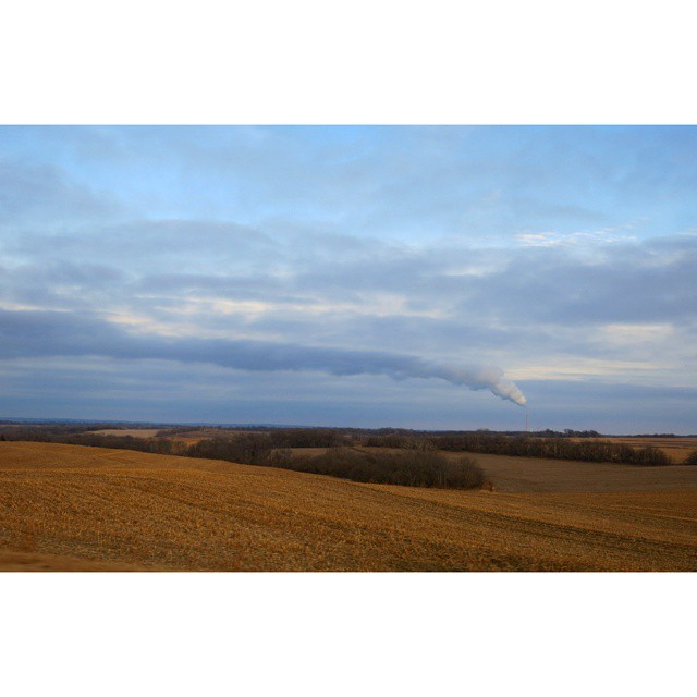
#OPPD Power Plant south of Omaha. How does this thing not change the weather around here?

Atomic looking cloud.2008
Field of Aronia Melanocarpa

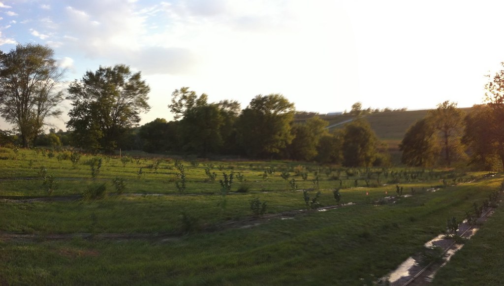
Sunset in Iowa
Aronia Farm
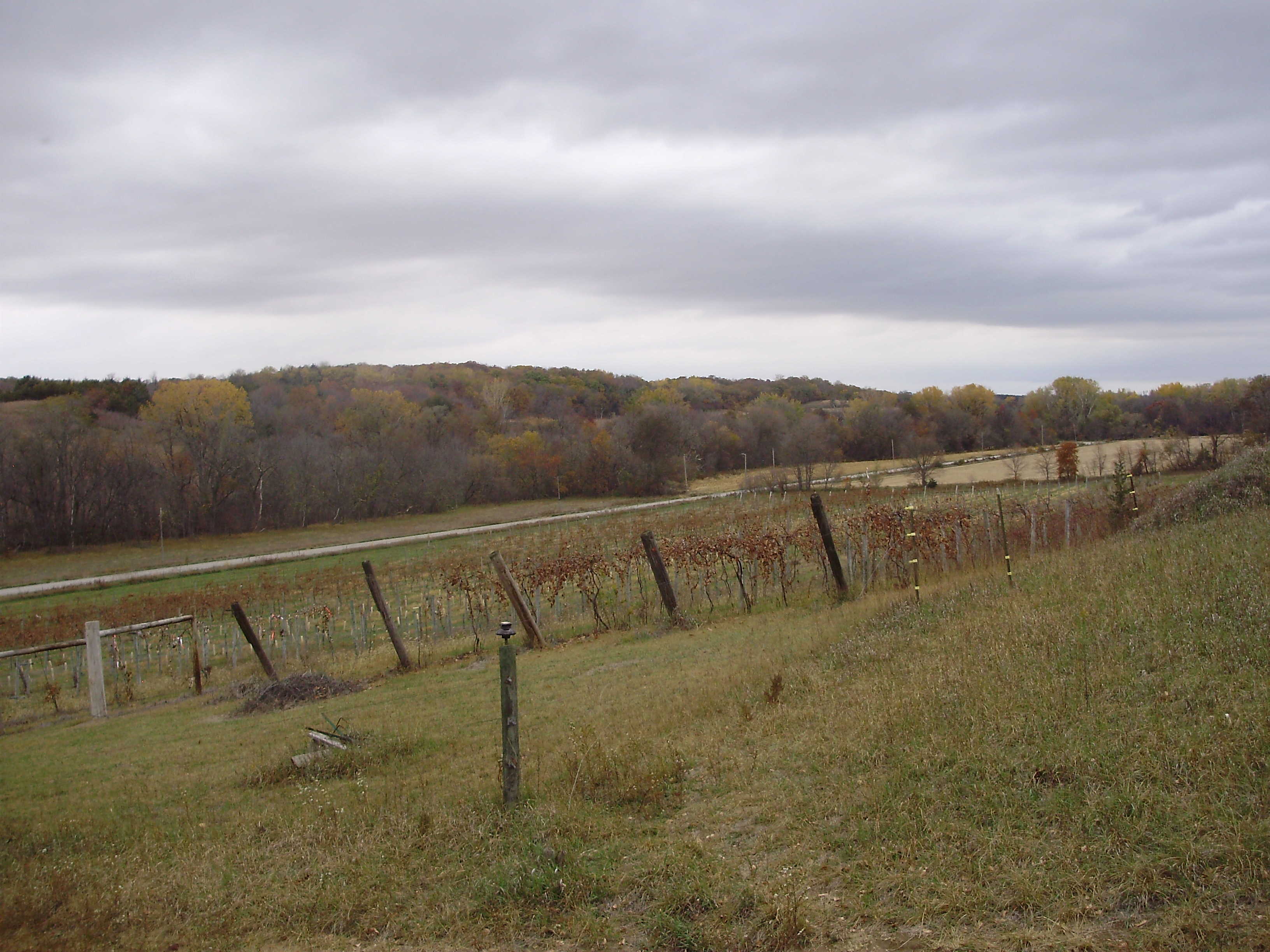
Sugar Clay Winery, Thurman, IA II
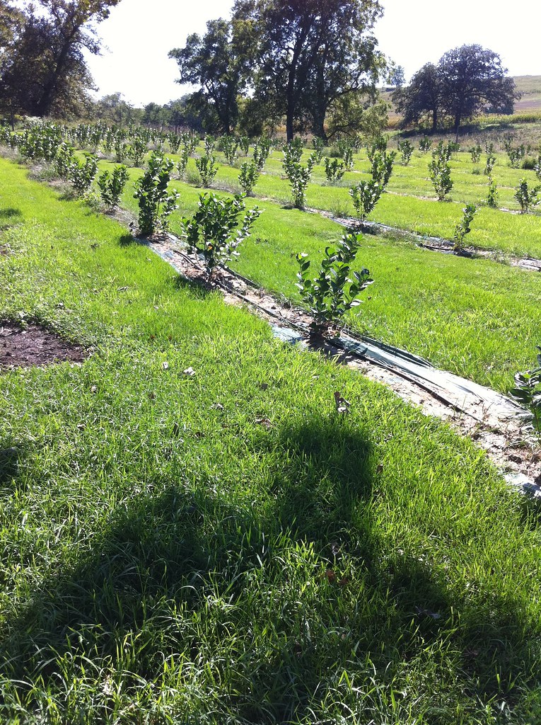
Rows of young aronia bushes

Prairie wildflowers
Topographic Map of Western Ave, Thurman, IA, USA
Find elevation by address:

Places near Western Ave, Thurman, IA, USA:
Scott
Thurman
Co Rd L31, Thurman, IA, USA
Union
916 Beaver Lake Blvd
105 Elm St
Tabor
Sherman Ave, Nehawka, NE, USA
2357 Warren Dr
Nehawka
Nehawka
Nehawka
Nehawka
Nehawka
Nehawka
Nehawka
Nehawka
Nehawka
Nehawka
Nehawka
Recent Searches:
- Elevation of Lampiasi St, Sarasota, FL, USA
- Elevation of Elwyn Dr, Roanoke Rapids, NC, USA
- Elevation of Congressional Dr, Stevensville, MD, USA
- Elevation of Bellview Rd, McLean, VA, USA
- Elevation of Stage Island Rd, Chatham, MA, USA
- Elevation of Shibuya Scramble Crossing, 21 Udagawacho, Shibuya City, Tokyo -, Japan
- Elevation of Jadagoniai, Kaunas District Municipality, Lithuania
- Elevation of Pagonija rock, Kranto 7-oji g. 8"N, Kaunas, Lithuania
- Elevation of Co Rd 87, Jamestown, CO, USA
- Elevation of Tenjo, Cundinamarca, Colombia