Elevation of Co Rd L31, Thurman, IA, USA
Location: United States > Iowa > Fremont County > Scott > Thurman >
Longitude: -95.794906
Latitude: 40.8856109
Elevation: 289m / 948feet
Barometric Pressure: 98KPa
Elevation Map:
Satellite Map:
Related Photos:
Nebraska - Missouri River

Prairie wildflowers

fairview cemetery
photo.jpg
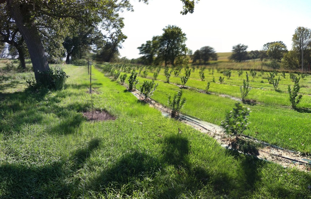
Aronia Berry Farm
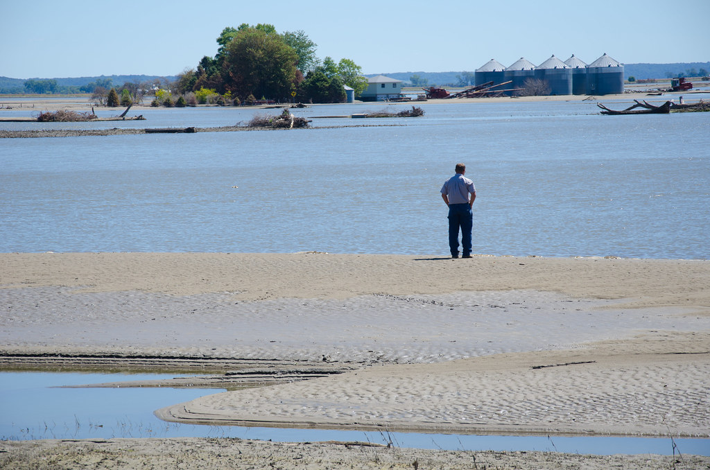
Missouri River Flooding
Field of Aronia Melanocarpa

Sunset in Iowa
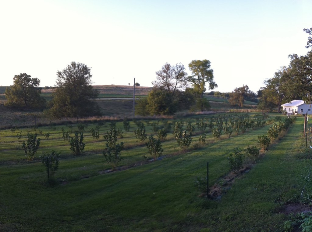
Aronia Farm
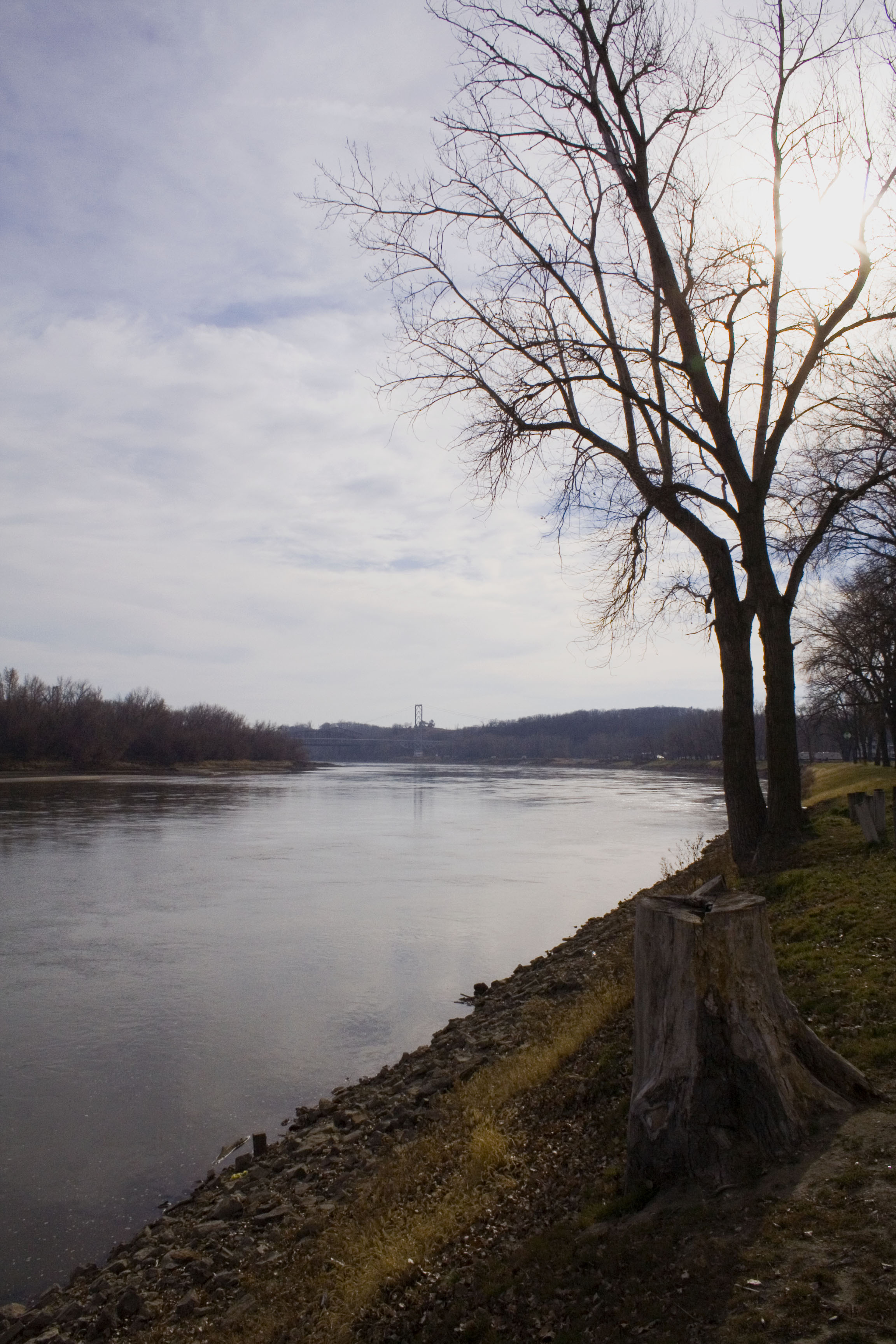
Missouri River at Plattsmouth
Sugar Clay Winery, Thurman, IA II
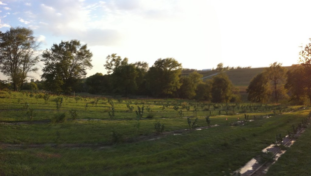
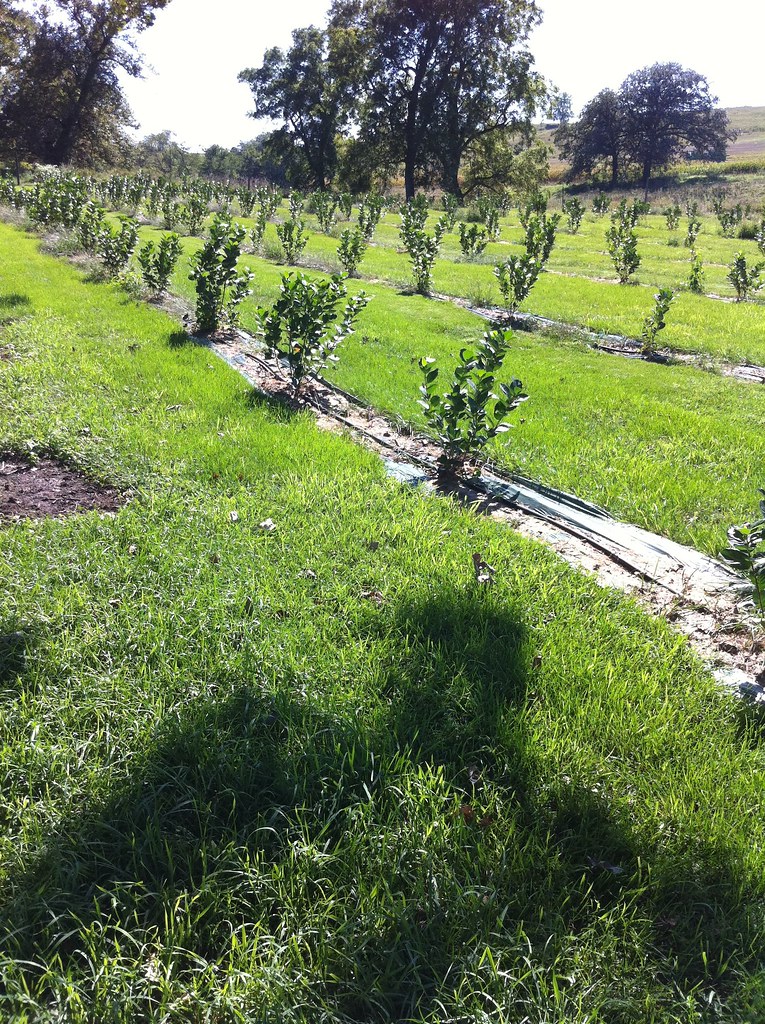
Rows of young aronia bushes
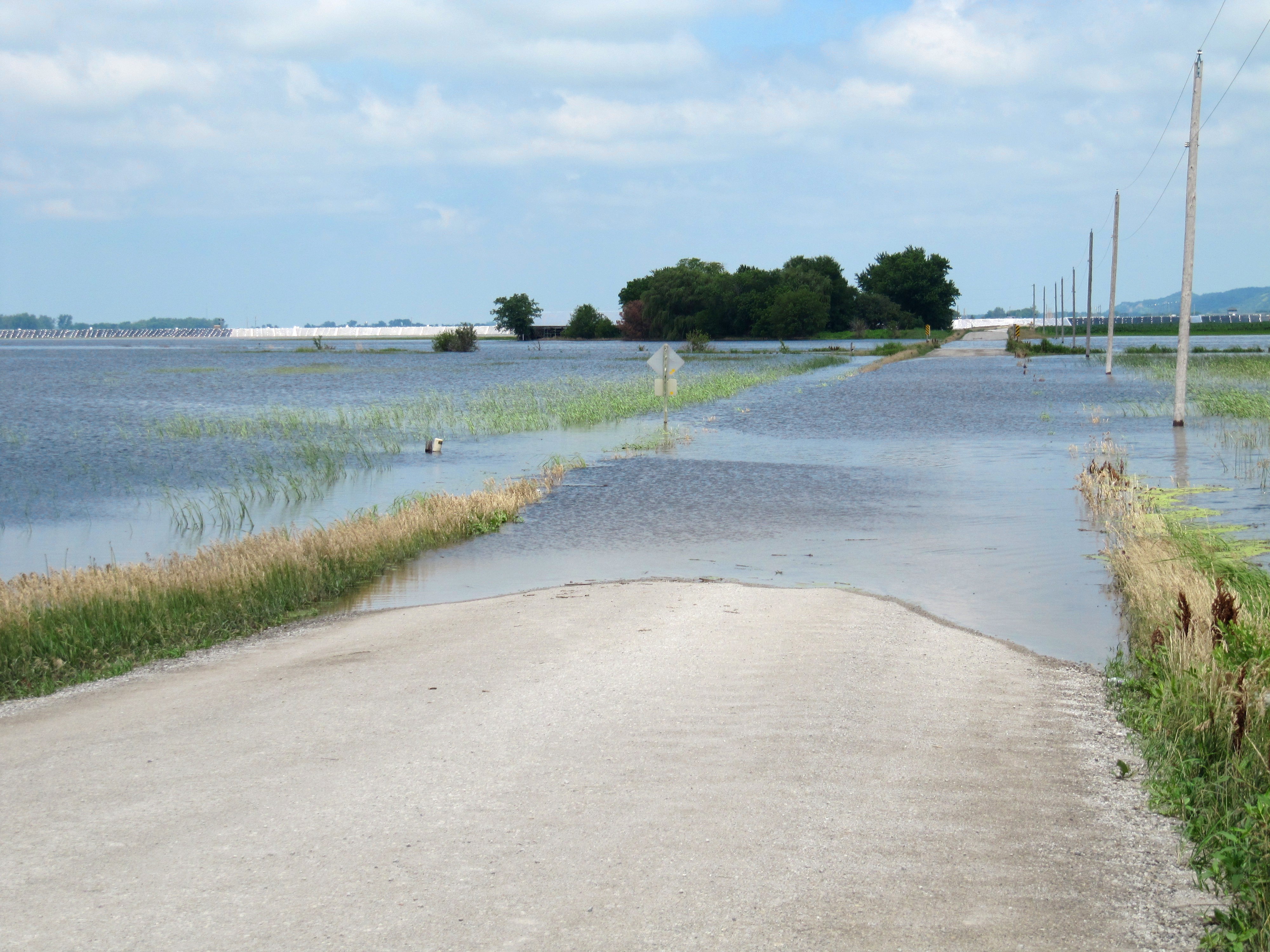
Road closed

Iowa Sunset 2

Iowa Sunset 1
Topographic Map of Co Rd L31, Thurman, IA, USA
Find elevation by address:

Places near Co Rd L31, Thurman, IA, USA:
Western Ave, Thurman, IA, USA
Scott
Thurman
916 Beaver Lake Blvd
105 Elm St
Tabor
Lincoln Ave, Pacific Junction, IA, USA
Pacific Junction
County Rd L35, Glenwood, IA, USA
20542 Jinkins Ave
2357 Warren Dr
Union
Plattsmouth
Plattville
Main St, Plattsmouth, NE, USA
Plattsmouth Main Street Office
418 N 4th St
Glenwood
811 Avenue E
Glenwood
Recent Searches:
- Elevation of Elwyn Dr, Roanoke Rapids, NC, USA
- Elevation of Congressional Dr, Stevensville, MD, USA
- Elevation of Bellview Rd, McLean, VA, USA
- Elevation of Stage Island Rd, Chatham, MA, USA
- Elevation of Shibuya Scramble Crossing, 21 Udagawacho, Shibuya City, Tokyo -, Japan
- Elevation of Jadagoniai, Kaunas District Municipality, Lithuania
- Elevation of Pagonija rock, Kranto 7-oji g. 8"N, Kaunas, Lithuania
- Elevation of Co Rd 87, Jamestown, CO, USA
- Elevation of Tenjo, Cundinamarca, Colombia
- Elevation of Côte-des-Neiges, Montreal, QC H4A 3J6, Canada