Elevation of West Texas Gas, 10 FM E, Orla, TX, USA
Location: United States > Texas > Reeves County > Orla >
Longitude: -103.90740
Latitude: 31.8261299
Elevation: 874m / 2867feet
Barometric Pressure: 91KPa
Elevation Map:
Satellite Map:
Related Photos:

The Nightfly
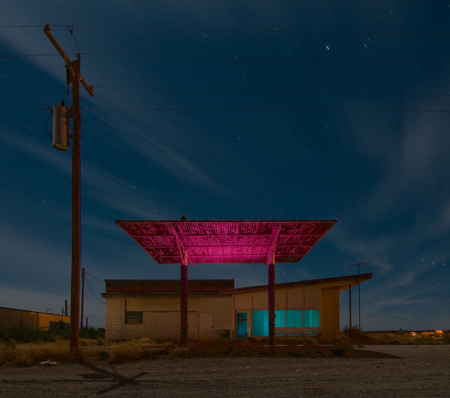
Orla Gas

Red Sign at Night....
Right-of-Way

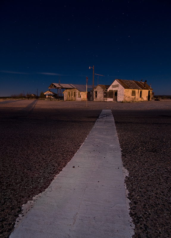
Orla, ghost town!

Orla Grocery
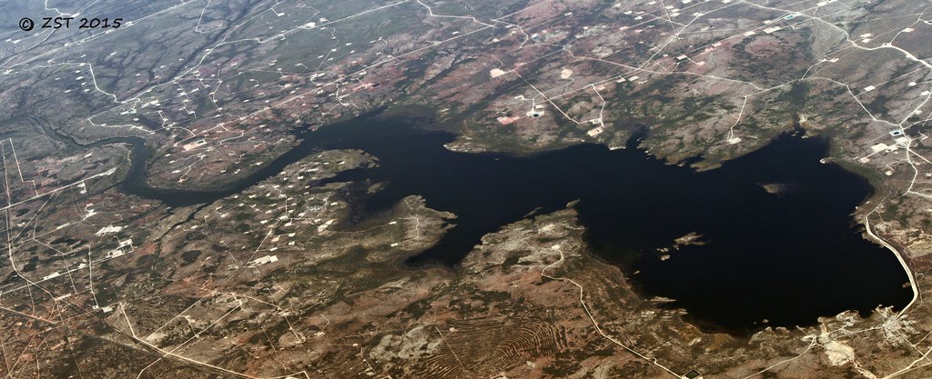
Red Bluff Reservoir

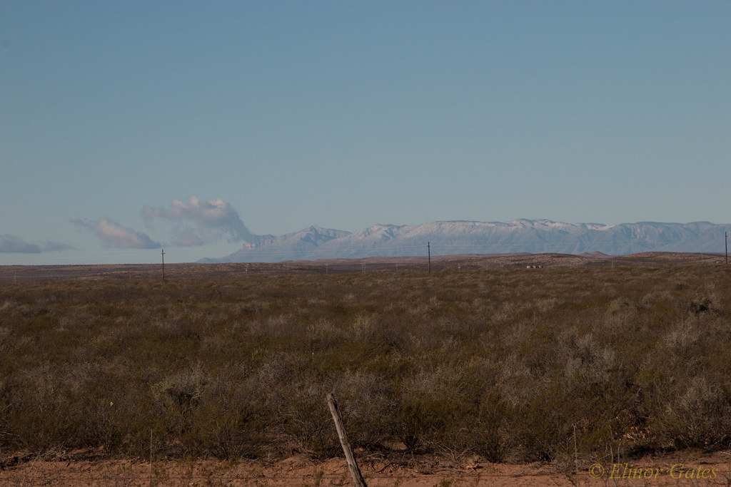
Fuel Fossil

Orla, Texas. Community on the Junction of Untravelled Roads
IMG_4646.jpg
Topographic Map of West Texas Gas, 10 FM E, Orla, TX, USA
Find elevation by address:

Places near West Texas Gas, 10 FM E, Orla, TX, USA:
Orla
Orla, TX, USA
Red Bluff Reservoir
Loving County
Unnamed Road
Bell St, Mentone, TX, USA
Mentone
McDonald Rd, Malaga, NM, USA
Reeves County
Harroun Rd, Loving, NM, USA
County Road 421
315 Co Rd 404
315 Co Rd 404
601 S Hackberry St
Stafford Blvd, Pecos, TX, USA
Pecos
S Cedar St, Pecos, TX, USA
County Road 132
Unnamed Road
Ranch Road 2355
Recent Searches:
- Elevation of Tenjo, Cundinamarca, Colombia
- Elevation of Côte-des-Neiges, Montreal, QC H4A 3J6, Canada
- Elevation of Bobcat Dr, Helena, MT, USA
- Elevation of Zu den Ihlowbergen, Althüttendorf, Germany
- Elevation of Badaber, Peshawar, Khyber Pakhtunkhwa, Pakistan
- Elevation of SE Heron Loop, Lincoln City, OR, USA
- Elevation of Slanický ostrov, 01 Námestovo, Slovakia
- Elevation of Spaceport America, Co Rd A, Truth or Consequences, NM, USA
- Elevation of Warwick, RI, USA
- Elevation of Fern Rd, Whitmore, CA, USA