Elevation map of Reeves County, TX, USA
Location: United States > Texas >
Longitude: -103.72891
Latitude: 31.4307975
Elevation: 878m / 2881feet
Barometric Pressure: 91KPa
Elevation Map:
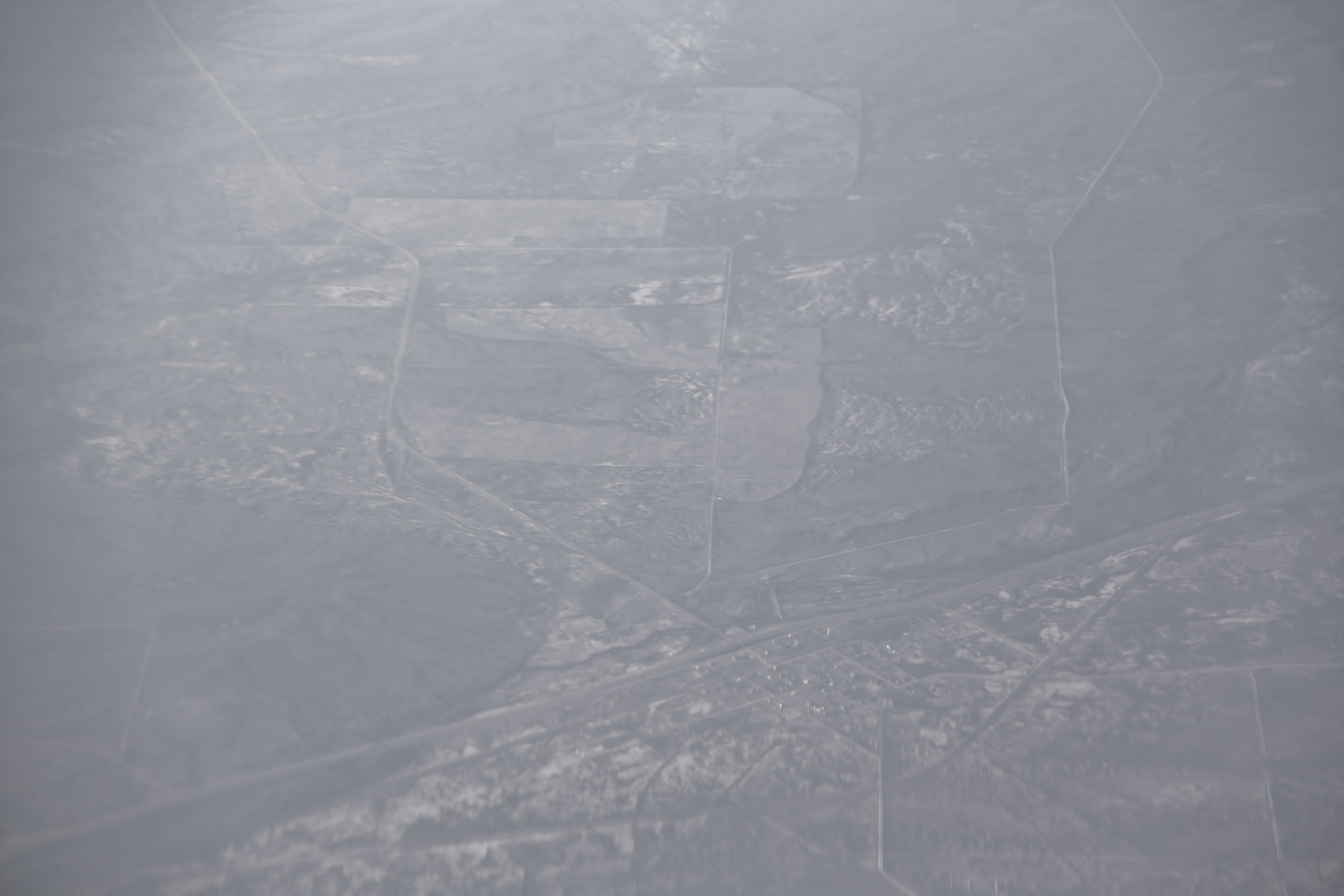
Satellite Map:
Related Photos:

Chata Ortega's Bar & Grill

Bar & Grill

Watching the World Go By

The Bank Job
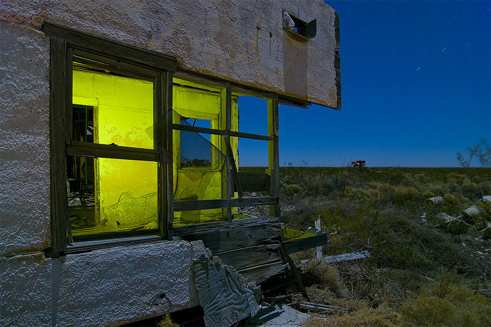
Ripped Apart

Chata's Facade
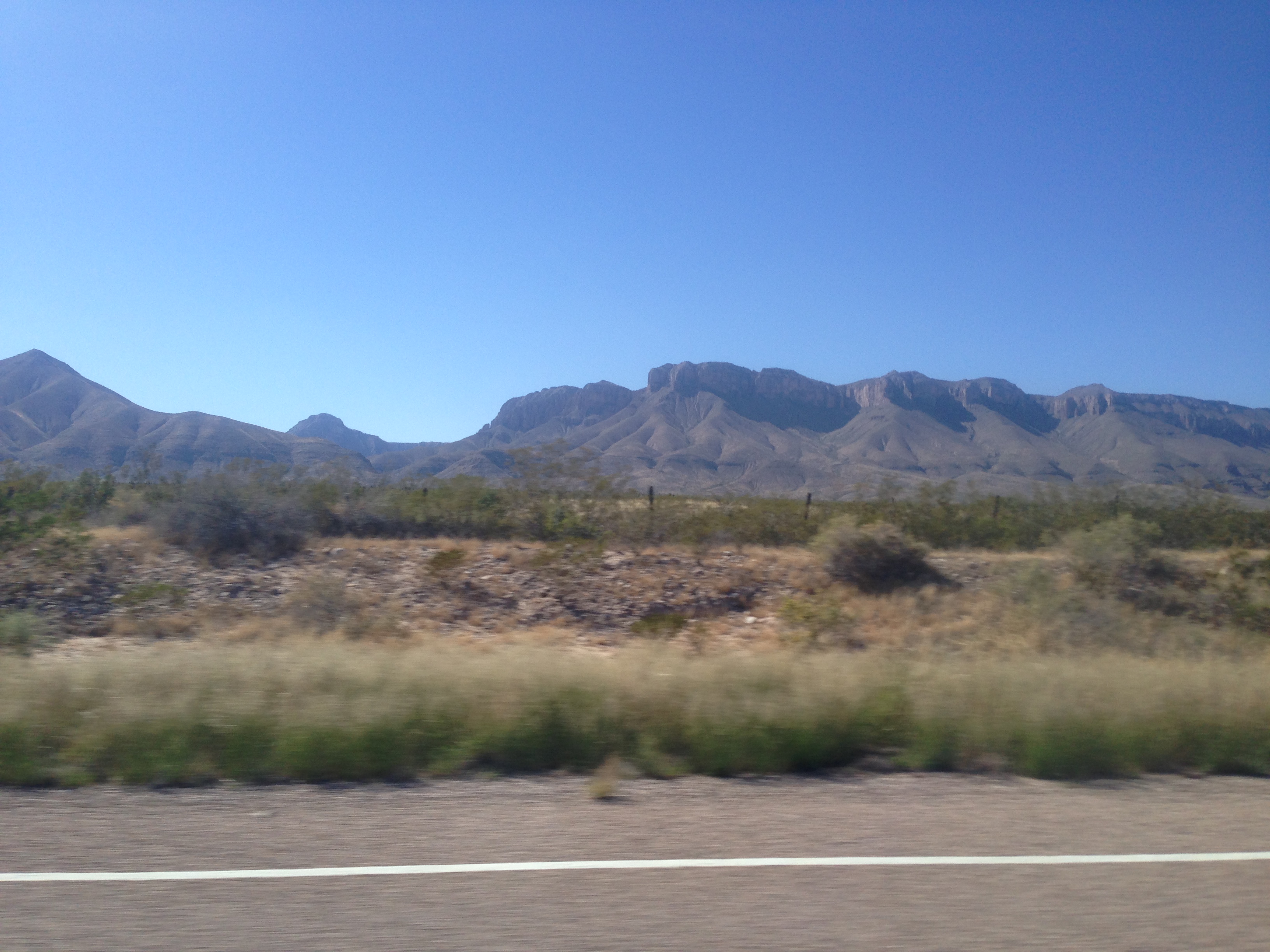
Day 22: Big Bend to Petrified Forest
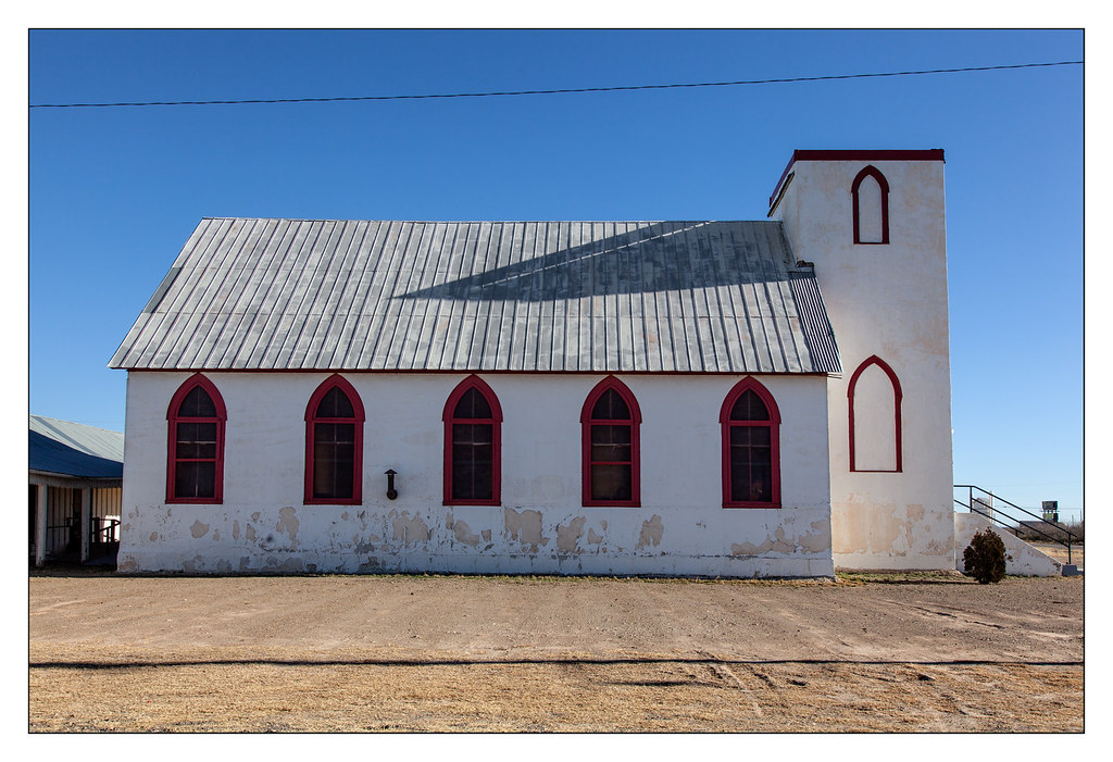
Church - Toyah, Tx.

House - Toyah, Tx.
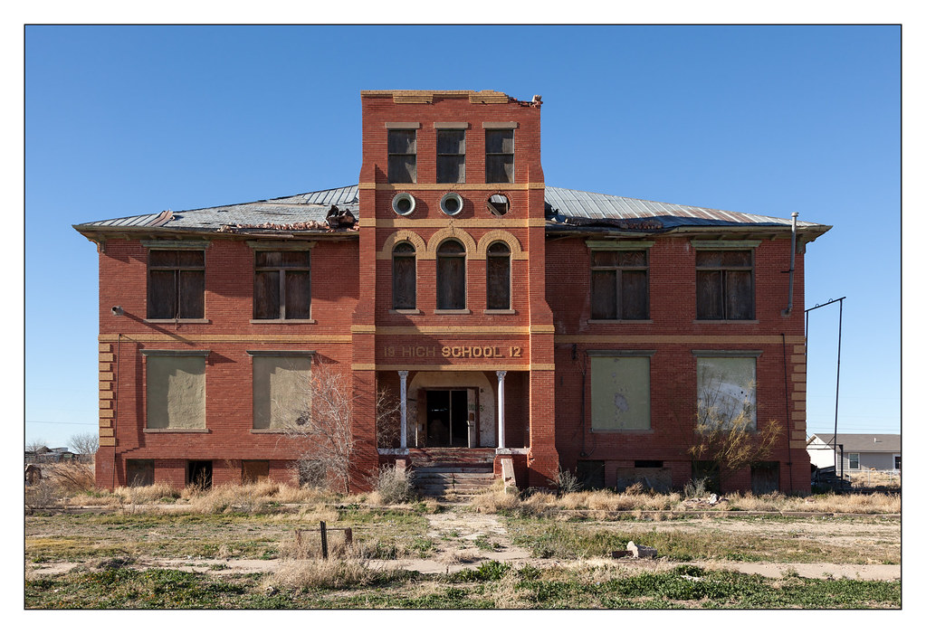
High School - Toyah, Tx.
0U1A3187_2016-10-14 TUS-IAH United 5540 - Toyah TX
Topographic Map of Reeves County, TX, USA
Find elevation by address:

Places in Reeves County, TX, USA:
Places near Reeves County, TX, USA:
County Road 132
County Road 421
315 Co Rd 404
315 Co Rd 404
Stafford Blvd, Pecos, TX, USA
601 S Hackberry St
Pecos
S Cedar St, Pecos, TX, USA
Mentone
Bell St, Mentone, TX, USA
Verhalen
Orla
West Texas Gas
Balmorhea
Loving County
1793 Co Rd 103
Orla, TX, USA
Ranch Road 2355
Red Bluff Reservoir
Pyote Flats
Recent Searches:
- Elevation of Spaceport America, Co Rd A, Truth or Consequences, NM, USA
- Elevation of Warwick, RI, USA
- Elevation of Fern Rd, Whitmore, CA, USA
- Elevation of 62 Abbey St, Marshfield, MA, USA
- Elevation of Fernwood, Bradenton, FL, USA
- Elevation of Felindre, Swansea SA5 7LU, UK
- Elevation of Leyte Industrial Development Estate, Isabel, Leyte, Philippines
- Elevation of W Granada St, Tampa, FL, USA
- Elevation of Pykes Down, Ivybridge PL21 0BY, UK
- Elevation of Jalan Senandin, Lutong, Miri, Sarawak, Malaysia