Elevation of West Pennington, SD, USA
Location: United States > South Dakota > Pennington County >
Longitude: -103.77526
Latitude: 43.9772503
Elevation: 1912m / 6273feet
Barometric Pressure: 80KPa
Elevation Map:
Satellite Map:
Related Photos:
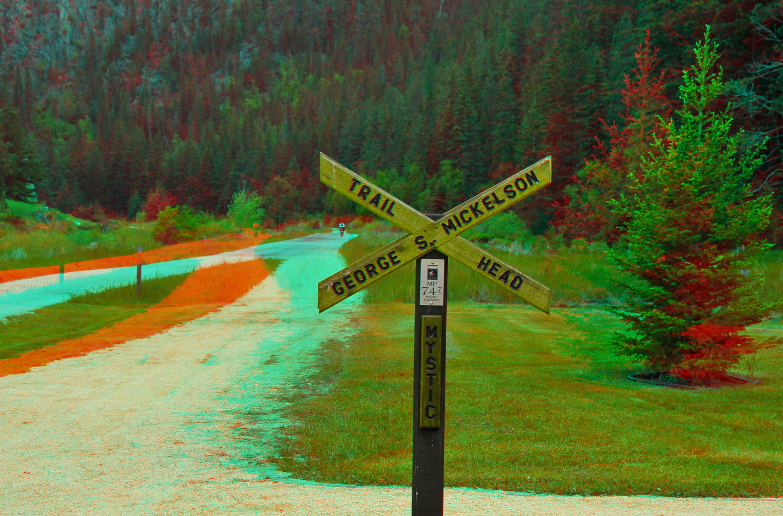
Mickelson Trailhead at Mystic SD (Hyper-3D)
Mickelson Trail 010
Mickelson Trail 012

2012-ROADTRIP81-Lost in Black Hills2
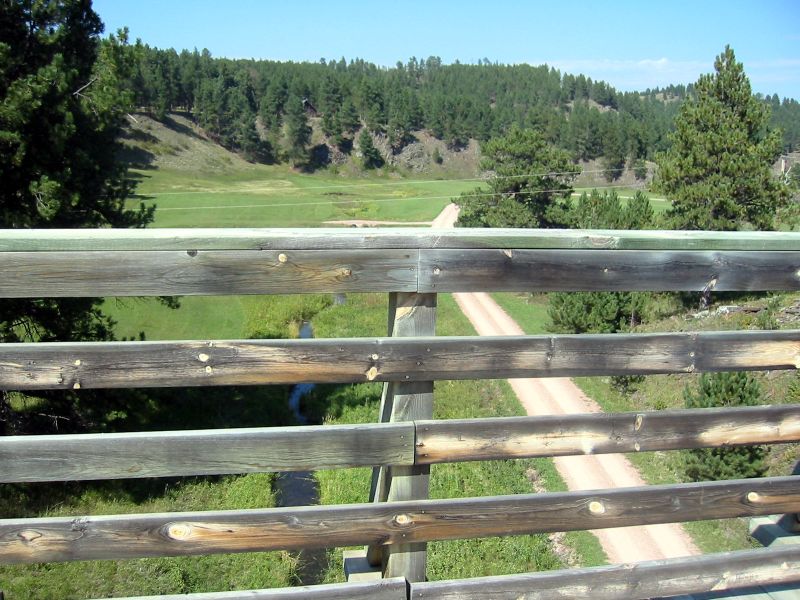
Leaving Mystic

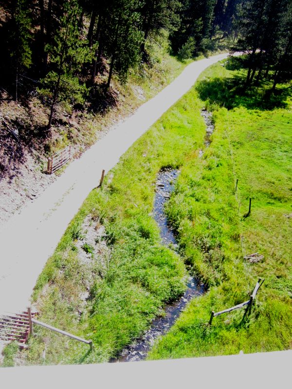
along castle creek
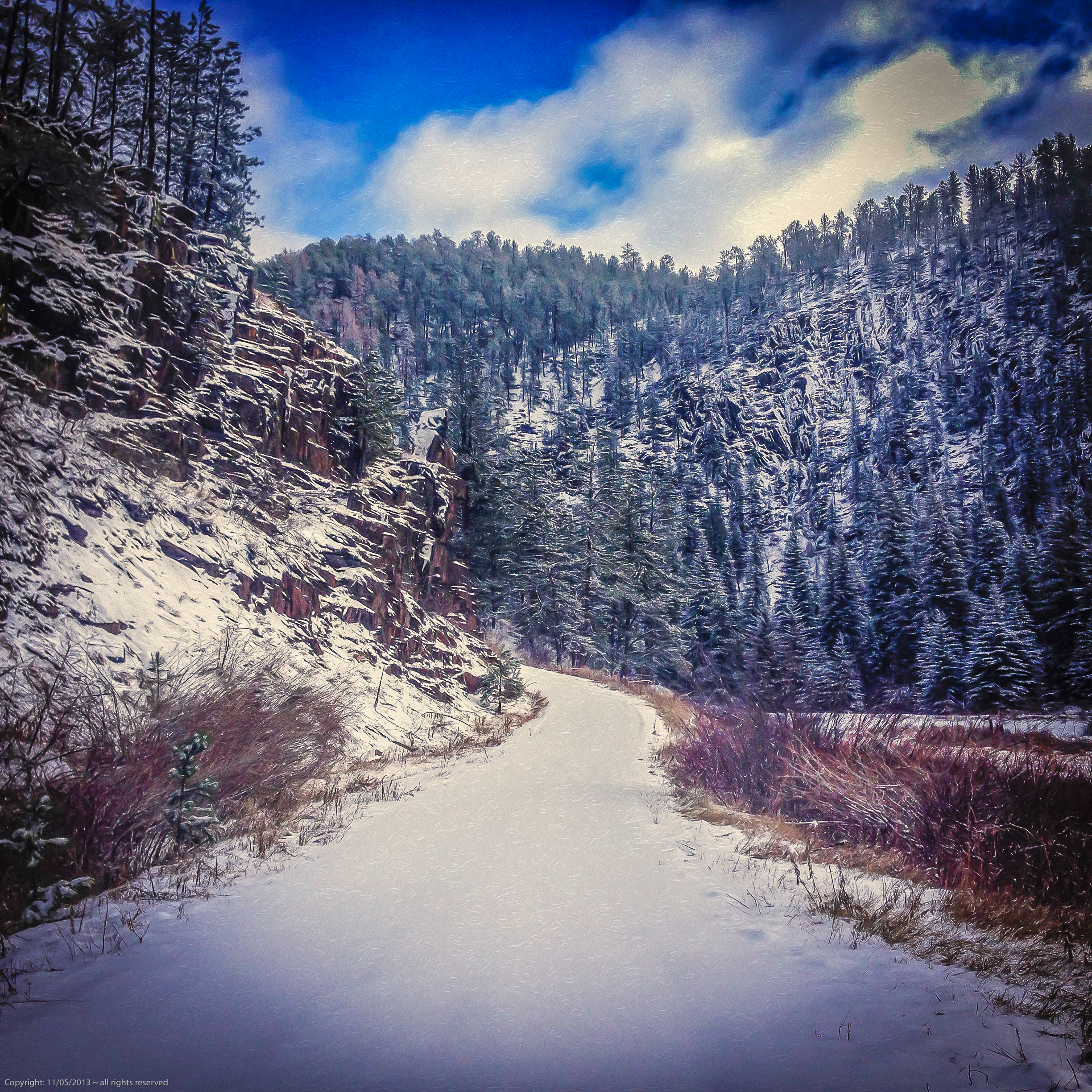
looking up the road.jpg

She'll be commin round the mountain
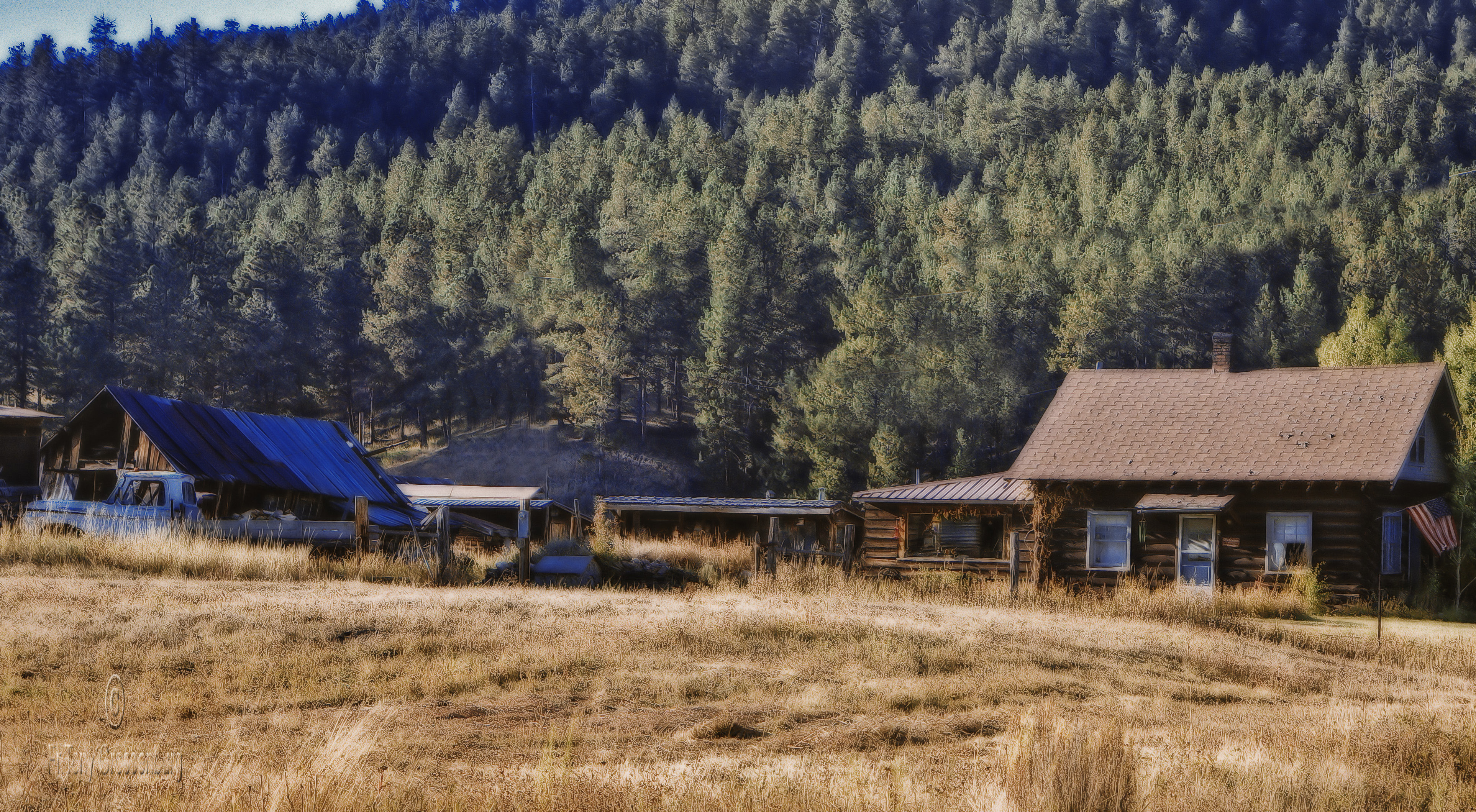
frink homestead
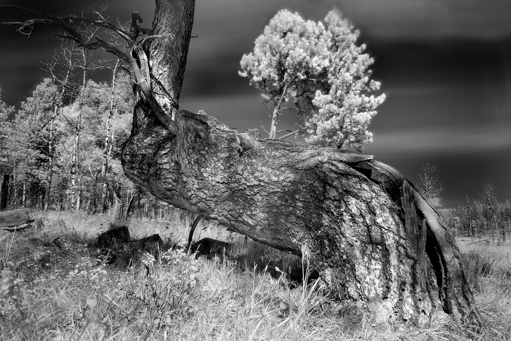
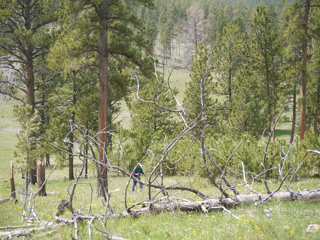
Determined Pine
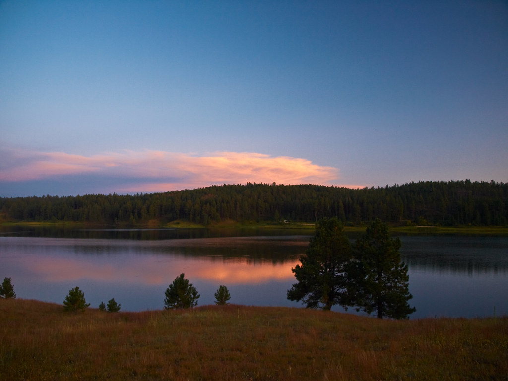
Deerfield Lake sun lit clouds
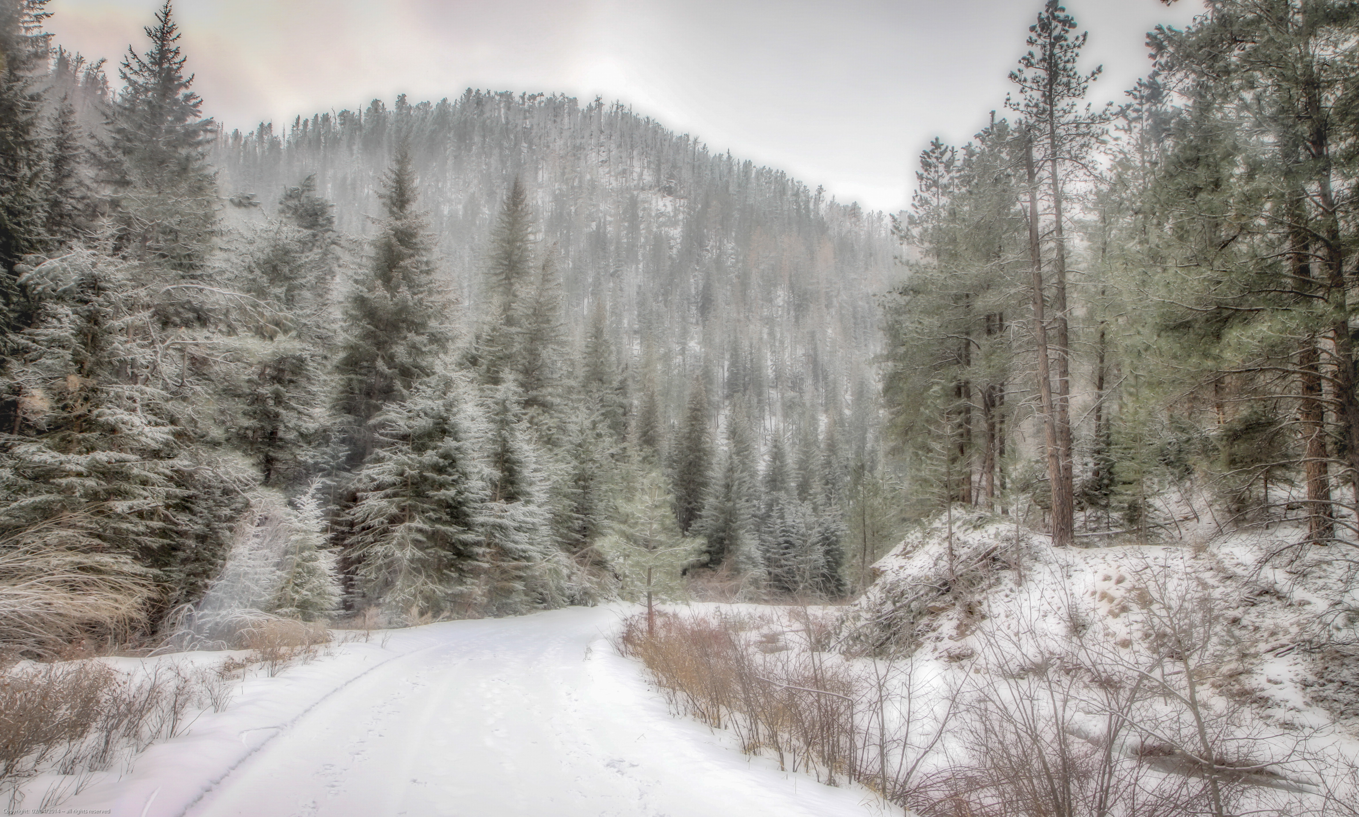
road to ice cave

Jasper Fire Area 2
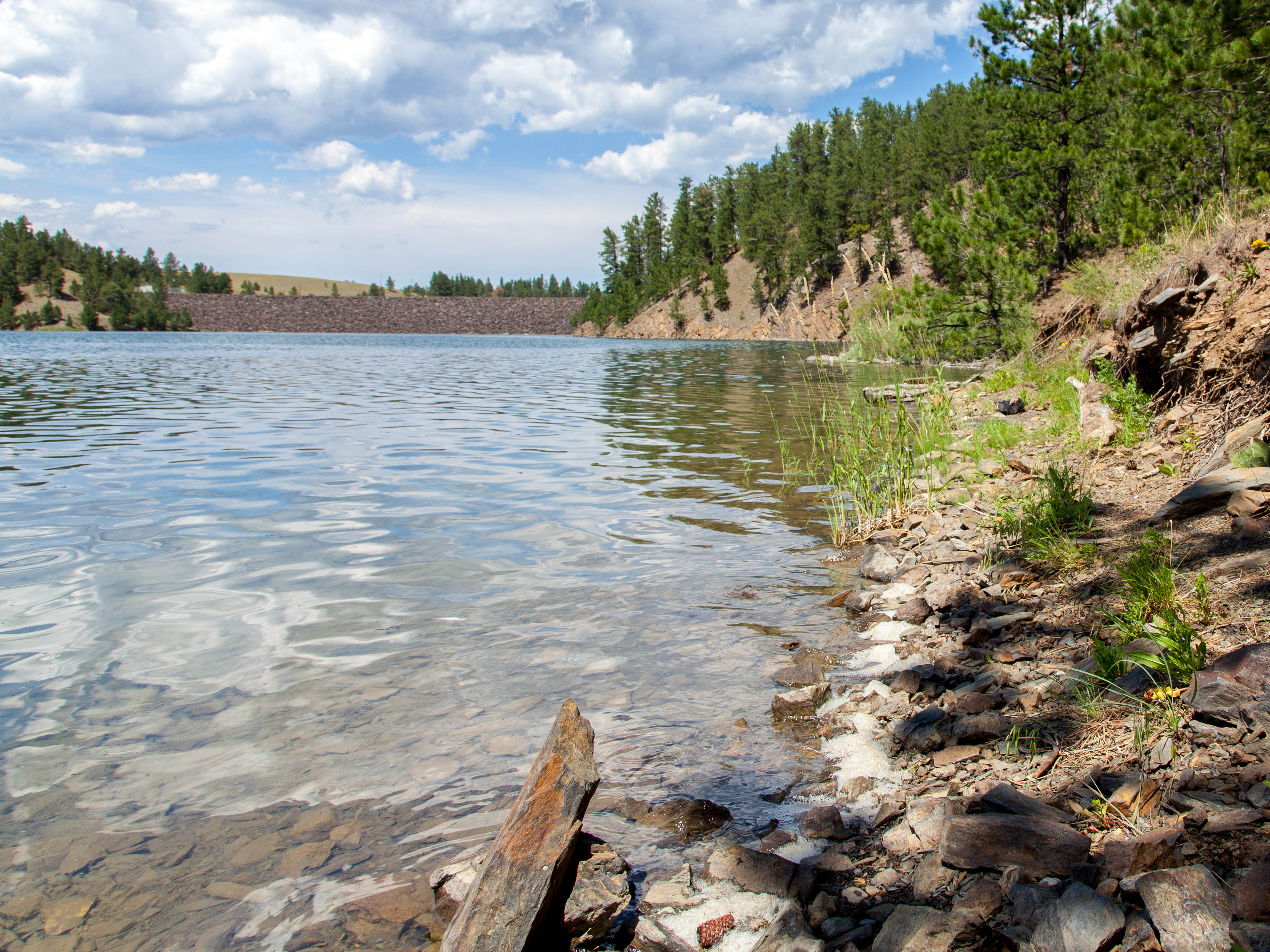
Deerfield Lake-5
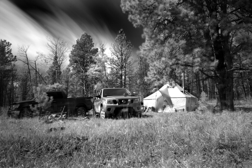
Hunt Camp
Topographic Map of West Pennington, SD, USA
Find elevation by address:

Places in West Pennington, SD, USA:
White Horse Rd, Custer, SD, USA
S Rochford Rd, Hill City, SD, USA
Rochford Rd, Hill City, SD, USA
Silver City
Places near West Pennington, SD, USA:
Black Hills
11321 Gillette Prairie Rd
11800 Deerfield Rd
S Rochford Rd, Hill City, SD, USA
22736 S Rochford Rd
Rochford Rd, Hill City, SD, USA
Rochford
Mystic
White Horse Rd, Custer, SD, USA
24967 N Pole Rd
11820 Custer Limestone Rd
24999 Danby Park Trail
Harney Peak West Road
Hill City
Crazy Horse Memorial
Crazy Horse
Thunder Road
Silver City
11596 Us-16
Mount Rushmore Road
Recent Searches:
- Elevation of Corso Fratelli Cairoli, 35, Macerata MC, Italy
- Elevation of Tallevast Rd, Sarasota, FL, USA
- Elevation of 4th St E, Sonoma, CA, USA
- Elevation of Black Hollow Rd, Pennsdale, PA, USA
- Elevation of Oakland Ave, Williamsport, PA, USA
- Elevation of Pedrógão Grande, Portugal
- Elevation of Klee Dr, Martinsburg, WV, USA
- Elevation of Via Roma, Pieranica CR, Italy
- Elevation of Tavkvetili Mountain, Georgia
- Elevation of Hartfords Bluff Cir, Mt Pleasant, SC, USA