Elevation of Gillette Prairie Rd, Hill City, SD, USA
Location: United States > South Dakota > Pennington County > Hill City >
Longitude: -103.79181
Latitude: 44.002896
Elevation: 1814m / 5951feet
Barometric Pressure: 81KPa
Elevation Map:
Satellite Map:
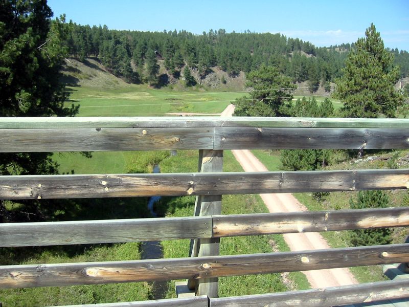
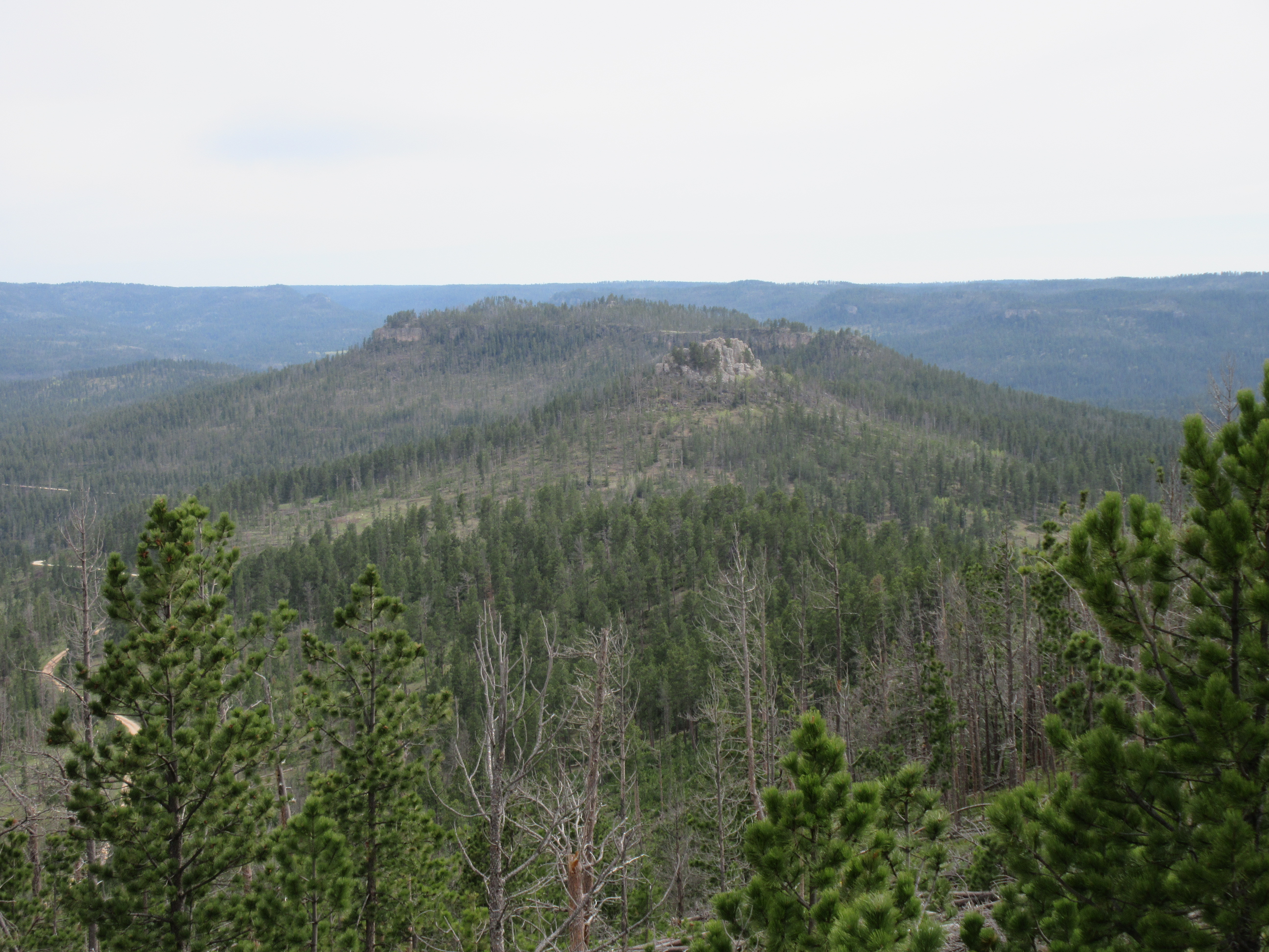
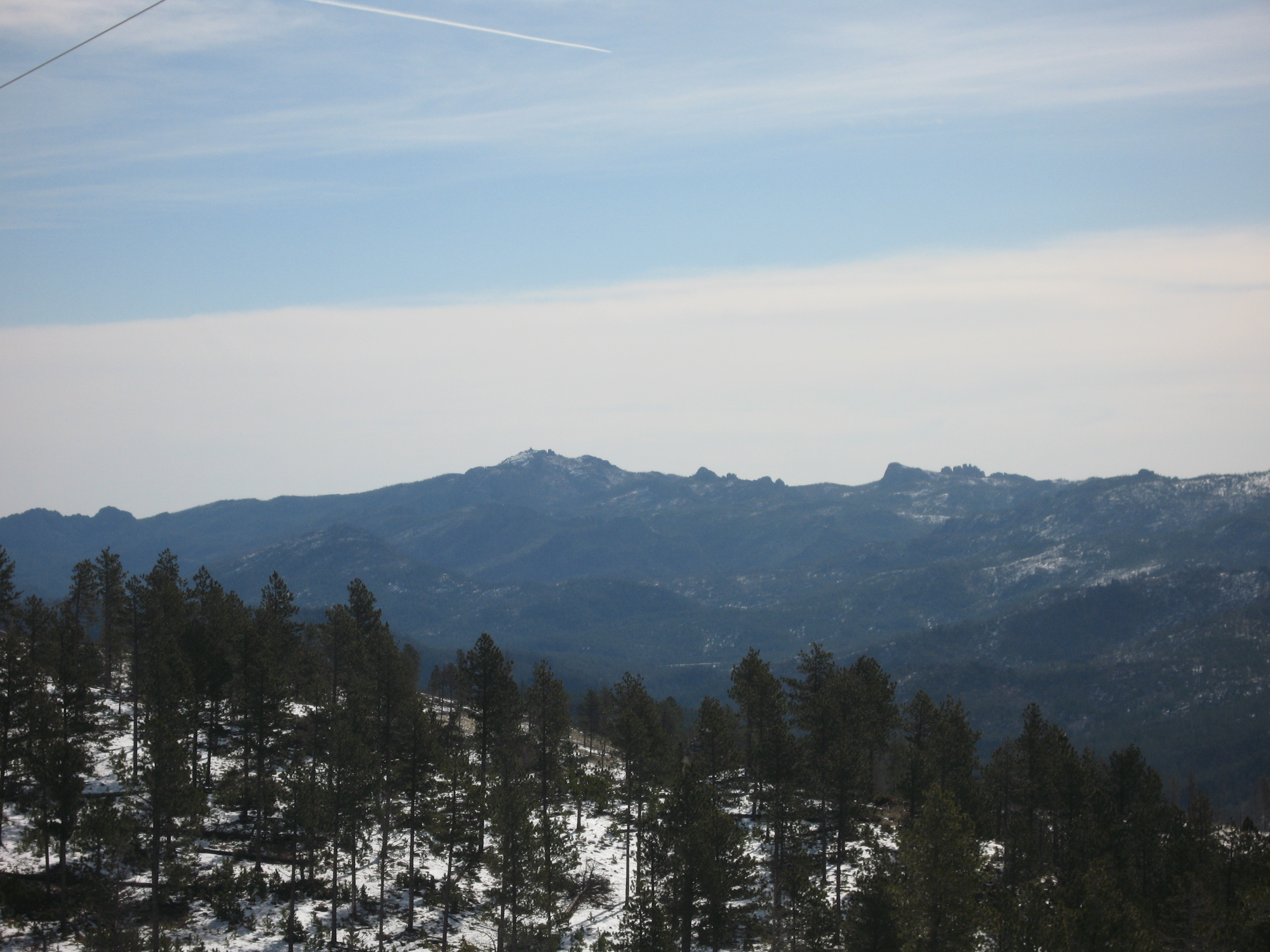
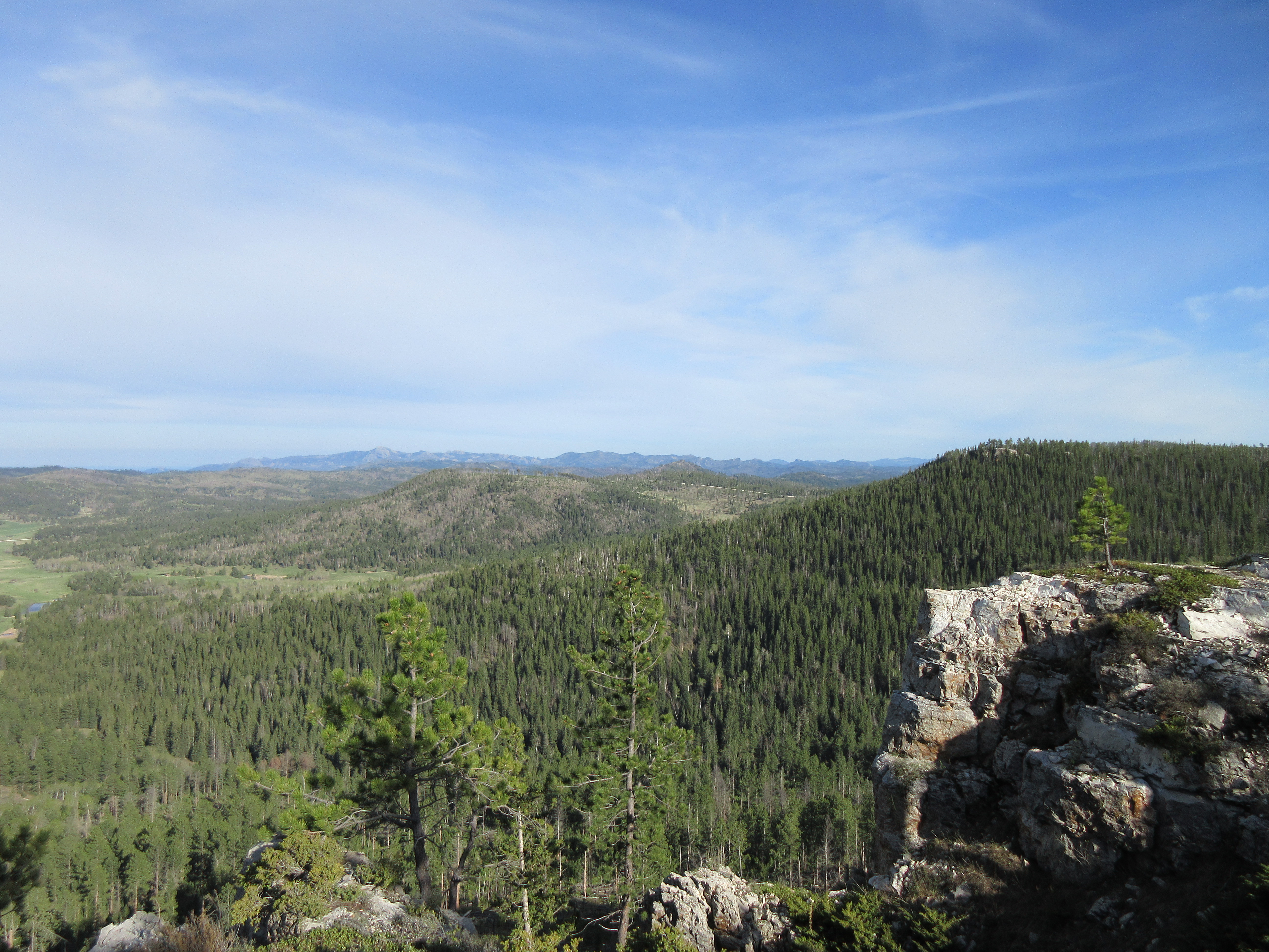
Related Photos:
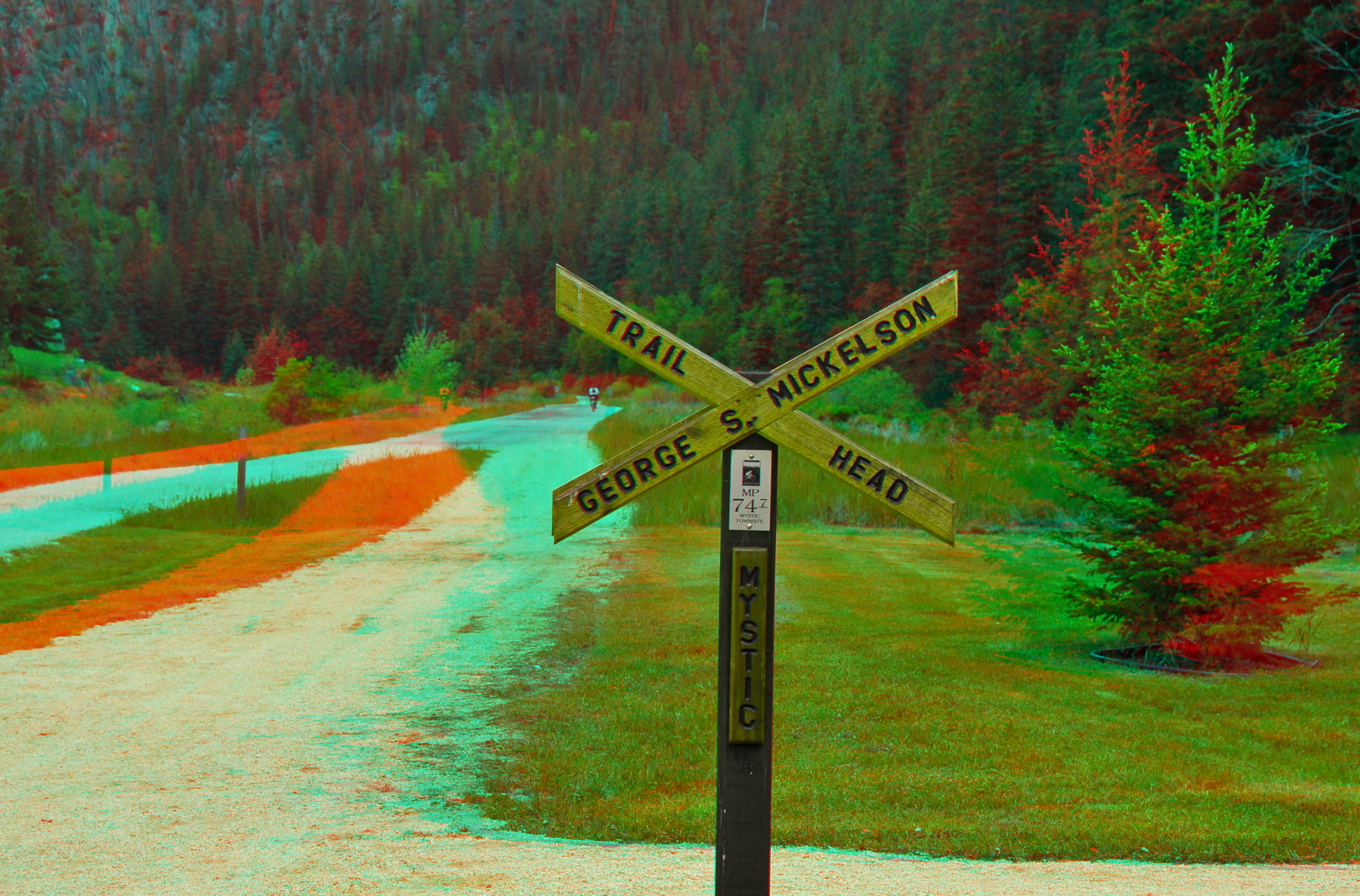
Mickelson Trailhead at Mystic SD (Hyper-3D)
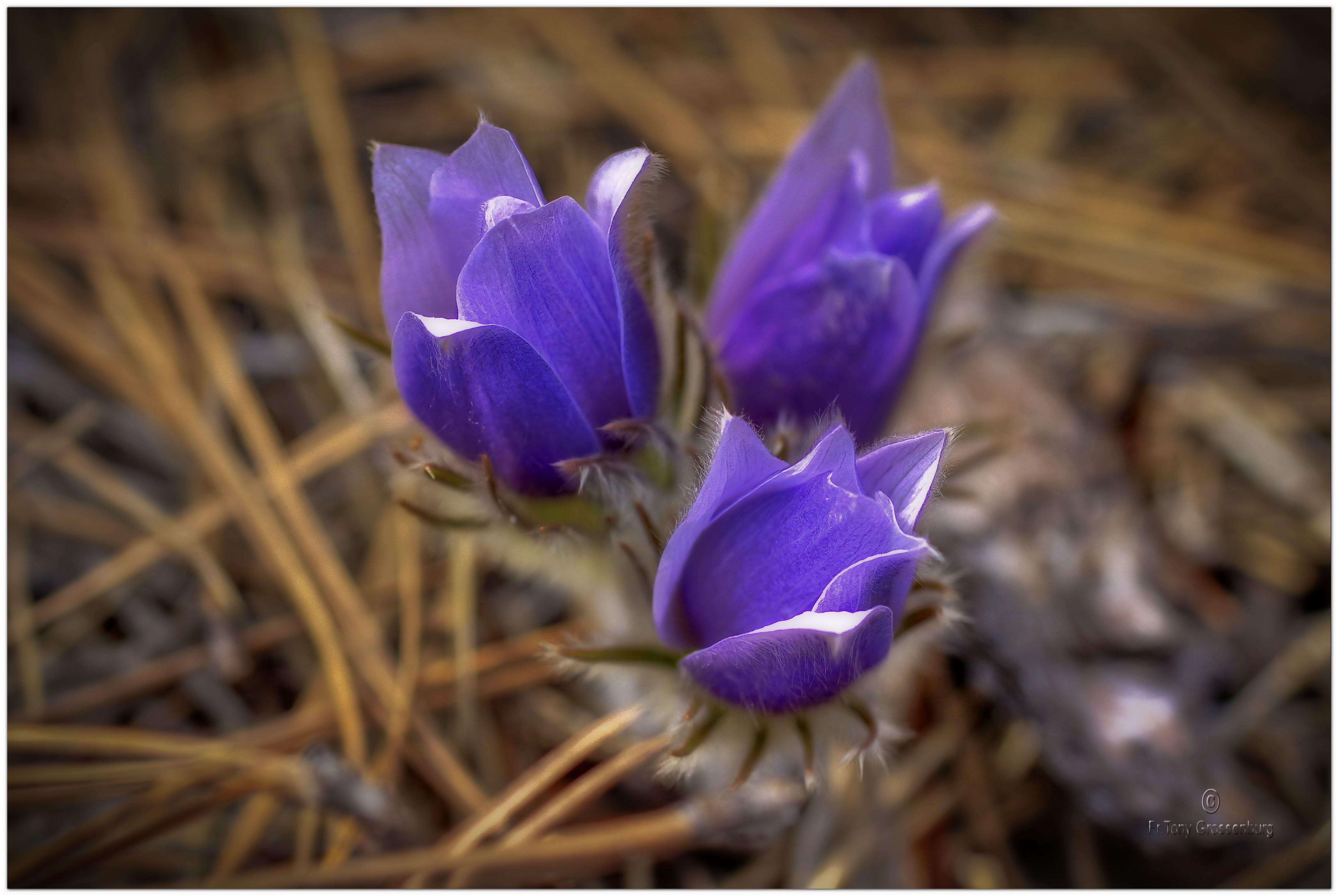
natural beauty
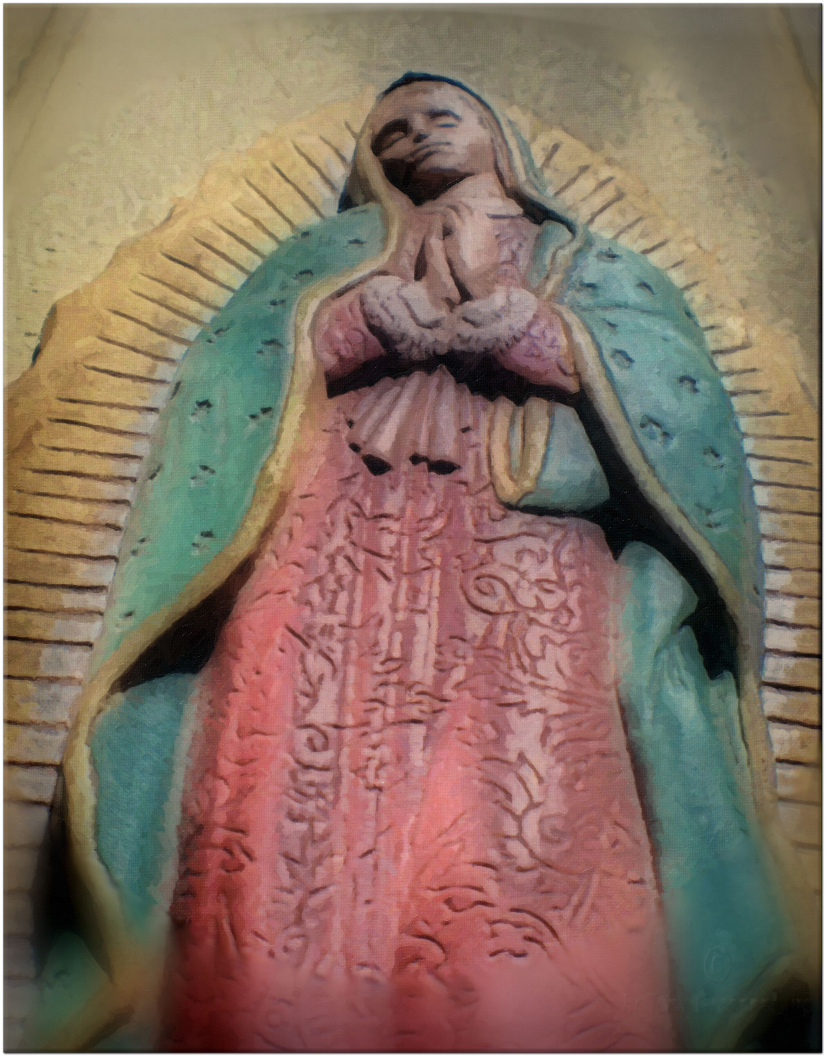
our lady of guadalupe
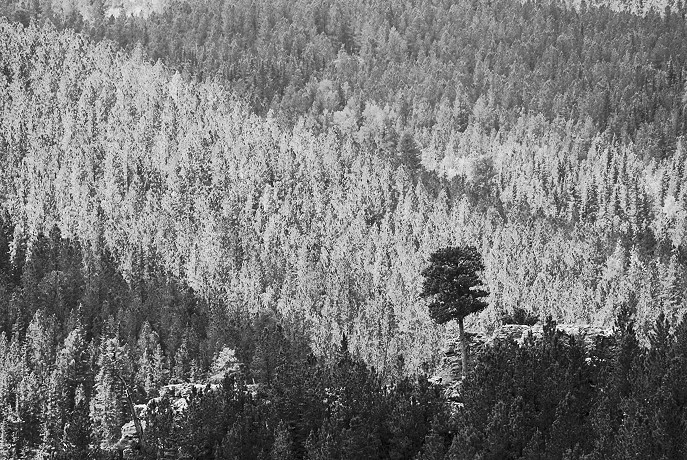
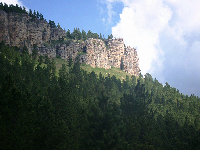
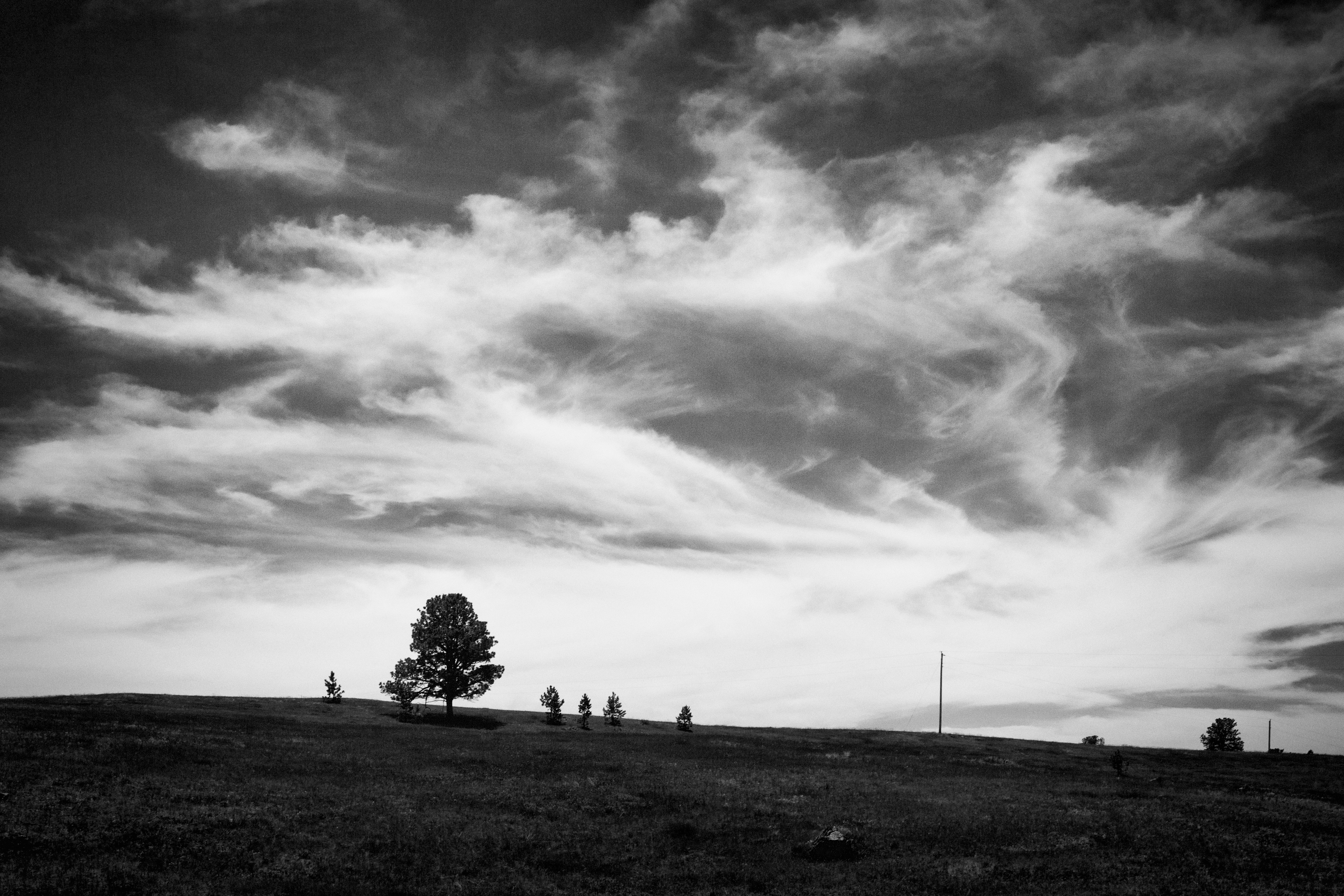
Standing Alone
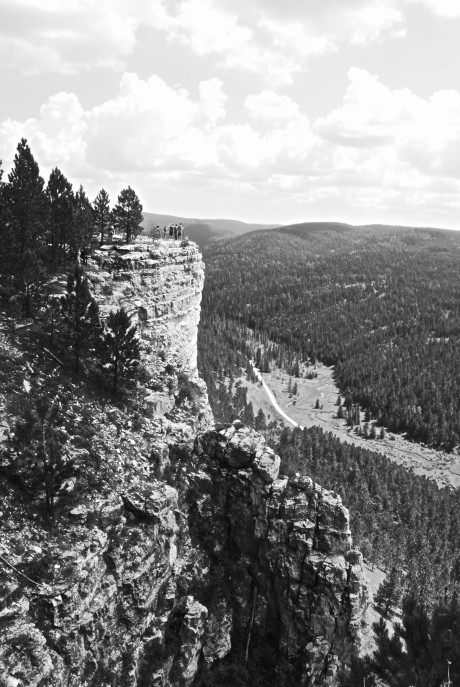
The View From Below
Brave Explorers
View of Downtown Rochford through the Trees.jpg
Mickelson Trail 010
Mickelson Trail 012
Flag Mountain, 2018_05_20
Bear Mountain, 2017_04_07
Green Mountain, 2018_05_20

Flag Mountain, 2018_05_20
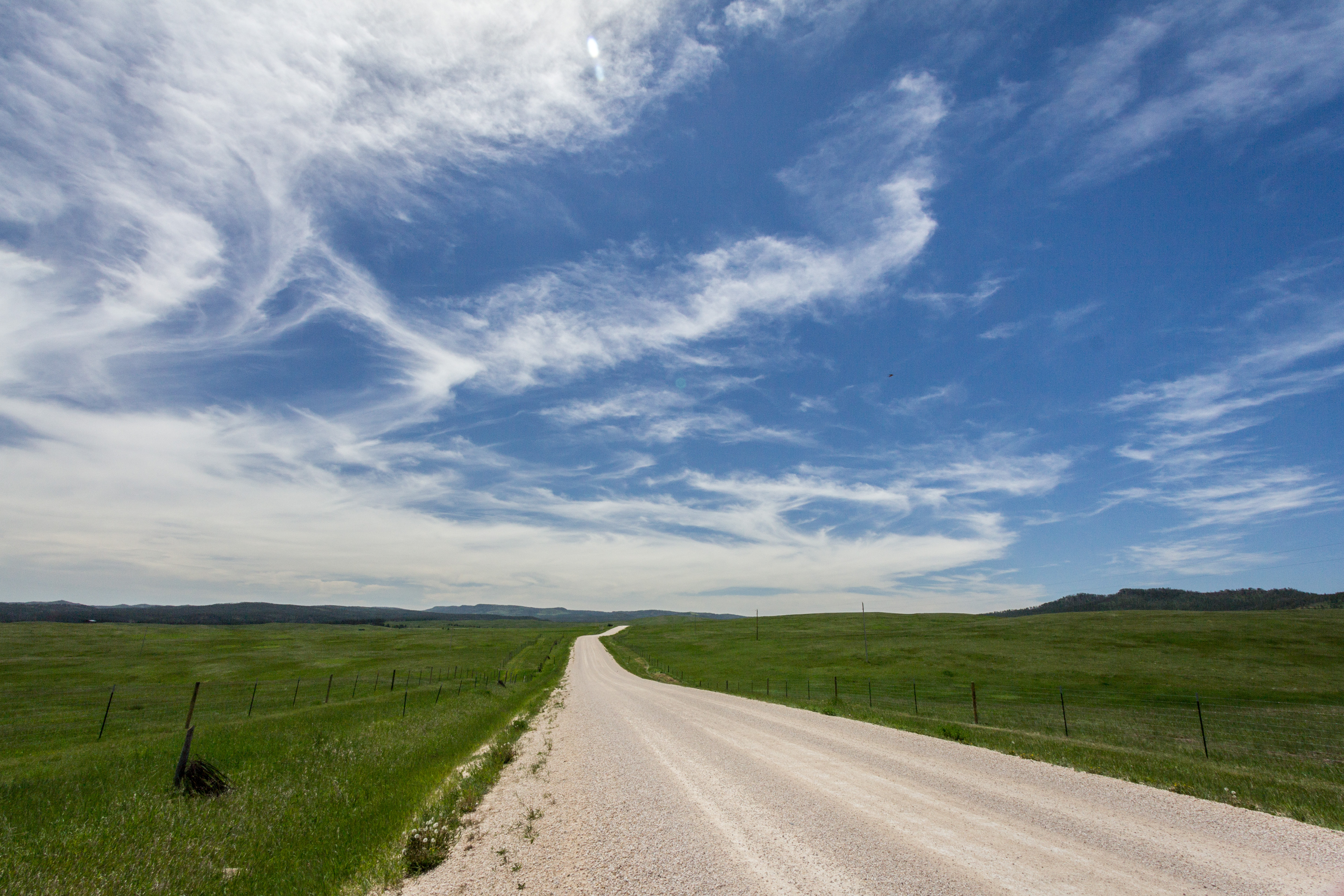
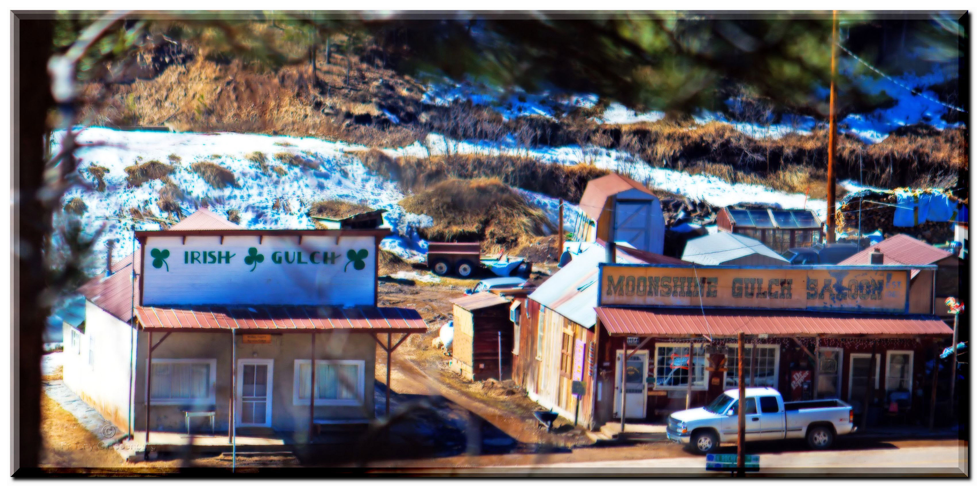
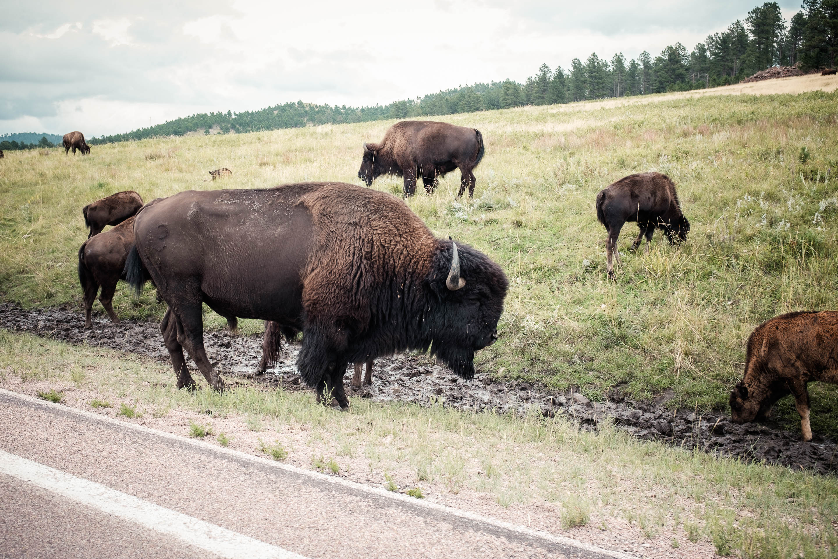
160/365: The best drive of my life
All grown up
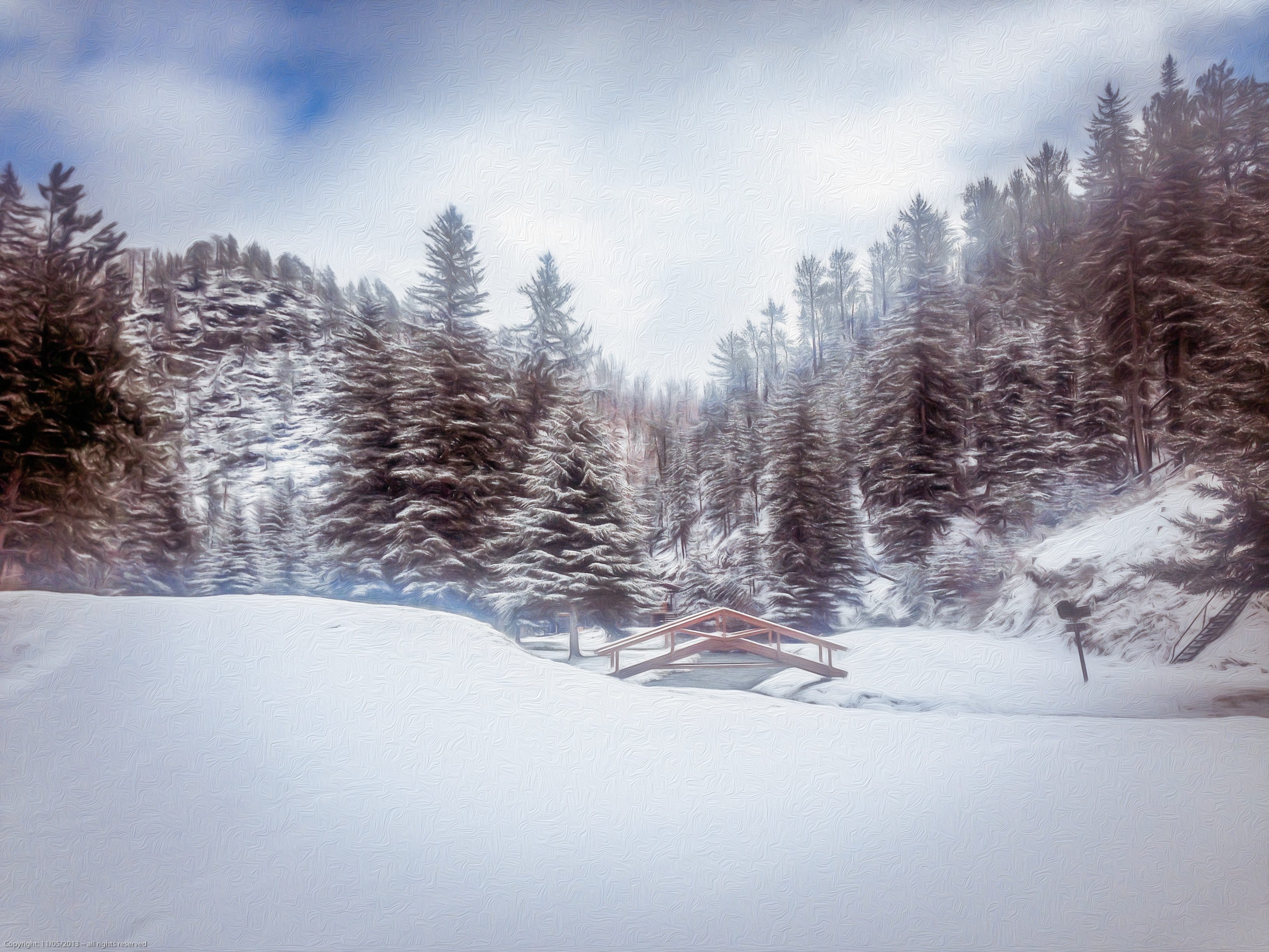
snow on castle creek
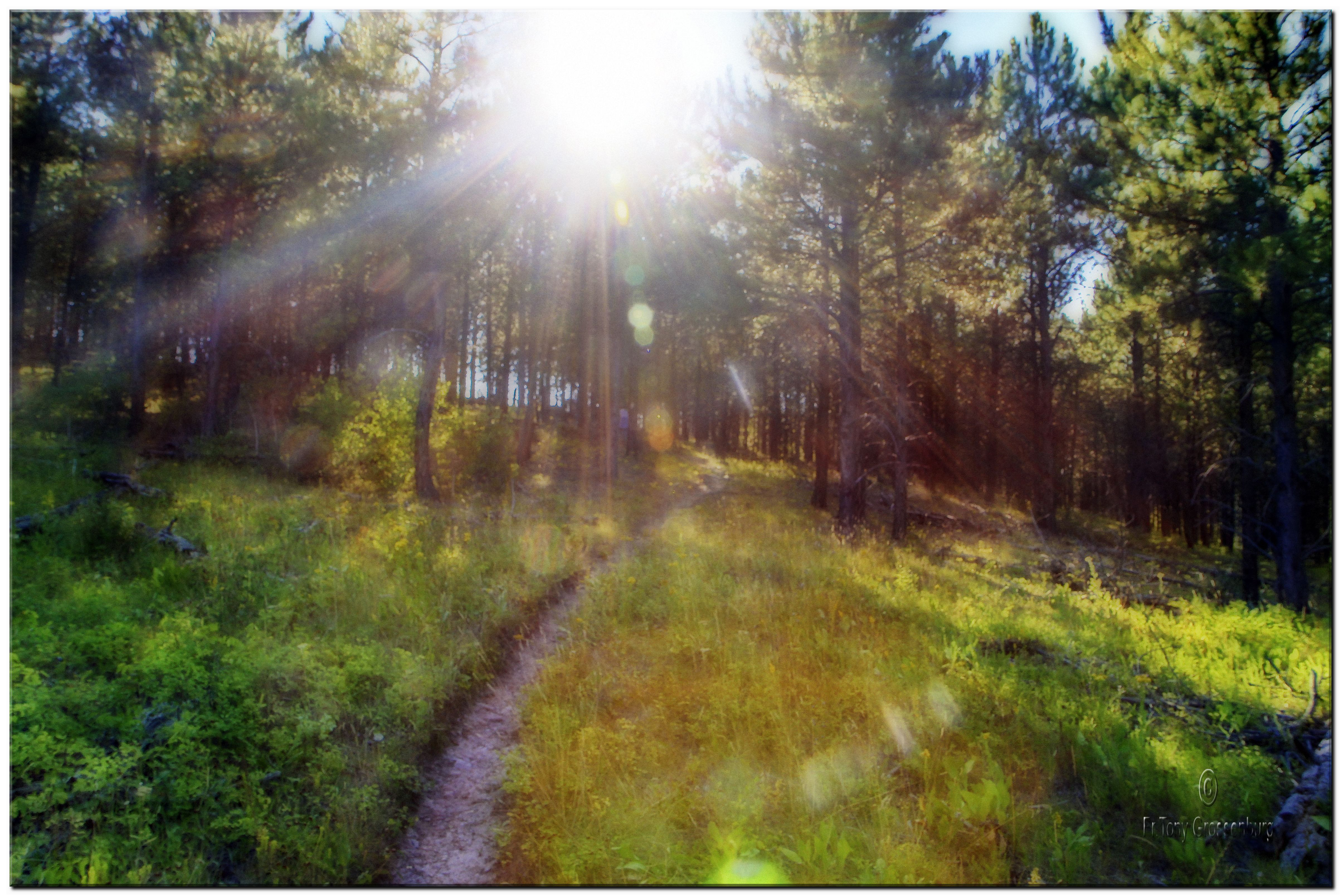
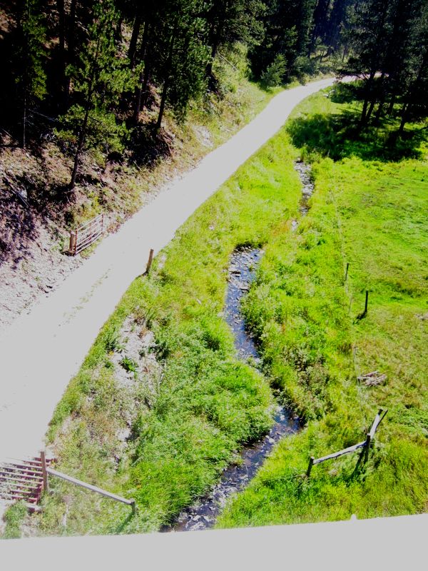
sunlit path
DSCF1940.jpg
DSCF1931.jpg
Leaving Mystic
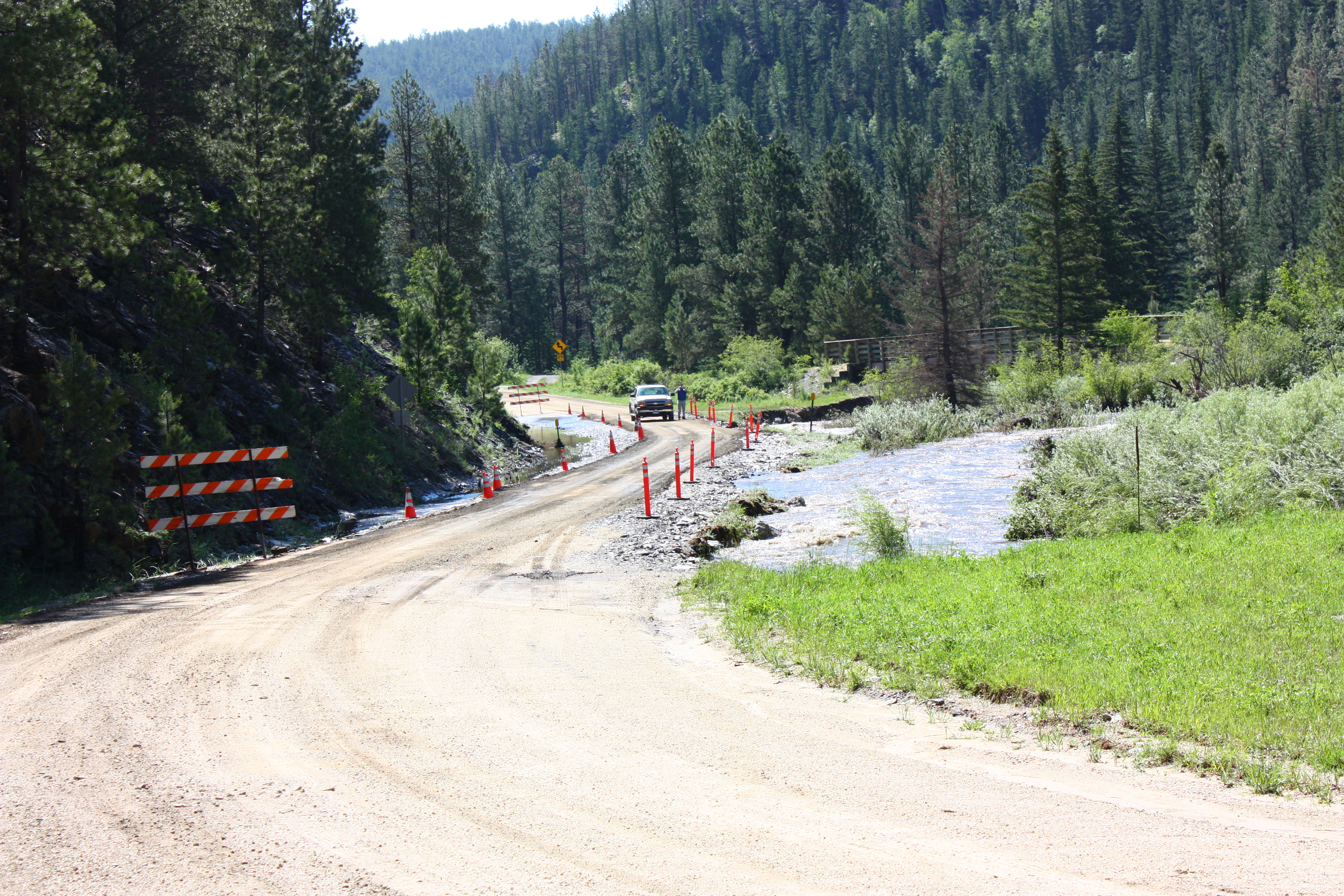
looking up the road.jpg

She'll be commin round the mountain
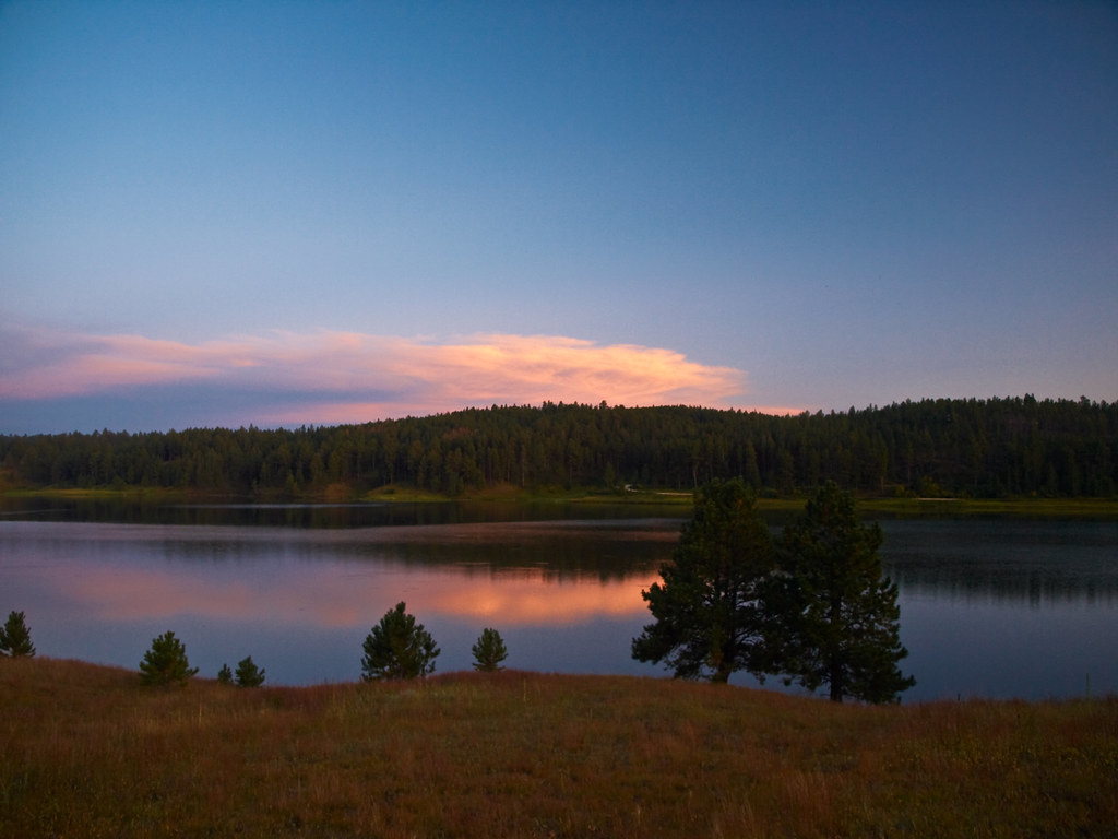
Deerfield Lake sun lit clouds

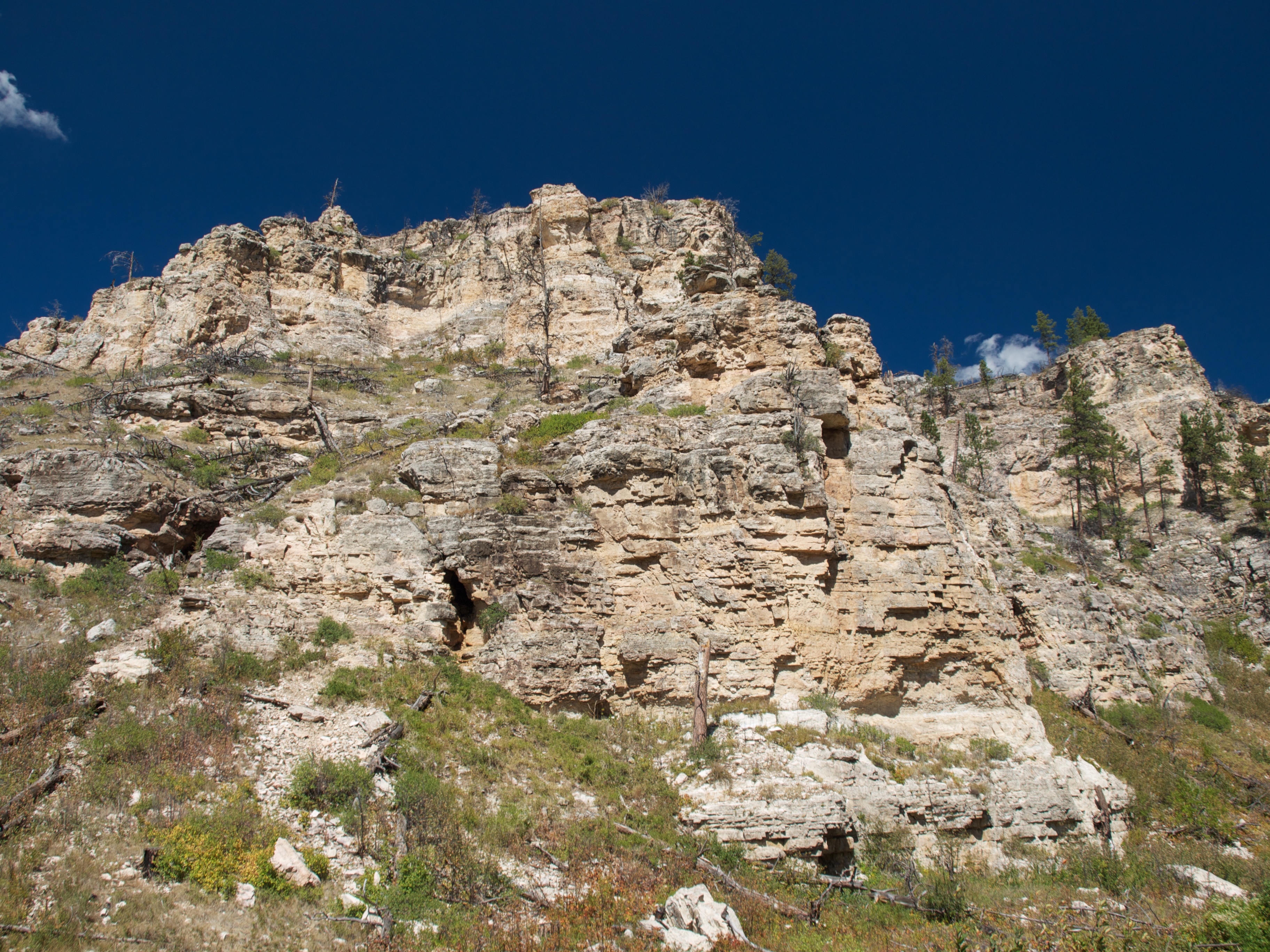
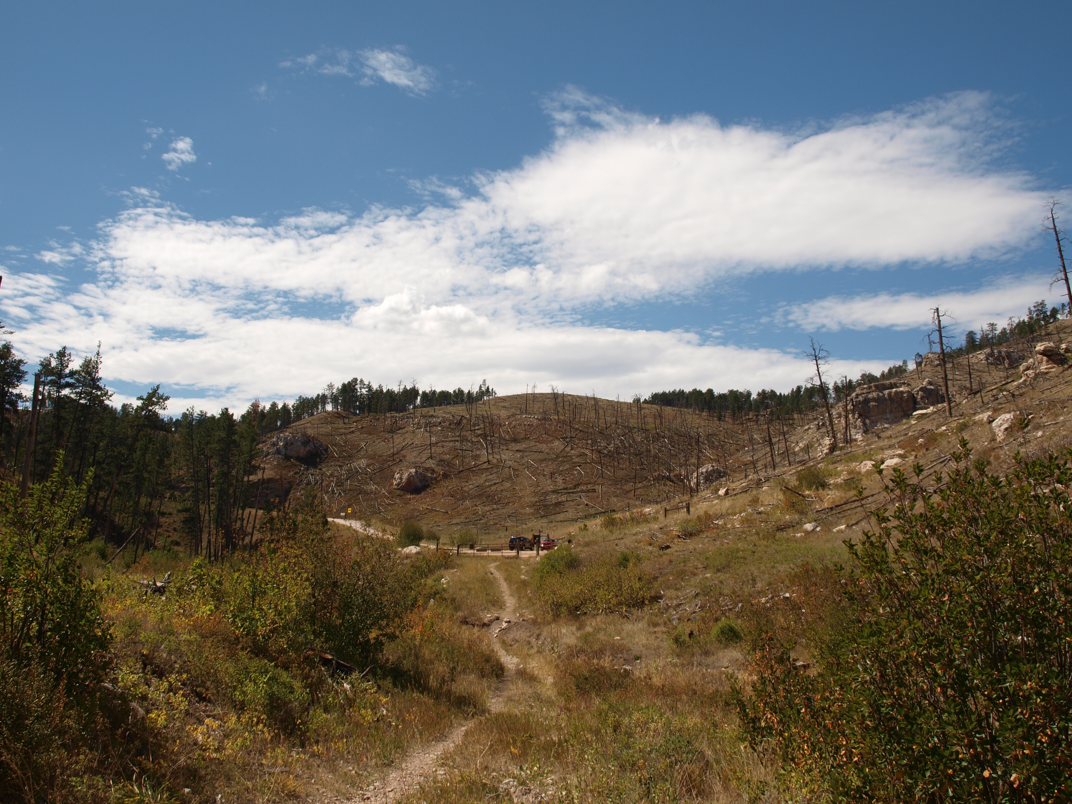
Jasper Fire Area 2
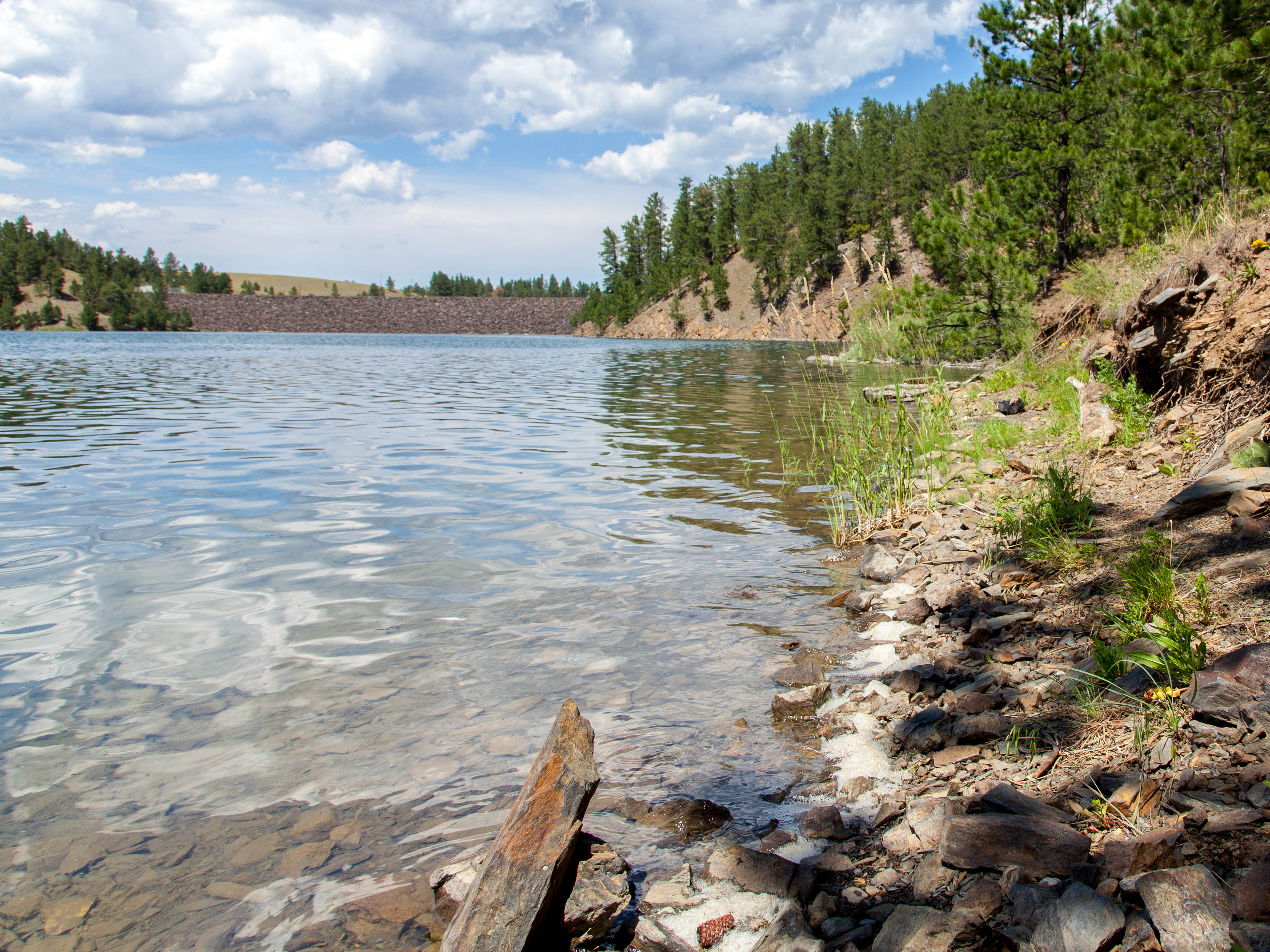
Deerfield Lake-5

Collapsed Mine
Black Hills & Custer State Park 1 - 2012-09-01
Black Hills & Custer State Park 2 - 2012-09-01
Along Rochford Road
Side of Red Fern Mountain
Red Fern Mountain
Topographic Map of Gillette Prairie Rd, Hill City, SD, USA
Find elevation by address:

Places near Gillette Prairie Rd, Hill City, SD, USA:
Black Hills
West Pennington
11800 Deerfield Rd
S Rochford Rd, Hill City, SD, USA
22736 S Rochford Rd
Rochford Rd, Hill City, SD, USA
Rochford
Mystic
White Horse Rd, Custer, SD, USA
24967 N Pole Rd
Harney Peak West Road
24999 Danby Park Trail
11820 Custer Limestone Rd
Hill City
Dumont
Crazy Horse Memorial
Crazy Horse
Silver City
Thunder Road
11133 Bogey Cir
Recent Searches:
- Elevation of 72-31 Metropolitan Ave, Middle Village, NY, USA
- Elevation of 76 Metropolitan Ave, Brooklyn, NY, USA
- Elevation of Alisal Rd, Solvang, CA, USA
- Elevation of Vista Blvd, Sparks, NV, USA
- Elevation of 15th Ave SE, St. Petersburg, FL, USA
- Elevation of Beall Road, Beall Rd, Florida, USA
- Elevation of Leguwa, Nepal
- Elevation of County Rd, Enterprise, AL, USA
- Elevation of Kolchuginsky District, Vladimir Oblast, Russia
- Elevation of Shustino, Vladimir Oblast, Russia