Elevation of West Neal Street, W Neal St, Oracle, AZ, USA
Location: United States > Arizona > Pinal County > Oracle >
Longitude: -110.78756
Latitude: 32.6128116
Elevation: 1367m / 4485feet
Barometric Pressure: 86KPa
Elevation Map:
Satellite Map:
Related Photos:

Day-11: Biosphere2_4697d

View north from the ridge above Biosphere 2

1991 01-11 1430 SMARRCO RS3s-8 & 9 switching in San Manuel, AZ
1991 01-11 1431 SMARRCO RS3s-8 & 9 switching in San Manuel, AZ

Agave parryi
Agave parryi

Agave parryi

Tiger Copper Mine, Mammoth, AZ

standing watch

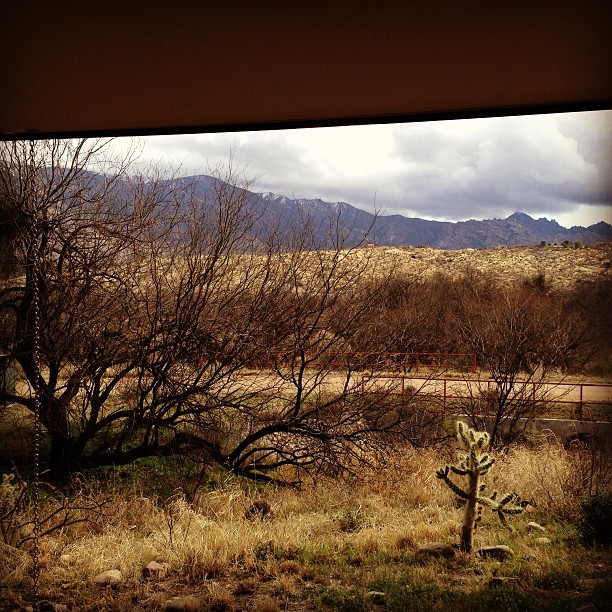
Oracle, AZ

San Manuel, AZ

Catching air

View of side jeep trail which goes to Pearl Mine from Tucson Wash road, W of Mammoth, AZ

The View Towards Copper Hill and Margaret Wash

spiral staircase to the future
Biosphere 2 Bio-luminescent too?
I Will Remain Forever

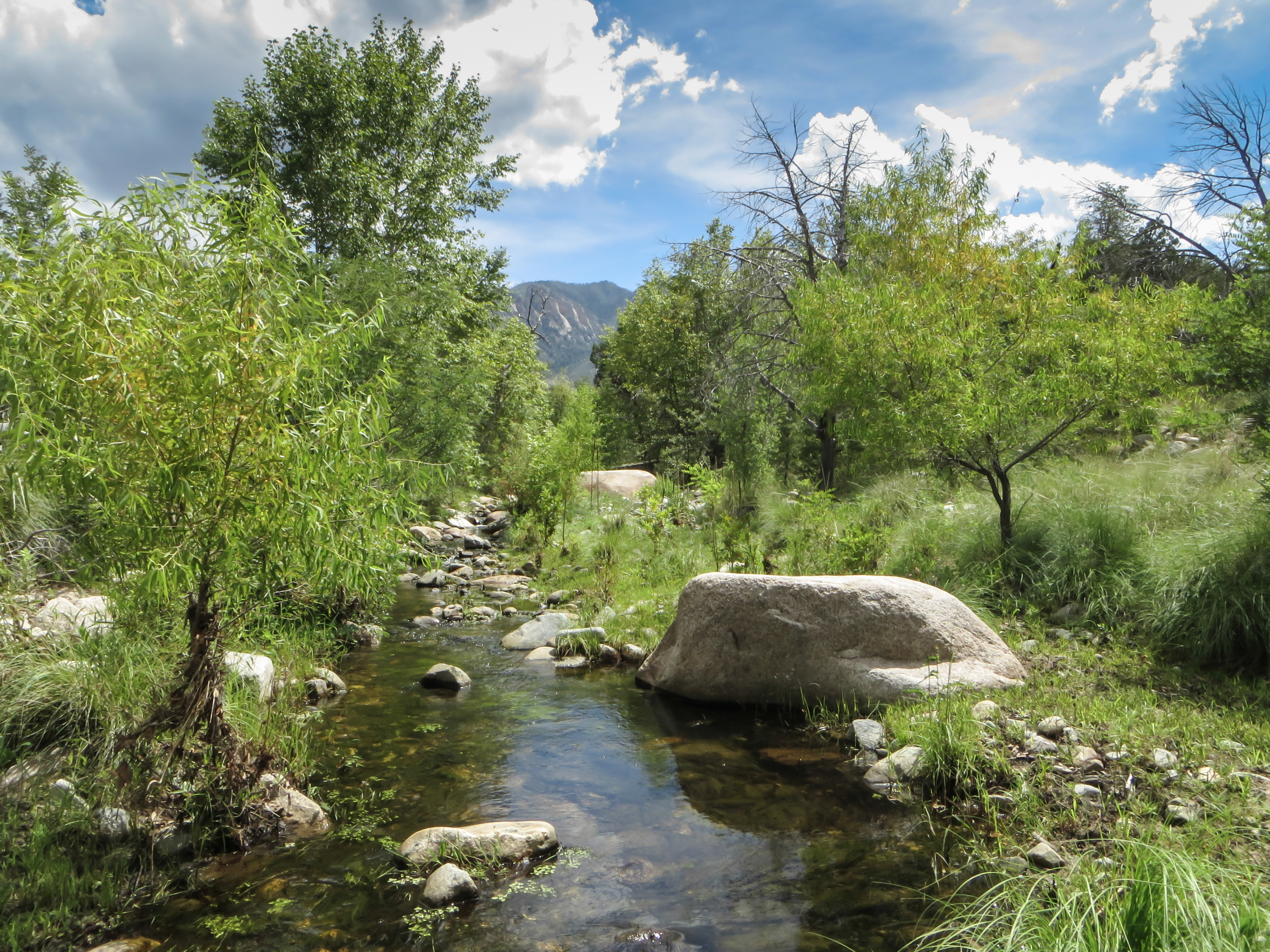
View toward the San Pedro River
Room with a view - the AZ desert at Mirival

1305 North Ridges

the future, as seen though a glass triangle darkly

Biosphere 2

2006-08-20 - Road Trip - Day 29 - United States - Arizona - Biosphere 2 - Observatory

Agave Starburst
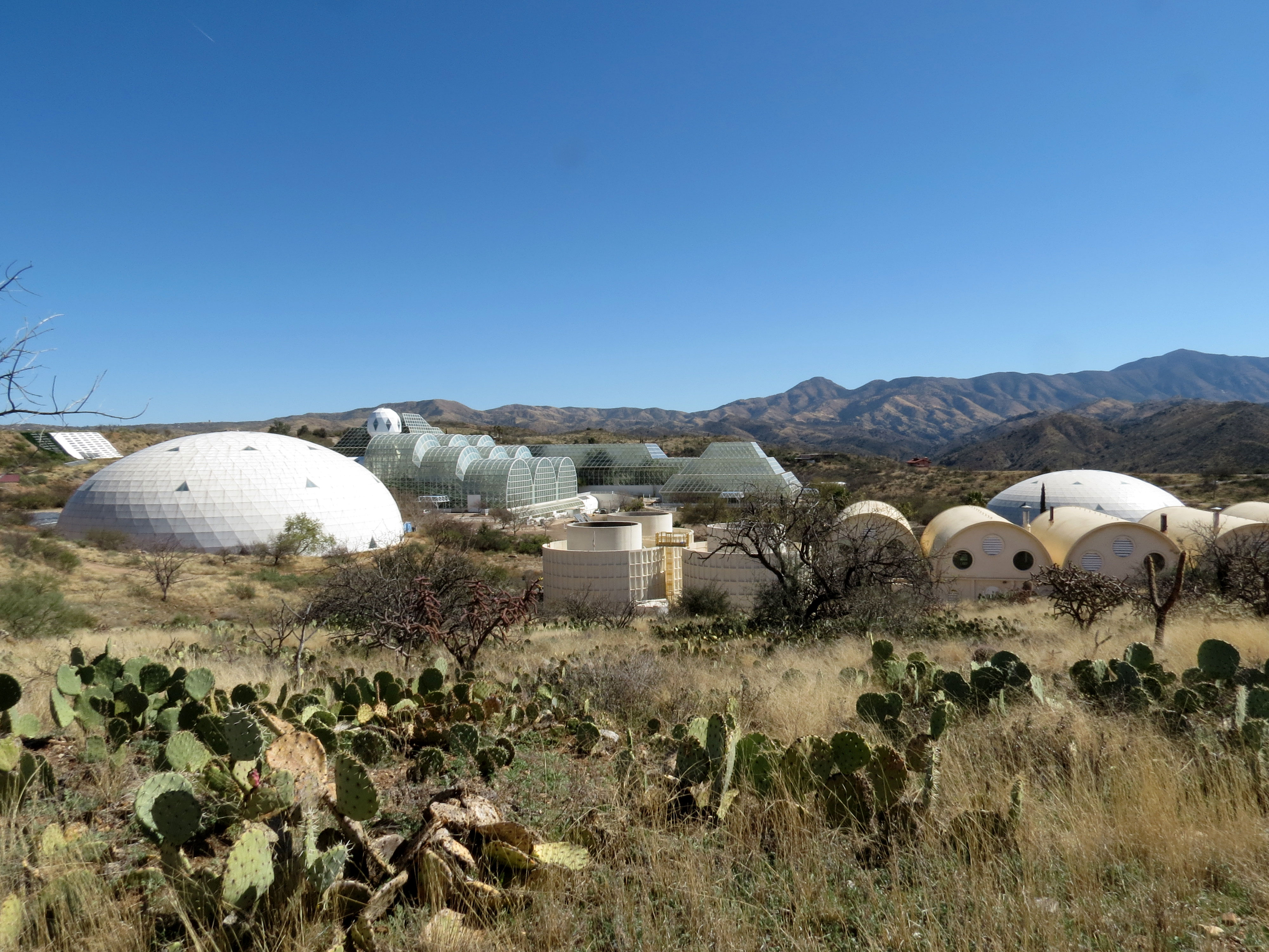
Biosphere 2 Campus

Raul Covarrubias; SE of Oracle, AZ

The Rainforest
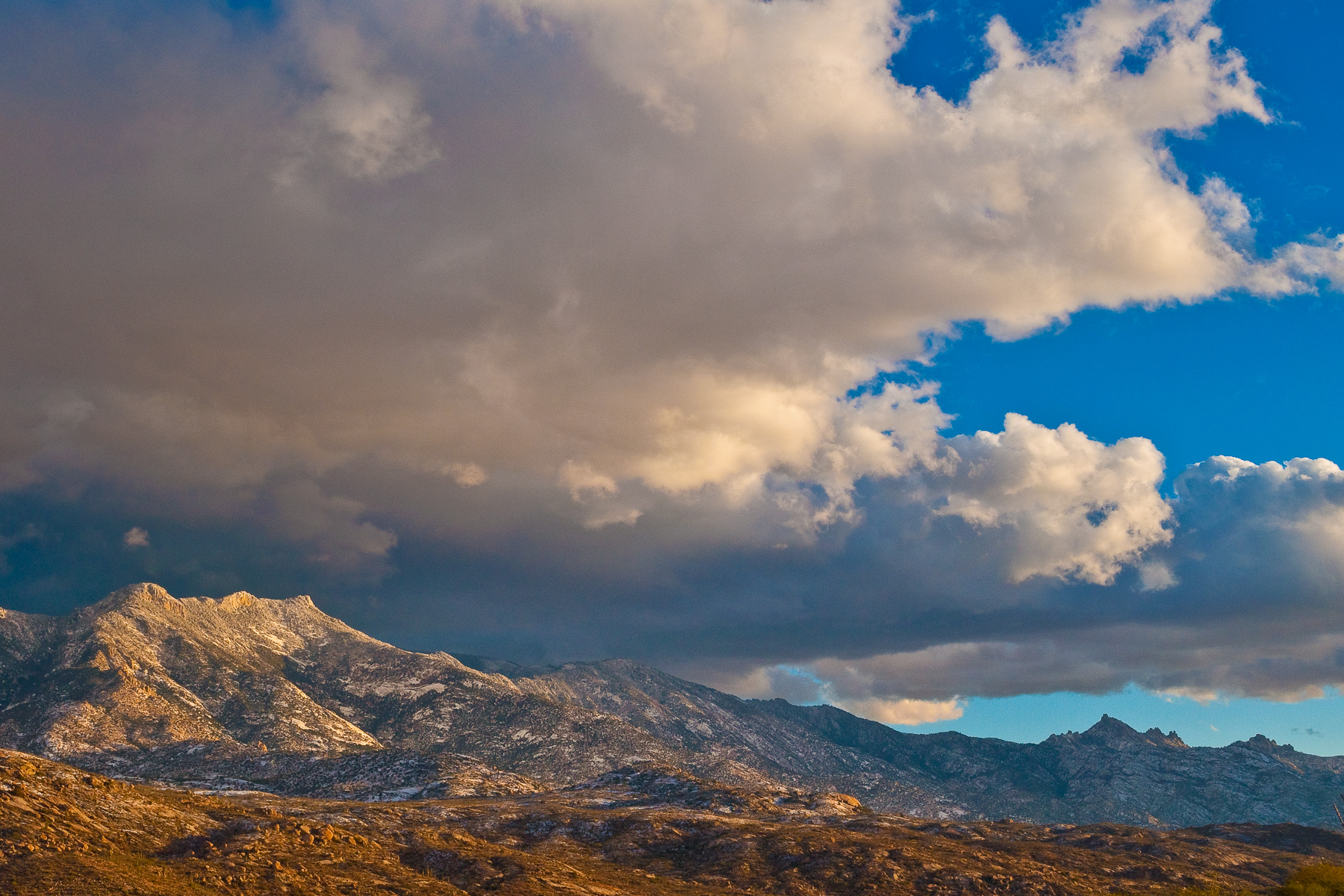
Winter Storm Clouds Over Mt Lemmon, Arizona

Pointing at the Sky

Biosphere 2
1308 Looking up the Canada del Oro

Biosphere Sunset 2

Common Sotol (Dasylirion wheeleri - Desert Spoon)

Void of Color

1504 Grass and Hills from the Oracle Ridge Trail

Rain Forest Biome

Oracle State Park north side; E of Oracle, AZ

Soaptree Yucca with clouds; desert SW of San Manuel, AZ
Topographic Map of West Neal Street, W Neal St, Oracle, AZ, USA
Find elevation by address:

Places near West Neal Street, W Neal St, Oracle, AZ, USA:
650 W Linda Vista Rd
910 W La Osa St
1605 N Calle Coruna
1565 N Calle Valencia
Triangle L Ranch Bed And Breakfast
La Mariposa Street
The Oracle Patio Cafe And Market
Oracle
545 N Bonito Dr
755 N Church Dr
333 N John Adams St
500 N Cody Loop Rd
West Oro Creek Drive
S Biosphere Rd, Tucson, AZ, USA
66701 E Sundance Pl
The Preserve At Saddlebrooke
35927 S Wind Crest Dr
65688 E Mesa Ridge Ct
36582 S Ocotillo Canyon Dr
65833 E Rose Crest Dr
Recent Searches:
- Elevation of Congressional Dr, Stevensville, MD, USA
- Elevation of Bellview Rd, McLean, VA, USA
- Elevation of Stage Island Rd, Chatham, MA, USA
- Elevation of Shibuya Scramble Crossing, 21 Udagawacho, Shibuya City, Tokyo -, Japan
- Elevation of Jadagoniai, Kaunas District Municipality, Lithuania
- Elevation of Pagonija rock, Kranto 7-oji g. 8"N, Kaunas, Lithuania
- Elevation of Co Rd 87, Jamestown, CO, USA
- Elevation of Tenjo, Cundinamarca, Colombia
- Elevation of Côte-des-Neiges, Montreal, QC H4A 3J6, Canada
- Elevation of Bobcat Dr, Helena, MT, USA