Elevation of W Linda Vista Rd, Oracle, AZ, USA
Location: United States > Arizona > Pinal County > Oracle >
Longitude: -110.78108
Latitude: 32.6114052
Elevation: 1367m / 4485feet
Barometric Pressure: 86KPa
Elevation Map:
Satellite Map:
Related Photos:

Arizona State Route 79
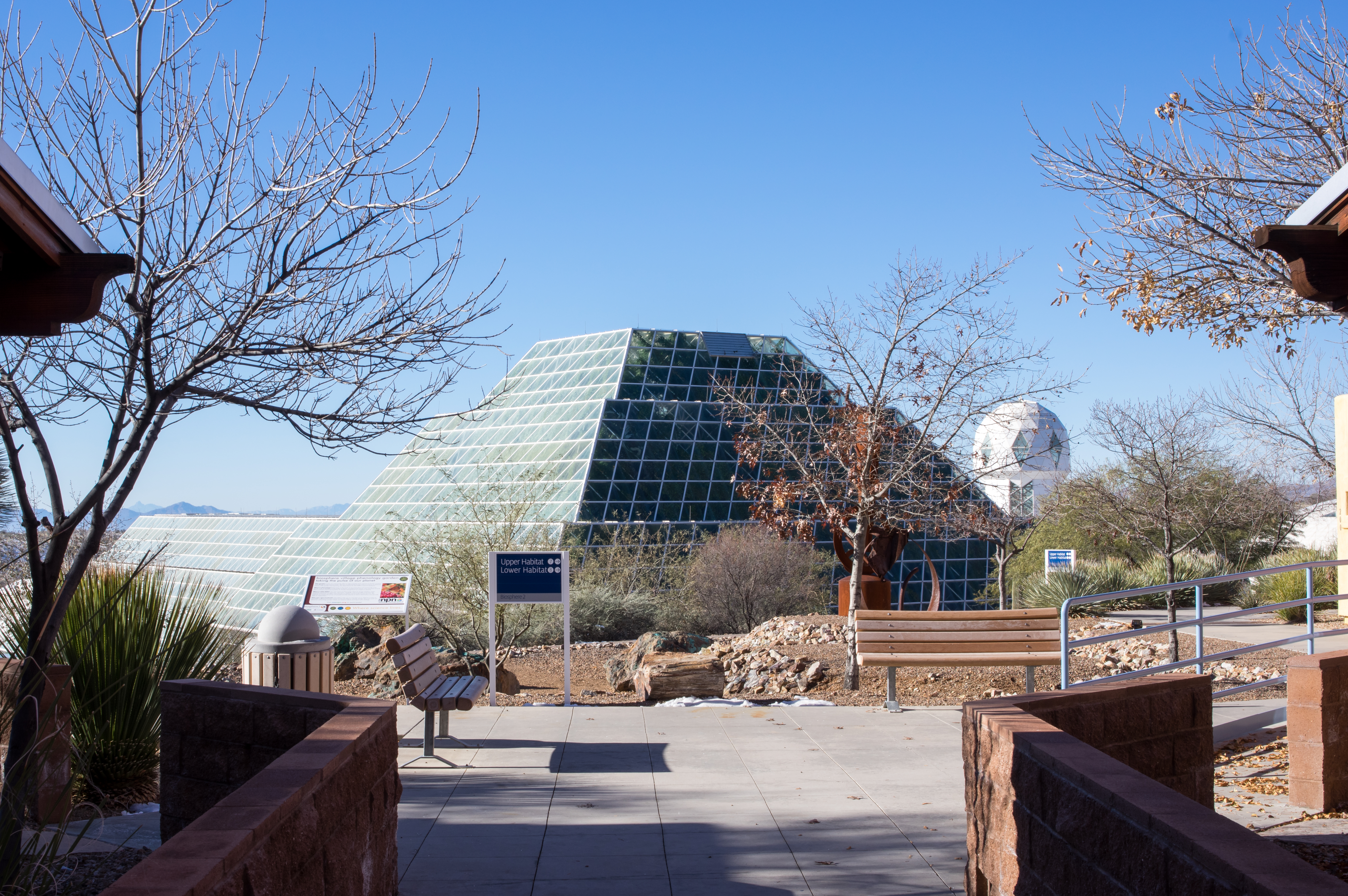
Day-11: Biosphere2_4697d

I Will Remain Forever
San Manuel, AZ
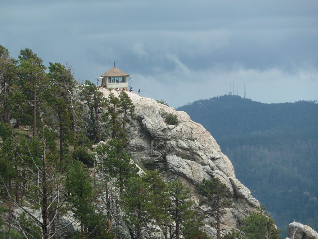
standing watch
Oracle, AZ
Biosphere 2 Bio-luminescent too?

Tiger Copper Mine, Mammoth, AZ
Room with a view - the AZ desert at Mirival
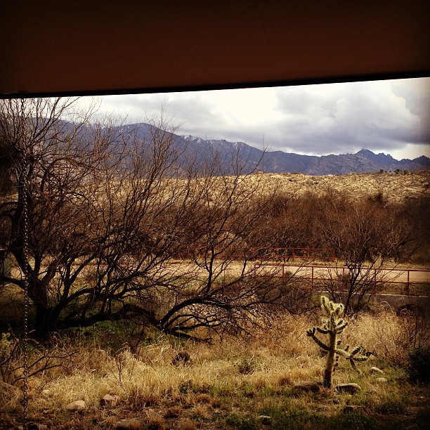
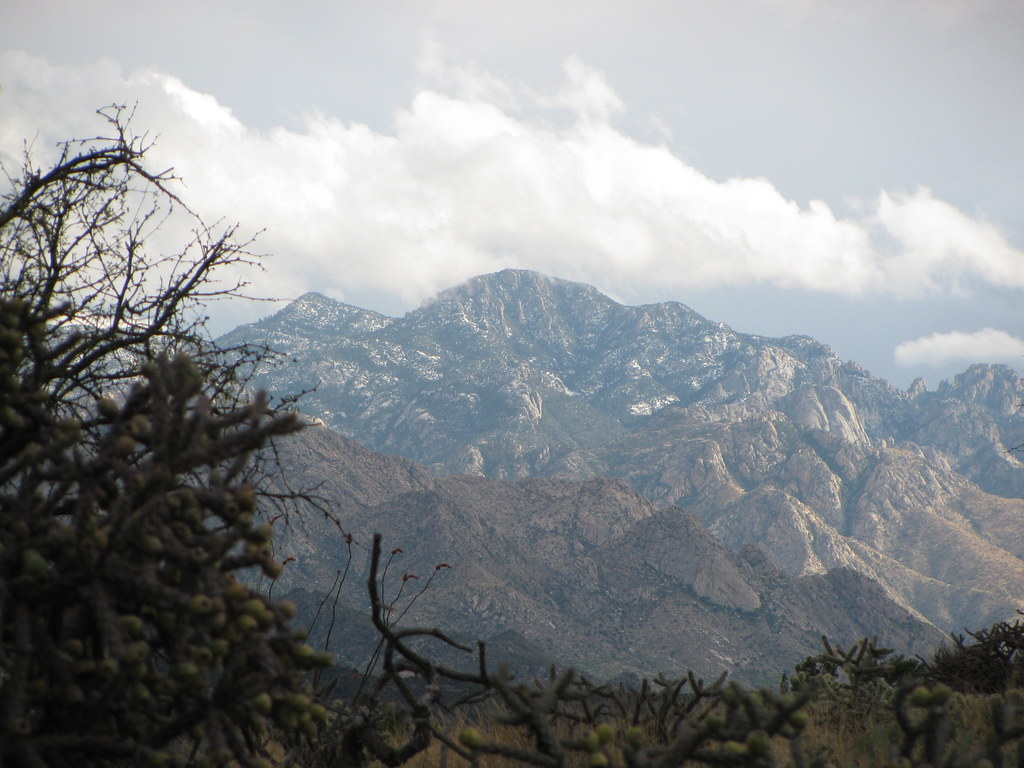
View Of Desert From Biosphere 2
First Views 2

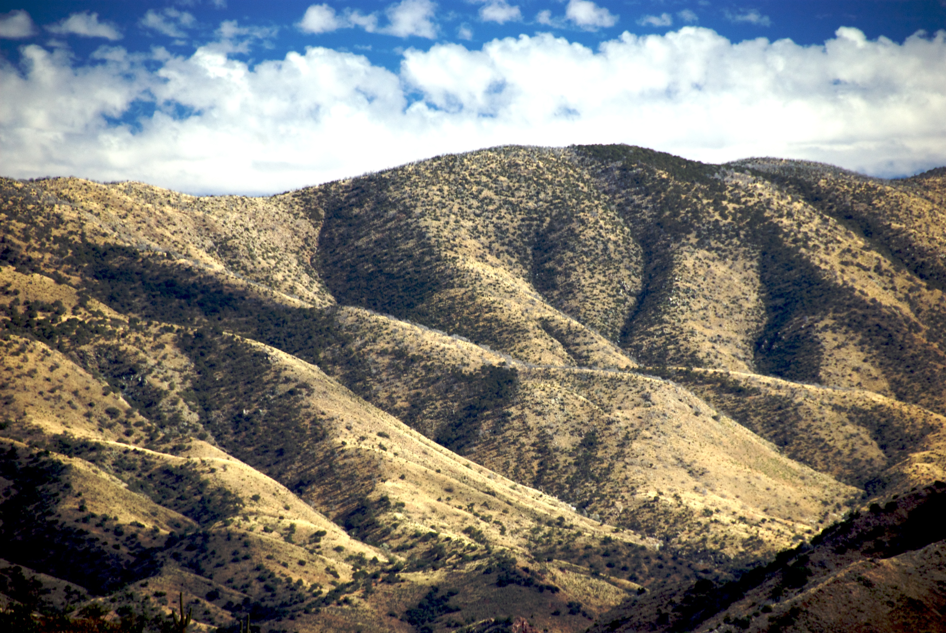
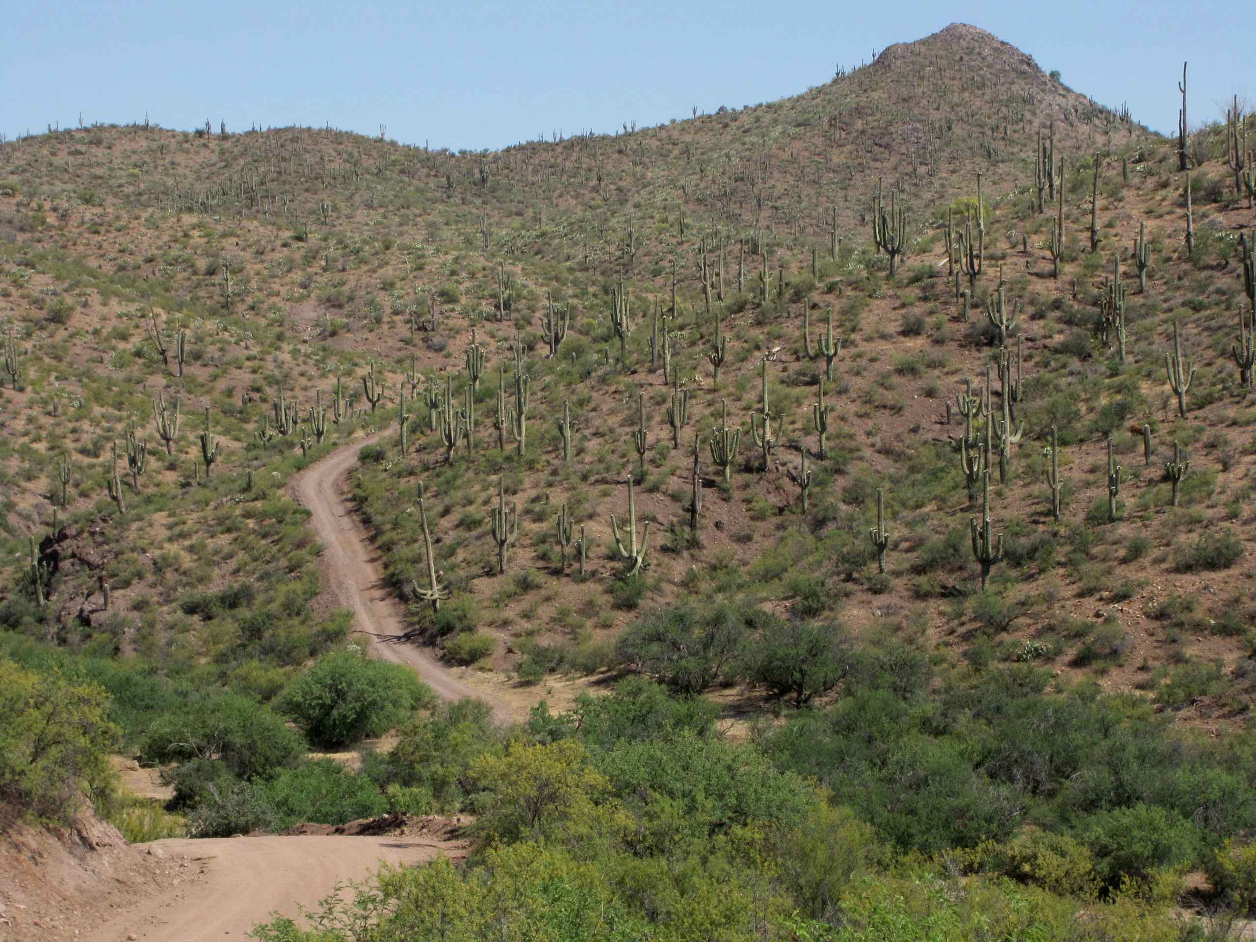
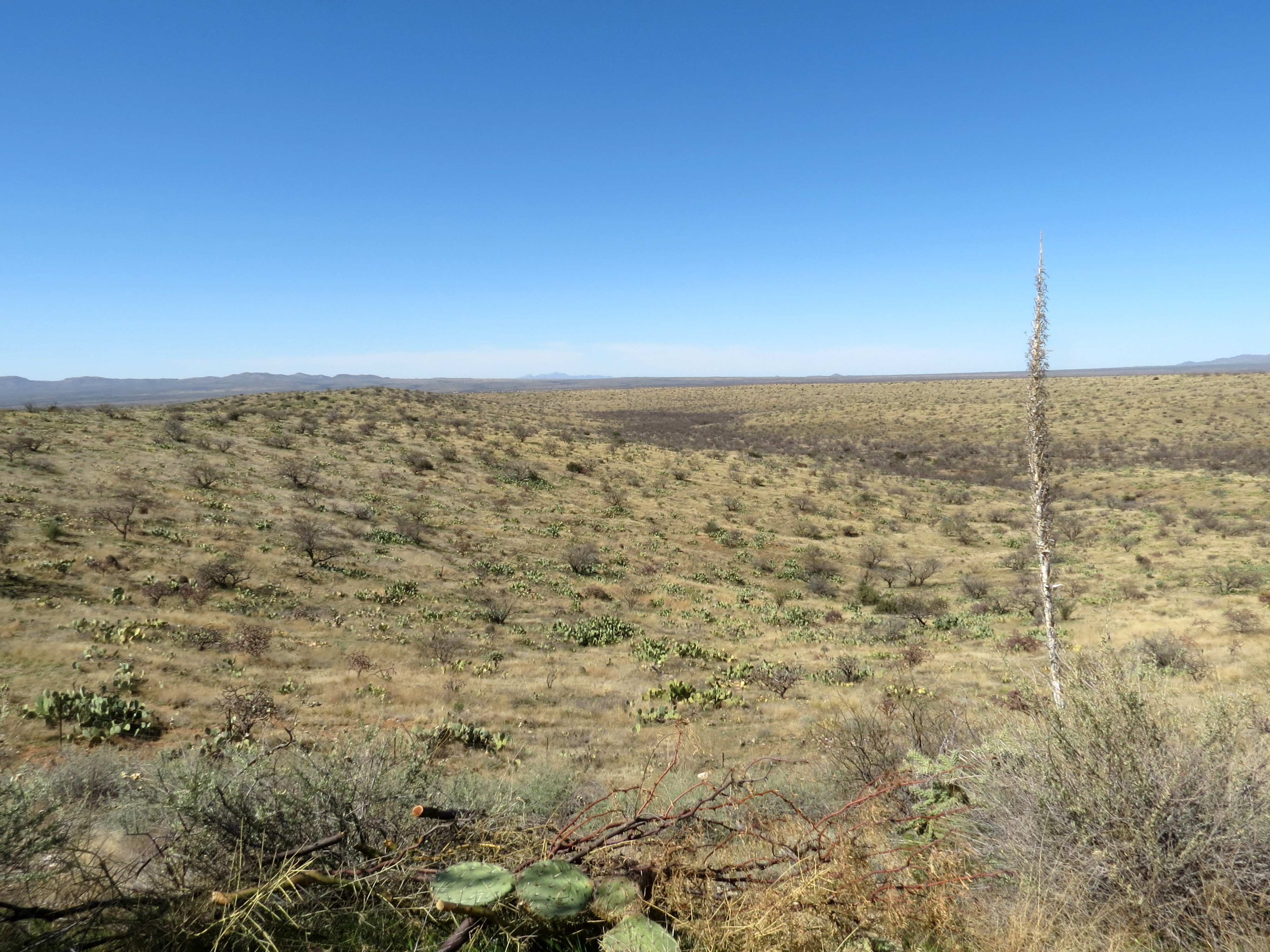
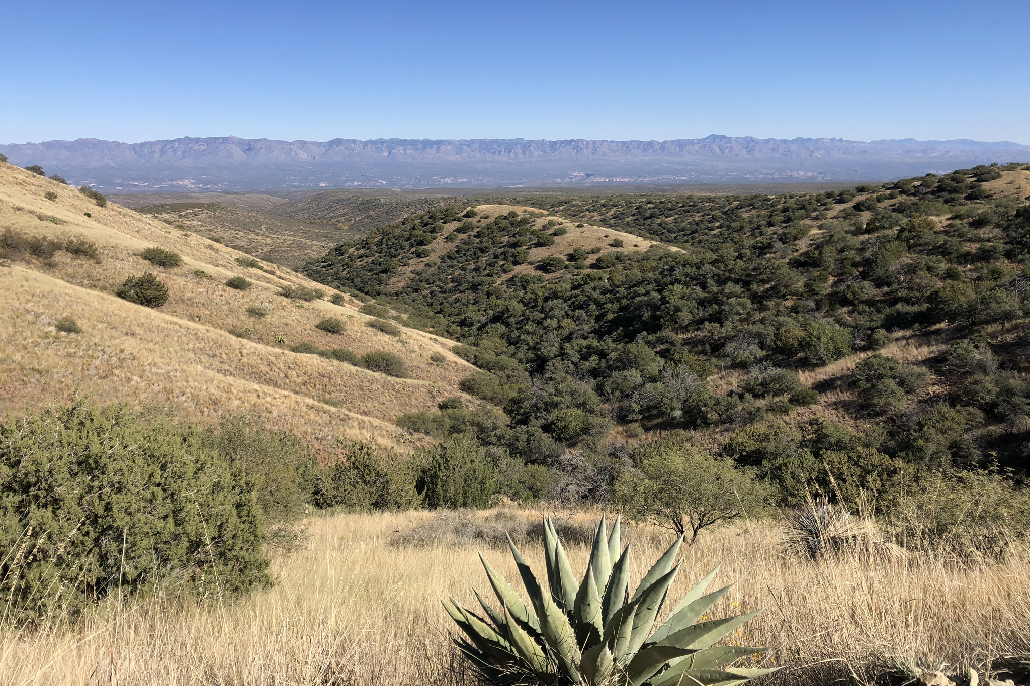
The View Towards Copper Hill and Margaret Wash
View of side jeep trail which goes to Pearl Mine from Tucson Wash road, W of Mammoth, AZ
1305 North Ridges

The View
First Views

Courtyard view
View north from the ridge above Biosphere 2
View toward the San Pedro River

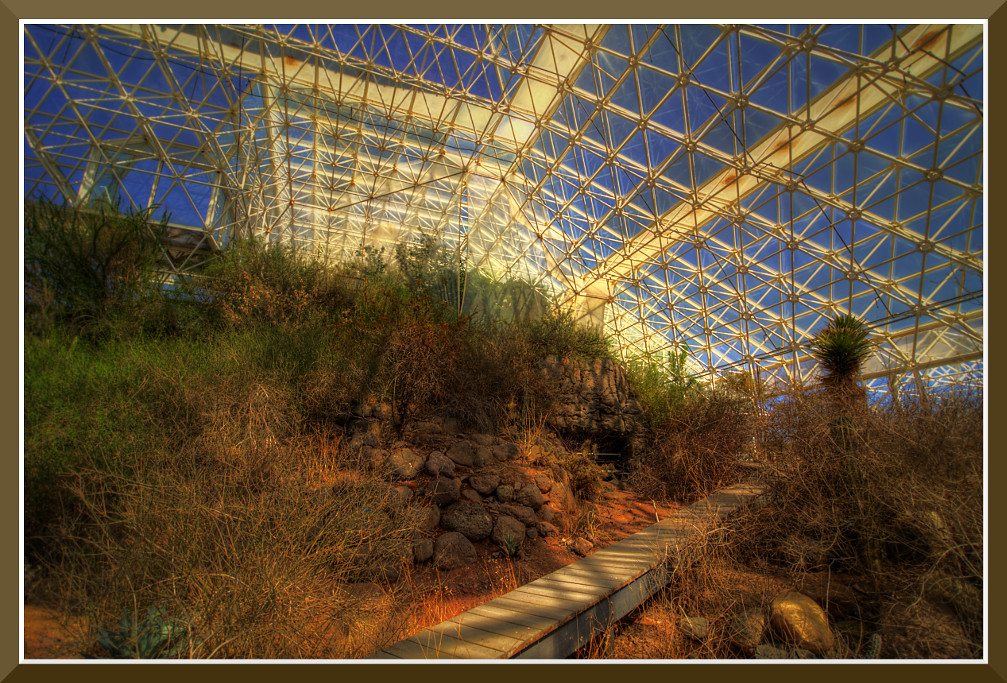
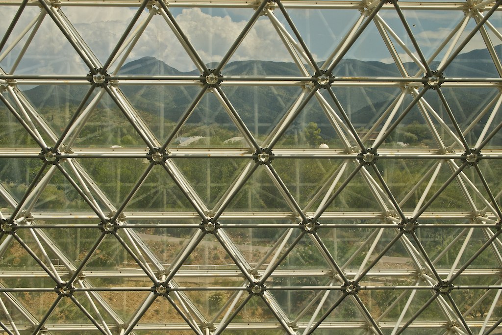
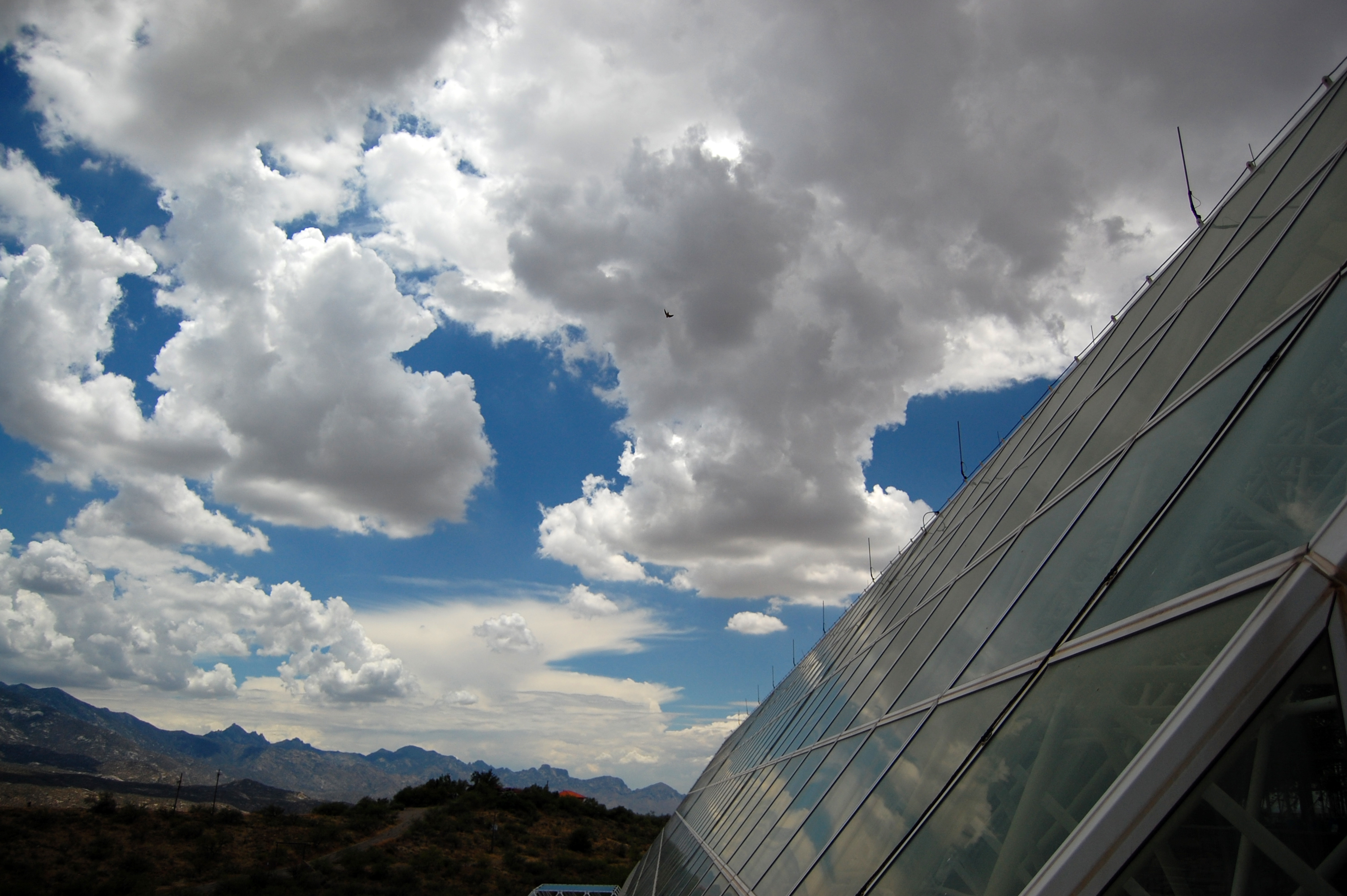
View from inside Biosphere 2
biosphere2_ 019
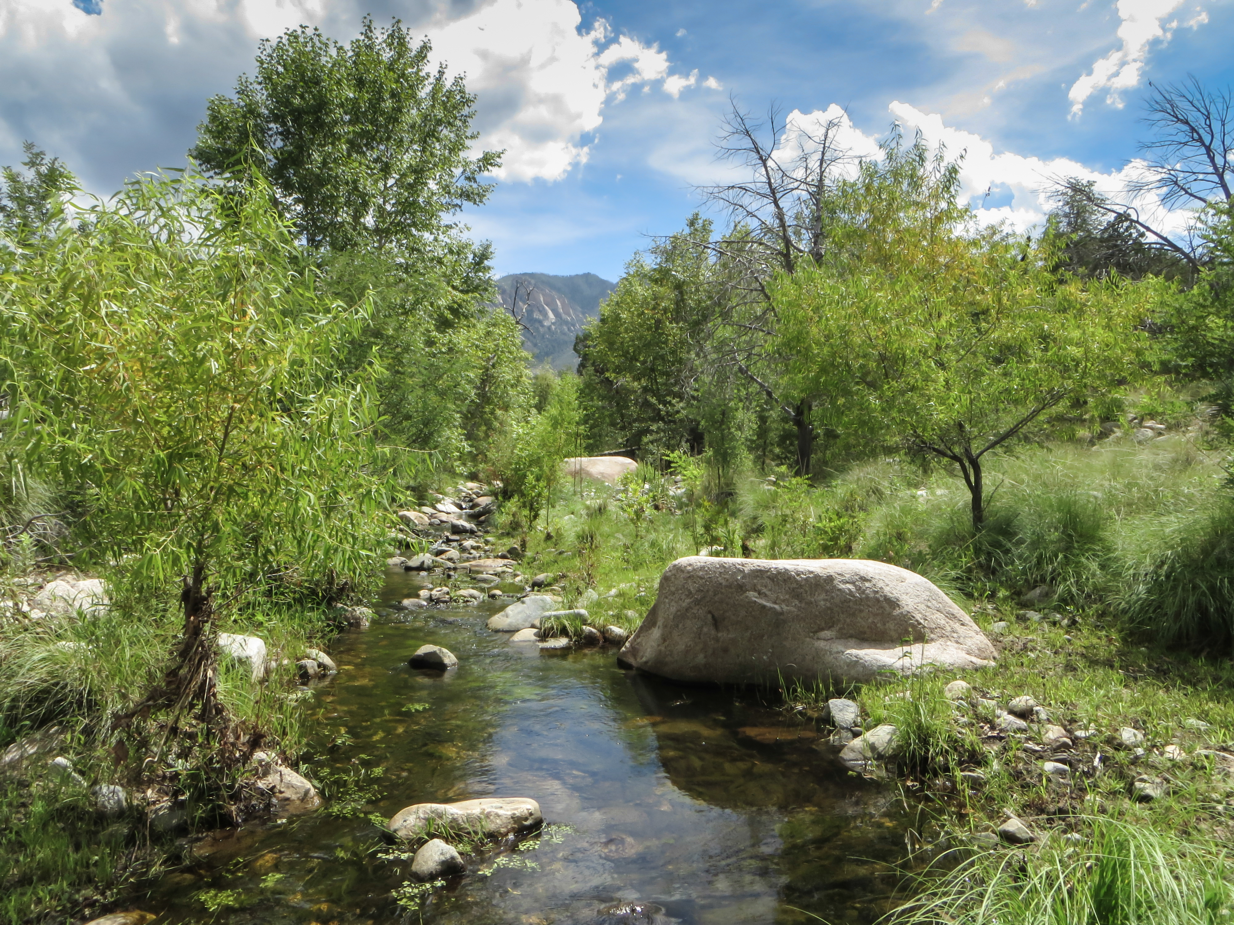
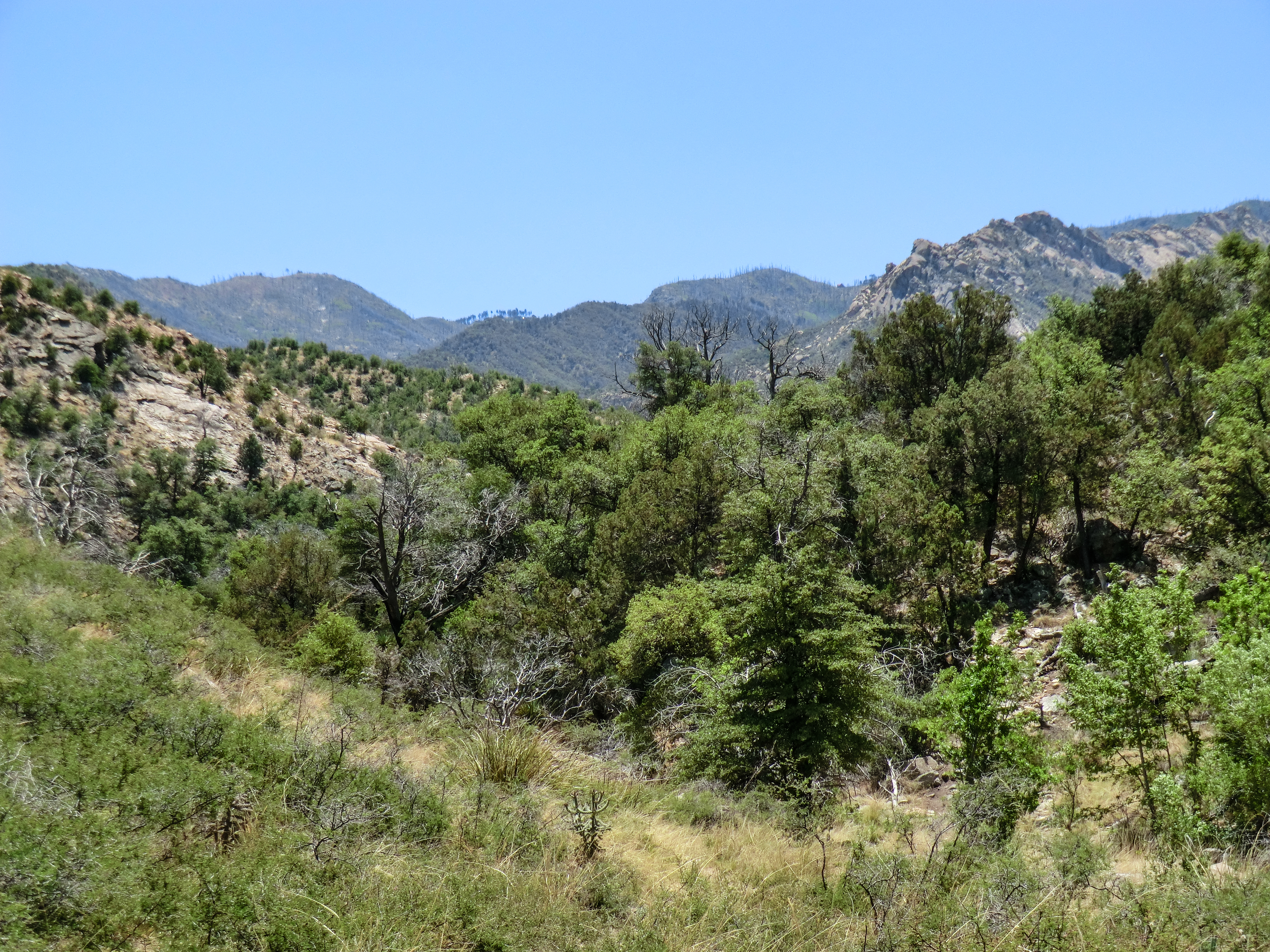
1308 Looking up the Canada del Oro
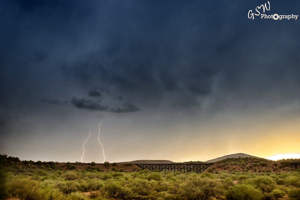
Daytime Lightning

biosphere2 greenhouse

Biosphere Sunset 2

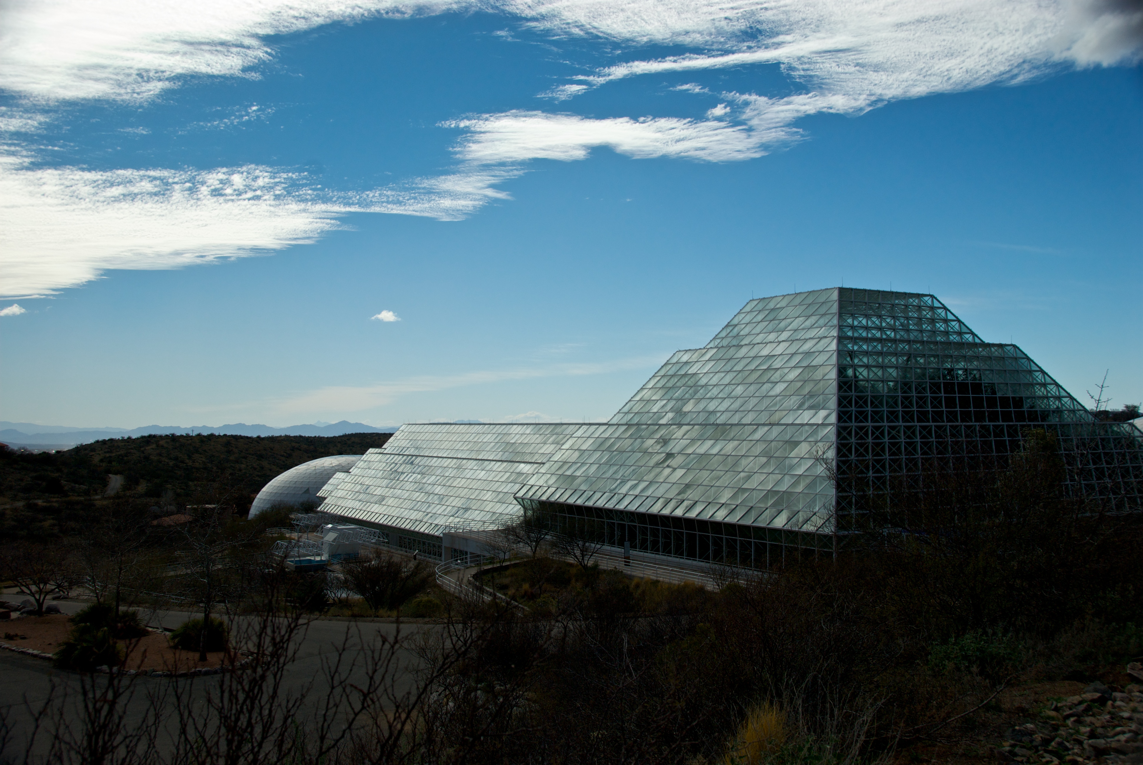
Biosphere 2
Old Sunset

Winter Storm Clouds Over Mt Lemmon, Arizona
_MG_0560-Edit.jpg

Biosphere II_4721
Pointing at the Sky

IMG_0200.JPG
miraval.arizona
IMG_0199.JPG
Biosphere II_4731

lanterns in the trees
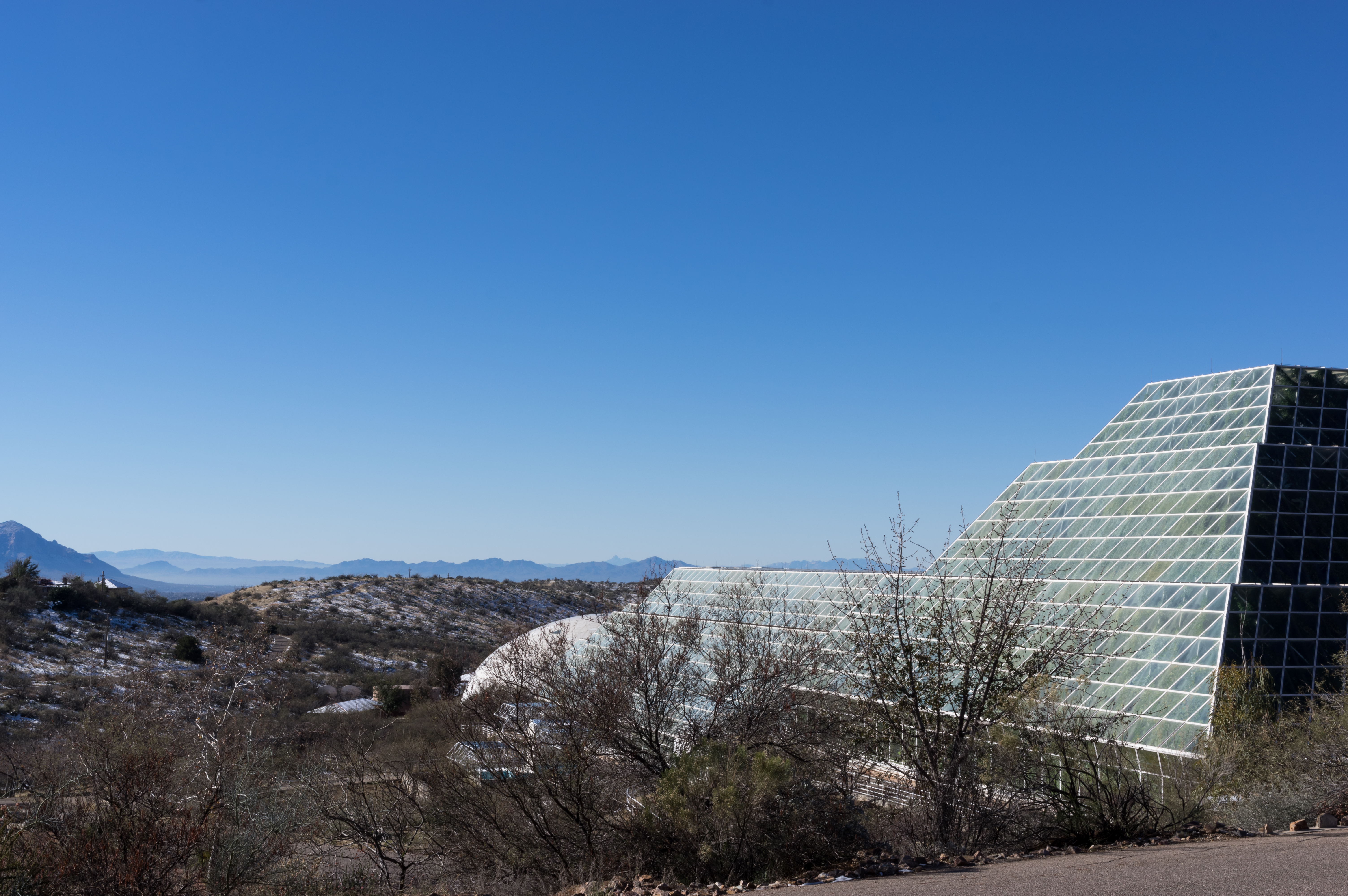
Outside Of Biosphere 2

Sunset near Oracle Junction, AZ, July 27, 2014
Topographic Map of W Linda Vista Rd, Oracle, AZ, USA
Find elevation by address:

Places near W Linda Vista Rd, Oracle, AZ, USA:
910 W La Osa St
West Neal Street
La Mariposa Street
The Oracle Patio Cafe And Market
Oracle
545 N Bonito Dr
755 N Church Dr
1605 N Calle Coruna
Triangle L Ranch Bed And Breakfast
1565 N Calle Valencia
333 N John Adams St
500 N Cody Loop Rd
West Oro Creek Drive
S Biosphere Rd, Tucson, AZ, USA
66701 E Sundance Pl
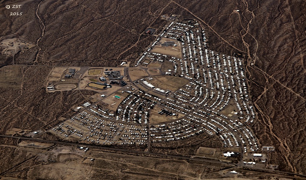
The Preserve At Saddlebrooke
36582 S Ocotillo Canyon Dr
35927 S Wind Crest Dr
65688 E Mesa Ridge Ct
65833 E Rose Crest Dr
Recent Searches:
- Elevation of Congressional Dr, Stevensville, MD, USA
- Elevation of Bellview Rd, McLean, VA, USA
- Elevation of Stage Island Rd, Chatham, MA, USA
- Elevation of Shibuya Scramble Crossing, 21 Udagawacho, Shibuya City, Tokyo -, Japan
- Elevation of Jadagoniai, Kaunas District Municipality, Lithuania
- Elevation of Pagonija rock, Kranto 7-oji g. 8"N, Kaunas, Lithuania
- Elevation of Co Rd 87, Jamestown, CO, USA
- Elevation of Tenjo, Cundinamarca, Colombia
- Elevation of Côte-des-Neiges, Montreal, QC H4A 3J6, Canada
- Elevation of Bobcat Dr, Helena, MT, USA