Elevation of West Mountain, Colorado, USA
Location: United States > Colorado > Durango >
Longitude: -107.59978
Latitude: 37.4502792
Elevation: 3511m / 11519feet
Barometric Pressure: 66KPa
Elevation Map:
Satellite Map:
Related Photos:
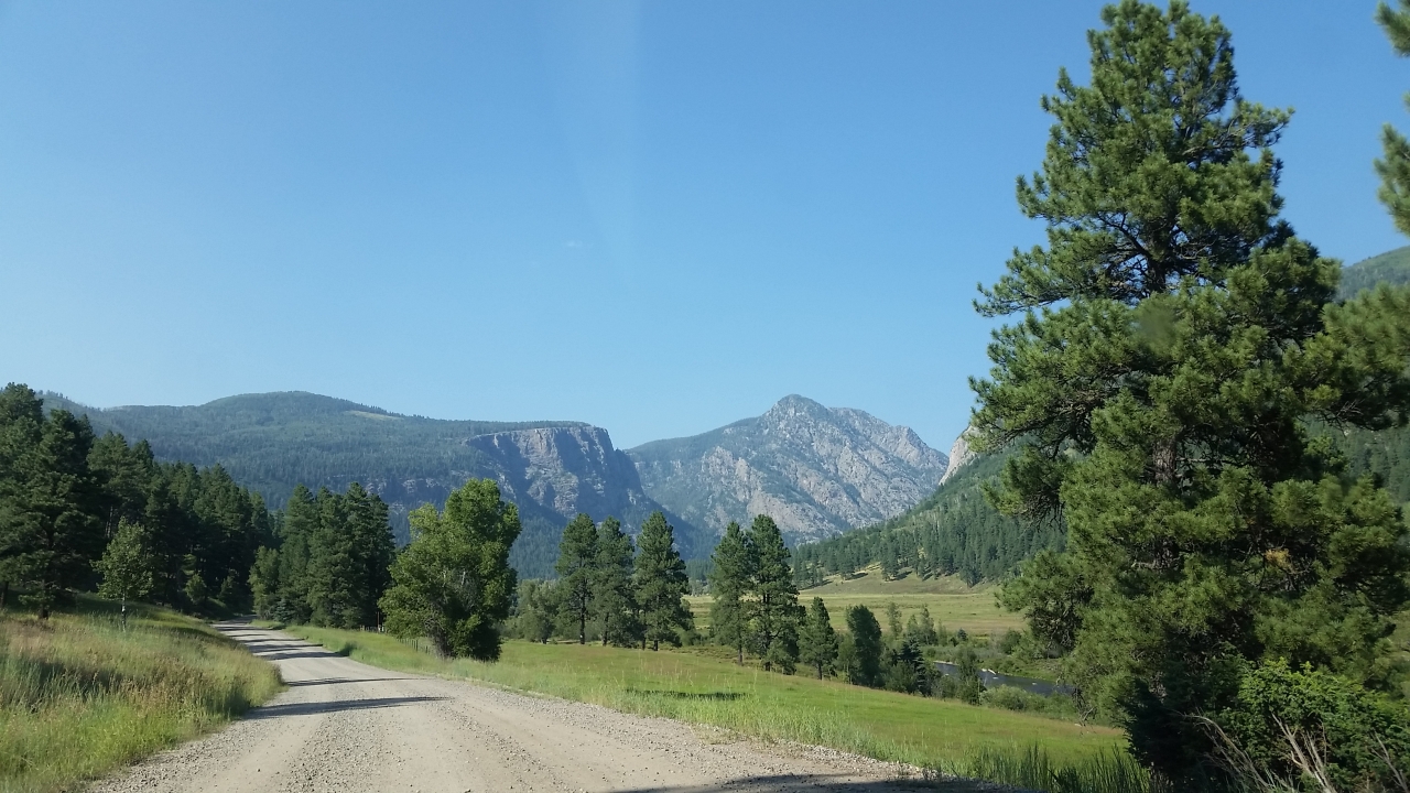
5844 View from Route 501 of the Pine River Valley as I drive the car back to the Pine River Campground
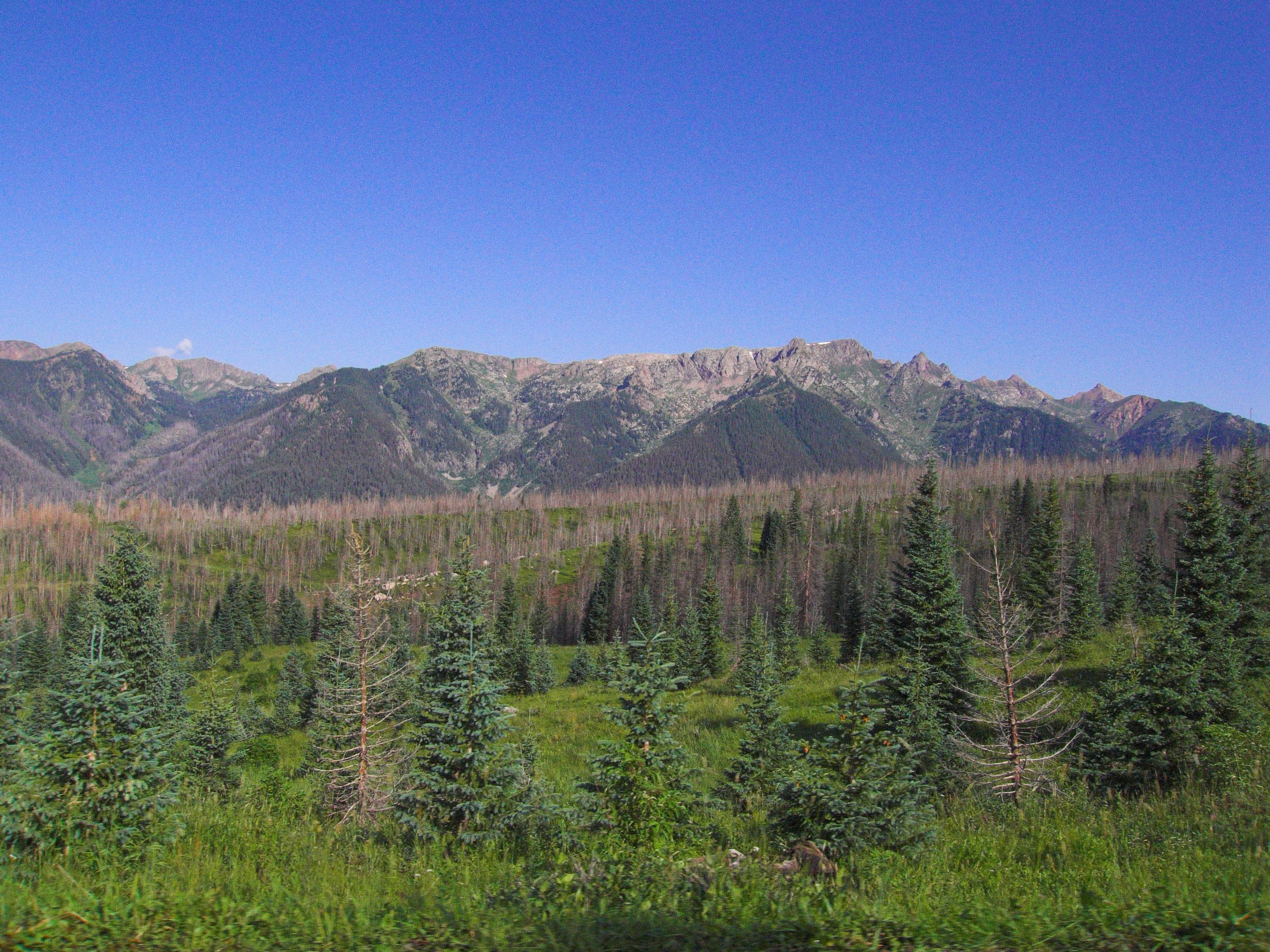
Middle Mountain Road
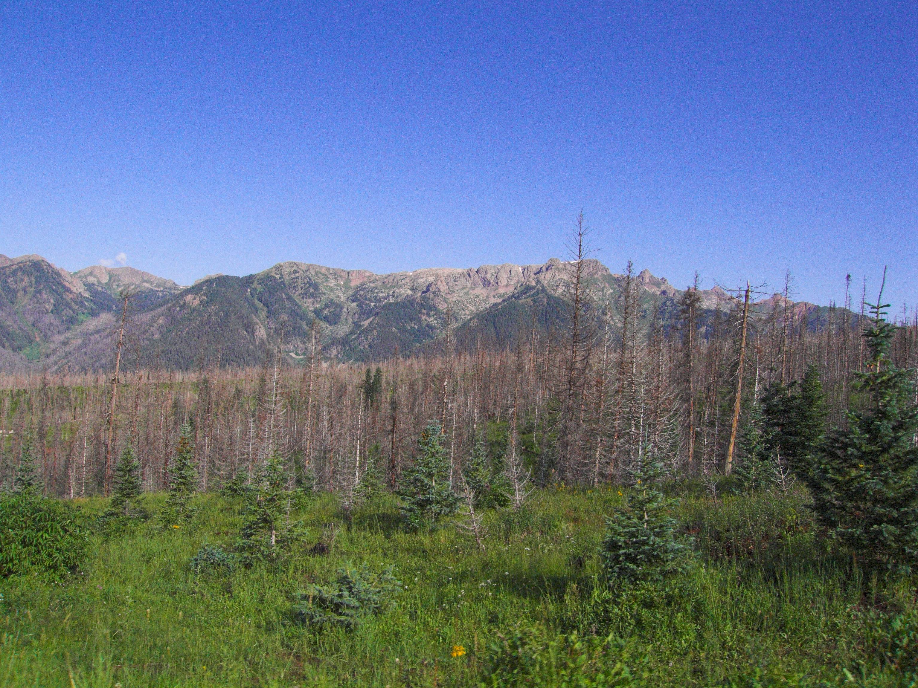
Middle Mountain Road
Topographic Map of West Mountain, Colorado, USA
Find elevation by address:

Places near West Mountain, Colorado, USA:
Endlich Mesa
Florida Campground
Sheridan Mountain
Overlook Point
13492 Co Rd 250
1580 Glacier Club Dr
62 Crocus Ct
Glacier Club
Glacier Club Drive
665 Glacier Club Dr
314 N Tamarron Dr
Durango, CO, USA
365 Tamarron Dr
73 Tamarron Dr
212 Tamarron Dr
314 Tamarron Dr
Tamarron Drive
Haviland Lake Campground
163 Peregrine Dr
275 Electra Lake Rd
Recent Searches:
- Elevation of Corso Fratelli Cairoli, 35, Macerata MC, Italy
- Elevation of Tallevast Rd, Sarasota, FL, USA
- Elevation of 4th St E, Sonoma, CA, USA
- Elevation of Black Hollow Rd, Pennsdale, PA, USA
- Elevation of Oakland Ave, Williamsport, PA, USA
- Elevation of Pedrógão Grande, Portugal
- Elevation of Klee Dr, Martinsburg, WV, USA
- Elevation of Via Roma, Pieranica CR, Italy
- Elevation of Tavkvetili Mountain, Georgia
- Elevation of Hartfords Bluff Cir, Mt Pleasant, SC, USA