Elevation of Endlich Mesa, Colorado, USA
Location: United States > Colorado > Bayfield >
Longitude: -107.59728
Latitude: 37.5141672
Elevation: 3794m / 12447feet
Barometric Pressure: 63KPa
Elevation Map:
Satellite Map:
Related Photos:

second train from Silverton

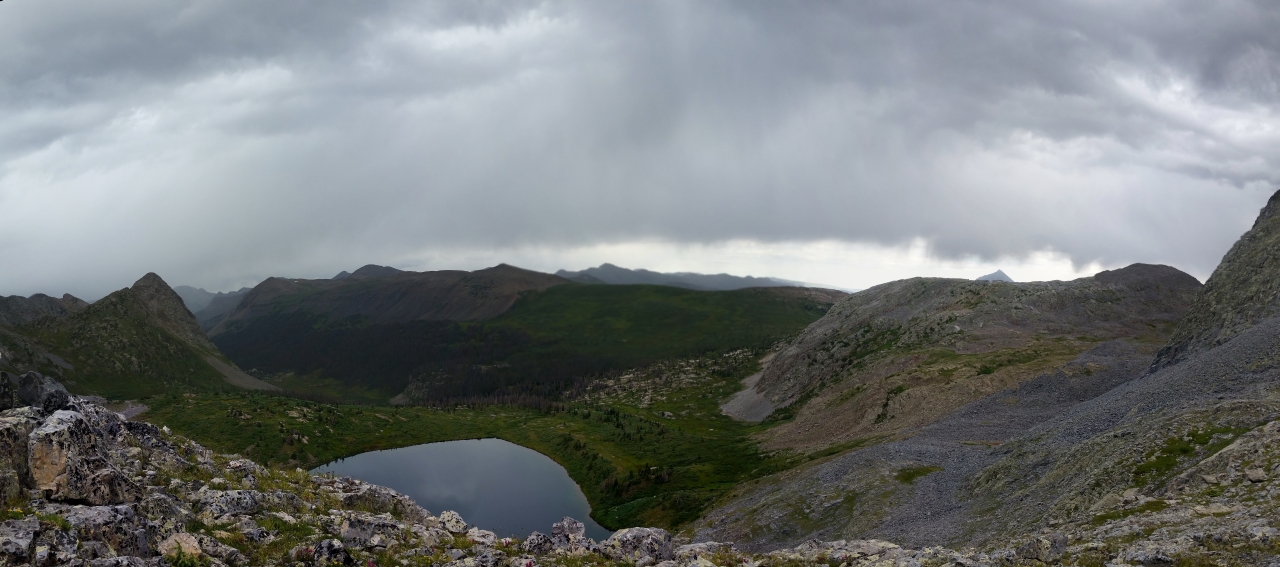
Grandiose view of the storm
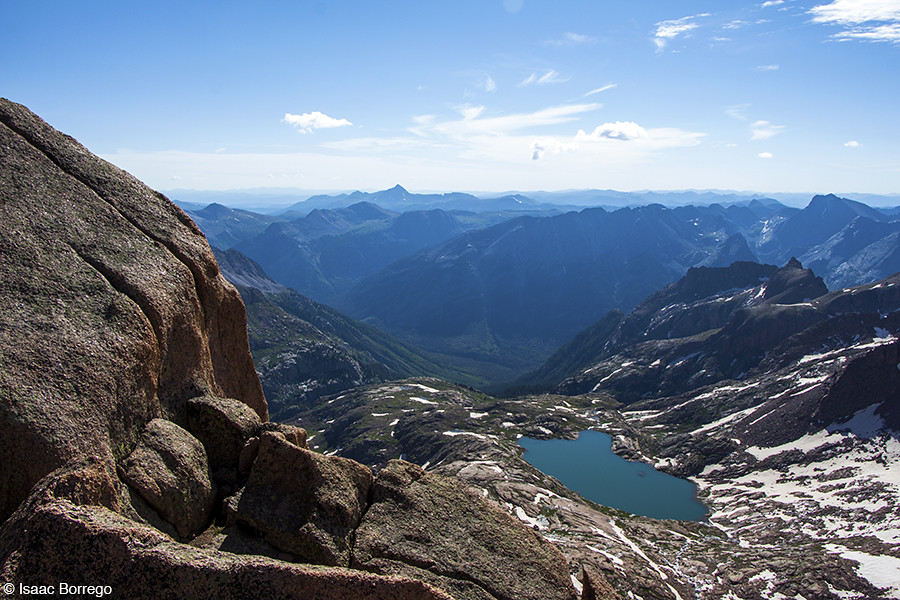
View from Sunlight
View to Sunlight and Windom
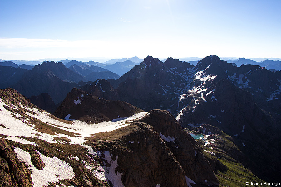
View from Windom Peak

run-by near mile post 491
4966 View from the pass above Rock Lake on the old Half Moon Trail to Moon Lakes, elevation 12,500 feet

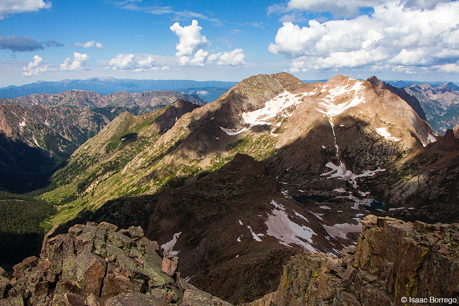
3946 Zoomed-in view of The Guardian (elevation 13617 feet) from the Vallecito Creek Trail near Leviathan Creek

3955 Zoomed-in view of Peak 13995 and Sunlight Peak (14059 feet) from the Vallecito Creek Trail

4964 View south over the pass above Rock Lake on the old Half Moon Trail to Moon Lakes
5070 We get our first view of Moon Lake as we descend on the Half Moon Trail
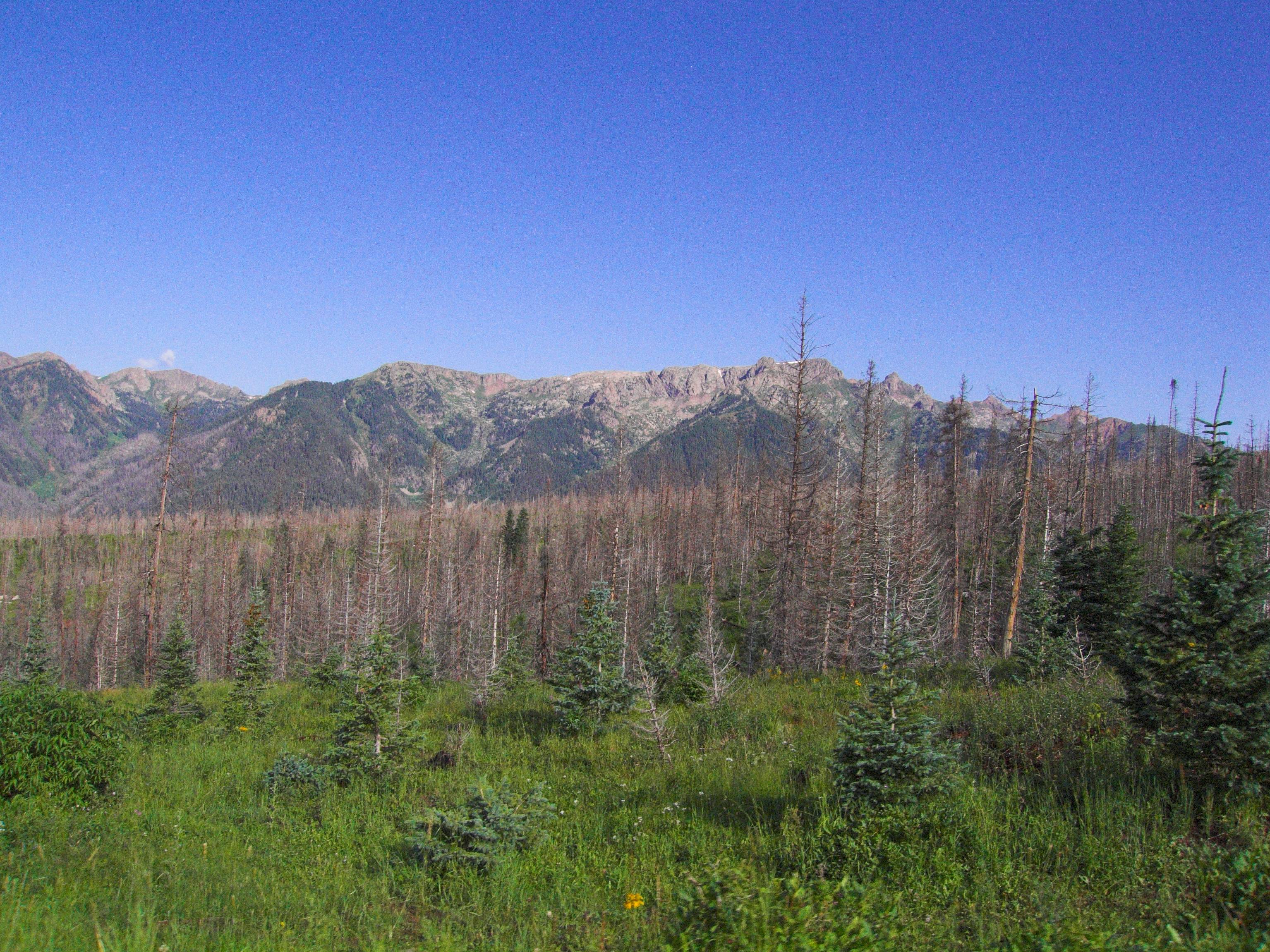
5844 View from Route 501 of the Pine River Valley as I drive the car back to the Pine River Campground
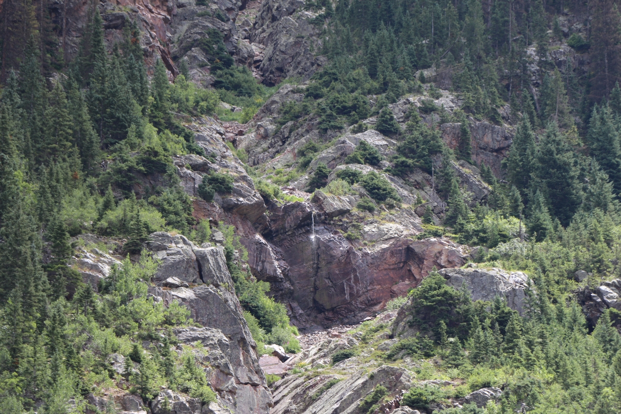
3992 Zoomed-in view of a tiny waterfall below Peak 12995 from the Vallecito Creek Trail

5389 Our first view of Emerald Lake from the Emerald Lake Trail at the border of the 'No Camping' zone
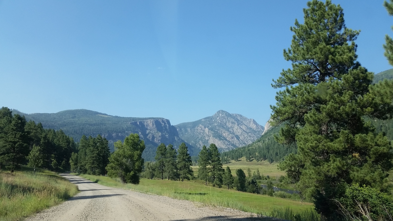
Middle Mountain Road
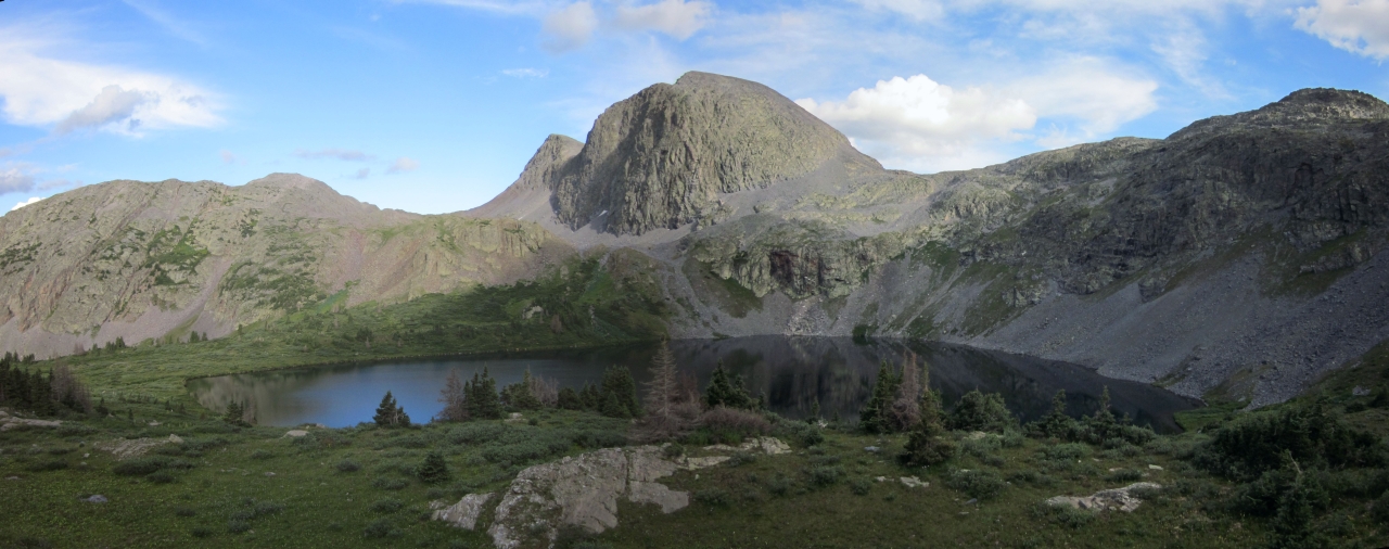
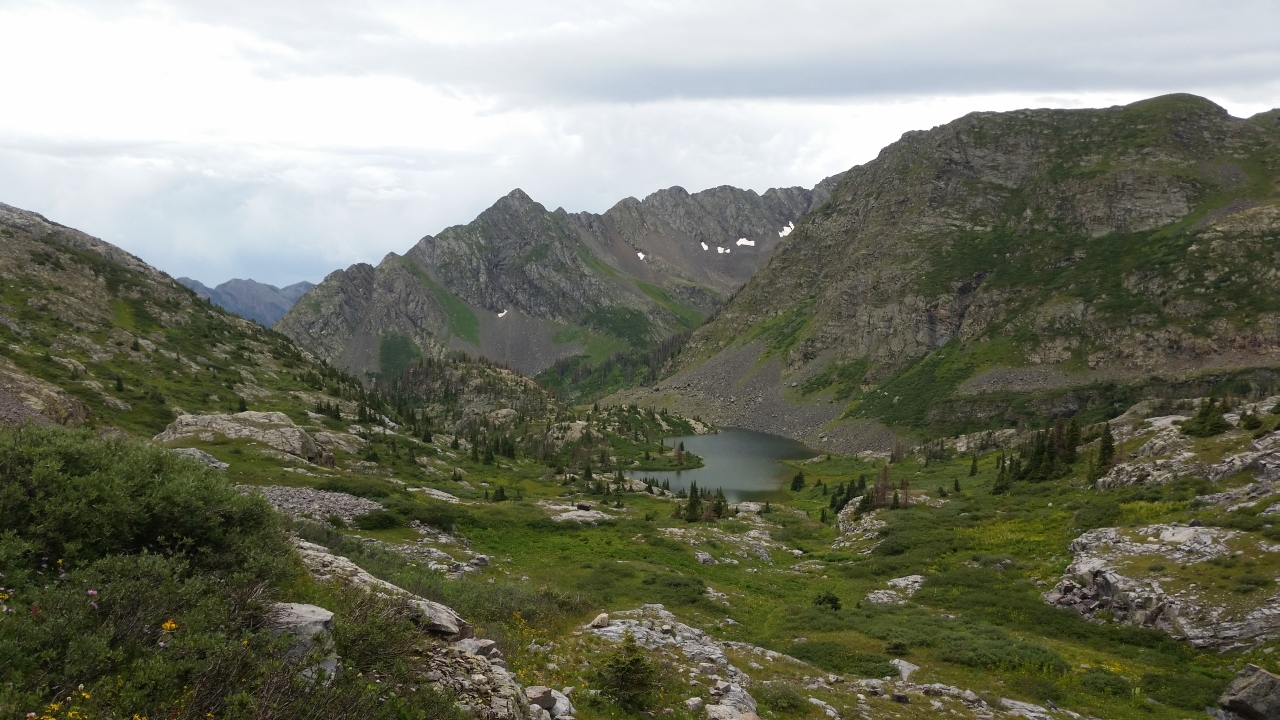
4819 Panorama view of Rock Lake from the ridge above it to the west
Middle Mountain Road
Topographic Map of Endlich Mesa, Colorado, USA
Find elevation by address:

Places near Endlich Mesa, Colorado, USA:
Sheridan Mountain
West Mountain
Overlook Point
Florida Campground
1580 Glacier Club Dr
Haviland Lake Campground
Glacier Club
Glacier Club Drive
665 Glacier Club Dr
62 Crocus Ct
314 N Tamarron Dr
13492 Co Rd 250
Durango, CO, USA
314 Tamarron Dr
163 Peregrine Dr
365 Tamarron Dr
73 Tamarron Dr
212 Tamarron Dr
Tamarron Drive
2119 Lake Purgatory Dr
Recent Searches:
- Elevation of Corso Fratelli Cairoli, 35, Macerata MC, Italy
- Elevation of Tallevast Rd, Sarasota, FL, USA
- Elevation of 4th St E, Sonoma, CA, USA
- Elevation of Black Hollow Rd, Pennsdale, PA, USA
- Elevation of Oakland Ave, Williamsport, PA, USA
- Elevation of Pedrógão Grande, Portugal
- Elevation of Klee Dr, Martinsburg, WV, USA
- Elevation of Via Roma, Pieranica CR, Italy
- Elevation of Tavkvetili Mountain, Georgia
- Elevation of Hartfords Bluff Cir, Mt Pleasant, SC, USA