Elevation of West Harrison, IN, USA
Location: United States > Indiana > Dearborn County > Harrison Township >
Longitude: -84.820784
Latitude: 39.2608881
Elevation: 158m / 518feet
Barometric Pressure: 99KPa
Elevation Map:
Satellite Map:
Related Photos:
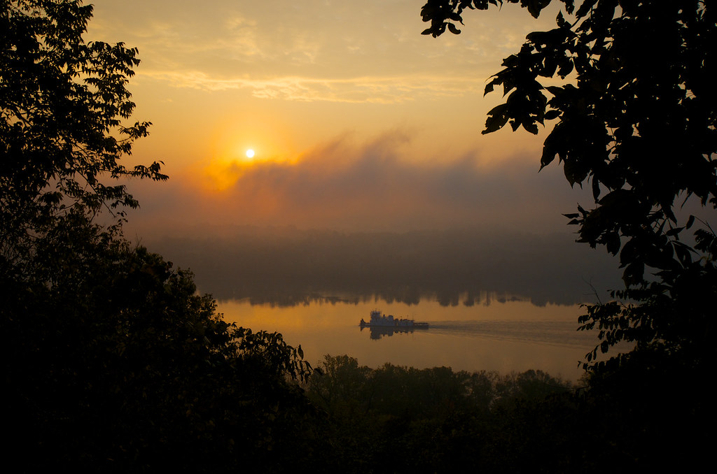
Sunday Morning Sunrise

BALD EAGLES
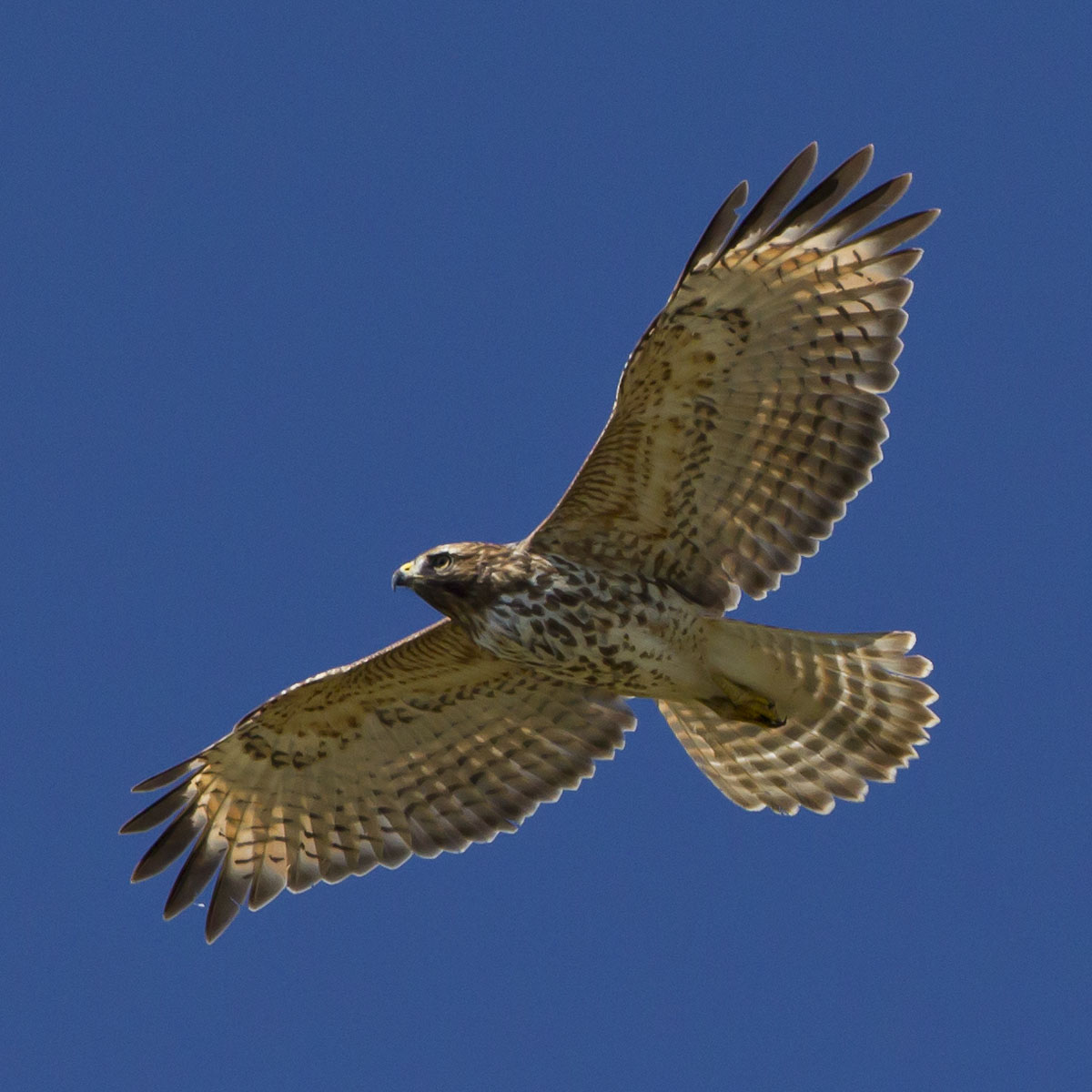
RED-SHOULDERED HAWK
God's art- view on black
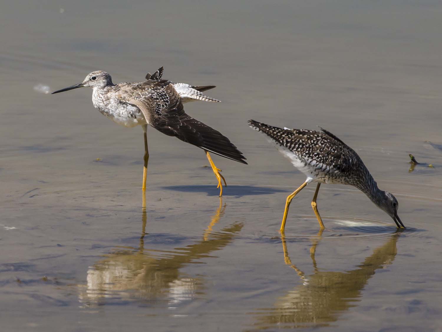
GREATER YELLOWLEGS

RED-SHOULDERED HAWK
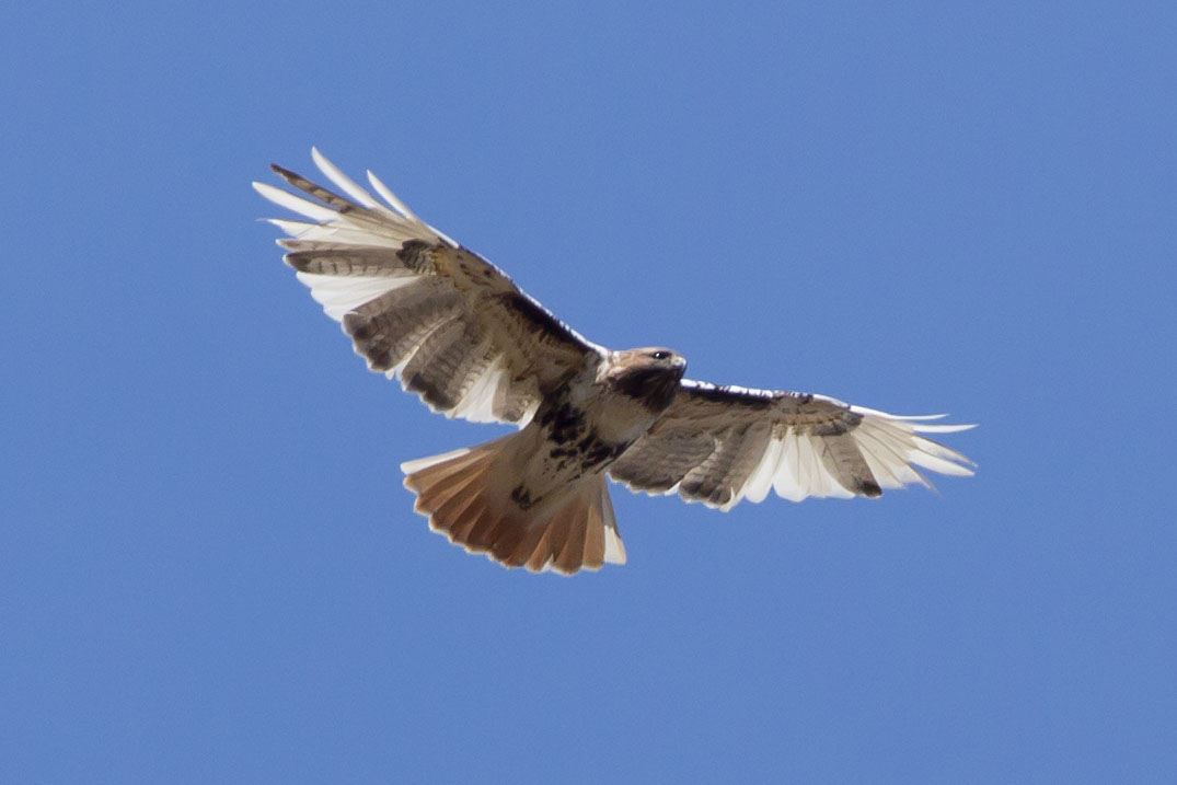
RED-TAILED HAWK -- LEUCISTIC

SNOW BUNTINGS

Light at the end of the tunnel

RED-TAILED HAWK - BOTTOM VIEW
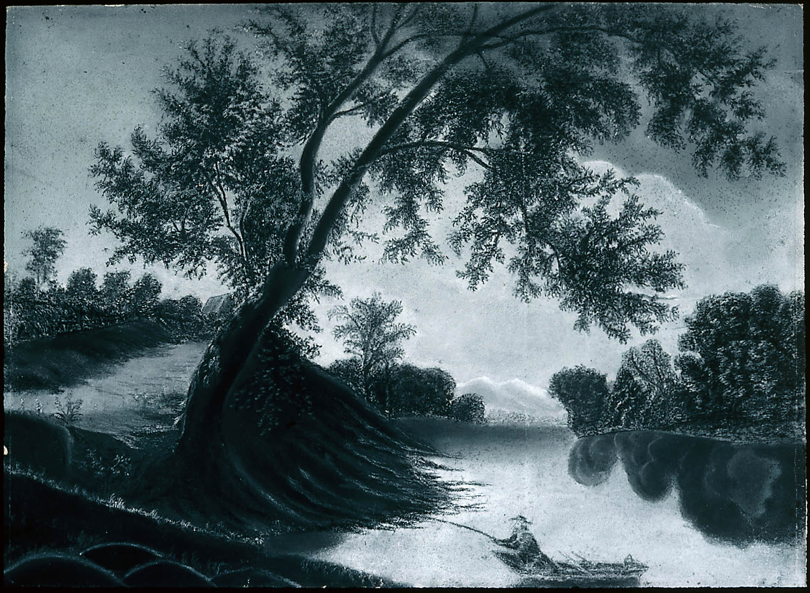
Fisherman on the Harwinton
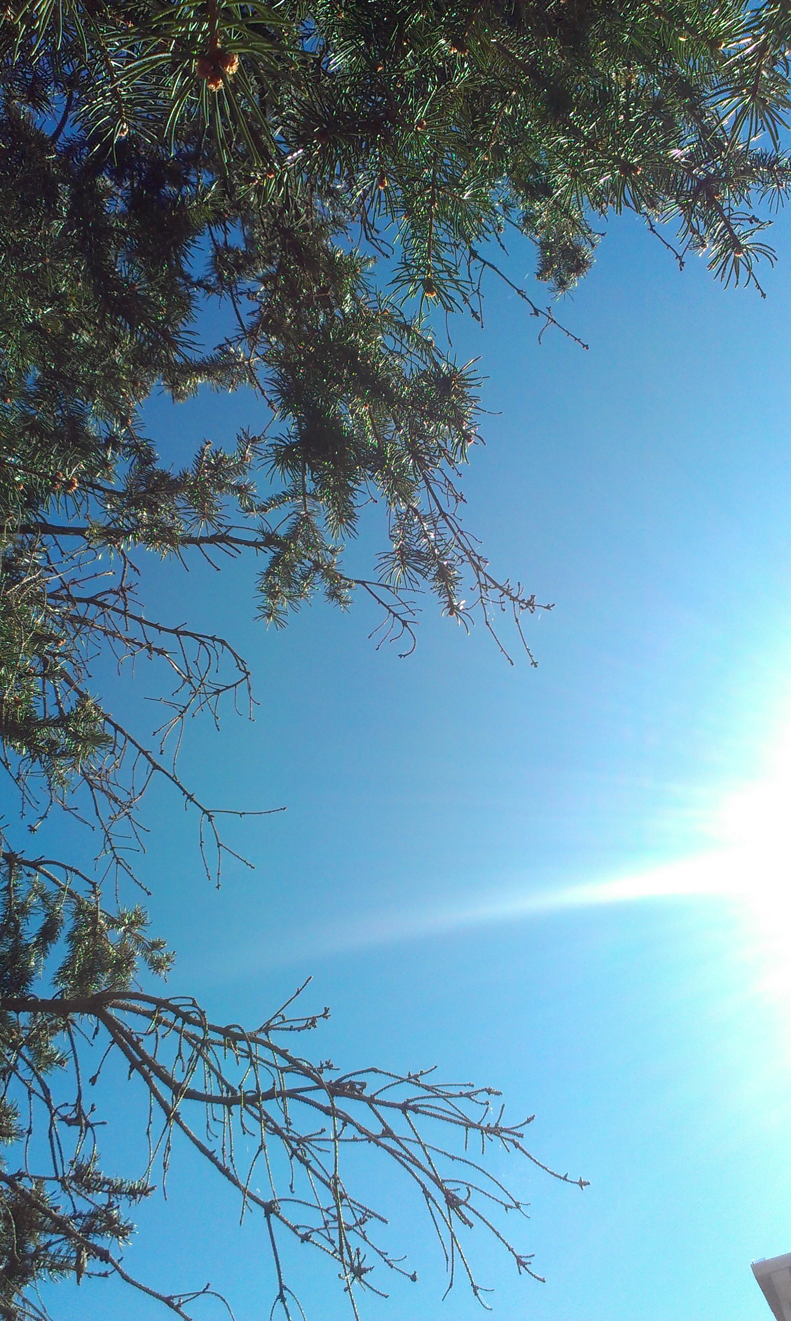
worms eye view

ORANGE SULPHUR - BUTTERFLIES

GREATER YELLOWLEGS
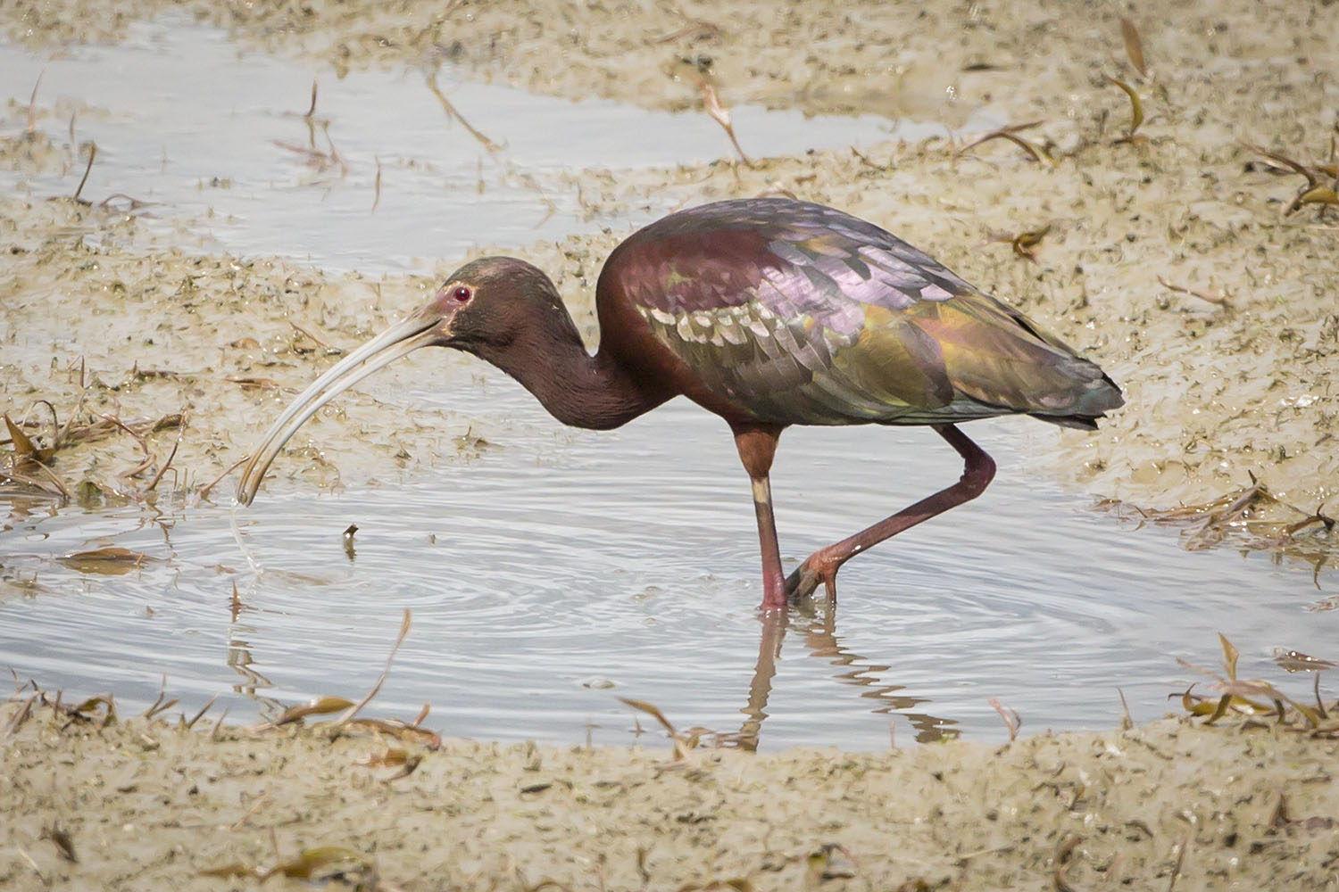
WHITE-FACED IBIS, 5-2-2013

BLACK-CROWNED NIGHT HERON

Worms eye view

SEMIPALMATED SANDPIPERS
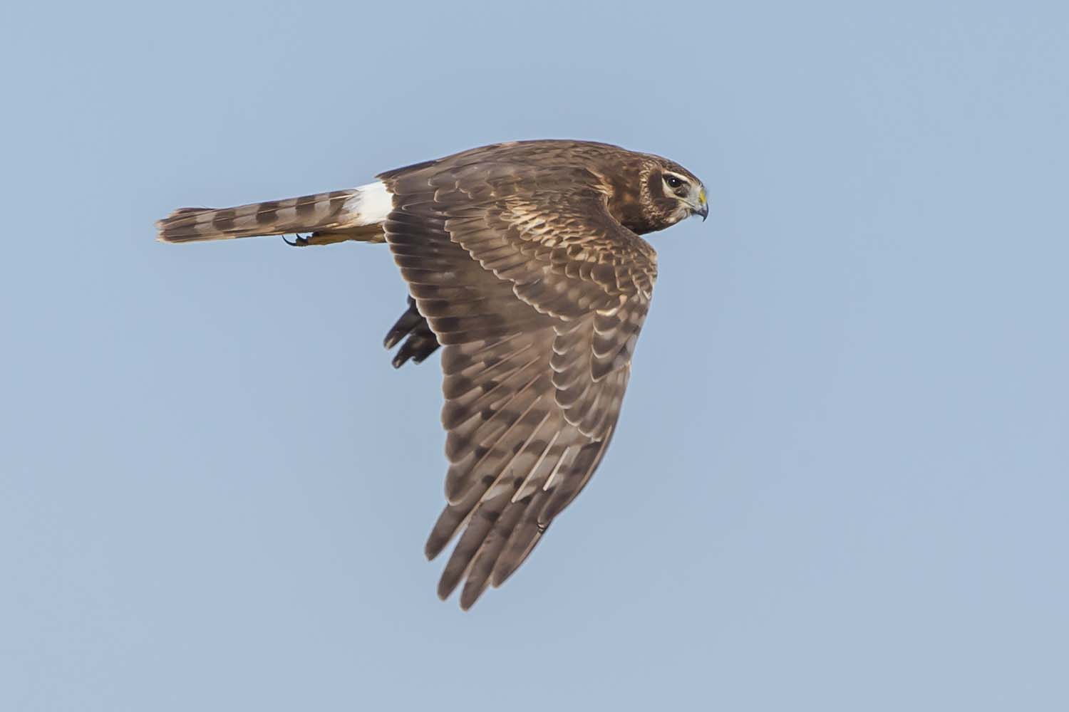
NORTHERN HARRIER
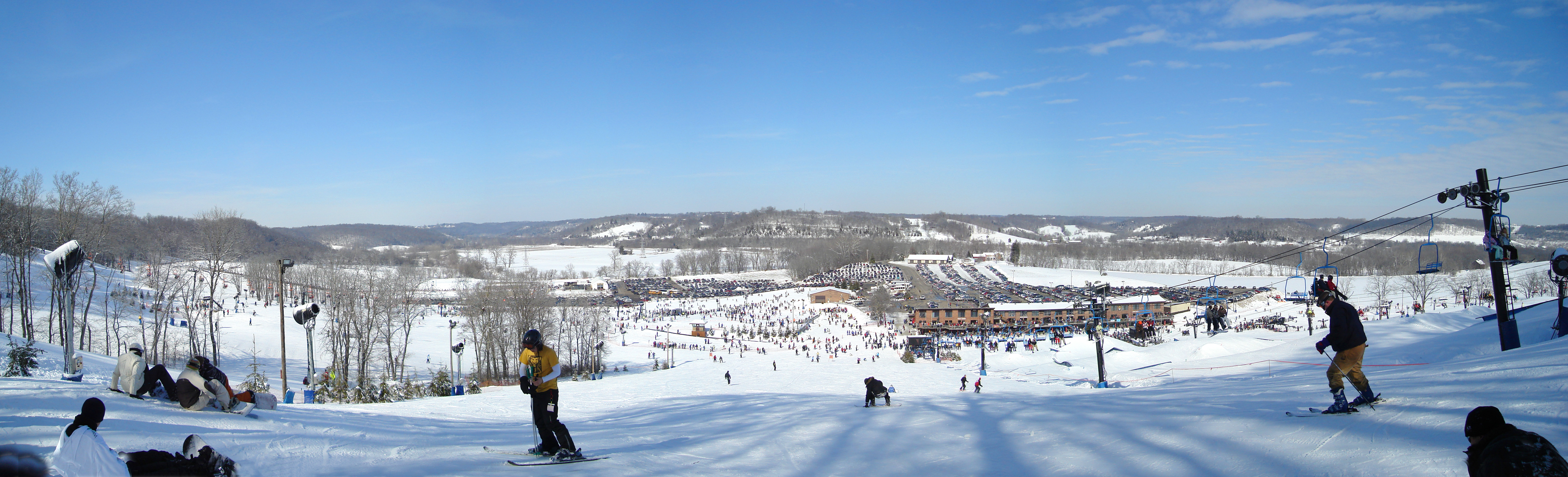
Perfect North Slopes - The Meadow II
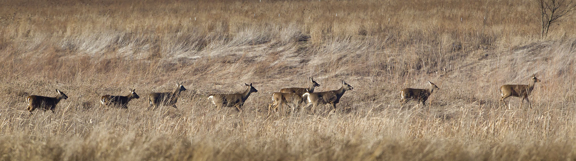
WHITE-TAILED DEER

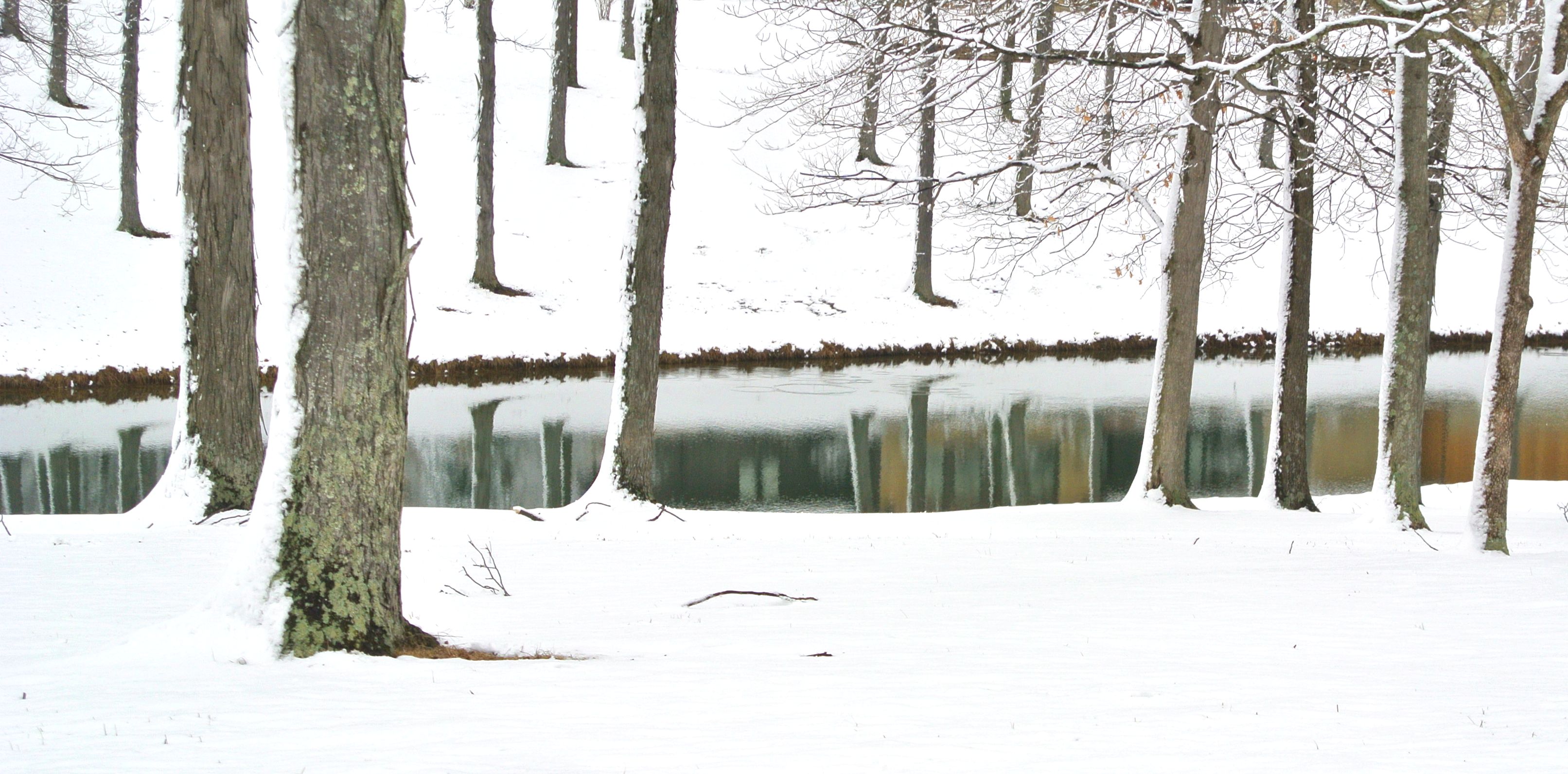
Frozen River -West

Great Miami River

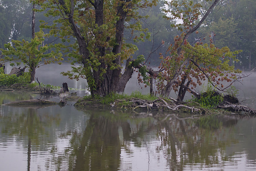
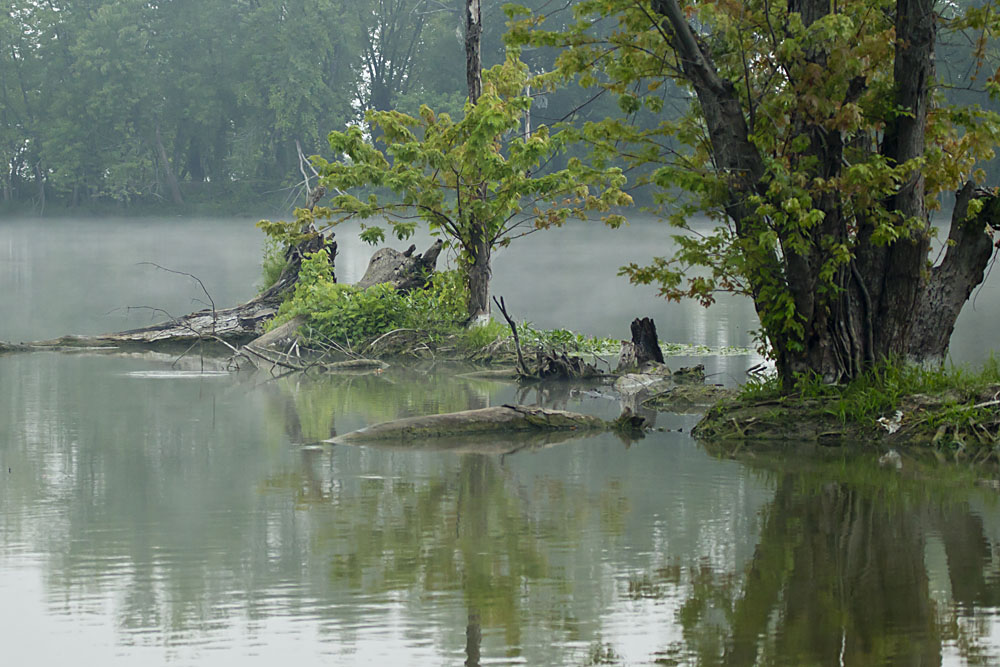
JUNO POND, OXBOW

Blue Grosbeaks(?) in Fernald Preserve

IMG_9587.JPG
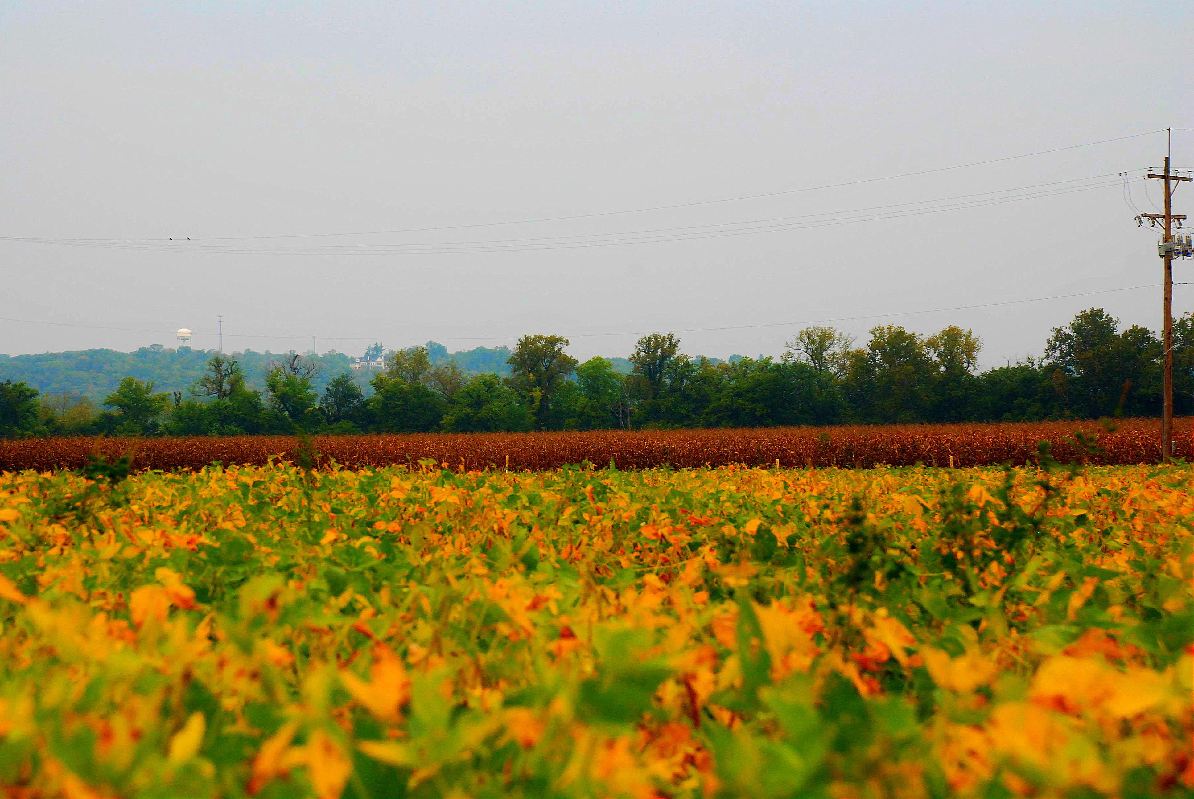
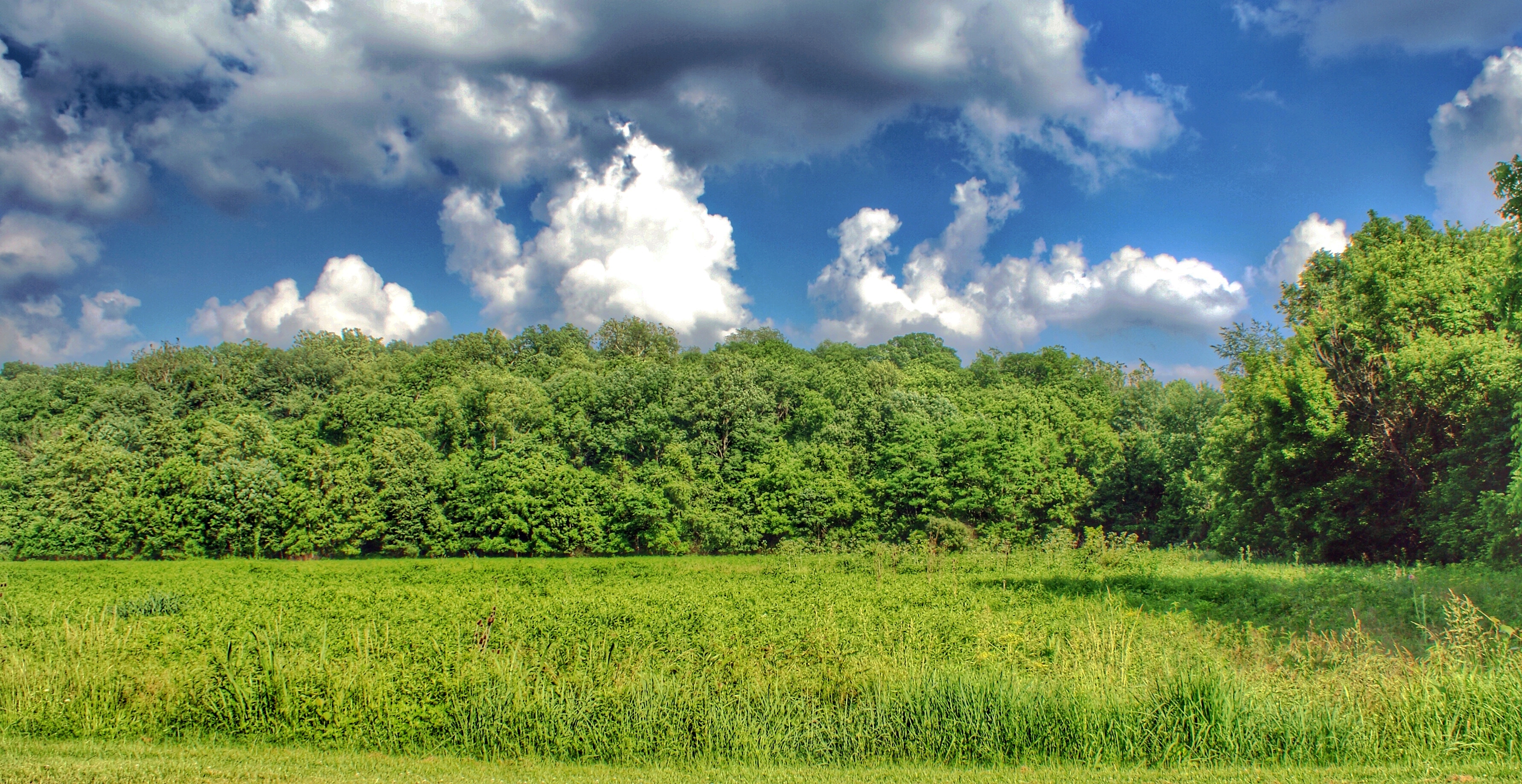
The Field
IMG_7744.JPG

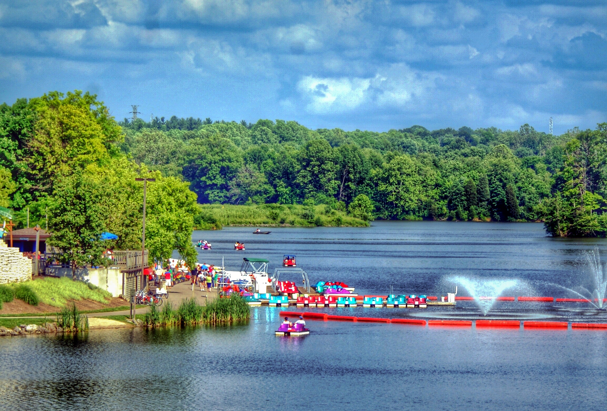
Park pic 2

Explored (8.28.2014)
DAWN AT JUNO POND
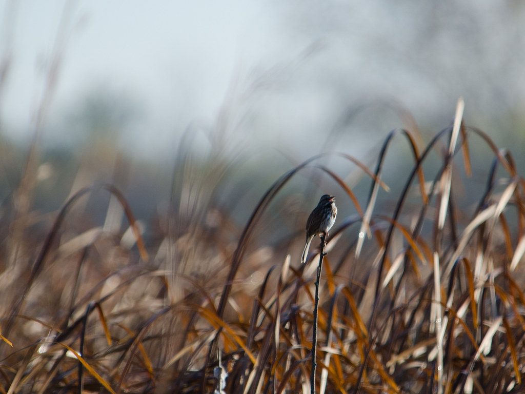
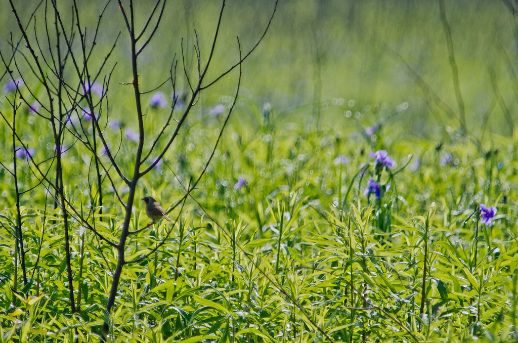
Song Sparrow
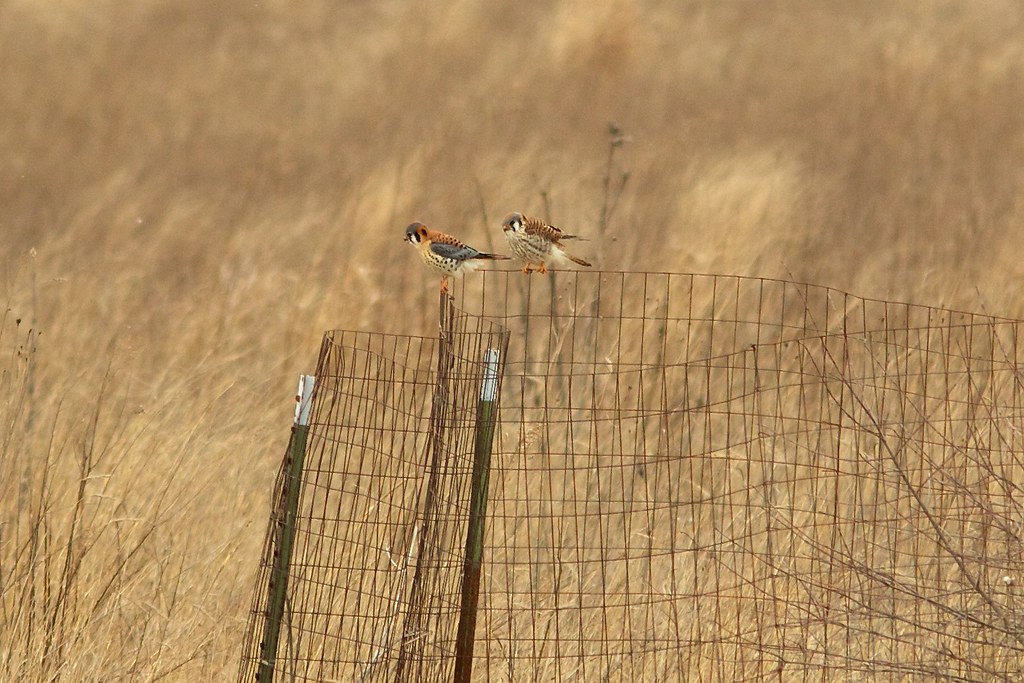
kestrels 1832
JUNO POND, OXBOW

2010-11-06 at 08-04-46
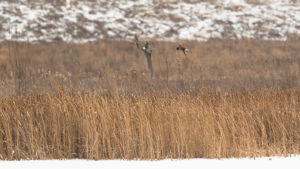
Northern Harrier

IMG_2242.JPG

Mallards Landing (1)
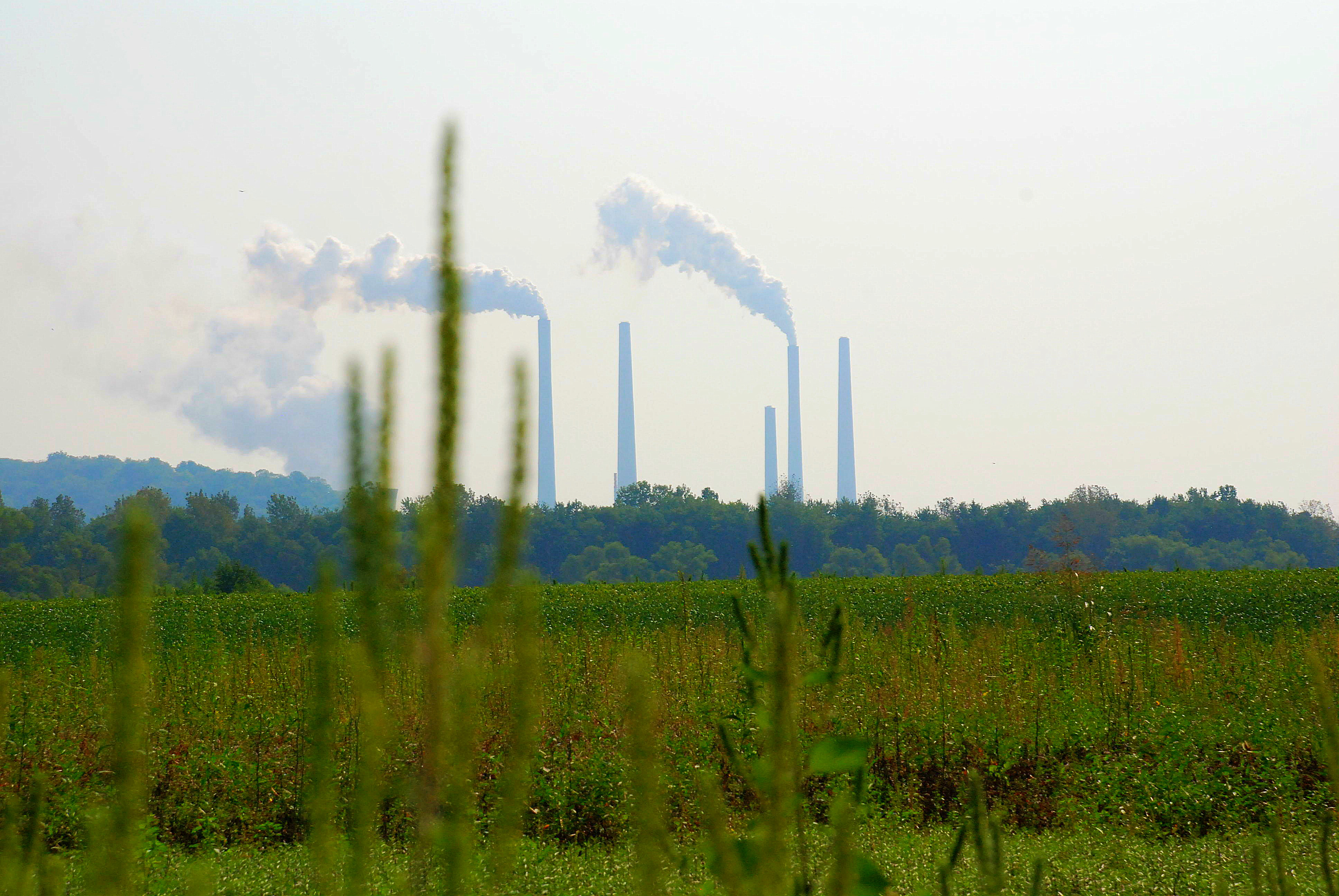
Pollution in the Wetland
IMG_6146.JPG
IMG_5703.JPG
_DSC6509.jpg
Topographic Map of West Harrison, IN, USA
Find elevation by address:

Places in West Harrison, IN, USA:
Places near West Harrison, IN, USA:
Harrison Township
Harrison Township
Harrison
Cincinnati West Airport
2652 Harrison Brookville Rd
State Line Rd, Lawrenceburg, IN, USA
120 Miami Trace
Bright
Harrison Brookville Rd, West Harrison, IN, USA
Johnson Fork Rd, West Harrison, IN, USA
2443 Blasdel Dr
2458 Salt Fork Ct
9568 Howard Rd
6767 Alert New London Rd
6814 Alert New London Rd
7721 Schradin Rd
7668 Schradin Rd
Drewersburg Rd, West Harrison, IN, USA
3578 George Rd
Logan Township
Recent Searches:
- Elevation of Congressional Dr, Stevensville, MD, USA
- Elevation of Bellview Rd, McLean, VA, USA
- Elevation of Stage Island Rd, Chatham, MA, USA
- Elevation of Shibuya Scramble Crossing, 21 Udagawacho, Shibuya City, Tokyo -, Japan
- Elevation of Jadagoniai, Kaunas District Municipality, Lithuania
- Elevation of Pagonija rock, Kranto 7-oji g. 8"N, Kaunas, Lithuania
- Elevation of Co Rd 87, Jamestown, CO, USA
- Elevation of Tenjo, Cundinamarca, Colombia
- Elevation of Côte-des-Neiges, Montreal, QC H4A 3J6, Canada
- Elevation of Bobcat Dr, Helena, MT, USA