Elevation of Wayne Township, OH, USA
Location: United States > Ohio > Adams County >
Longitude: -83.602911
Latitude: 38.8856701
Elevation: 260m / 853feet
Barometric Pressure: 98KPa
Elevation Map:
Satellite Map:
Related Photos:

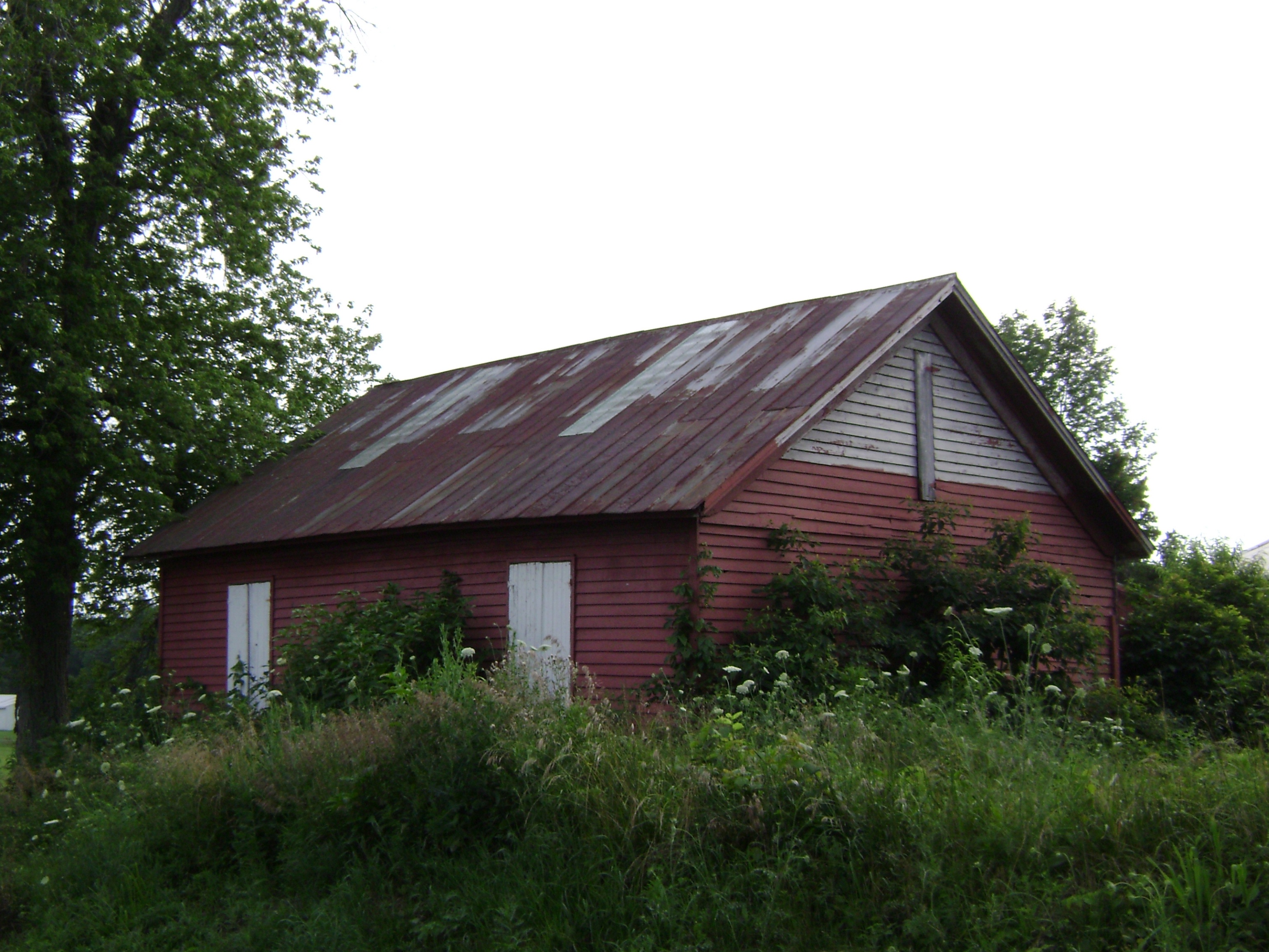
Neel, Ohio- Eagle Chapel Schoolhouse
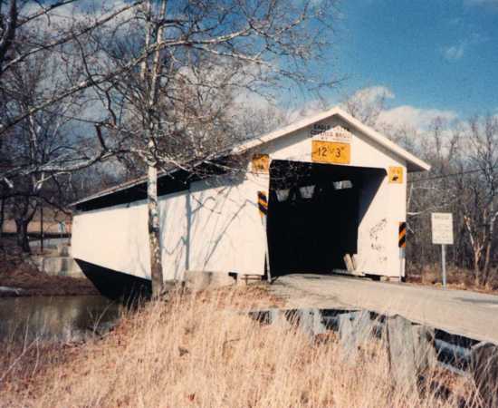
Eagle Creek Bridge, Brown County, Ohio 35-08-18
Russellville, Ohio- Baird Schoolhouse

Unity Woods - Adams County, Ohio

Kirker covered bridge, Adams Co, OH side view
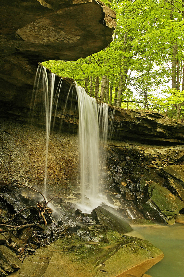
Small waterfall in Adams County, Ohio

Scott Township-John T. Wilson Home and Farm (OHPTC)
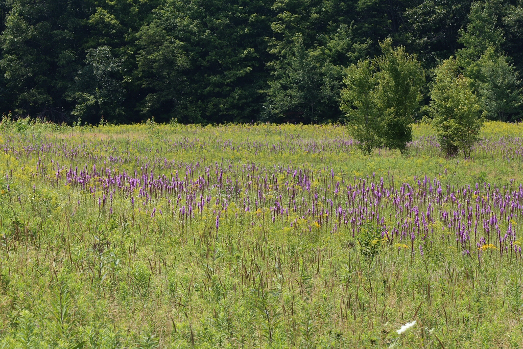
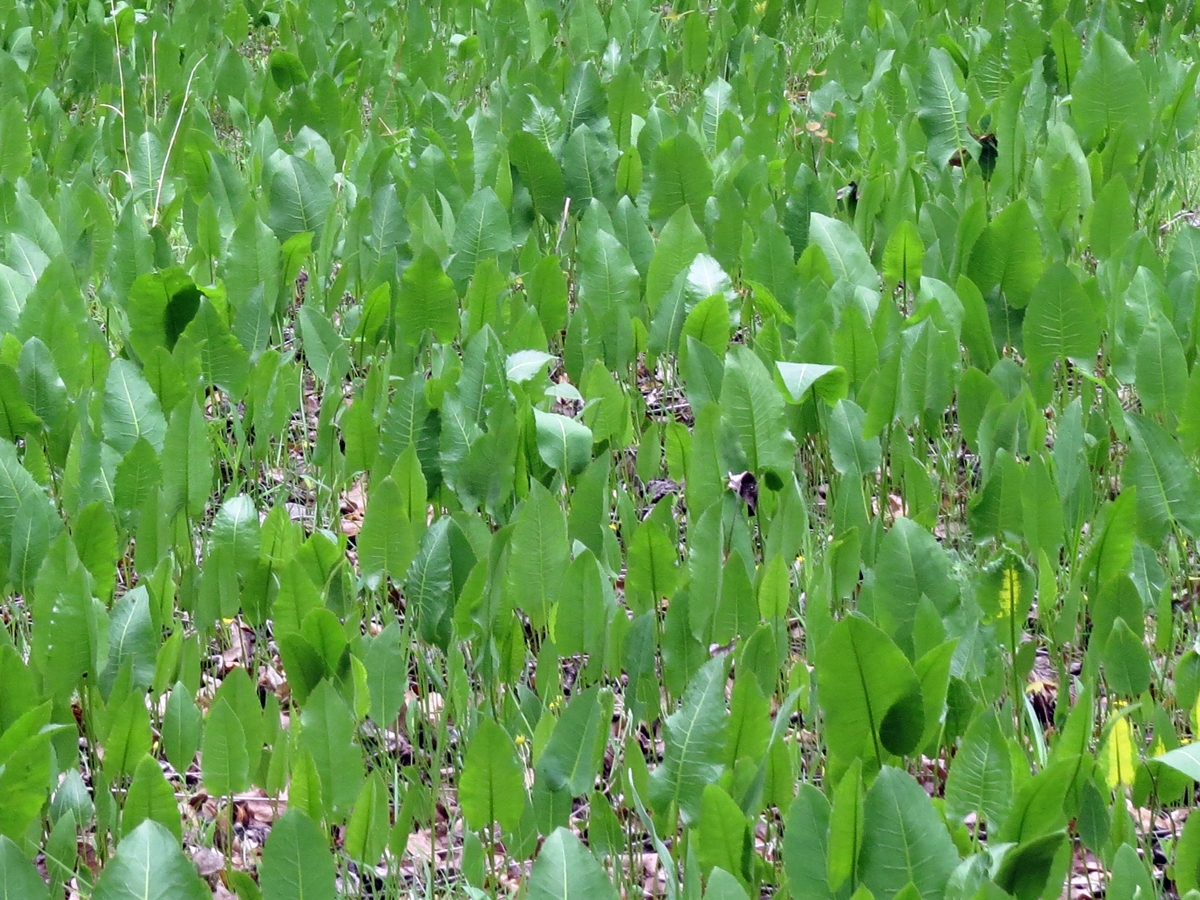
Chaparral Prairie State Nature Preserve - Adams County, Ohio, USA - August 1, 2014

Chaparral Prairie State Nature Preserve - Adams County, Ohio, USA - August 1, 2014

Tree in the middle

In living color
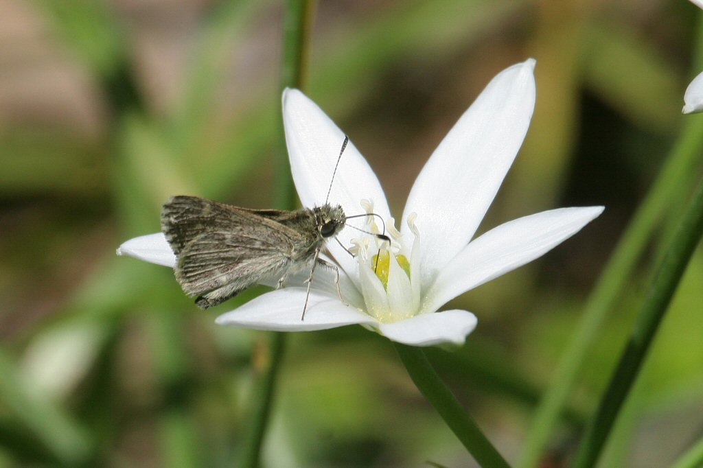
Pepper and Salt Skipper - Amblyscirtes hegon - Adams County, Ohio, USA - May 8, 2007 -01-mod
Prairie Dock (Silphium terebinthinaceum)
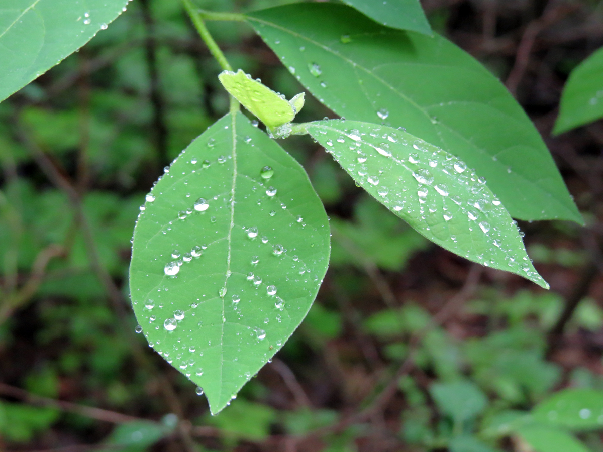
Spicebush (Lindera benzoin)

Pearl Crescent (Phyciodes tharos)

00123 (76)
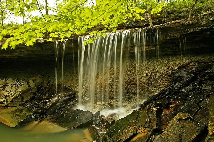
Small waterfall in Adams County, Ohio
Topographic Map of Wayne Township, OH, USA
Find elevation by address:

Places in Wayne Township, OH, USA:
Places near Wayne Township, OH, USA:
Cherry Fork
14 Tranquility Pike, Seaman, OH, USA
81 Shelton Rd, Peebles, OH, USA
387 Township Hwy T-296
Seaman
387 George C Biely Rd
744 Clay Moore Rd
Main St, Winchester, OH, USA
4666 Wheat Ridge Rd
19916 Oh-136 #427
Adams County
23 Old State Rte 32, Seaman, OH, USA
Oliver Township
422 Tater Ridge Rd
959 Tater Ridge Rd
Scott Township
2250 Fairview Rd
21 Stoney Rd, Peebles, OH, USA
10 Knauff Rd, Peebles, OH, USA
Meigs Township
Recent Searches:
- Elevation of Elwyn Dr, Roanoke Rapids, NC, USA
- Elevation of Congressional Dr, Stevensville, MD, USA
- Elevation of Bellview Rd, McLean, VA, USA
- Elevation of Stage Island Rd, Chatham, MA, USA
- Elevation of Shibuya Scramble Crossing, 21 Udagawacho, Shibuya City, Tokyo -, Japan
- Elevation of Jadagoniai, Kaunas District Municipality, Lithuania
- Elevation of Pagonija rock, Kranto 7-oji g. 8"N, Kaunas, Lithuania
- Elevation of Co Rd 87, Jamestown, CO, USA
- Elevation of Tenjo, Cundinamarca, Colombia
- Elevation of Côte-des-Neiges, Montreal, QC H4A 3J6, Canada