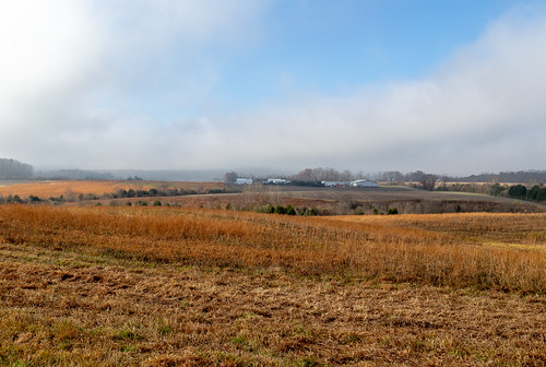
Elevation of OH- #, Winchester, OH, USA
Location: United States > Ohio > Adams County >
Longitude: -83.651314
Latitude: 38.951102
Elevation: -10000m / -32808feet
Barometric Pressure: 295KPa
Related Photos:
Topographic Map of OH- #, Winchester, OH, USA
Find elevation by address:

Places near OH- #, Winchester, OH, USA:
Main St, Winchester, OH, USA
Cherry Fork
Seaman
Wayne Township
14 Tranquility Pike, Seaman, OH, USA
Scott Township
81 Shelton Rd, Peebles, OH, USA
23 Old State Rte 32, Seaman, OH, USA
744 Clay Moore Rd
4666 Wheat Ridge Rd
387 Township Hwy T-296
387 George C Biely Rd
2250 Fairview Rd
Adams County
Oliver Township
959 Tater Ridge Rd
422 Tater Ridge Rd
21 Stoney Rd, Peebles, OH, USA
Peebles
Meigs Township
Recent Searches:
- Elevation of Beall Road, Beall Rd, Florida, USA
- Elevation of Leguwa, Nepal
- Elevation of County Rd, Enterprise, AL, USA
- Elevation of Kolchuginsky District, Vladimir Oblast, Russia
- Elevation of Shustino, Vladimir Oblast, Russia
- Elevation of Lampiasi St, Sarasota, FL, USA
- Elevation of Elwyn Dr, Roanoke Rapids, NC, USA
- Elevation of Congressional Dr, Stevensville, MD, USA
- Elevation of Bellview Rd, McLean, VA, USA
- Elevation of Stage Island Rd, Chatham, MA, USA


