Elevation of Waucedah Township, MI, USA
Location: United States > Michigan > Dickinson County >
Longitude: -87.748694
Latitude: 45.8438453
Elevation: 302m / 991feet
Barometric Pressure: 98KPa
Elevation Map:
Satellite Map:
Related Photos:

MLS# 1089249

MLS# 1098825

MLS# 1096467

MLS# 1091901
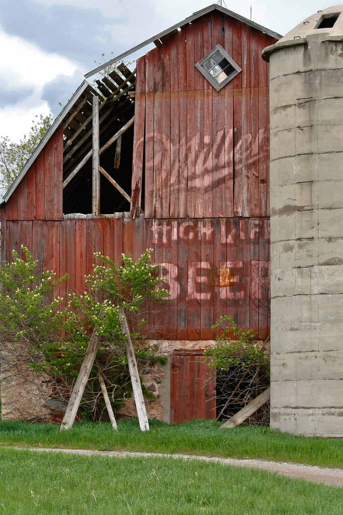
miller time
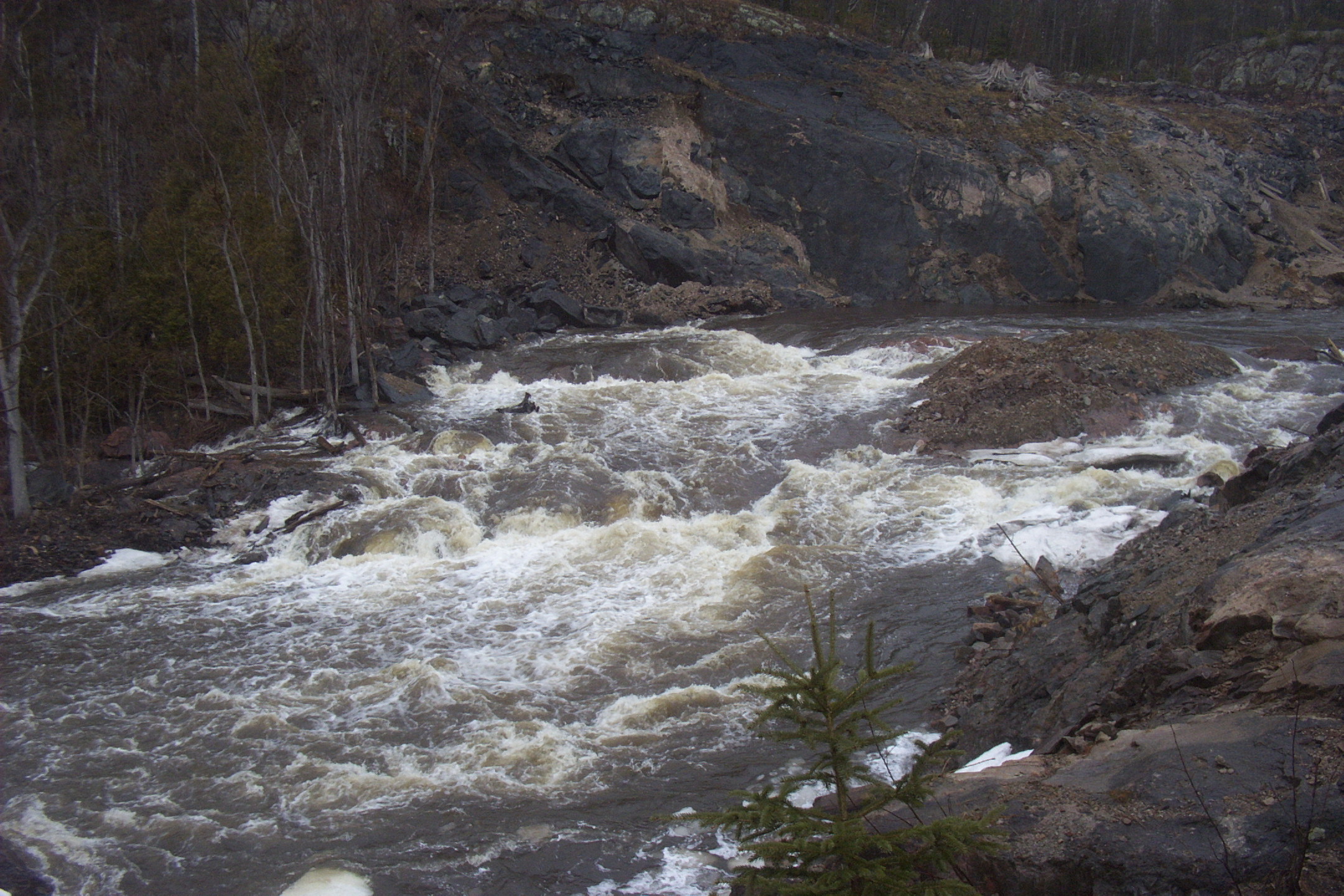
Sturgeon Gorge, former dam site

Deep in the woods

MLS# 1089038

MLS# 1092911
Topographic Map of Waucedah Township, MI, USA
Find elevation by address:

Places in Waucedah Township, MI, USA:
Places near Waucedah Township, MI, USA:
Waucedah
Dickinson County
Horseshoe Rd, Pembine, WI, USA
US-2, Quinnesec, MI, USA
Main St, Niagara, WI, USA
1108 Prospect St
1081 Prospect St
1089 Prospect St
1085 Prospect St
1248 Jackson St
Shangrila
Breitung Township
Pembine
8346 Collins Rd
8346 Collins Rd
8346 Collins Rd
U.s. 141
313 E Margaret St
Oscar G Johnson Va Medical Center
Iron Mountain
Recent Searches:
- Elevation of Bydgoszcz, Poland
- Elevation of Bydgoszcz, Poland
- Elevation of Calais Dr, Del Mar, CA, USA
- Elevation of Placer Mine Ln, West Jordan, UT, USA
- Elevation of E 63rd St, New York, NY, USA
- Elevation of Elk City, OK, USA
- Elevation of Erika Dr, Windsor, CA, USA
- Elevation of Village Ln, Finleyville, PA, USA
- Elevation of 24 Oakland Rd #, Scotland, ON N0E 1R0, Canada
- Elevation of Deep Gap Farm Rd E, Mill Spring, NC, USA