Elevation of Watkins School Rd, Sebree, KY, USA
Location: United States > Kentucky > Webster County > Sebree >
Longitude: -87.569386
Latitude: 37.6173305
Elevation: 151m / 495feet
Barometric Pressure: 100KPa
Elevation Map:
Satellite Map:
Related Photos:
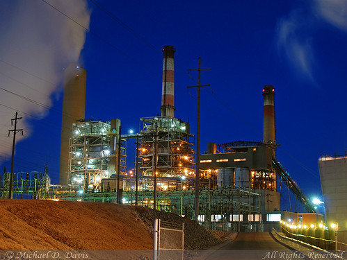
Big Rivers Robert A. Reid Station & Robert D. Green Station

Into the Kentucky wilderness
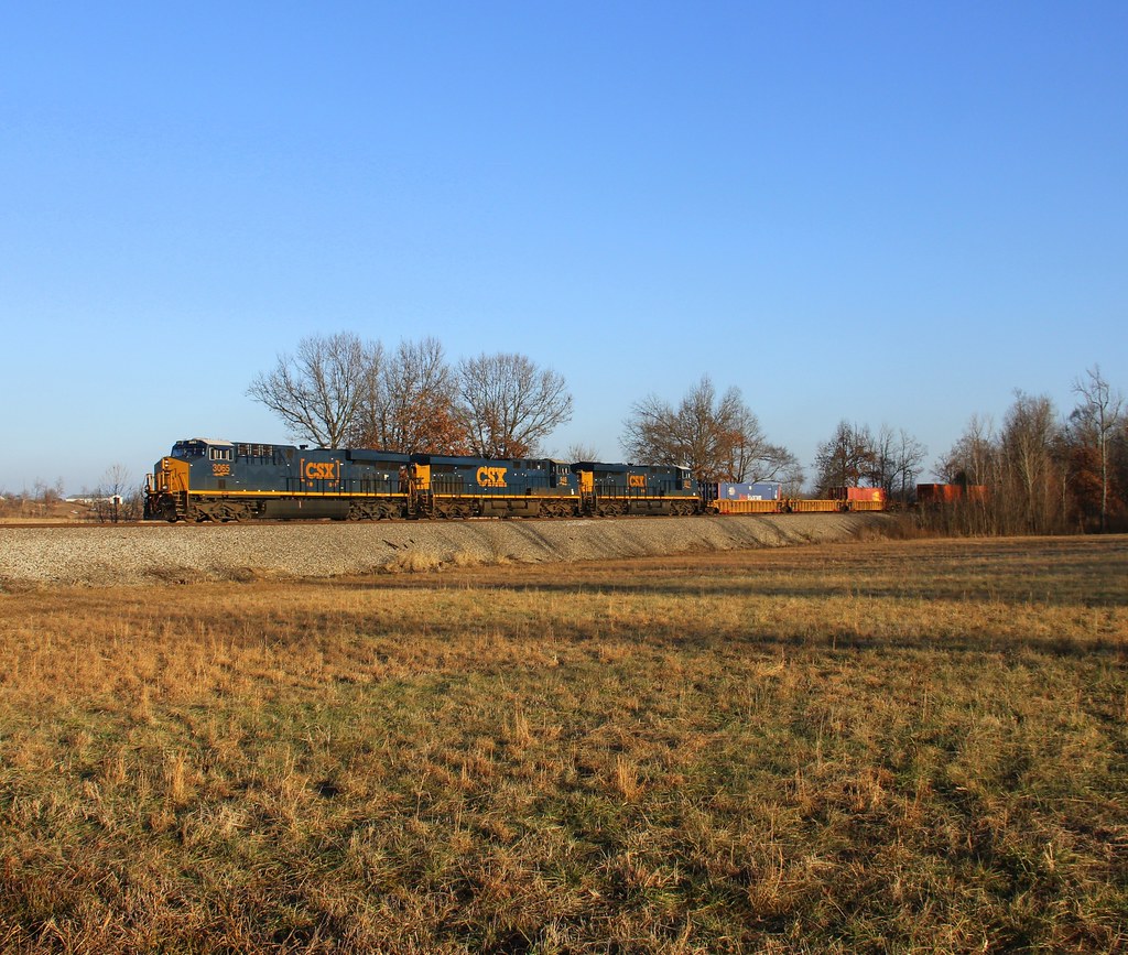
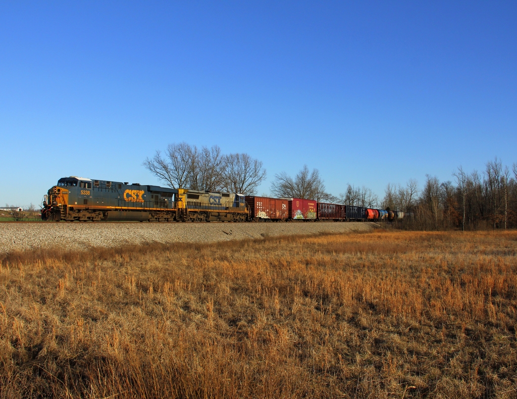
CSX Q026, Breton,KY 12/17/2013
Into the Kentucky Jungle
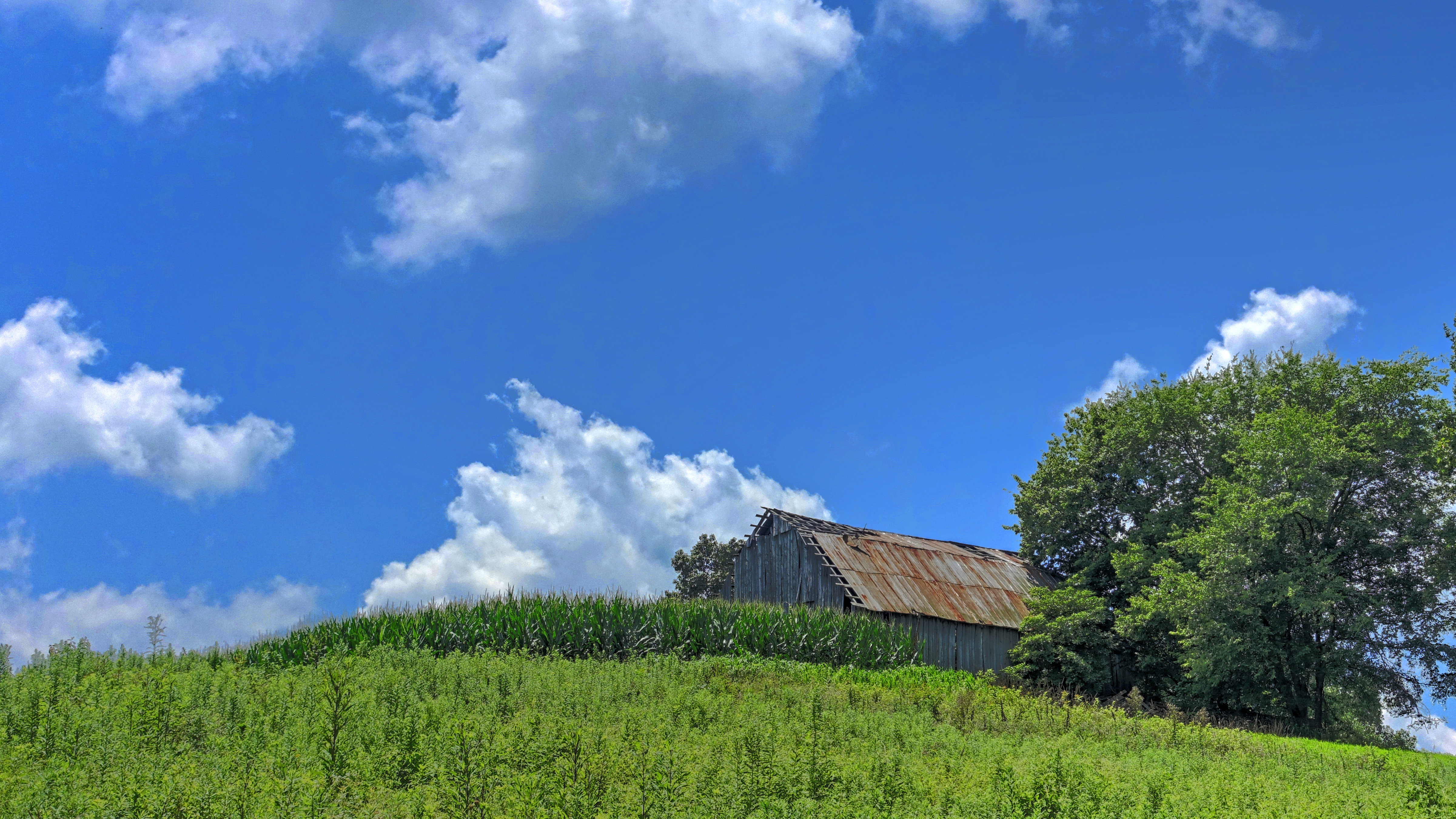
Barn on a Hill
CSX Q588, Breton,KY 1/19/2013
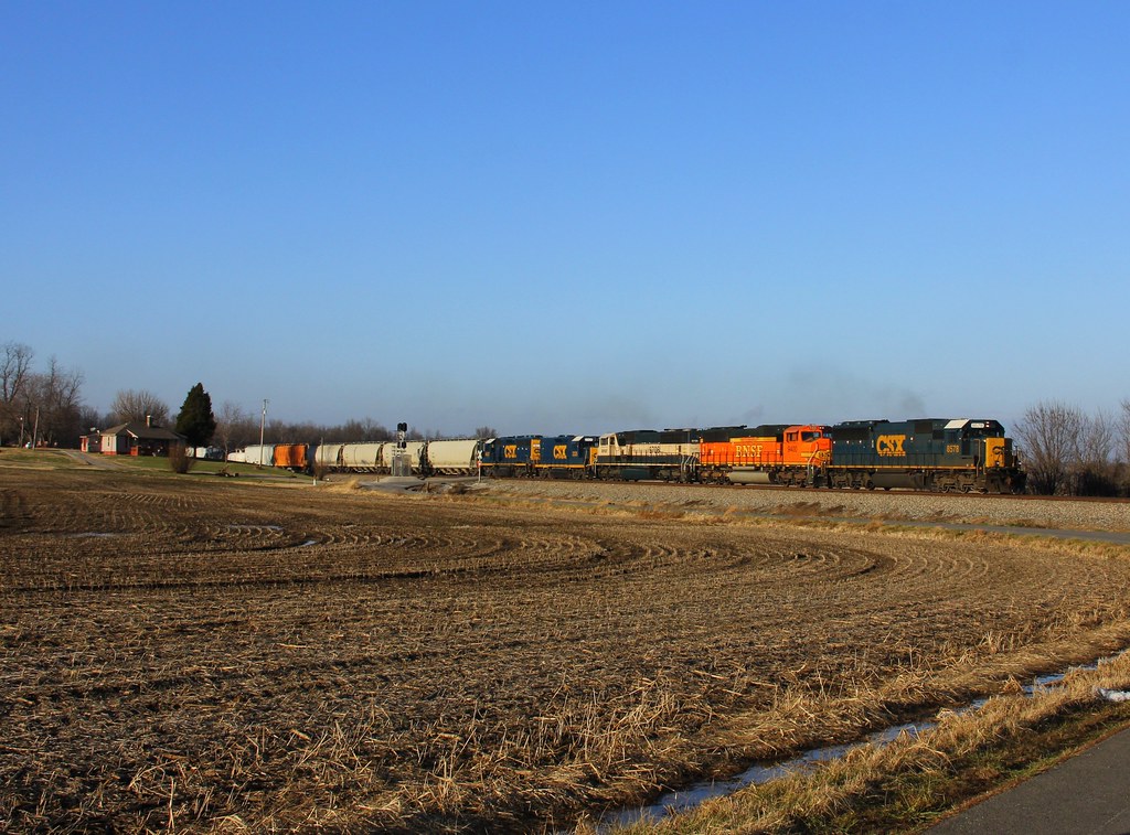
CSX Q515, Elmwood Curve, Slaughters,KY 12/17/2013
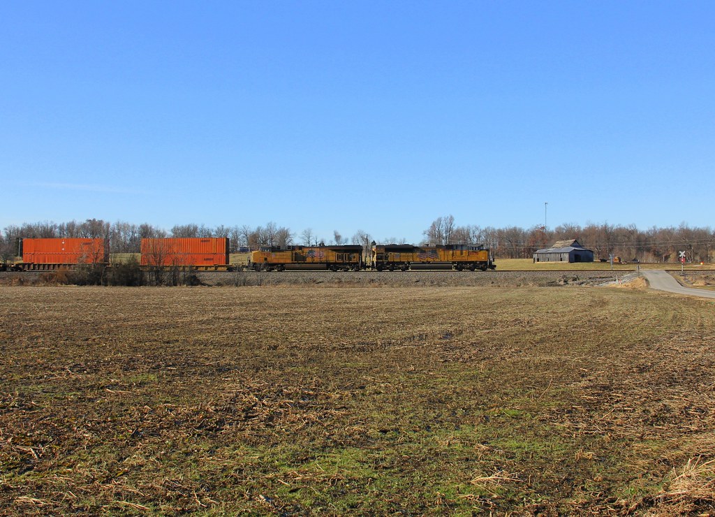
CSX Q028, Elmwood Curve, Slaughters,KY 12/18/2013
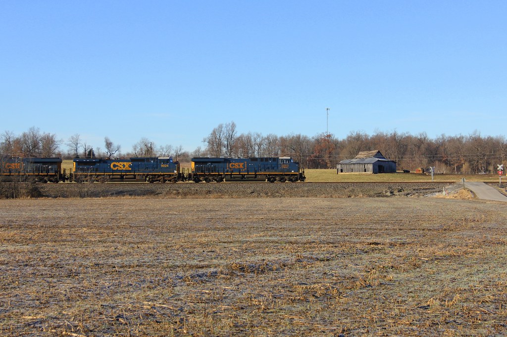
CSX Q124, Elmwood Curve, Slaughters,KY 12/18/2013

CSXT Q515, Elmwood, KY
Topographic Map of Watkins School Rd, Sebree, KY, USA
Find elevation by address:

Places near Watkins School Rd, Sebree, KY, USA:
327 Watkins School Rd
Roger Powell Road
2 US-41, Sebree, KY, USA
Sebree
Robards
US-41 ALT, Corydon, KY, USA
1470 Wanamaker Rd
KY-, Slaughters, KY, USA
Henderson County
KY-, Robards, KY, USA
Hester Winstead Road
US-41 ALT, Corydon, KY, USA
3088 Ky-266
Old Robards Rd, Henderson, KY, USA
Slaughters
23 Main Cross St
84 State Hwy, Dixon, KY, USA
State Hwy, Robards, KY, USA
Dixon
16 US-41 ALT, Dixon, KY, USA
Recent Searches:
- Elevation of Redondo Ave, Long Beach, CA, USA
- Elevation of Sadovaya Ulitsa, 20, Rezh, Sverdlovskaya oblast', Russia
- Elevation of Ulitsa Kalinina, 79, Rezh, Sverdlovskaya oblast', Russia
- Elevation of 72-31 Metropolitan Ave, Middle Village, NY, USA
- Elevation of 76 Metropolitan Ave, Brooklyn, NY, USA
- Elevation of Alisal Rd, Solvang, CA, USA
- Elevation of Vista Blvd, Sparks, NV, USA
- Elevation of 15th Ave SE, St. Petersburg, FL, USA
- Elevation of Beall Road, Beall Rd, Florida, USA
- Elevation of Leguwa, Nepal