Elevation of Slaughters, KY, USA
Location: United States > Kentucky > Hopkins County >
Longitude: -87.502223
Latitude: 37.4889336
Elevation: 128m / 420feet
Barometric Pressure: 100KPa
Elevation Map:
Satellite Map:
Related Photos:
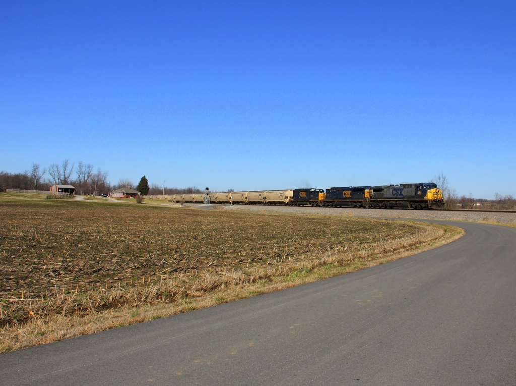
CSX Q515, Elmwood Curve, Slaughters,KY 12/17/2013
CSX Q588, Breton,KY 1/19/2013
CSX Q026, Breton,KY 12/17/2013
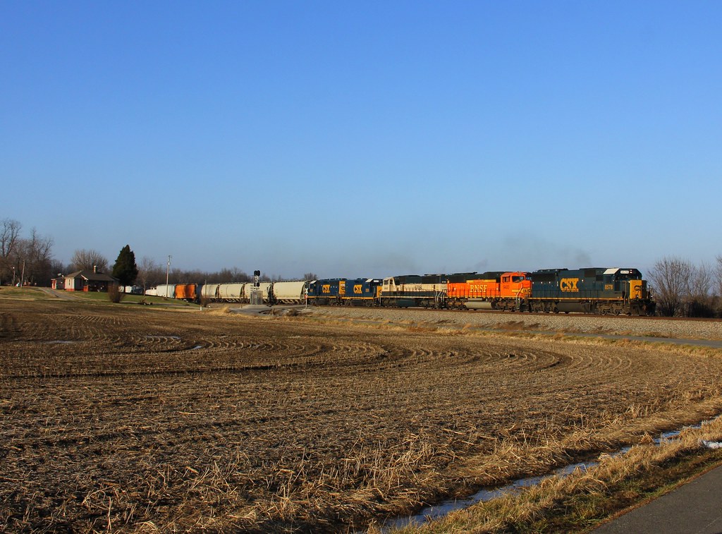
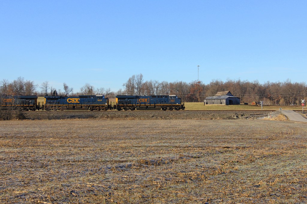
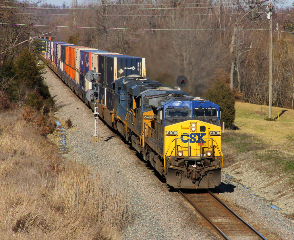
CSX Q028, Elmwood Curve, Slaughters,KY 12/18/2013

CSXT Q515, Elmwood, KY
CSX Q124, Elmwood Curve, Slaughters,KY 12/18/2013
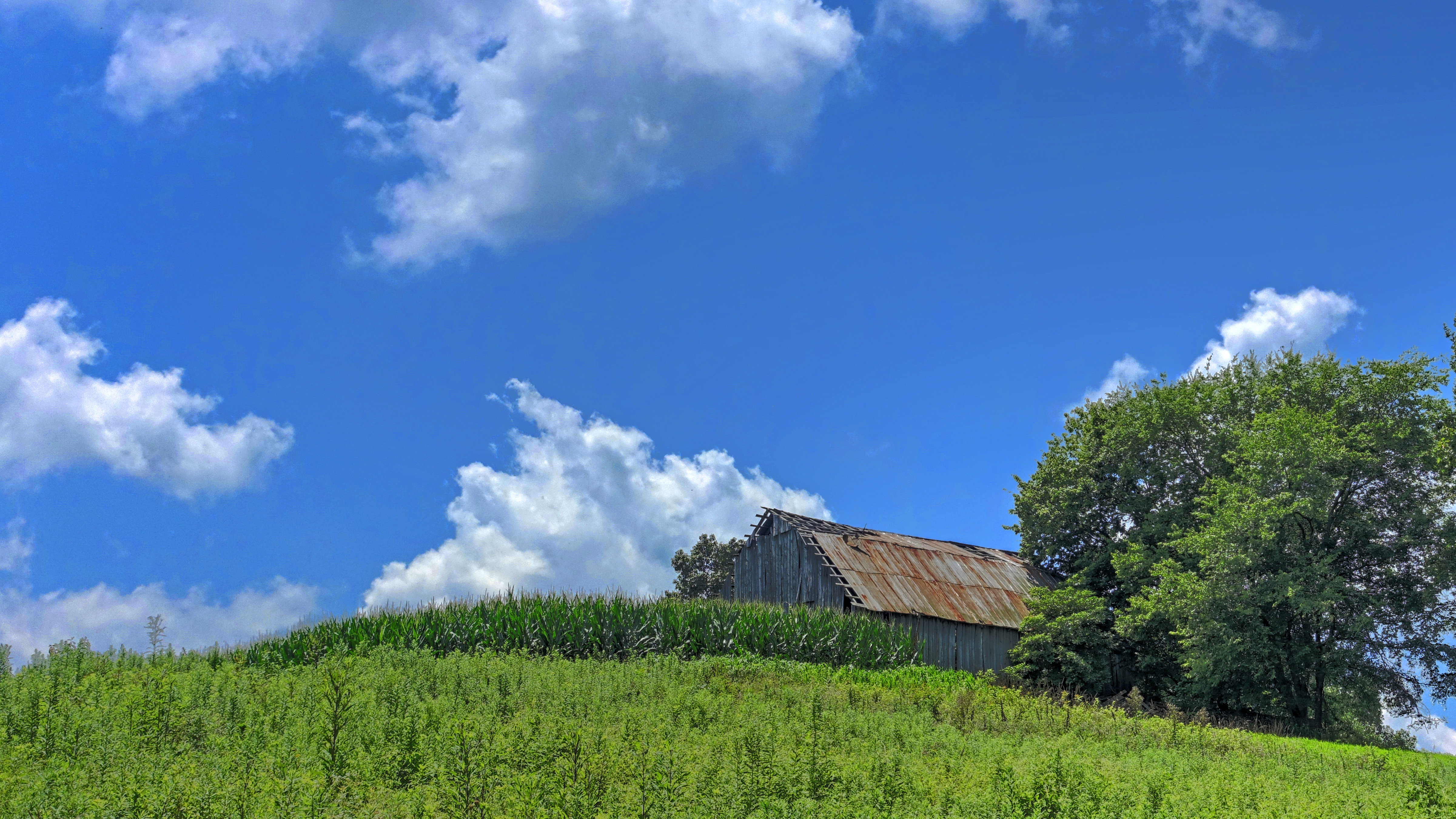
Barn on a Hill

Hanson KY Sunset | 26 Dec 2014

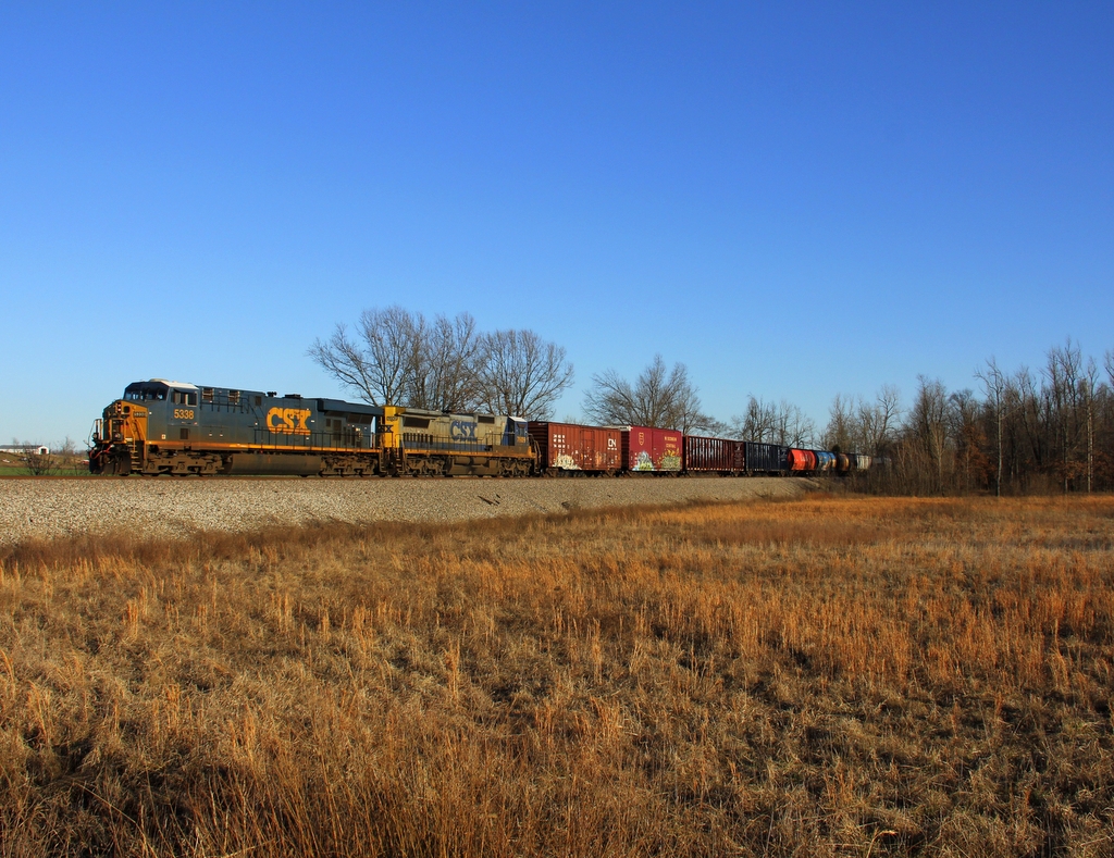
CSXT Q514, Hanson, KY

Hanson Grill HomeCooked Meals

Northern Harrier (male)

American Kestral

Red-Shouldered Hawk

American Kestrel
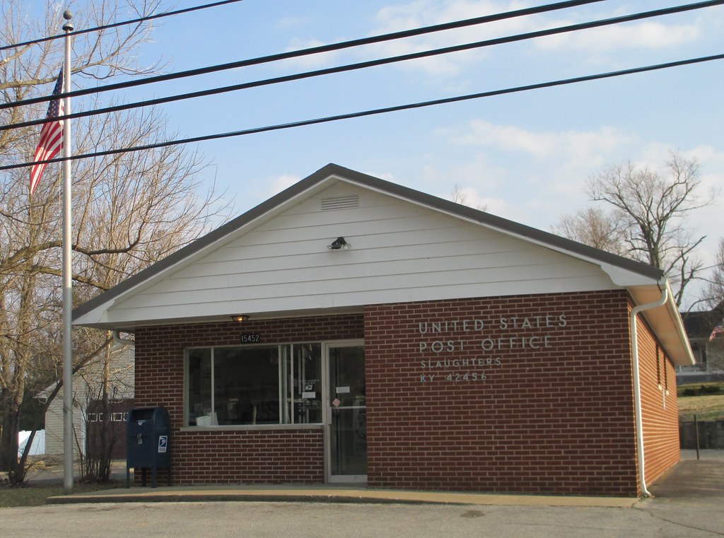
Post Office 42456 (Slaughters, Kentucky)

CSX Q029, Breton,KY 12/18/2013
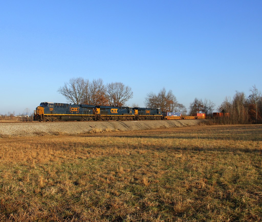
CSX G476-18, Elmwood Curve, Slaughters,KY 1/19/2013
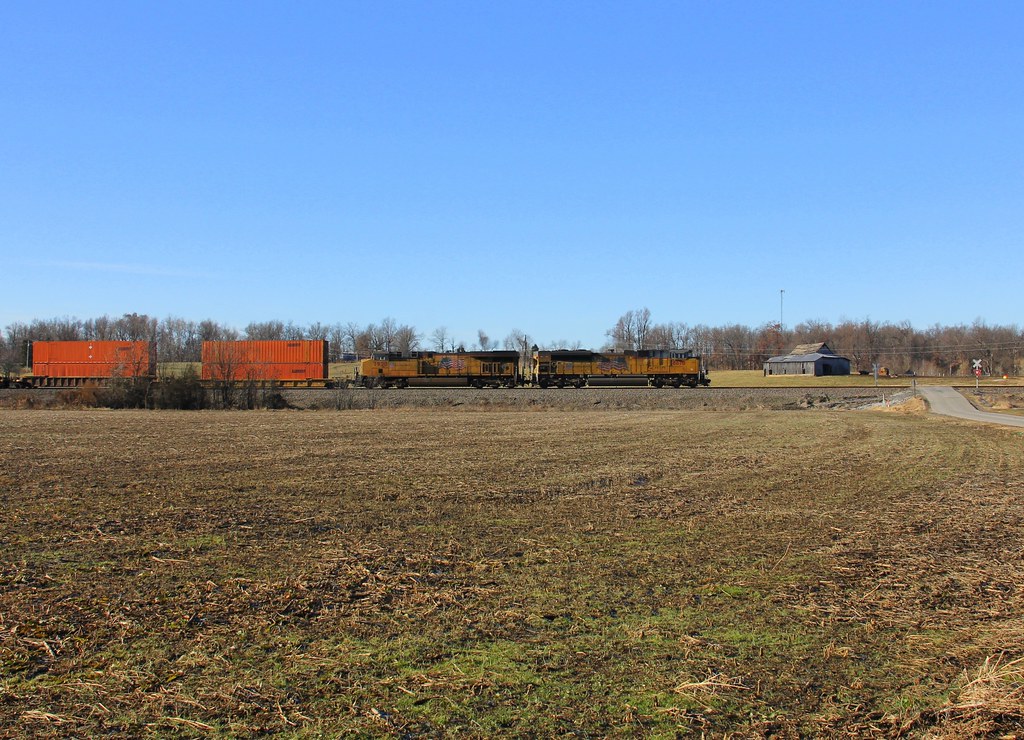
CSX Q025-19, Madisonville,KY 1/19/2013
CSX Q025-19, Madisonville,KY 1/19/2013

Buick 8 Close

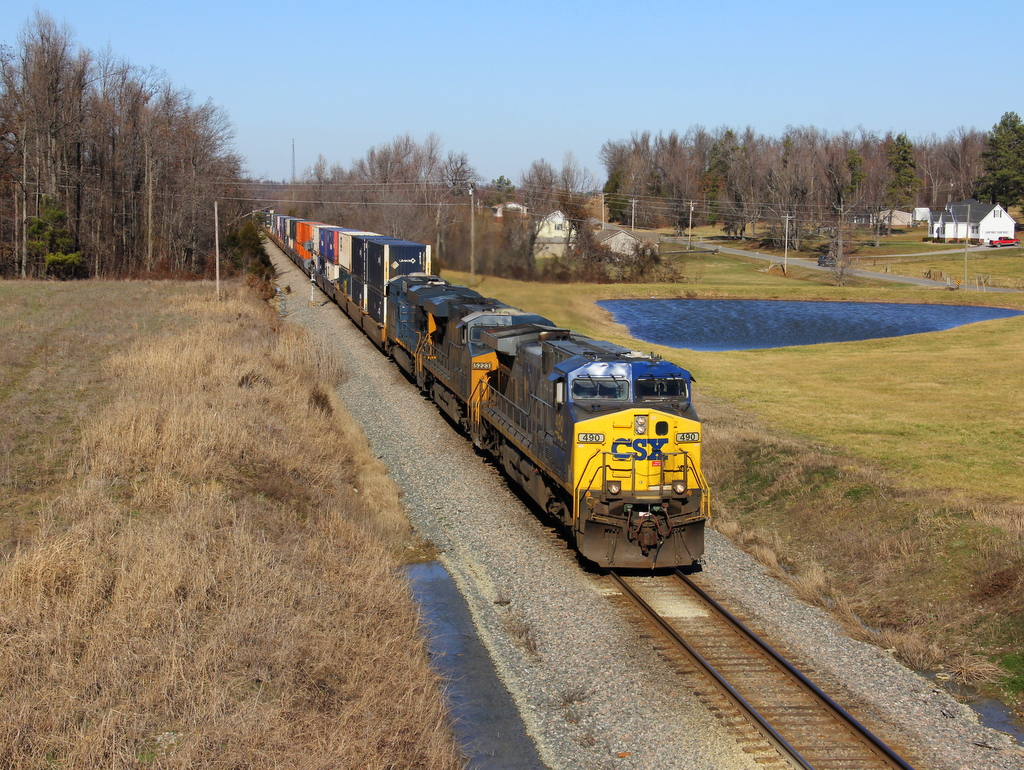
CSX Q515, Madisonville,KY 6/28/2012

CSXT Q515, Madisonville, KY
Topographic Map of Slaughters, KY, USA
Find elevation by address:

Places in Slaughters, KY, USA:
Places near Slaughters, KY, USA:
23 Main Cross St
Hester Winstead Road
20 Eastlawn Rd, Hanson, KY, USA
Hanson
Roger Powell Road
KY-, Slaughters, KY, USA
6525 Brown Rd
2 US-41, Sebree, KY, USA
Sebree
285 Carroll Gentry Rd
1515 Heather Pl
1515 Heather Pl
Nebo Rd, Madisonville, KY, USA
Onton Rd, Slaughters, KY, USA
Manitou
Watkins School Rd, Sebree, KY, USA
327 Watkins School Rd
1225 Columbia Schoolhouse Rd
Madisonville
South Madison Avenue
Recent Searches:
- Elevation of Corso Fratelli Cairoli, 35, Macerata MC, Italy
- Elevation of Tallevast Rd, Sarasota, FL, USA
- Elevation of 4th St E, Sonoma, CA, USA
- Elevation of Black Hollow Rd, Pennsdale, PA, USA
- Elevation of Oakland Ave, Williamsport, PA, USA
- Elevation of Pedrógão Grande, Portugal
- Elevation of Klee Dr, Martinsburg, WV, USA
- Elevation of Via Roma, Pieranica CR, Italy
- Elevation of Tavkvetili Mountain, Georgia
- Elevation of Hartfords Bluff Cir, Mt Pleasant, SC, USA