Elevation of Waterford, VA, USA
Location: United States > Virginia > Loudoun County > Catoctin > Waterford >
Longitude: -77.642157
Latitude: 39.1883159
Elevation: 128m / 420feet
Barometric Pressure: 100KPa
Elevation Map:
Satellite Map:
Related Photos:
A "Left Field" Viewpoint

Sunset Cat
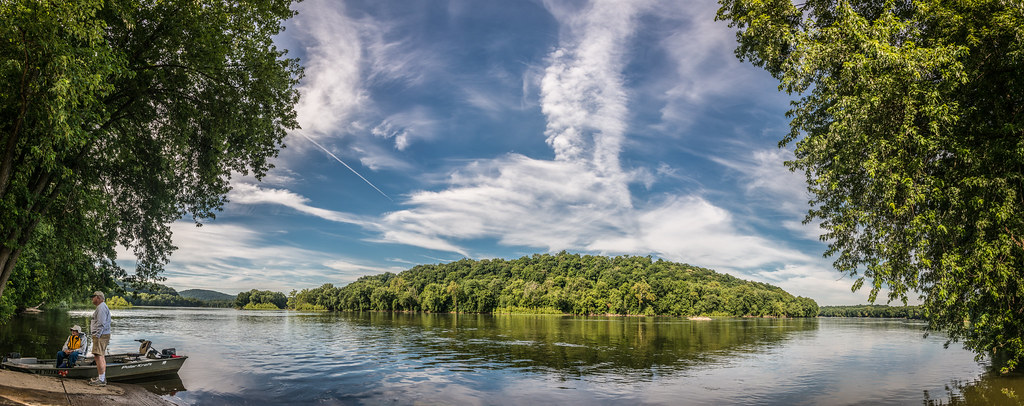
Potomac Panorama
Last Day of August

School Room

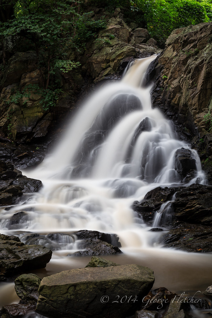
Stream Cascade at Ball's Bluff Battlefield

Small Waterfall at Ball's Bluff Battlefield

Easy Breezy

View From The Ice

Historic Culvert 71
Passing Clouds

A view in a wine glass!
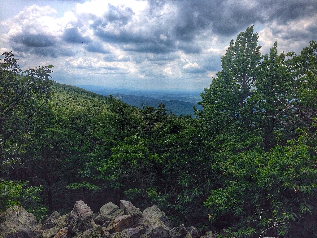
buzzard rocks

American Poodle

Hippie Spoo Friday
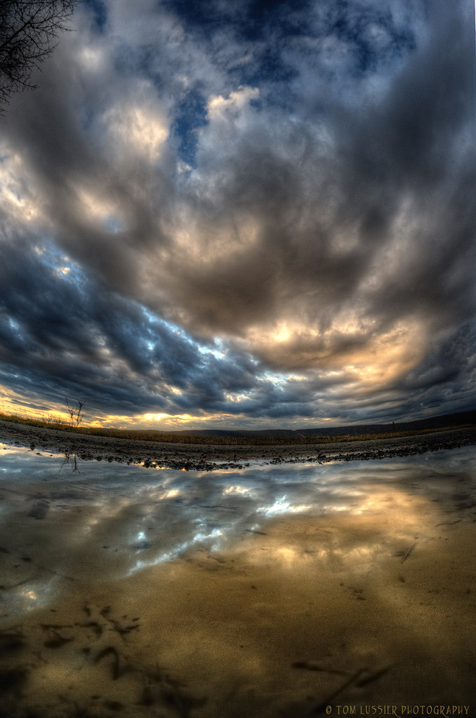
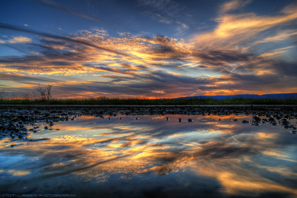
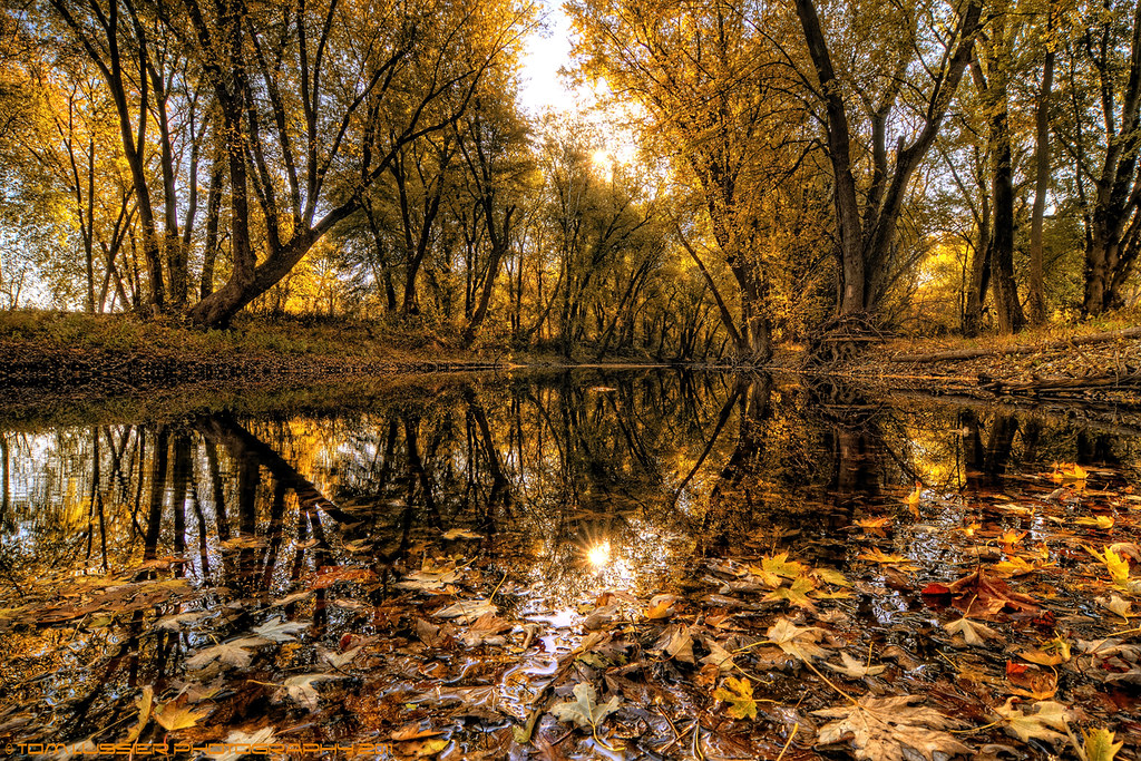
Puddle Vision

Time Portal
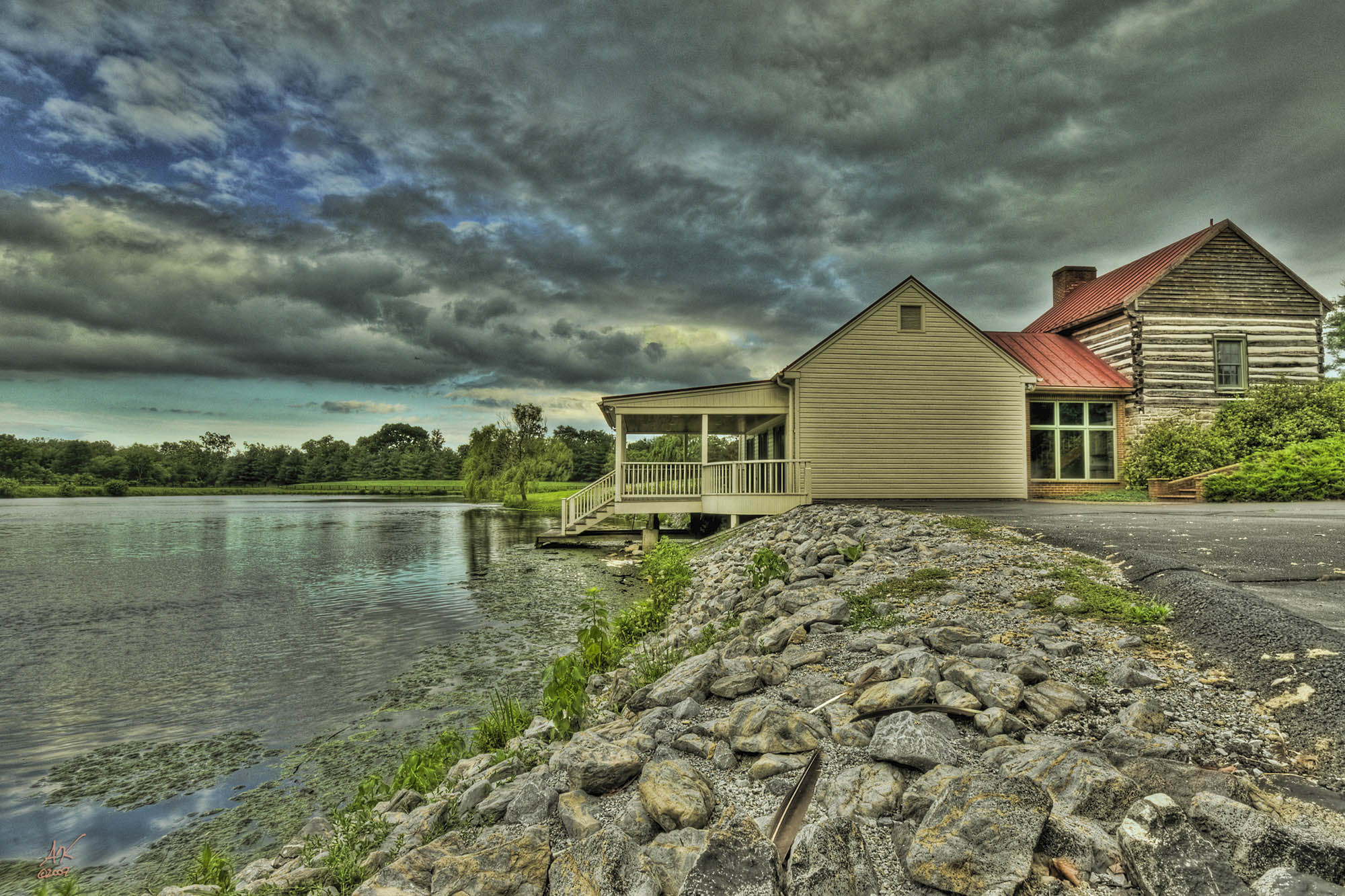
Wheatland Boathouse
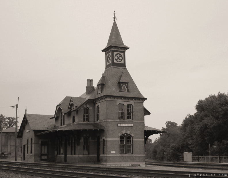
Point of Rocks Railroad Station

Diamonds are Forever Explored 12/01/2011 #238
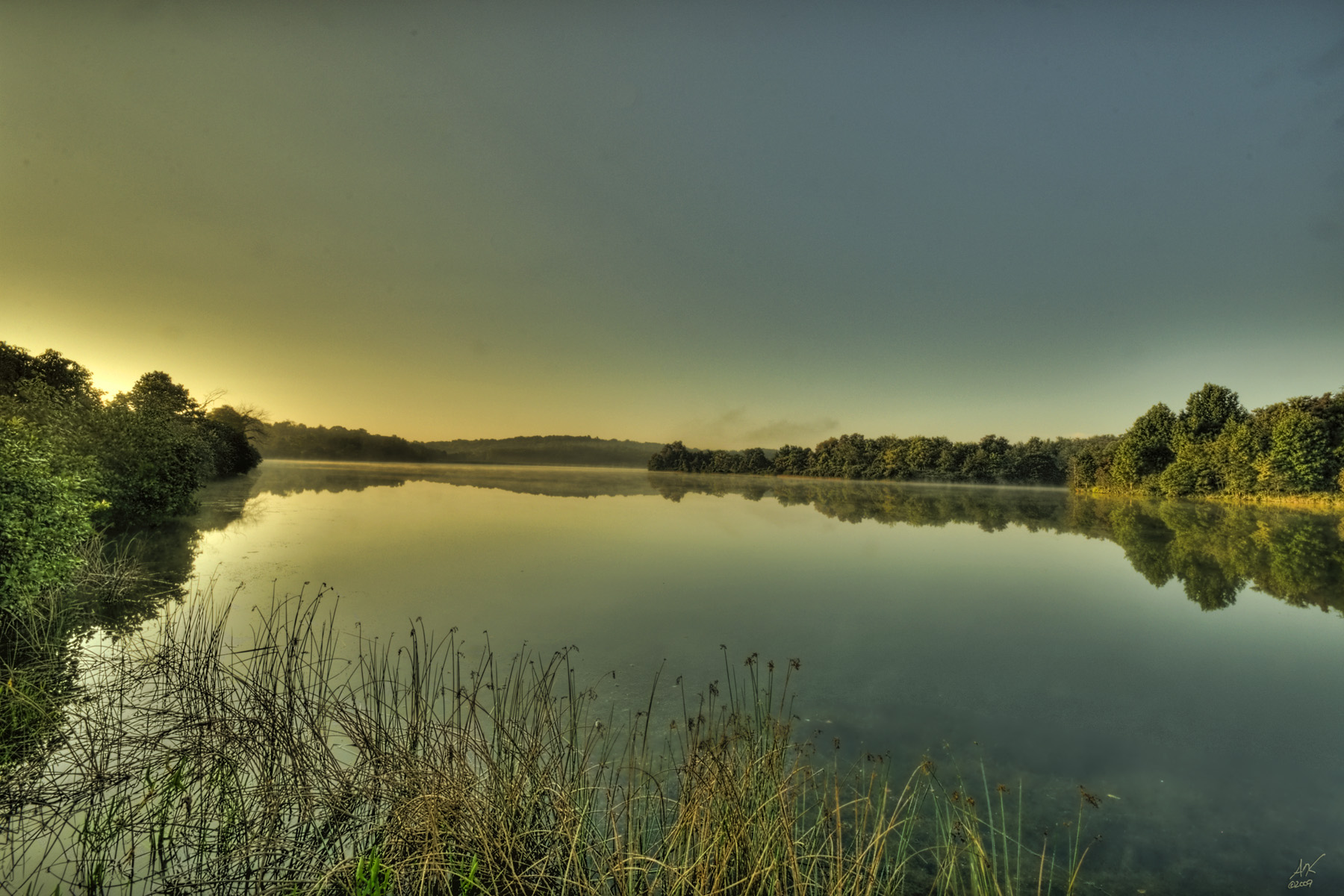
Morning on Sleeter Lake

The Late Show ~Explore~

Grand Summer Evening
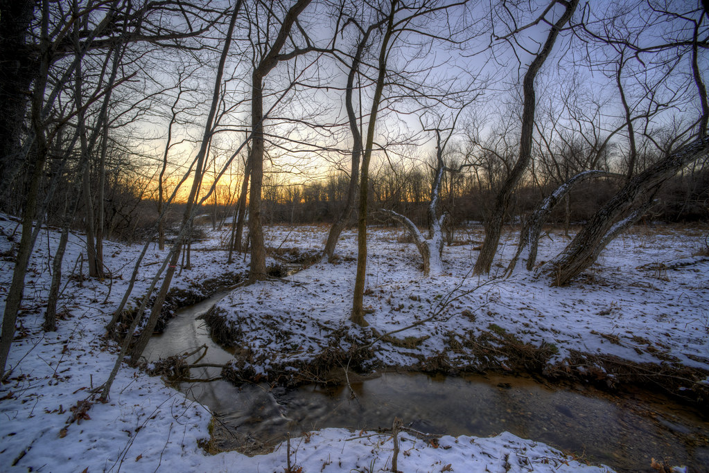
December Puddle ~Explore~
Seclusion ~Explore~

Key the Sunset
HFF 11

Summer Day Ends

Depths of Autumn

Sweet Summer Dreams
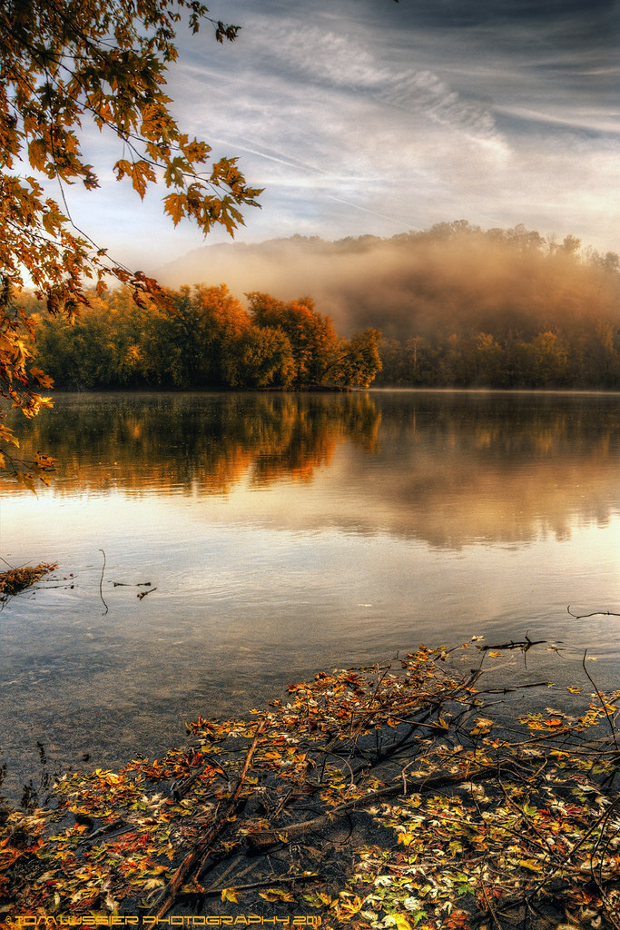
Autumn Morning Fog ~Explore~
The Clearing Storm

Solitude ~Explore~
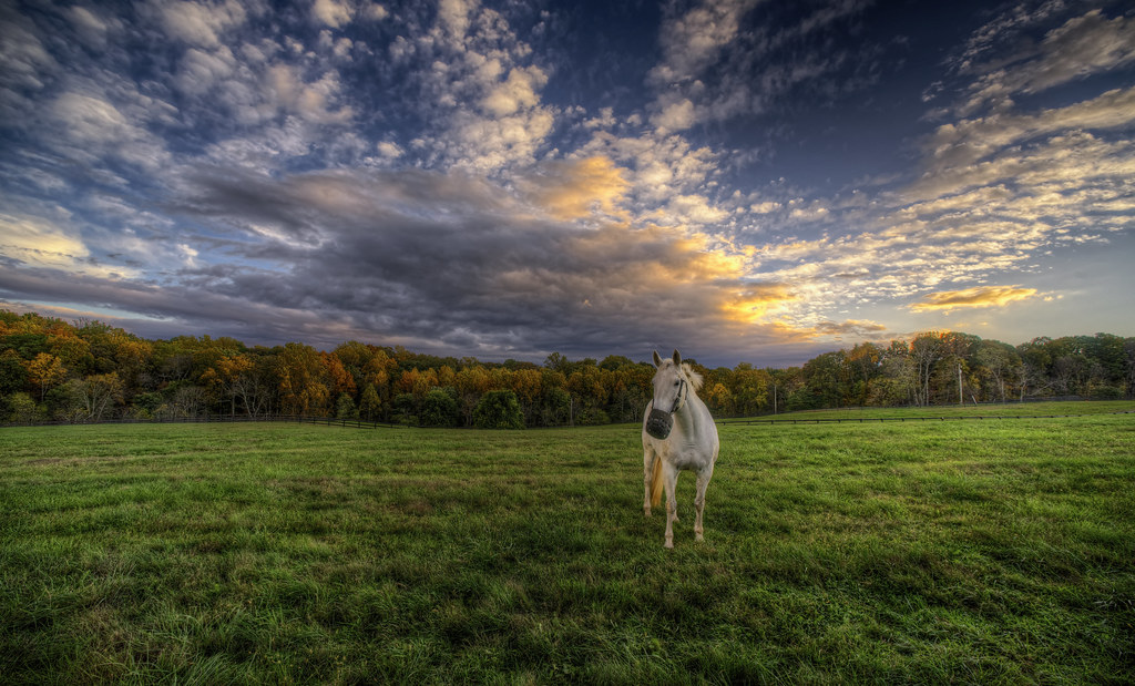
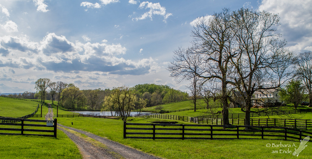
A Horse Named Mouse
Sit and Listen
Gold Fall Morning
One of these Godd@mn snow storms, I don't remember which..

Enchanted Winter Morning

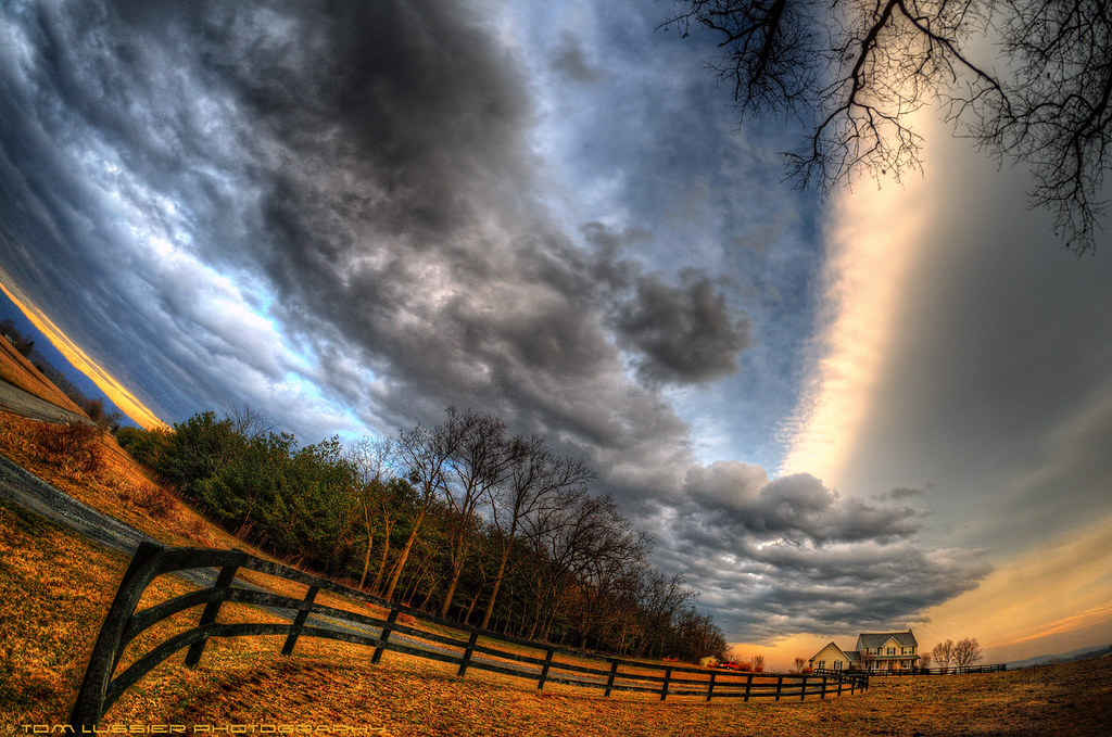
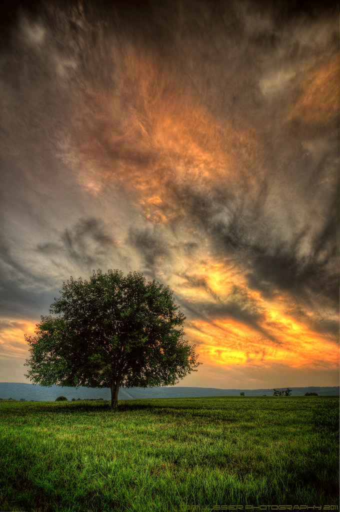
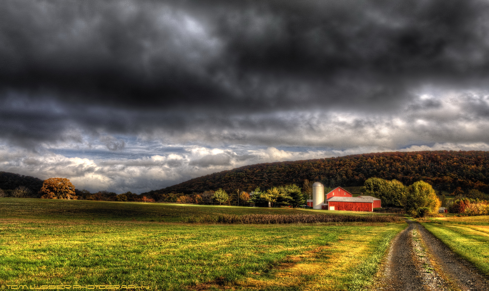
A Storm Is Coming
Topographic Map of Waterford, VA, USA
Find elevation by address:

Places near Waterford, VA, USA:
15151 Lynnford Ct
16050 Hamilton Station Rd
38516 Charles Town Pike
40120 Bond St
Waterford
15510 Loyalty Rd
Paeonian Springs
17130 Quail Creek Cir
39730 Covey Ct
109 Delaware Ave
17449 Canby Rd
Hamilton
Catoctin
16116 Waterford Crest Pl
69 S Rogers St
17334 Westham Estates Ct
270 S St Paul St
Hamilton Heights Court
Canby Road
925 Queenscliff Ct
Recent Searches:
- Elevation of Congressional Dr, Stevensville, MD, USA
- Elevation of Bellview Rd, McLean, VA, USA
- Elevation of Stage Island Rd, Chatham, MA, USA
- Elevation of Shibuya Scramble Crossing, 21 Udagawacho, Shibuya City, Tokyo -, Japan
- Elevation of Jadagoniai, Kaunas District Municipality, Lithuania
- Elevation of Pagonija rock, Kranto 7-oji g. 8"N, Kaunas, Lithuania
- Elevation of Co Rd 87, Jamestown, CO, USA
- Elevation of Tenjo, Cundinamarca, Colombia
- Elevation of Côte-des-Neiges, Montreal, QC H4A 3J6, Canada
- Elevation of Bobcat Dr, Helena, MT, USA