Elevation of Washington Trace Rd, California, KY, USA
Location: United States > Kentucky > Campbell County > California >
Longitude: -84.307324
Latitude: 38.9357825
Elevation: 259m / 850feet
Barometric Pressure: 98KPa
Elevation Map:
Satellite Map:
Related Photos:

TrackHead Studios - Selfie

TrackHead Studios - Bear Blowing Kisses

TrackHead Studios - New Flooring

TrackHead Studios - Oops! She did it.

TrackHead Studios - Brown Smoke

TrackHead Studios - One Big Bowl

Cairo City View

Awesome view out my window this evening! I'm loving this sunshine and warm(ish) weather. #Cincinnati #Ohio #Sunshine #GoldenHour #Photography #SettingSun

TrackHead Studios - Grand Finale

TrackHead Studios - Gas

TrackHead Studios - Political Bull Shit

TrackHead Studios - Got Wood?
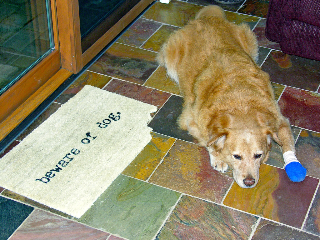
TrackHead Studios - Beware of Dog

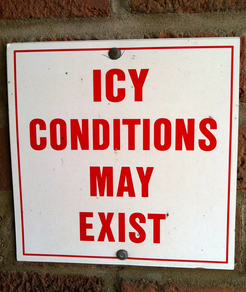
TrackHead Studios - Frozen Landscape 5
TrackHead Studios - Philosophy 101

Who Knew: the Easter Bunny can weld?

2133 Slope View

2133 Stretch View

2133 Streamline View

2131 Portrait View

2133 Landscape View

Morning Reflections

"Barn and Sky". 7-14-2014, near Felicity, Ohio.

Trees on the Hill

Fog Mirror

The old power plant always looks like an ominous castle in the fog.

Out trying to catch some fog shots.

2137 Landscape View

Rural (13)
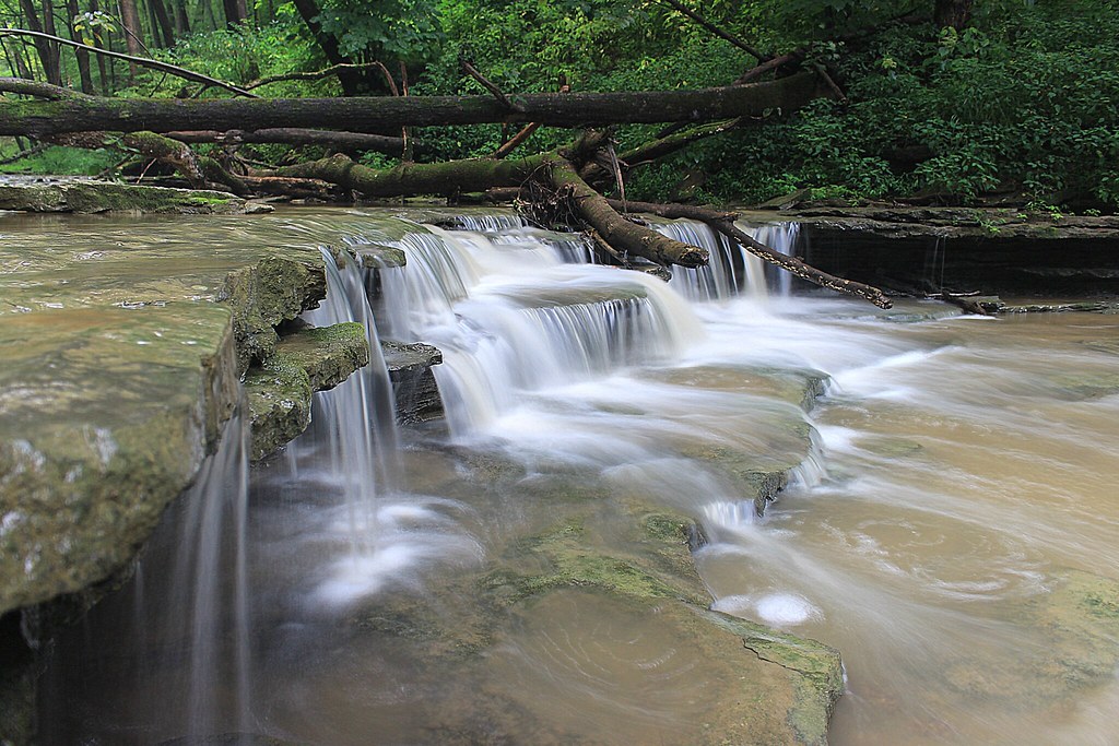
8-22-14, Ulrey Run. EXPLORE 11-16-2014

Sinai, The Begin Of The Day

Gorgeous Mountaineous

Clouds and a Sunset

Marvelous!

Walking Stick

The river is a little choppy.
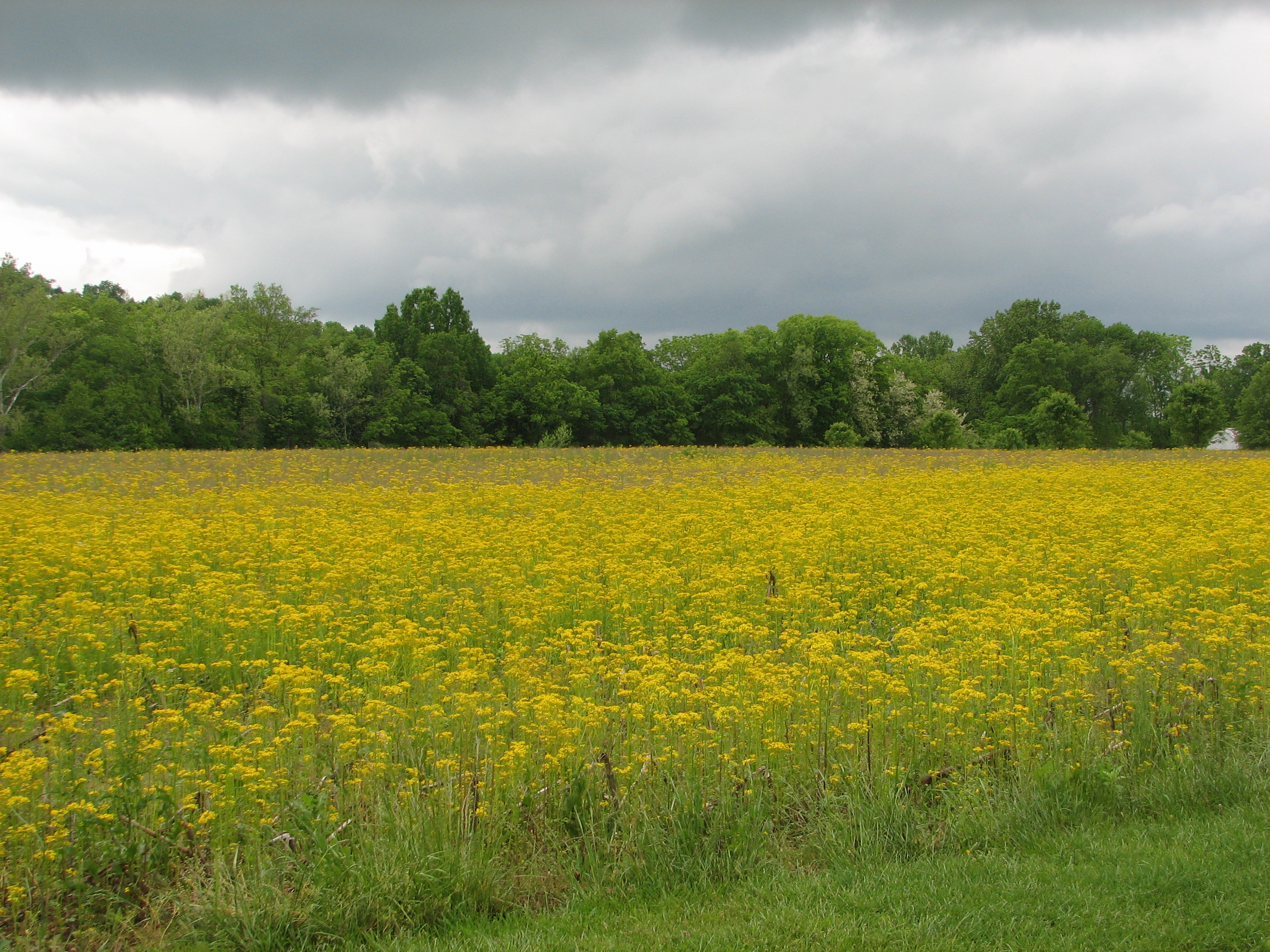
Meadow in Bloom

TrackHead Studios - From The Ground Up

Sunrise In The Desert, 1.1.2006

A beautiful sunrise off the highway
Topographic Map of Washington Trace Rd, California, KY, USA
Find elevation by address:

Places near Washington Trace Rd, California, KY, USA:
8645 Washington Trace Rd
Carthage Road
210 Susanna Way
New Richmond
444 Washington St
227 Hamilton St
748 Washington St
300 Caroline St
2901 California Crossroads
Mary Ingles Hwy, Melbourne, KY, USA
2439 Hickorywood Ct
447 Washington St
California
7742 Stonehouse Rd
Ohio Township
124 Brookwood Dr
Fisher Rd, California, KY, USA
Locust St, Moscow, OH, USA
2813 Oh-132
Point Pleasant Cemetery
Recent Searches:
- Elevation of Groblershoop, South Africa
- Elevation of Power Generation Enterprises | Industrial Diesel Generators, Oak Ave, Canyon Country, CA, USA
- Elevation of Chesaw Rd, Oroville, WA, USA
- Elevation of N, Mt Pleasant, UT, USA
- Elevation of 6 Rue Jules Ferry, Beausoleil, France
- Elevation of Sattva Horizon, 4JC6+G9P, Vinayak Nagar, Kattigenahalli, Bengaluru, Karnataka, India
- Elevation of Great Brook Sports, Gold Star Hwy, Groton, CT, USA
- Elevation of 10 Mountain Laurels Dr, Nashua, NH, USA
- Elevation of 16 Gilboa Ln, Nashua, NH, USA
- Elevation of Laurel Rd, Townsend, TN, USA