Elevation of Brookwood Dr, Alexandria, KY, USA
Location: United States > Kentucky > Campbell County > Alexandria >
Longitude: -84.368269
Latitude: 38.952433
Elevation: 201m / 659feet
Barometric Pressure: 99KPa
Elevation Map:
Satellite Map:
Related Photos:

TrackHead Studios - Selfie
General's House, empty at Ft. Thomas

Empty officer's housing in Ft Thomas, Kentucky

Downy woodpecker

J trail (view large)

How To Take Out Two Classics

TrackHead Studios - Bear Blowing Kisses

TrackHead Studios - New Flooring

TrackHead Studios - Oops! She did it.

TrackHead Studios - Brown Smoke

TrackHead Studios - One Big Bowl

Cairo City View
Awesome view out my window this evening! I'm loving this sunshine and warm(ish) weather. #Cincinnati #Ohio #Sunshine #GoldenHour #Photography #SettingSun

TrackHead Studios - Grand Finale

Way to f&%k up a good thing

TrackHead Studios - Gas

TrackHead Studios - Political Bull Shit

TrackHead Studios - Got Wood?

Vertigo warning: Tilt your mobile device exactly 30 degrees to the right to view this from the correct perspective

Who Knew: the Easter Bunny can weld?

solitary metallic green bee

Skipper (2)

TrackHead Studios - Frozen Landscape 5

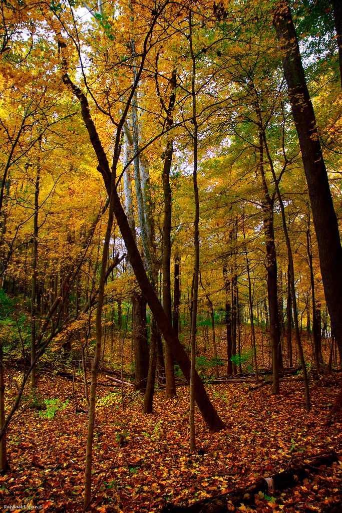
Trees on the Hill

Rural (13)
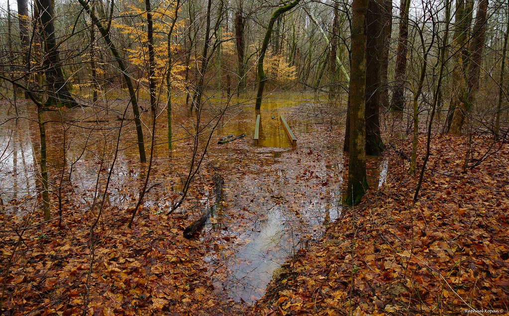
Flood in California woods

Sinai, The Begin Of The Day
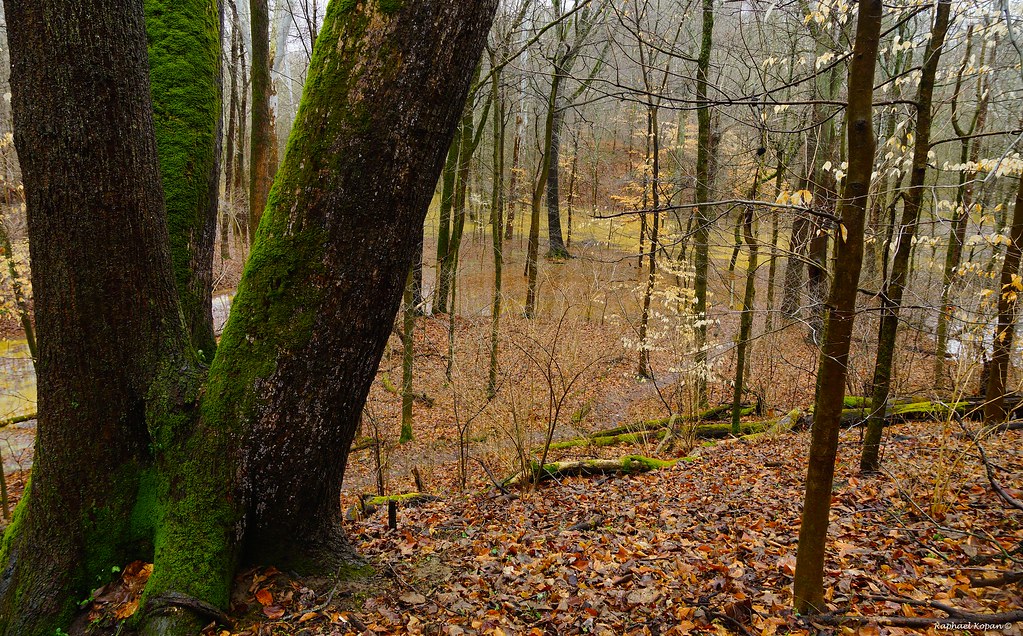
California Woods Park, behind the ranger station

a door in the woods
Trilluim Trailhead
Ridge trail
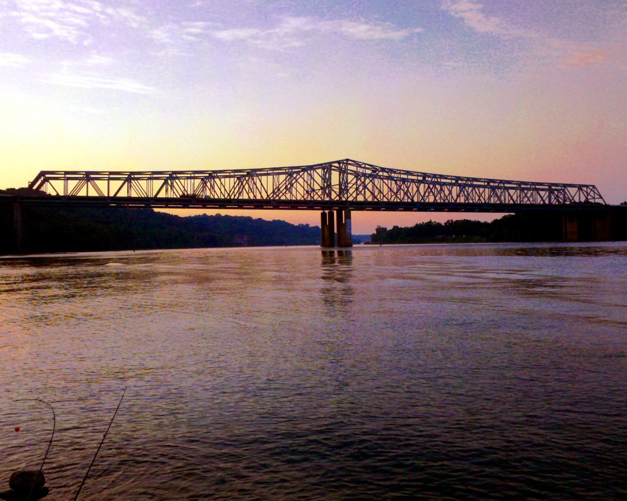
Fishing by the River
Flood in California woods (2)

Gorgeous Mountaineous

Pine Siskin

TrackHead Studios - From The Ground Up

Walking Stick

Clouds and a Sunset

The river is a little choppy.
The Path

Marvelous!
Coney Island, Cincinnati
Topographic Map of Brookwood Dr, Alexandria, KY, USA
Find elevation by address:

Places near Brookwood Dr, Alexandria, KY, USA:
2439 Hickorywood Ct
7742 Stonehouse Rd
Carthage Road
4 Mile Rd, Melbourne, KY, USA
8645 Washington Trace Rd
Washington Trace Rd, California, KY, USA
Mary Ingles Hwy, Melbourne, KY, USA
210 Susanna Way
New Richmond
2901 California Crossroads
227 Hamilton St
Fisher Rd, California, KY, USA
444 Washington St
300 Caroline St
748 Washington St
68 Locust Hill Rd
447 Washington St
Ohio Township
California
1262 10 Mile Rd
Recent Searches:
- Elevation of S Layton Cir W, Layton, UT, USA
- Elevation of F36W+3M, Mussoorie, Uttarakhand, India
- Elevation of Fairland Ave, Fairhope, AL, USA
- Elevation of Sunset Dr, Richmond, VA, USA
- Elevation of Grodna District, Hrodna Region, Belarus
- Elevation of Hrodna, Hrodna Region, Belarus
- Elevation of Sandia Derby Estates, Tijeras, NM, USA
- Elevation of 23 Sunrise View Ct, Tijeras, NM, USA
- Elevation of Lytham Ln, Katy, TX, USA
- Elevation of Tater Hill, Oklahoma, USA