Elevation of Washington St, Webster Springs, WV, USA
Location: United States > West Virginia > Webster County > Northern >
Longitude: -80.394112
Latitude: 38.4656897
Elevation: 459m / 1506feet
Barometric Pressure: 96KPa
Elevation Map:
Satellite Map:
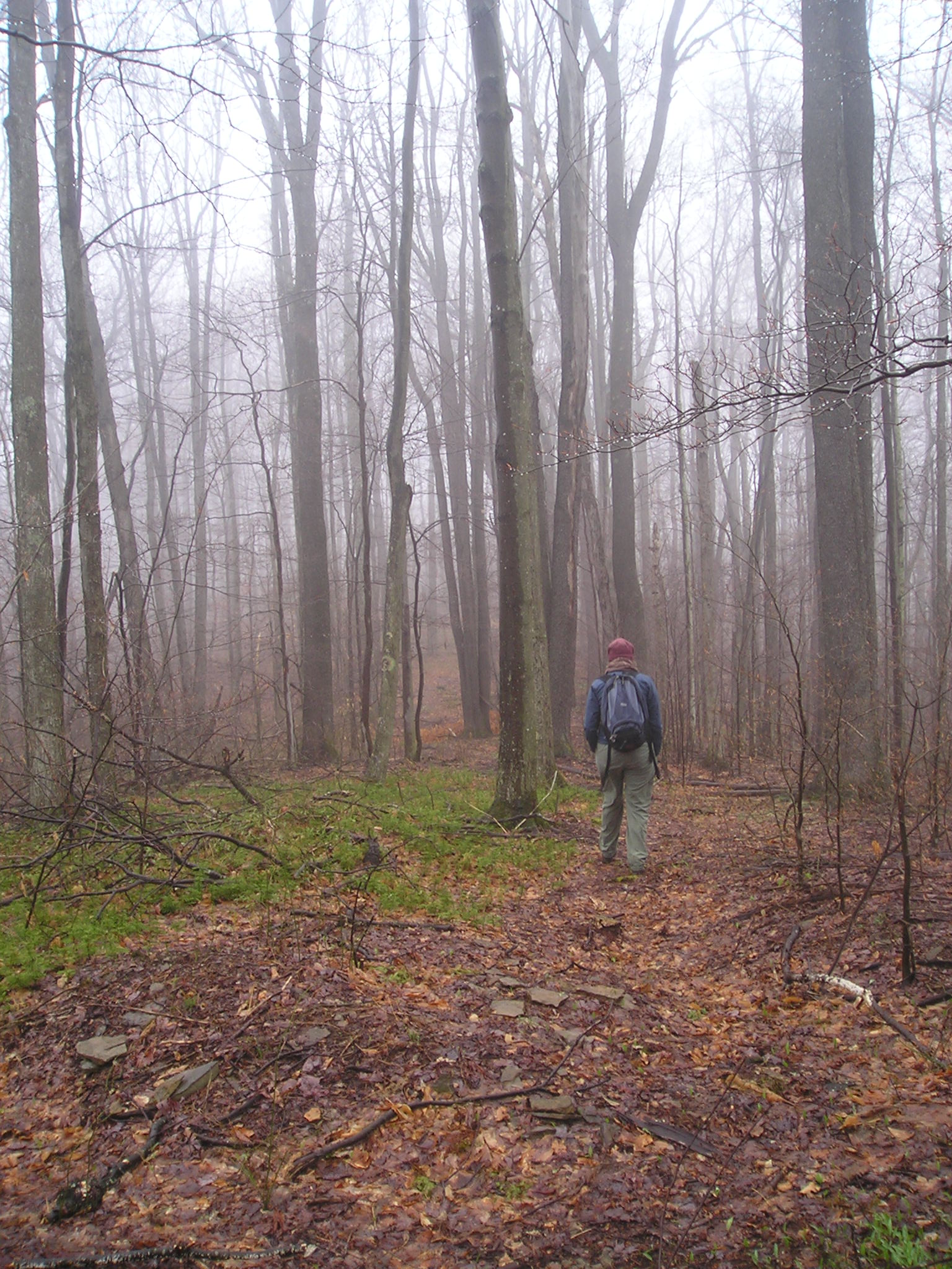
Related Photos:

P6113016-19-panorama
Example 2008 Digital Photo Challenge Entry
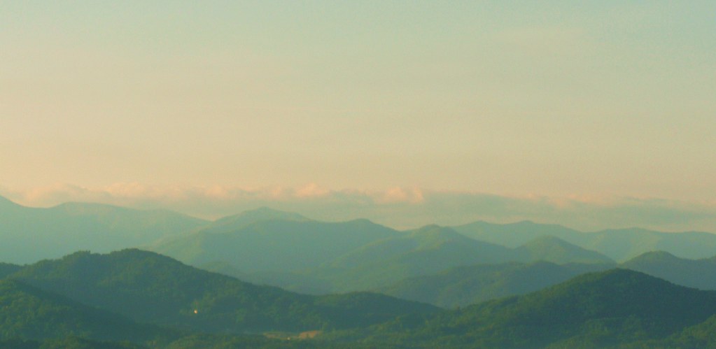
Sunrise in the Smokies
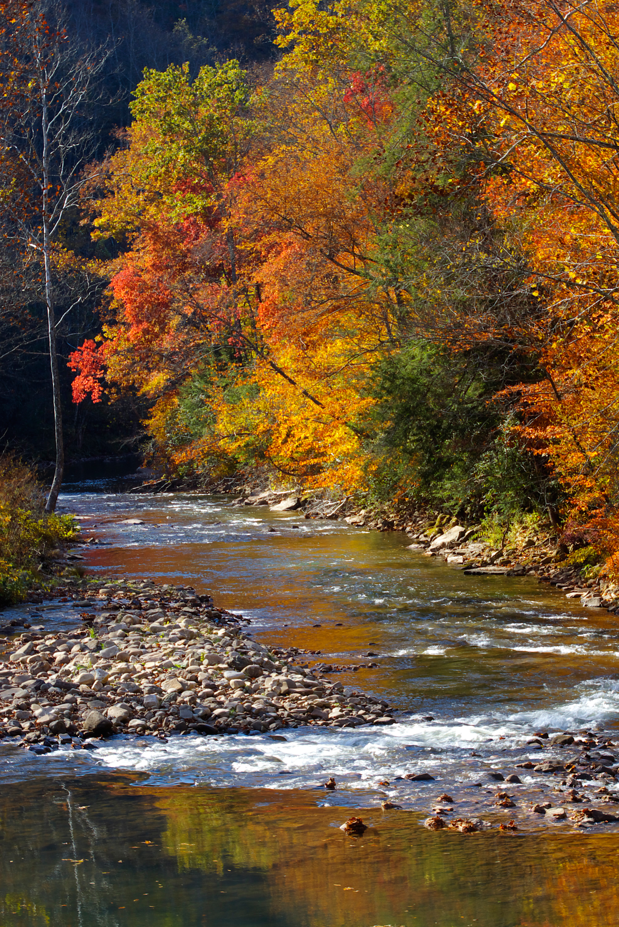
Elk River 2010
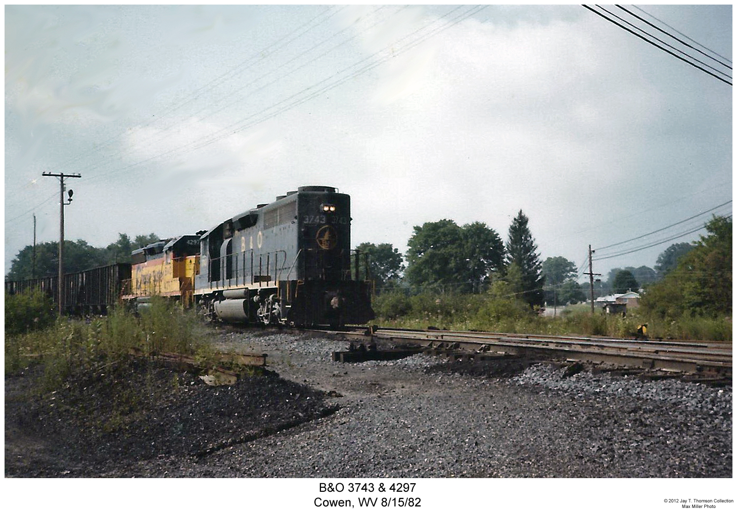
B&O 3743 & 4297
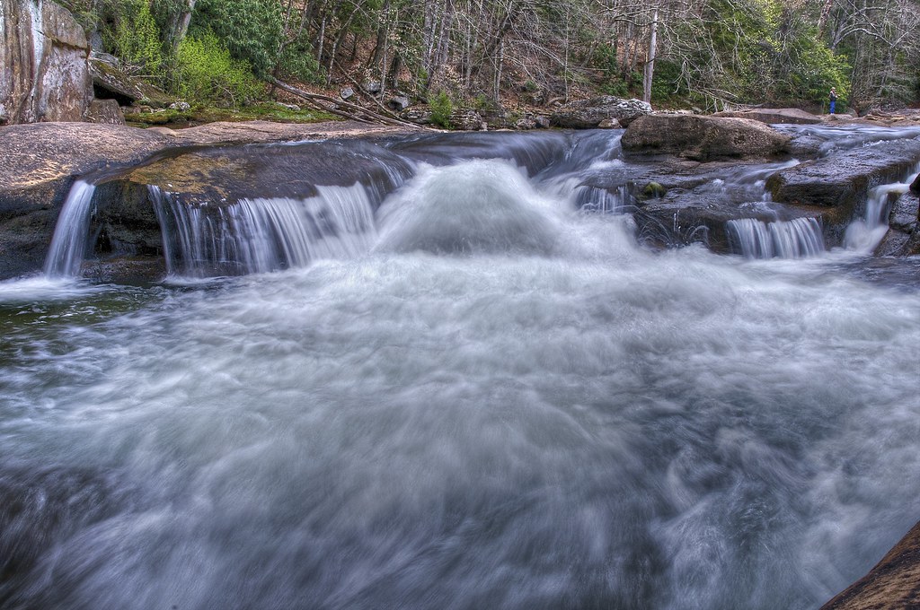
Gentle Cascade
Williams River in Spring
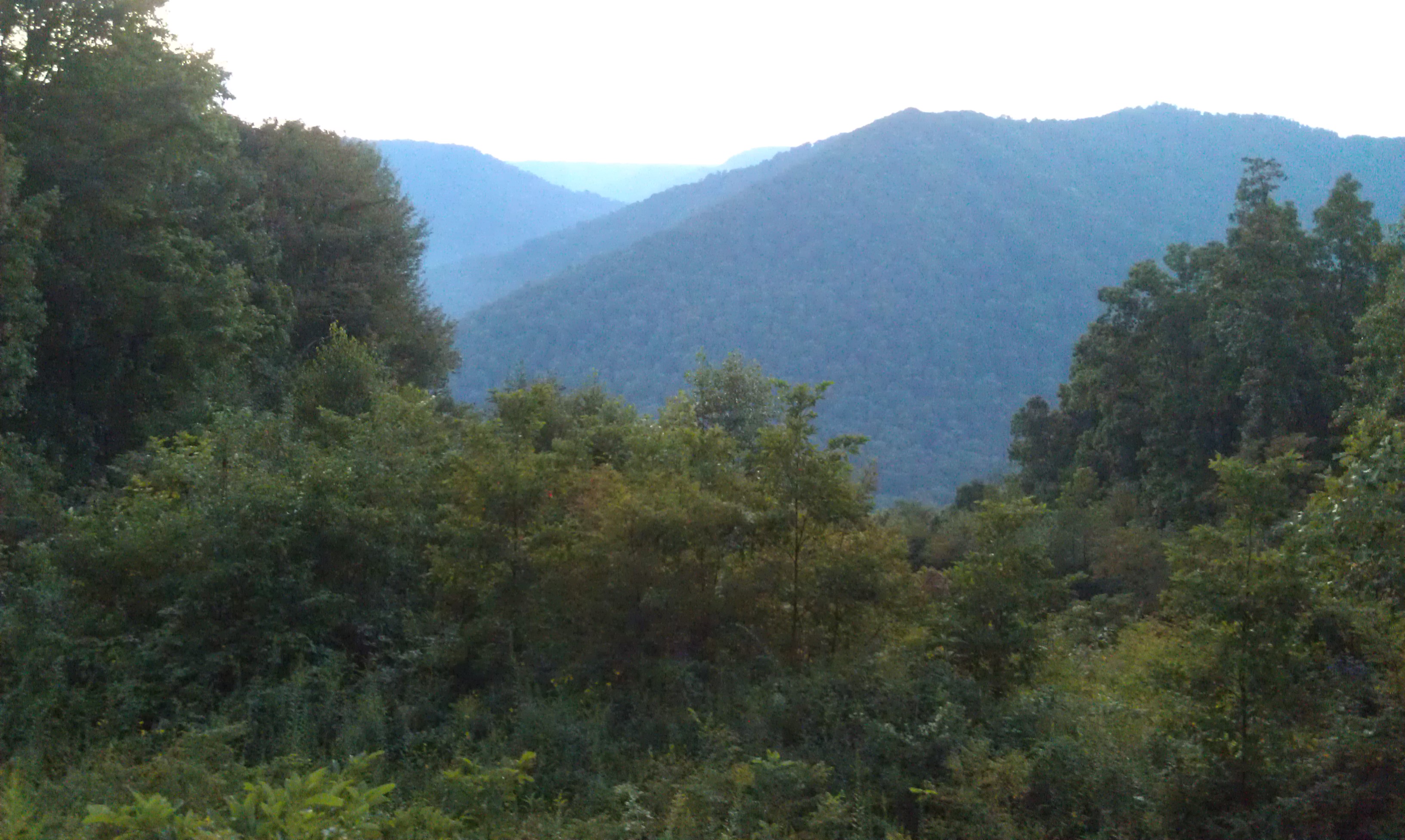
Monongahela National Forest 1
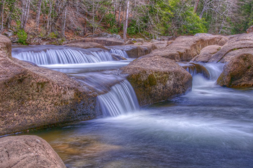
Boiling Torrent on the Williams River

Webster Springs, WV
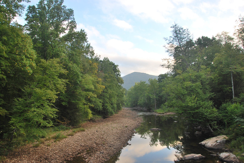
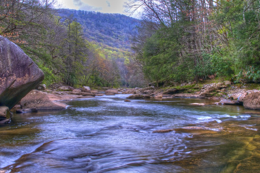
Williams River
Evening in Webster Springs, WV

Williams River
Topographic Map of Washington St, Webster Springs, WV, USA
Find elevation by address:

Places near Washington St, Webster Springs, WV, USA:
Cherry Falls Pottery
1st Street
Webster Springs
Dorrtown
Webster County
Central
Gauley River Rd, Webster Springs, WV, USA
Bergoo
Northern
Diana
1 Highlander Dr
Lick Run Road
West Virginia
Guardian Dr, Diana, WV, USA
461 Co Rte 15/9
Southern
6698 Webster Rd
Price Glade Run
Price Glade Run
Erbacon Rd, Erbacon, WV, USA
Recent Searches:
- Elevation of Zu den Ihlowbergen, Althüttendorf, Germany
- Elevation of Badaber, Peshawar, Khyber Pakhtunkhwa, Pakistan
- Elevation of SE Heron Loop, Lincoln City, OR, USA
- Elevation of Slanický ostrov, 01 Námestovo, Slovakia
- Elevation of Spaceport America, Co Rd A, Truth or Consequences, NM, USA
- Elevation of Warwick, RI, USA
- Elevation of Fern Rd, Whitmore, CA, USA
- Elevation of 62 Abbey St, Marshfield, MA, USA
- Elevation of Fernwood, Bradenton, FL, USA
- Elevation of Felindre, Swansea SA5 7LU, UK