Elevation of Gauley River Rd, Webster Springs, WV, USA
Location: United States > West Virginia > Webster County >
Longitude: -80.310509
Latitude: 38.427228
Elevation: 748m / 2454feet
Barometric Pressure: 93KPa
Elevation Map:
Satellite Map:
Related Photos:

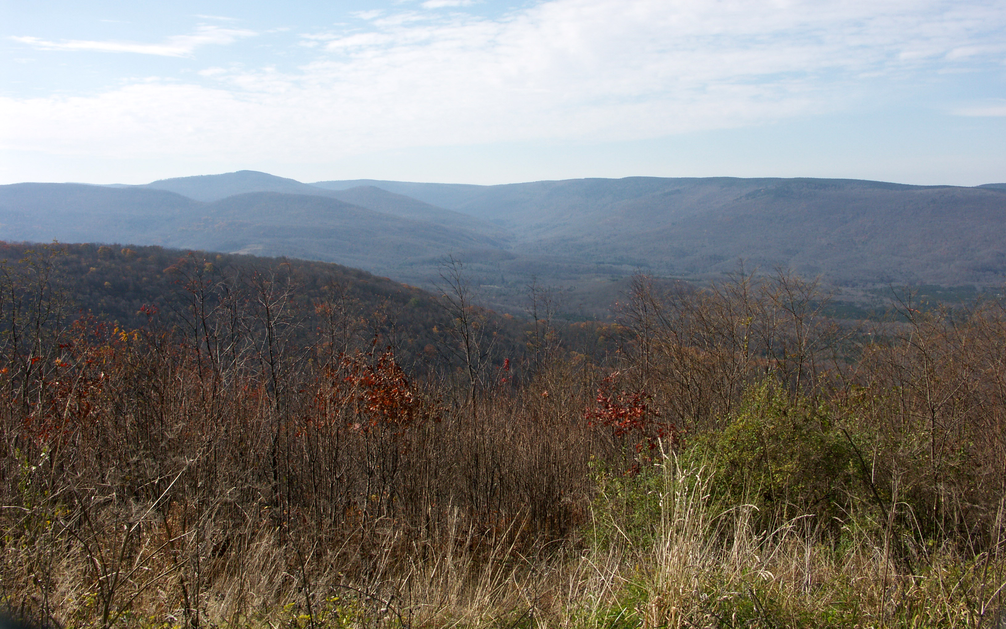
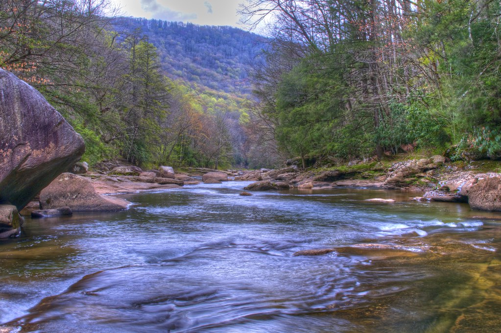
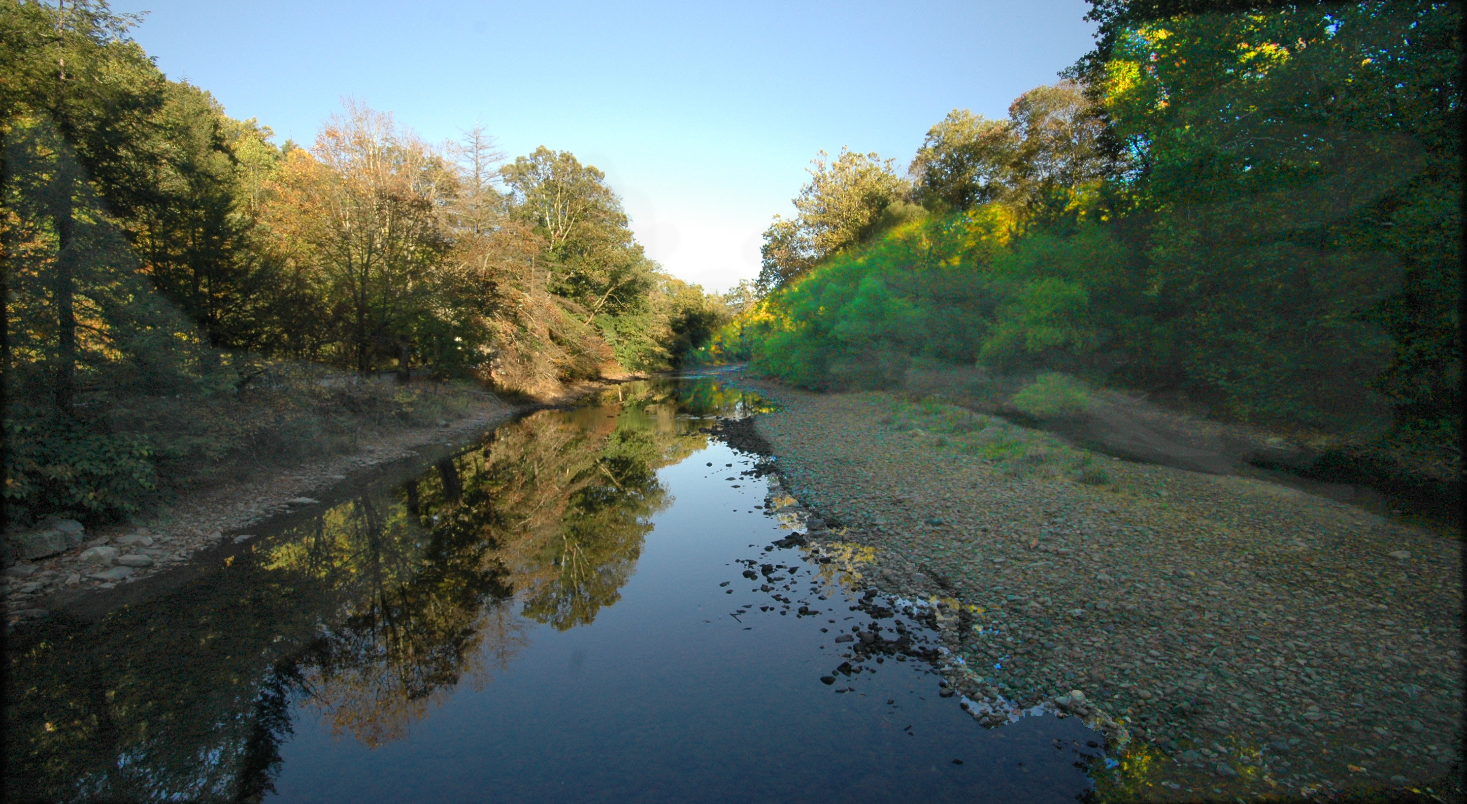
P6113016-19-panorama
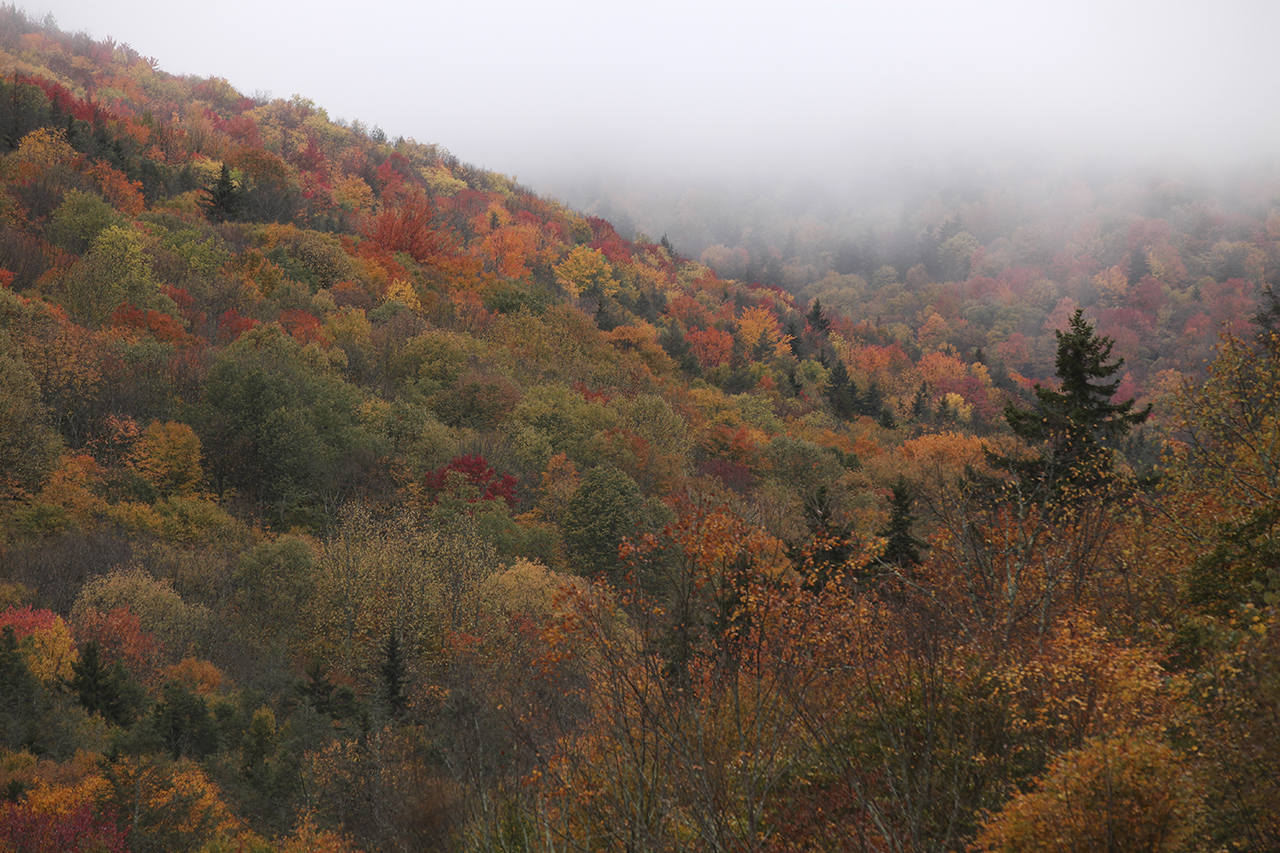
Highland Scenic Highway View 1
Example 2008 Digital Photo Challenge Entry

Honeycomb Rocks
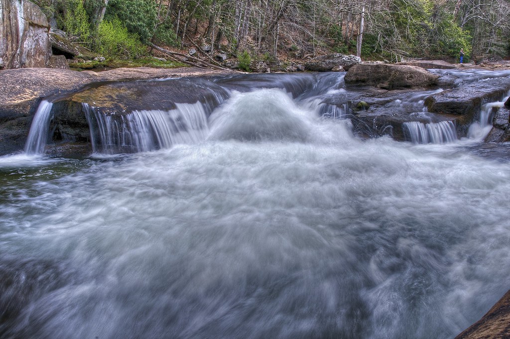
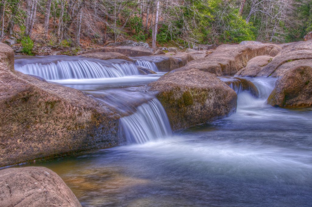
Boiling Torrent on the Williams River
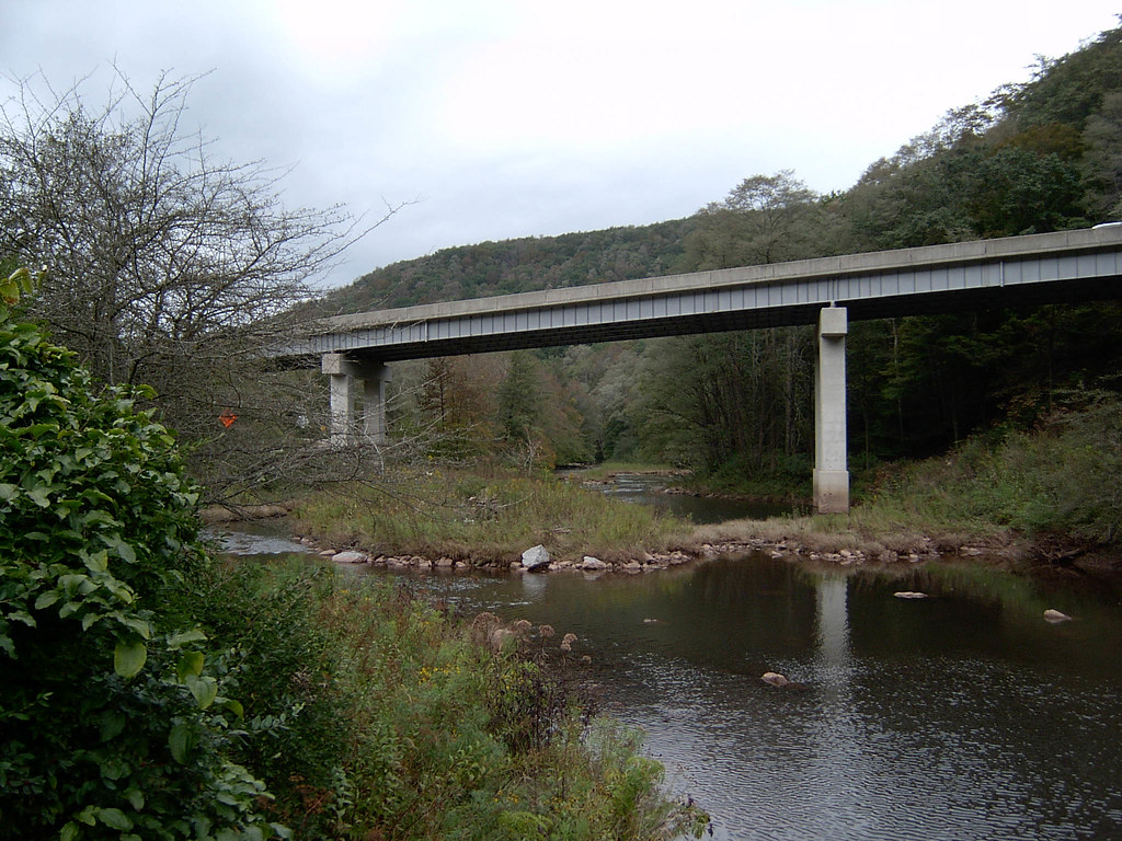
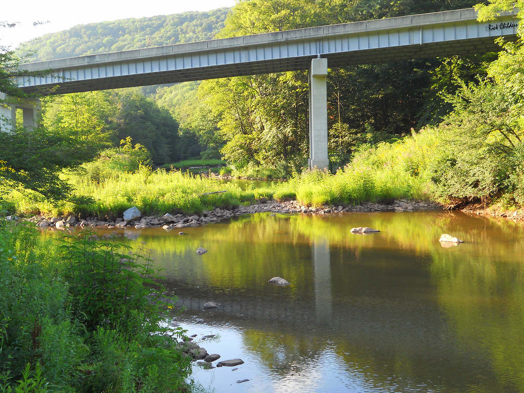
Highland Scenic Highway Bridge 10-5-2003 Photo

October 2012

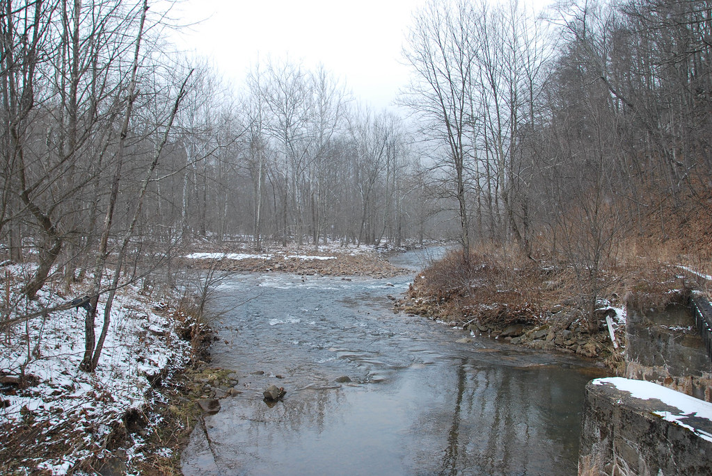
Elk River 2010
Gentle Cascade
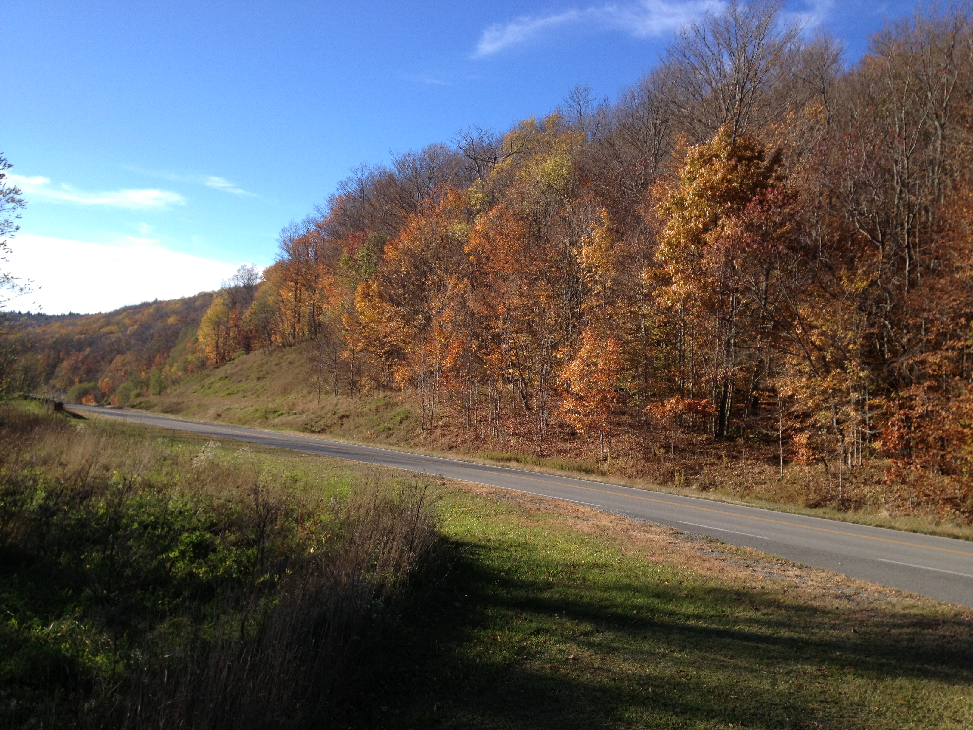
photo (5)
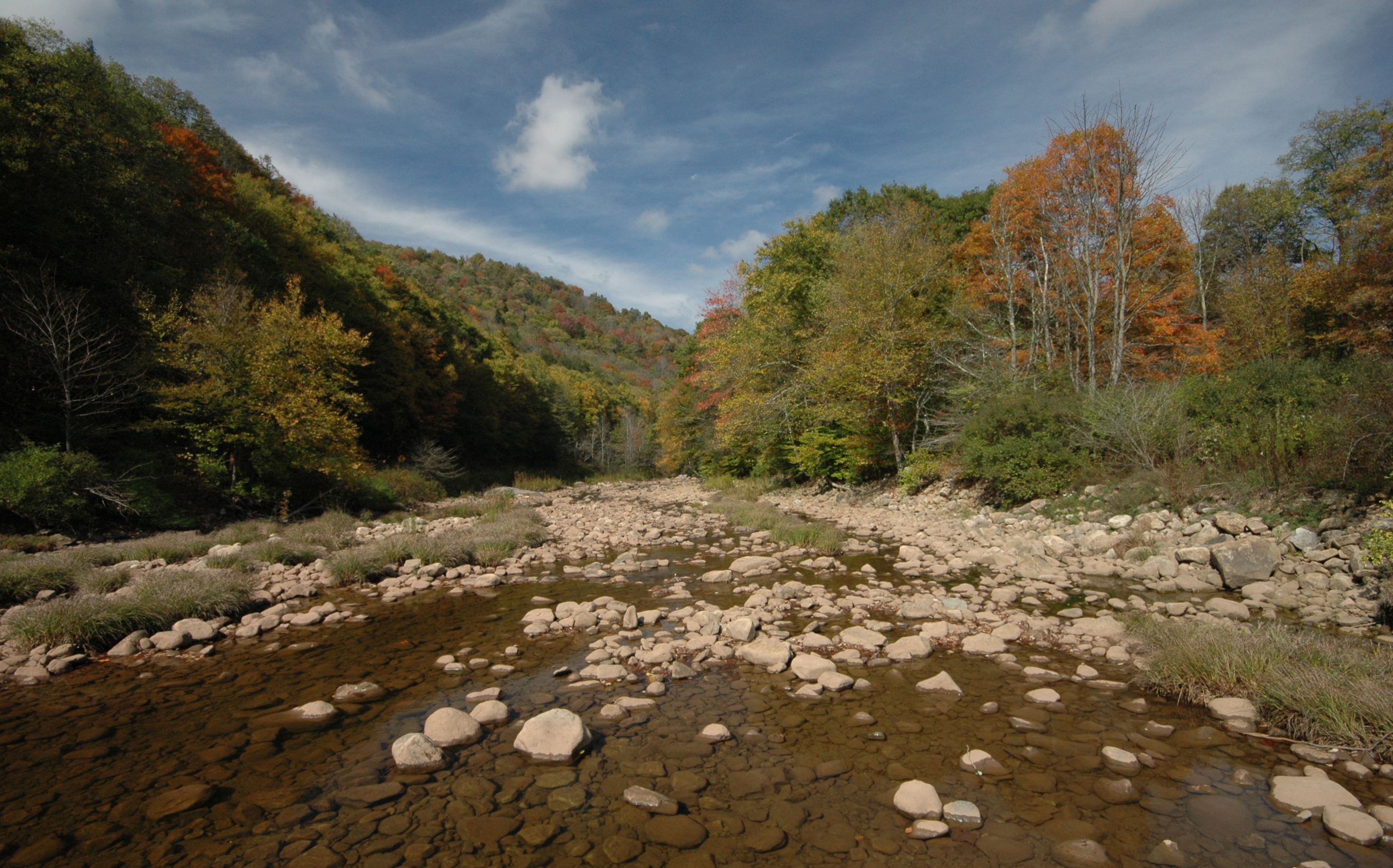
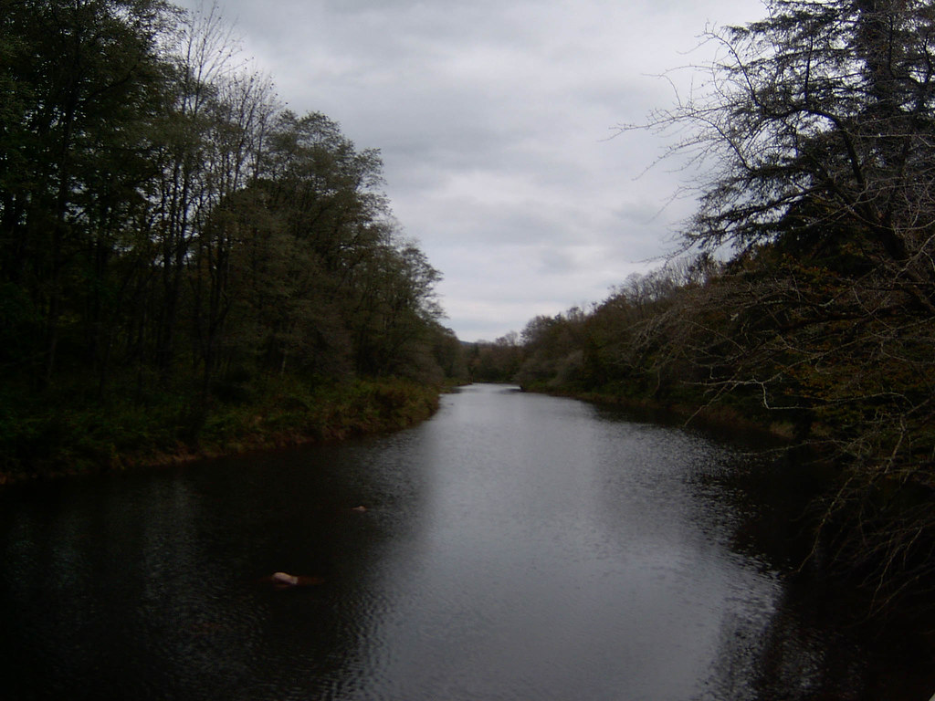
Upper Williams River

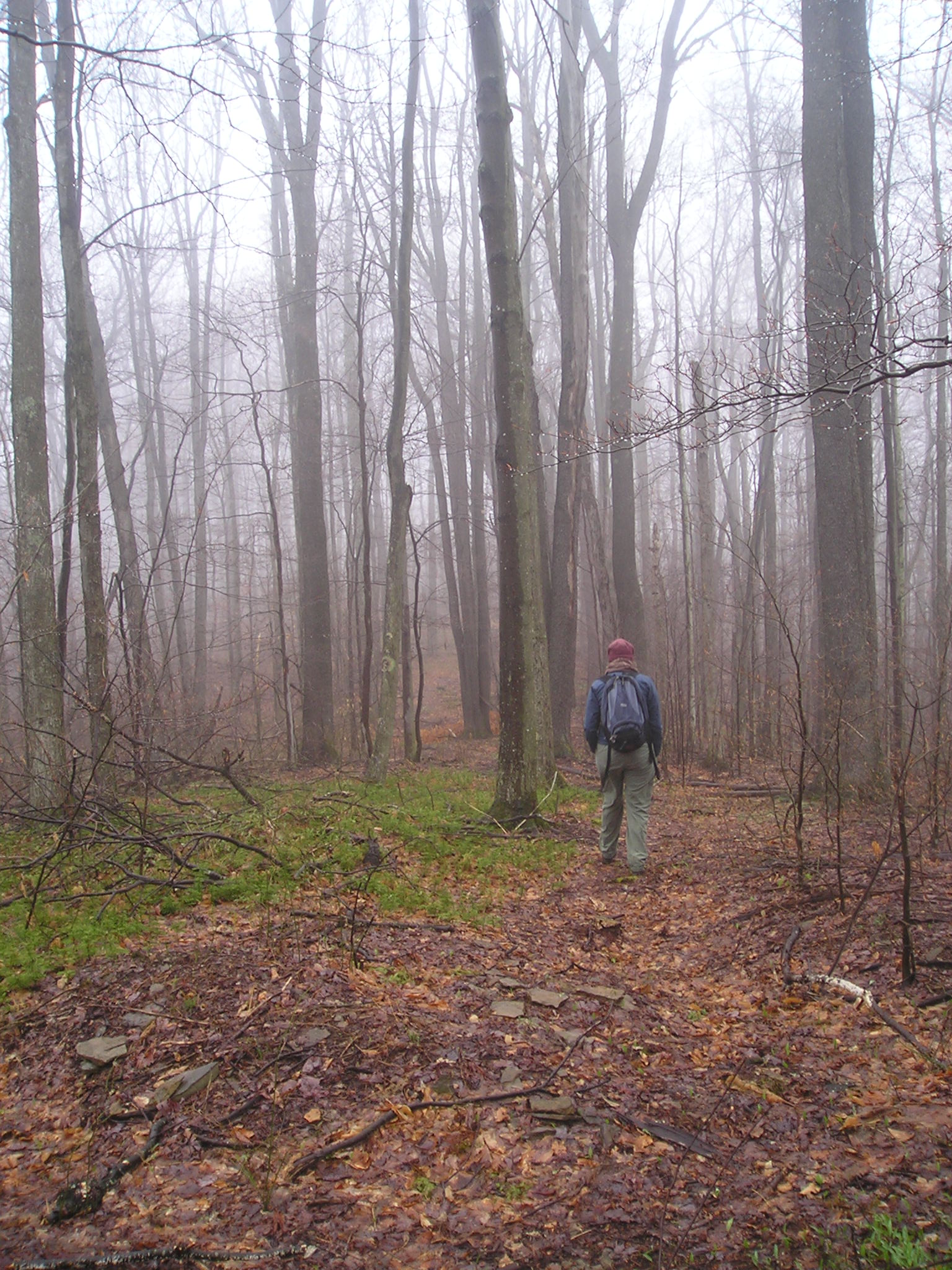
Highland Scenic Highway
Slatyfork, WV
Williams River in Spring
Highland Scenic Highway
Highland Scenic Highway

Slatyfork, WV
Tea Creek
Monongahela National Forest 1
Looking Upstream at Williams River 10-5-2003 Photo

Webster Springs, WV
Topographic Map of Gauley River Rd, Webster Springs, WV, USA
Find elevation by address:

Places near Gauley River Rd, Webster Springs, WV, USA:
Bergoo
Cherry Falls Pottery
Washington St, Webster Springs, WV, USA
Webster County
1st Street
Webster Springs
Northern
Dorrtown
Sharp Knob
Central
Valley Fork Road
Southern
1 Highlander Dr
Droop, WV, USA
Diana
Lick Run Road
West Virginia
Summit Lake Campground
Balli Farm
6698 Webster Rd
Recent Searches:
- Elevation of Corso Fratelli Cairoli, 35, Macerata MC, Italy
- Elevation of Tallevast Rd, Sarasota, FL, USA
- Elevation of 4th St E, Sonoma, CA, USA
- Elevation of Black Hollow Rd, Pennsdale, PA, USA
- Elevation of Oakland Ave, Williamsport, PA, USA
- Elevation of Pedrógão Grande, Portugal
- Elevation of Klee Dr, Martinsburg, WV, USA
- Elevation of Via Roma, Pieranica CR, Italy
- Elevation of Tavkvetili Mountain, Georgia
- Elevation of Hartfords Bluff Cir, Mt Pleasant, SC, USA