Elevation of Washington St, Delia, KS, USA
Location: United States > Kansas > Jackson County > Washington > Delia >
Longitude: -95.967499
Latitude: 39.2412265
Elevation: 300m / 984feet
Barometric Pressure: 98KPa
Elevation Map:
Satellite Map:
Related Photos:

A view of Delia, Kansas
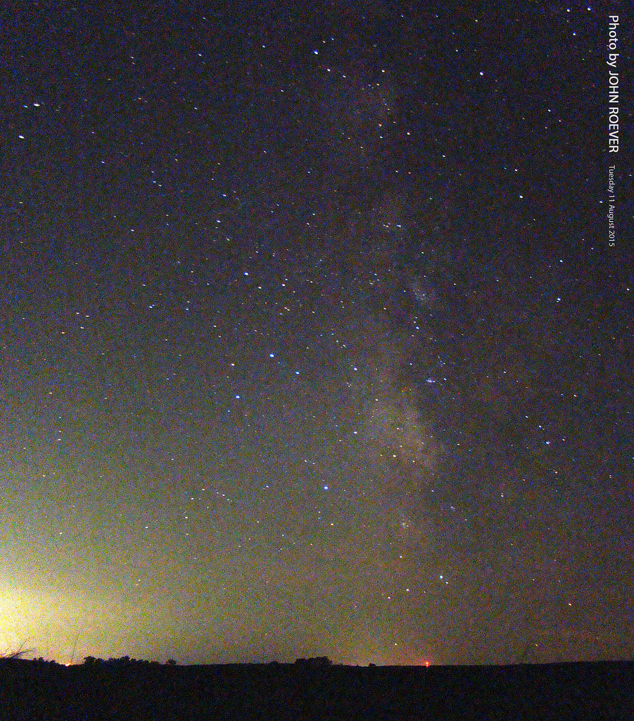
Milky Way, 11 Aug 2015

Cold Kansas morning on the Kaw River

Shanwee State Lake 001

A field outside of Delia, Kansas
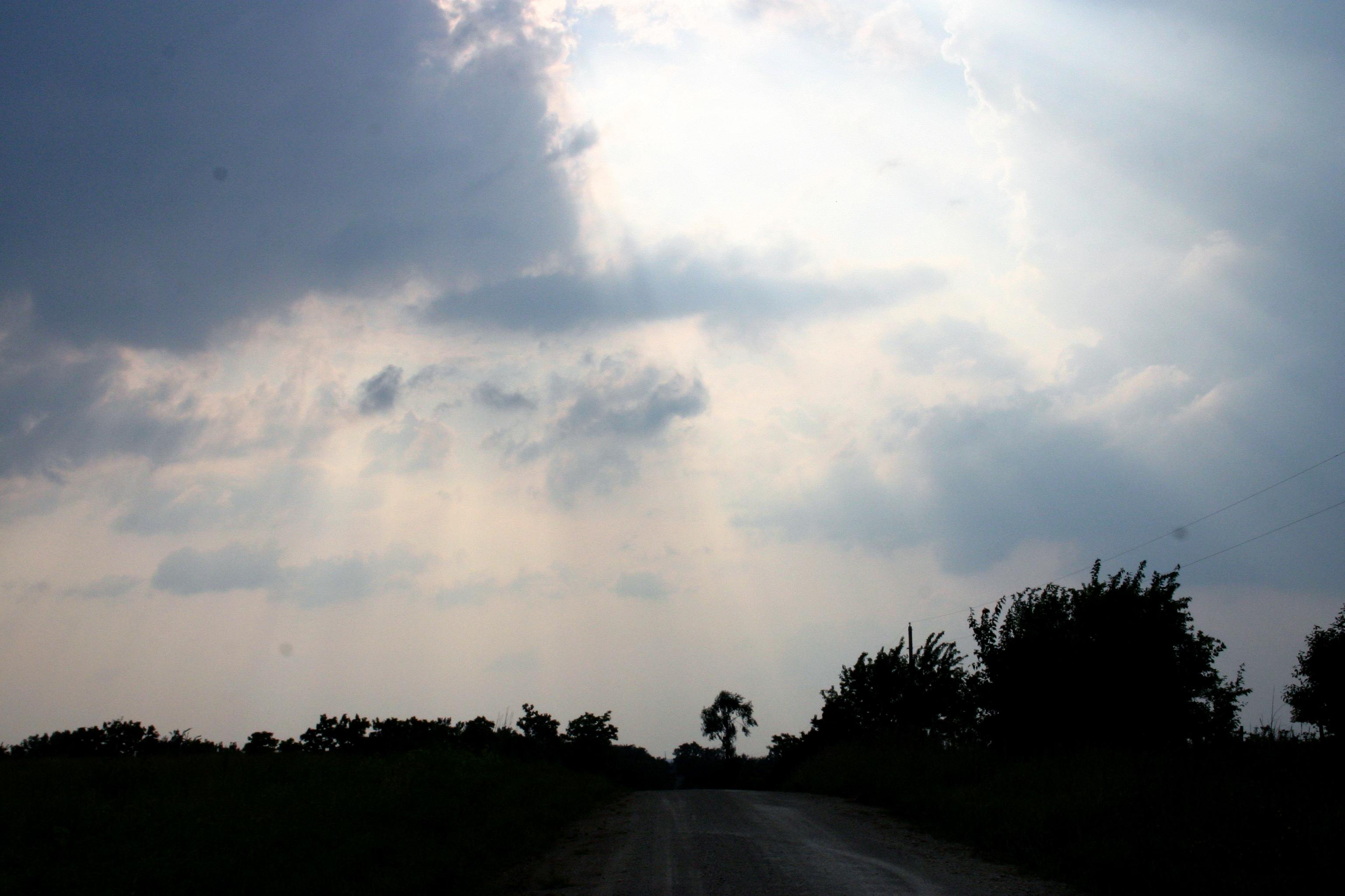
Delia sky
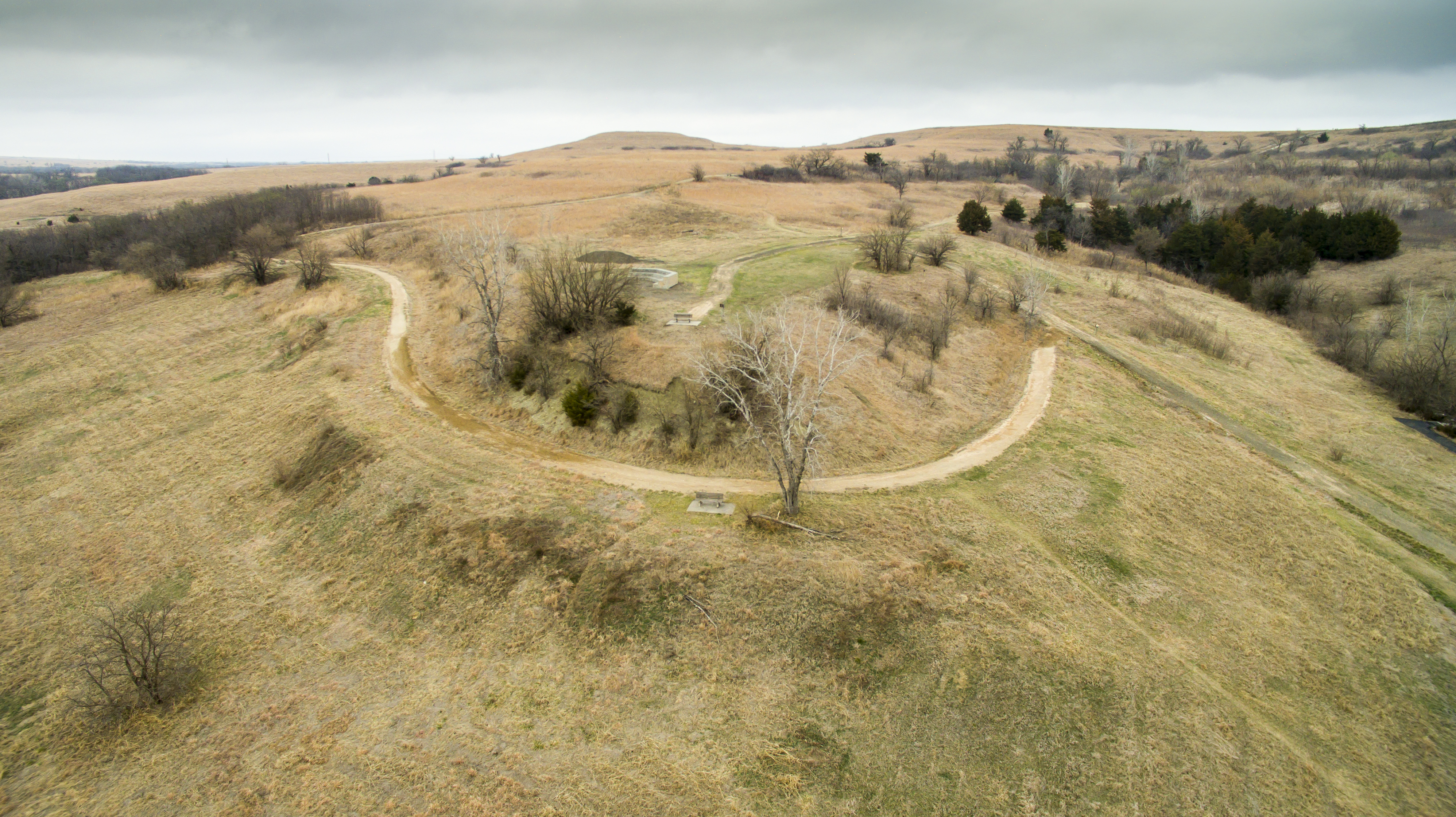
Oregon Trail Nature Park.
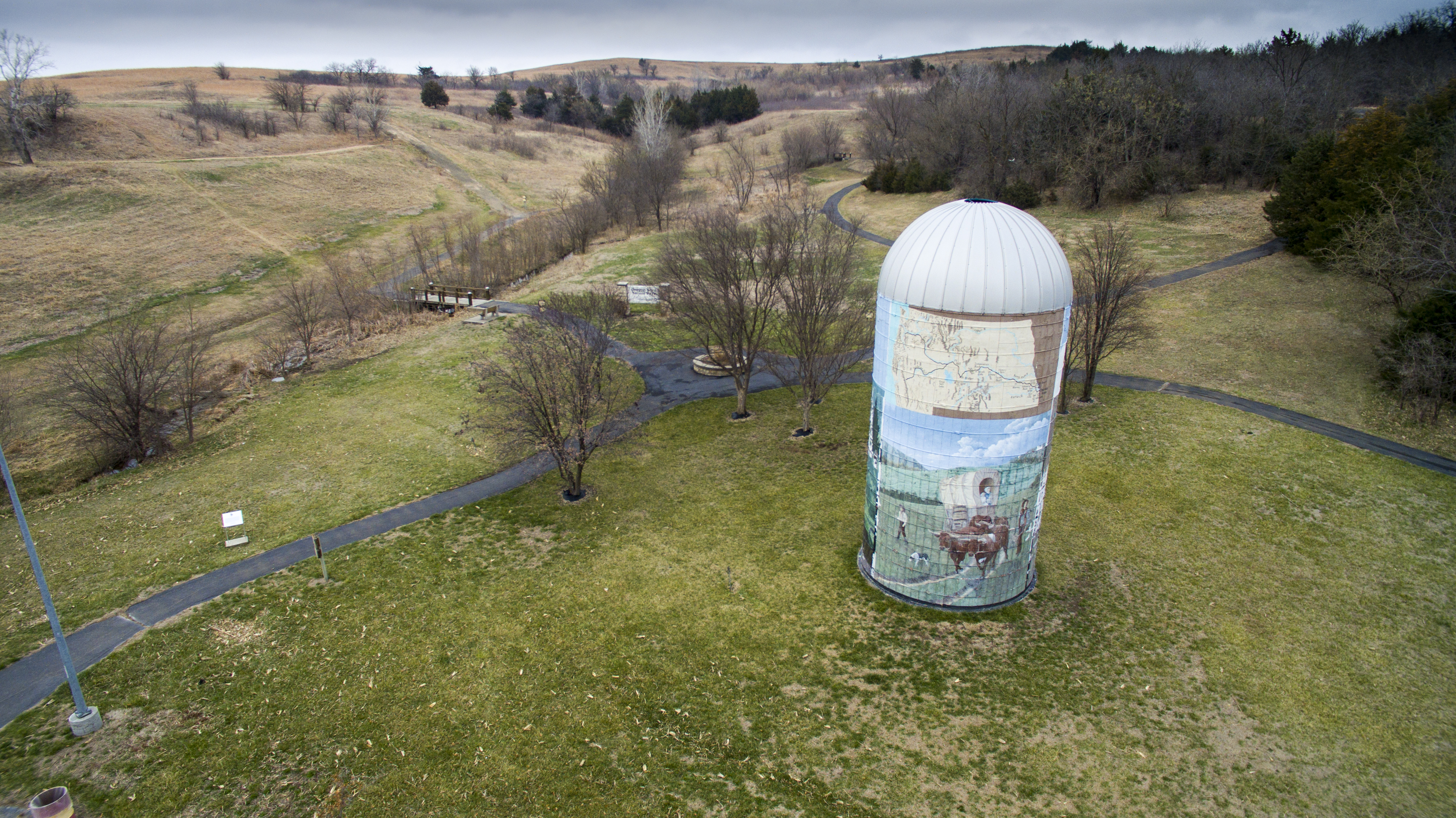
Oregon Trail Nature Park.
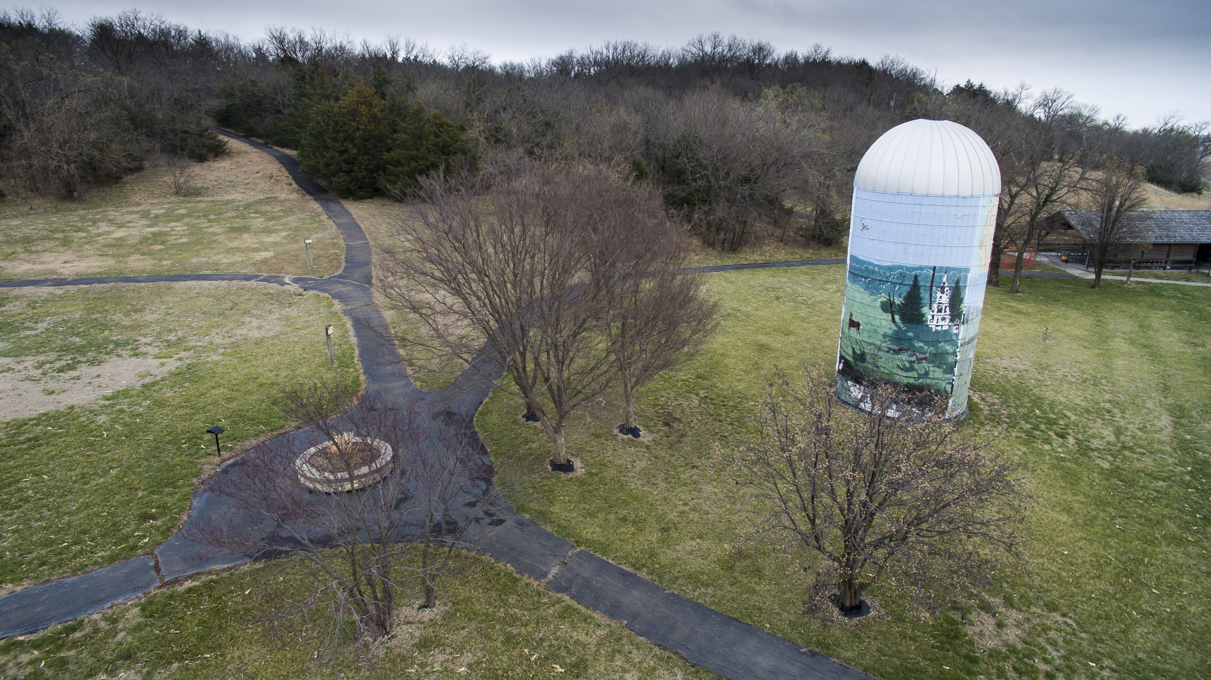
Oregon Trail Nature Park.

Starry Night and Topeka's Lights, 11 Aug 2015
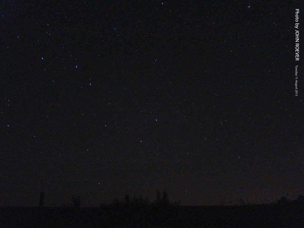
Big Dipper, 11 Aug 2015
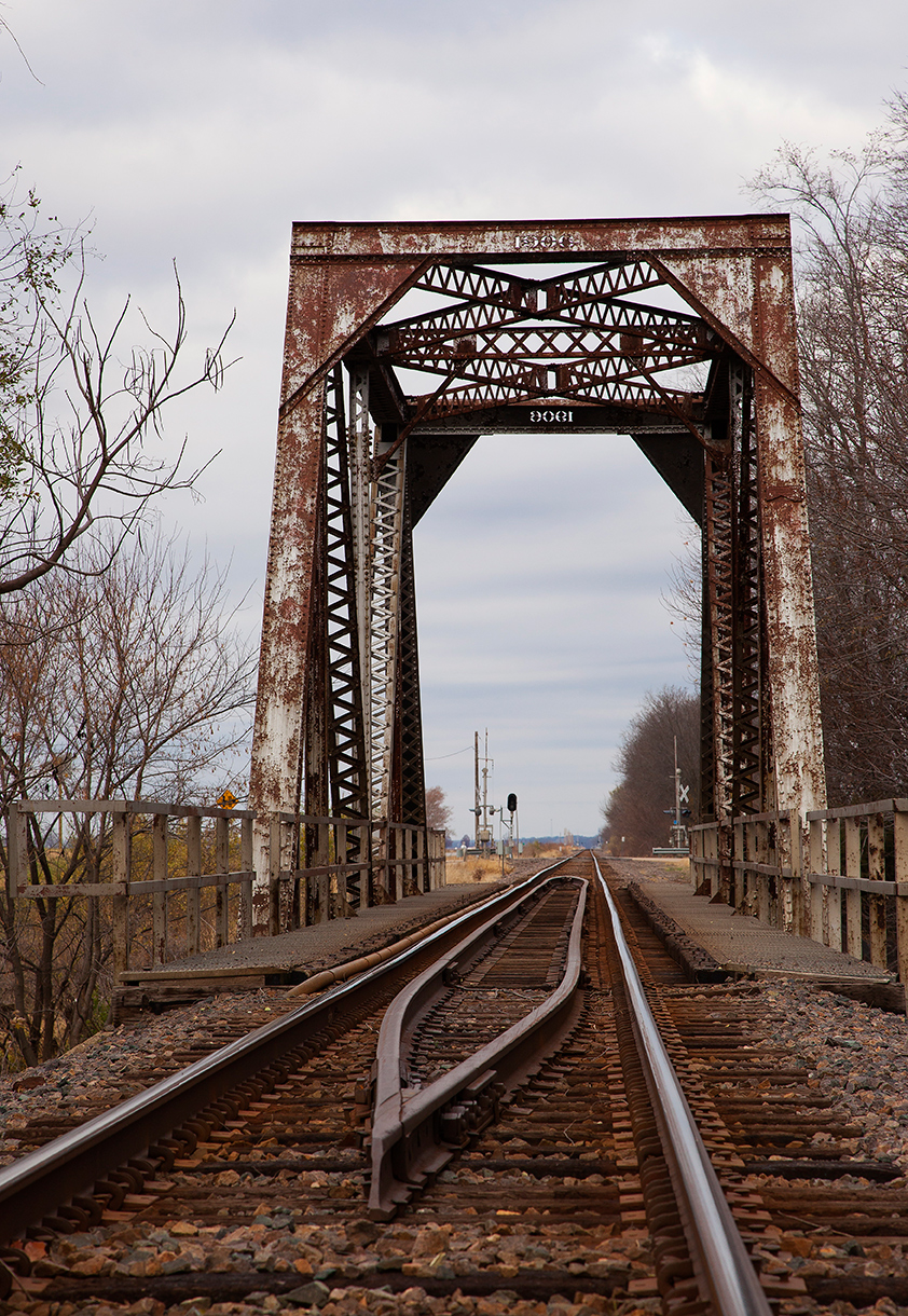
train bridge
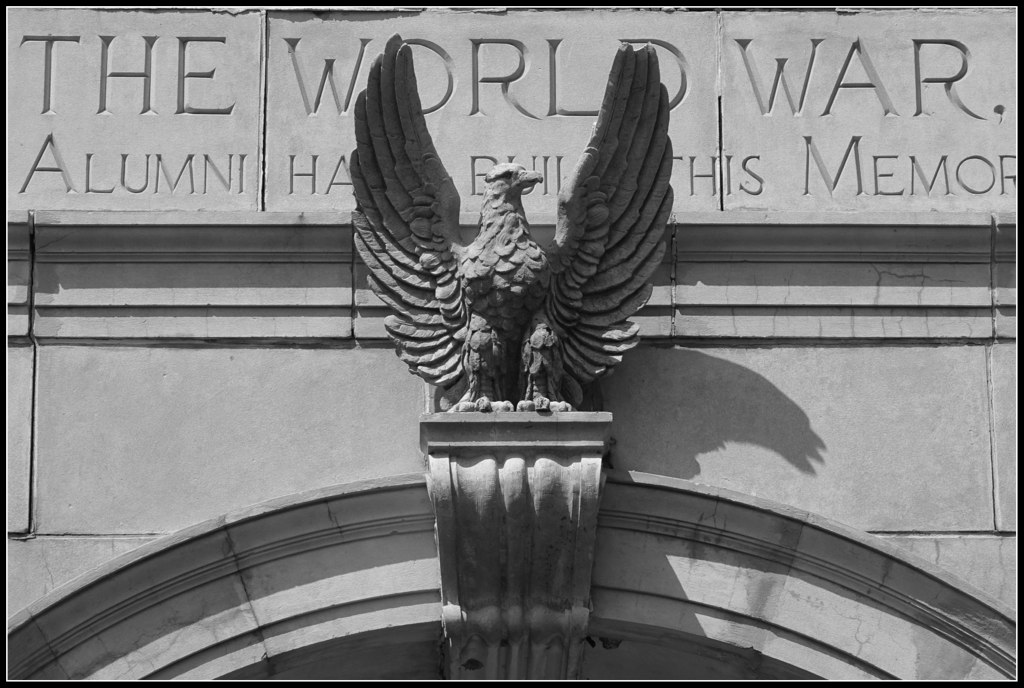
World War I Memorial Arch
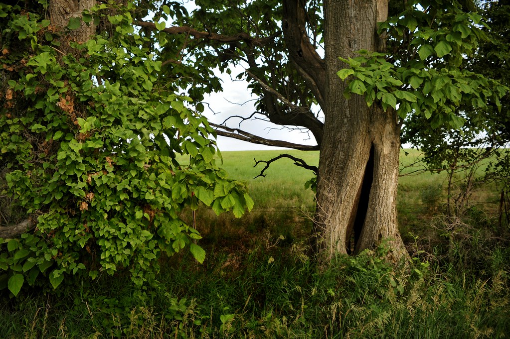
See Through Tree
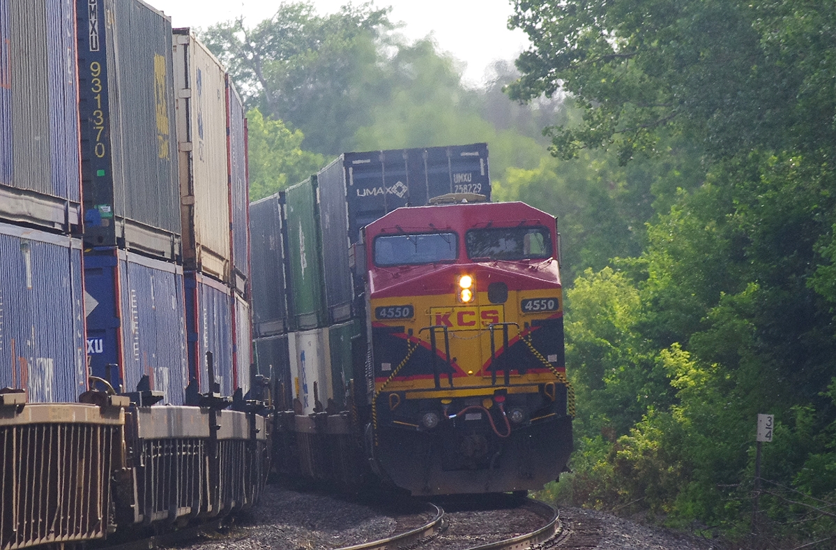
DPU 4550
Topographic Map of Washington St, Delia, KS, USA
Find elevation by address:

Places near Washington St, Delia, KS, USA:
Delia
Washington
Silver Lake, KS, USA
200 E Mission St
Pearl St, Rossville, KS, USA
606 N 5th St #6
606 N 5th St #6
606 N 6th St
Main St, Emmett, KS, USA
Emmett
103 Park Ave
W Bertrand Ave, St Marys, KS, USA
Saint Marys
St. Marys
Emmett
Willard St, Topeka, KS, USA
Willard
Westar - Jeffrey Energy Center
Pierce Street & 6th Street
4th St, Maple Hill, KS, USA
Recent Searches:
- Elevation of Corso Fratelli Cairoli, 35, Macerata MC, Italy
- Elevation of Tallevast Rd, Sarasota, FL, USA
- Elevation of 4th St E, Sonoma, CA, USA
- Elevation of Black Hollow Rd, Pennsdale, PA, USA
- Elevation of Oakland Ave, Williamsport, PA, USA
- Elevation of Pedrógão Grande, Portugal
- Elevation of Klee Dr, Martinsburg, WV, USA
- Elevation of Via Roma, Pieranica CR, Italy
- Elevation of Tavkvetili Mountain, Georgia
- Elevation of Hartfords Bluff Cir, Mt Pleasant, SC, USA