Elevation of Washington, KS, USA
Location: United States > Kansas > Brown County >
Longitude: -95.414900
Latitude: 39.7113309
Elevation: 340m / 1115feet
Barometric Pressure: 97KPa
Elevation Map:
Satellite Map:
Related Photos:
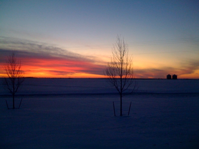
Cold pretty sunset in Kansas at my folks on Christmas Eve
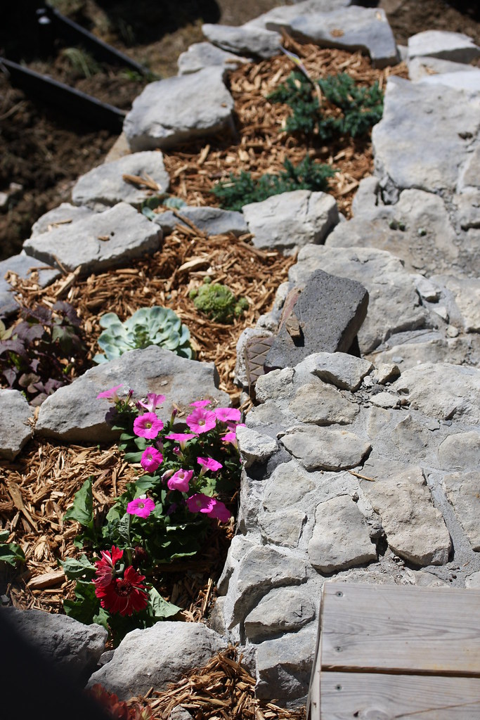
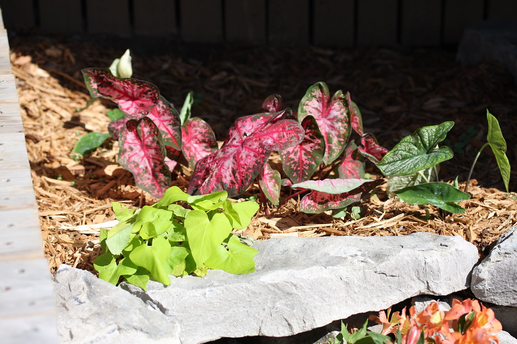
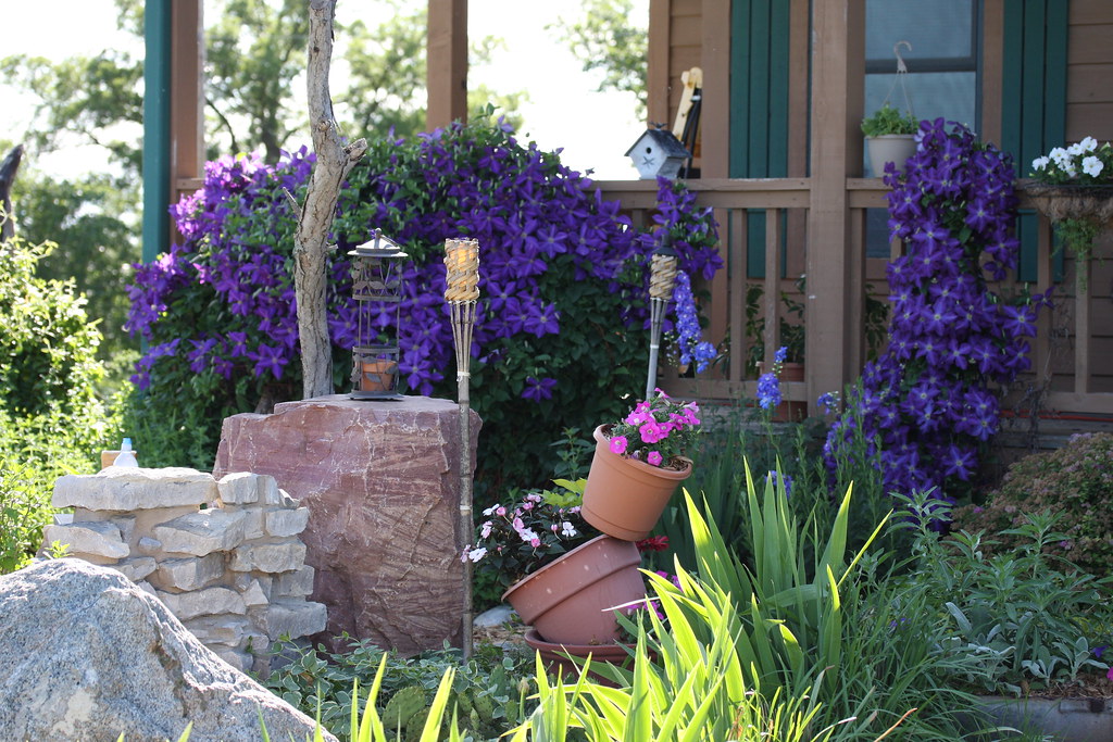
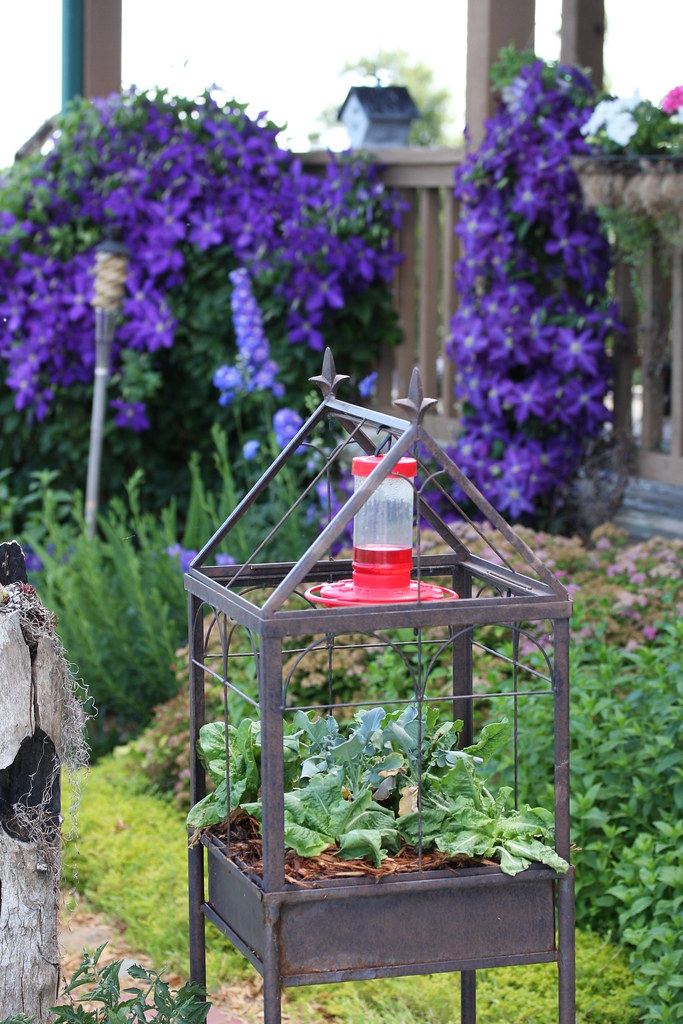
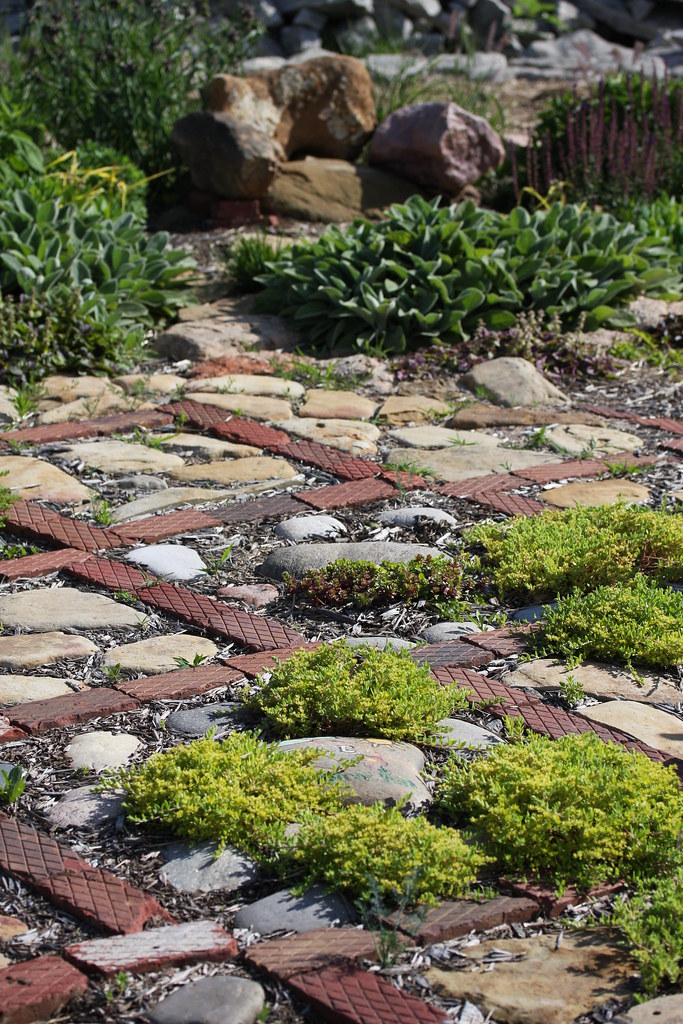
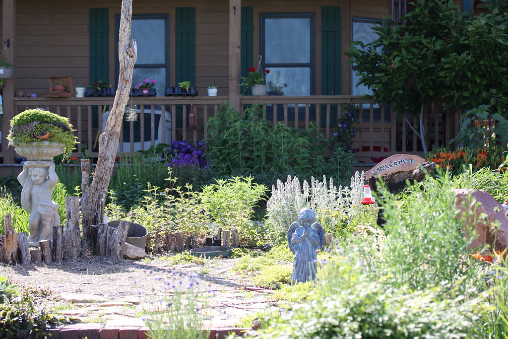
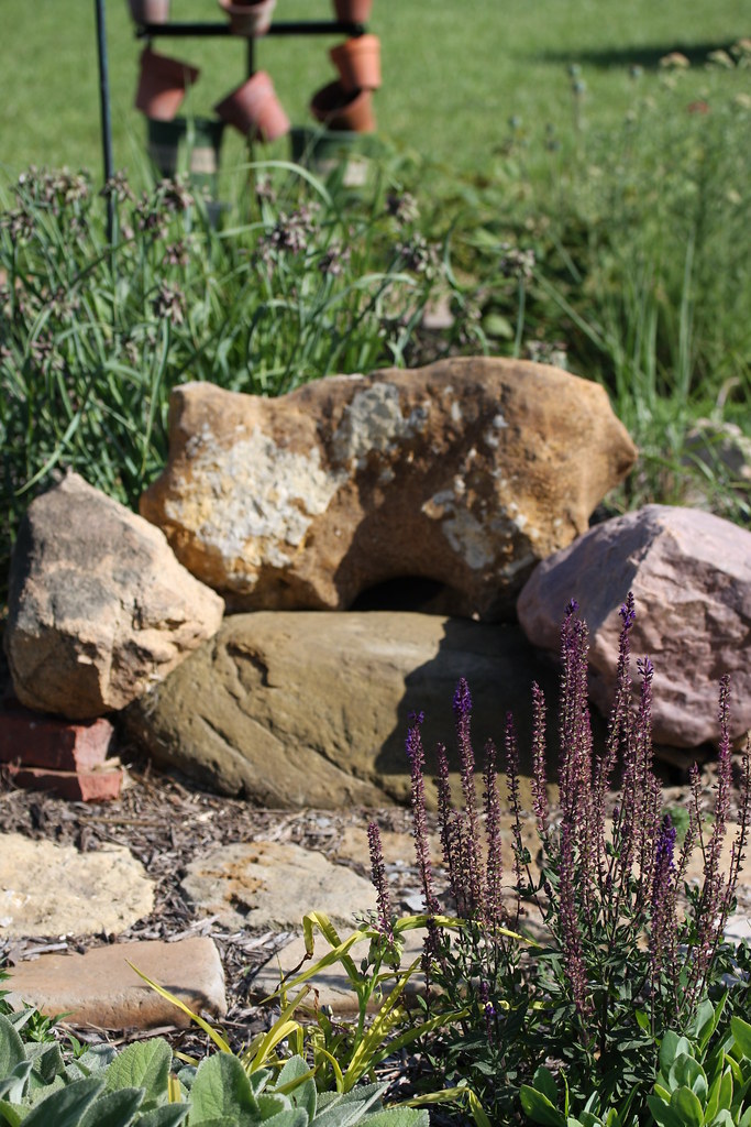
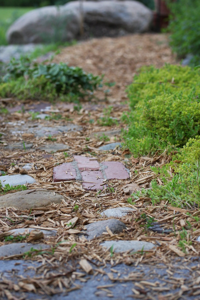
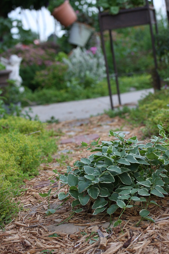
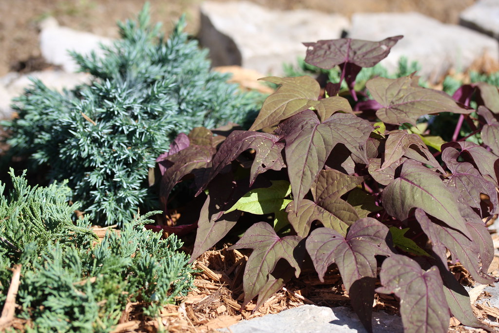
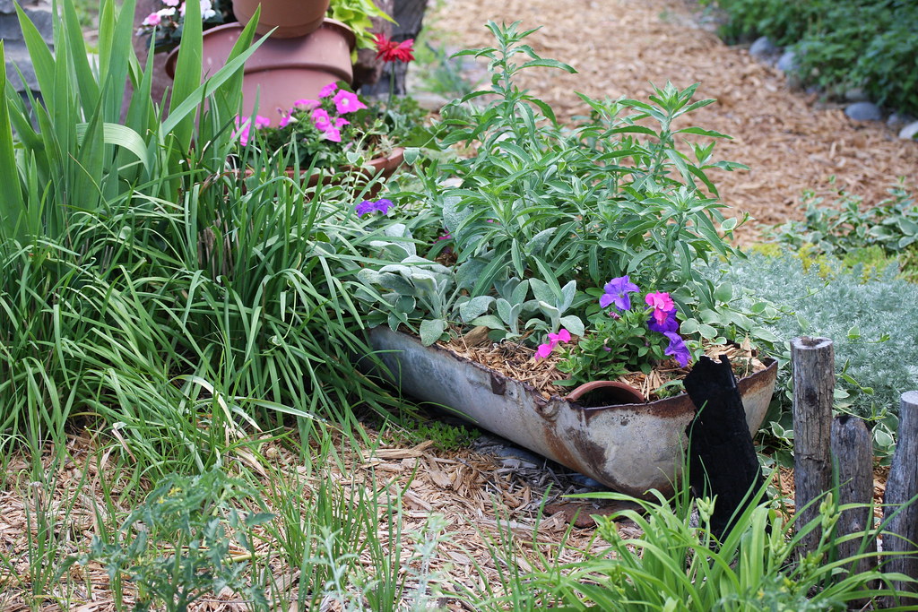
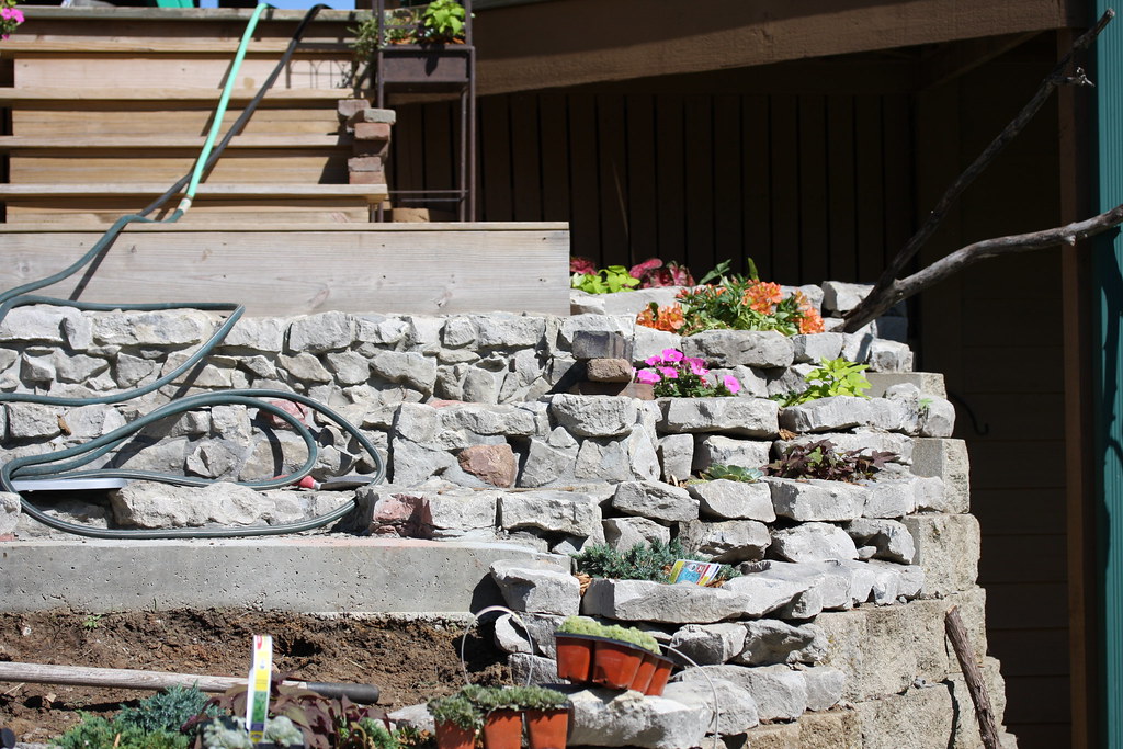
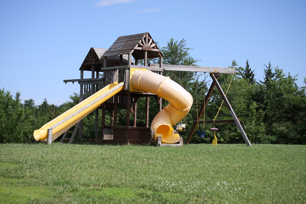
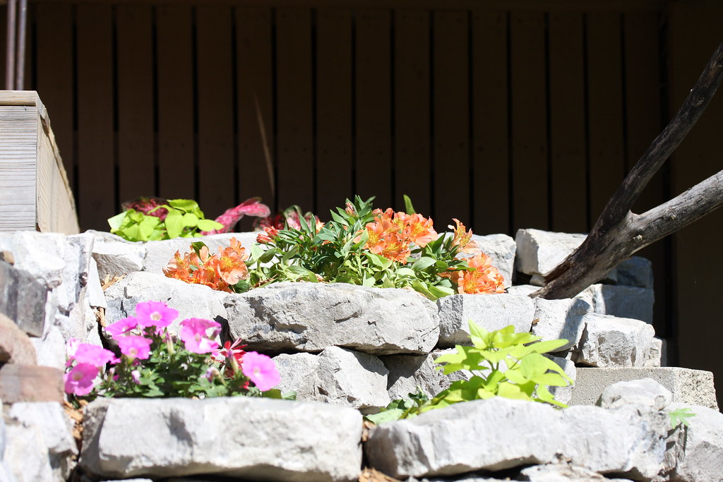
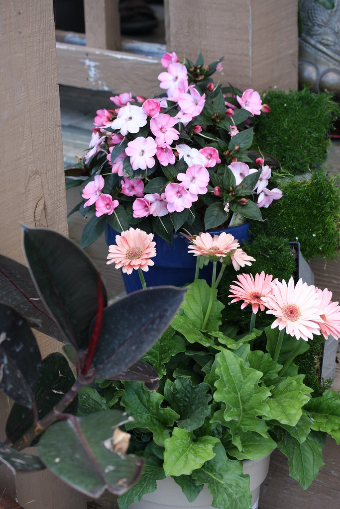
My gardens
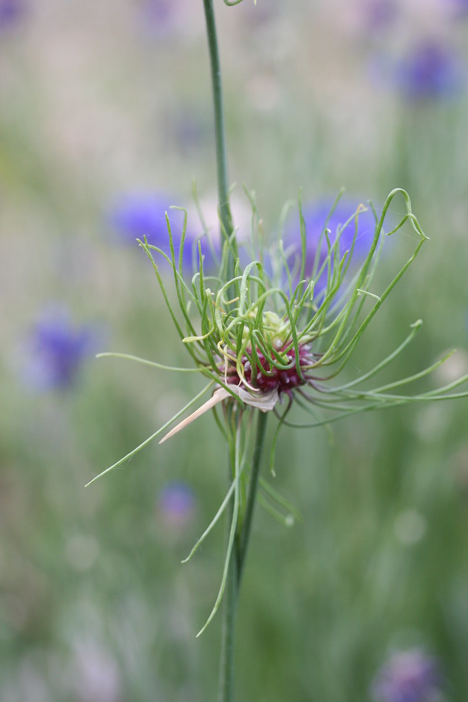
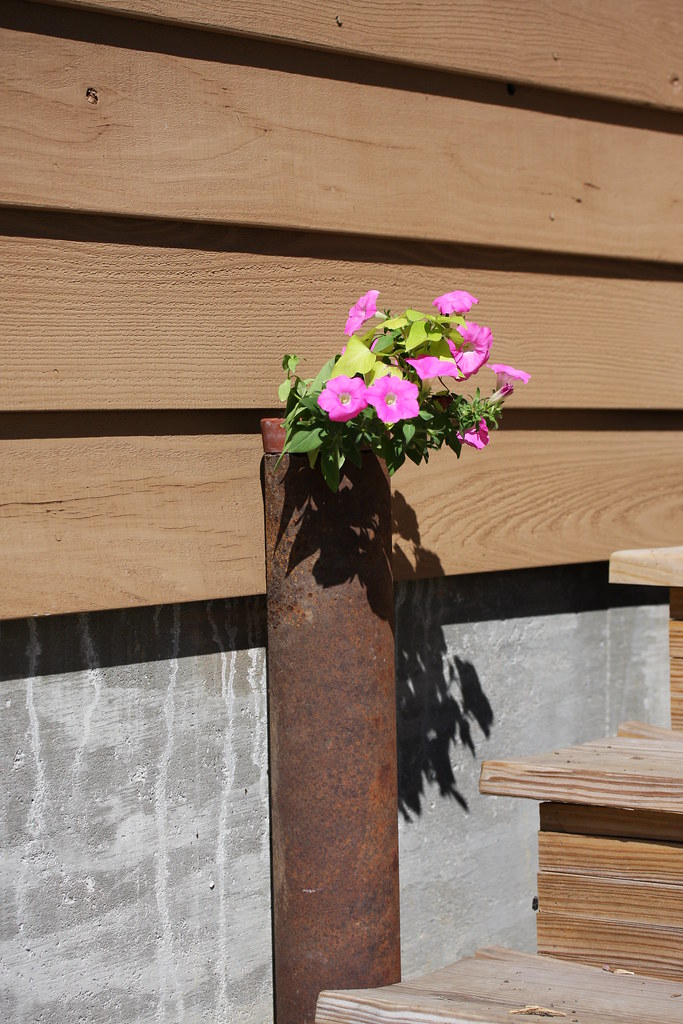
Flowers in my garden...
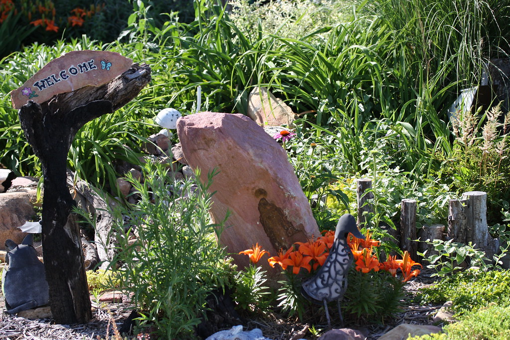
My gardens
My gardens
My gardens
My gardens
My gardens
My gardens
My gardens
My gardens
My gardens
My gardens
My gardens
My gardens
My gardens
My gardens

My gardens

My gardens
My gardens
My gardens
Topographic Map of Washington, KS, USA
Find elevation by address:

Places in Washington, KS, USA:
Places near Washington, KS, USA:
Everest
KS-20, Everest, KS, USA
Brown County
1st Ave E, Horton, KS, USA
Horton
936 Central Ave
245 W 13th St
1249 2nd Ave W
220th Road & Ashpoint Road
Atchison County
Lancaster
S 1st St, Lancaster, KS, USA
Lancaster
Hiawatha
William St, Effingham, KS, USA
Effingham
Wolf River
E 3rd St, Muscotah, KS, USA
808 Cherokee Ave
Irving
Recent Searches:
- Elevation of Dog Leg Dr, Minden, NV, USA
- Elevation of Dog Leg Dr, Minden, NV, USA
- Elevation of Kambingan Sa Pansol Atbp., Purok 7 Pansol, Candaba, Pampanga, Philippines
- Elevation of Pinewood Dr, New Bern, NC, USA
- Elevation of Mountain View, CA, USA
- Elevation of Foligno, Province of Perugia, Italy
- Elevation of Blauwestad, Netherlands
- Elevation of Bella Terra Blvd, Estero, FL, USA
- Elevation of Estates Loop, Priest River, ID, USA
- Elevation of Woodland Oak Pl, Thousand Oaks, CA, USA