Elevation of Hiawatha, KS, USA
Location: United States > Kansas > Brown County >
Longitude: -95.535815
Latitude: 39.8525033
Elevation: 347m / 1138feet
Barometric Pressure: 97KPa
Elevation Map:
Satellite Map:
Related Photos:

Everard Bierer
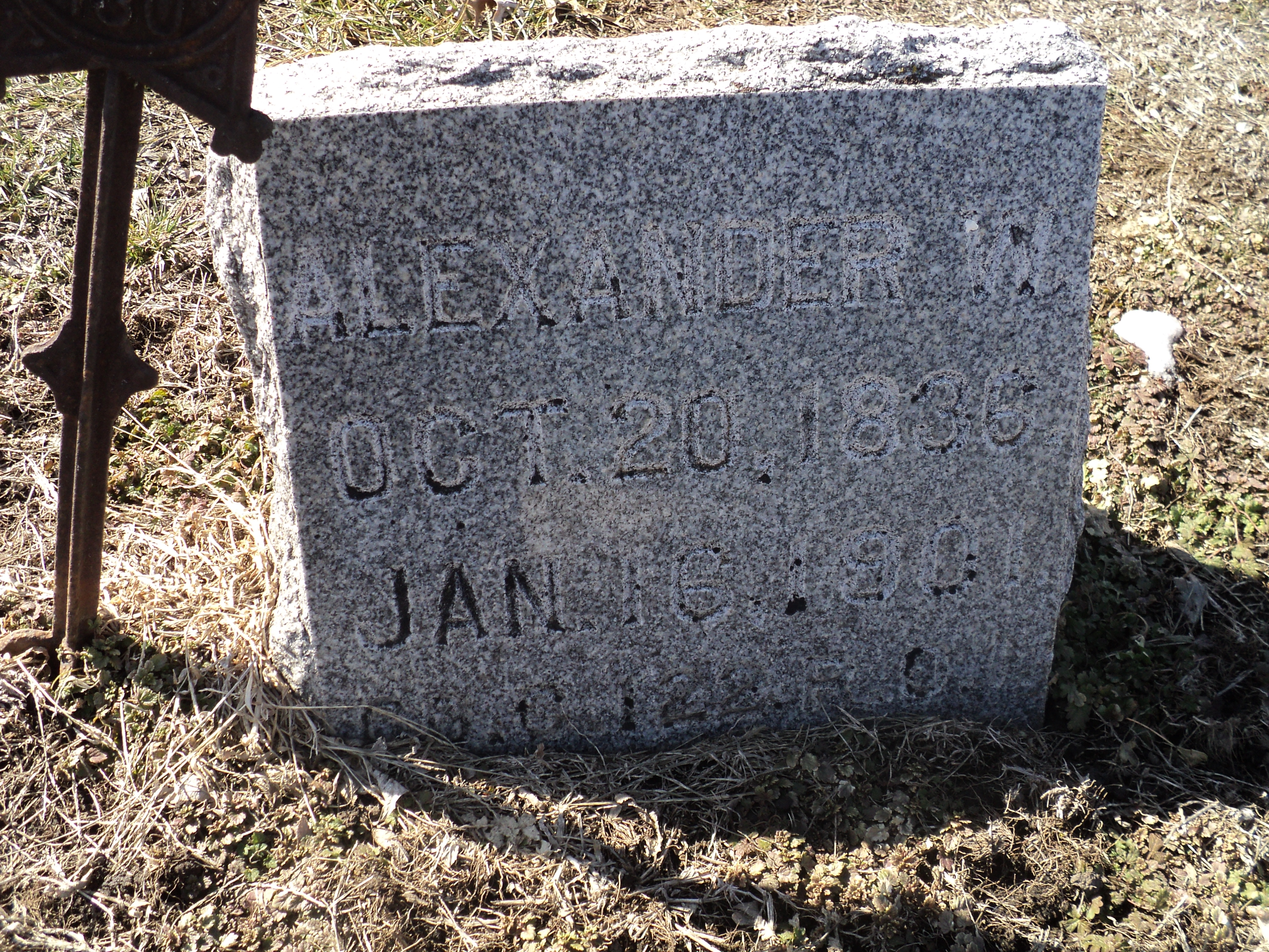
Alexander W. Bell

Alexander W. Bell (1)

Mount Hope Cemetery, Reversed

Cold pretty sunset in Kansas at my folks on Christmas Eve

Hiawatha Municipal Airport

Hiawatha Municipal Airport

Kansas sky

RCWest 1285
Topographic Map of Hiawatha, KS, USA
Find elevation by address:

Places near Hiawatha, KS, USA:
808 Cherokee Ave
Brown County
Irving
Washington
1249 2nd Ave W
245 W 13th St
936 Central Ave
Thrasher Road & 300th Street
Thrasher Road & 300th Street
1st Ave E, Horton, KS, USA
Horton
Everest
Rulo
KS-20, Everest, KS, USA
1015 Harlan St
220th Road & Ashpoint Road
E 16th St, Falls City, NE, USA
Falls City
Rulo
White Cloud
Recent Searches:
- Elevation of Congressional Dr, Stevensville, MD, USA
- Elevation of Bellview Rd, McLean, VA, USA
- Elevation of Stage Island Rd, Chatham, MA, USA
- Elevation of Shibuya Scramble Crossing, 21 Udagawacho, Shibuya City, Tokyo -, Japan
- Elevation of Jadagoniai, Kaunas District Municipality, Lithuania
- Elevation of Pagonija rock, Kranto 7-oji g. 8"N, Kaunas, Lithuania
- Elevation of Co Rd 87, Jamestown, CO, USA
- Elevation of Tenjo, Cundinamarca, Colombia
- Elevation of Côte-des-Neiges, Montreal, QC H4A 3J6, Canada
- Elevation of Bobcat Dr, Helena, MT, USA