Elevation of Warwick Rd, Harrodsburg, KY, USA
Location: United States > Kentucky > Mercer County > Harrodsburg >
Longitude: -84.833291
Latitude: 37.7949475
Elevation: 275m / 902feet
Barometric Pressure: 98KPa
Elevation Map:
Satellite Map:
Related Photos:

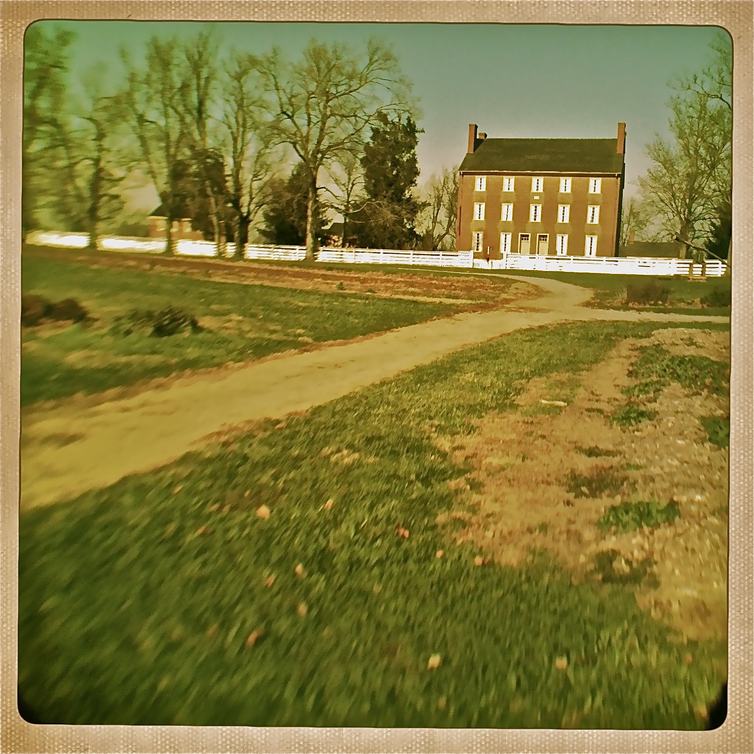
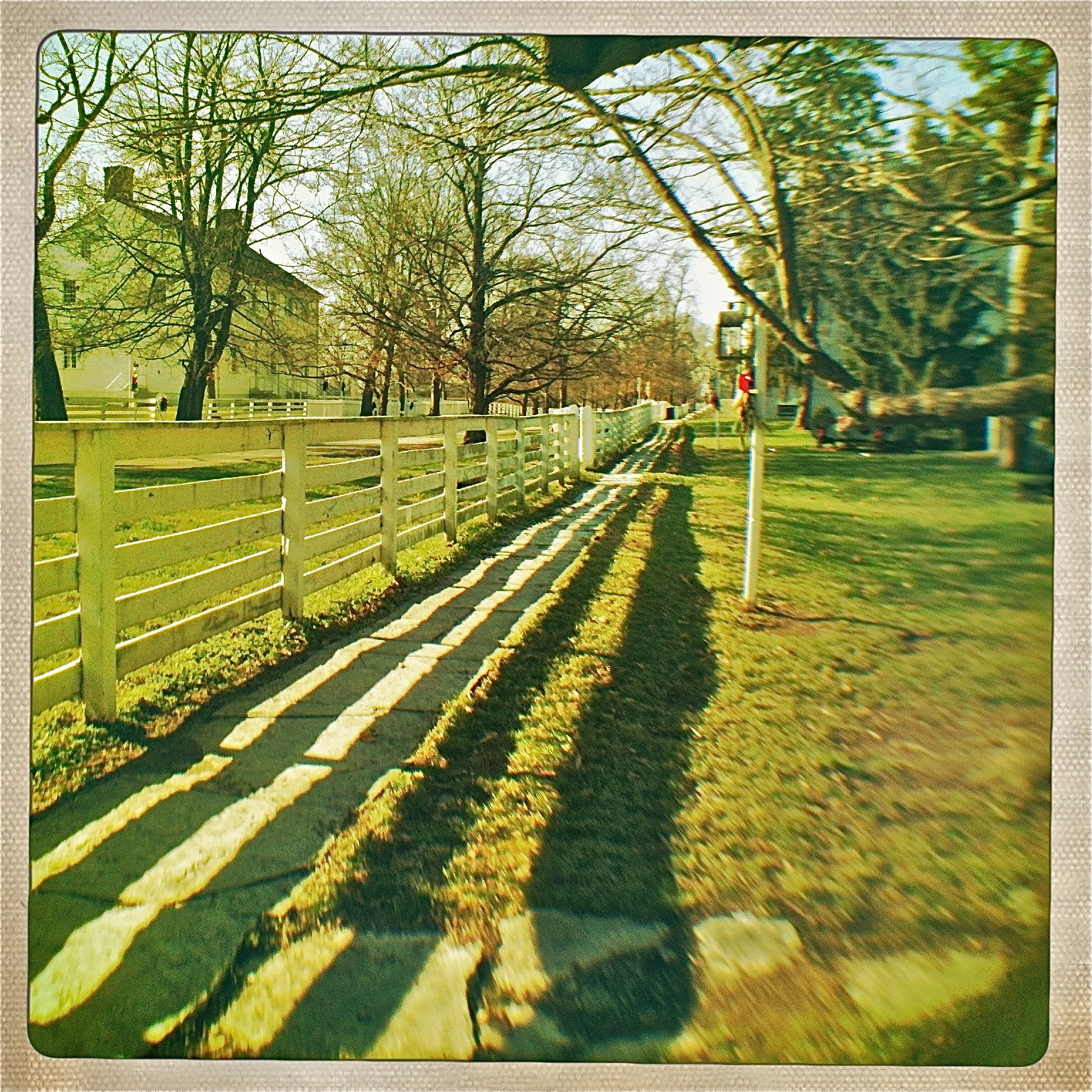
View of East Family Brethren's Shop & East Family Dwelling
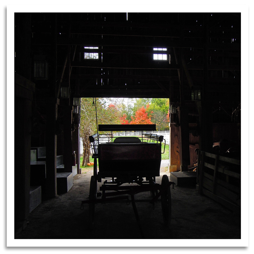
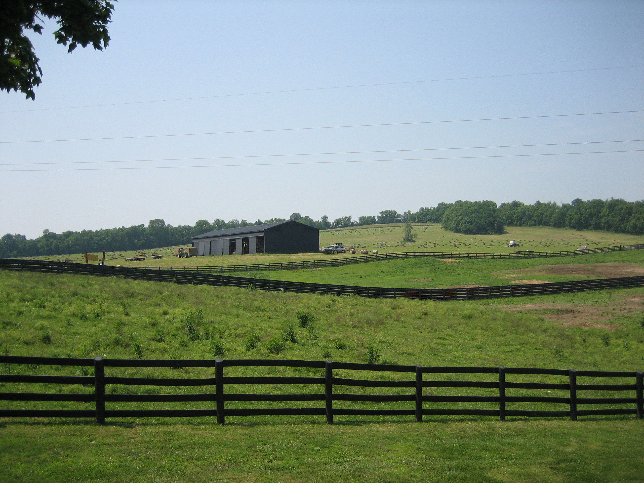
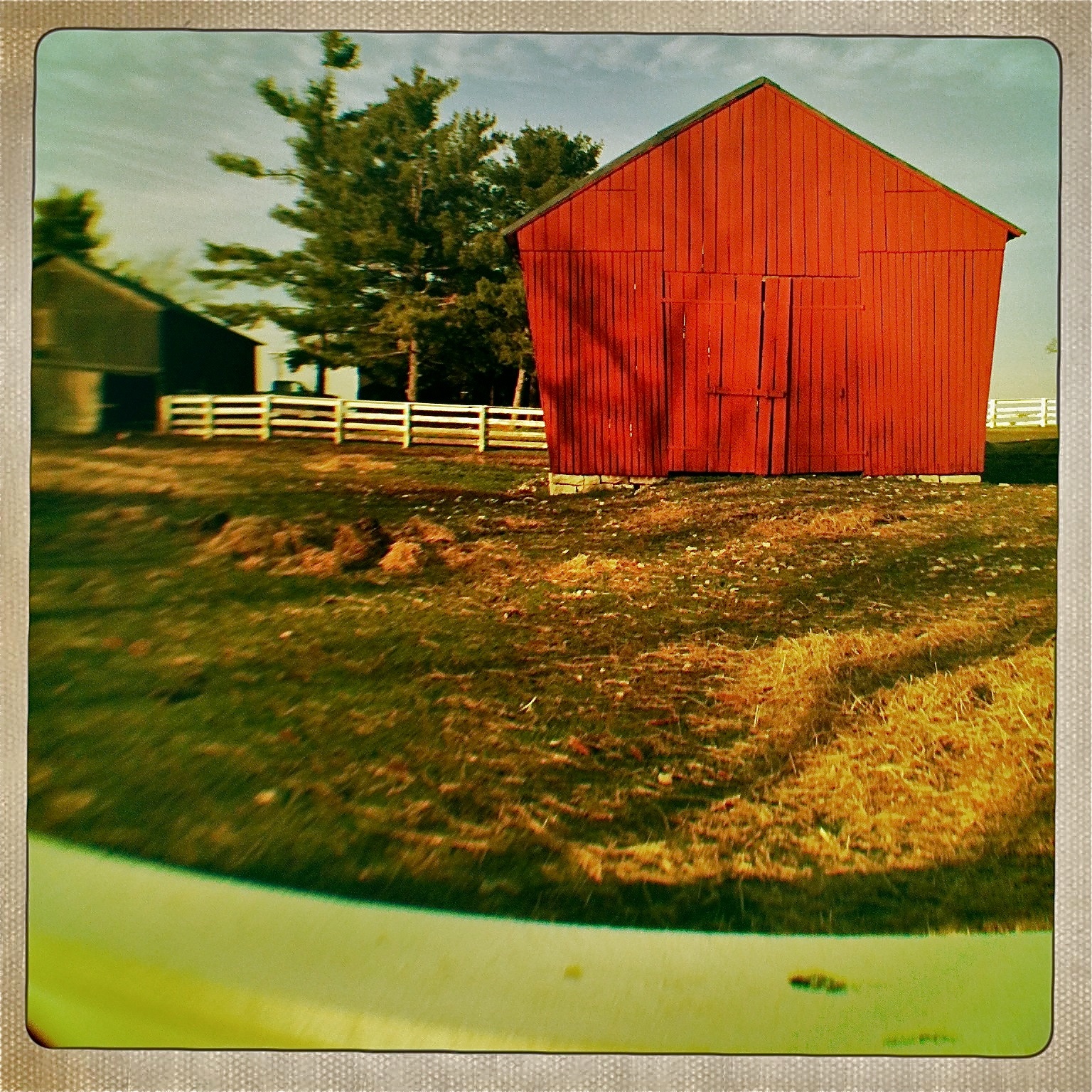
Shaker Barn
View of East Family Dwelling from the Barn
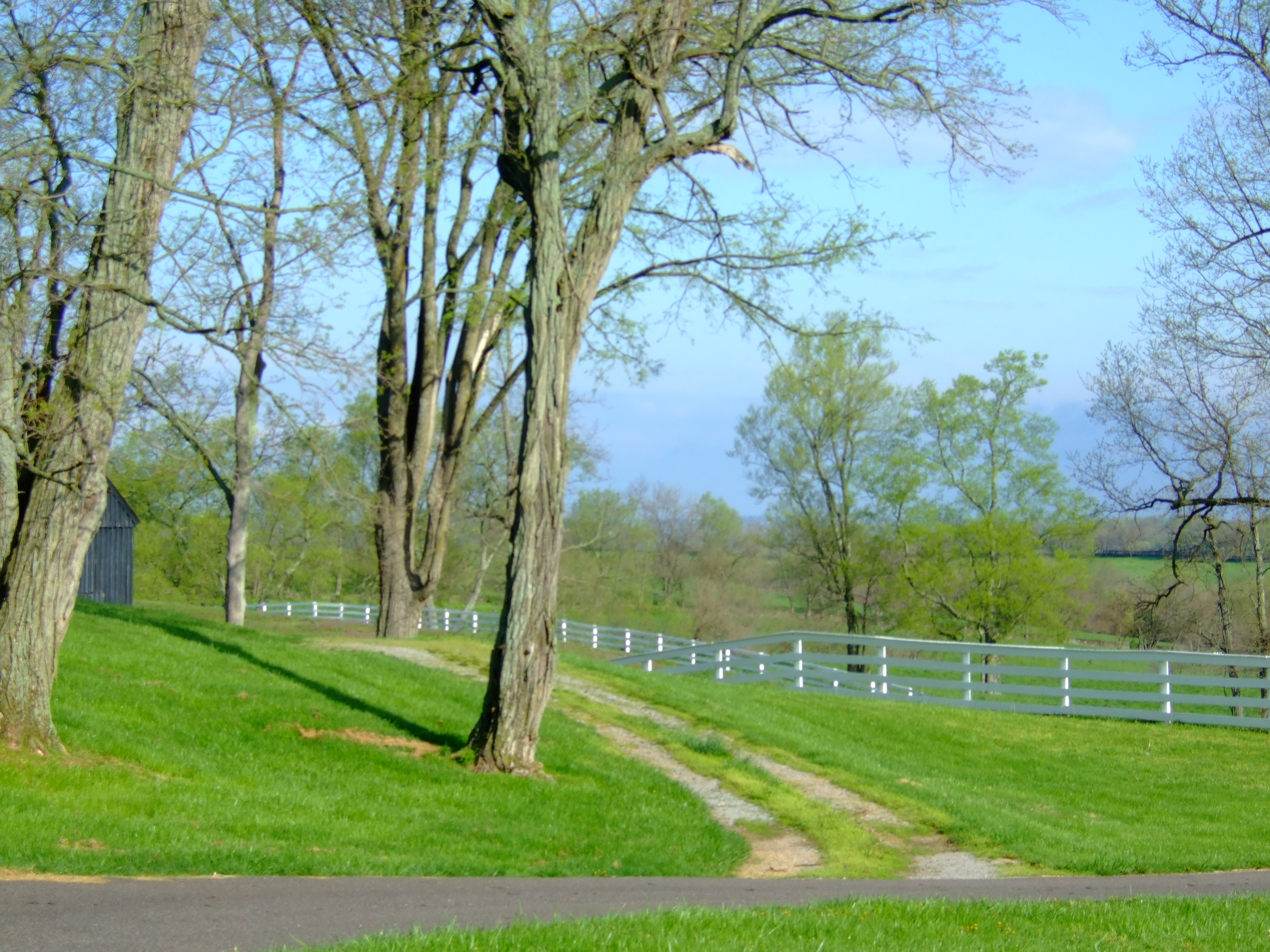
Shaker Village view
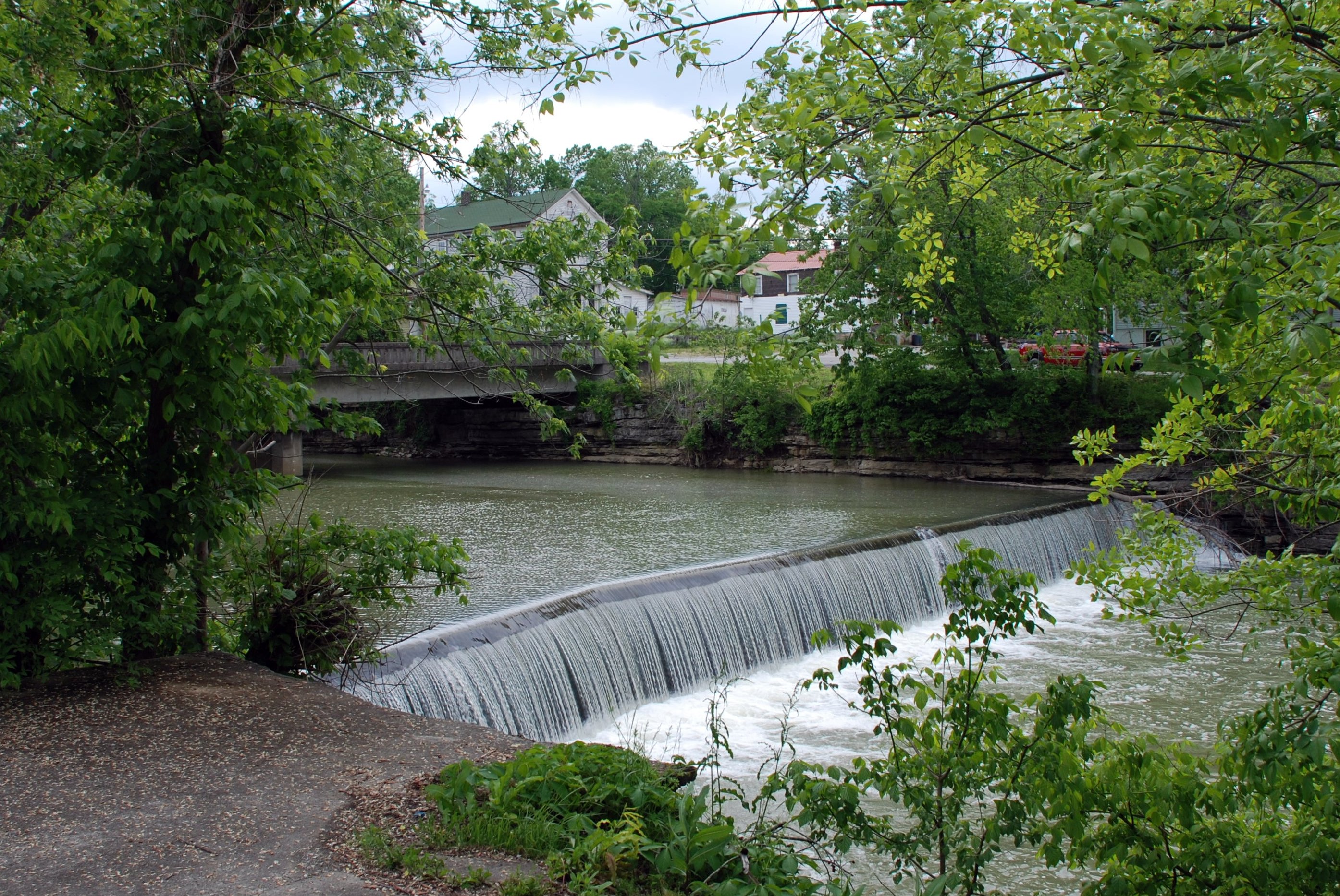
Mill Dam

View from the fourth floor... #EastFamilyDwelling #Bike Trek to Shakertown

Morning Mist

Cold Mornings
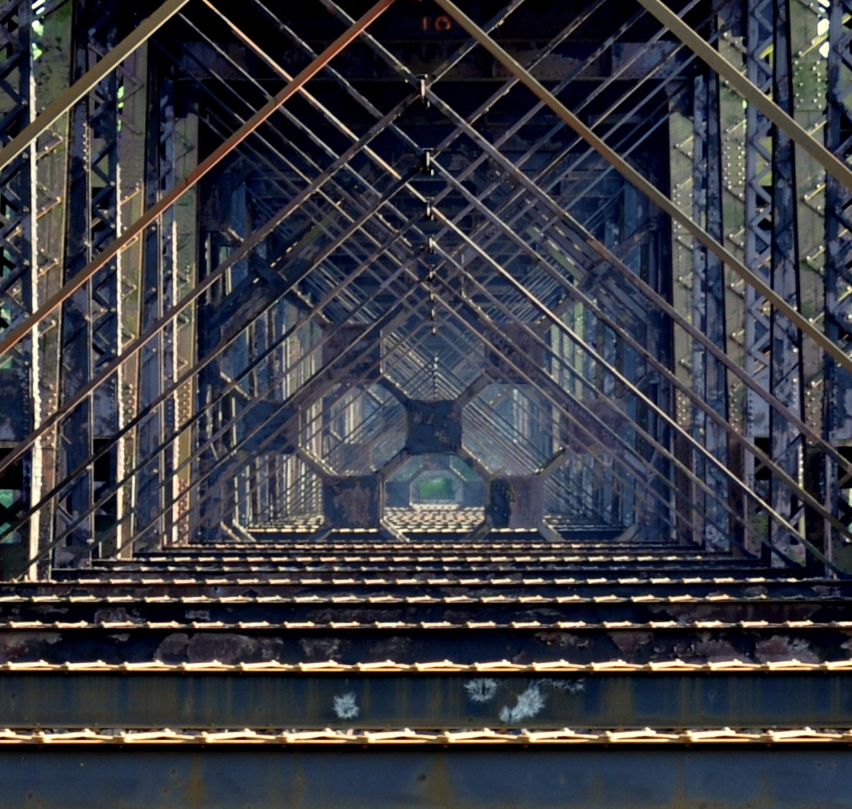
high bridge
View from inside a building at Fort Harrod
Shaker Village - Pleasant Hill, Kentucky

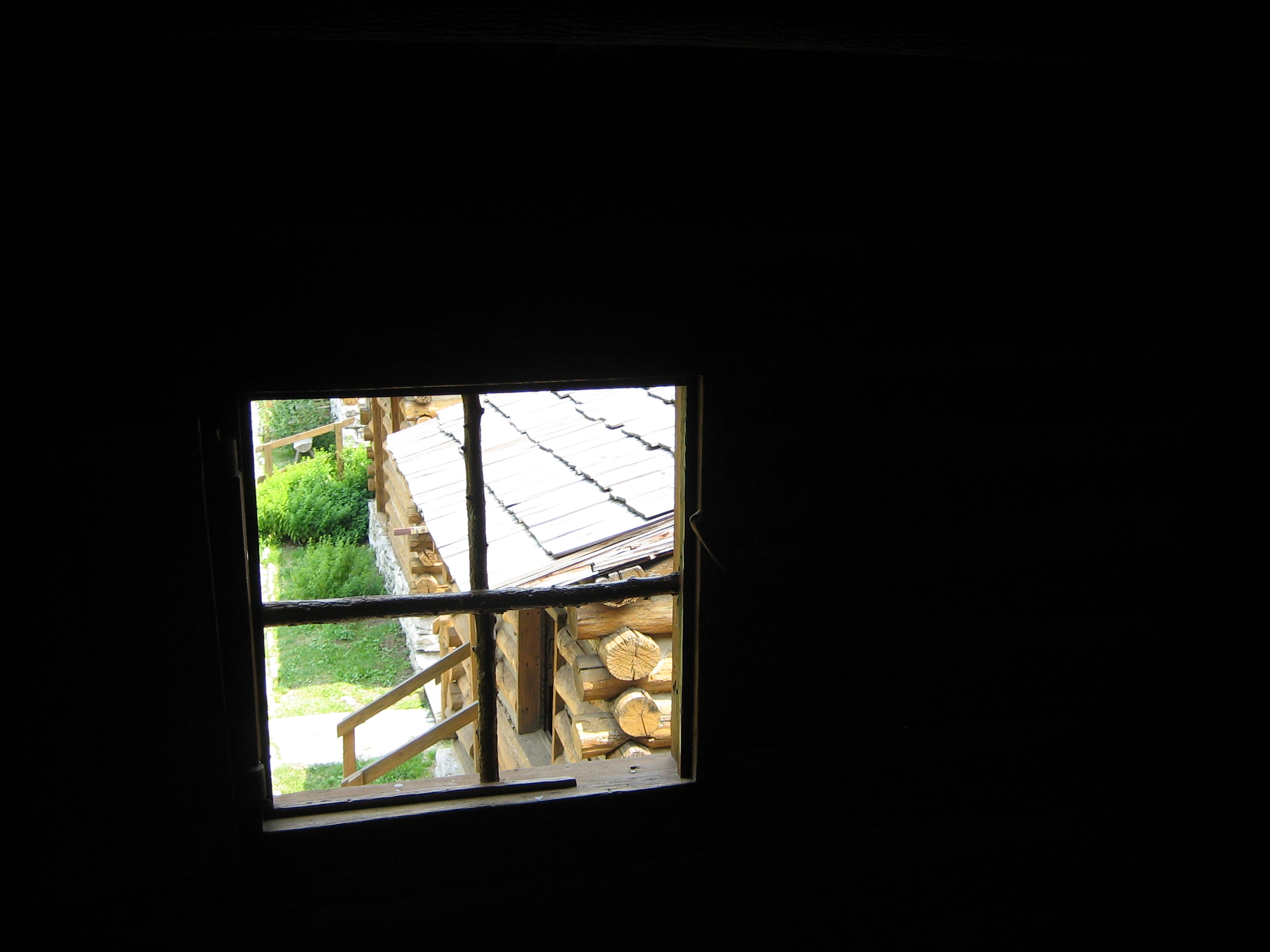
Window View
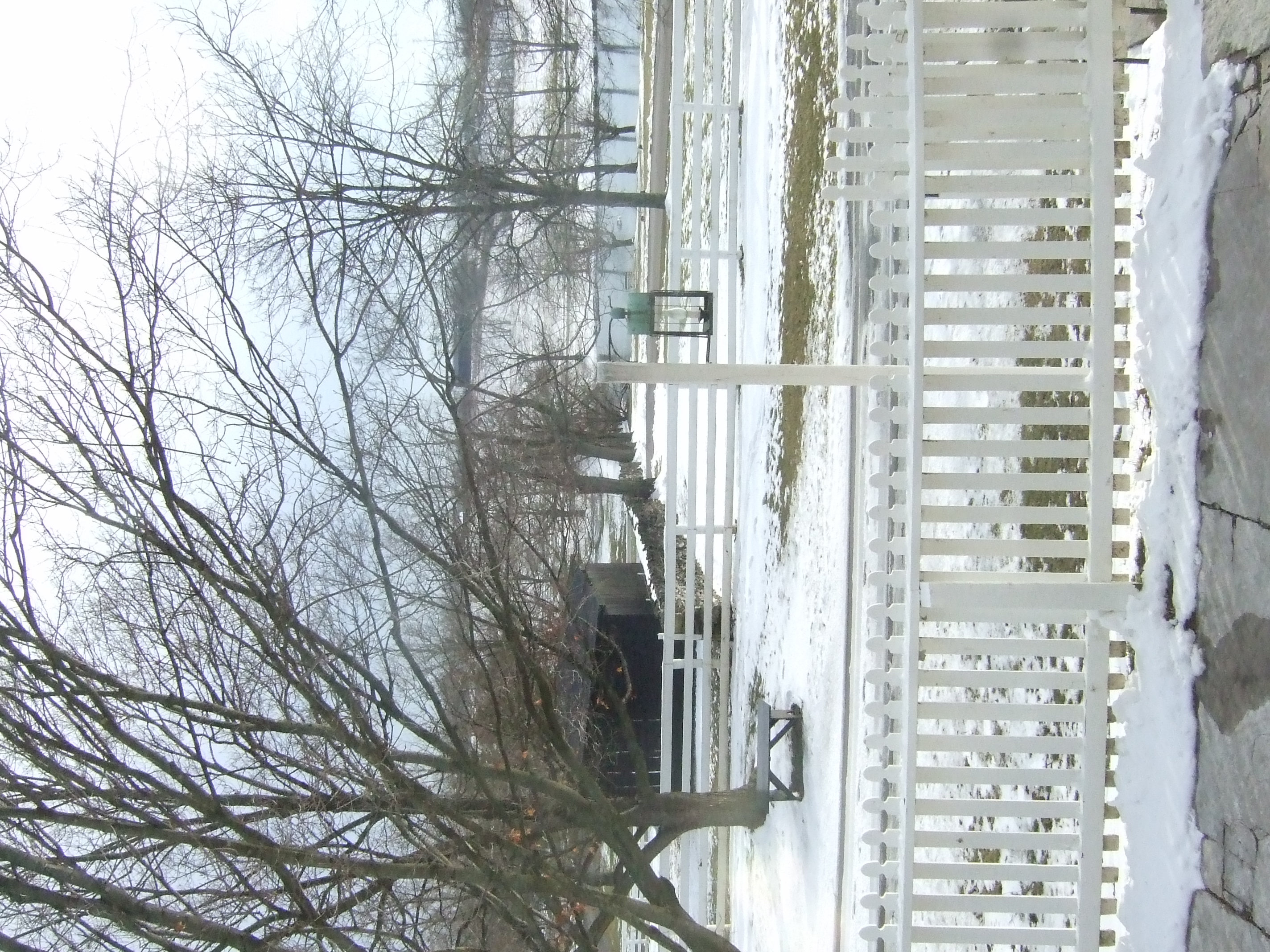
View from the East Family Dwelling

View of the East Family Dwelling

In Her Eyes

Sunrise Farm

Panoramic Views

View From Shaker Graveyard

Horse Migration
View out our wavy window
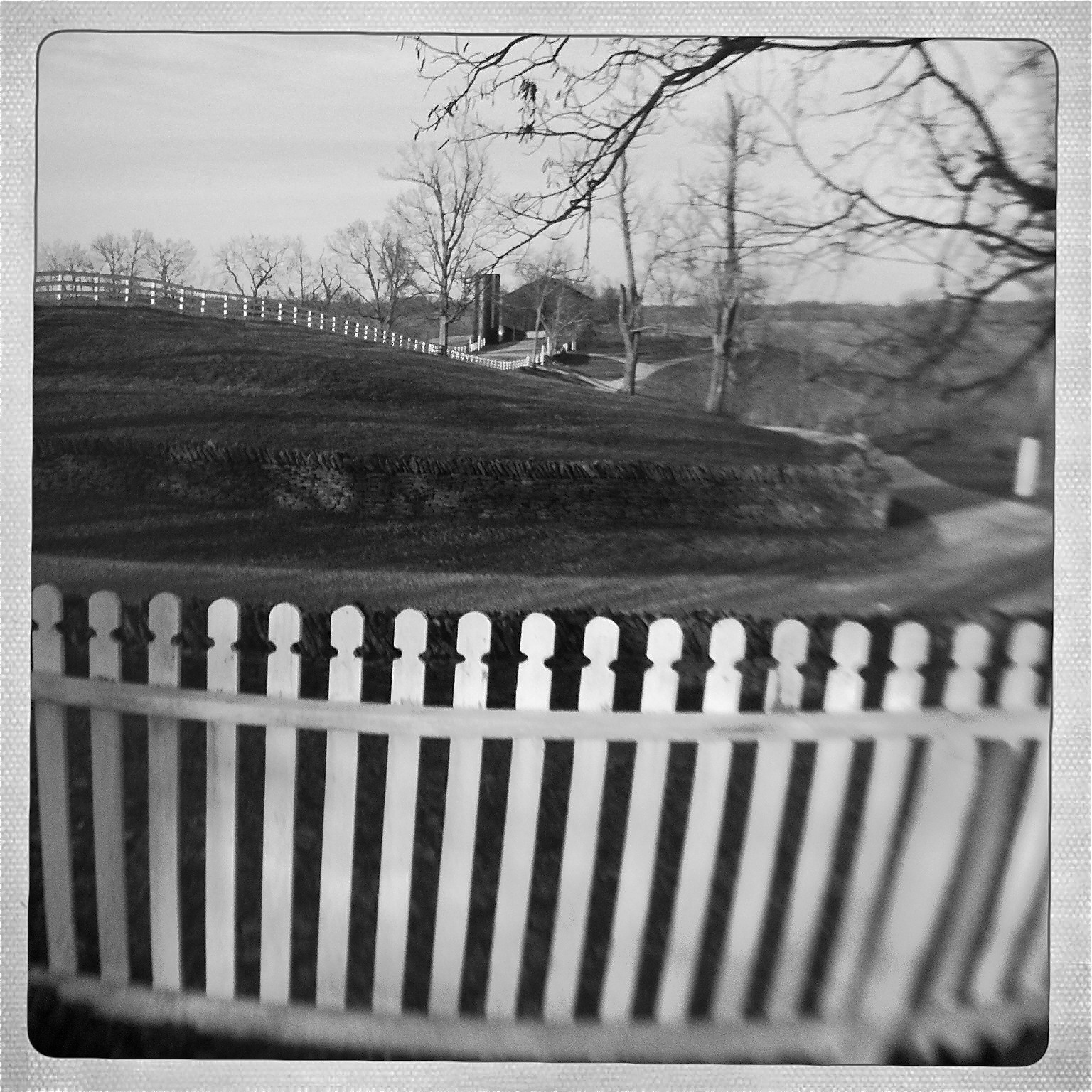
View from Shaker Graveyard
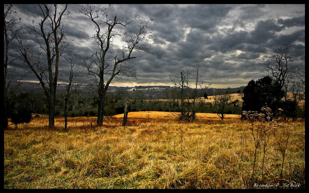
kentucky field
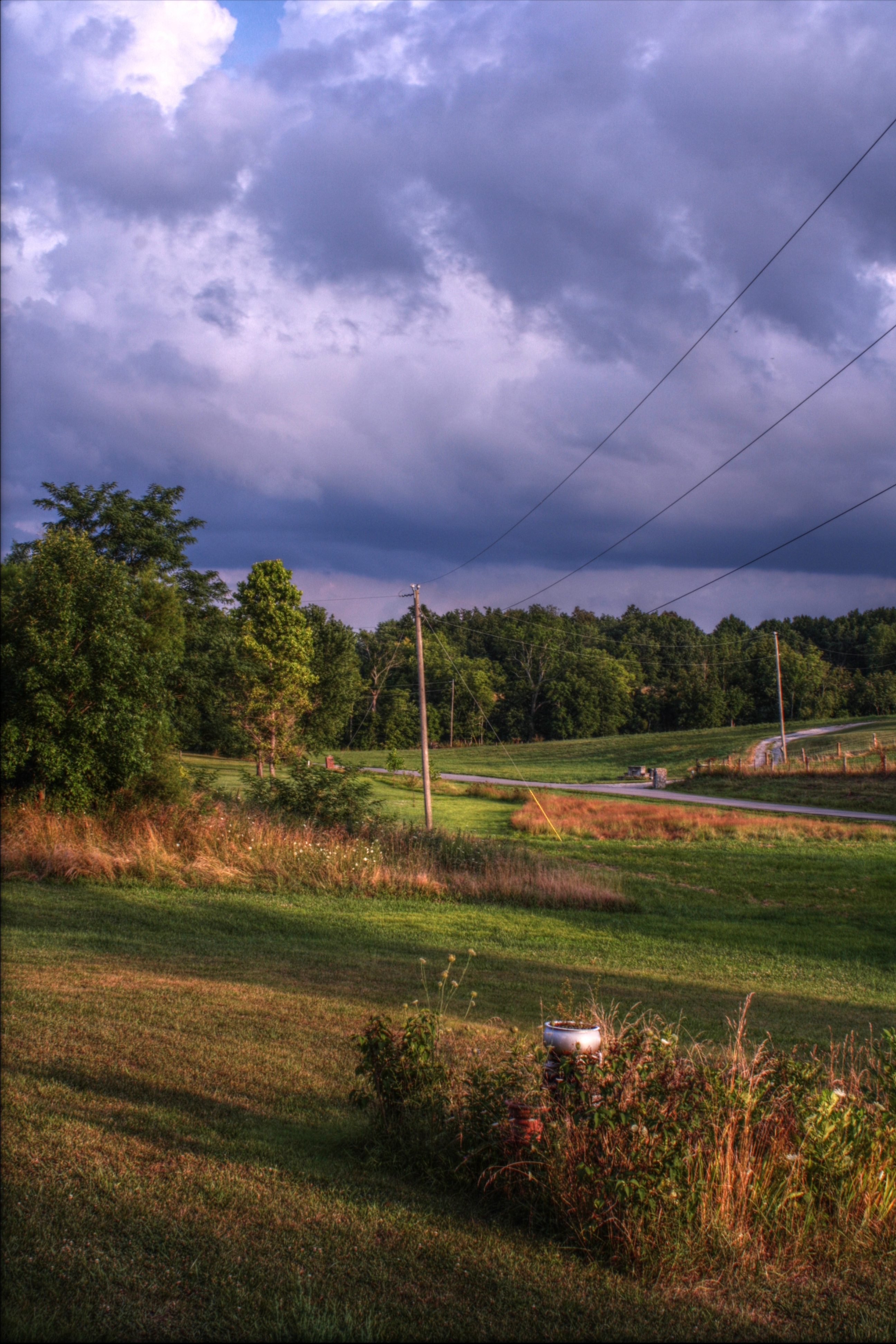
07.12.10-pm07.56
Black Shed
Bondville Reverse
kentuky hills
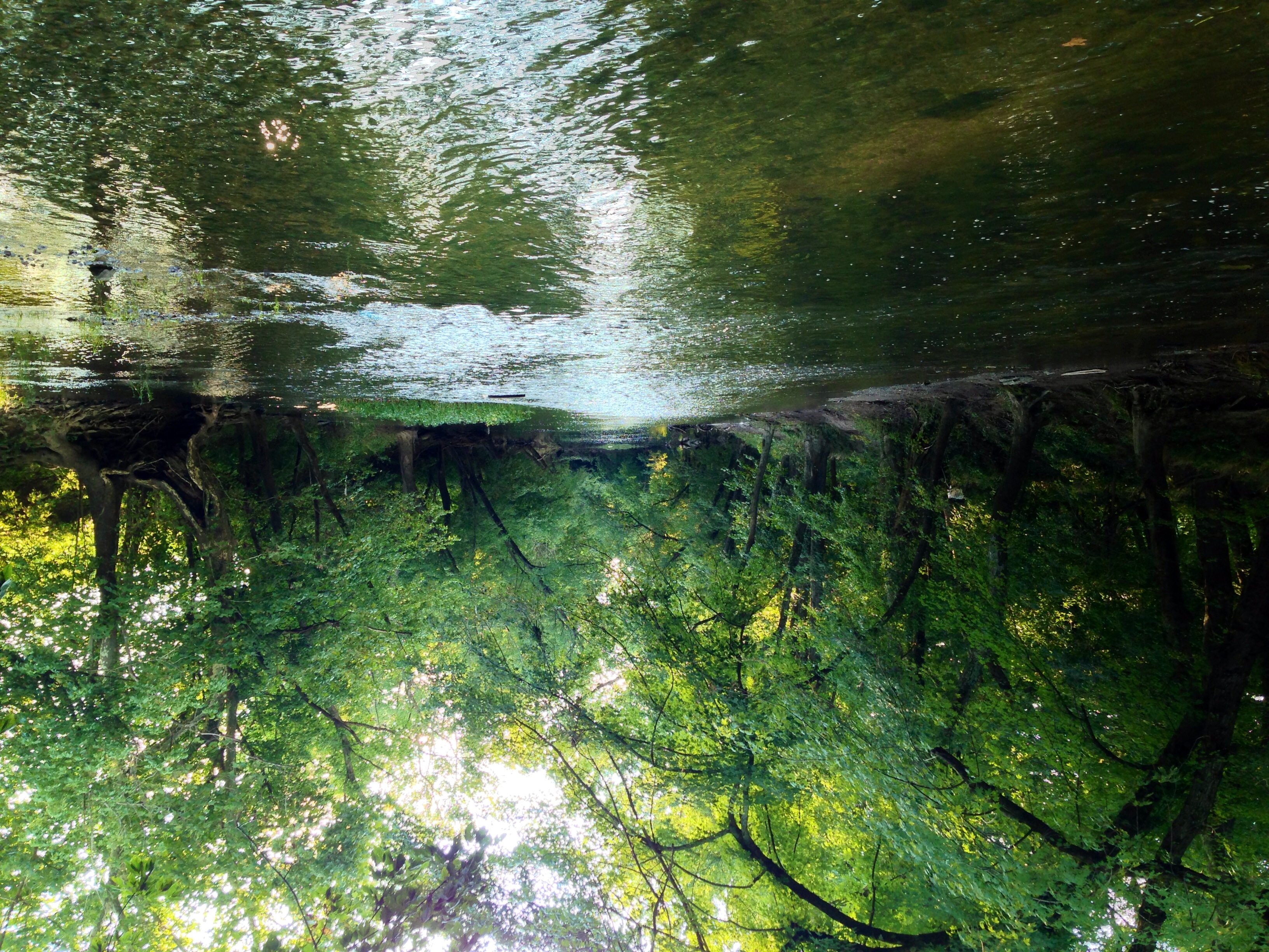
Salt River
Corn Crib
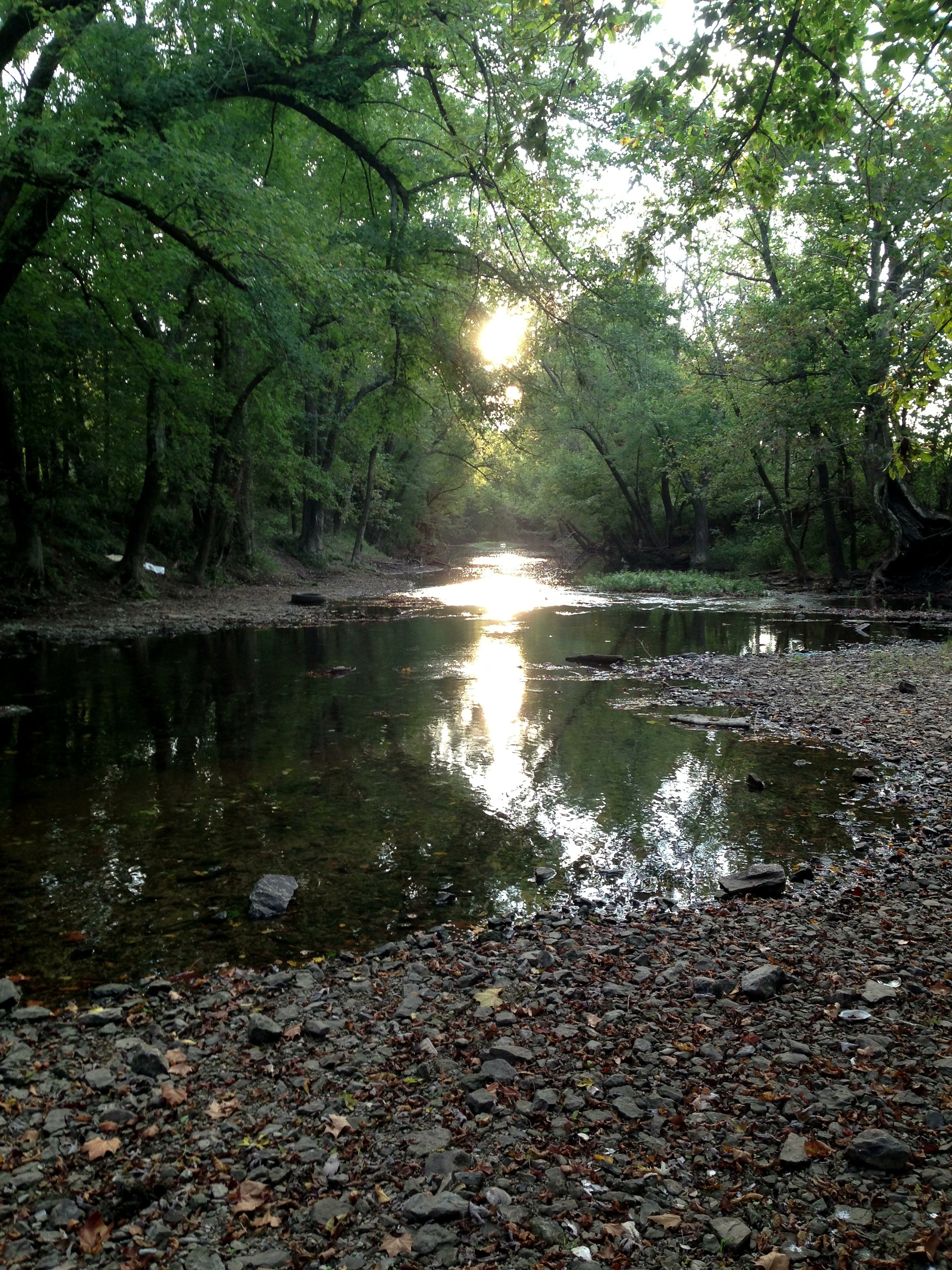
Salt River
Salt River
Salt River
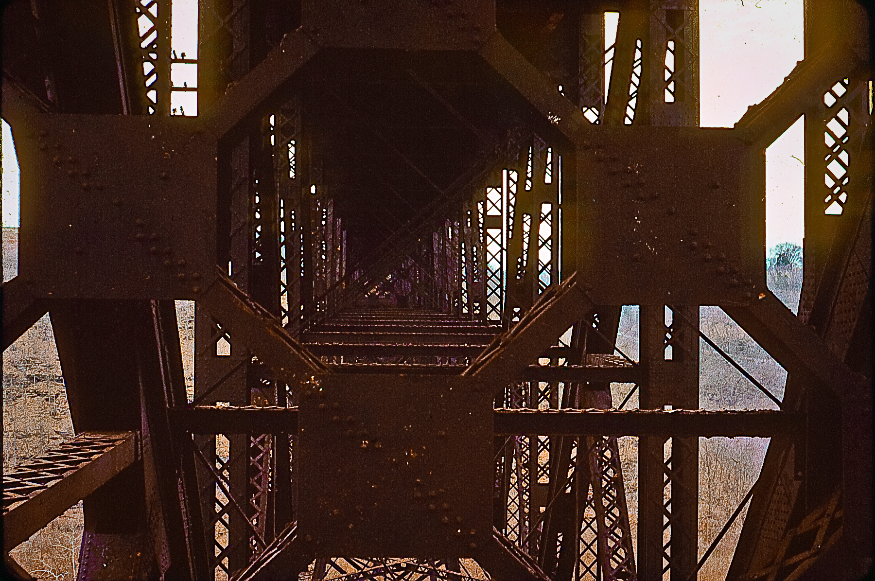
High Bridge
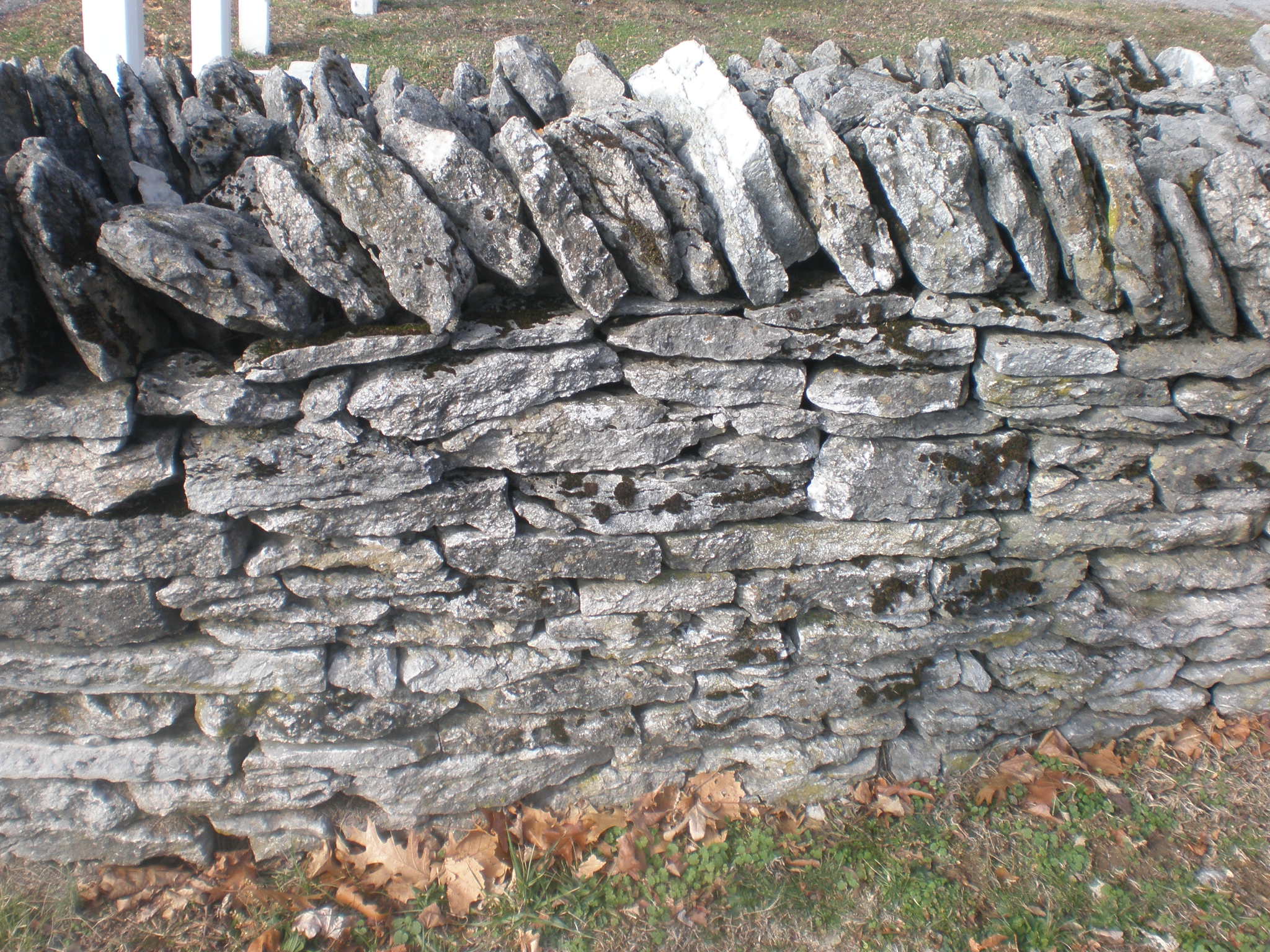
Section of stone wall, Shakertown at Pleasant Hill, Mercer County, Kentucky
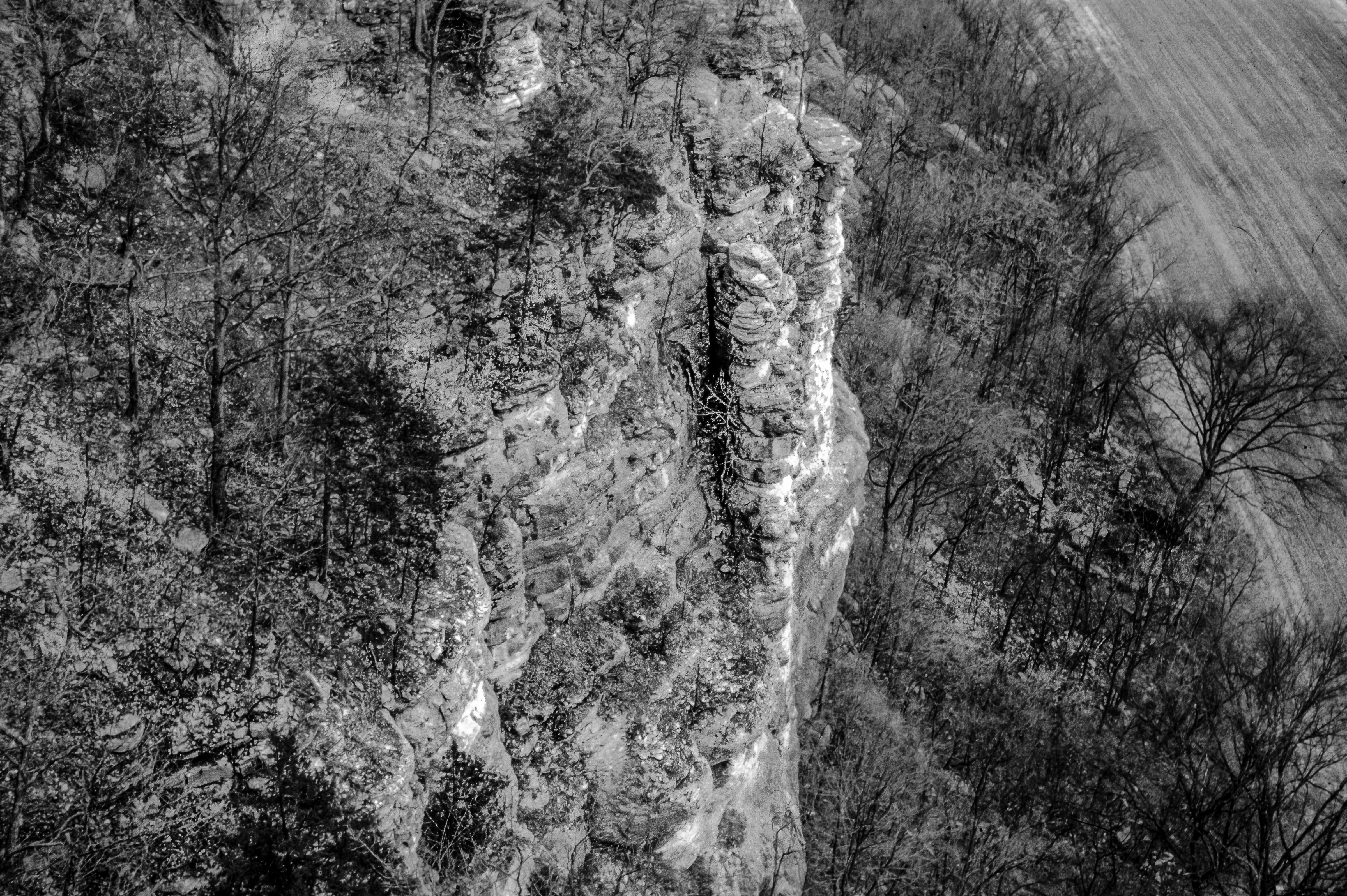
Palisades of the Kentucky River
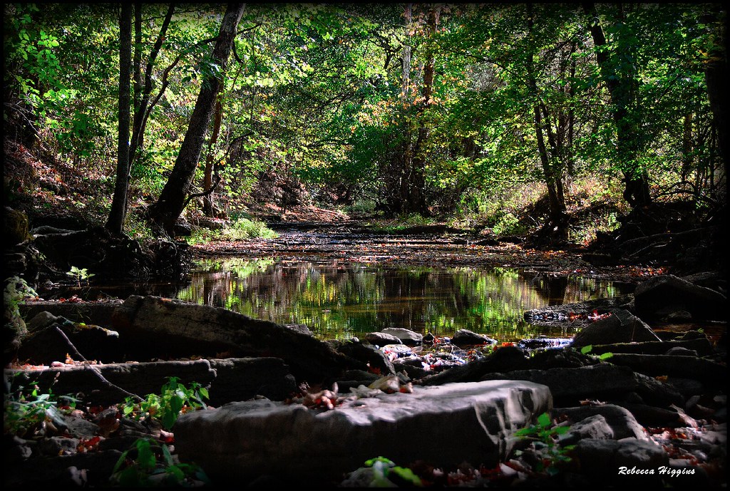
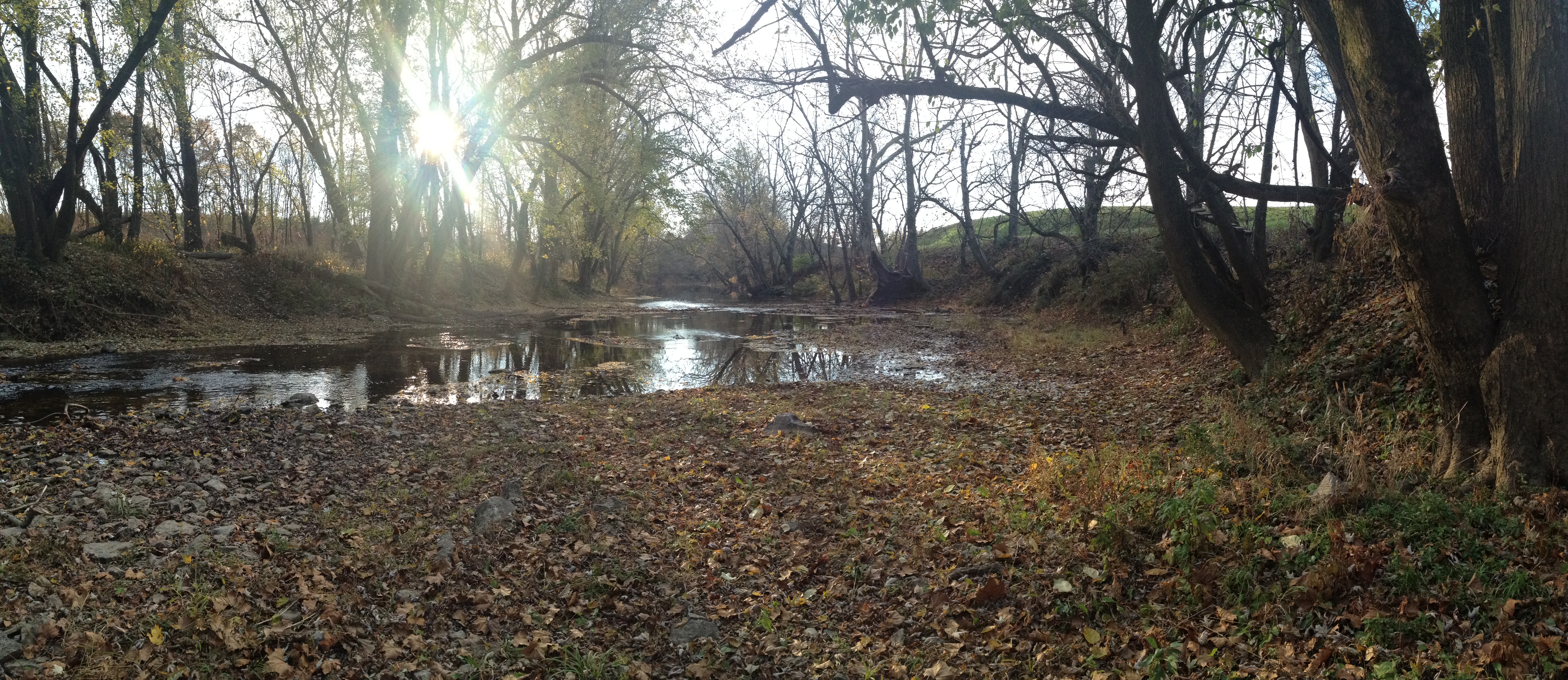
Shawnee Run Creek Bed
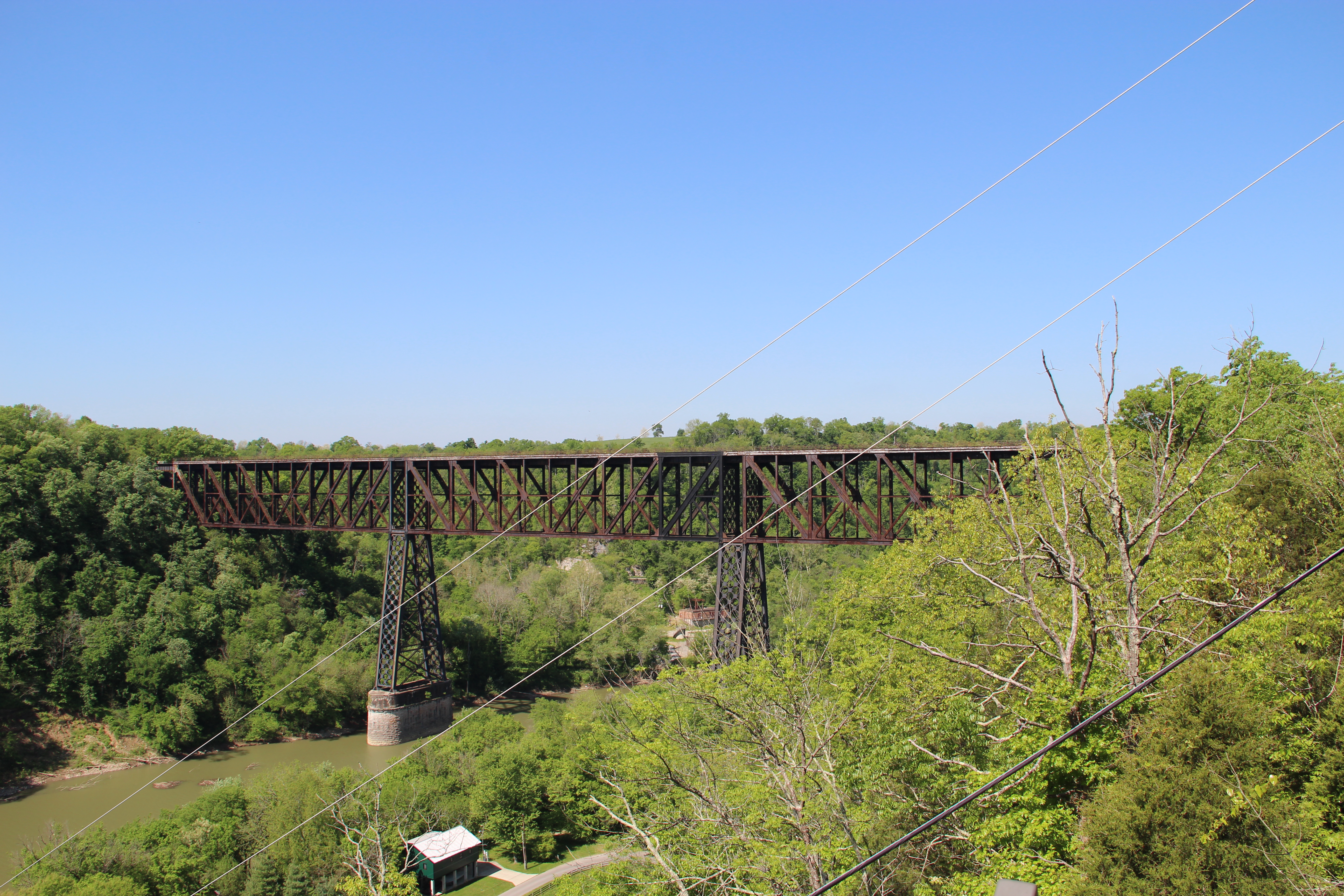
High Bridge
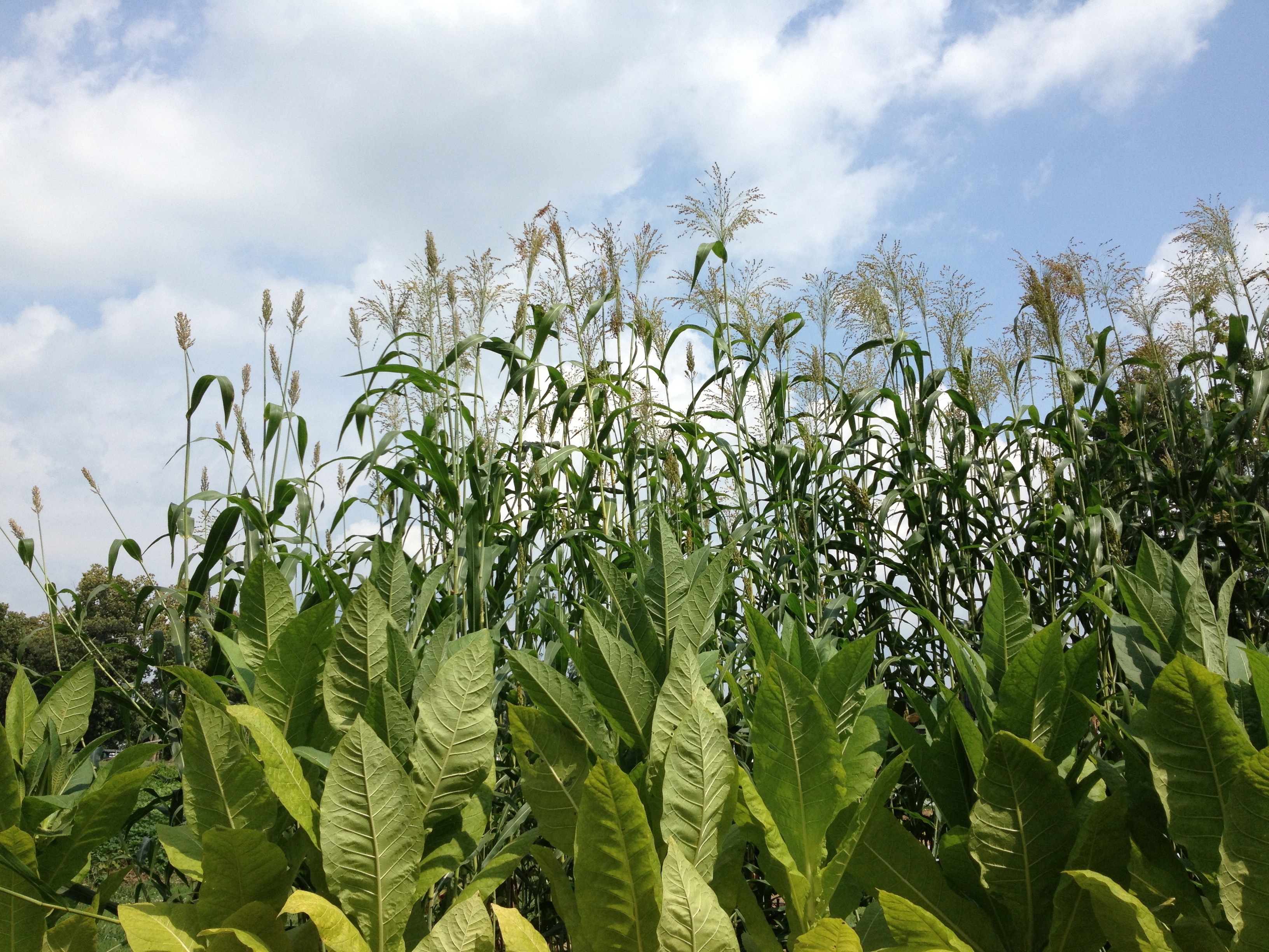
Broom corn
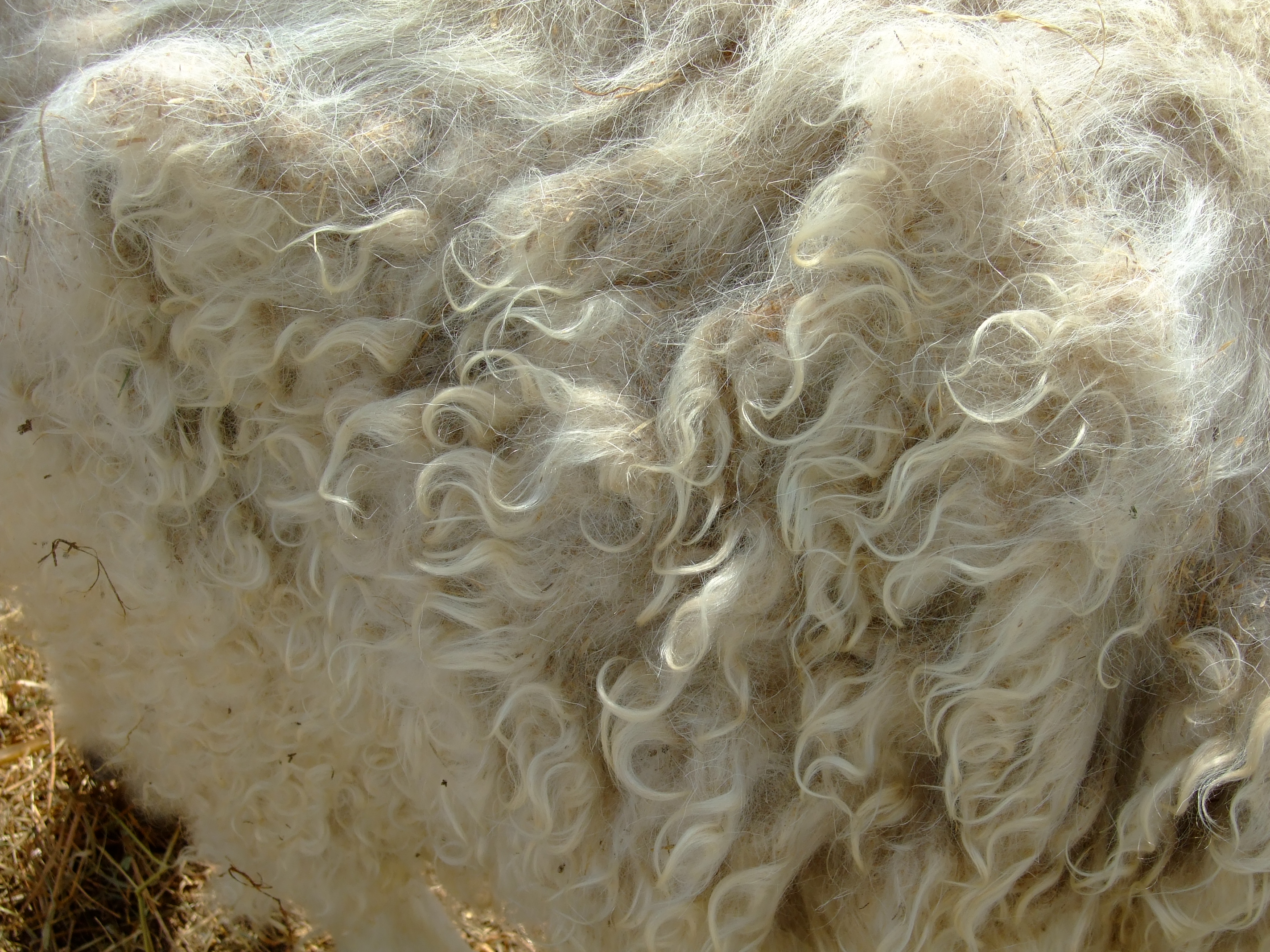
Angora fur
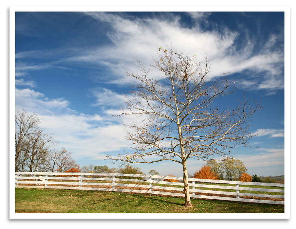
Bare Tree
Sunrise over the KY River 3
Topographic Map of Warwick Rd, Harrodsburg, KY, USA
Find elevation by address:

Places near Warwick Rd, Harrodsburg, KY, USA:
Louisville Rd, Salvisa, KY, USA
Harrodsburg, KY, USA
Mercer County
695 Calvary Rd
Shakertown Rd, Harrodsburg, KY, USA
Shakertown
1662 Talmage Mayo Rd
785 Garriott Ln
Oregon Road
Oregon Rd, Versailles, KY, USA
Salvisa
355 Freeman Ln
Fords Mill Rd, Versailles, KY, USA
6100-6186,6001-6109
2726 Cummins Ferry Rd
130 Ole Mill Rd
2960 Hifner Rd
3367 Talmage Mayo Rd
Ballard Rd, Lawrenceburg, KY, USA
2771 Baker Ridge Rd
Recent Searches:
- Elevation of 15th Ave SE, St. Petersburg, FL, USA
- Elevation of Beall Road, Beall Rd, Florida, USA
- Elevation of Leguwa, Nepal
- Elevation of County Rd, Enterprise, AL, USA
- Elevation of Kolchuginsky District, Vladimir Oblast, Russia
- Elevation of Shustino, Vladimir Oblast, Russia
- Elevation of Lampiasi St, Sarasota, FL, USA
- Elevation of Elwyn Dr, Roanoke Rapids, NC, USA
- Elevation of Congressional Dr, Stevensville, MD, USA
- Elevation of Bellview Rd, McLean, VA, USA