Elevation of Shakertown Rd, Harrodsburg, KY, USA
Location: United States > Kentucky > Mercer County > Harrodsburg >
Longitude: -84.740823
Latitude: 37.8132735
Elevation: 290m / 951feet
Barometric Pressure: 98KPa
Elevation Map:
Satellite Map:
Related Photos:

View from the fourth floor... #EastFamilyDwelling #Bike Trek to Shakertown
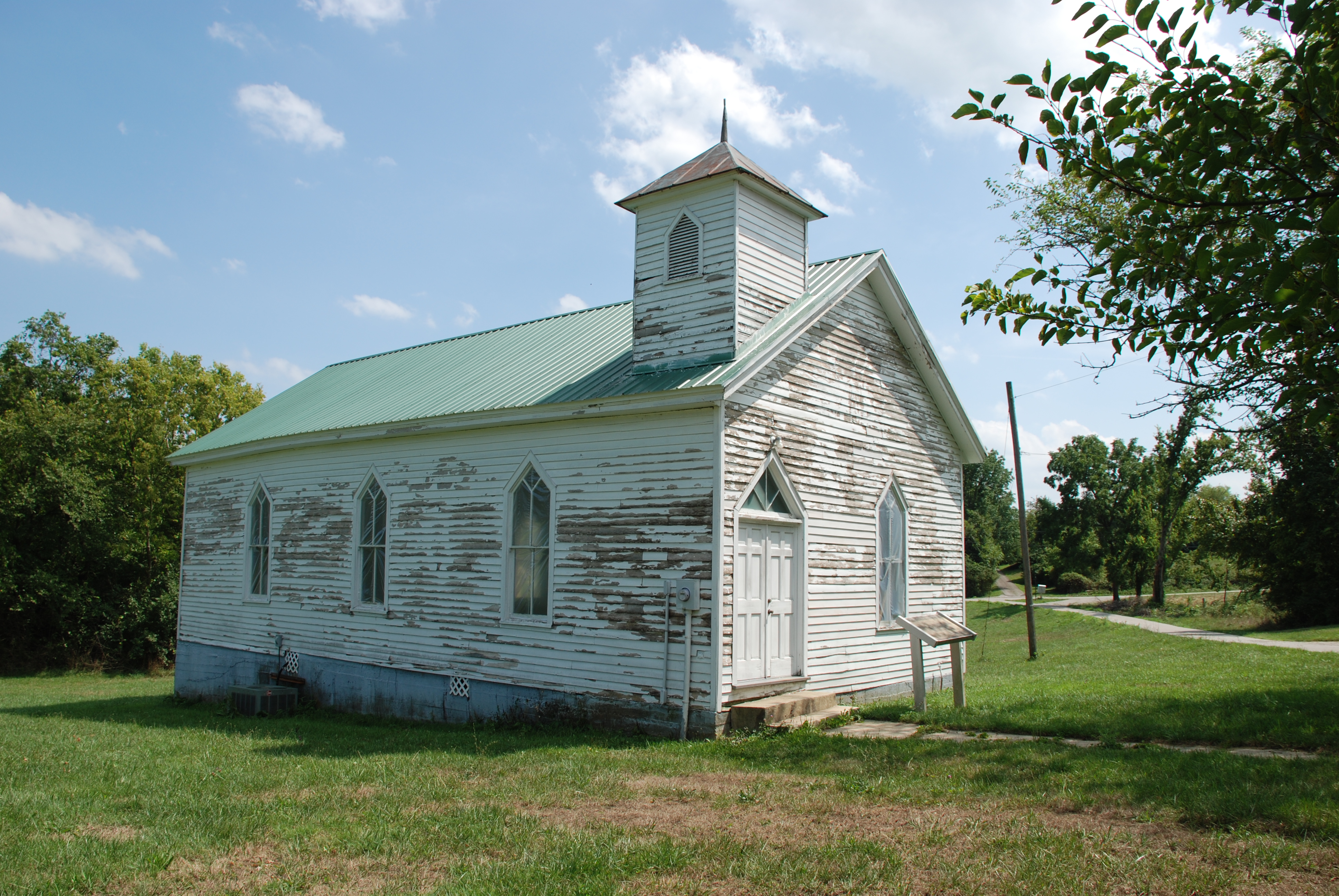
Olde Hall Church
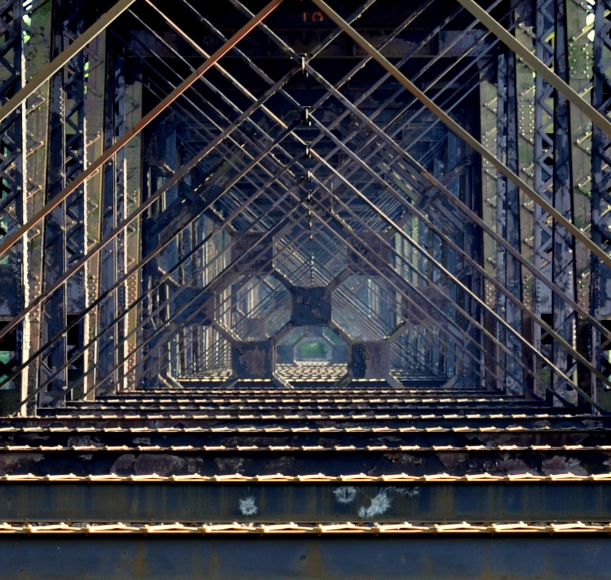
high bridge
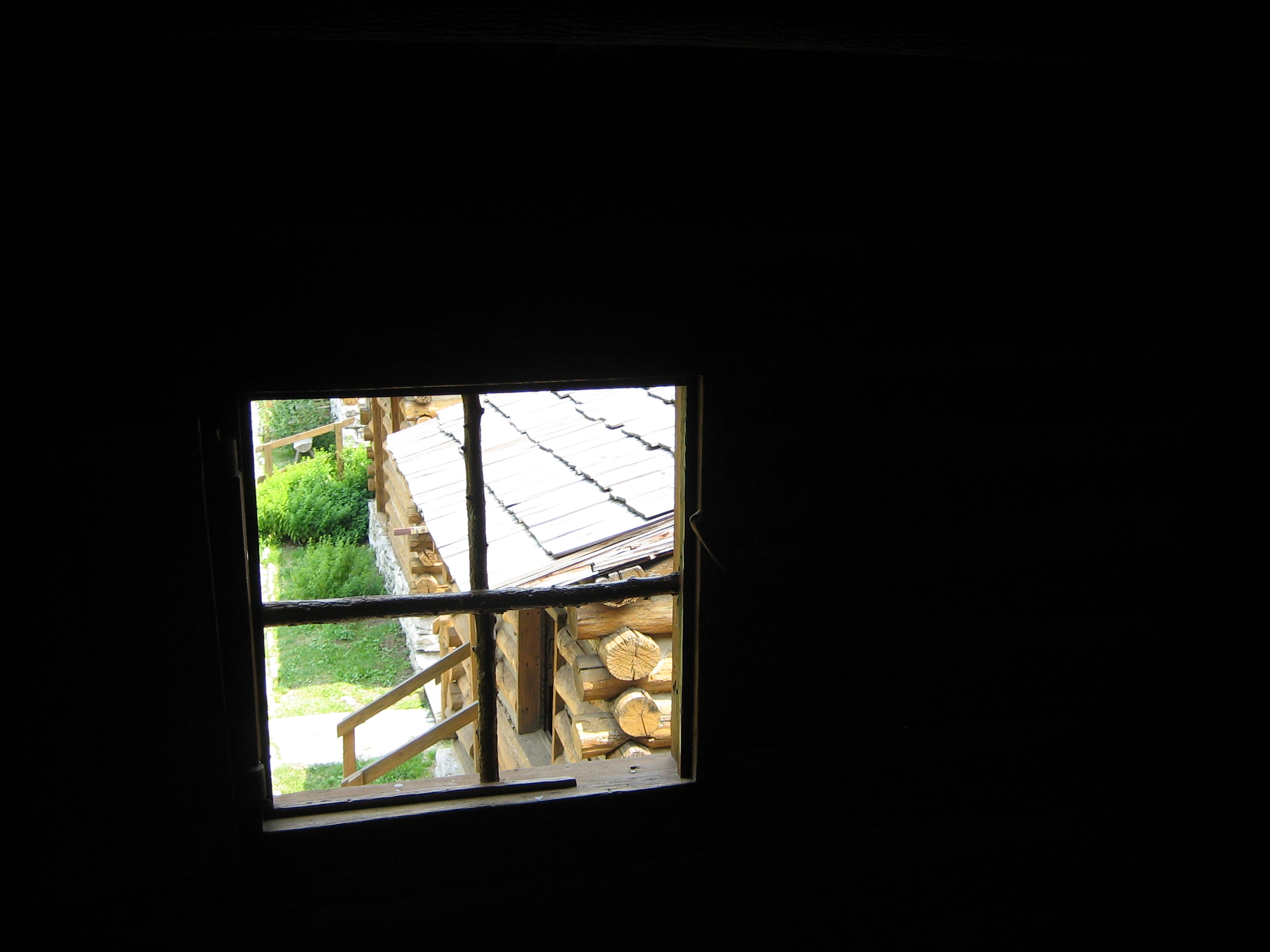
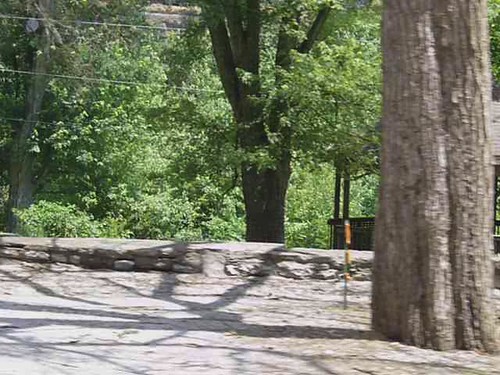
View from inside a building at Fort Harrod
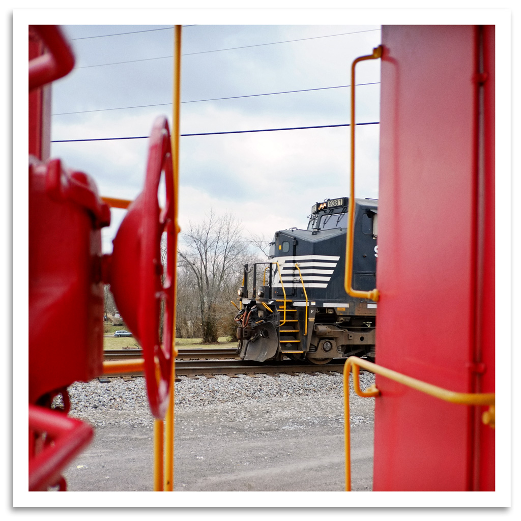
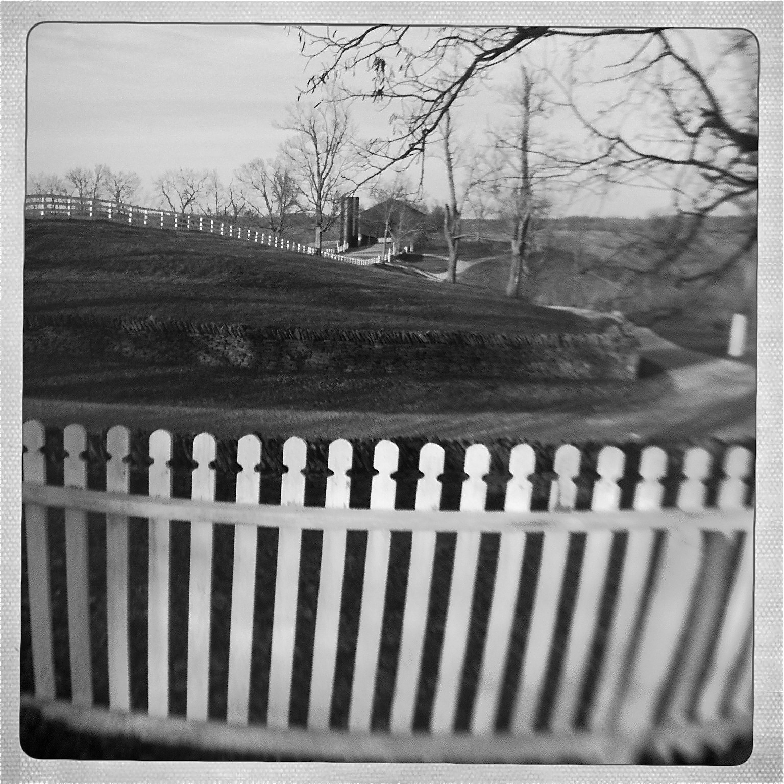
Just a Peek
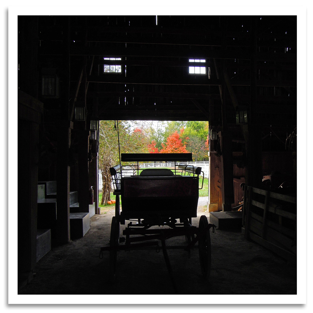
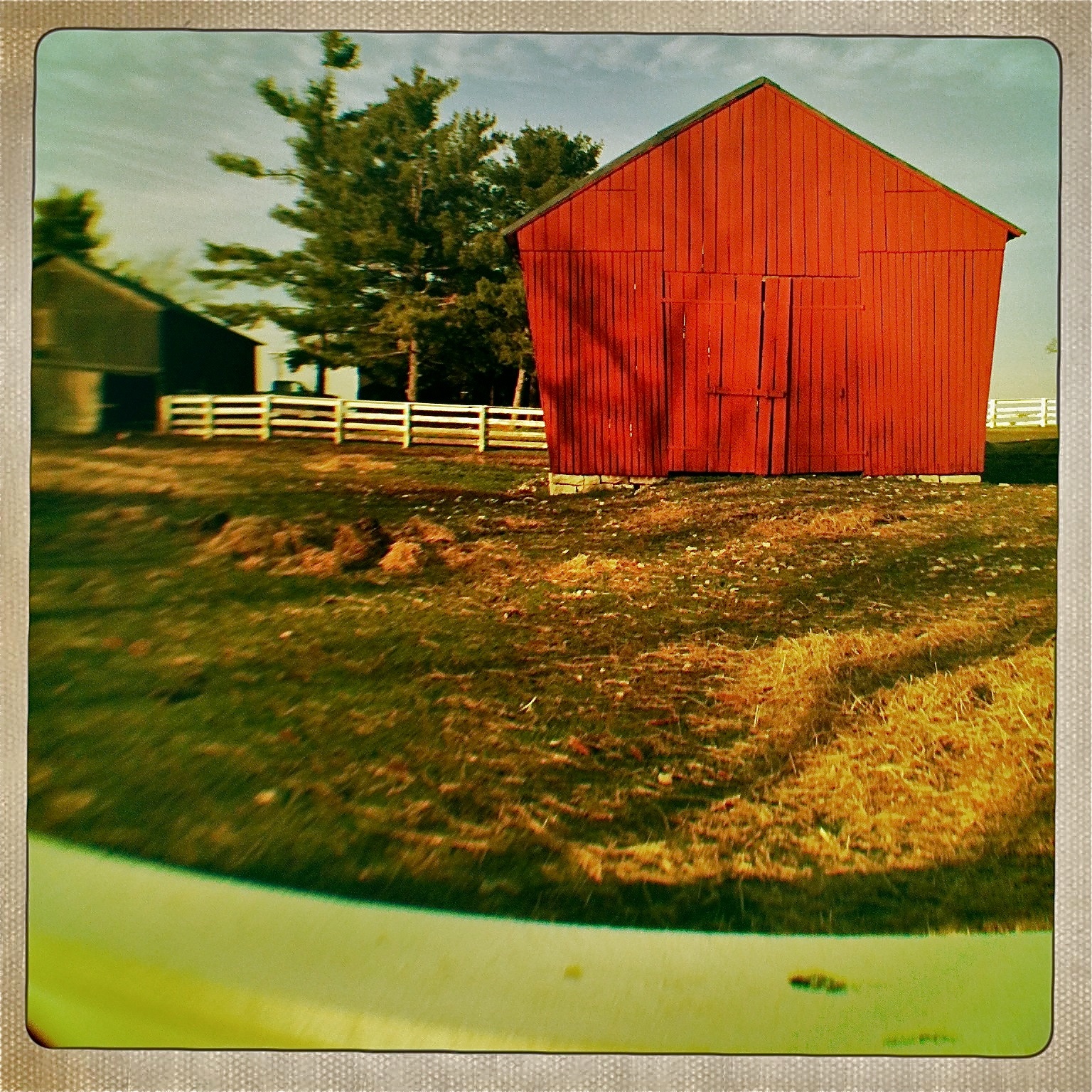
Shaker Barn
View from the East Family Dwelling

View of the East Family Dwelling

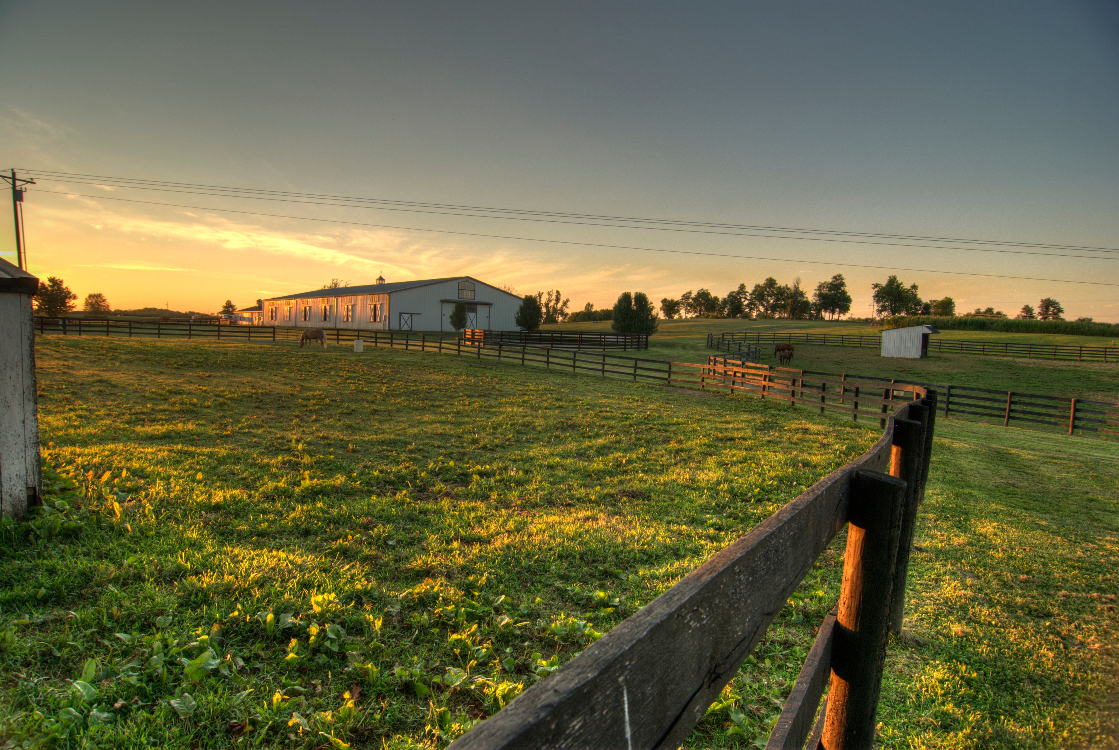
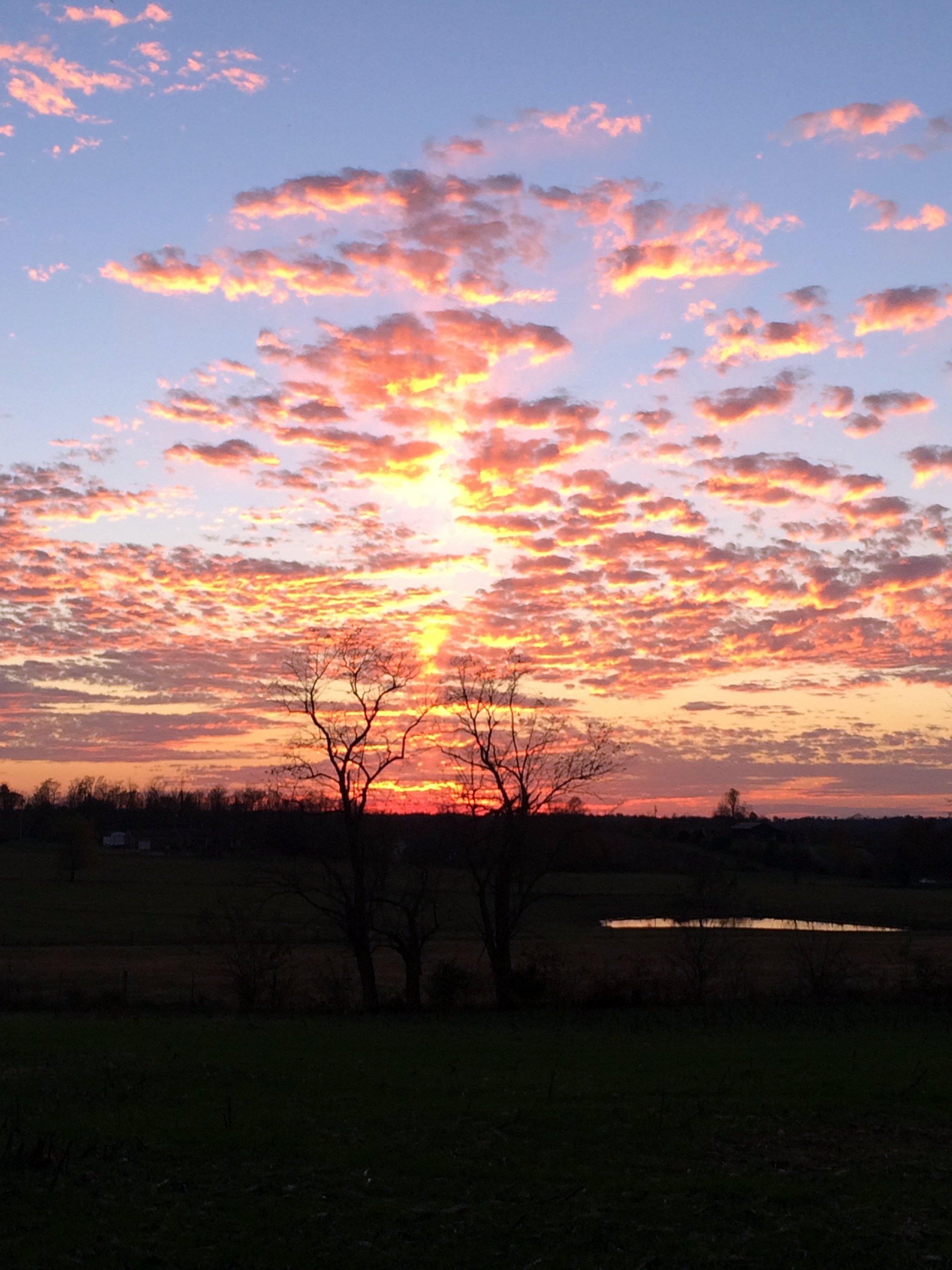
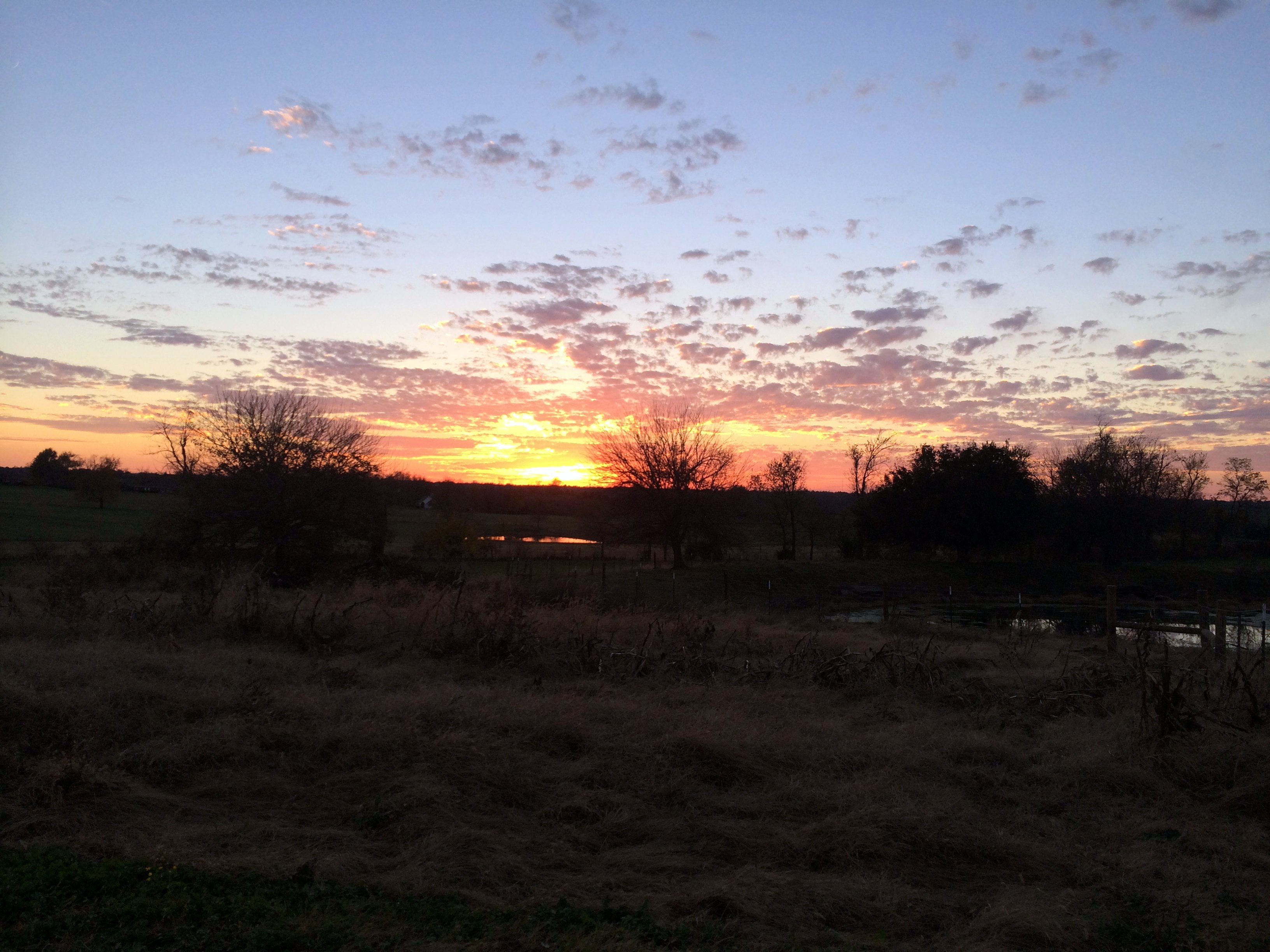
Sunrise Farm

In Her Eyes
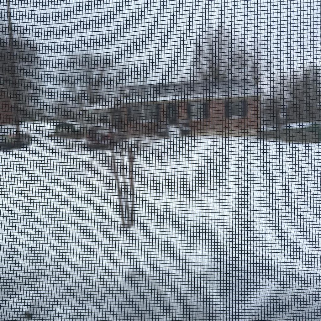
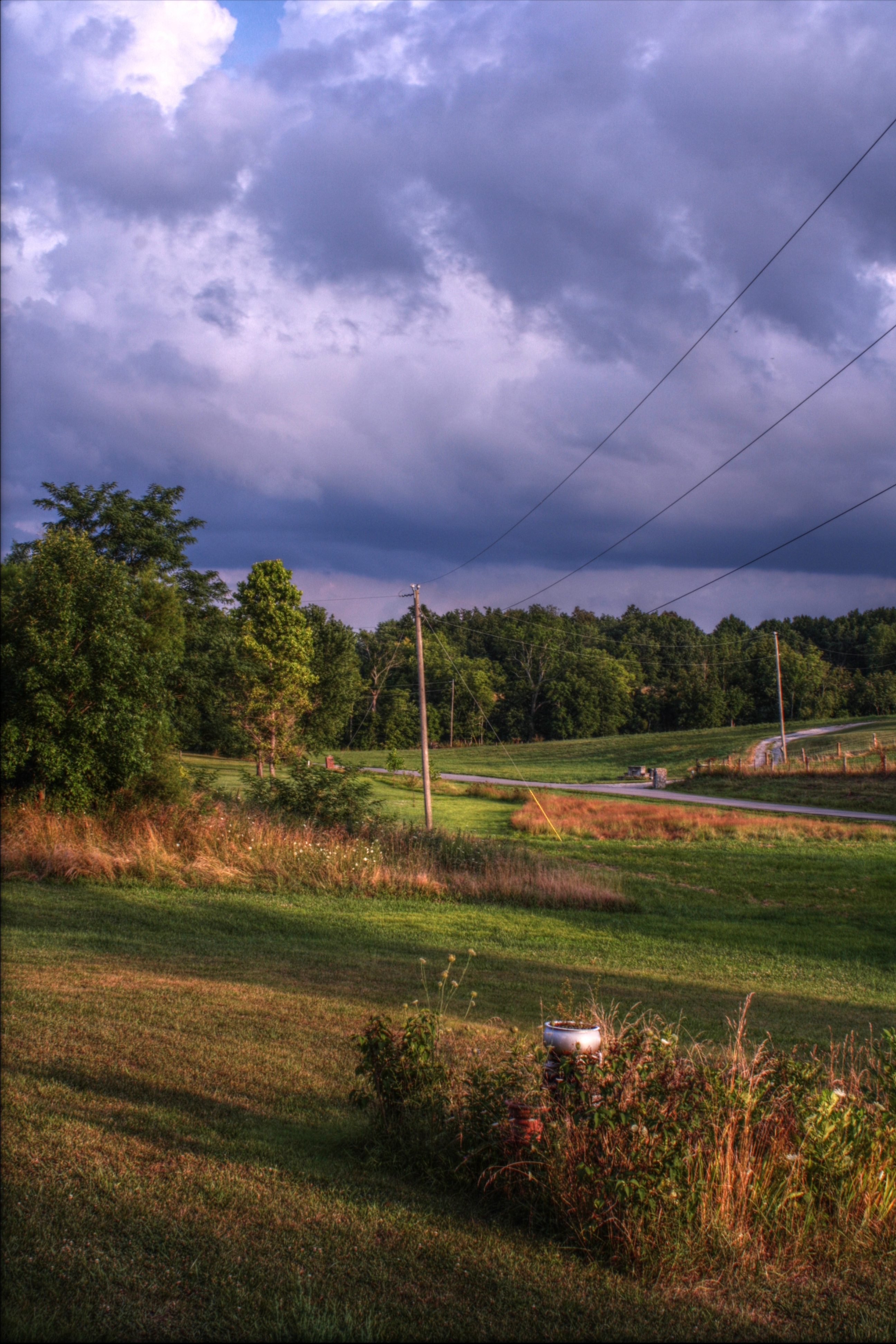
view from my front window this morning.

Panoramic Views
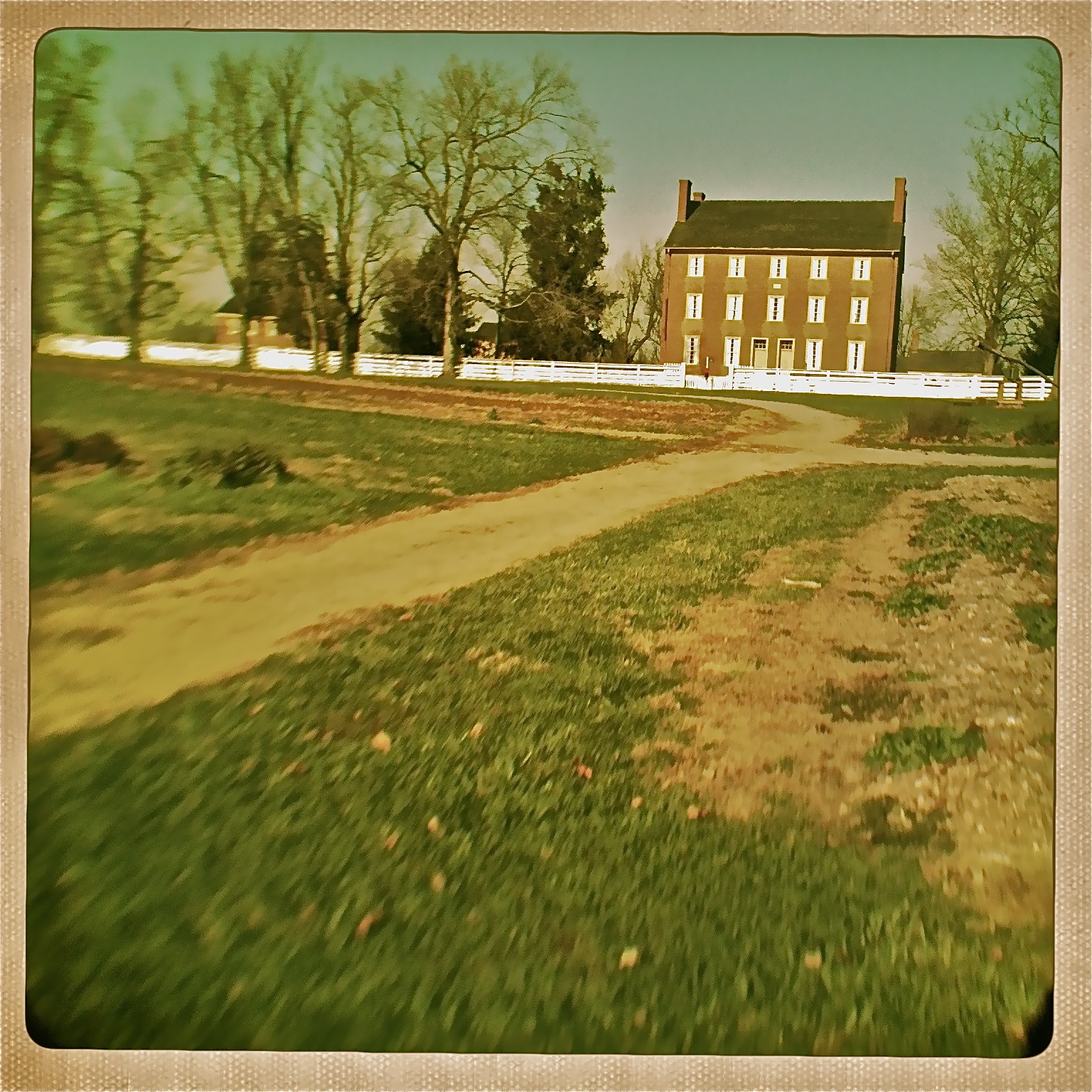
View of East Family Dwelling from the Barn
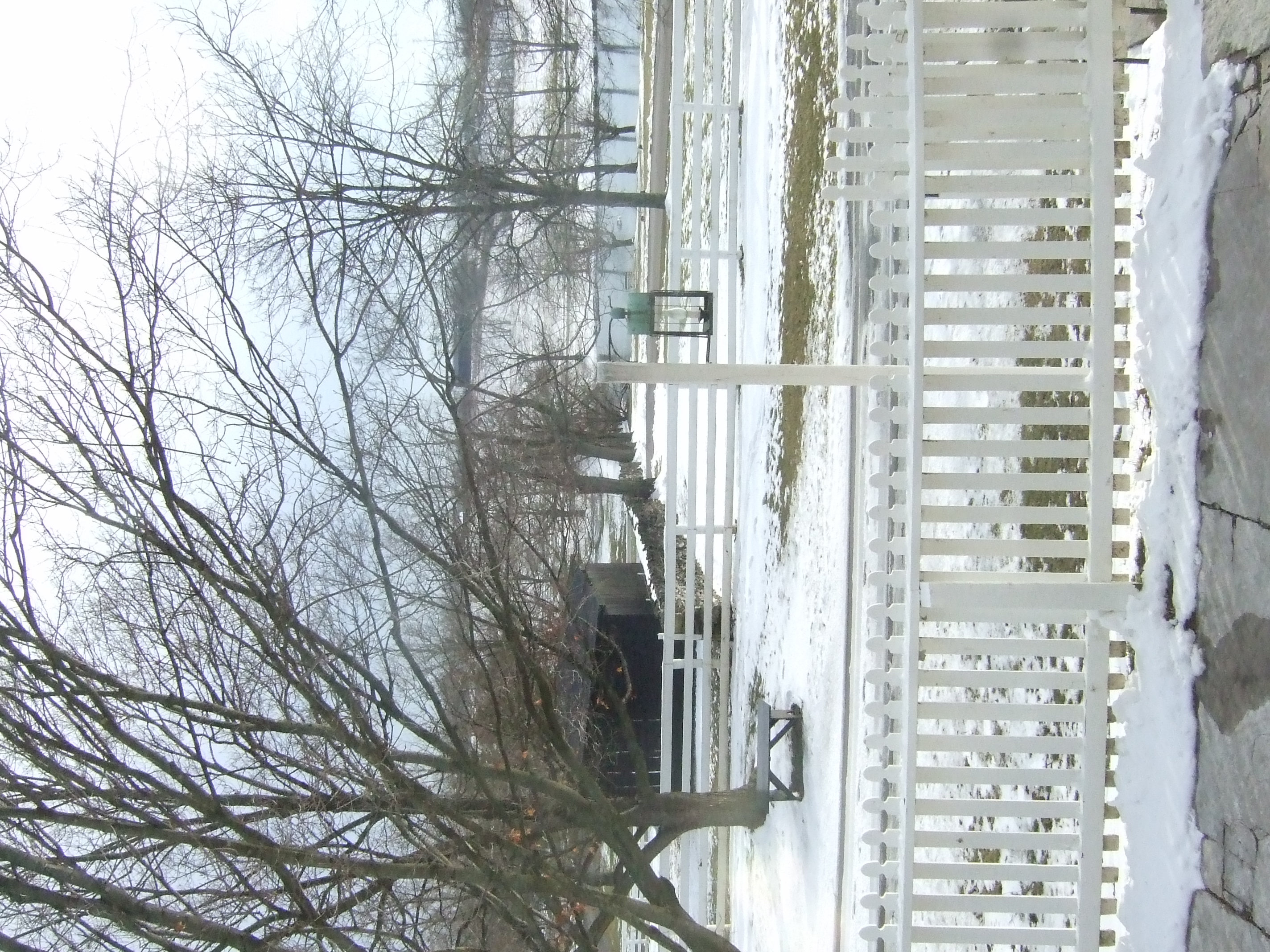
View out our wavy window

Horse Migration
View from Shaker Graveyard

Barn Views
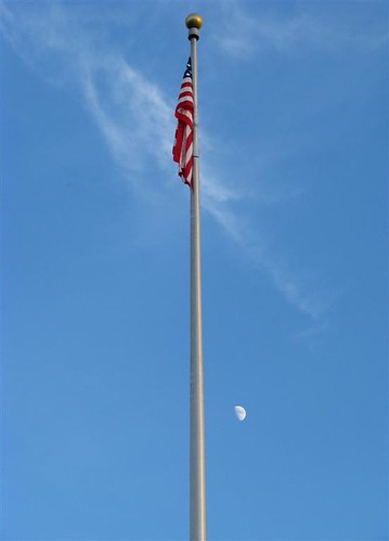
Flag Pole
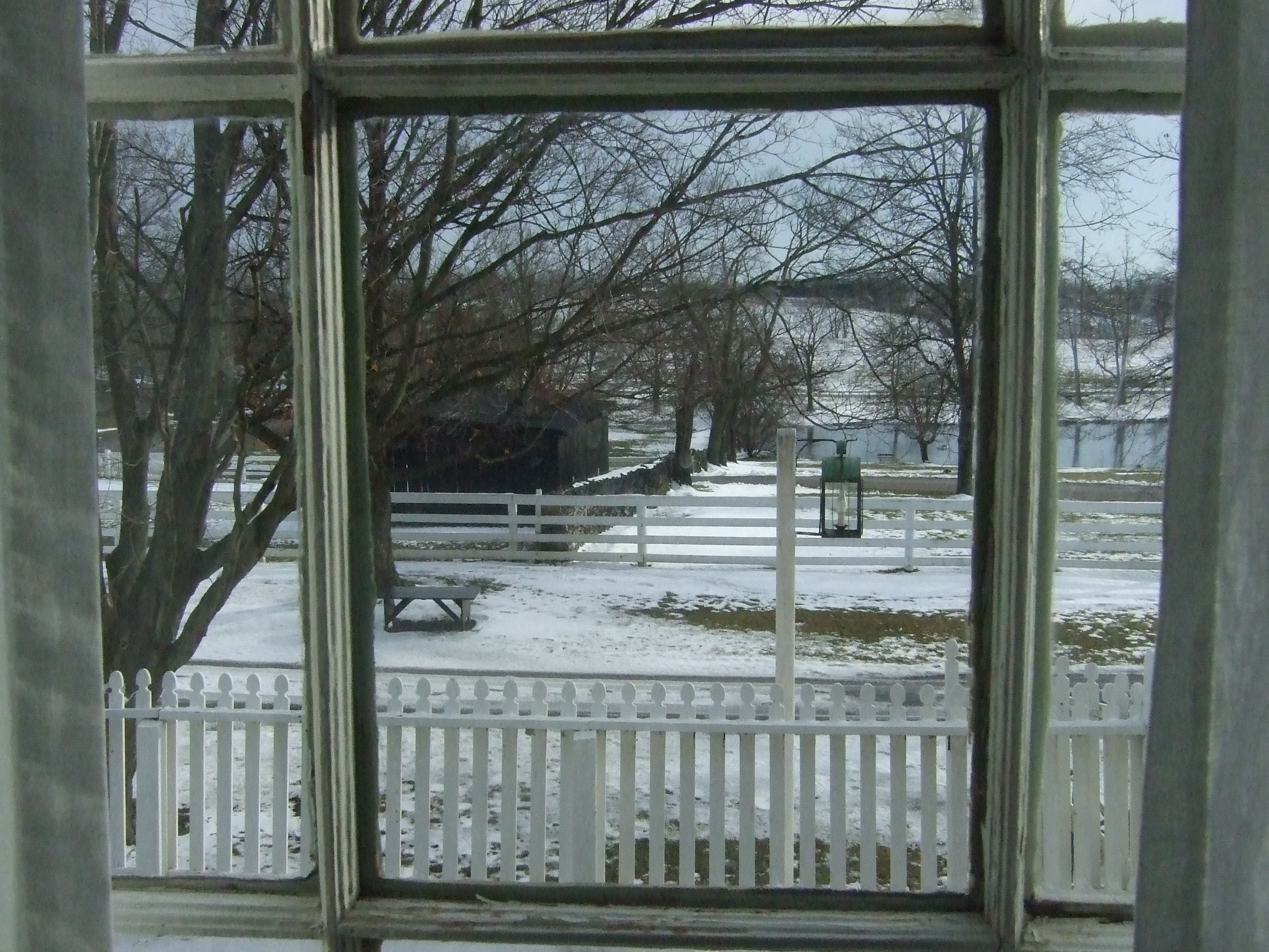
Charming view out our window
Crossing the KY River on US 68
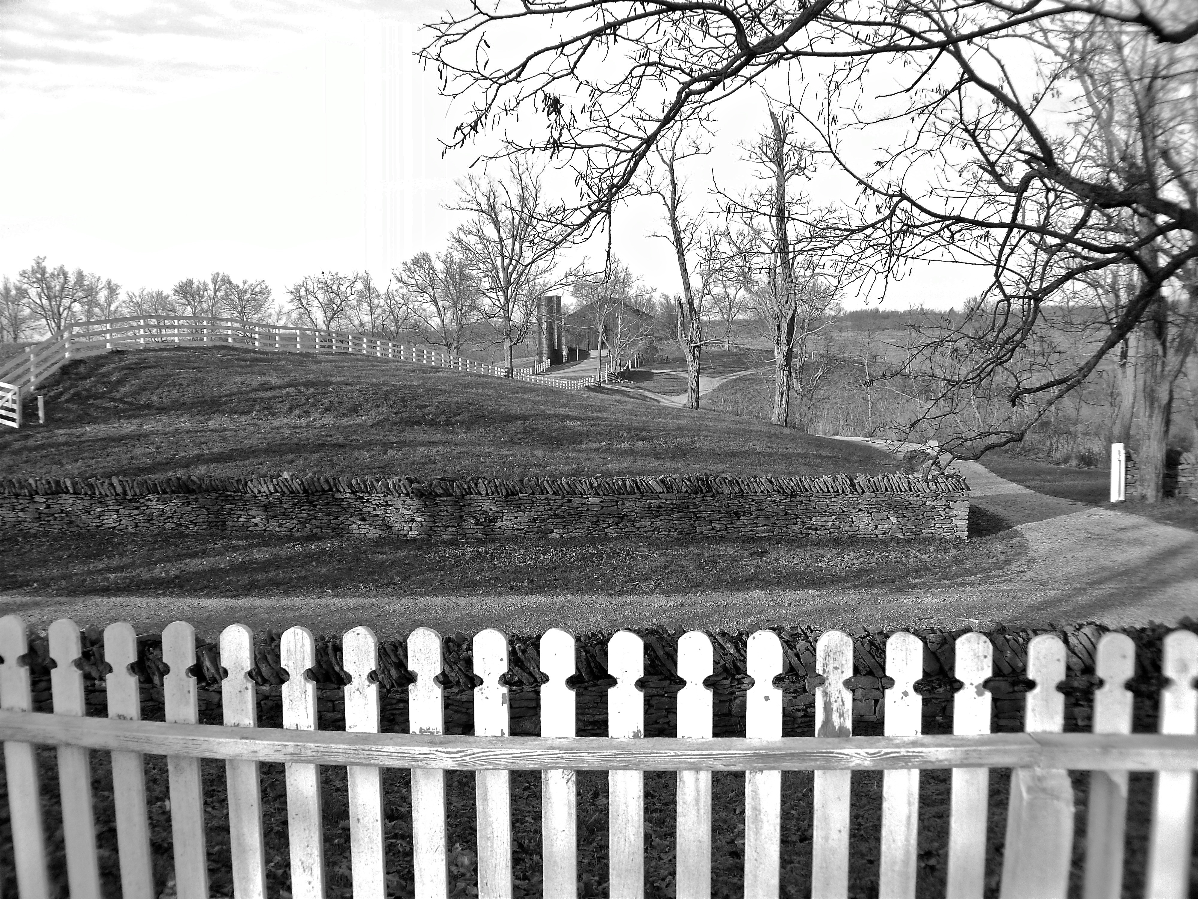
View from Shaker Graveyard
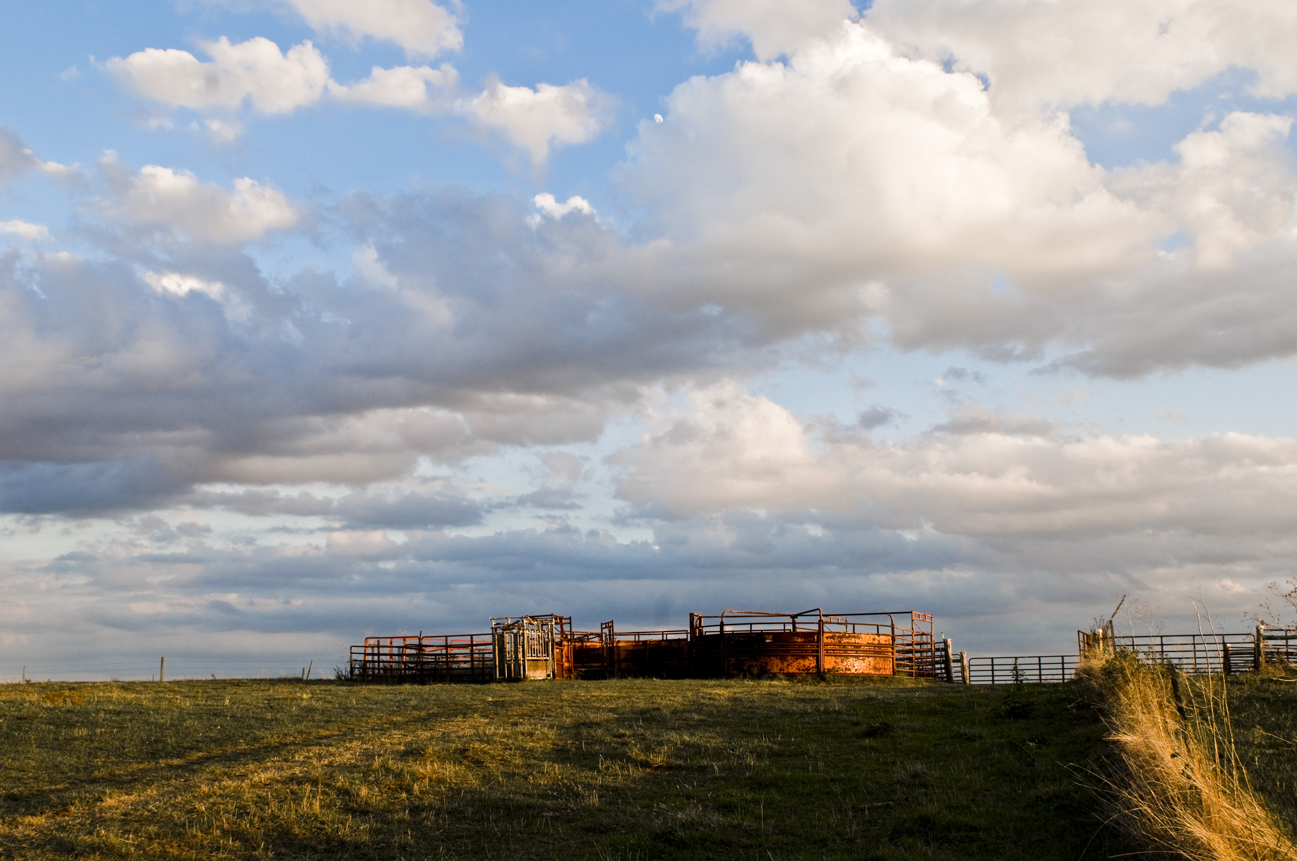
Horse Corrals at Sunset
07.12.10-pm07.56
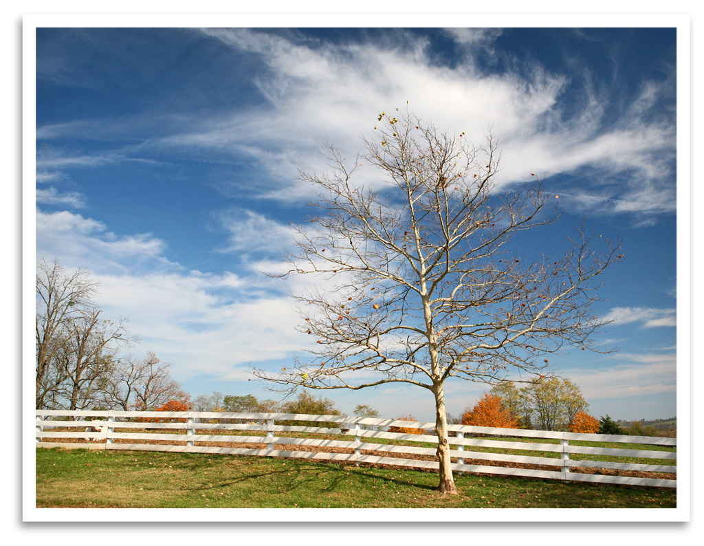
Bare Tree
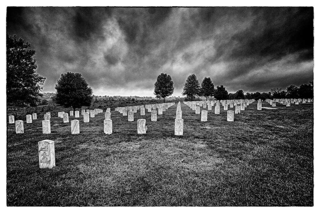
Camp Nelson Cemetary

Little Hickman 4

View of East Family Brethren's Shop & East Family Dwelling

The Farm, LLC - Danvile Kentucky
kentuky hills

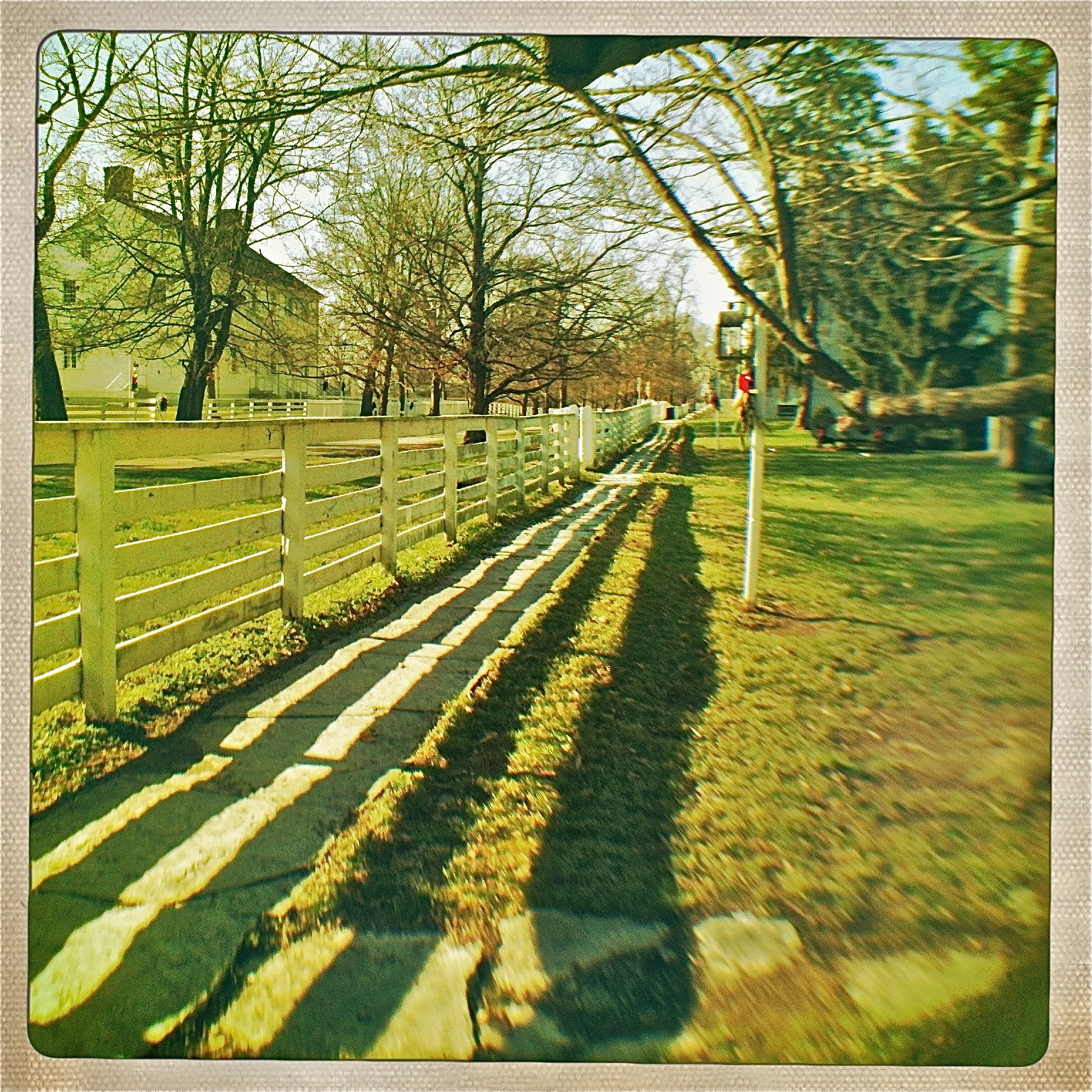
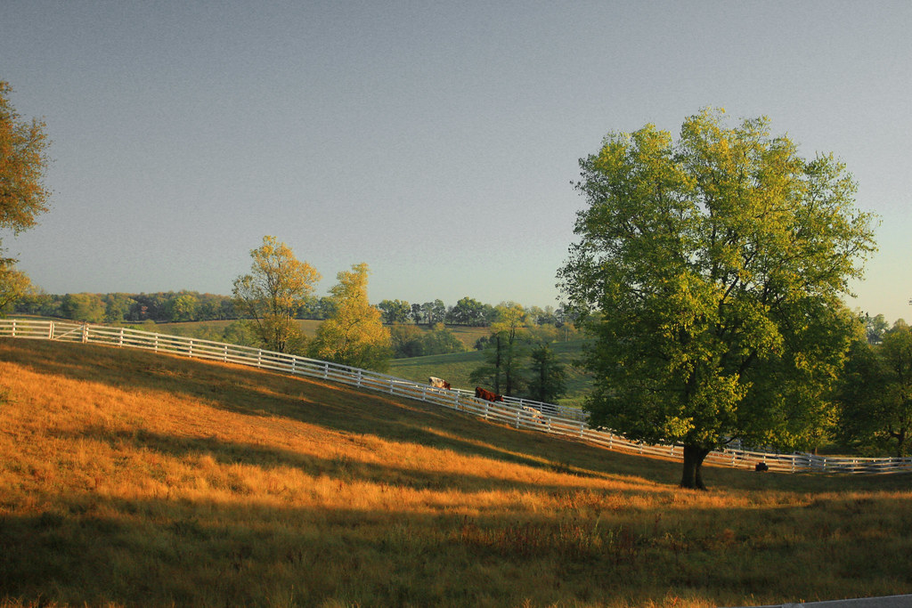
Golden Trail
Shaker Village
The Farm, LLC - Danvile Kentucky
Corn Crib

Trees-Sky-Clouds
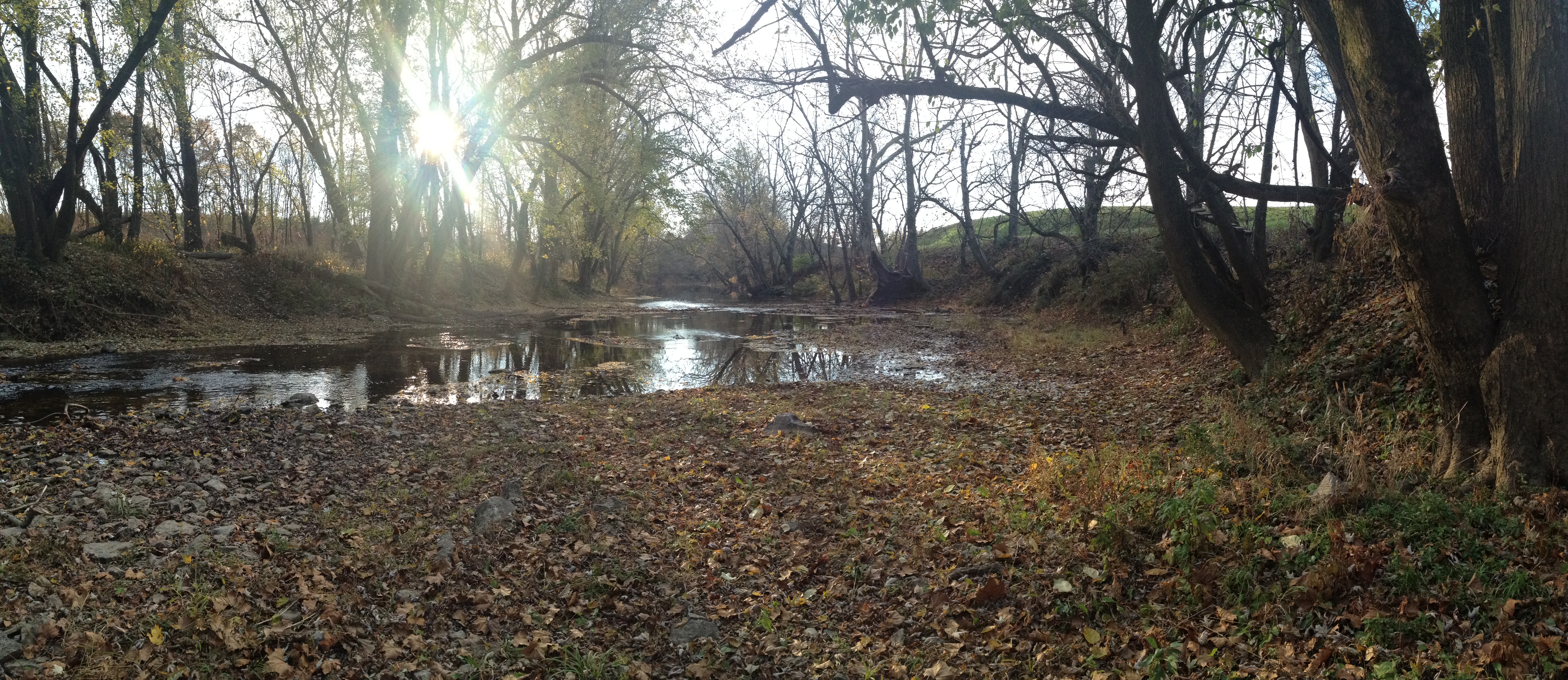
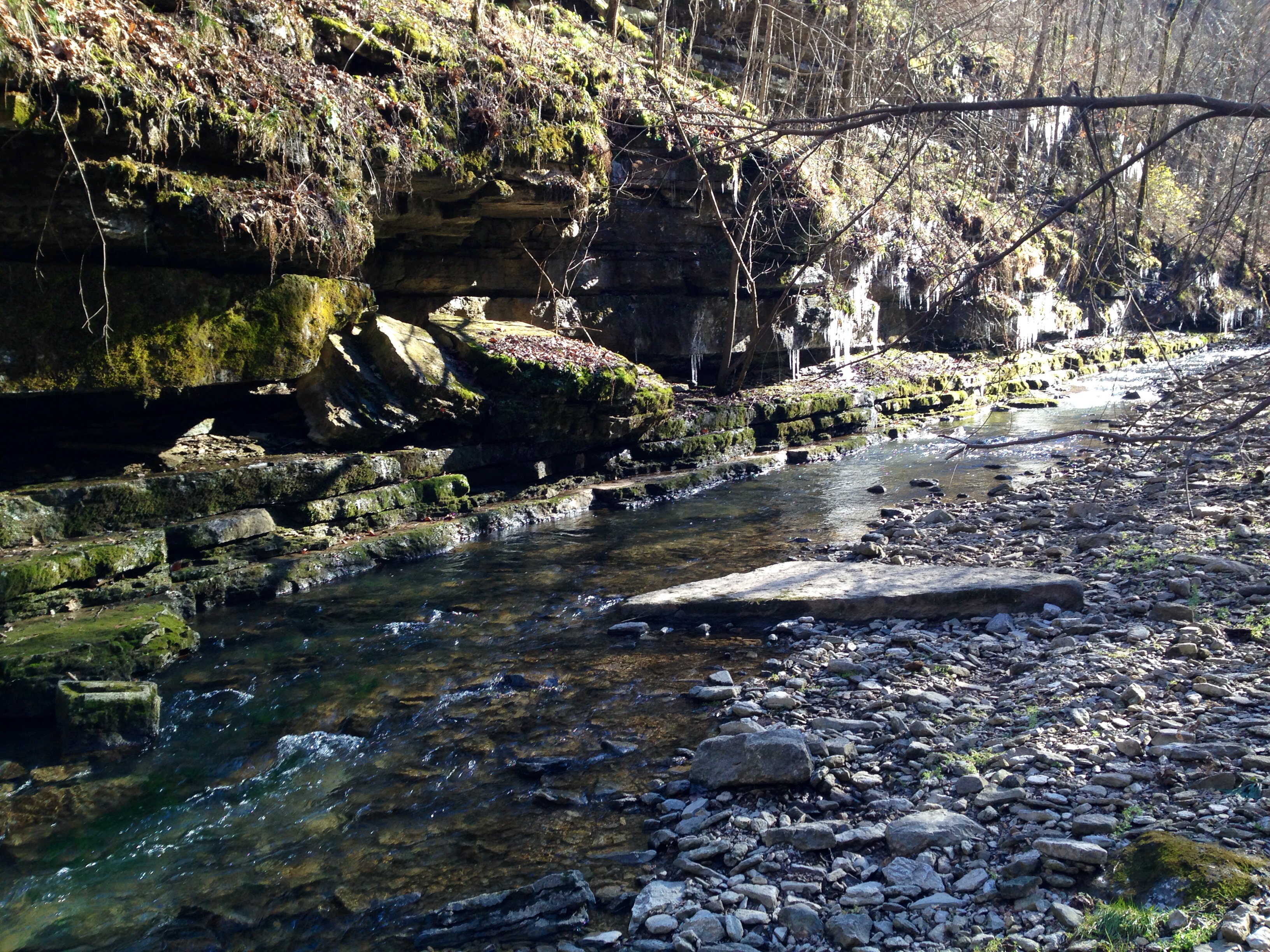
Salt River
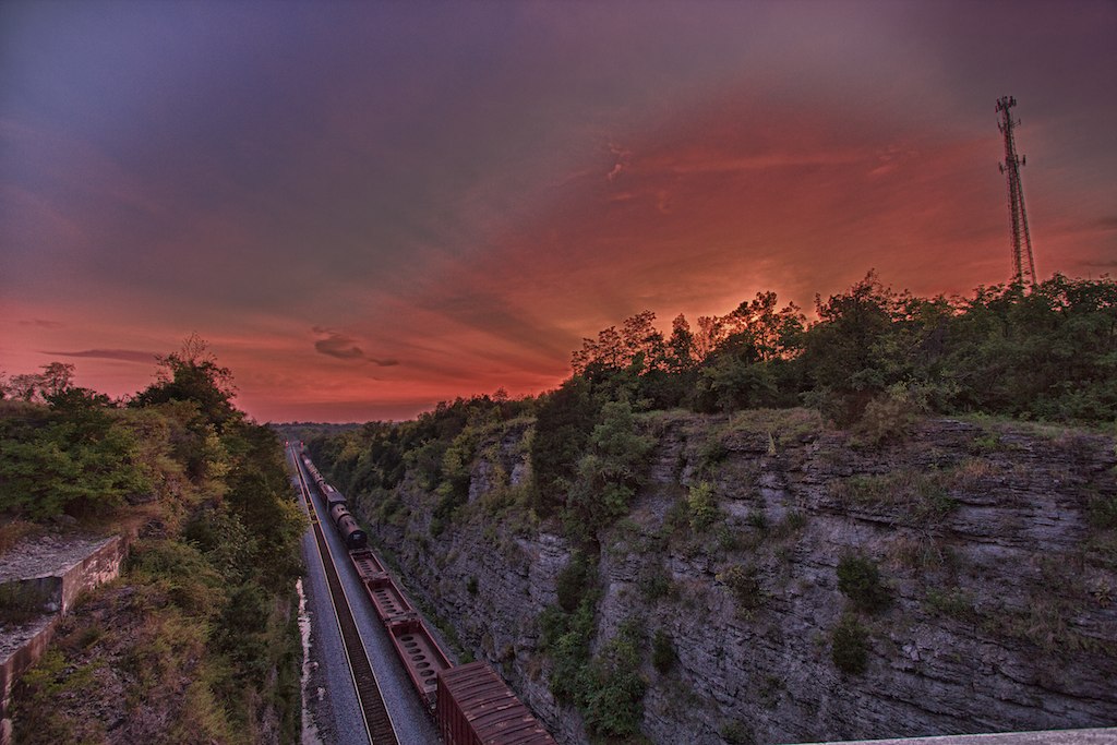
Train setting
The Farm, LLC - Danvile Kentucky
Across the way
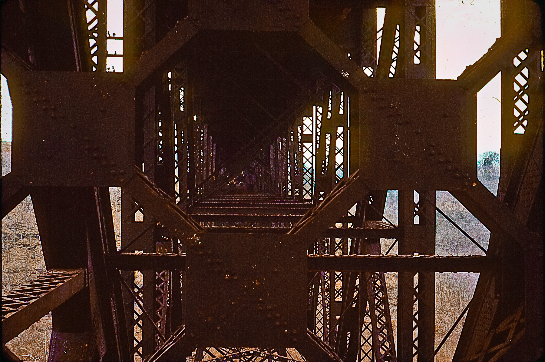
High Bridge
Shaker Village

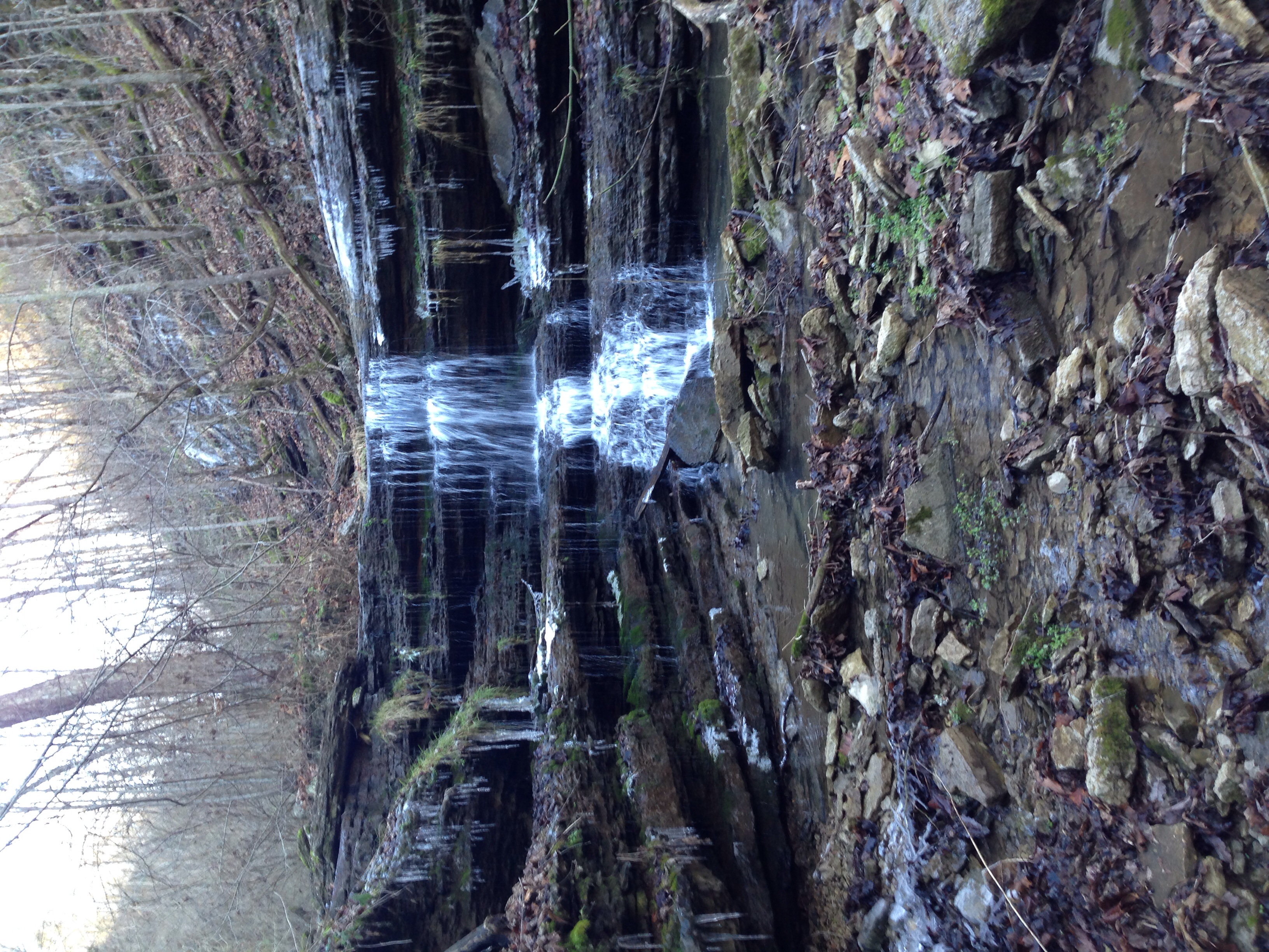
KY NorthFace 038

Sunset Horses
Topographic Map of Shakertown Rd, Harrodsburg, KY, USA
Find elevation by address:

Places near Shakertown Rd, Harrodsburg, KY, USA:
Shakertown
Fords Mill Rd, Versailles, KY, USA
1467 Warwick Rd
2726 Cummins Ferry Rd
Louisville Rd, Salvisa, KY, USA
Oregon Road
Oregon Rd, Versailles, KY, USA
2960 Hifner Rd
355 Freeman Ln
785 Garriott Ln
Salvisa
Harrodsburg, KY, USA
Mercer County
695 Calvary Rd
1662 Talmage Mayo Rd
6100-6186,6001-6109
3367 Talmage Mayo Rd
130 Ole Mill Rd
Ballard Rd, Lawrenceburg, KY, USA
Bardstown Rd, Lawrenceburg, KY, USA
Recent Searches:
- Elevation of Congressional Dr, Stevensville, MD, USA
- Elevation of Bellview Rd, McLean, VA, USA
- Elevation of Stage Island Rd, Chatham, MA, USA
- Elevation of Shibuya Scramble Crossing, 21 Udagawacho, Shibuya City, Tokyo -, Japan
- Elevation of Jadagoniai, Kaunas District Municipality, Lithuania
- Elevation of Pagonija rock, Kranto 7-oji g. 8"N, Kaunas, Lithuania
- Elevation of Co Rd 87, Jamestown, CO, USA
- Elevation of Tenjo, Cundinamarca, Colombia
- Elevation of Côte-des-Neiges, Montreal, QC H4A 3J6, Canada
- Elevation of Bobcat Dr, Helena, MT, USA