Elevation of Wandsworth Dr, Shasta Lake, CA, USA
Location: United States > California > Shasta County > Shasta Lake >
Longitude: -122.36894
Latitude: 40.6591079
Elevation: 225m / 738feet
Barometric Pressure: 99KPa
Elevation Map:
Satellite Map:
Related Photos:

Sundial Bridge at Turtle Bay (II)

Sundial Bridge Lightning, The Sundial Bridge, Redding, CA

Sundial Bridge at Turtle Bay
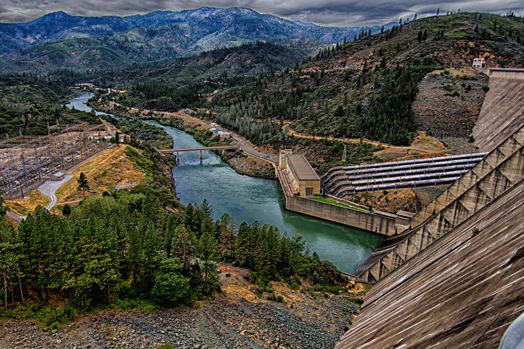
Shasta Dam Overlook 1533
Sundial Bridge, Redding

Self Portrait - 3

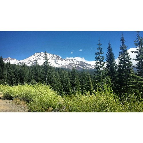
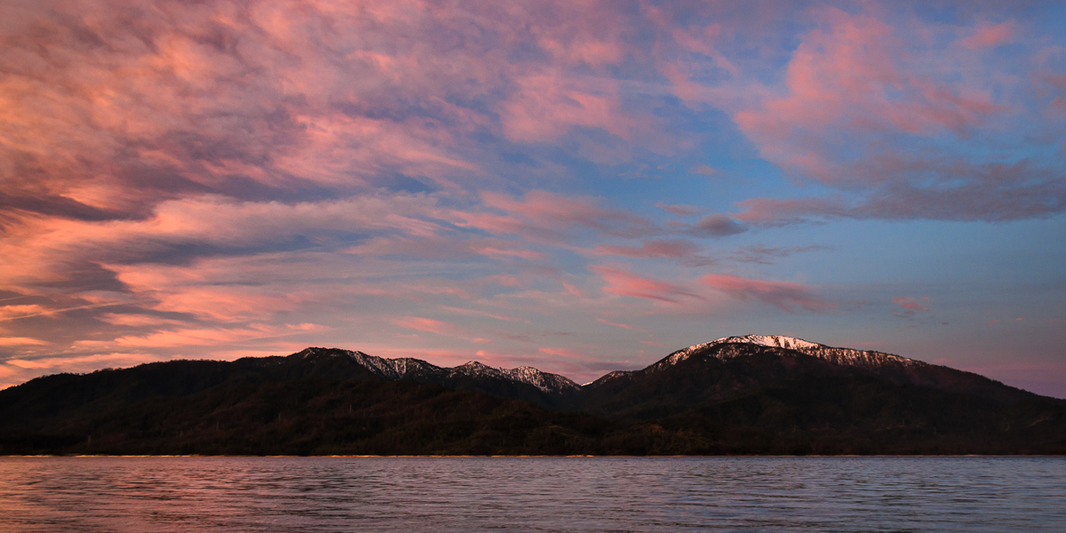
Mt. Shasta

Self Portrait - 2
Whiskeytown Lake
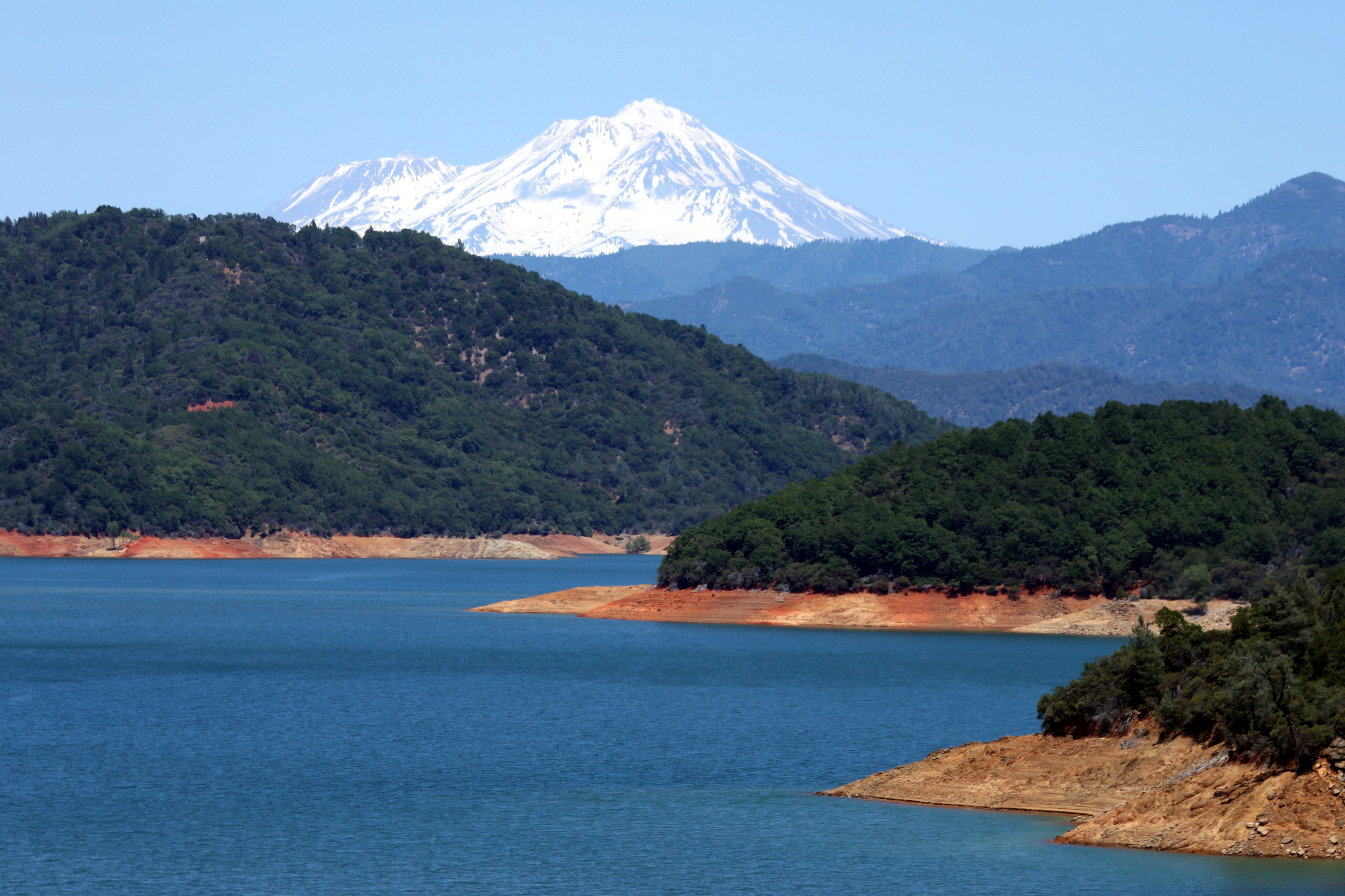
Mount Shasta

Mt. Shasta

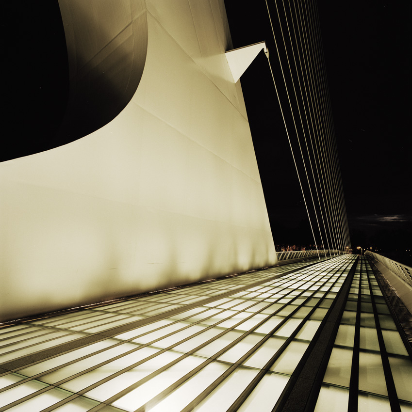
Calatrava's Sundial Bridge, Redding, California

Changed hotels. Here's the view from the room - sunset on the Sacramento River. #roadtrip #redding #california #hotel #view #Sacramento #river #instagold #instagood #instagram #igdaily #igaddicts #ipodtouch #ipod
Learning to Glow

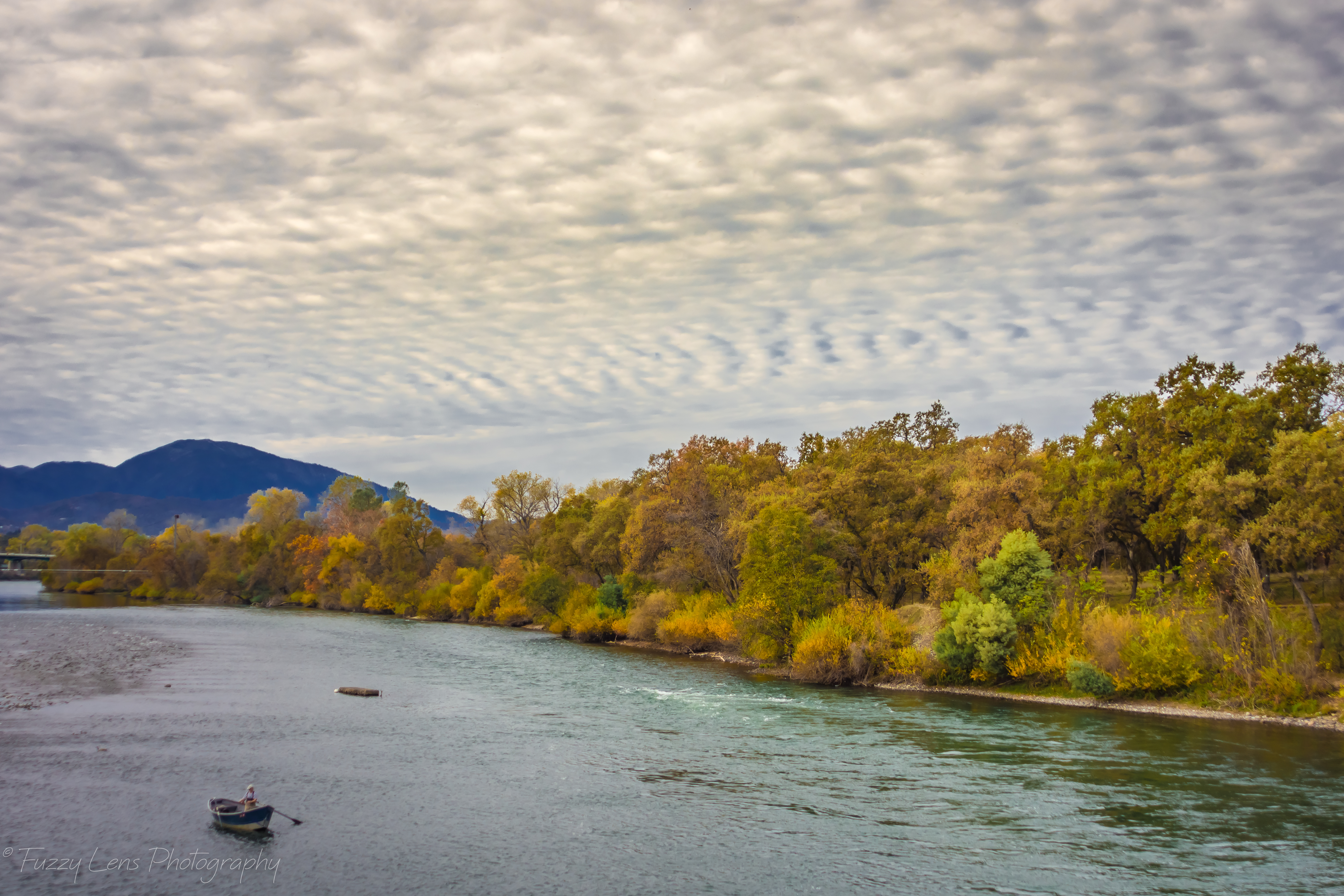
Sunset over Sacramento River

View just now from the hotel room. #sunset #colorful #clouds #sky #evening #winter #redding #california #roadtrip #Creation #beauty #ipod #ipodtouch #igdaily #igaddicts #instagold #instagood #instagram
Morning View

Roberts_68 Sundial Bridge

Sundial Bridge at Turtle Bay Exploration Park facing Sacramento River west view in Redding, California.
A perfect view of #MtShasta to end the weekend.

Sundial Bridge at Turtle Bay Exploration Park facing southeast view in Redding, California.
Tears of Solitude

Could Be Lost

Beyond The Bridge

I-5 Crossing (p)

Shore Bumps

Sundial Bridge

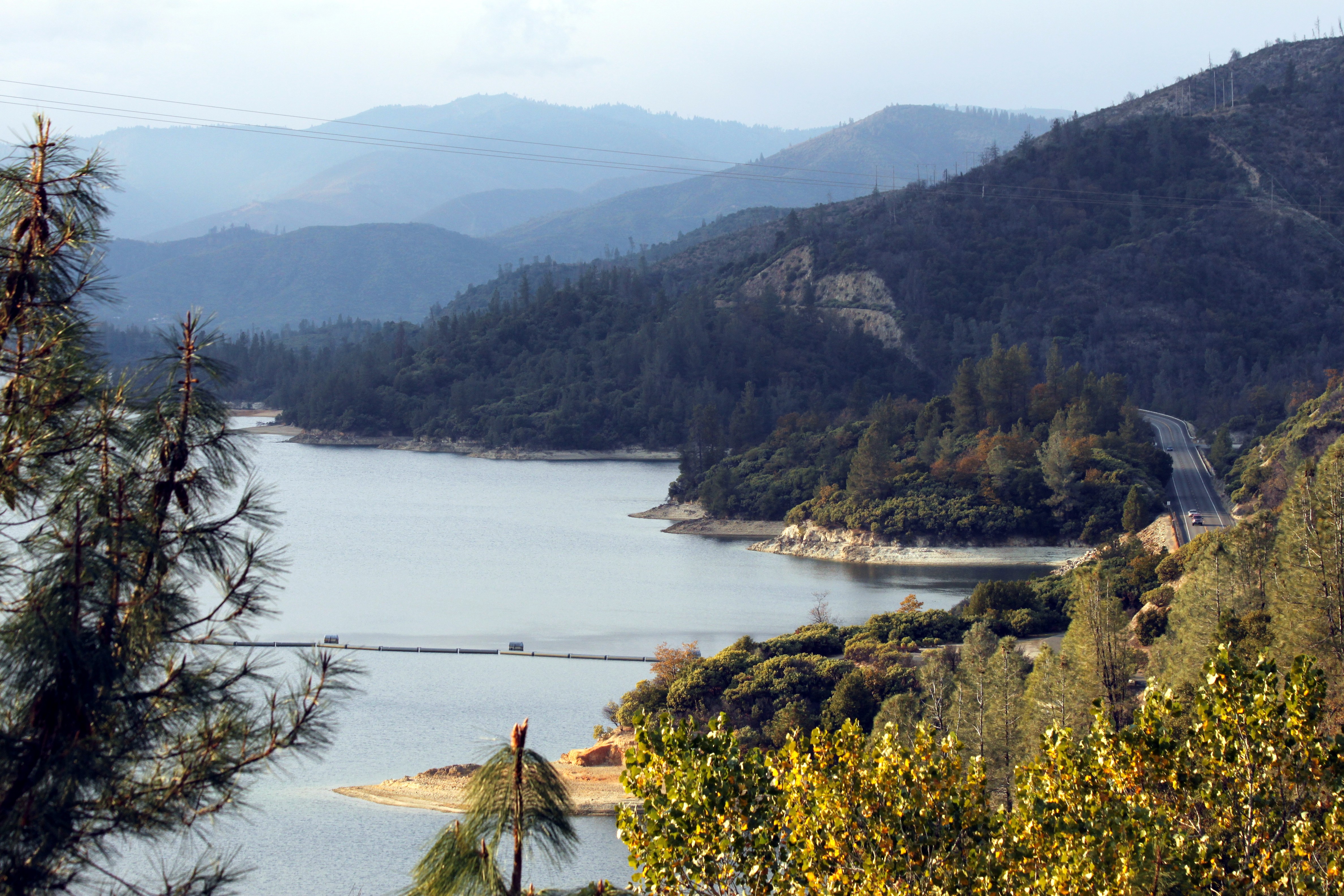
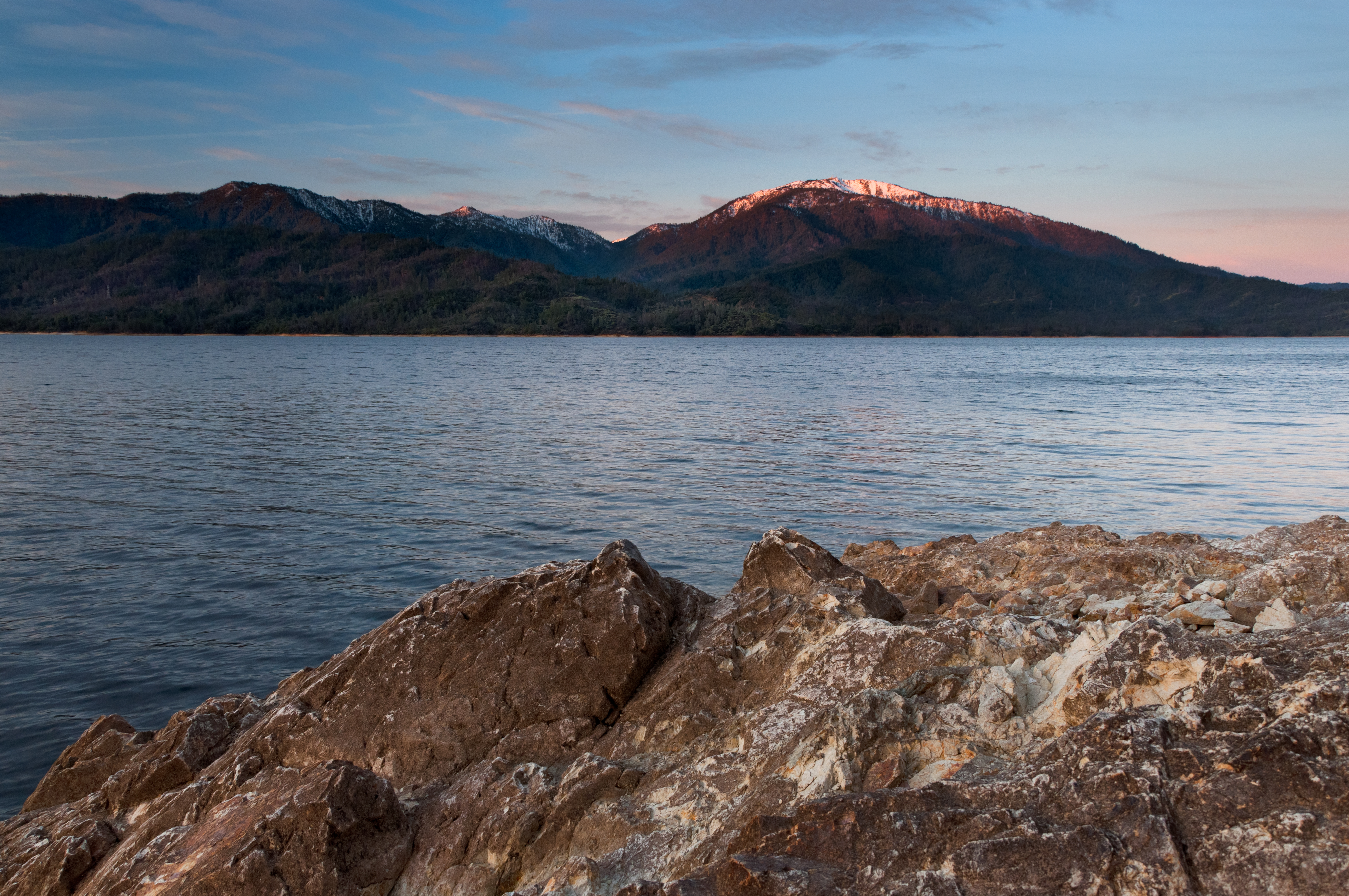
Lake Shasta
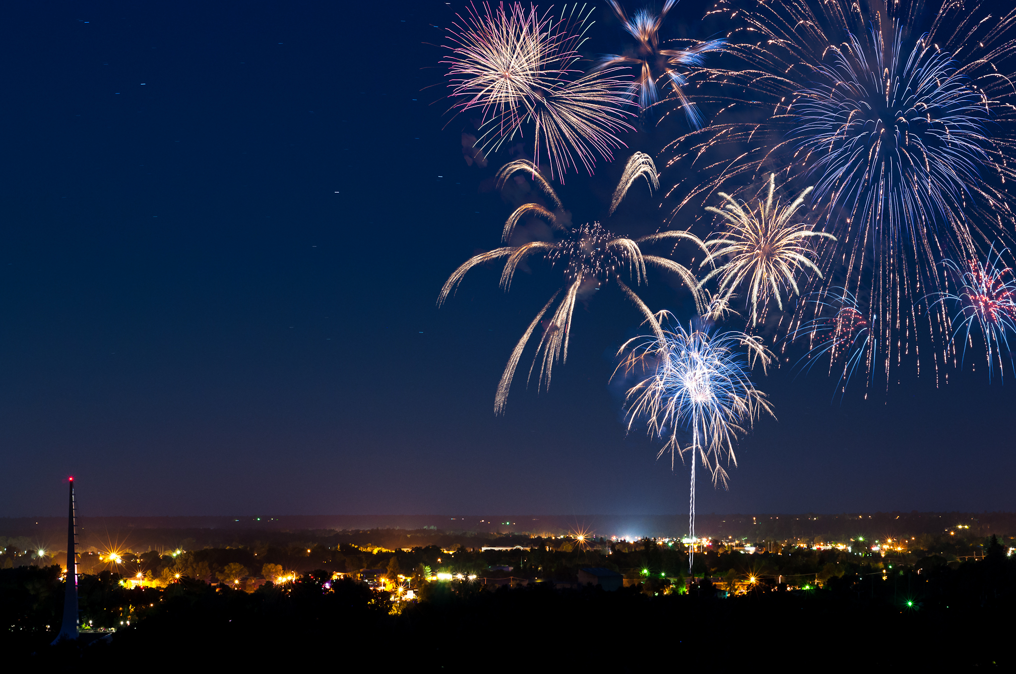
Redding 4th of July Fireworks
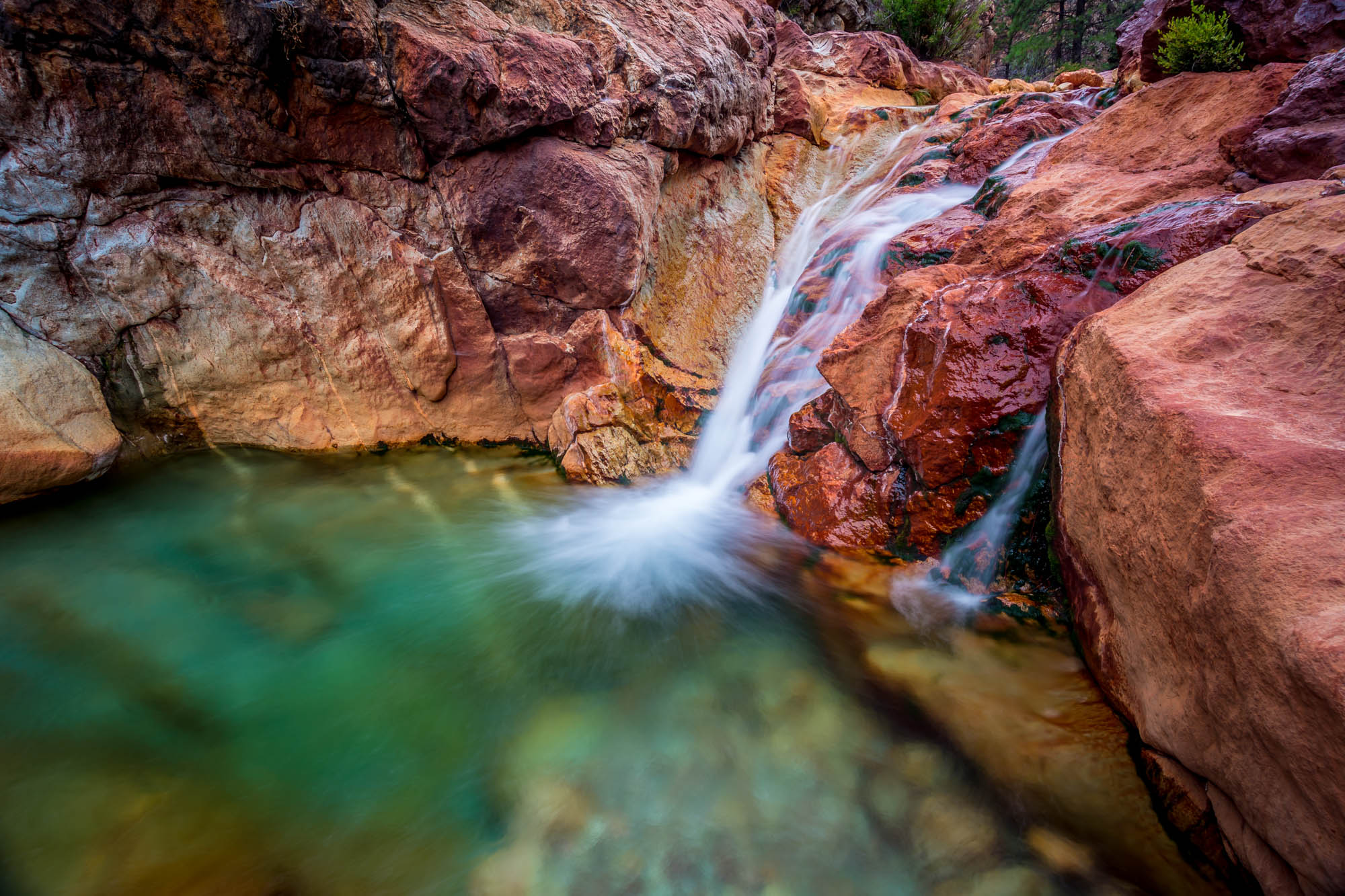
Little Backbone Creek, Shasta Lake, CA, USA
171124 Black Friday gold-001J
Whiskeytown Lake (Rekindled Expectations)
Towards Destiny - Shasta National Forest, CA, USA

A Path of Exploration and Learning - Turtle Bay Exploration Park - Redding, Shasta County, California
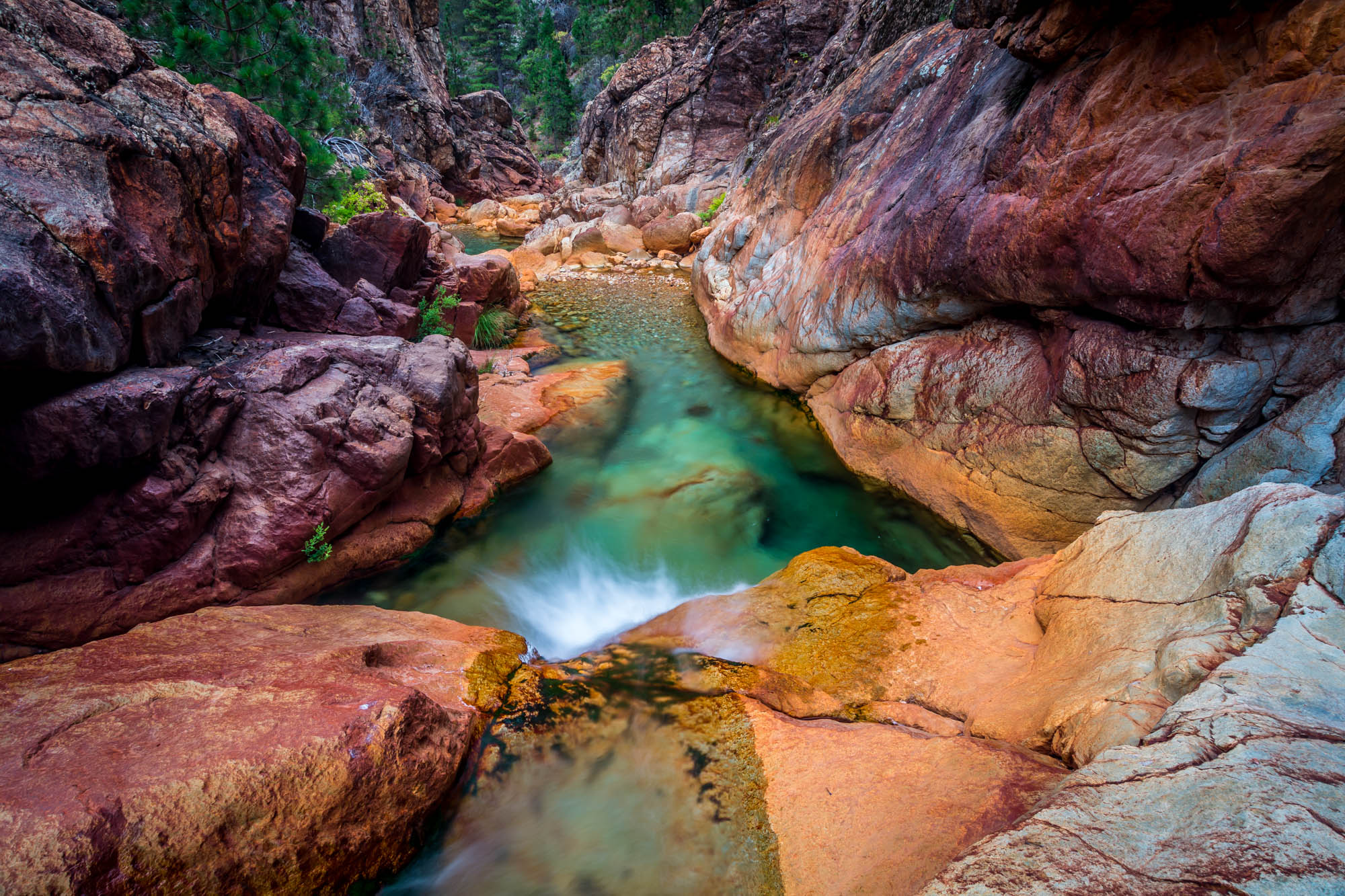
Little Backbone Creek, Shasta Lake, CA, USA
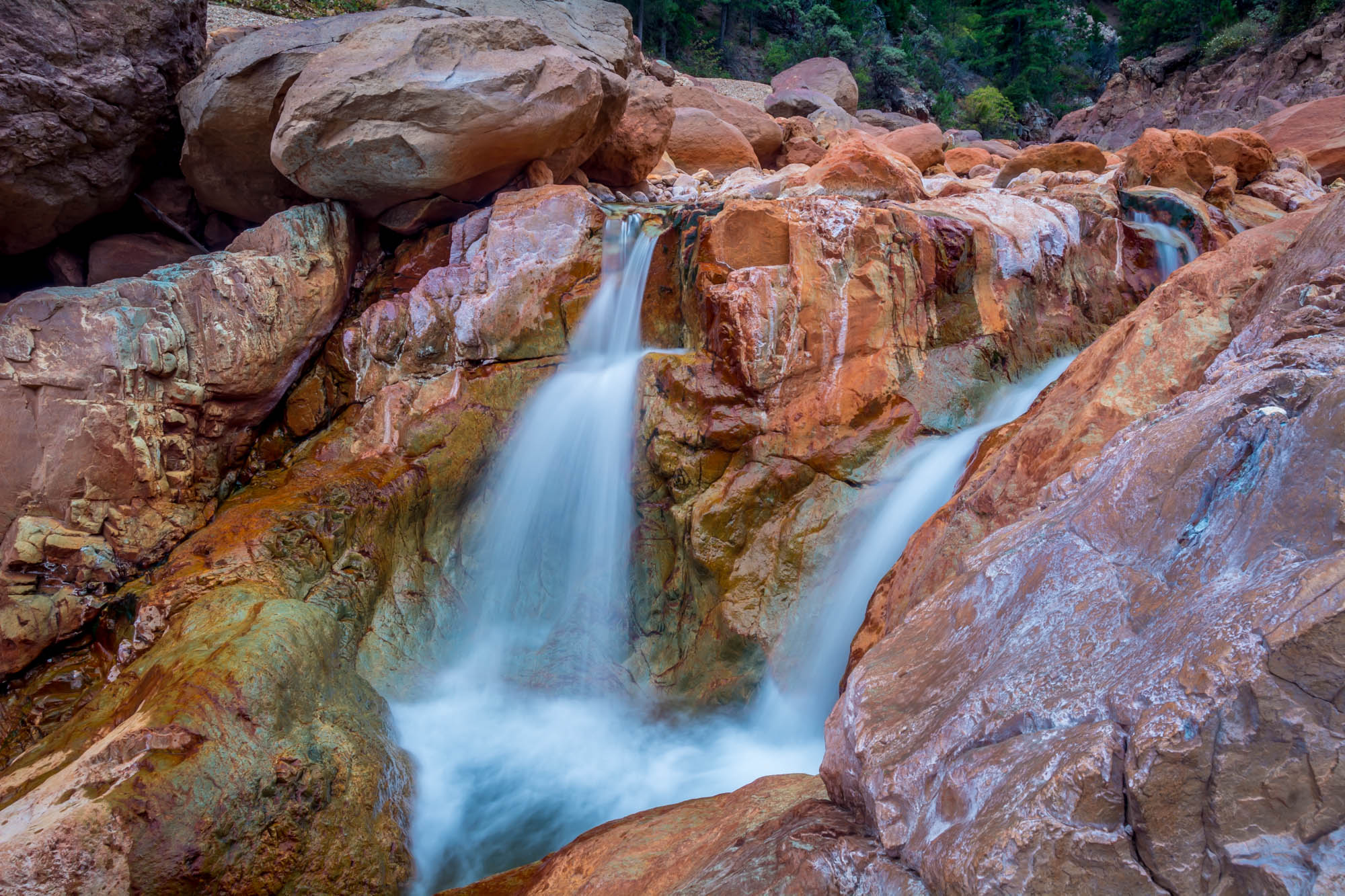
Little Backbone Creek - Shasta National Forest, CA, USA
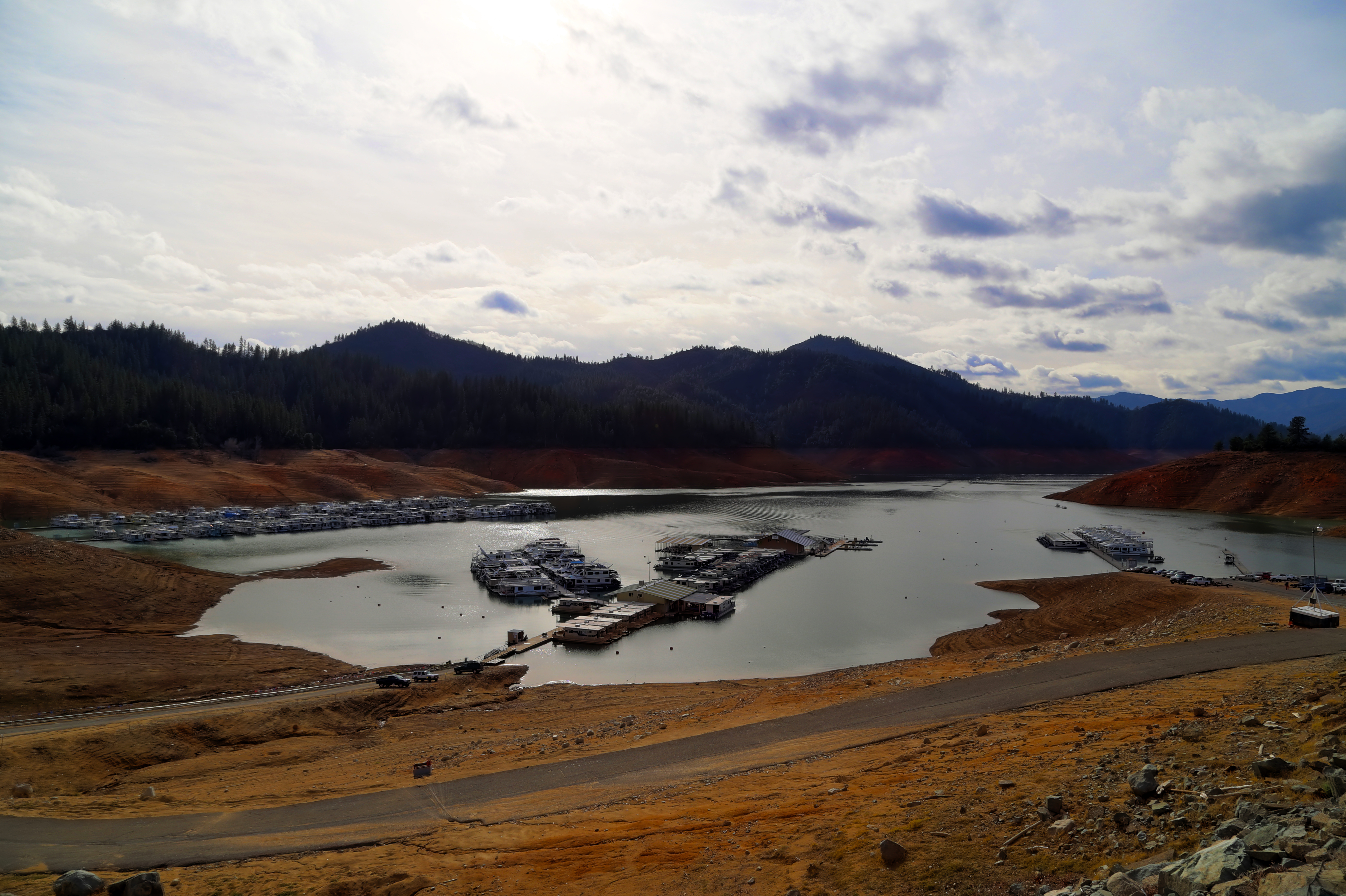
Lake Shasta's low point
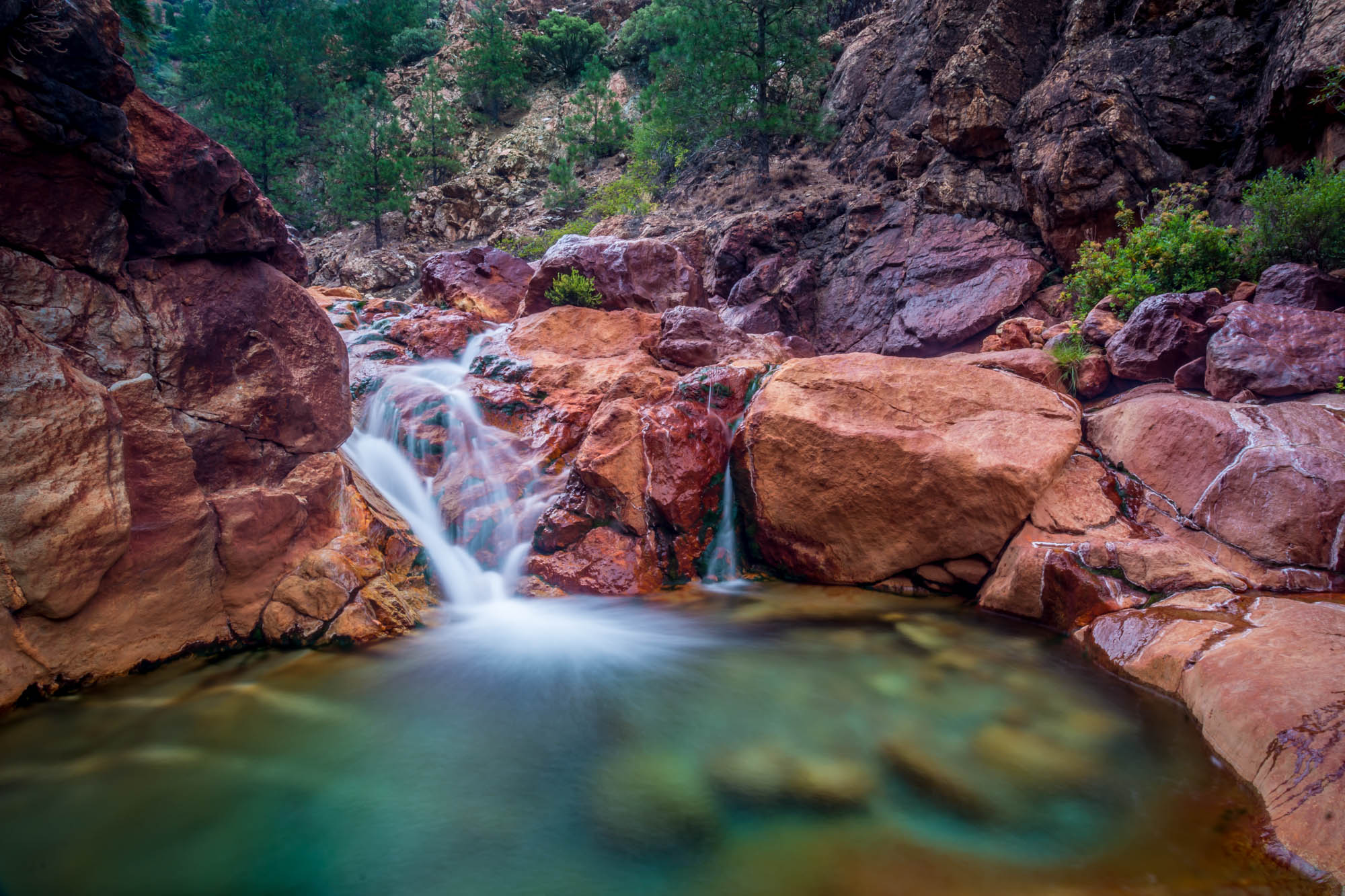
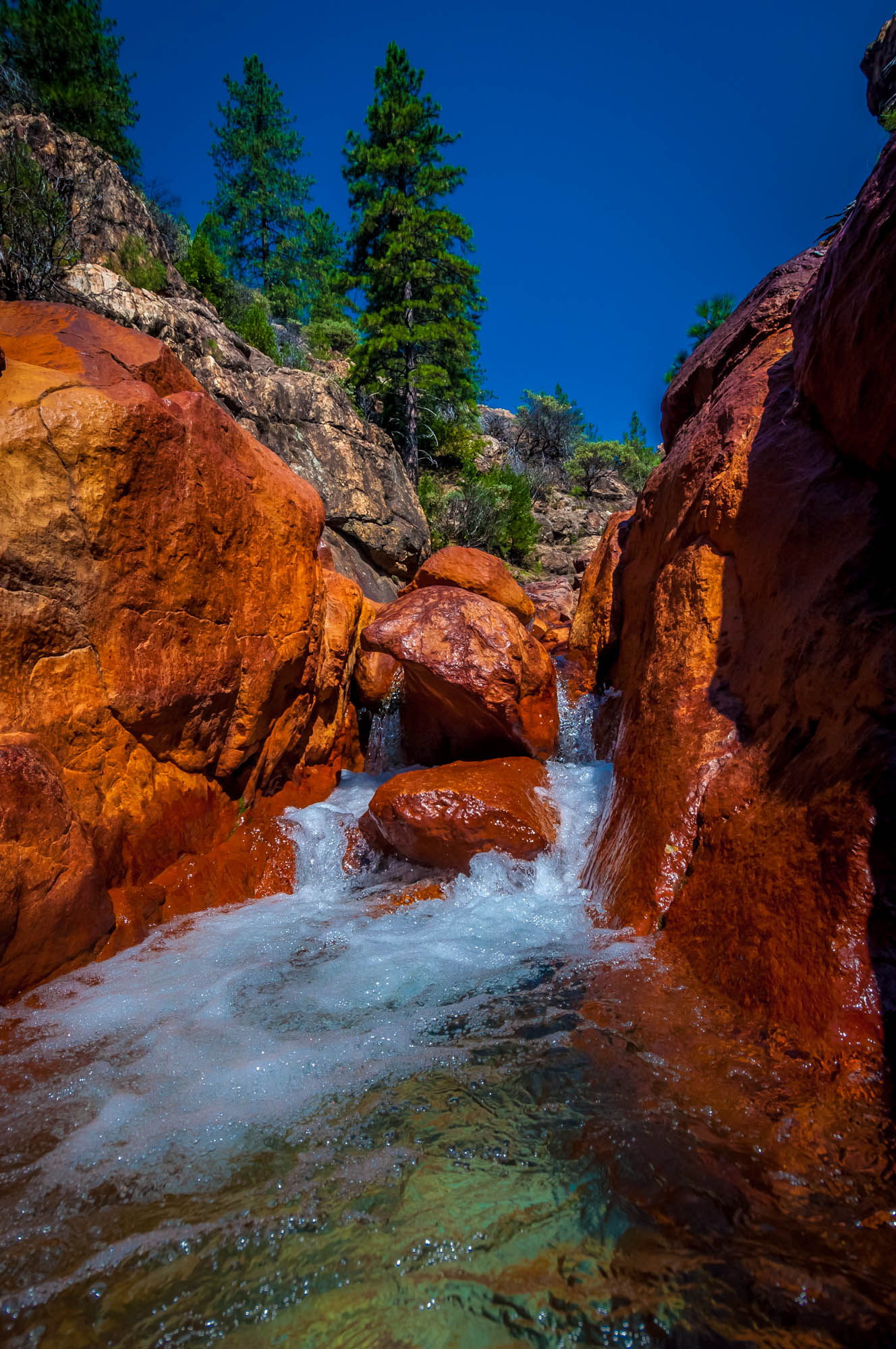
Little Backbone Creek, Shasta Lake, CA, USA
Topographic Map of Wandsworth Dr, Shasta Lake, CA, USA
Find elevation by address:

Places near Wandsworth Dr, Shasta Lake, CA, USA:
2495 Impression Way
3145 Butterfly Ln
Oasis Fun Center
2490 Cana Dr
Cascade Boulevard
3818 Craftsman Ave
Pine Grove
3833 Arlene Ct
Akrich St, Shasta Lake, CA, USA
Oasis Road
Oasis
4599 Fort Peck St
4599 Fort Peck St
1820 Deer Creek Rd
Twin View Boulevard
Shasta Lake
530 Cannabis
Sierra Pacific Industries
6129 Lucca Trail
Lake Blvd, Redding, CA, USA
Recent Searches:
- Elevation of 15th Ave SE, St. Petersburg, FL, USA
- Elevation of Beall Road, Beall Rd, Florida, USA
- Elevation of Leguwa, Nepal
- Elevation of County Rd, Enterprise, AL, USA
- Elevation of Kolchuginsky District, Vladimir Oblast, Russia
- Elevation of Shustino, Vladimir Oblast, Russia
- Elevation of Lampiasi St, Sarasota, FL, USA
- Elevation of Elwyn Dr, Roanoke Rapids, NC, USA
- Elevation of Congressional Dr, Stevensville, MD, USA
- Elevation of Bellview Rd, McLean, VA, USA