Elevation of Cana Dr, Shasta Lake, CA, USA
Location: United States > California > Shasta County > Shasta Lake >
Longitude: -122.37827
Latitude: 40.666565
Elevation: 222m / 728feet
Barometric Pressure: 99KPa
Elevation Map:
Satellite Map:
Related Photos:

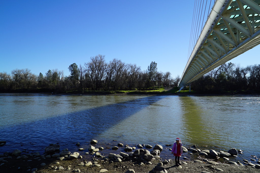
Sundial Bridge at Turtle Bay (II)

Sundial Bridge at Turtle Bay
Heaven Came Down

Sundial in Blue

Bald Eagle with Fish in Talons - This is "Liberty", the female of the nesting pair at Turtle Bay, Redding, California

View from the overflow. Who'd have though you wouldn't be able to find a seat at an 8.30am service. Love this place!

Redding Train Station UP 9911
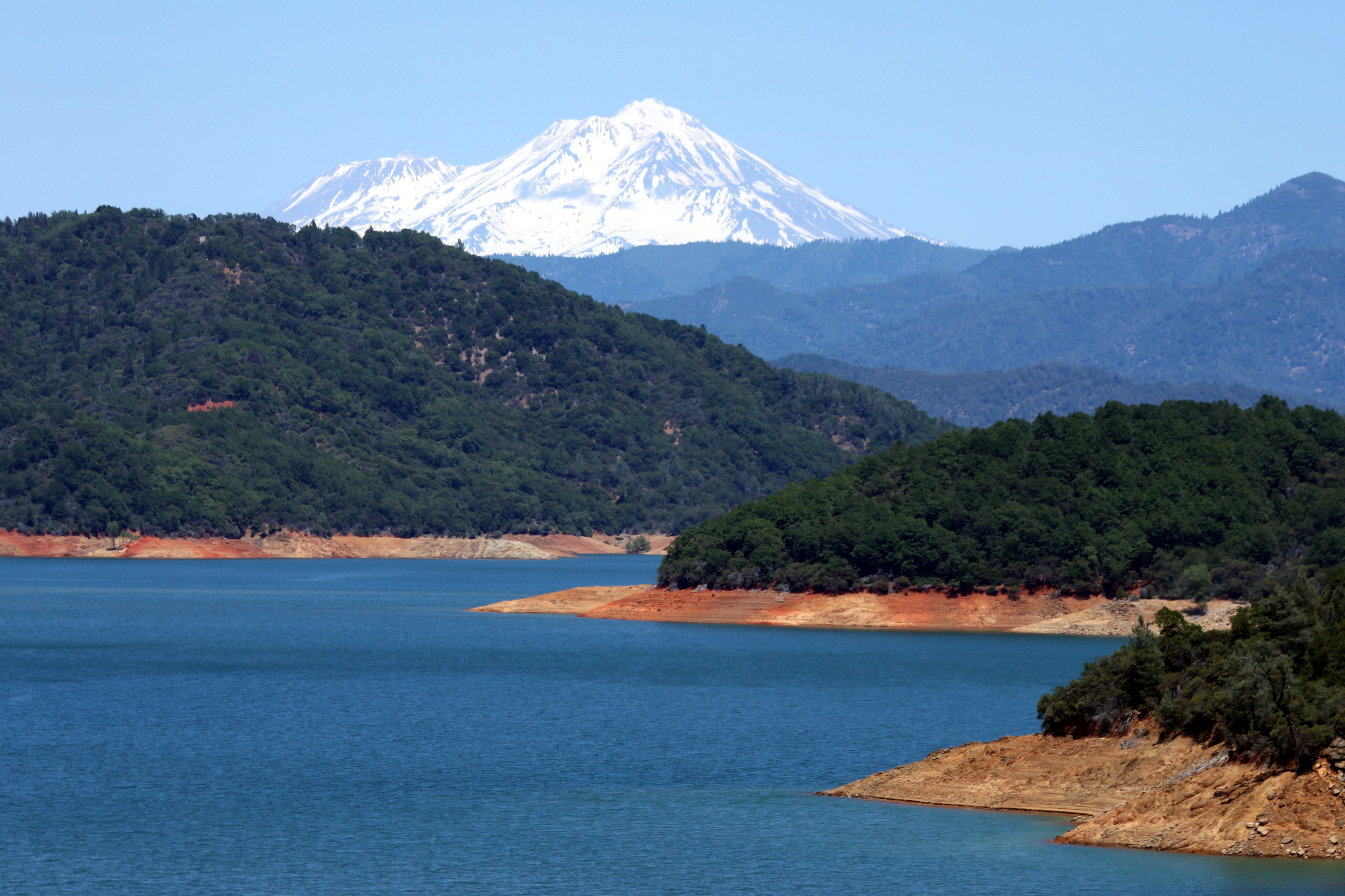
Mount Shasta
Lunch time view.

Mt Lassen on the horizon
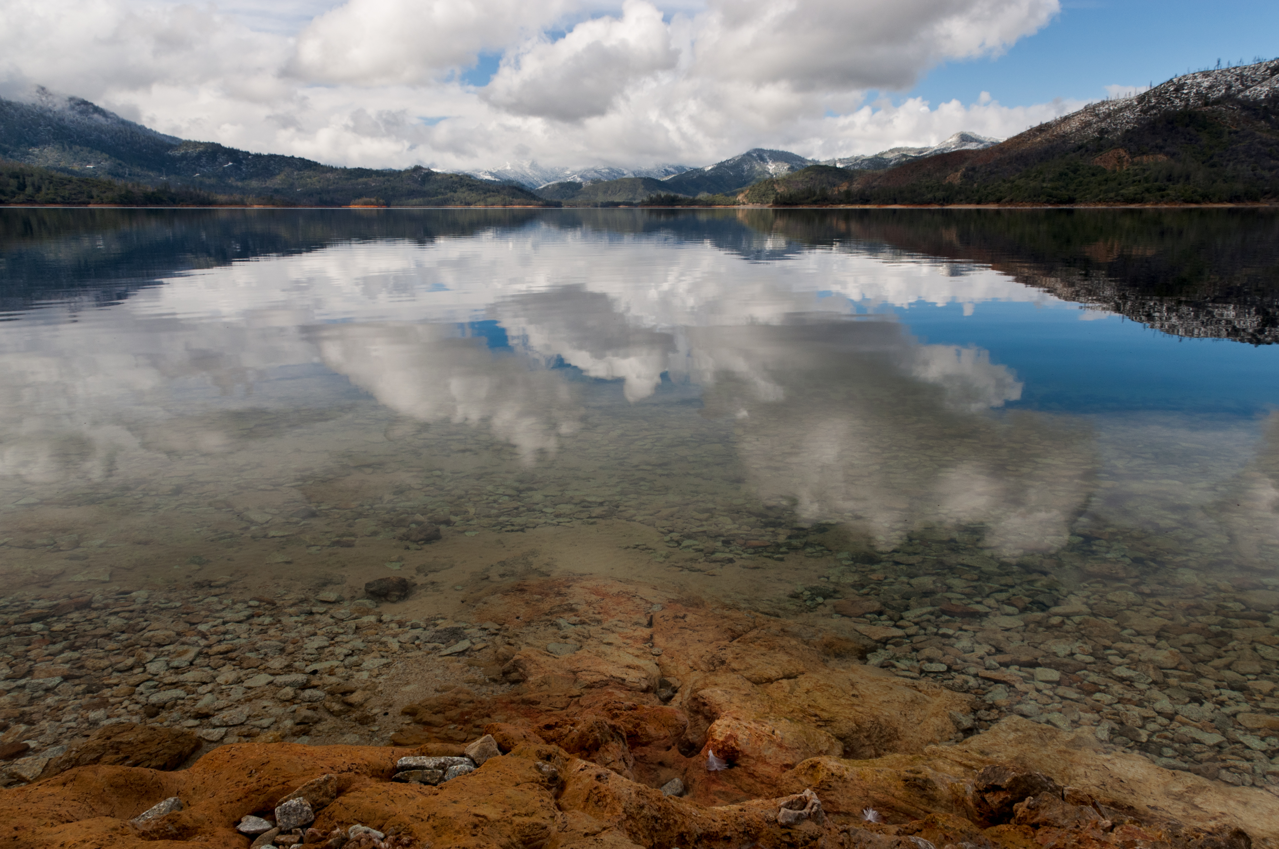
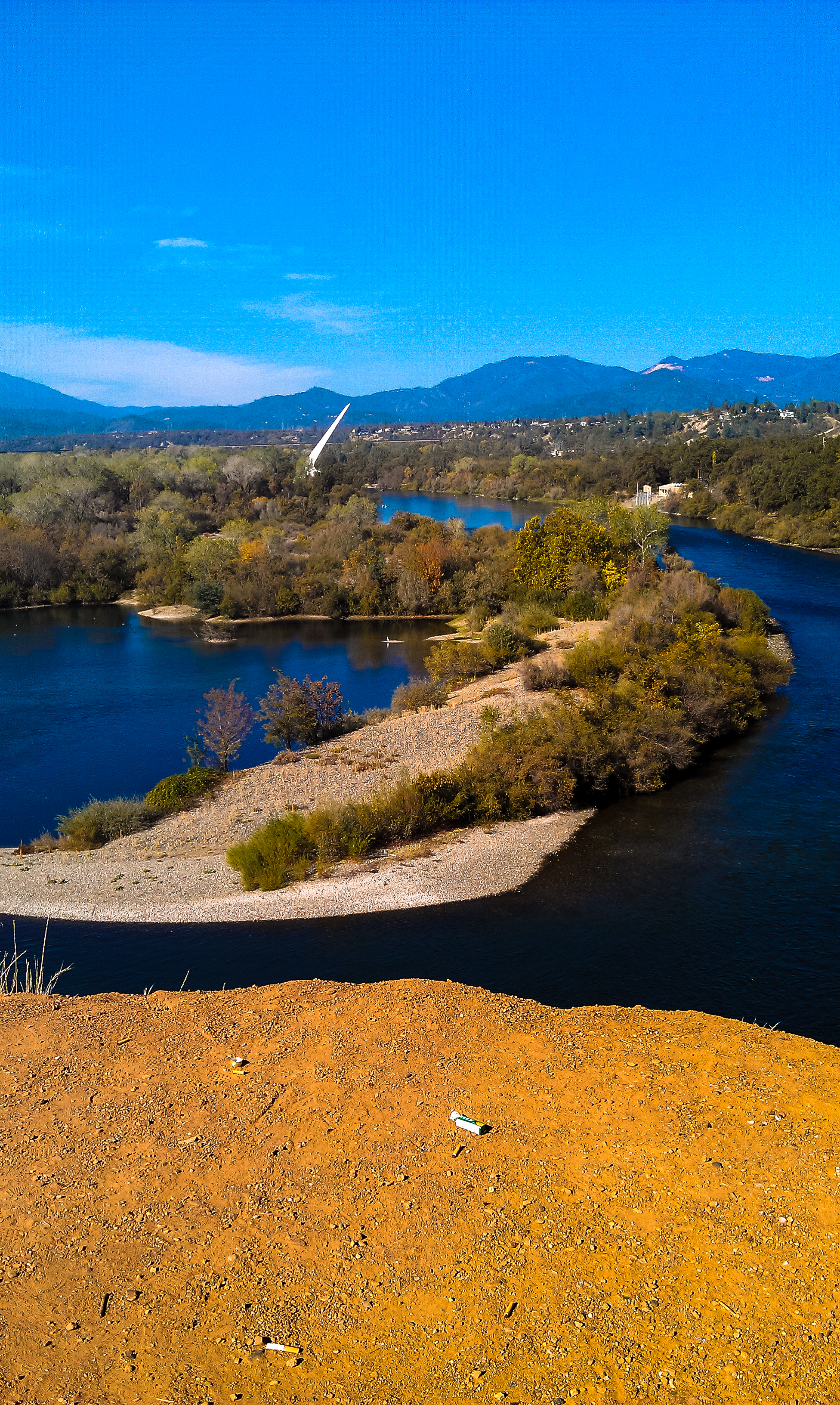
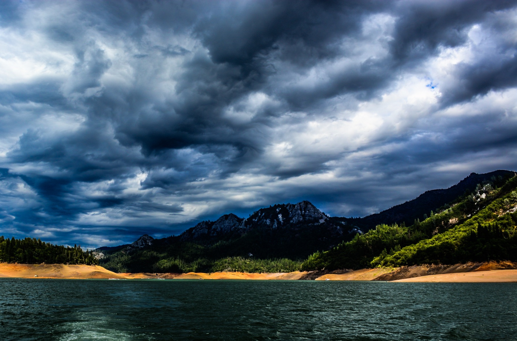
Lake Shasta, California, USA
Sundial Bridge in September

Sundial Bridge Lightning, The Sundial Bridge, Redding, CA

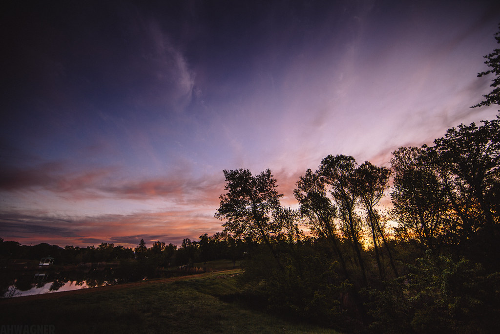
Sunset over Sacramento River
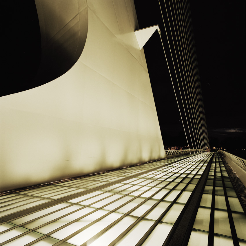
Sundial Bridge, Redding

Self Portrait - 3
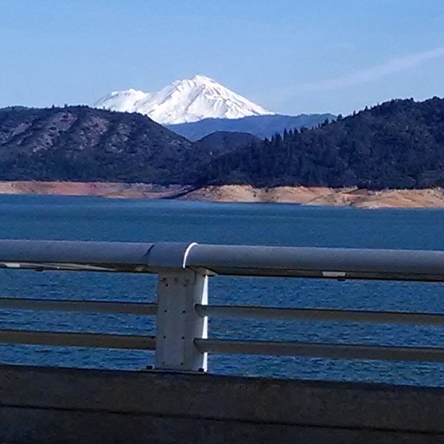
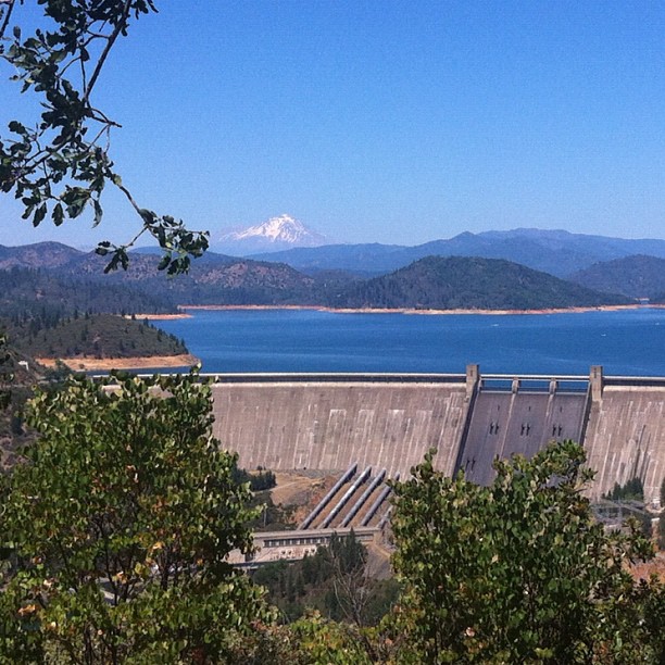
A beautiful view of Mt. Shasta from Shasta Dam.

Self Portrait - 2

Calatrava's Sundial Bridge, Redding, California

Redding, CASD59MX-UP 9900

Self Portrait - 1
Tears of Solitude
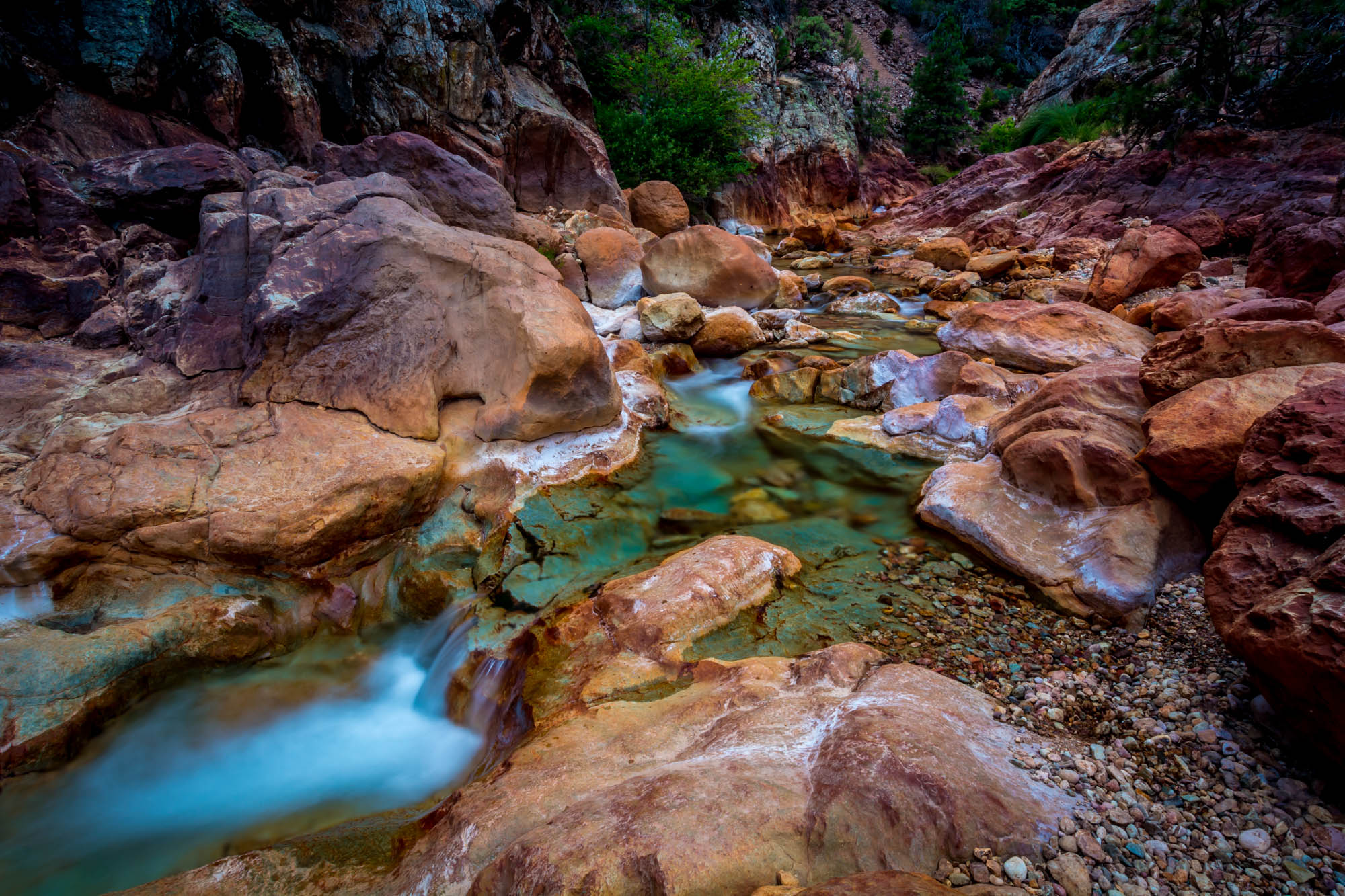
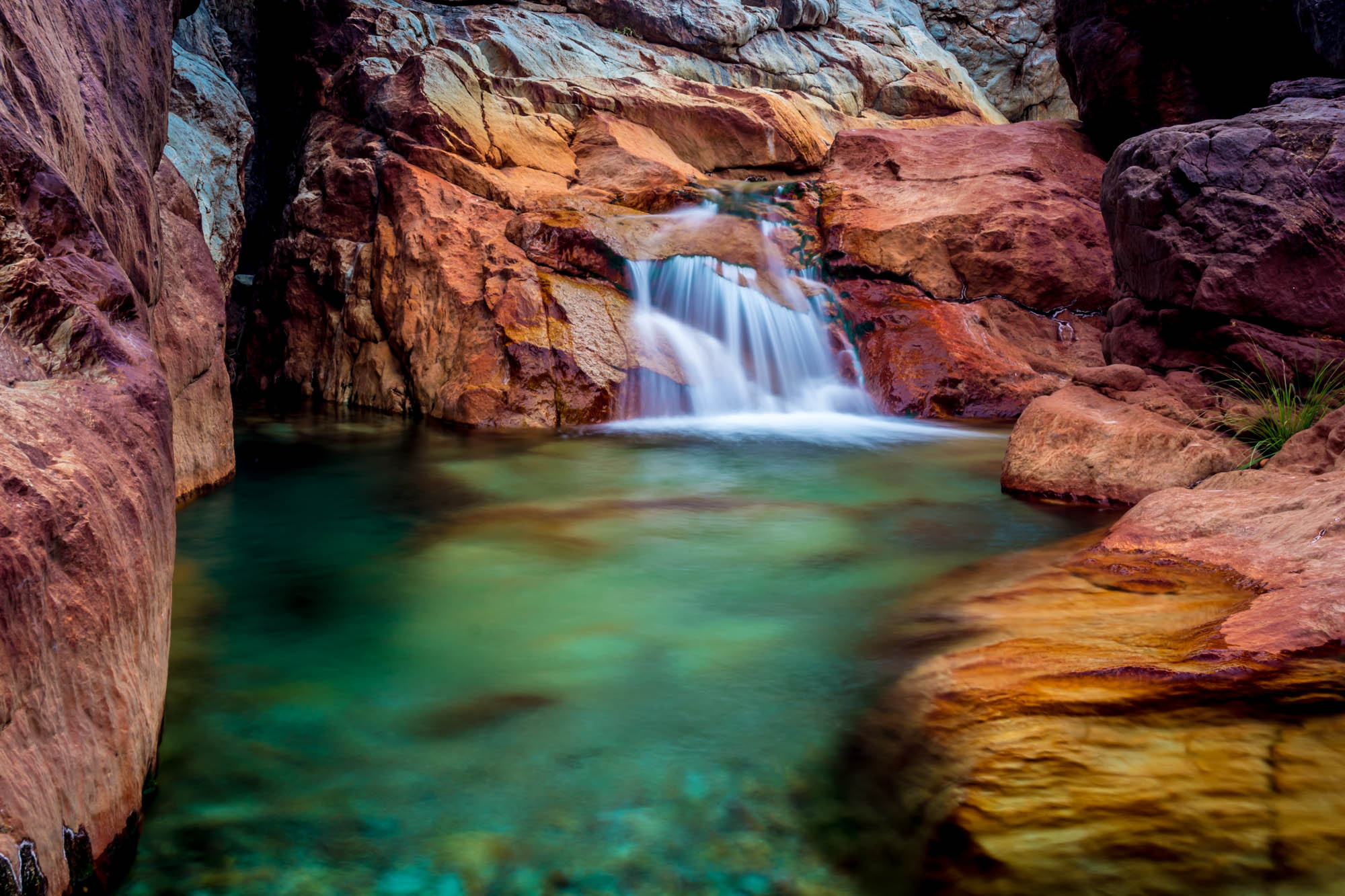
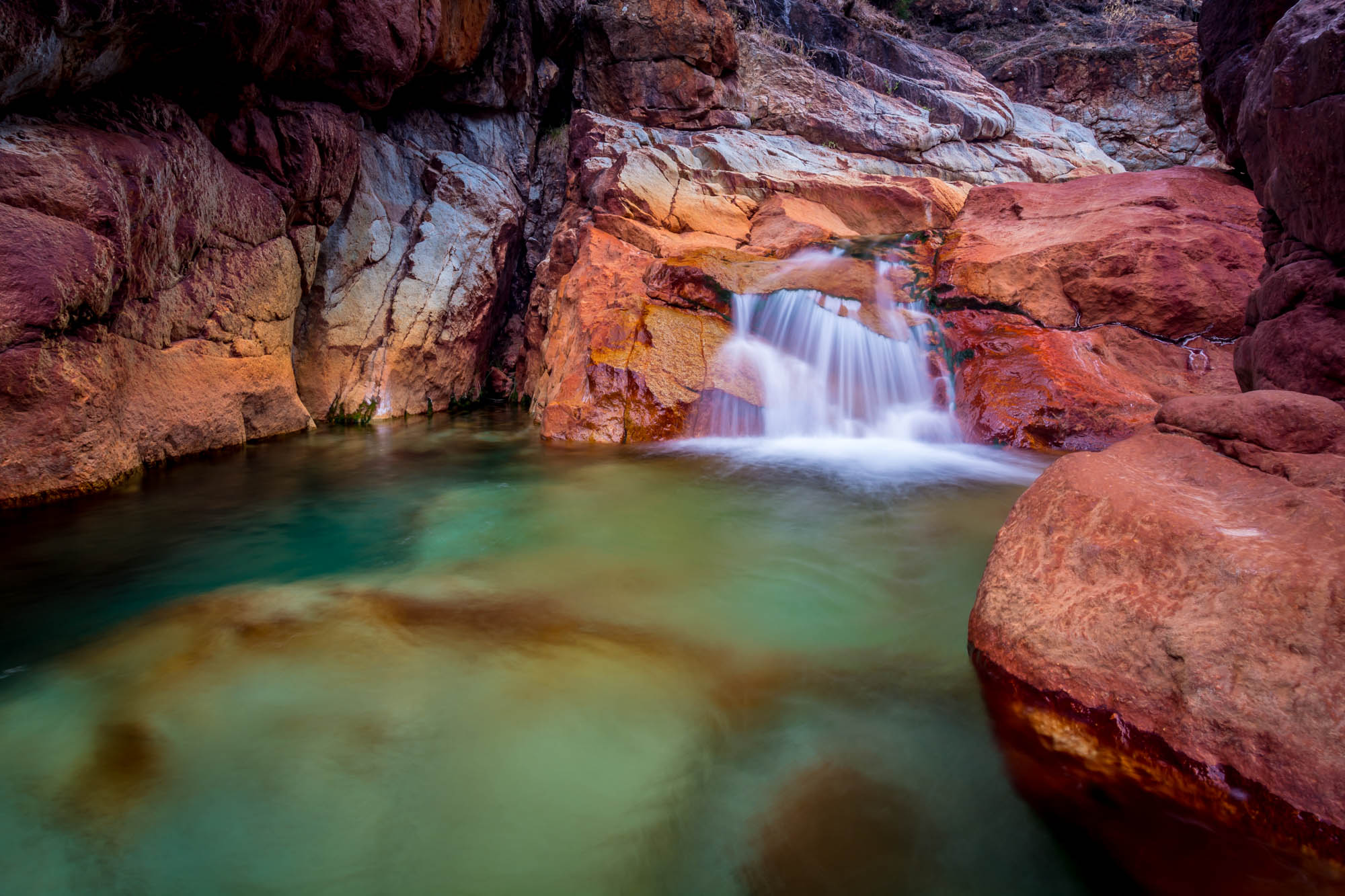
Valley of Colors - Little Backbone Creek, Shasta Lake, CA, USA
Random photography
Mount Shasta

Sunset at the Sundial Bridge
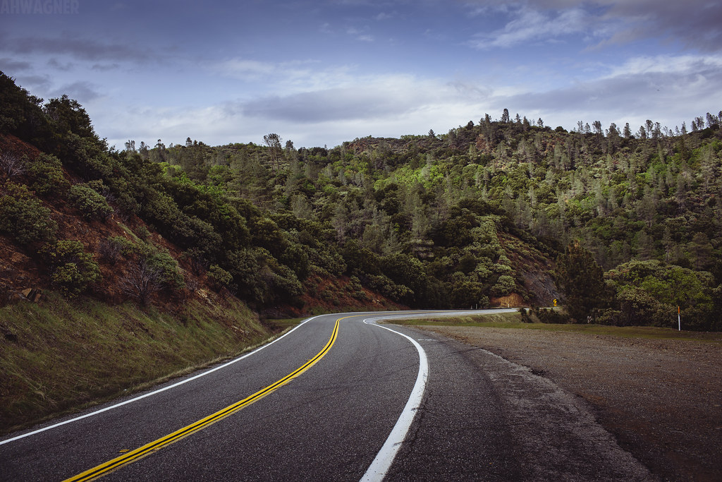
Shasta Dam Boulevard [03.28.13]
Sunrise at Simpson [03.30.13]

Mount Shasta

Whiskeytown Lake [04.02.13]
Crystal Clear - Shasta National Forest, CA, USA

Whiskeytown Lake, California, USA

Whiskeytown Lake Sunset [04.02.13]
Mary Lake - Redding, CA
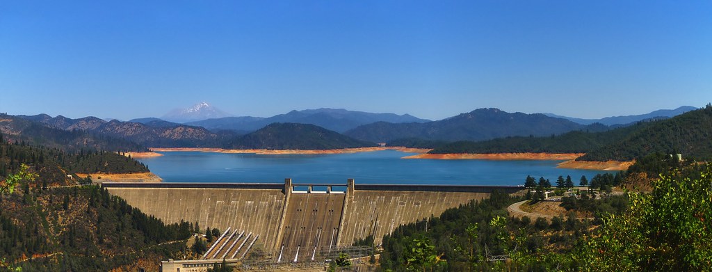
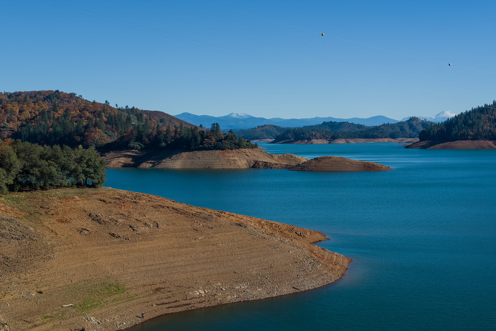
Shasta Dam and Lake

Lake Sentinel

Trees being trees
Turtle Bay
Topographic Map of Cana Dr, Shasta Lake, CA, USA
Find elevation by address:

Places near Cana Dr, Shasta Lake, CA, USA:
3818 Craftsman Ave
3833 Arlene Ct
Sierra Pacific Industries
3104 Wandsworth Dr
2495 Impression Way
Shasta Lake
3145 Butterfly Ln
530 Cannabis
4599 Fort Peck St
4599 Fort Peck St
1820 Deer Creek Rd
Oasis Fun Center
Cascade Boulevard
17764 Yellow Pine Ave
12538 Lake Blvd
Pine Grove
Akrich St, Shasta Lake, CA, USA
Oasis Road
Lake Blvd, Redding, CA, USA
Oasis
Recent Searches:
- Elevation of 15th Ave SE, St. Petersburg, FL, USA
- Elevation of Beall Road, Beall Rd, Florida, USA
- Elevation of Leguwa, Nepal
- Elevation of County Rd, Enterprise, AL, USA
- Elevation of Kolchuginsky District, Vladimir Oblast, Russia
- Elevation of Shustino, Vladimir Oblast, Russia
- Elevation of Lampiasi St, Sarasota, FL, USA
- Elevation of Elwyn Dr, Roanoke Rapids, NC, USA
- Elevation of Congressional Dr, Stevensville, MD, USA
- Elevation of Bellview Rd, McLean, VA, USA