Elevation of Walton St, Thomaston, GA, USA
Location: United States > Georgia > Upson County > Thomaston >
Longitude: -84.330394
Latitude: 32.8679713
Elevation: 215m / 705feet
Barometric Pressure: 99KPa
Elevation Map:
Satellite Map:
Related Photos:

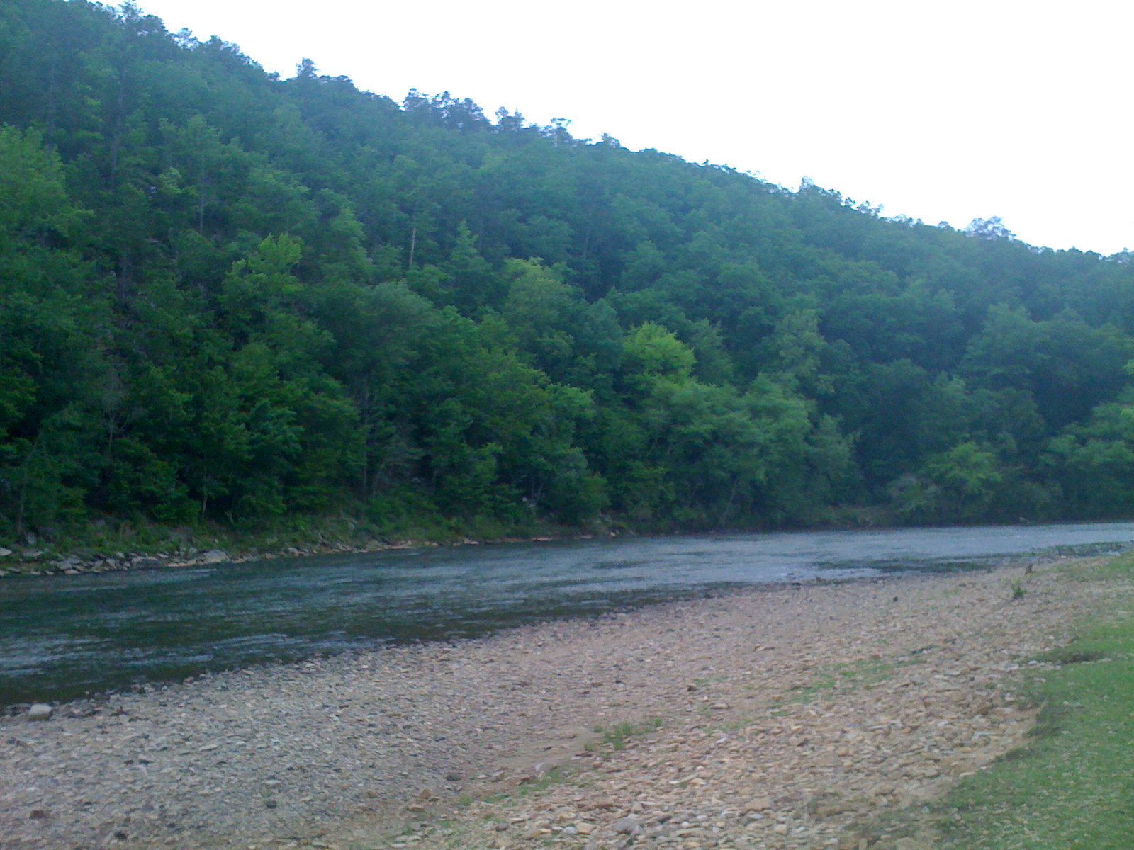
flint river

flint river
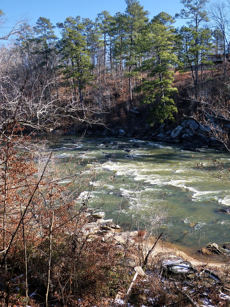
flint river
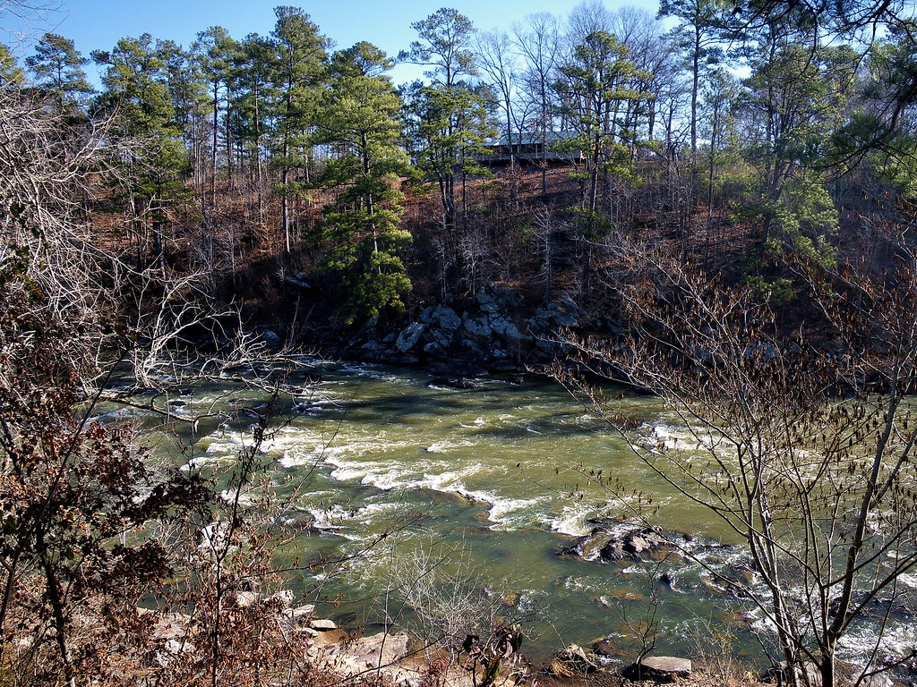
flint river
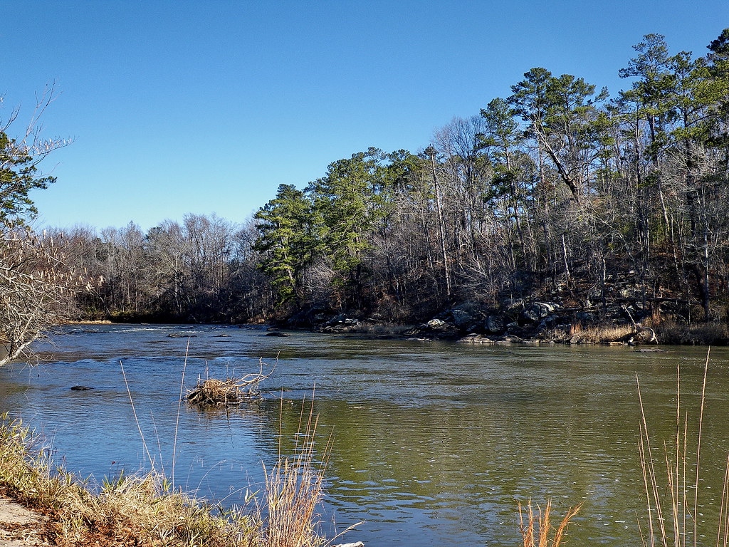
flint river

3:35 PM : November 11 2015
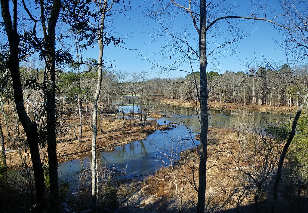
flint river

flint river

View from Inside the Auchumkee Creek Covered Bridge, near Thomaston. 2005 Bicycle Ride Across Georgia.
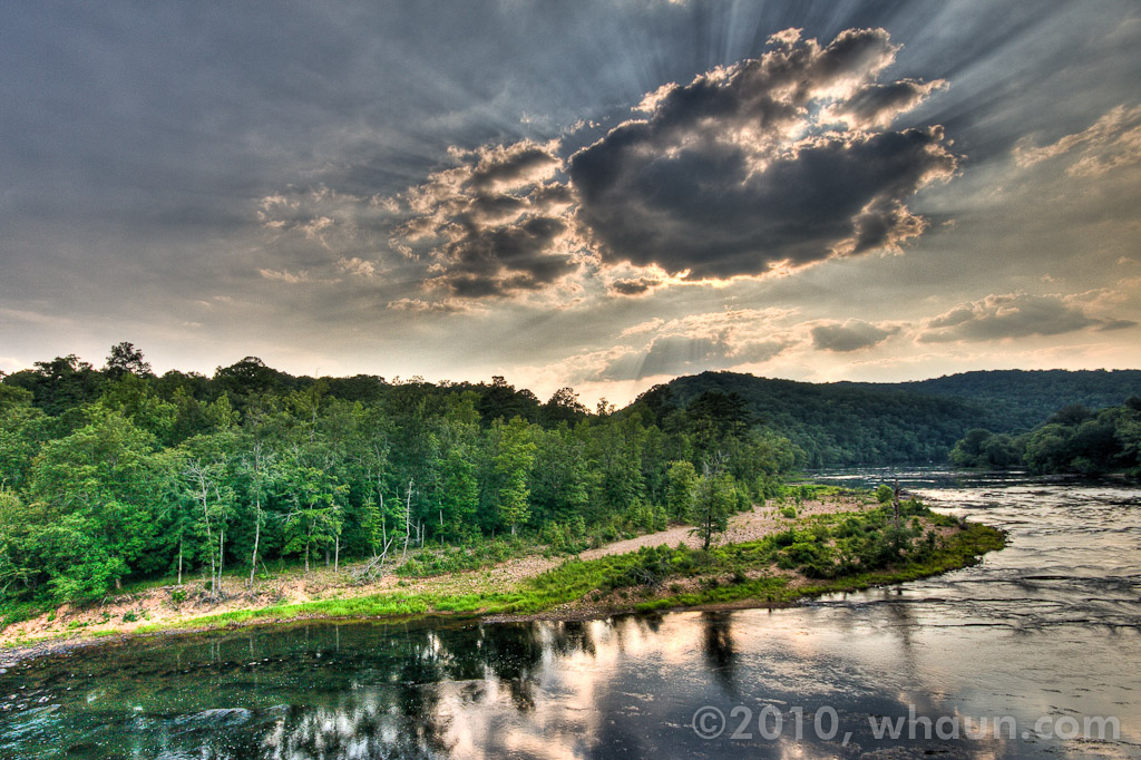
Sprewell Bluff, GA

Jerry Reeves Creek, upstream of Highway 36, U.S.G.S. sample site, Upson County, Georgia 3
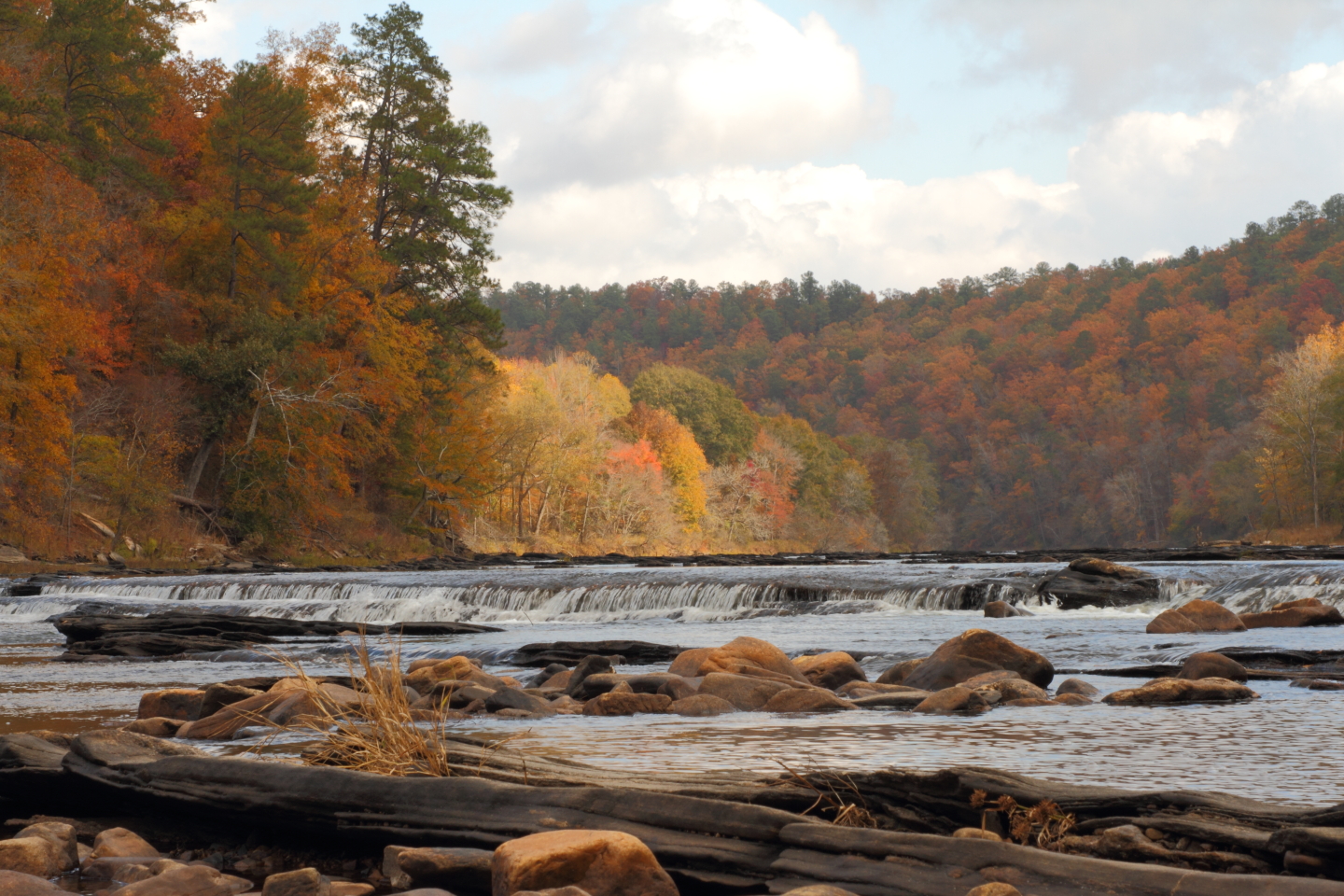
The "Natural Dam" on the Flint River

Sprewell Bluff, GA

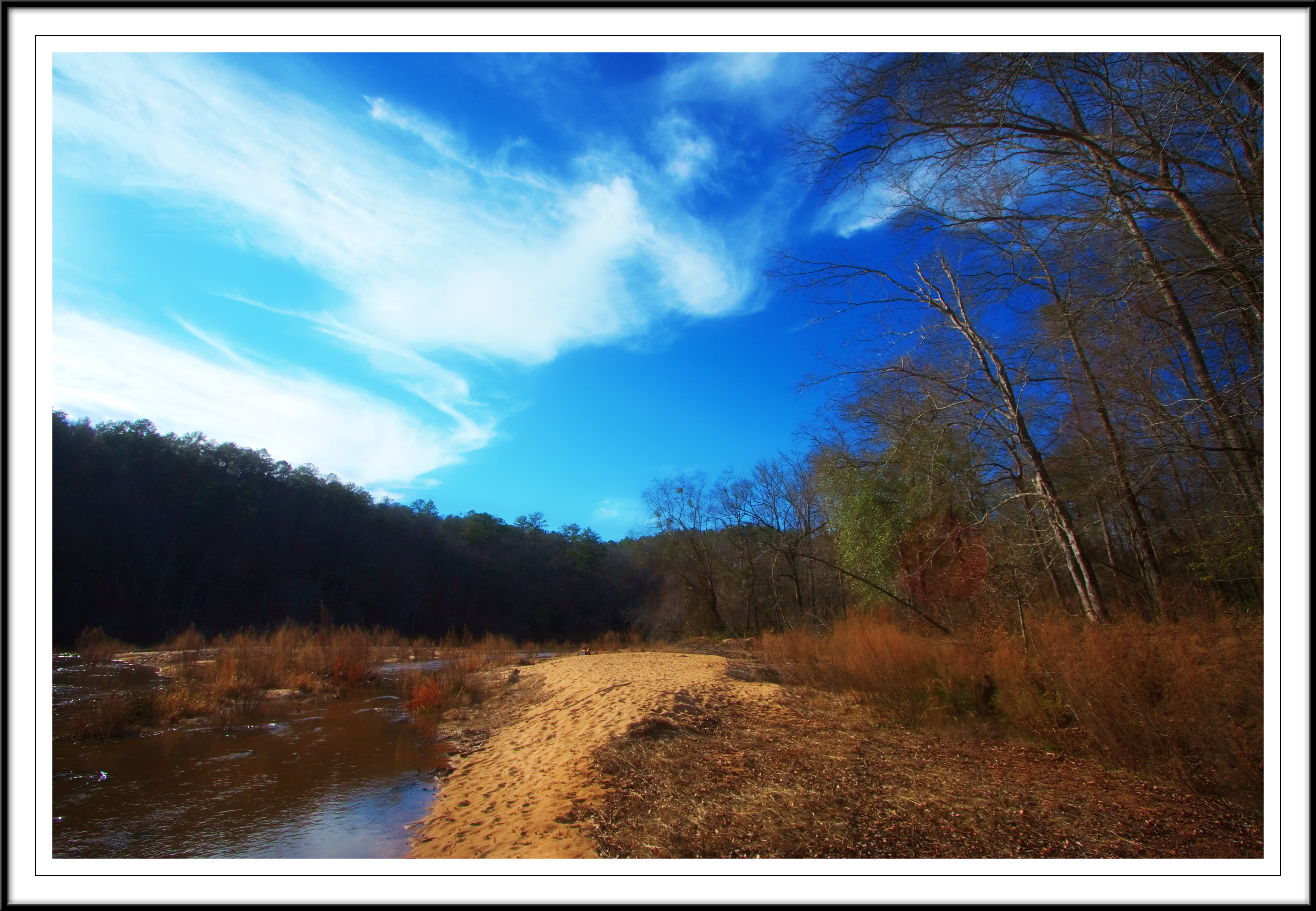
Stump by a beach
Flint River at Sprewell Bluff

Sprewell Bluff
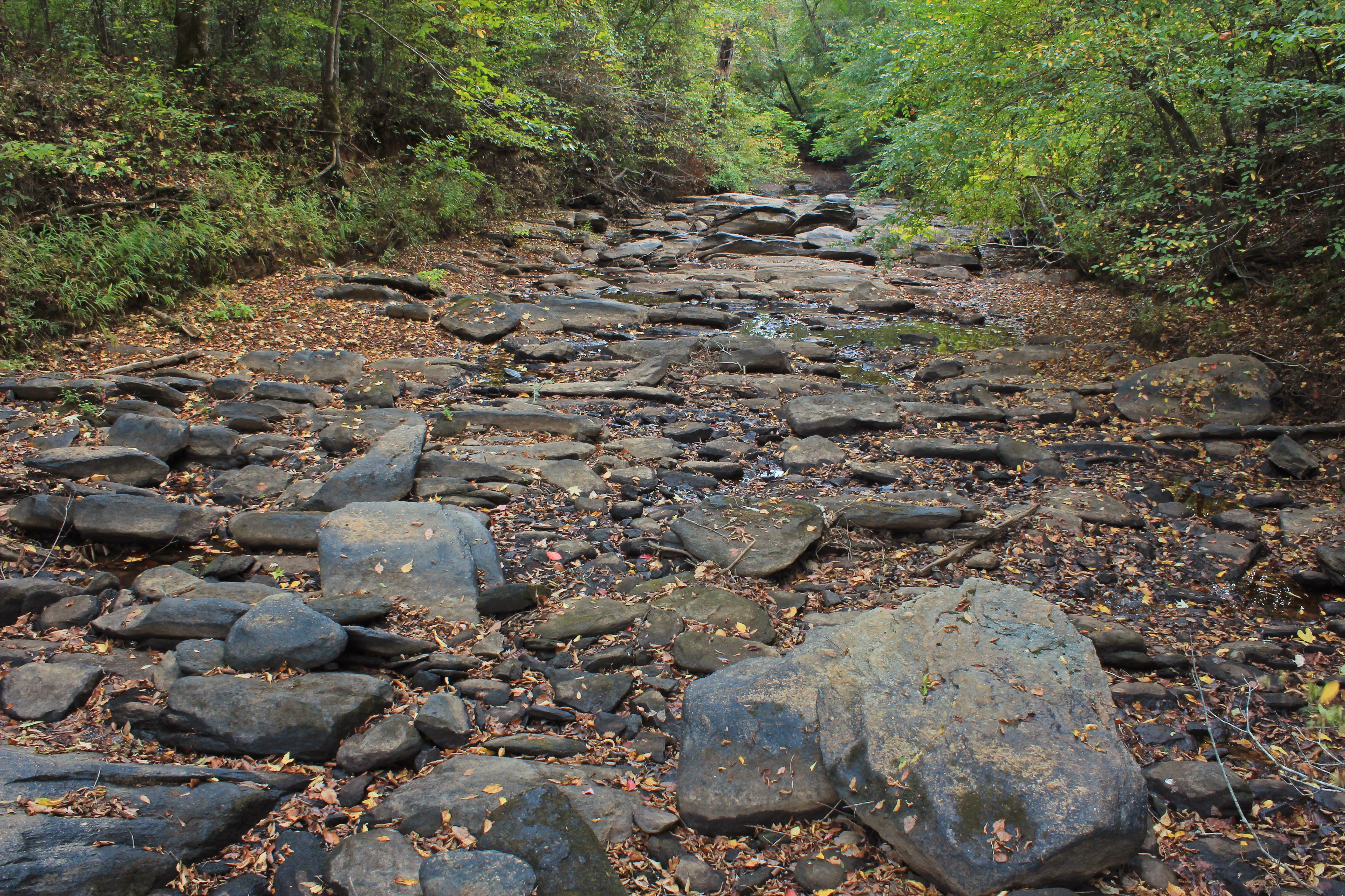
Auchumpkee Creek, below Auchumpkee Creek Covered Bridge, Upson County, Georgia 1
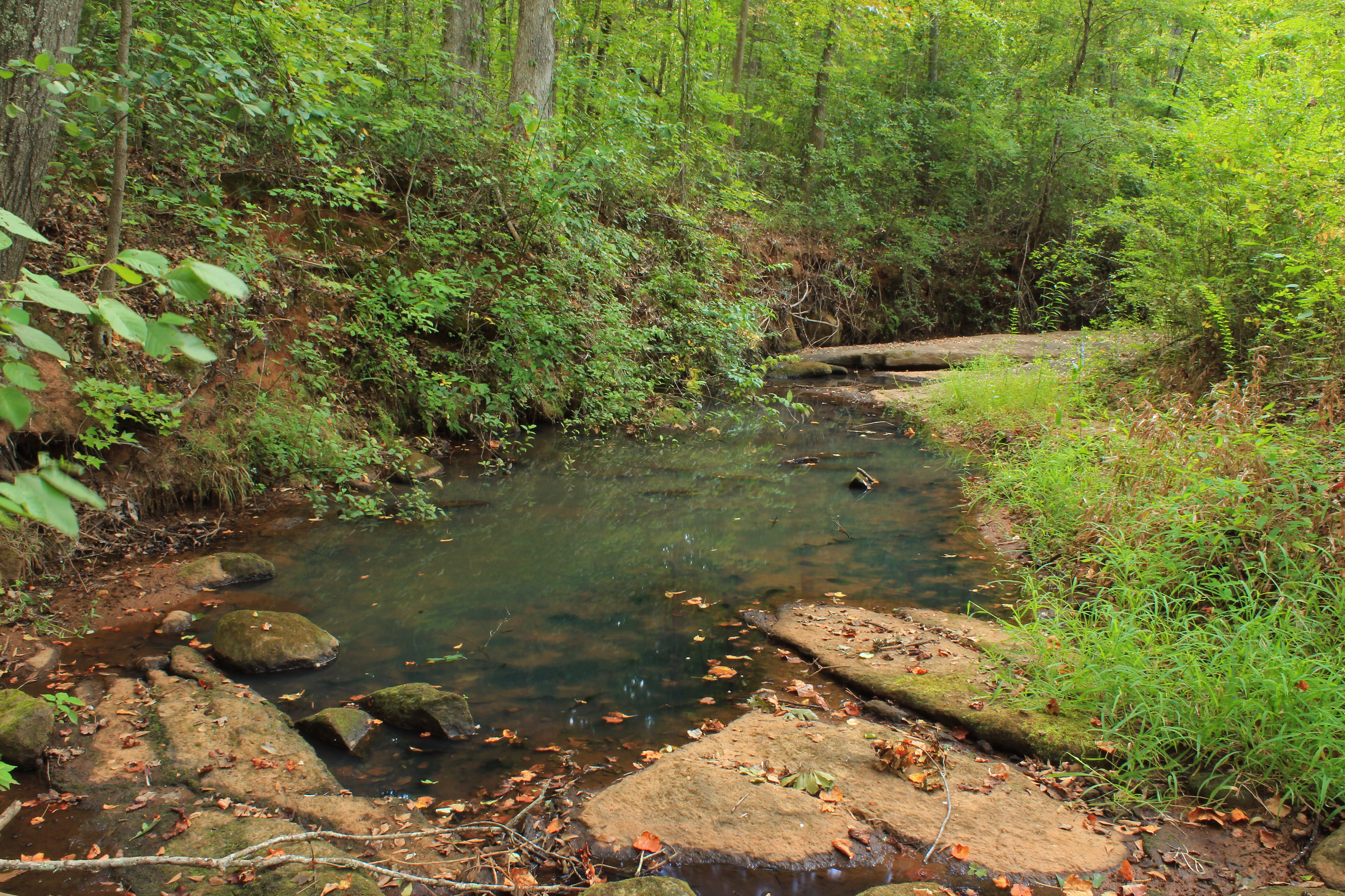
Rose Creek, unit 2, U.S.G.S. sample site, Upson County, Georgia 4
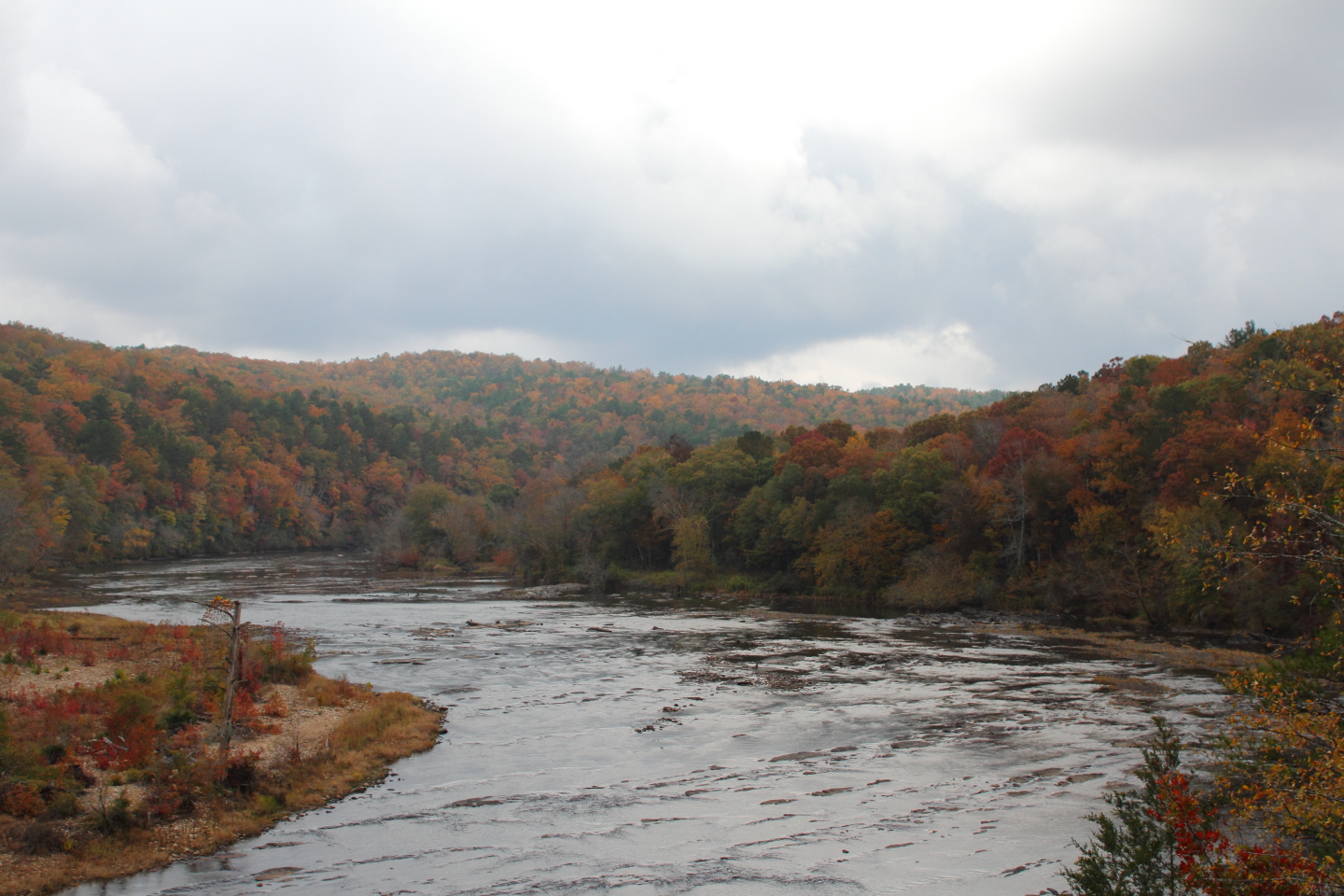
Sprewell Bluff observation deck on Flint River
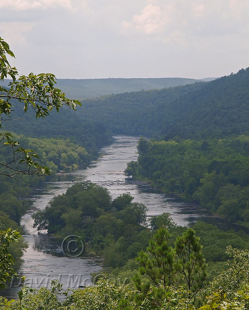
Flint River Sprewell Bluff

Camera Roll-42

flint river
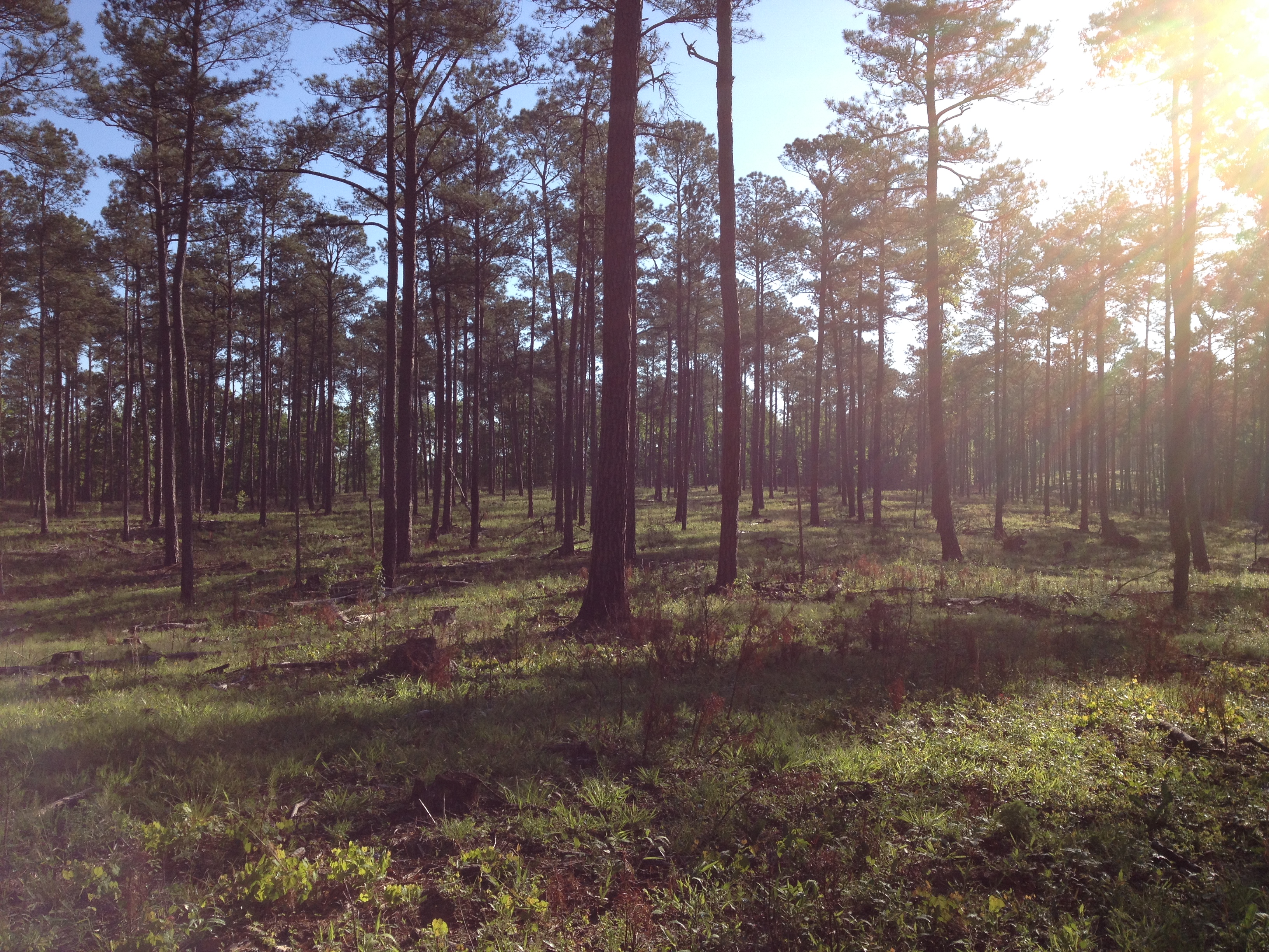
Sprewell Bluff SB04. Selective cut pinewoods, May 2014.
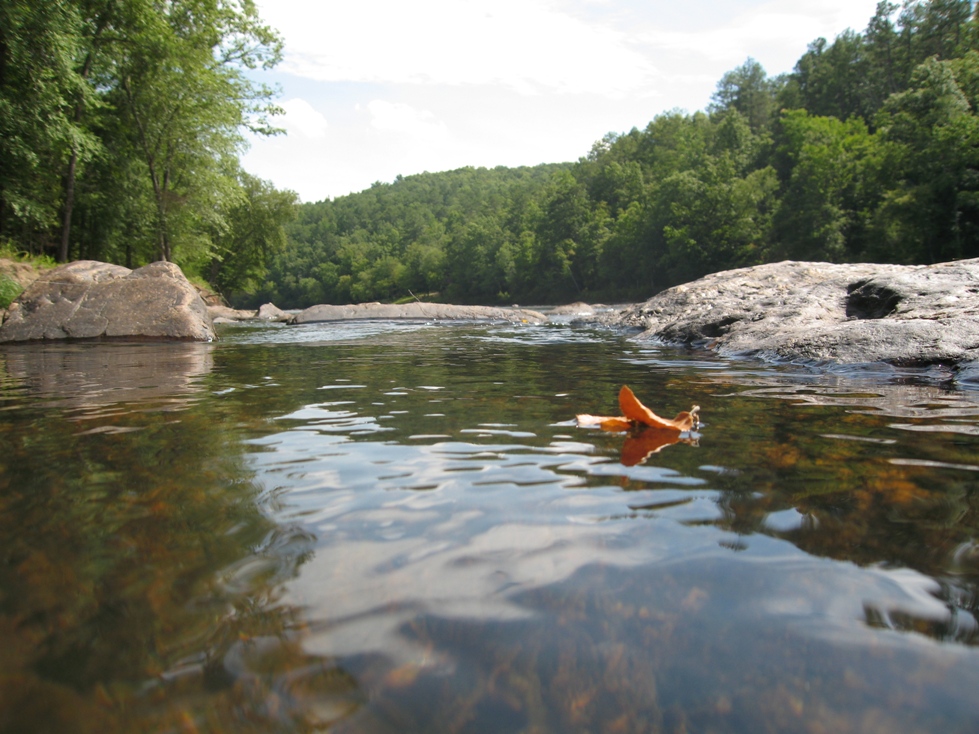
A leaf's journey
Sprewell's Bluff @ Flint River
Topographic Map of Walton St, Thomaston, GA, USA
Find elevation by address:

Places near Walton St, Thomaston, GA, USA:
Georgia 74
Thomaston
Thomaston
Thomaston
Thomaston
Thomaston
Thomaston
Thomaston
Thomaston
Thomaston
Thomaston
Thomaston
Thomaston
Thomaston
Thomaston
Thomaston
Thomaston
Thomaston
Thomaston
Thomaston
Recent Searches:
- Elevation of 24 Oakland Rd #, Scotland, ON N0E 1R0, Canada
- Elevation of Deep Gap Farm Rd E, Mill Spring, NC, USA
- Elevation of Dog Leg Dr, Minden, NV, USA
- Elevation of Dog Leg Dr, Minden, NV, USA
- Elevation of Kambingan Sa Pansol Atbp., Purok 7 Pansol, Candaba, Pampanga, Philippines
- Elevation of Pinewood Dr, New Bern, NC, USA
- Elevation of Mountain View, CA, USA
- Elevation of Foligno, Province of Perugia, Italy
- Elevation of Blauwestad, Netherlands
- Elevation of Bella Terra Blvd, Estero, FL, USA