Elevation of Wall St, Grifton, NC, USA
Location: United States > North Carolina > Pitt County > Grifton > Grifton >
Longitude: -77.426666
Latitude: 35.373161
Elevation: 10m / 33feet
Barometric Pressure: 101KPa
Elevation Map:
Satellite Map:
Related Photos:

The Doorway
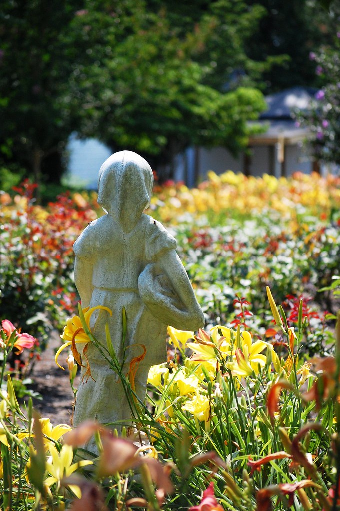
view to a garden
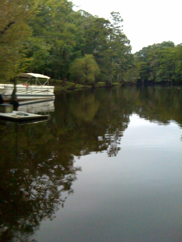
Neuse River Expedition Finished
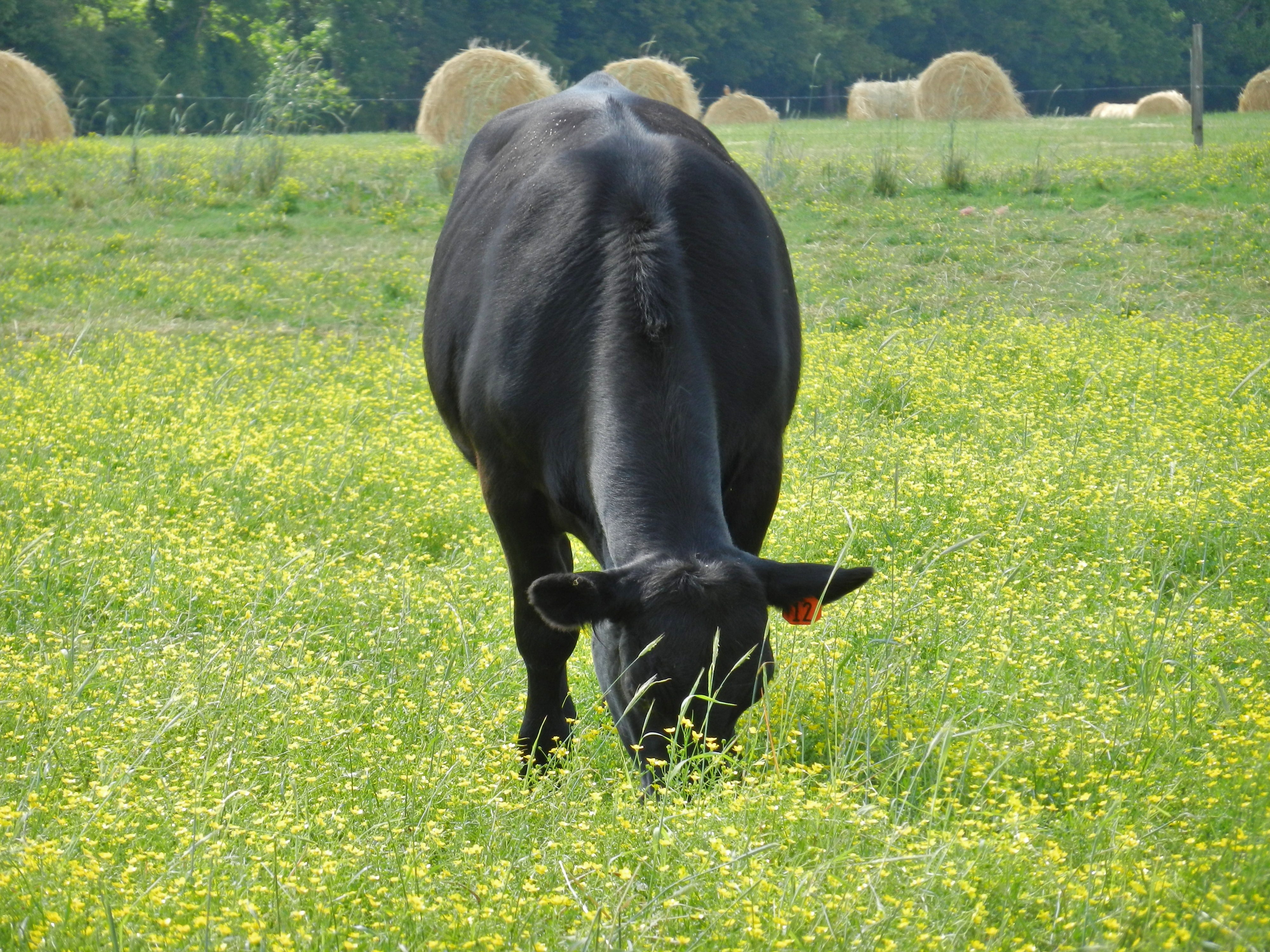
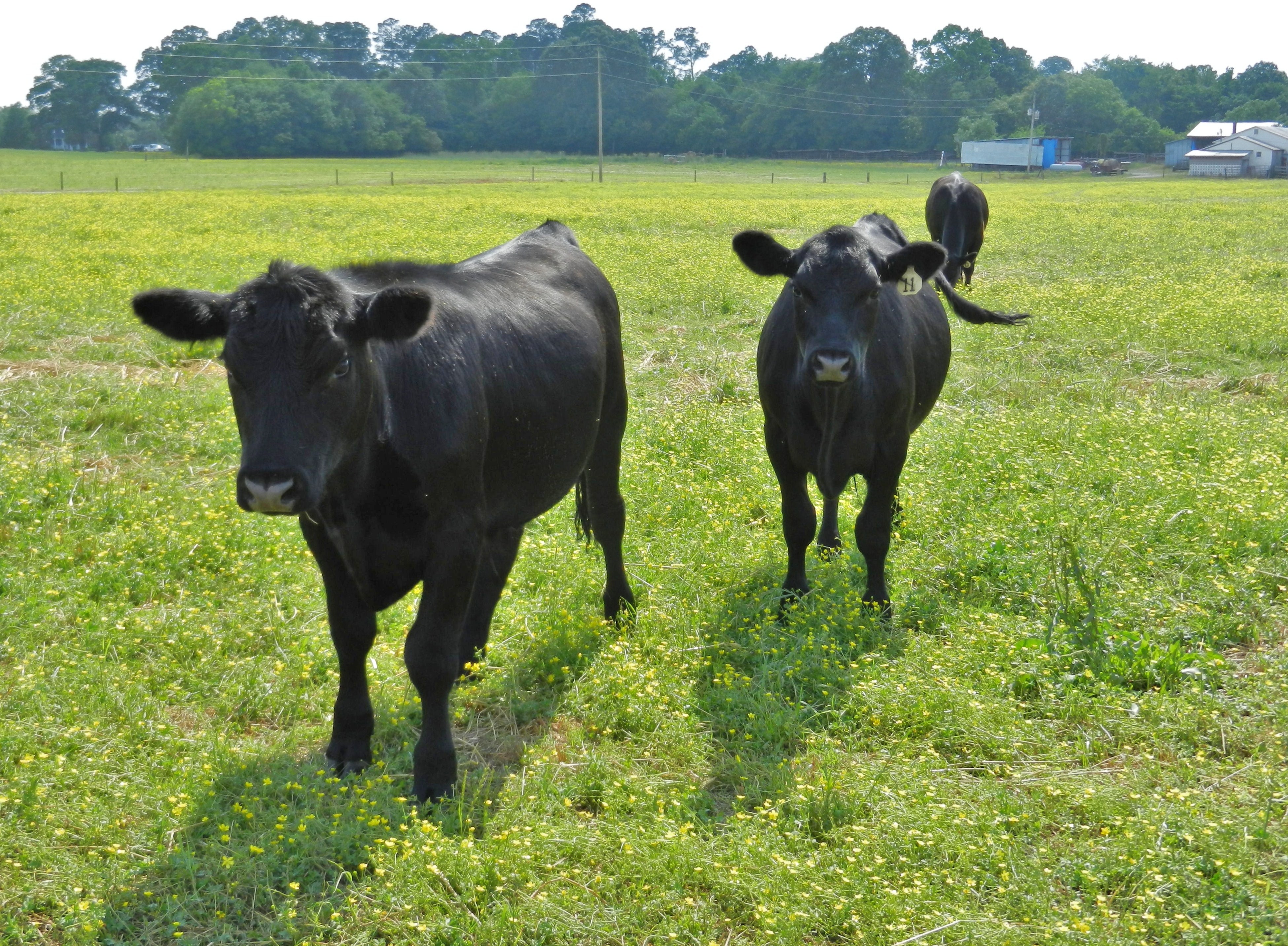
Angus Cow
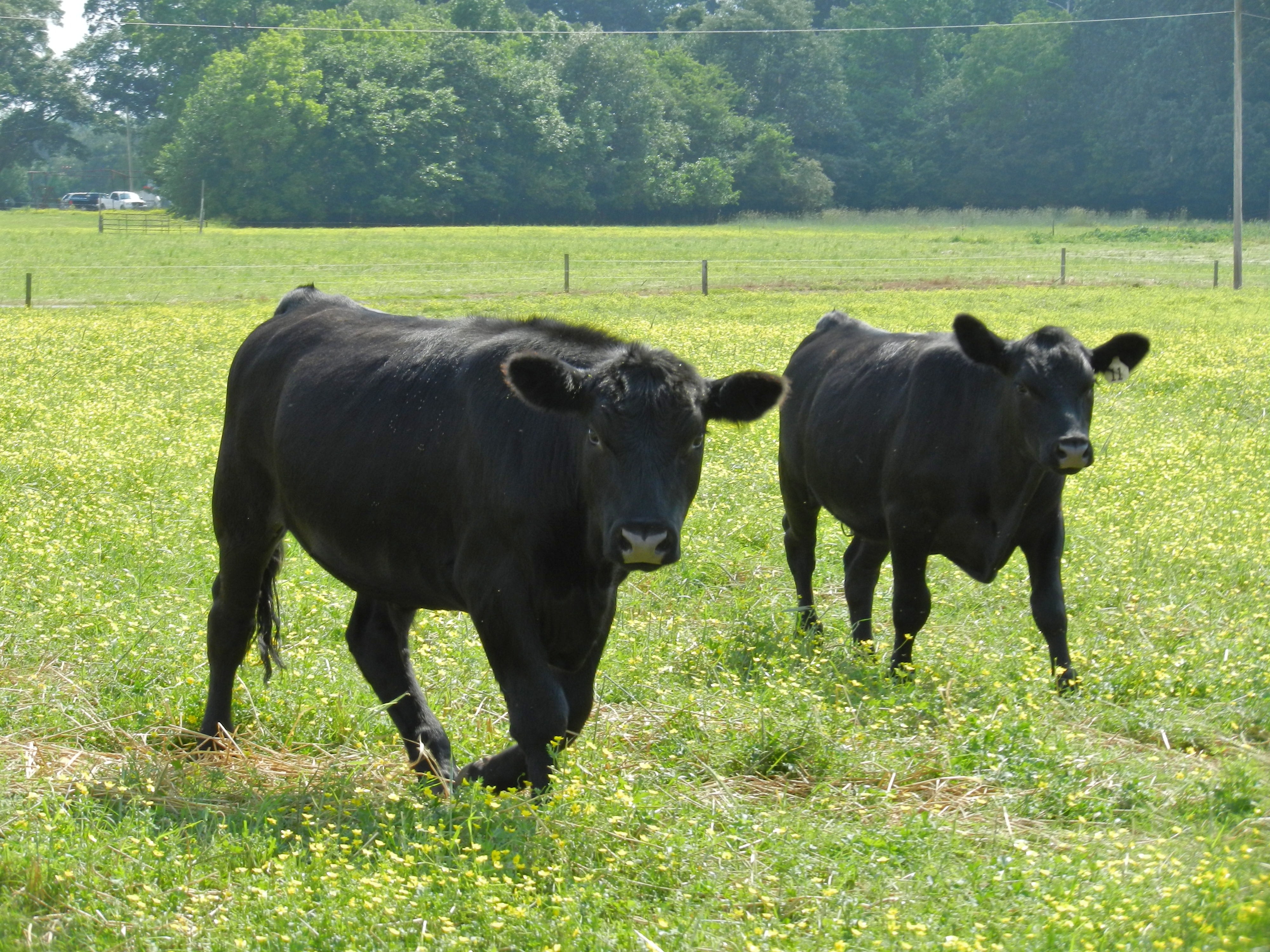
Angus Cattle
Angus Cattle
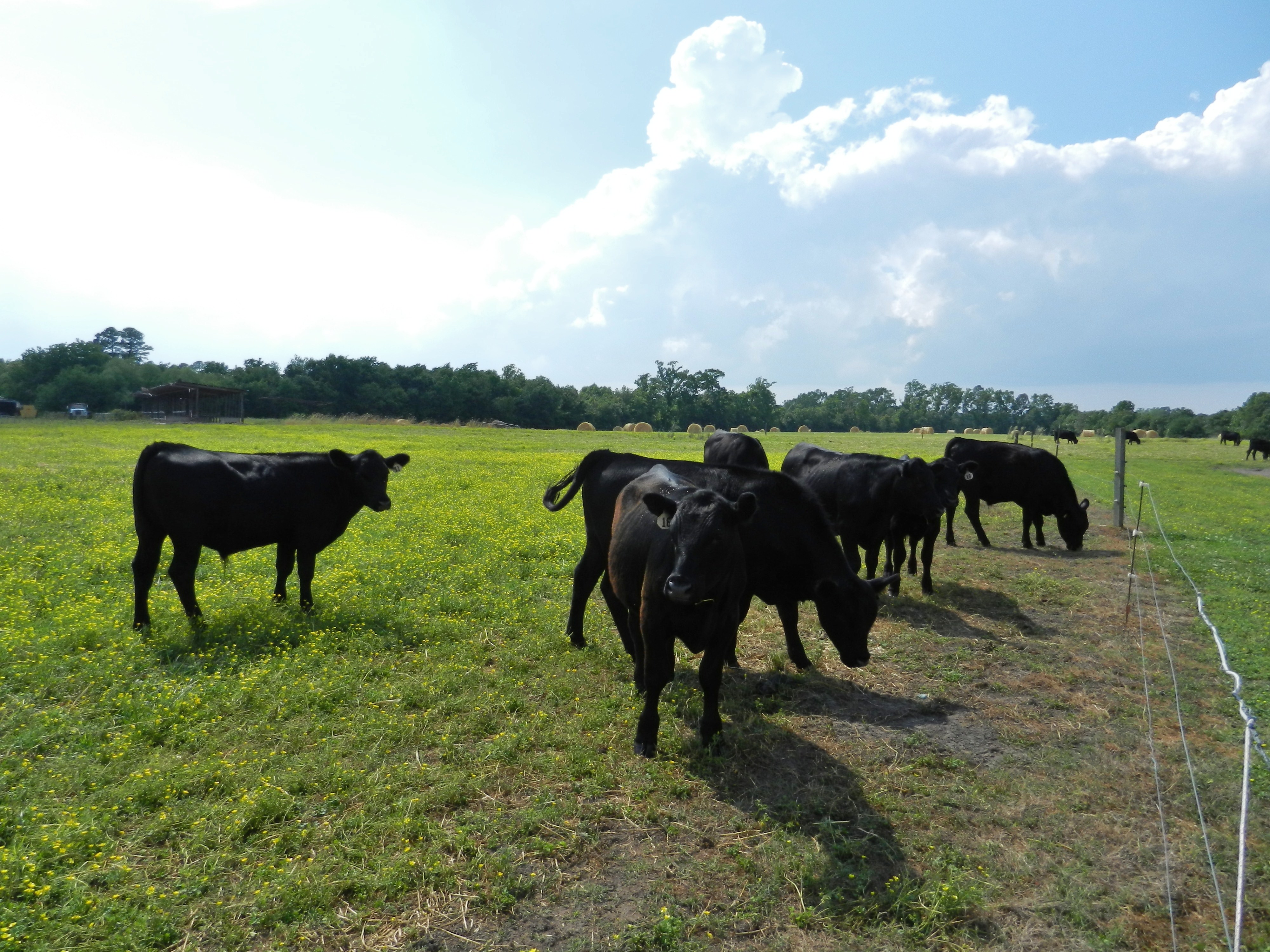
Angus Cattle
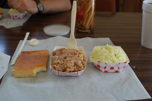
Skylight Inn, Ayden, NC: The Product, 2006

Face of the Grim Reaper
Stopped for a coffee & snack.
Topographic Map of Wall St, Grifton, NC, USA
Find elevation by address:

Places near Wall St, Grifton, NC, USA:
Water Street
Grifton
453 Queen St
6521 Fairway Dr
6352 Fairway Dr
5068 Tick Bite Rd
5152 Tick Bite Rd
Tick Bite
Tick Bite
4874 Tick Bite Rd
3854 Saw Mill Rd
6152 Marvin Taylor Rd
3373 Saw Mill Rd
3373 Saw Mill Rd
Grifton
Contentnea Neck
1044 Jacksontown Rd
Hugo Rd, Grifton, NC, USA
Allen Dr, Ayden, NC, USA
Ayden
Recent Searches:
- Elevation of Woodland Oak Pl, Thousand Oaks, CA, USA
- Elevation of Brownsdale Rd, Renfrew, PA, USA
- Elevation of Corcoran Ln, Suffolk, VA, USA
- Elevation of Mamala II, Sariaya, Quezon, Philippines
- Elevation of Sarangdanda, Nepal
- Elevation of 7 Waterfall Way, Tomball, TX, USA
- Elevation of SW 57th Ave, Portland, OR, USA
- Elevation of Crocker Dr, Vacaville, CA, USA
- Elevation of Pu Ngaol Community Meeting Hall, HWHM+3X7, Krong Saen Monourom, Cambodia
- Elevation of Royal Ontario Museum, Queens Park, Toronto, ON M5S 2C6, Canada