Elevation of Fairway Dr, Grifton, NC, USA
Location: United States > North Carolina > Pitt County > Grifton > Grifton >
Longitude: -77.417261
Latitude: 35.387561
Elevation: 17m / 56feet
Barometric Pressure: 101KPa
Elevation Map:
Satellite Map:
Related Photos:
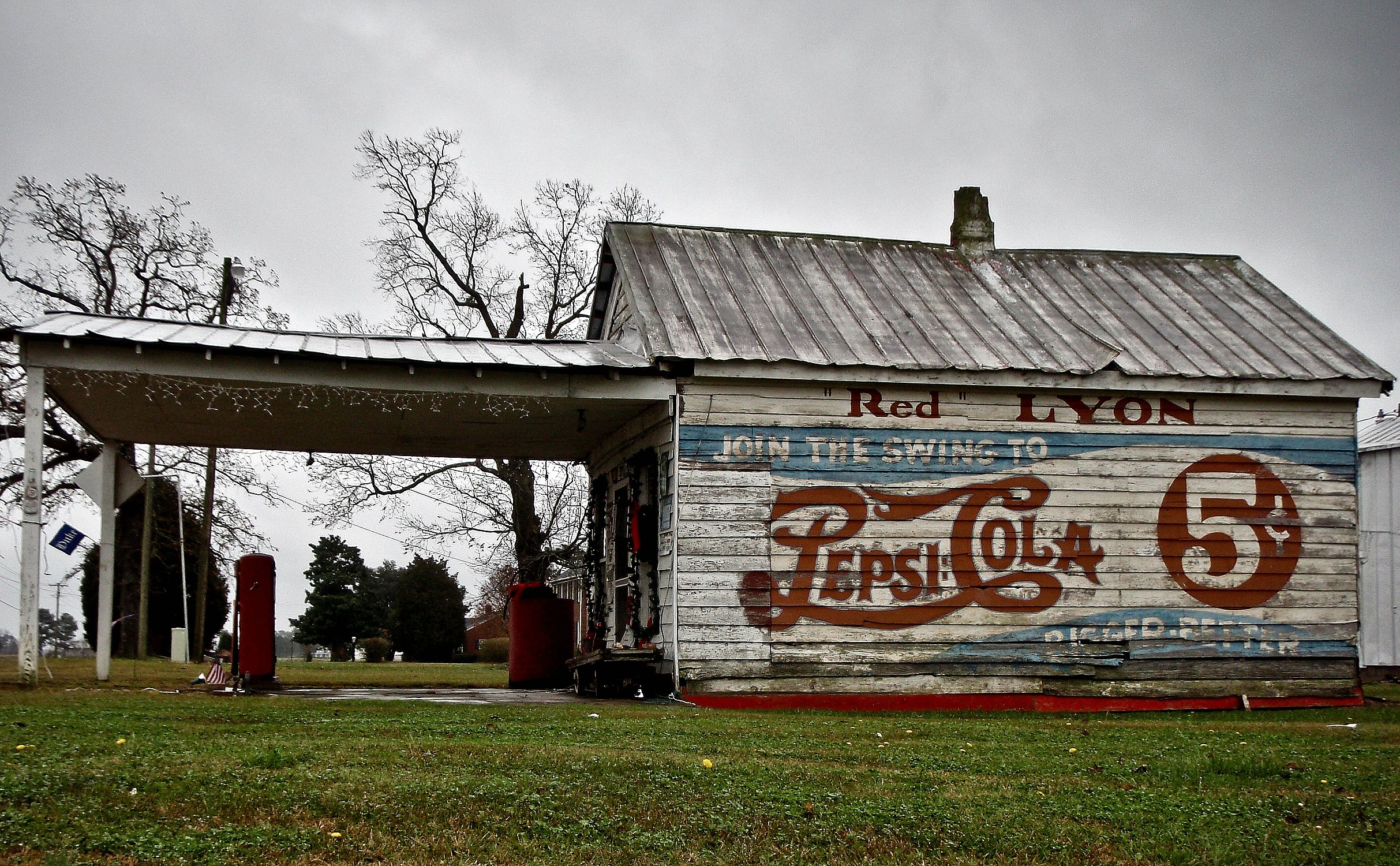
RED LYON

The Doorway
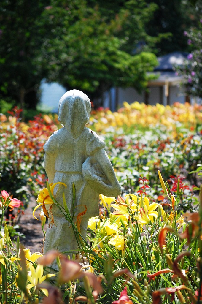
view to a garden
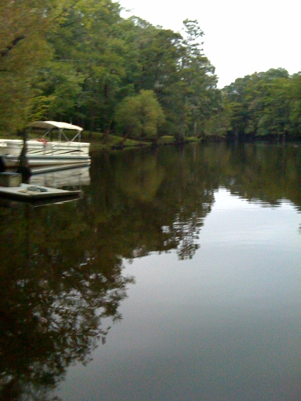
Neuse River Expedition Finished
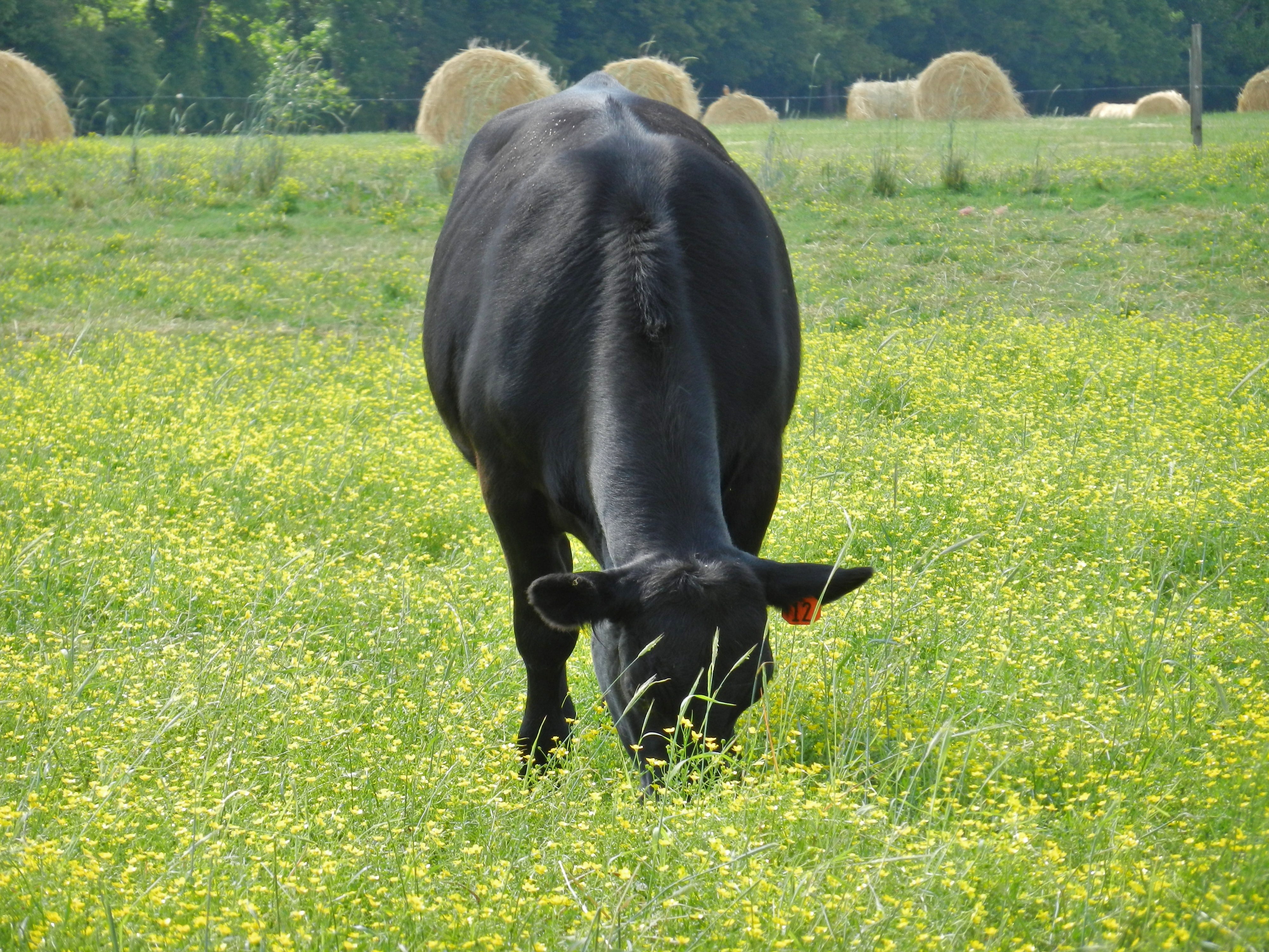
Angus Cow
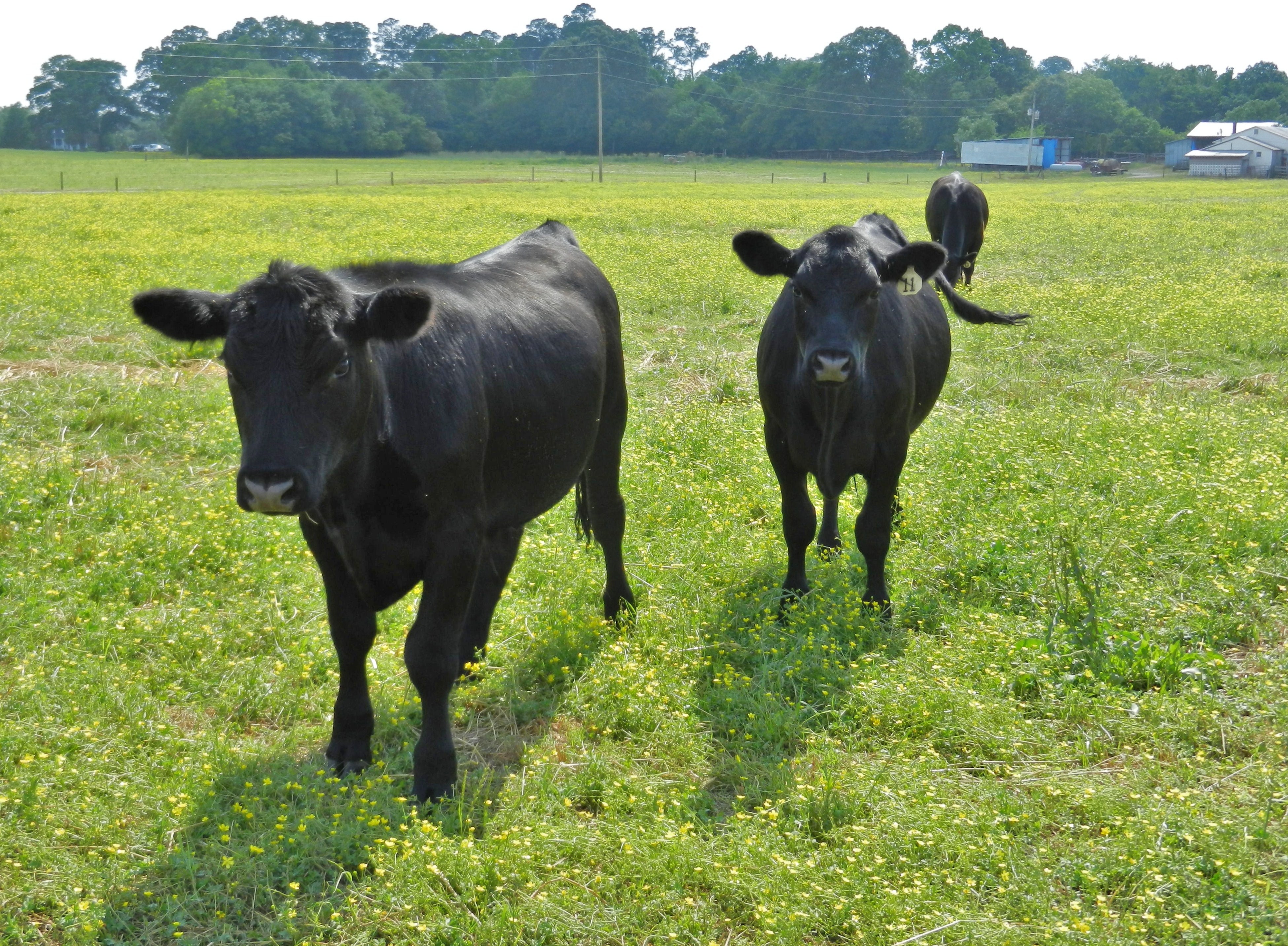
Angus Cattle
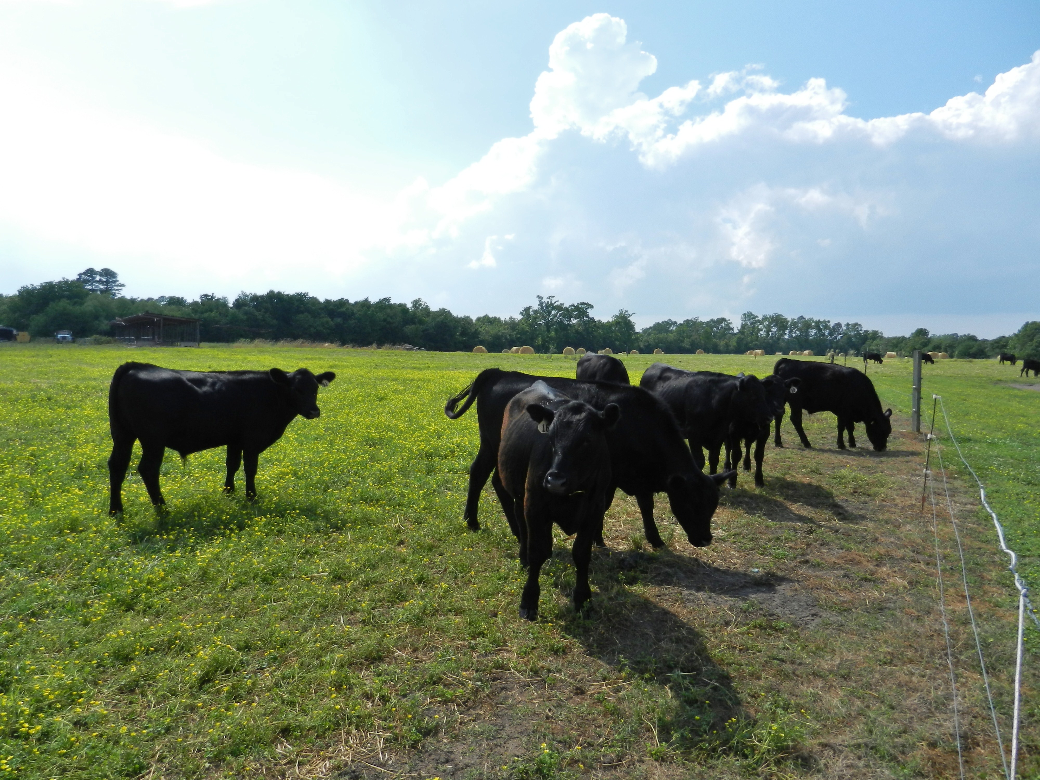
Angus Cattle
Bend in the road

We must stop & eat here @tommccaslintuba . Open at 430am & server breakfast all day plus burgers. Pepsi in glass bottles is nice as well.
Topographic Map of Fairway Dr, Grifton, NC, USA
Find elevation by address:

Places near Fairway Dr, Grifton, NC, USA:
6521 Fairway Dr
6152 Marvin Taylor Rd
659 Wall St
Grifton
453 Queen St
Grifton
Water Street
5152 Tick Bite Rd
5068 Tick Bite Rd
Tick Bite
Tick Bite
4874 Tick Bite Rd
3854 Saw Mill Rd
3373 Saw Mill Rd
3373 Saw Mill Rd
1044 Jacksontown Rd
Allen Dr, Ayden, NC, USA
Contentnea Neck
Ayden
282 Fourth St
Recent Searches:
- Elevation of Woodland Oak Pl, Thousand Oaks, CA, USA
- Elevation of Brownsdale Rd, Renfrew, PA, USA
- Elevation of Corcoran Ln, Suffolk, VA, USA
- Elevation of Mamala II, Sariaya, Quezon, Philippines
- Elevation of Sarangdanda, Nepal
- Elevation of 7 Waterfall Way, Tomball, TX, USA
- Elevation of SW 57th Ave, Portland, OR, USA
- Elevation of Crocker Dr, Vacaville, CA, USA
- Elevation of Pu Ngaol Community Meeting Hall, HWHM+3X7, Krong Saen Monourom, Cambodia
- Elevation of Royal Ontario Museum, Queens Park, Toronto, ON M5S 2C6, Canada