Elevation of Walker Valley, NY, USA
Location: United States > New York > Ulster County > Shawangunk >
Longitude: -74.377932
Latitude: 41.6337047
Elevation: 200m / 656feet
Barometric Pressure: 99KPa
Elevation Map:
Satellite Map:
Related Photos:
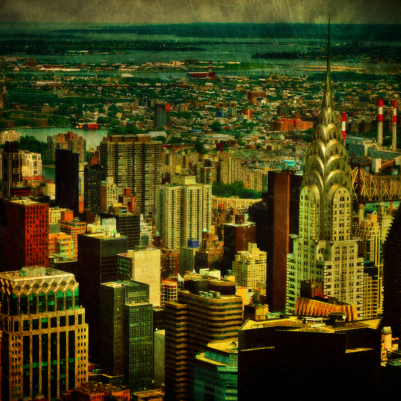
The colors of Manhattan
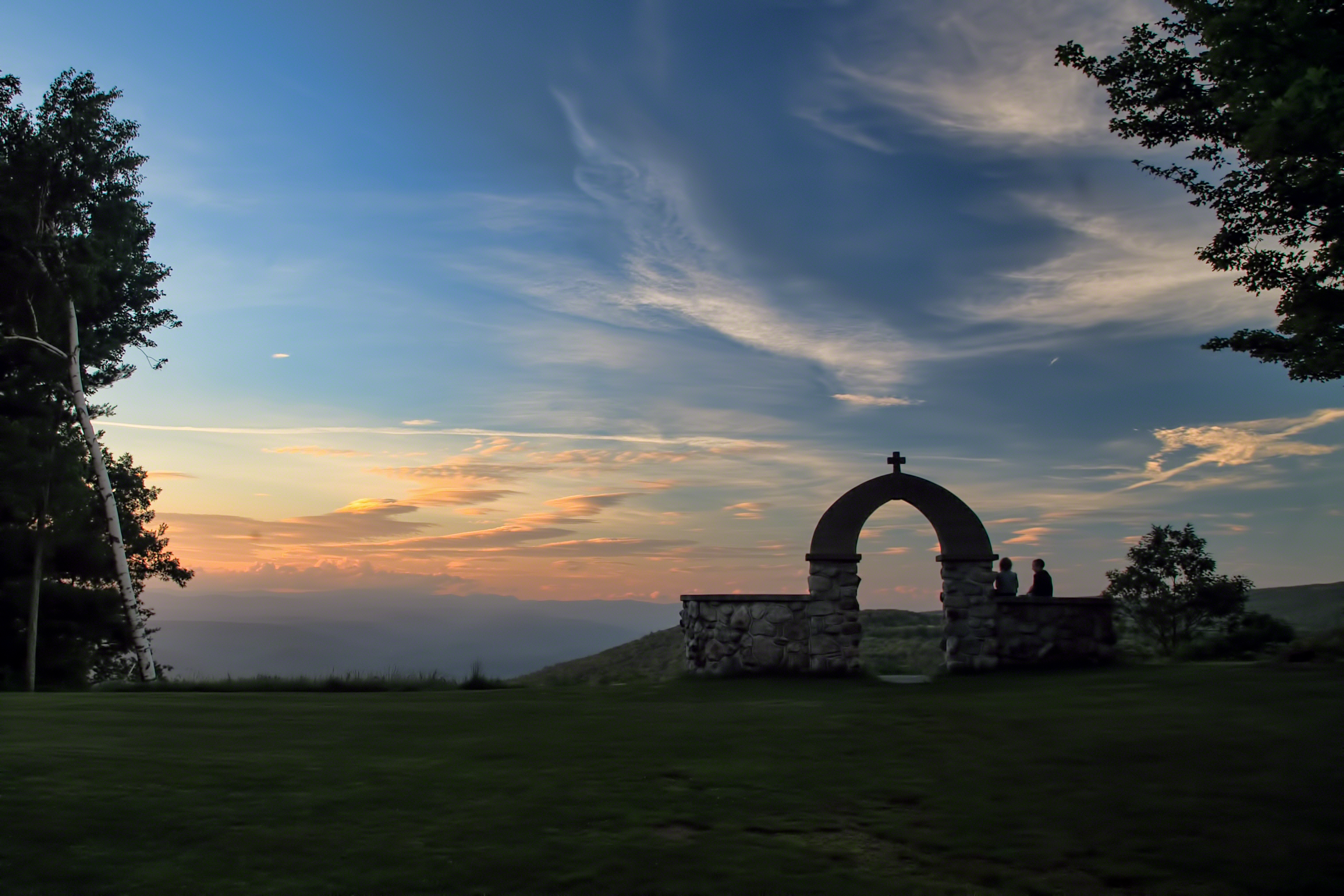
Mountain Sunset
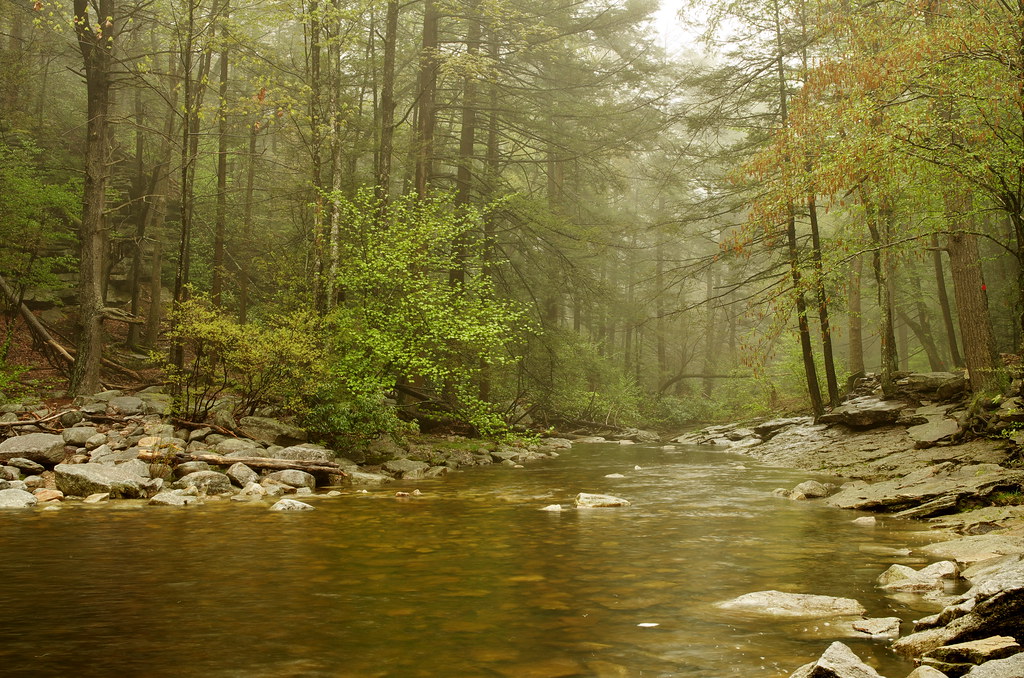
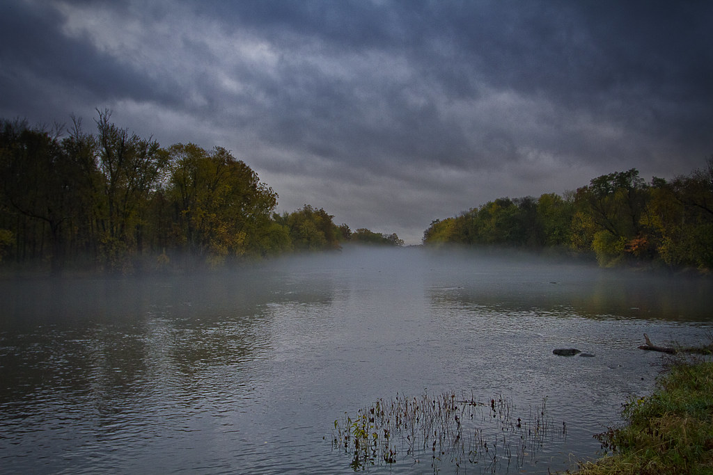
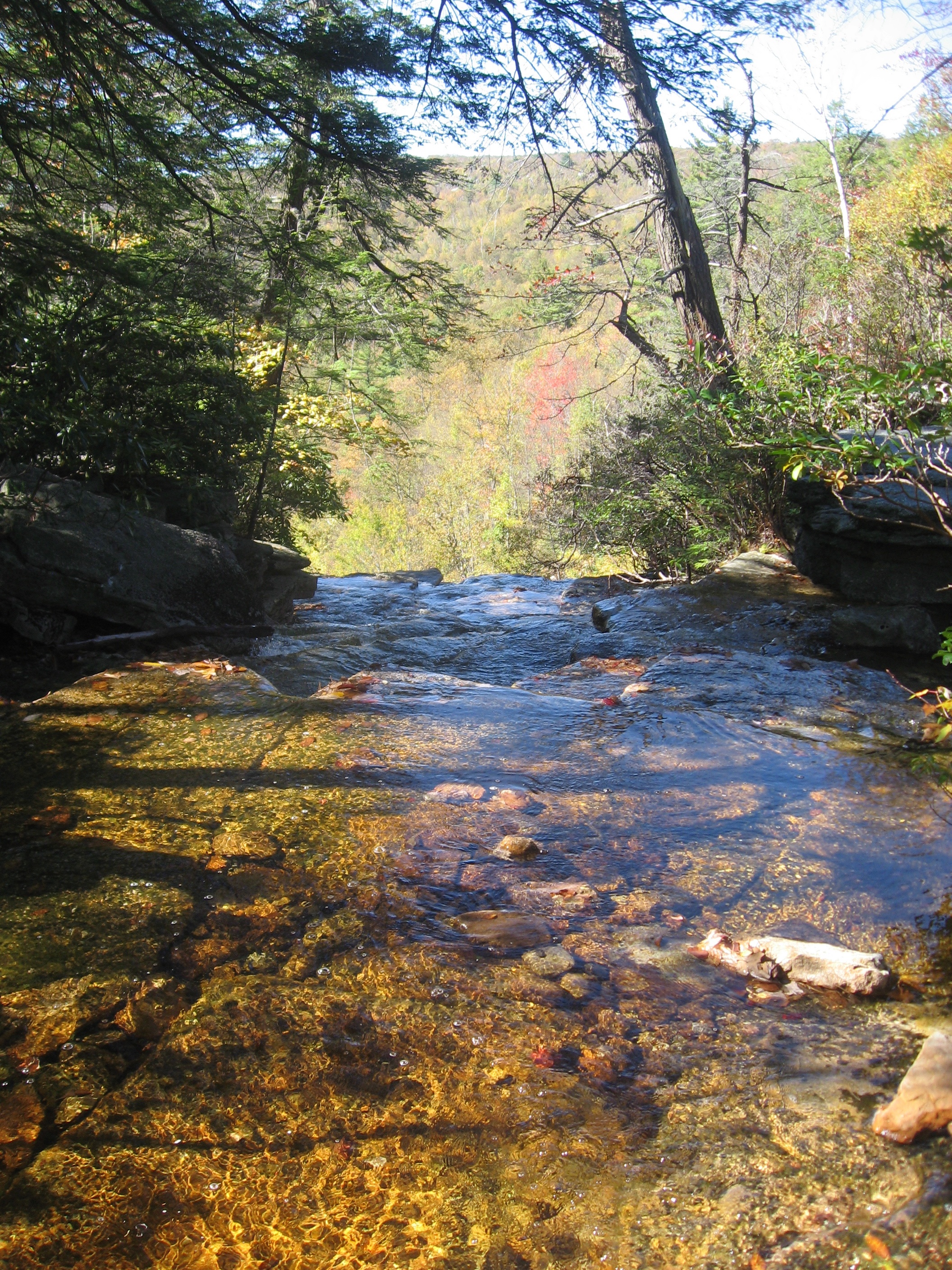
River in the Woods
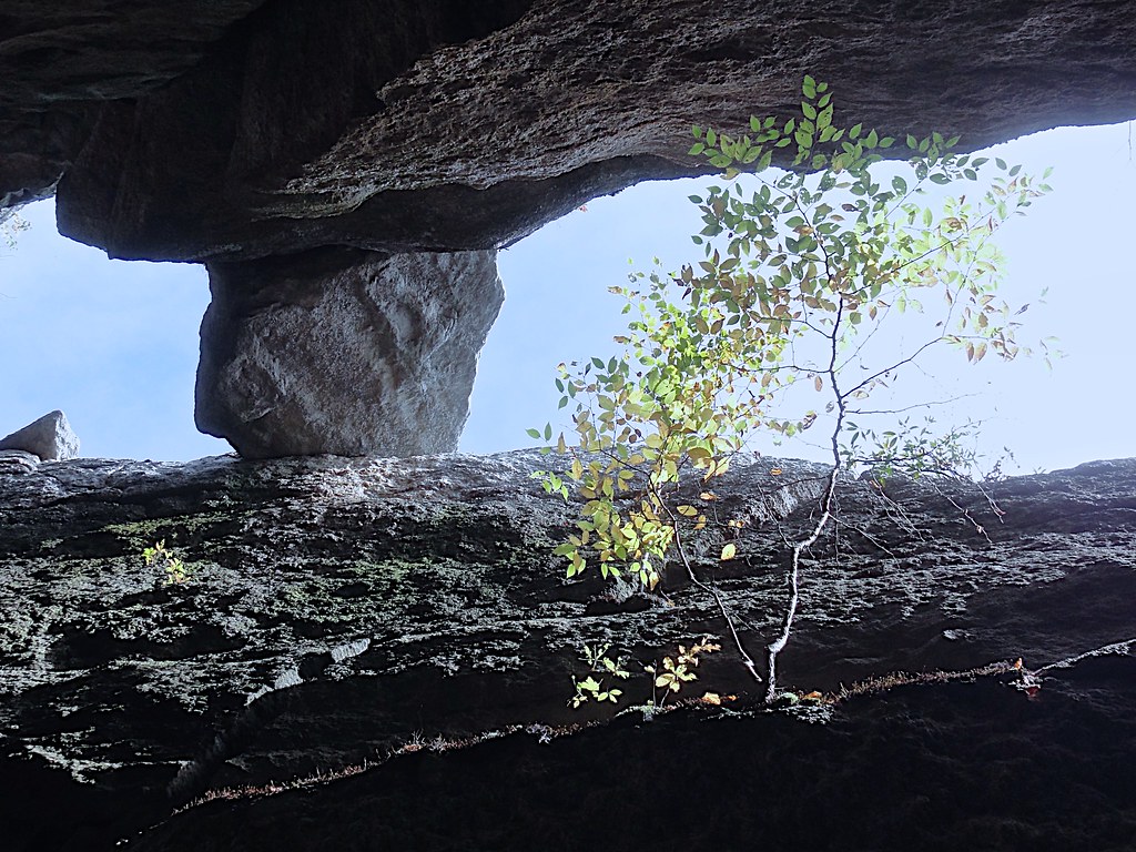
Slot Perspective
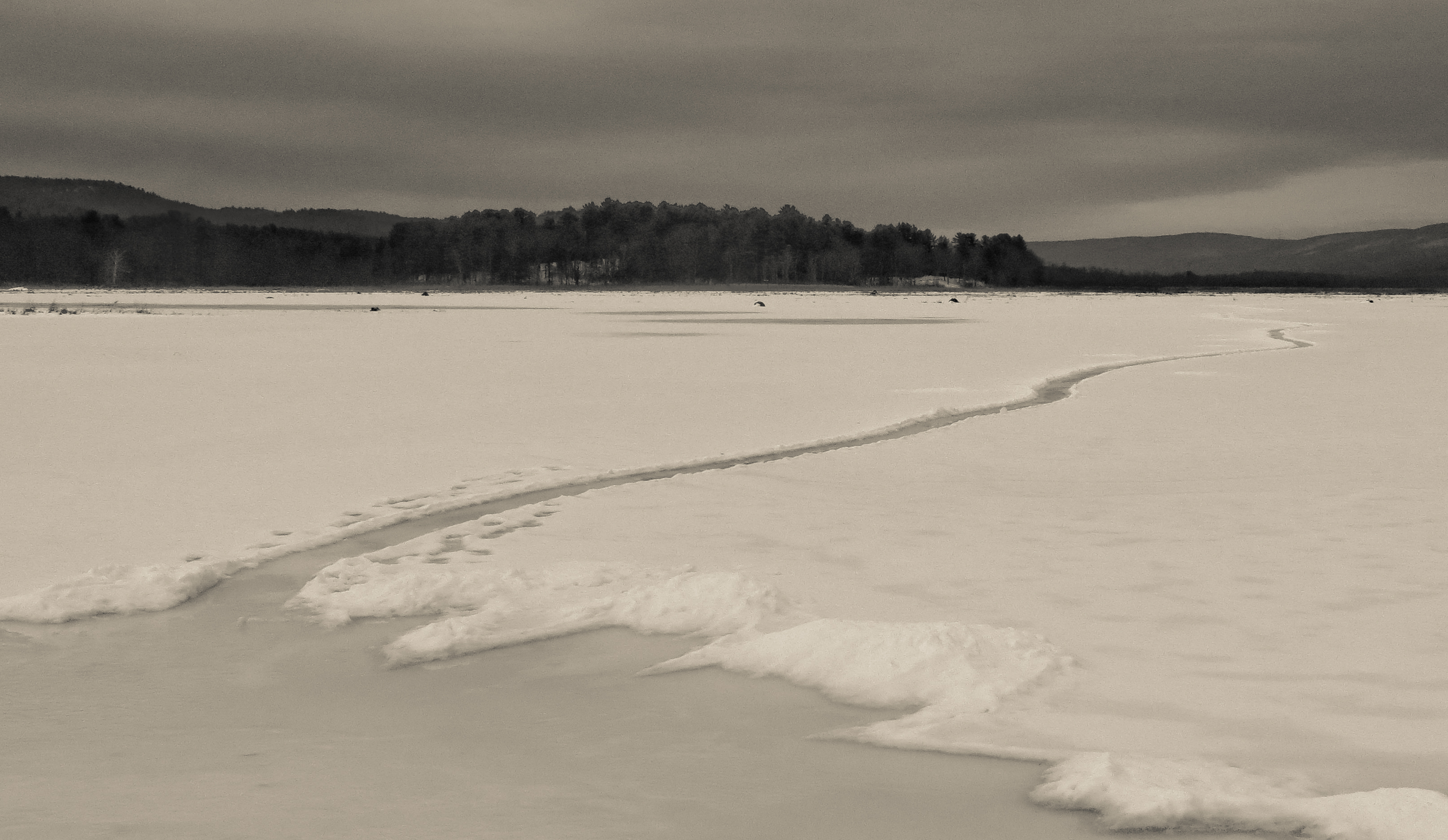
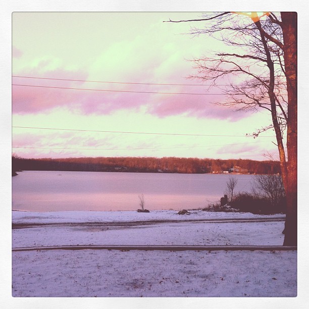
Path Into An Icy Lake

Clouds Moving In Over The Bashakill *Explore*
Remnants of an Abandoned Railroad
Hamilton Point
Abandoned but not forgotten by the light
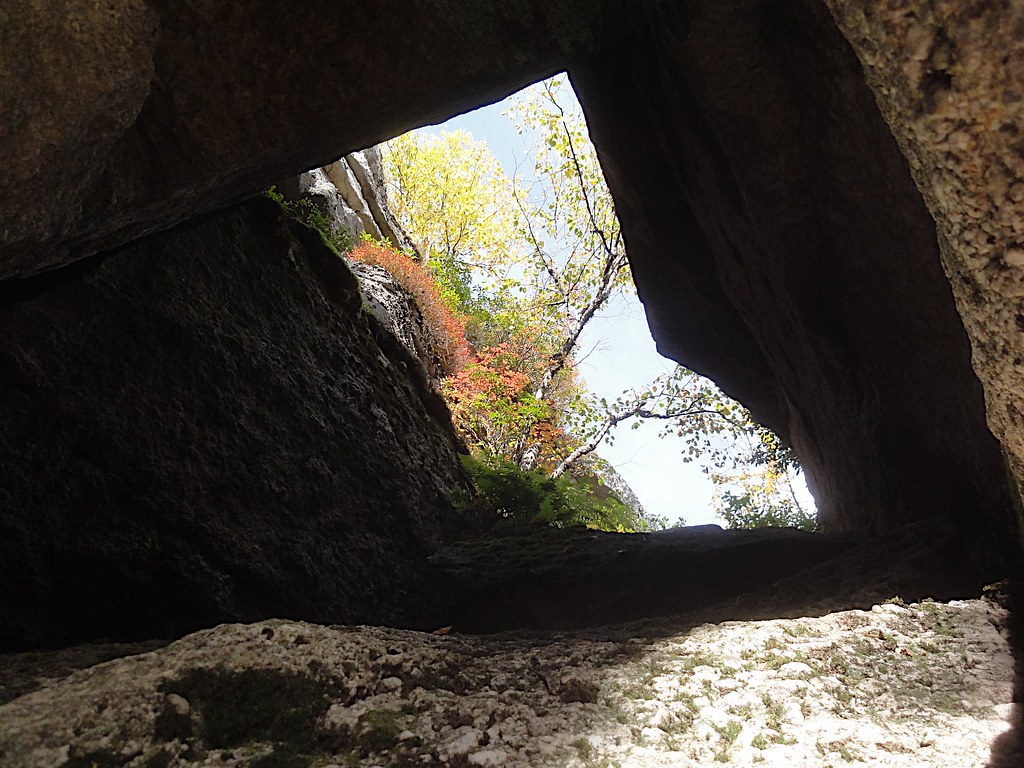
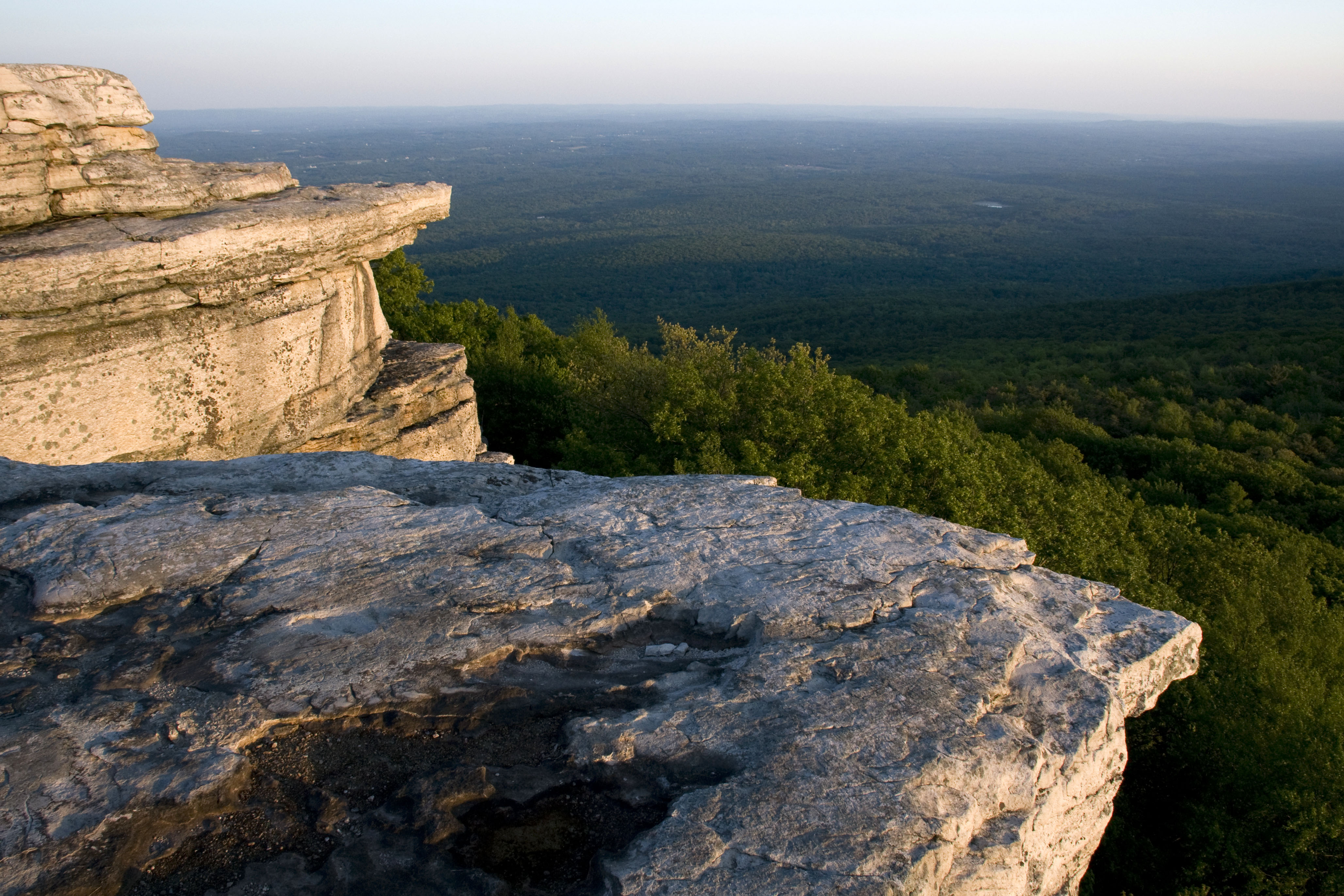
Rock Window View
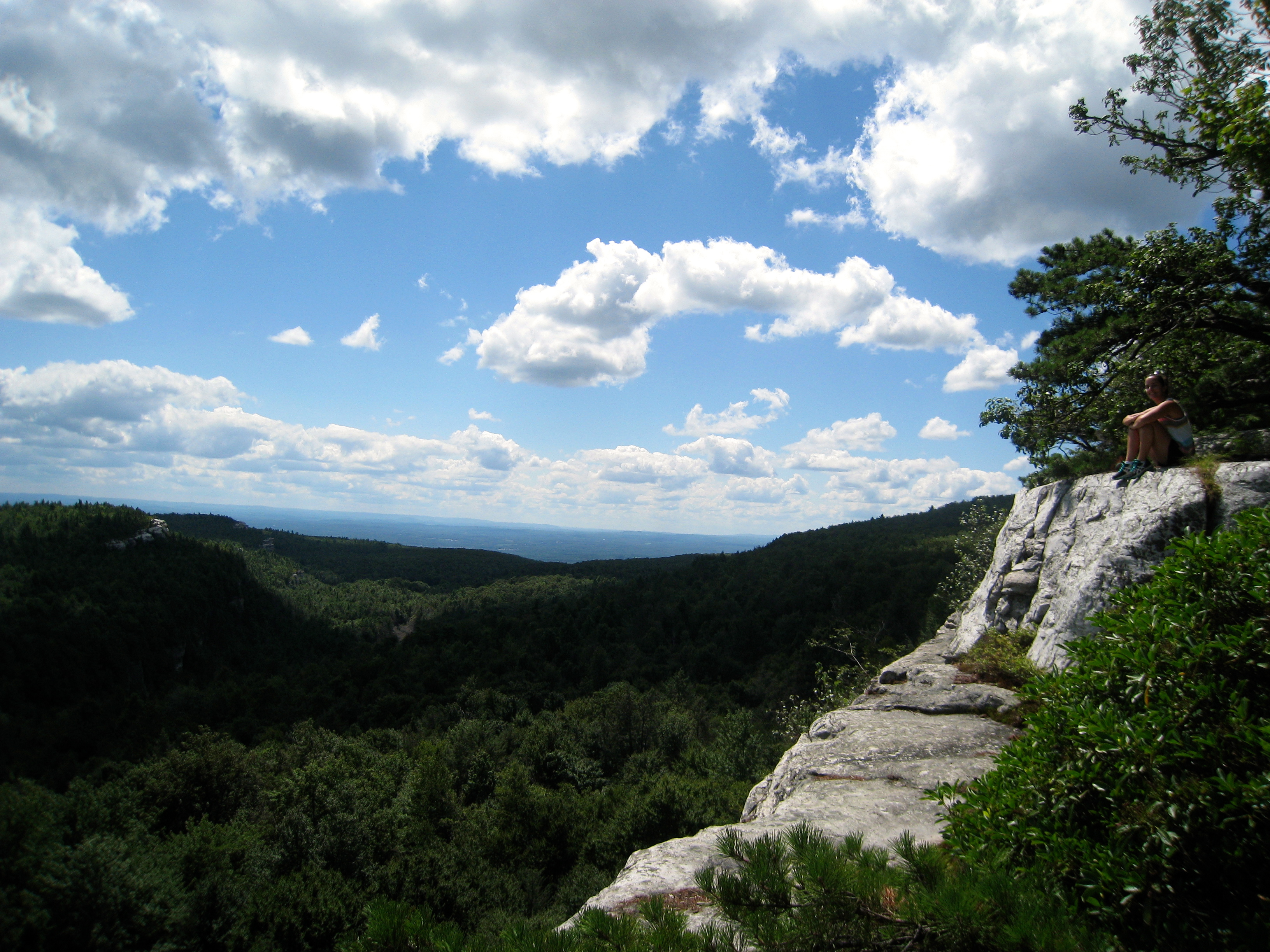
On top of the world
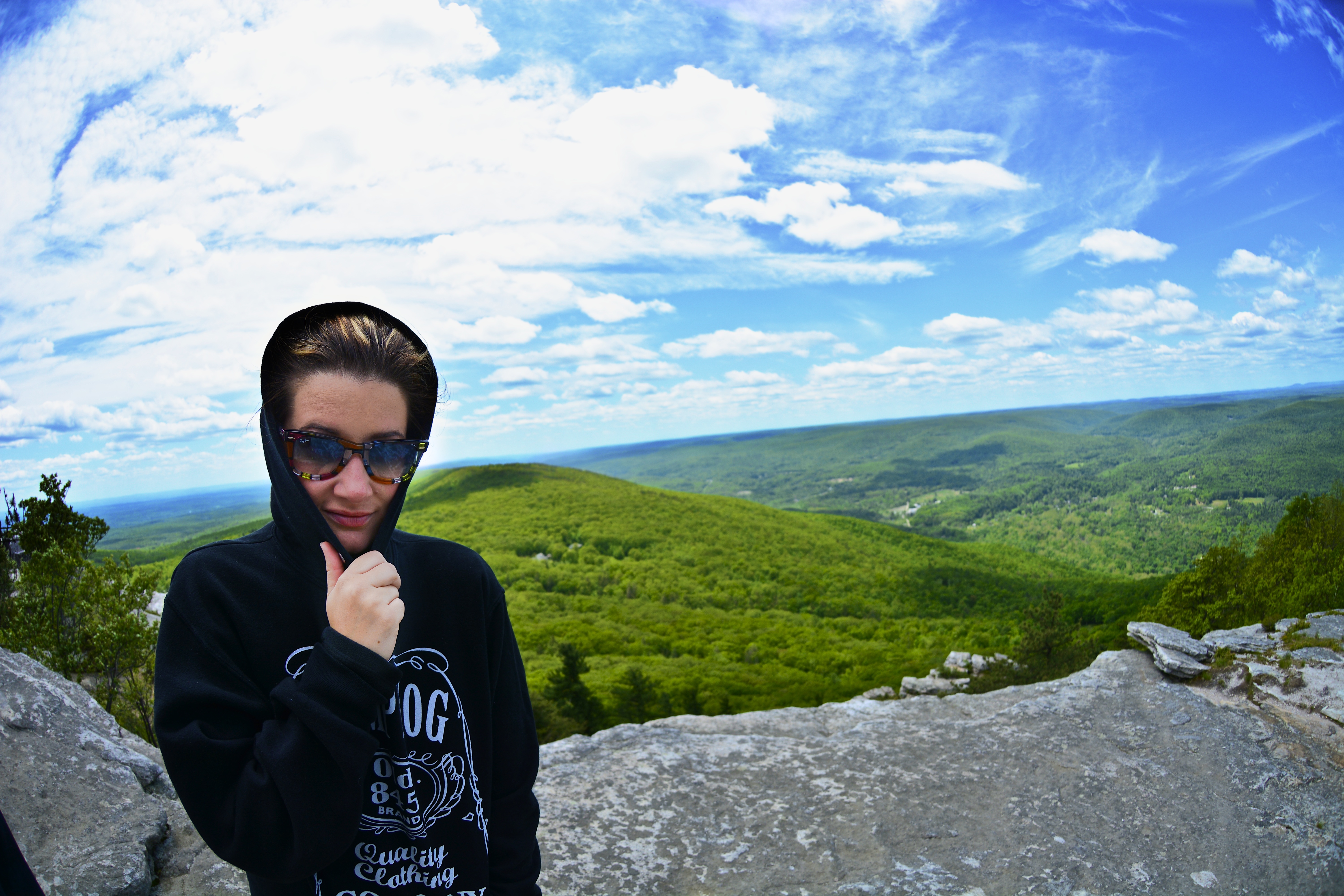
Fish eye 1
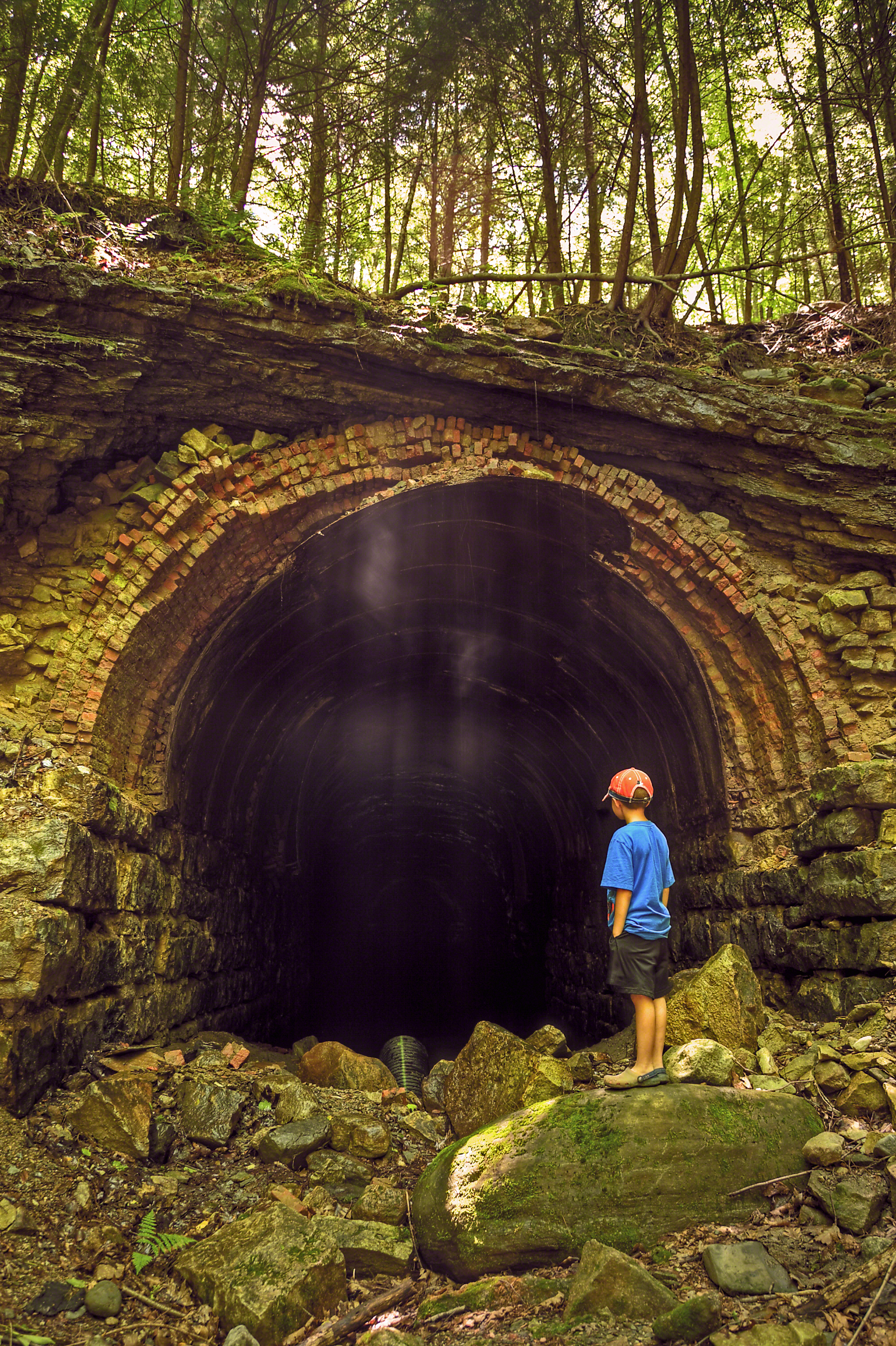
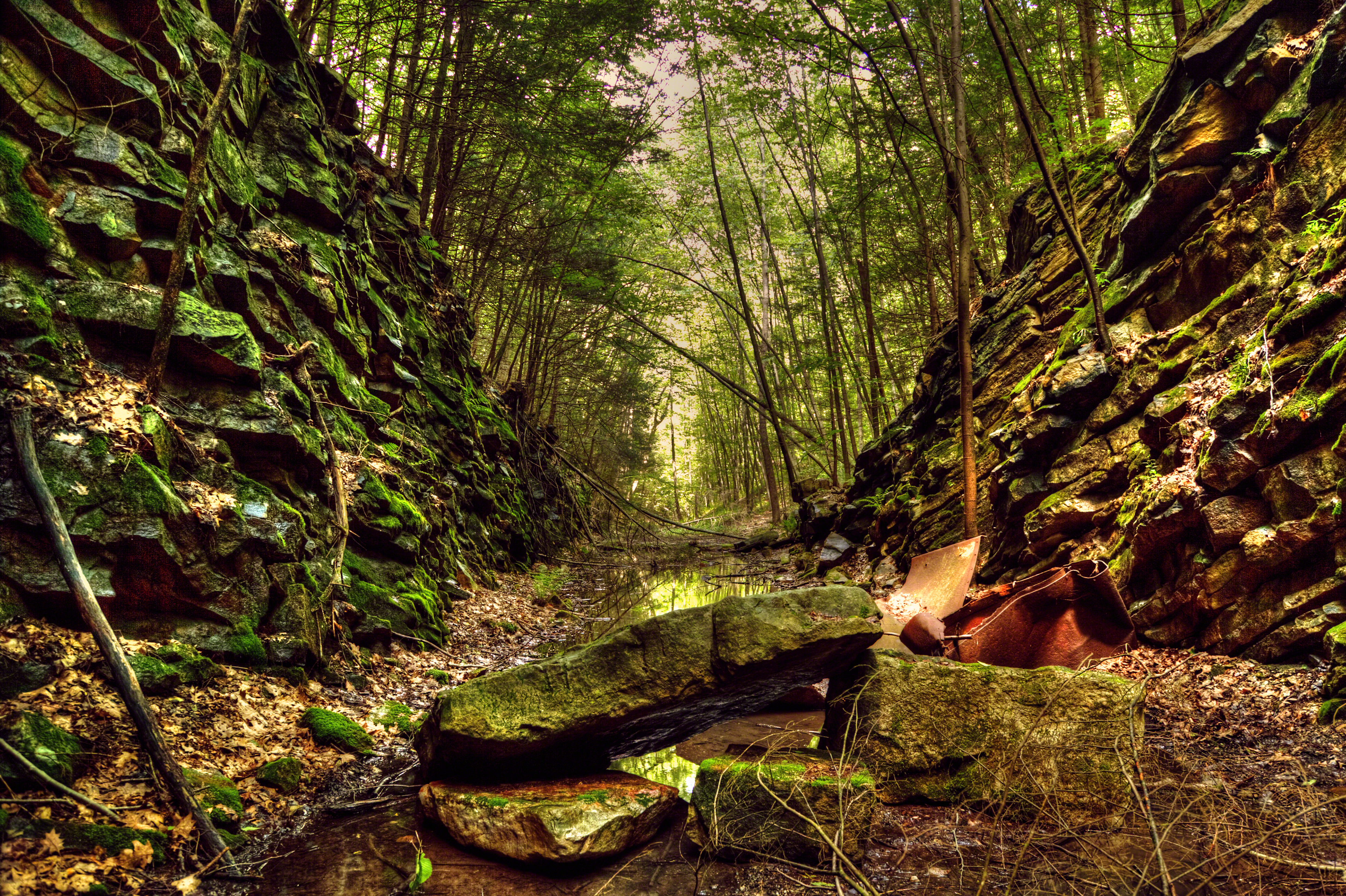
The Forgotten Tunnel
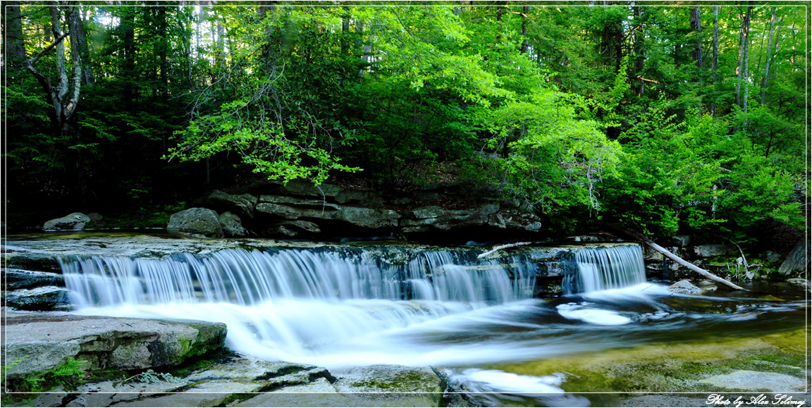
Flowing profusely
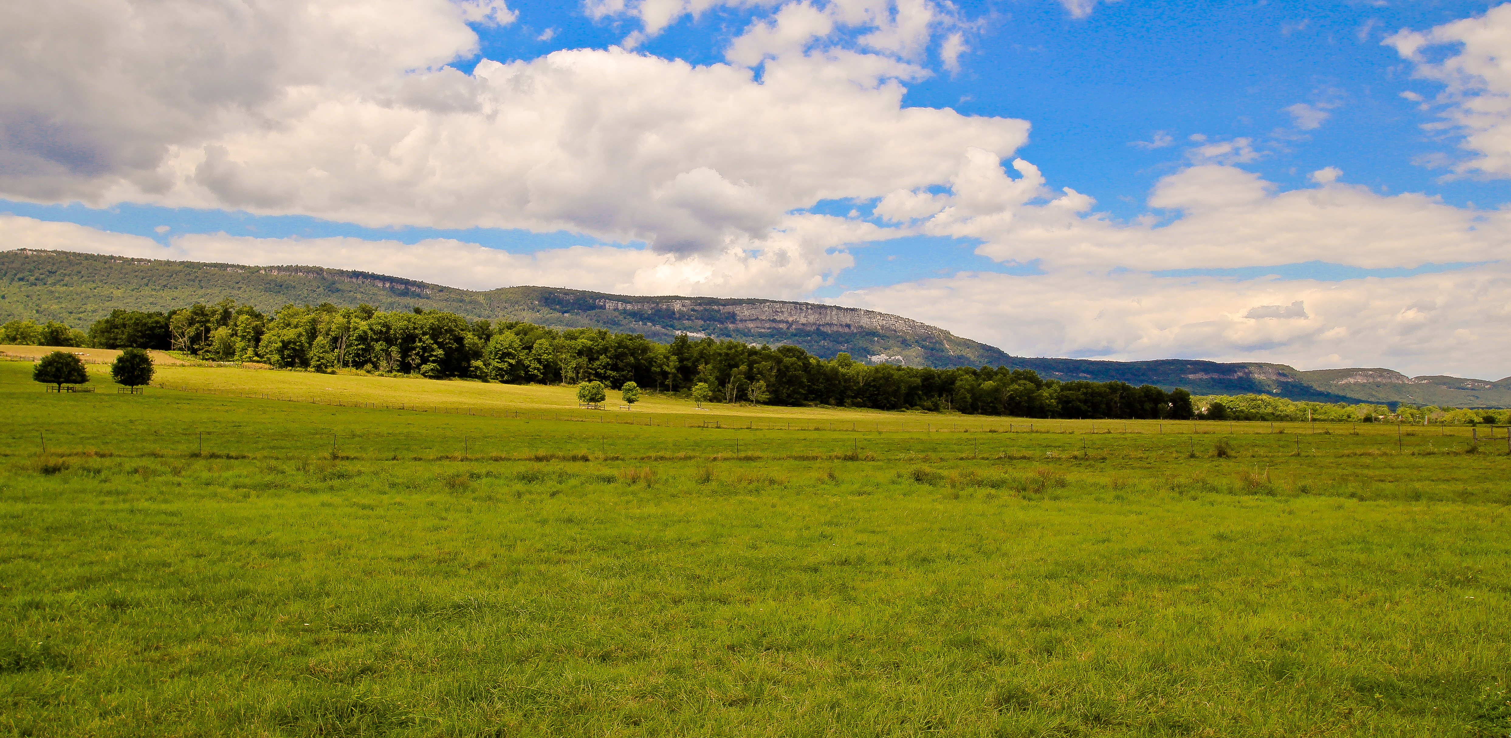
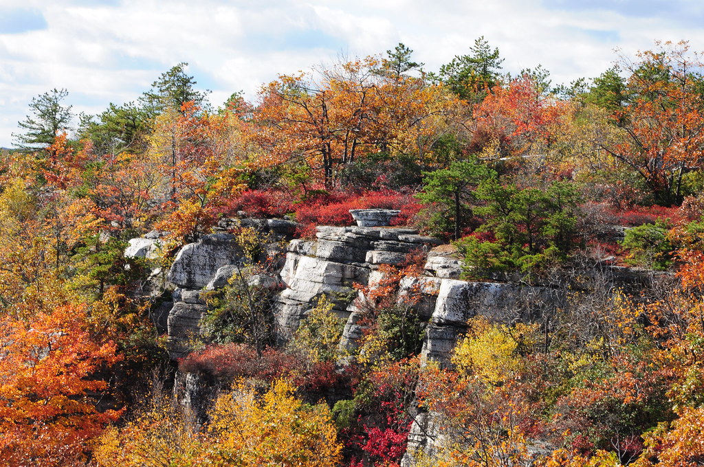
The Gunks
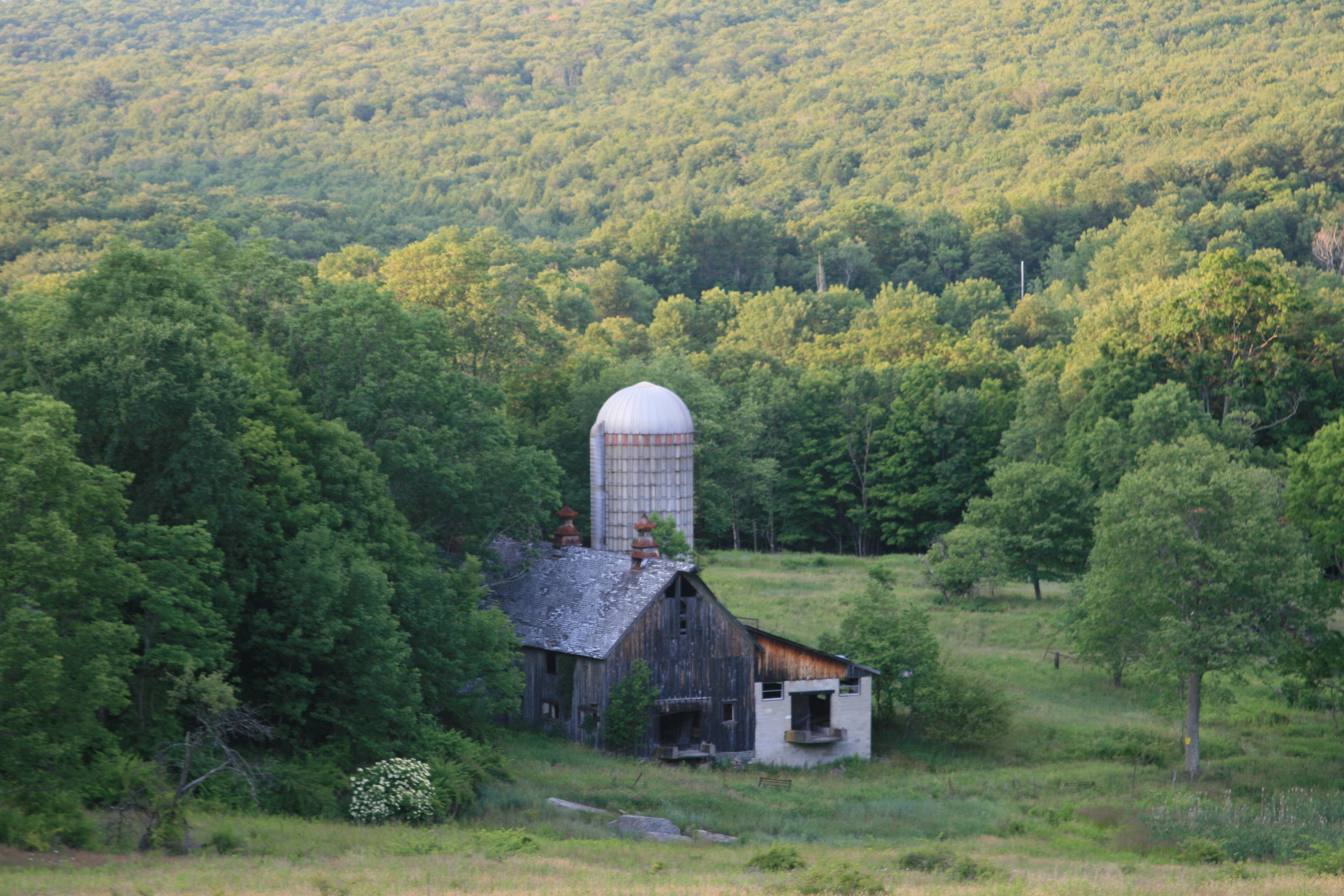
The view from my cousin's new house
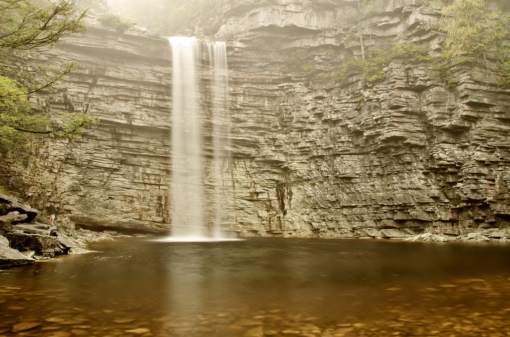
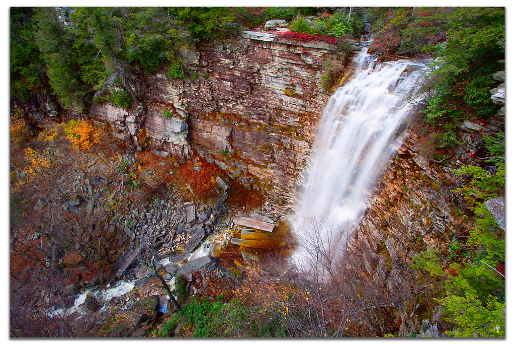
Awosting Falls
Sam's Point
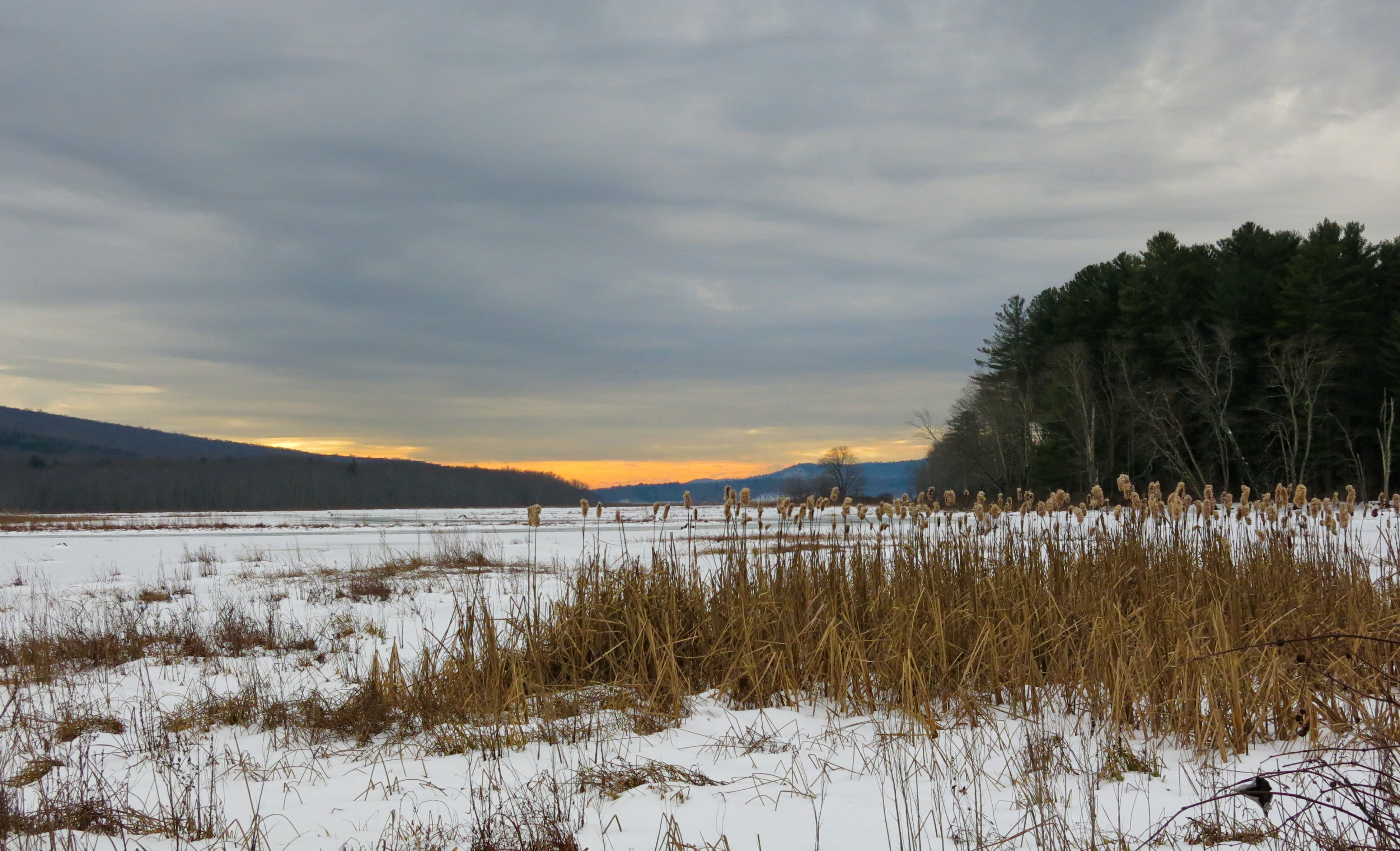
Bashakill Snowscape

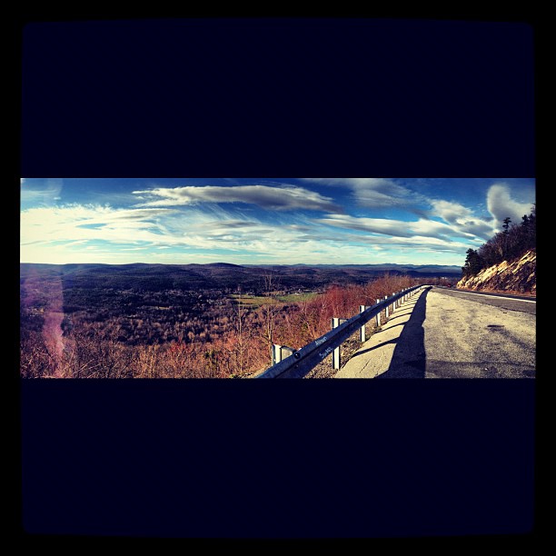
View from Castle Point
#fallskies I miss this view.

Springtime Blues

wild deers
Foggy Fall Wallkill River

Around Lock 20 D&H Canal
VerKeerderkill Falls
Samspointae 3005
Samspoint 2760 (2)
2016-06-13_08-27-32

Sunday hike.
Falls Edge
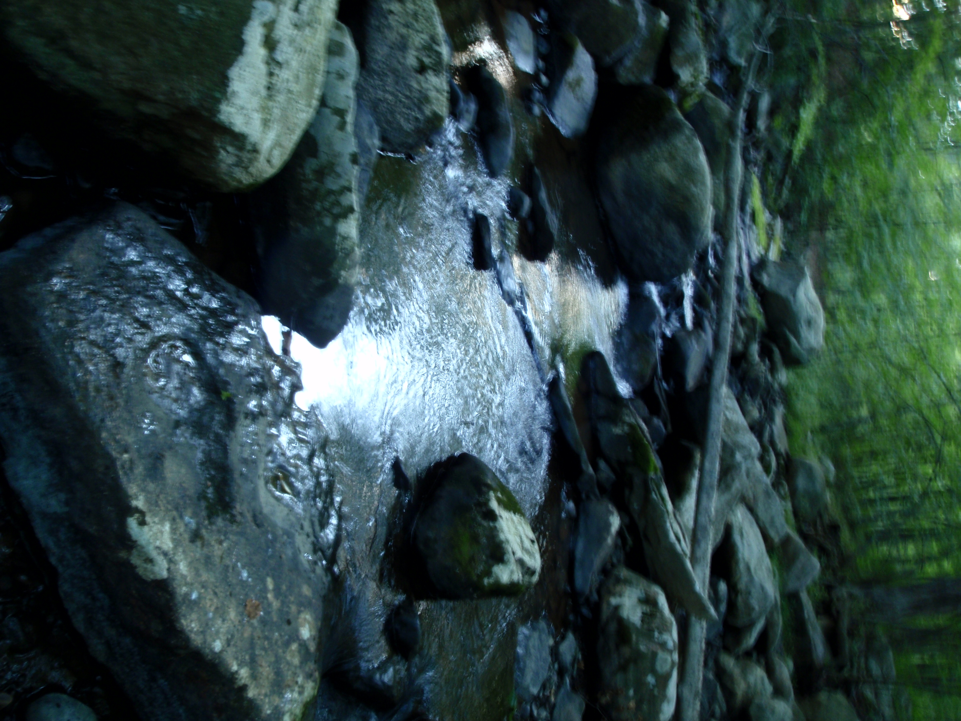
The Creek by the Cabin
Top of Falls

DSC_5290.jpg
erik 622
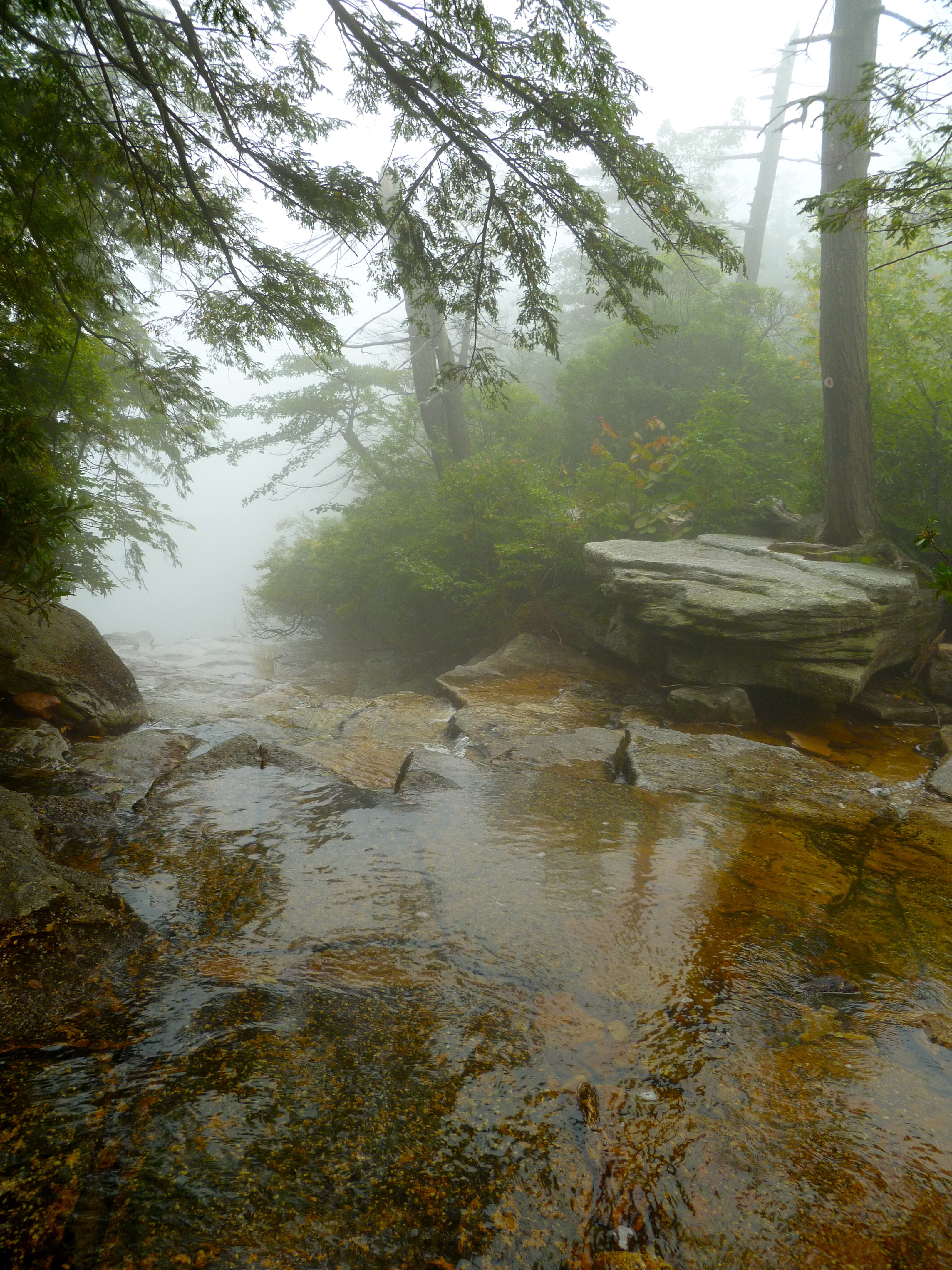
Dwarf Pines in the Fog

2012-06-02 at 14-27-53

Sanders Kill Falls
Topographic Map of Walker Valley, NY, USA
Find elevation by address:

Places in Walker Valley, NY, USA:
Places near Walker Valley, NY, USA:
10 Red Barn Rd, Pine Bush, NY, USA
494 Walker Valley Rd
11 Jeronimo Ct
91 Vista Maria Rd
195 Cox Rd
210 Echo Rd
3 Hamilton Rd, Pine Bush, NY, USA
Burlingham, NY, USA
Burlingham Rd, Pine Bush, NY, USA
Plank Road
Indian Springs Rd, Pine Bush, NY, USA
Pine Bush, NY, USA
694 Roosa Gap And Pleasant Valley Rd
1073 Indian Springs Rd
90 Shawanga Lodge Rd
130 Dunthorne Dr
Thompson Ridge, NY, USA
694 Roosa Gap Rd
Phillipsport, NY, USA
Summitville Rd, Wurtsboro, NY, USA
Recent Searches:
- Elevation of Corcoran Ln, Suffolk, VA, USA
- Elevation of Mamala II, Sariaya, Quezon, Philippines
- Elevation of Sarangdanda, Nepal
- Elevation of 7 Waterfall Way, Tomball, TX, USA
- Elevation of SW 57th Ave, Portland, OR, USA
- Elevation of Crocker Dr, Vacaville, CA, USA
- Elevation of Pu Ngaol Community Meeting Hall, HWHM+3X7, Krong Saen Monourom, Cambodia
- Elevation of Royal Ontario Museum, Queens Park, Toronto, ON M5S 2C6, Canada
- Elevation of Groblershoop, South Africa
- Elevation of Power Generation Enterprises | Industrial Diesel Generators, Oak Ave, Canyon Country, CA, USA