Elevation of Roosa Gap and Pleasant Valley Rd, Bloomingburg, NY, USA
Location: United States > New York > Sullivan County > Mamakating > Bloomingburg >
Longitude: -74.421423
Latitude: 41.6007481
Elevation: 280m / 919feet
Barometric Pressure: 98KPa
Elevation Map:
Satellite Map:
Related Photos:

The colors of Manhattan

Lines Along A Straight Road
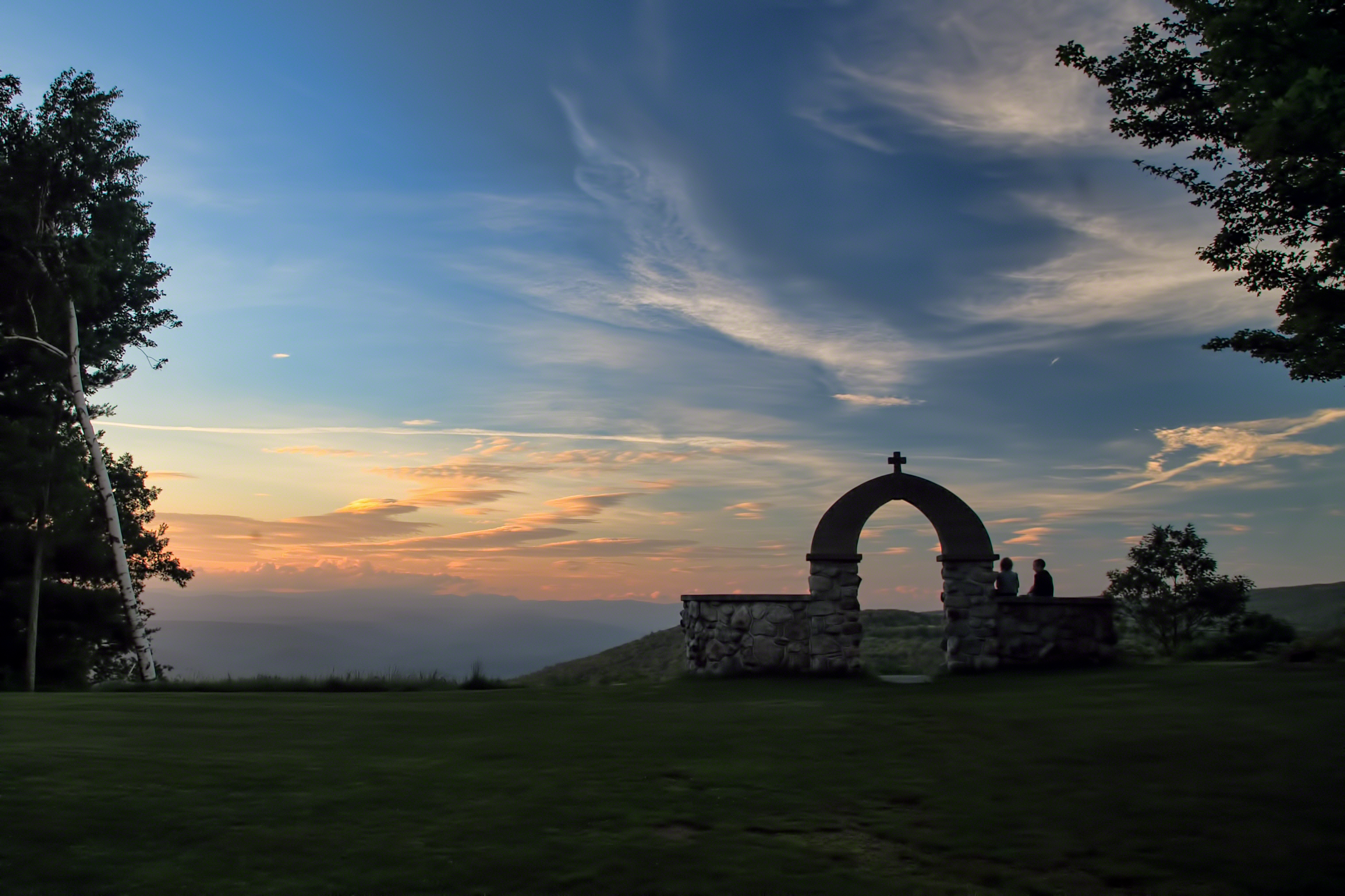
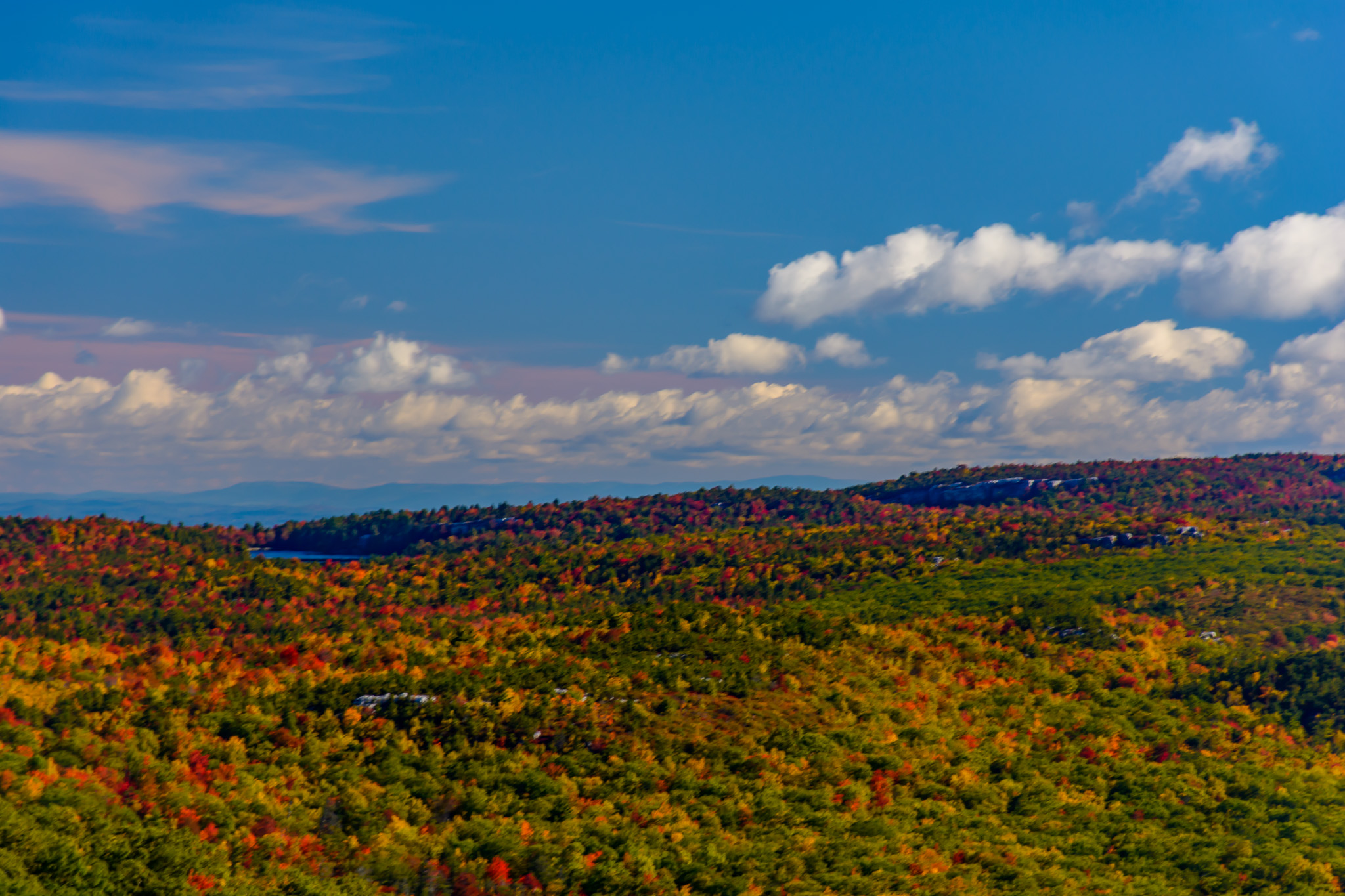
Mountain Sunset
Slot Perspective
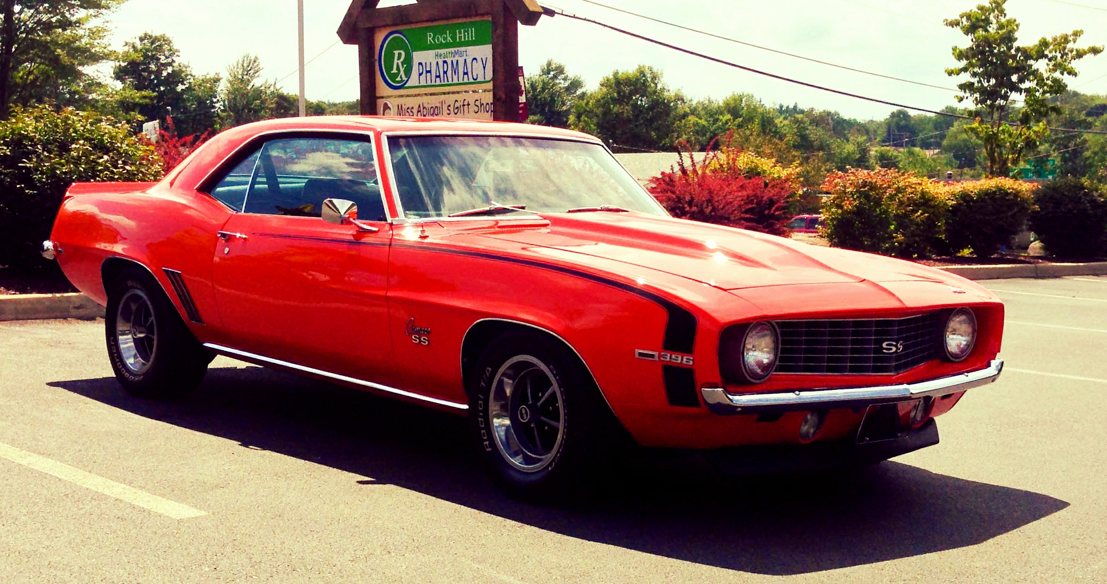
Vacation To 1969
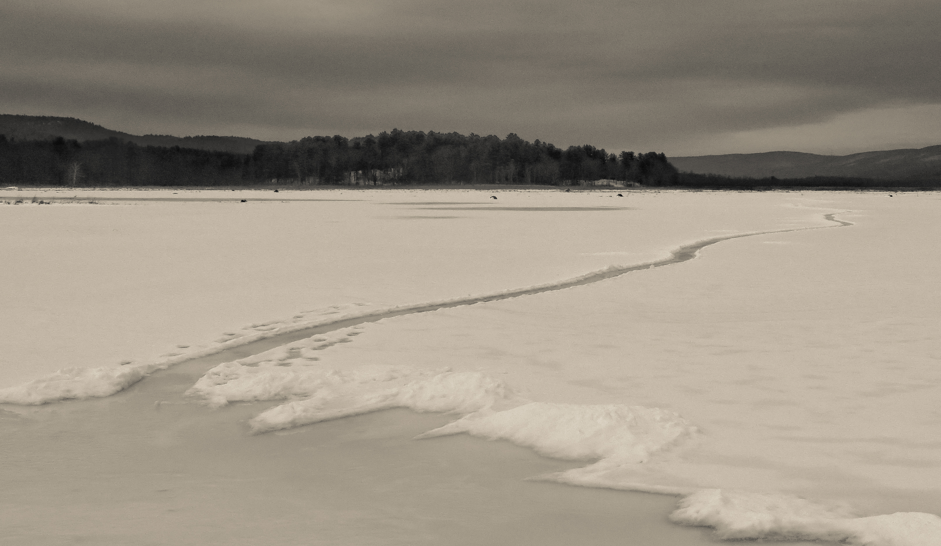
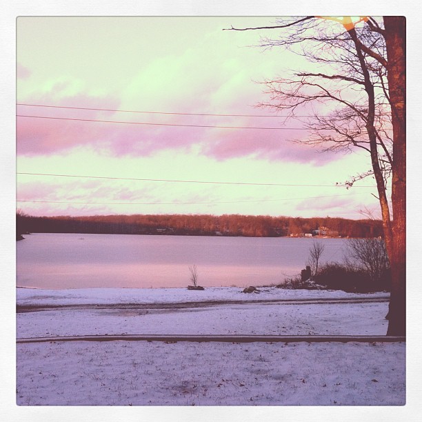
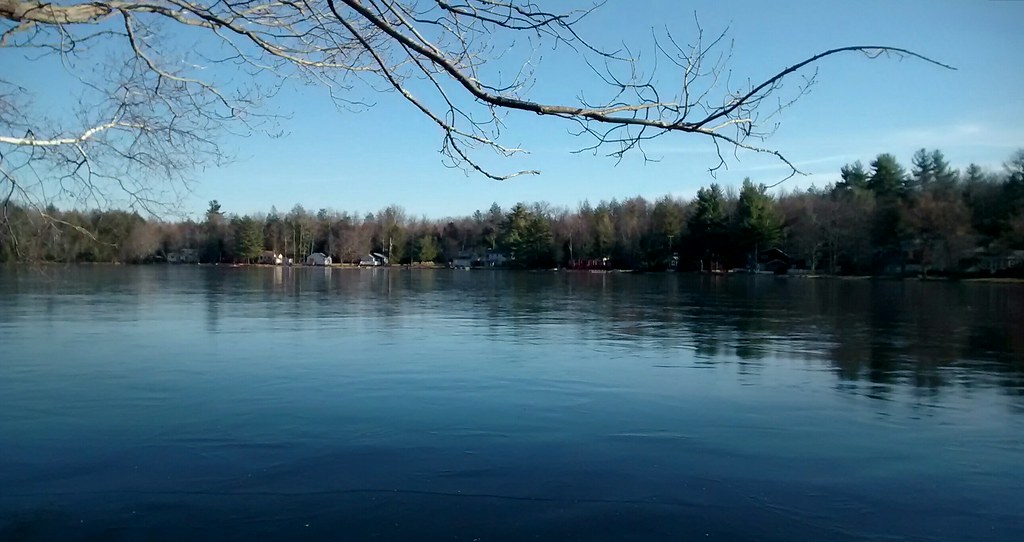
Path Into An Icy Lake
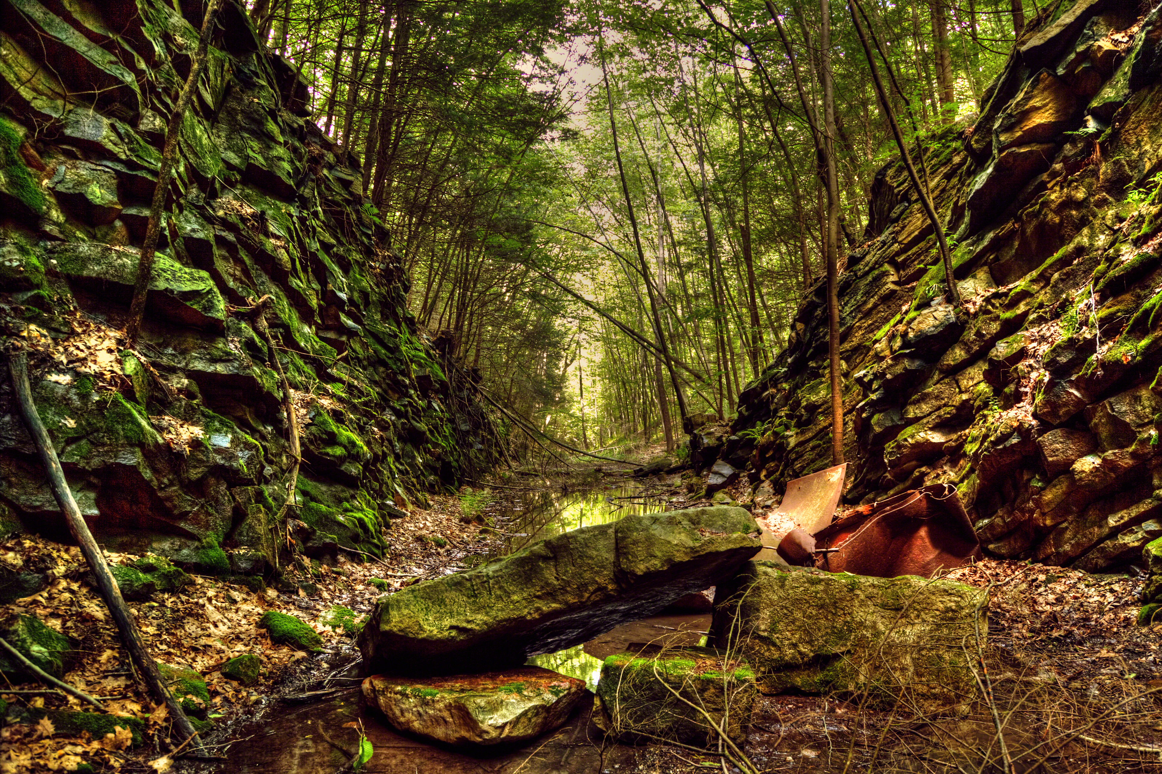
Remnants of an Abandoned Railroad

John W. Chorley Elementary School - Model

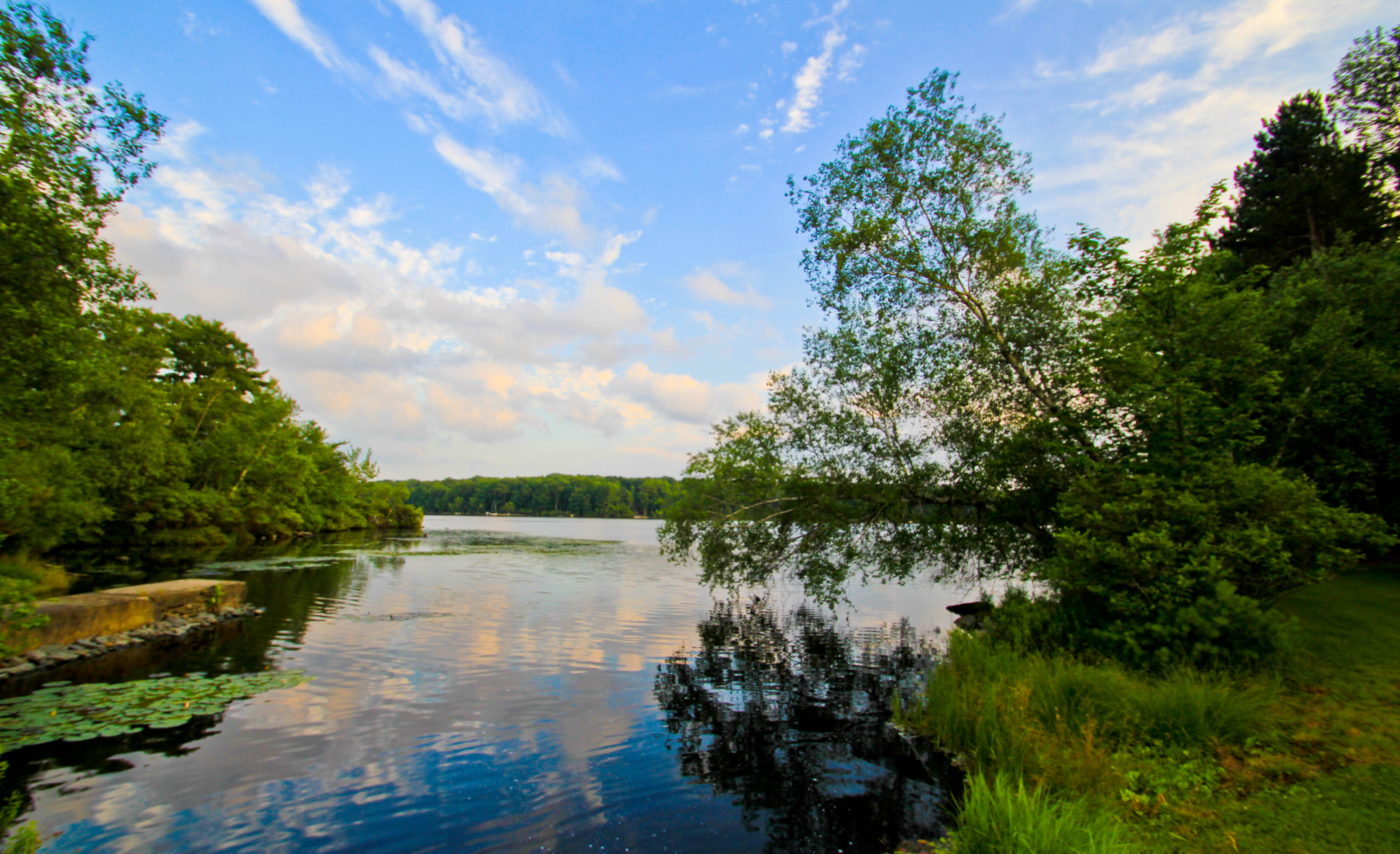
Clouds Moving In Over The Bashakill *Explore*
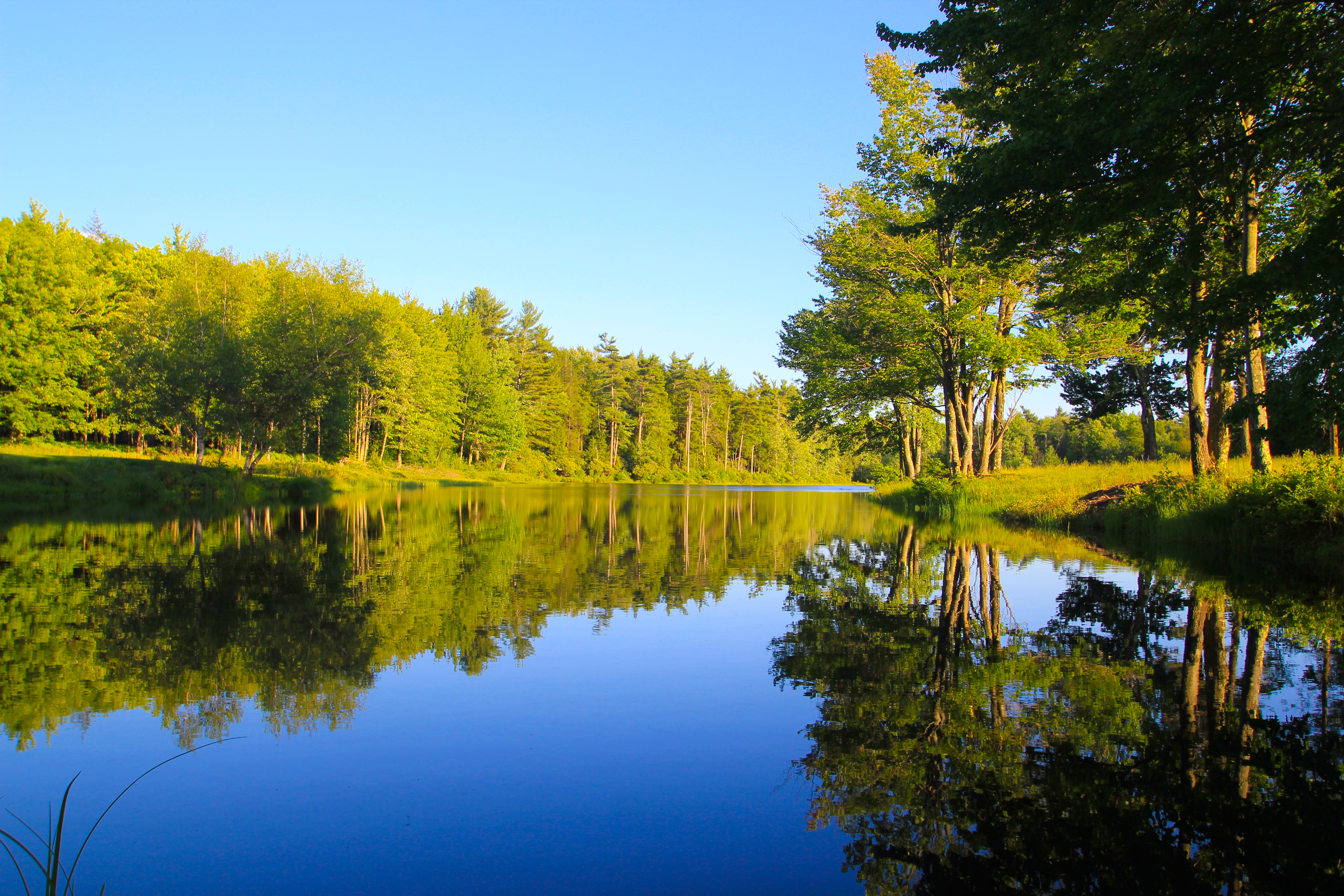
Golden Hour Lake Reflections
Evening Sky Over Wolf Lake

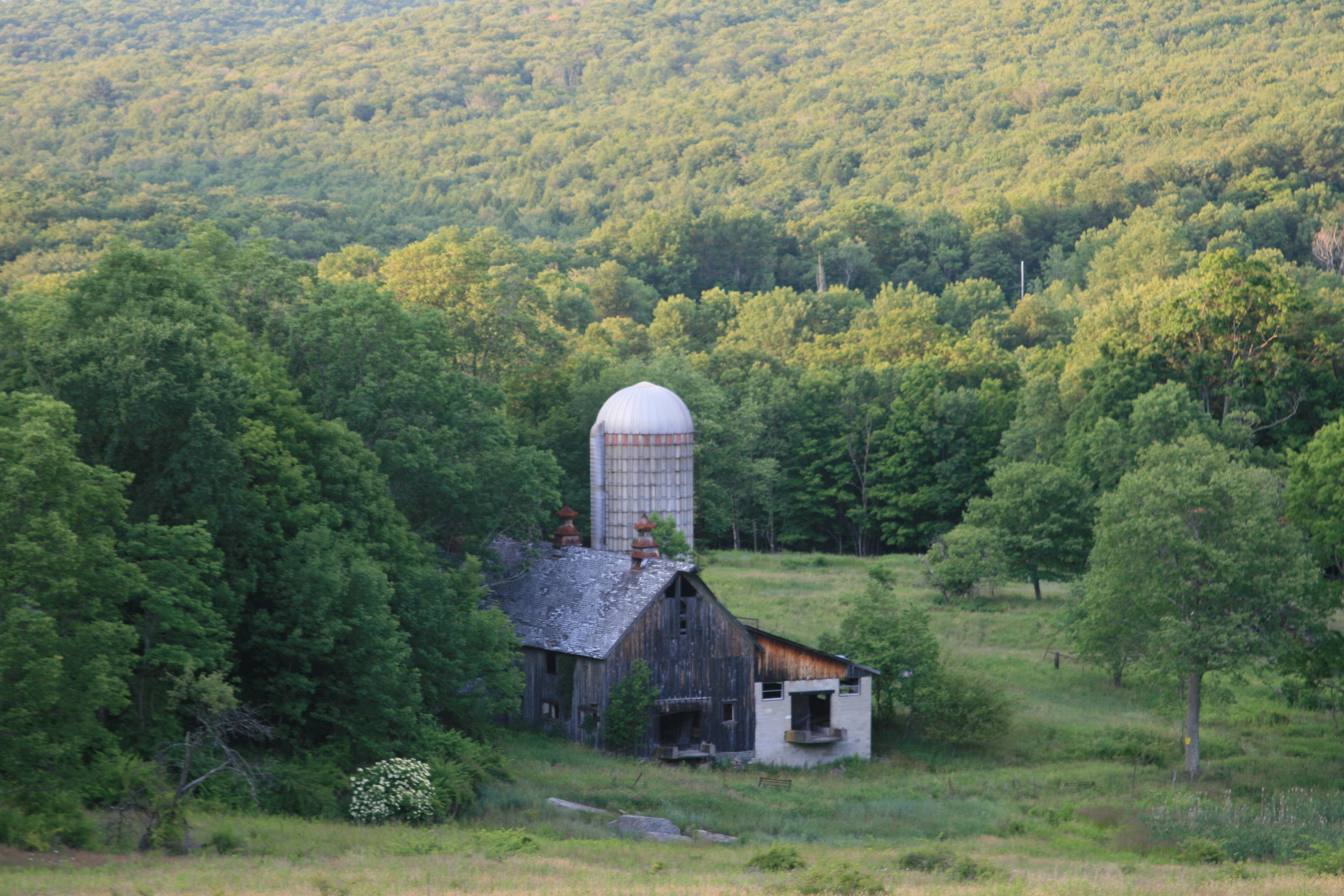
Weathered Red Barn
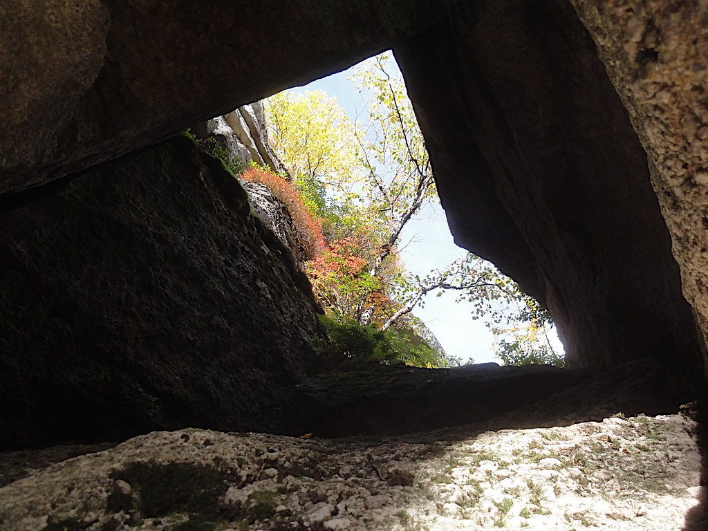
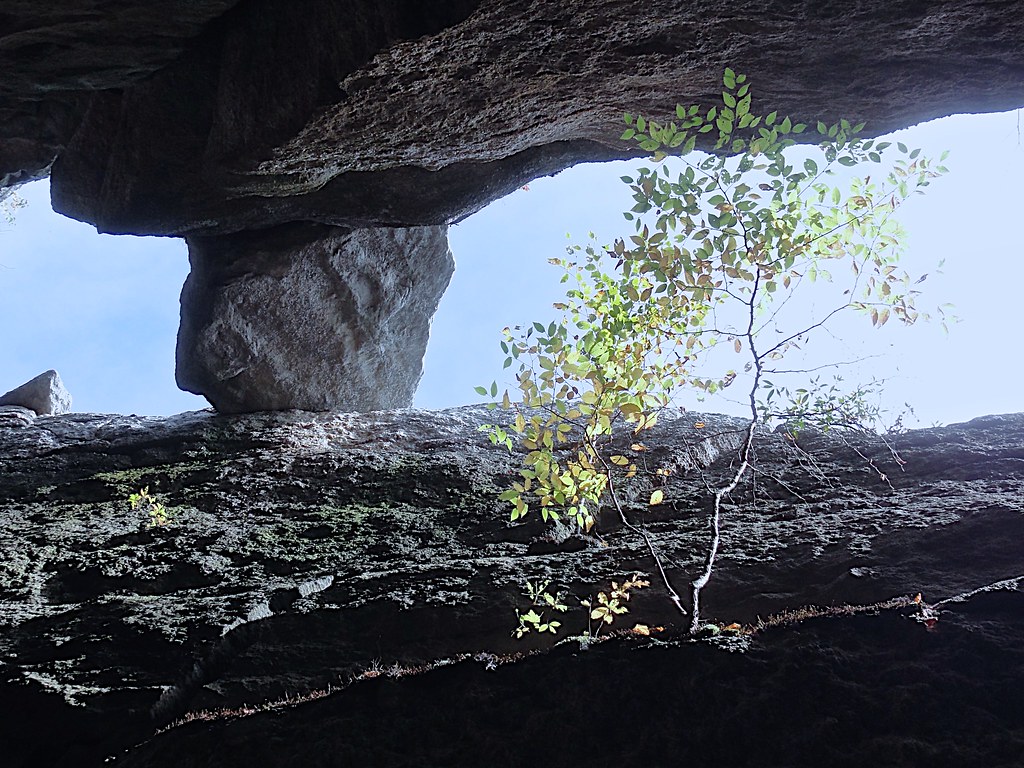
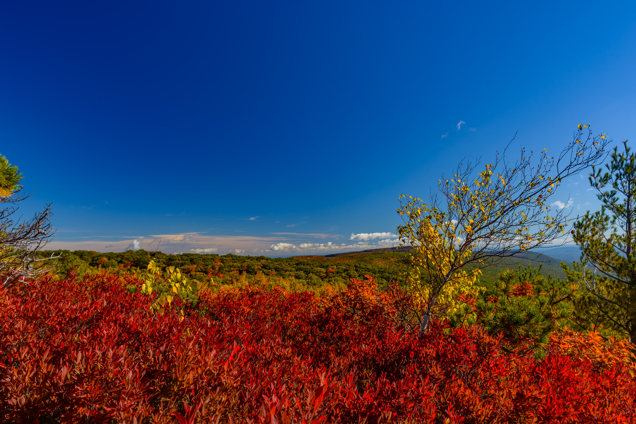
Rock Window View
Abandoned but not forgotten by the light
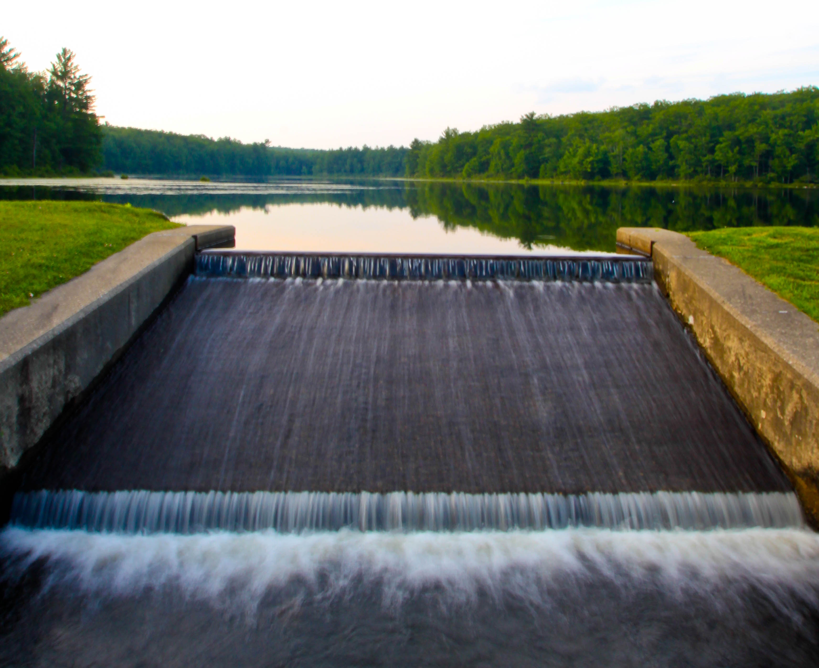
Freedom To Flow
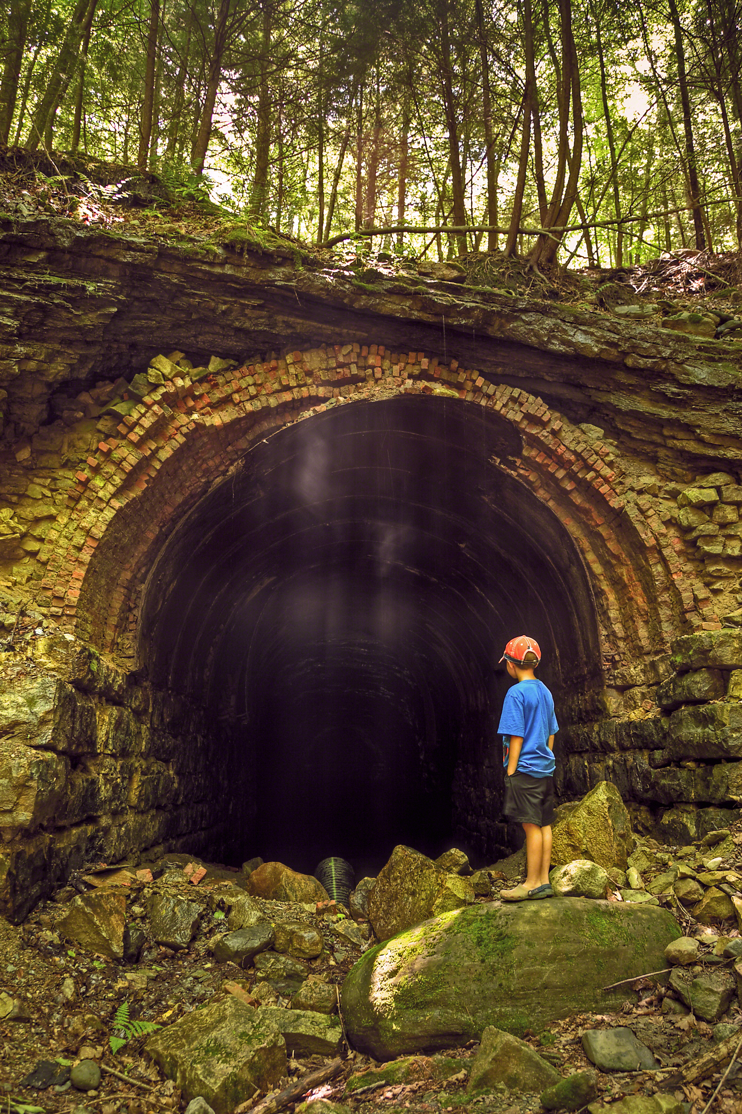
The Forgotten Tunnel
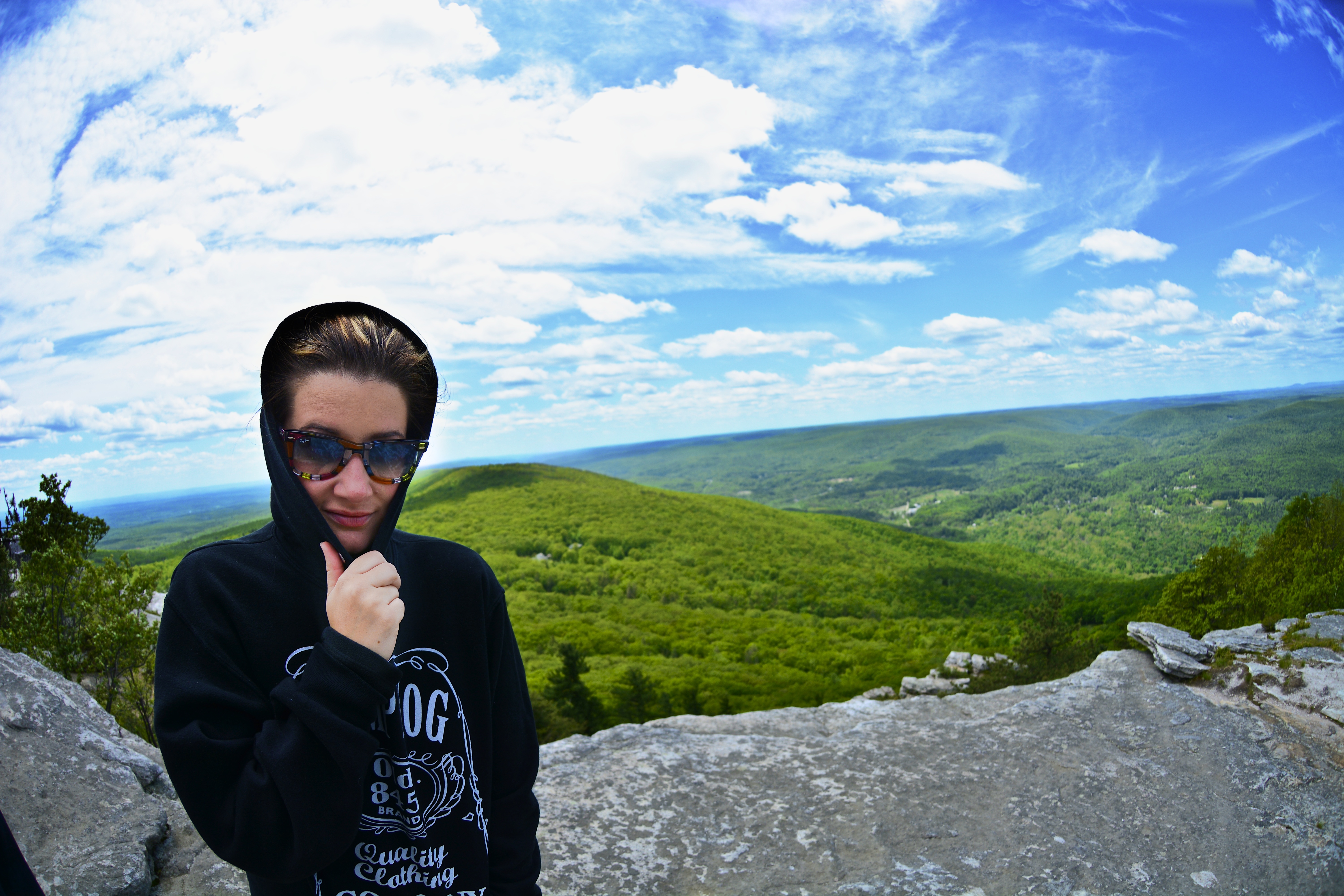
Fish eye 1
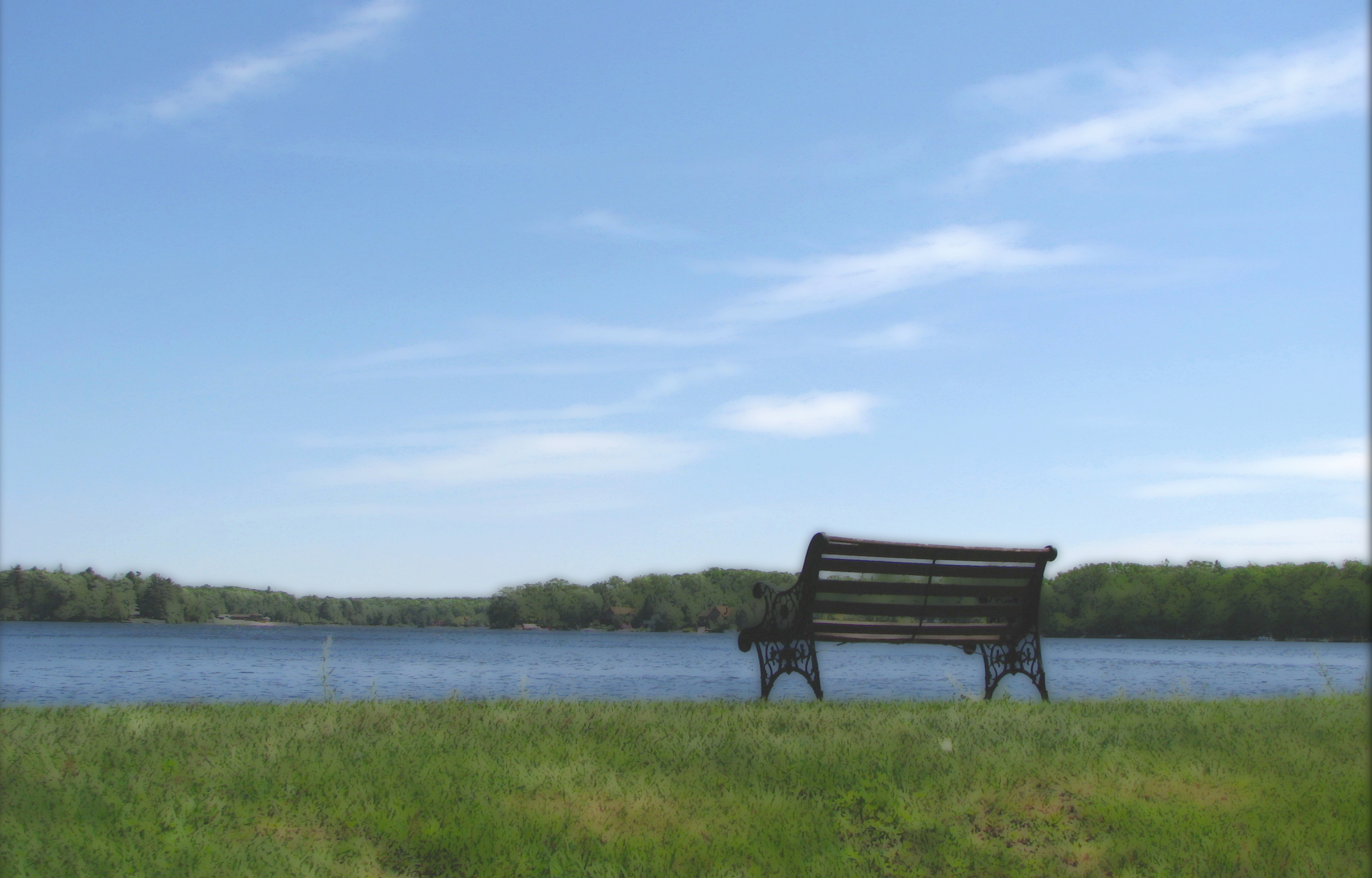
A Place To Sit
The view from my cousin's new house
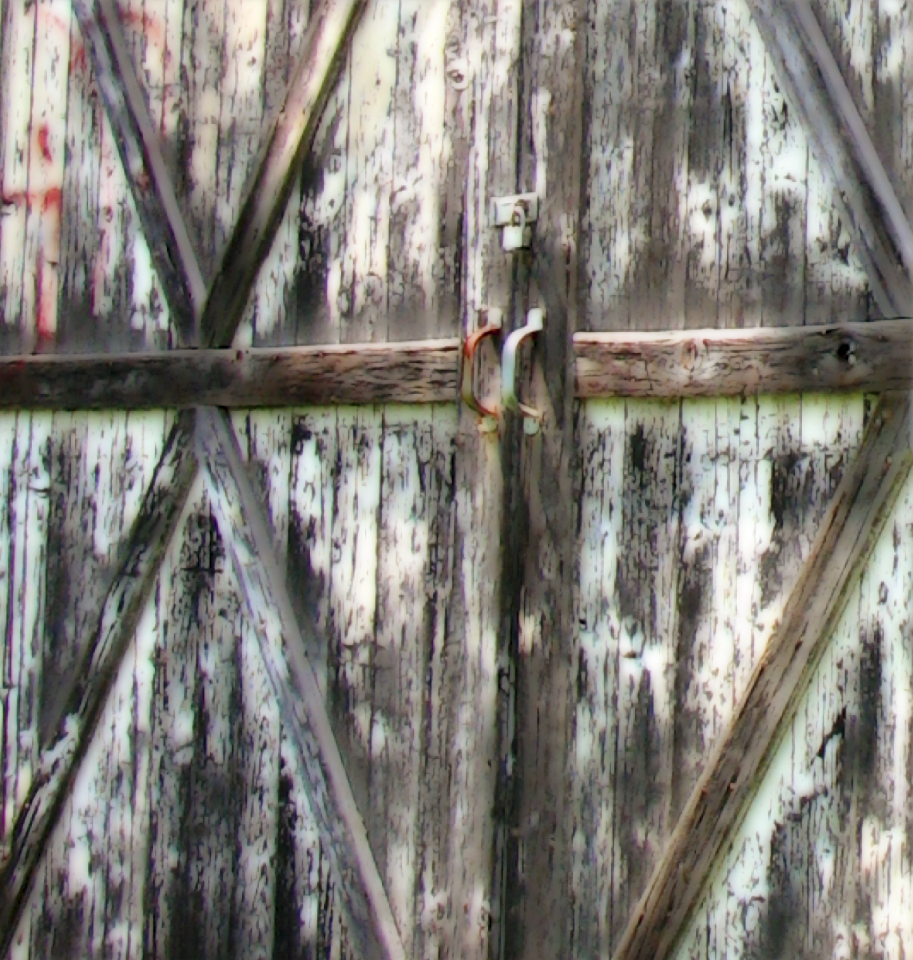
Barn Door Handles
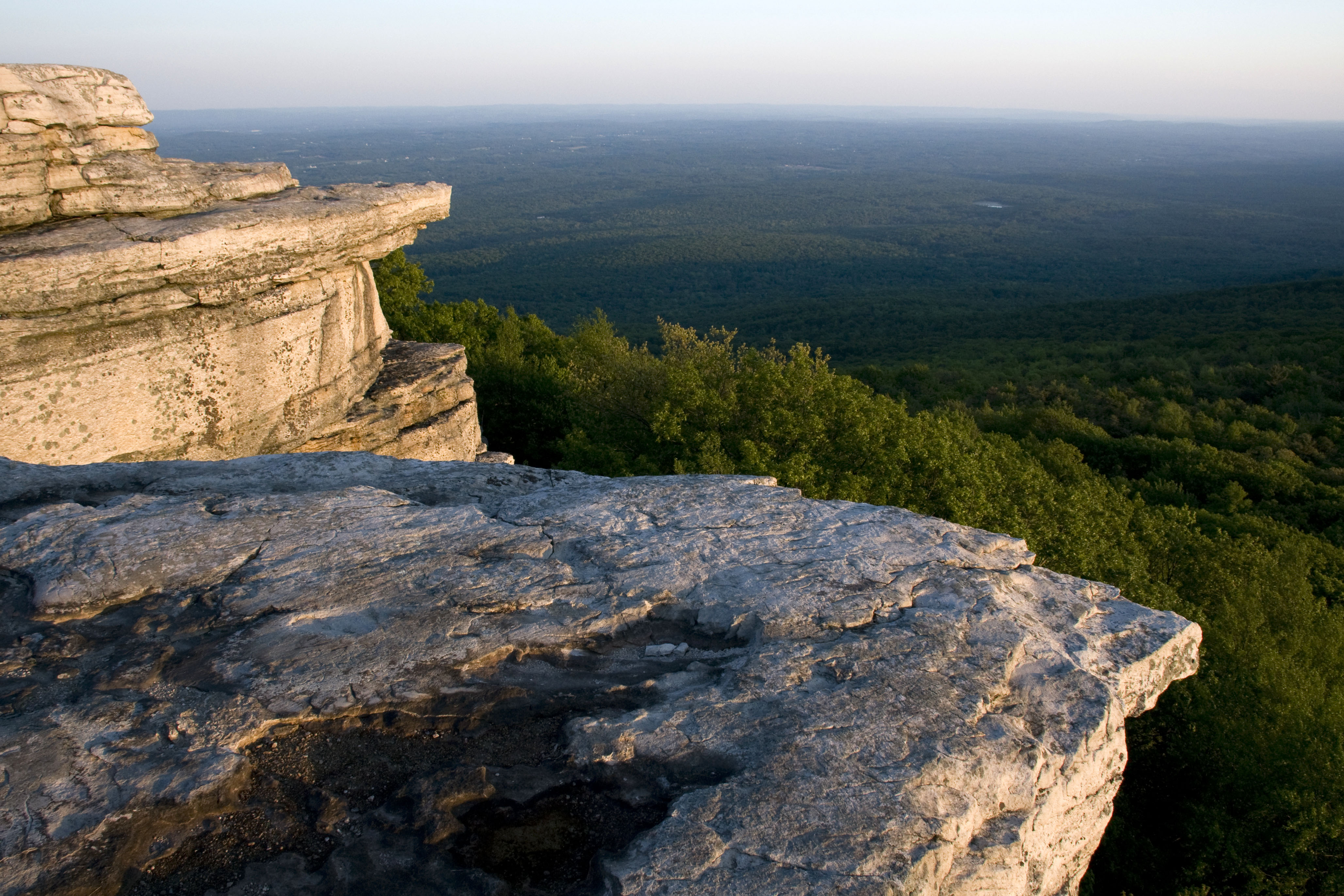
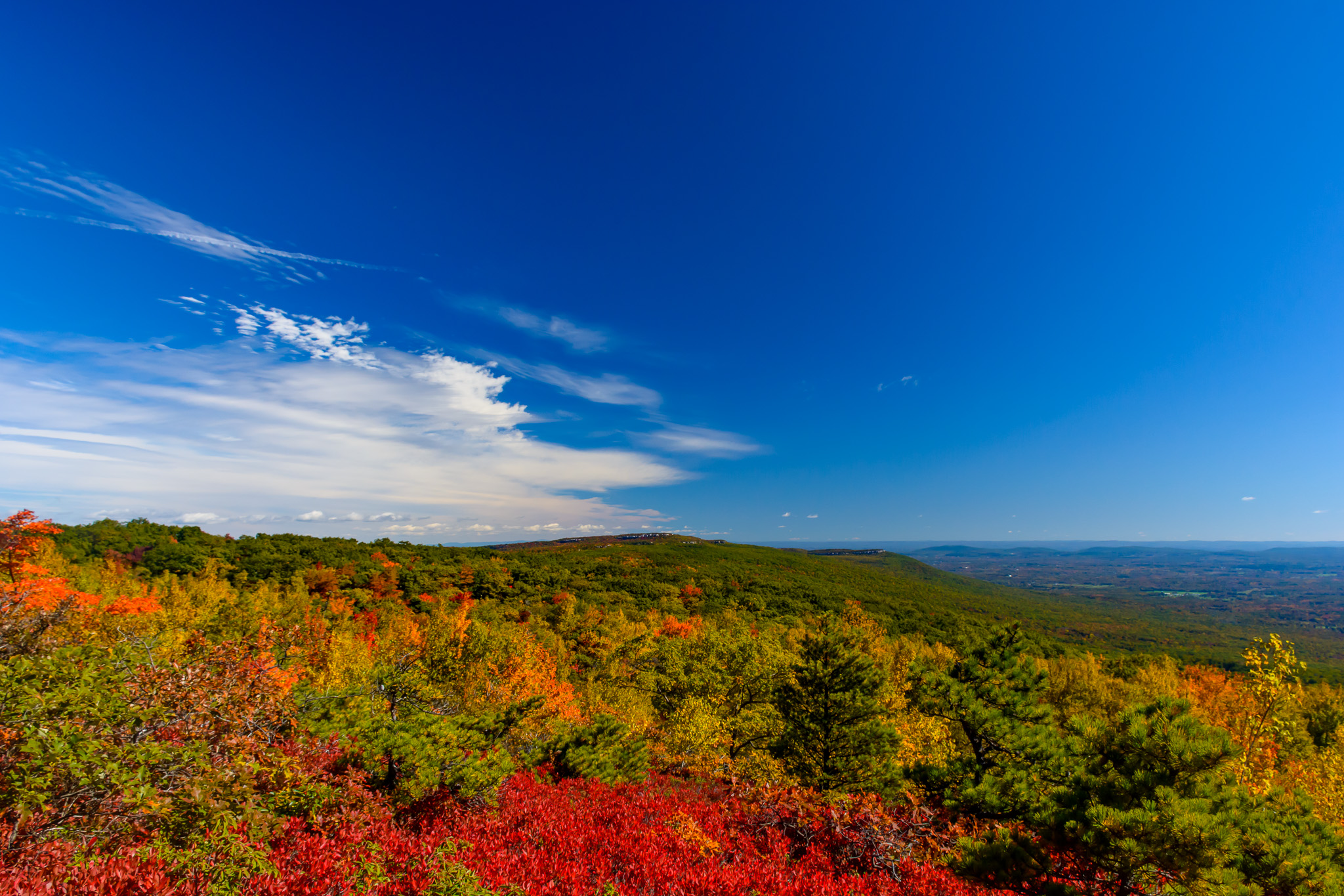
Sam's Point

Around Lock 20 D&H Canal
Minnewaska State Park
Minnewaska State Park

Huckleberrys In Bloom
Huckleberrys In Bloom
Rock Hill

sun in the mirror
Samspointae 3005
VerKeerderkill Falls
Falls Edge
The Creek by the Cabin
Top of Falls

DSC_5290.jpg

2012-06-02 at 14-27-53
Dwarf Pines in the Fog
Morning Glow
Hike to Lake Awosting
Topographic Map of Roosa Gap and Pleasant Valley Rd, Bloomingburg, NY, USA
Find elevation by address:

Places near Roosa Gap and Pleasant Valley Rd, Bloomingburg, NY, USA:
90 Shawanga Lodge Rd
Plank Road
210 Echo Rd
694 Roosa Gap Rd
Shawanga Lodge Road
Berentsen's Campground
93 Burlingham Rd
25 Shelley Ln
468 Shawanga Lodge Rd
Summitville Rd, Wurtsboro, NY, USA
Horton Road
Grandview Drive
195 Cox Rd
64 Grandview Dr
Burlingham, NY, USA
11 Jeronimo Ct
494 Walker Valley Rd
3 Hamilton Rd, Pine Bush, NY, USA
130 Dunthorne Dr
200 Ny-17k
Recent Searches:
- Elevation of Congressional Dr, Stevensville, MD, USA
- Elevation of Bellview Rd, McLean, VA, USA
- Elevation of Stage Island Rd, Chatham, MA, USA
- Elevation of Shibuya Scramble Crossing, 21 Udagawacho, Shibuya City, Tokyo -, Japan
- Elevation of Jadagoniai, Kaunas District Municipality, Lithuania
- Elevation of Pagonija rock, Kranto 7-oji g. 8"N, Kaunas, Lithuania
- Elevation of Co Rd 87, Jamestown, CO, USA
- Elevation of Tenjo, Cundinamarca, Colombia
- Elevation of Côte-des-Neiges, Montreal, QC H4A 3J6, Canada
- Elevation of Bobcat Dr, Helena, MT, USA