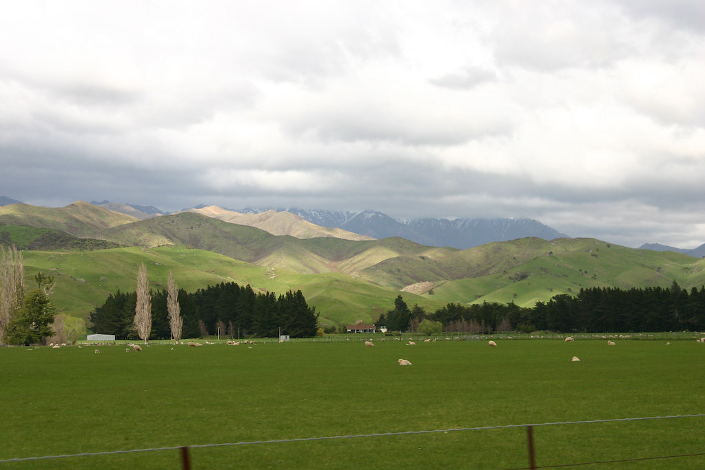
Elevation of Waihopai Valley Road, Waihopai Valley, New Zealand
Location: New Zealand > Marlborough > Waihopai Valley >
Longitude: 173.488726
Latitude: -41.705237
Elevation: 341m / 1119feet
Barometric Pressure: 97KPa
Elevation Map:
Satellite Map:
Related Photos:

K3-070316-039

K3-070316-040

K3-070316-042

K3-070316-041

" Knowing yourself is the beginning of all wisdom. ". -Aristotle

Water and Ice

Sheep at Dusk

Always Wet

Soft Swirl

Soft Flow

New Zealand - 54

New Zealand - 53

New Zealand - 55

Queen Charlotte Track

Queen Charlotte Track
Onderweg naar Tapawera
Topographic Map of Waihopai Valley Road, Waihopai Valley, New Zealand
Find elevation by address:

Places near Waihopai Valley Road, Waihopai Valley, New Zealand:
3279 Waihopai Valley Rd
Marlborough
Marlborough District
Waihopai Valley
Mount Richmond Forest Park
Mount Richmond
Tapuae-o-ueneku
63/594 State Hwy
12 Mcisaac Pl
Renwick
Red Hill
229 Jacksons Rd
Awatere Valley
Cloudy Bay Vineyards
Nelson
11 Olympus Way
Stoke
2 Brookside
Crown Terrace
Rapaura
Recent Searches:
- Elevation of Vista Blvd, Sparks, NV, USA
- Elevation of 15th Ave SE, St. Petersburg, FL, USA
- Elevation of Beall Road, Beall Rd, Florida, USA
- Elevation of Leguwa, Nepal
- Elevation of County Rd, Enterprise, AL, USA
- Elevation of Kolchuginsky District, Vladimir Oblast, Russia
- Elevation of Shustino, Vladimir Oblast, Russia
- Elevation of Lampiasi St, Sarasota, FL, USA
- Elevation of Elwyn Dr, Roanoke Rapids, NC, USA
- Elevation of Congressional Dr, Stevensville, MD, USA