Elevation map of Marlborough, New Zealand
Location: New Zealand >
Longitude: 173.421661
Latitude: -41.57269
Elevation: 479m / 1572feet
Barometric Pressure: 96KPa
Elevation Map:
Satellite Map:
Related Photos:

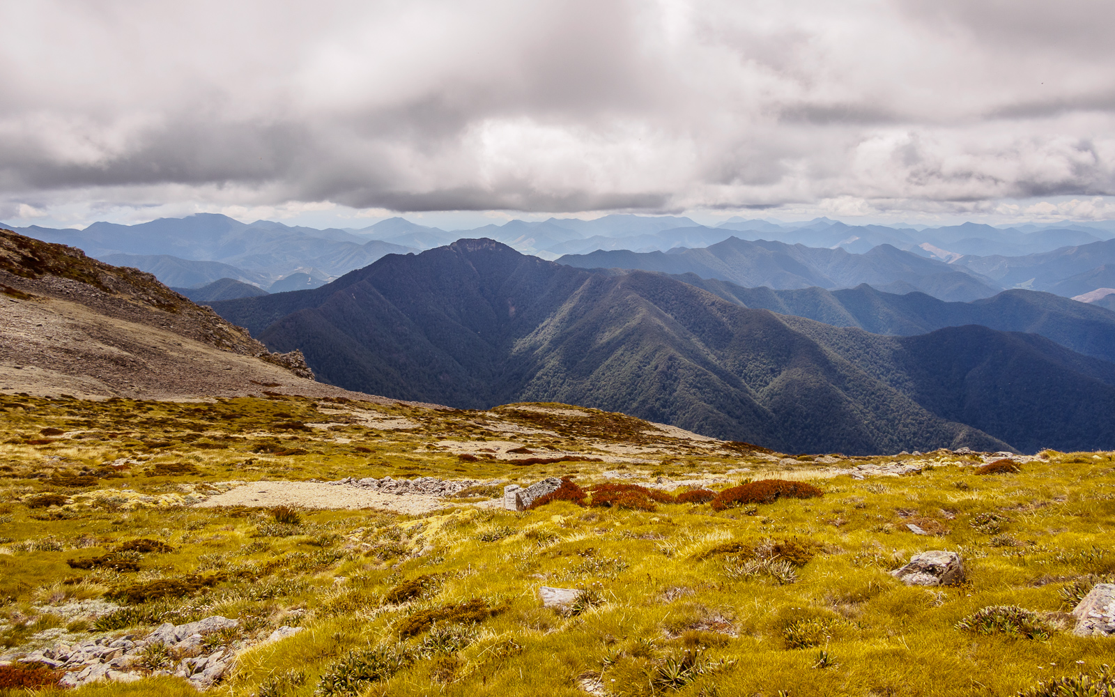
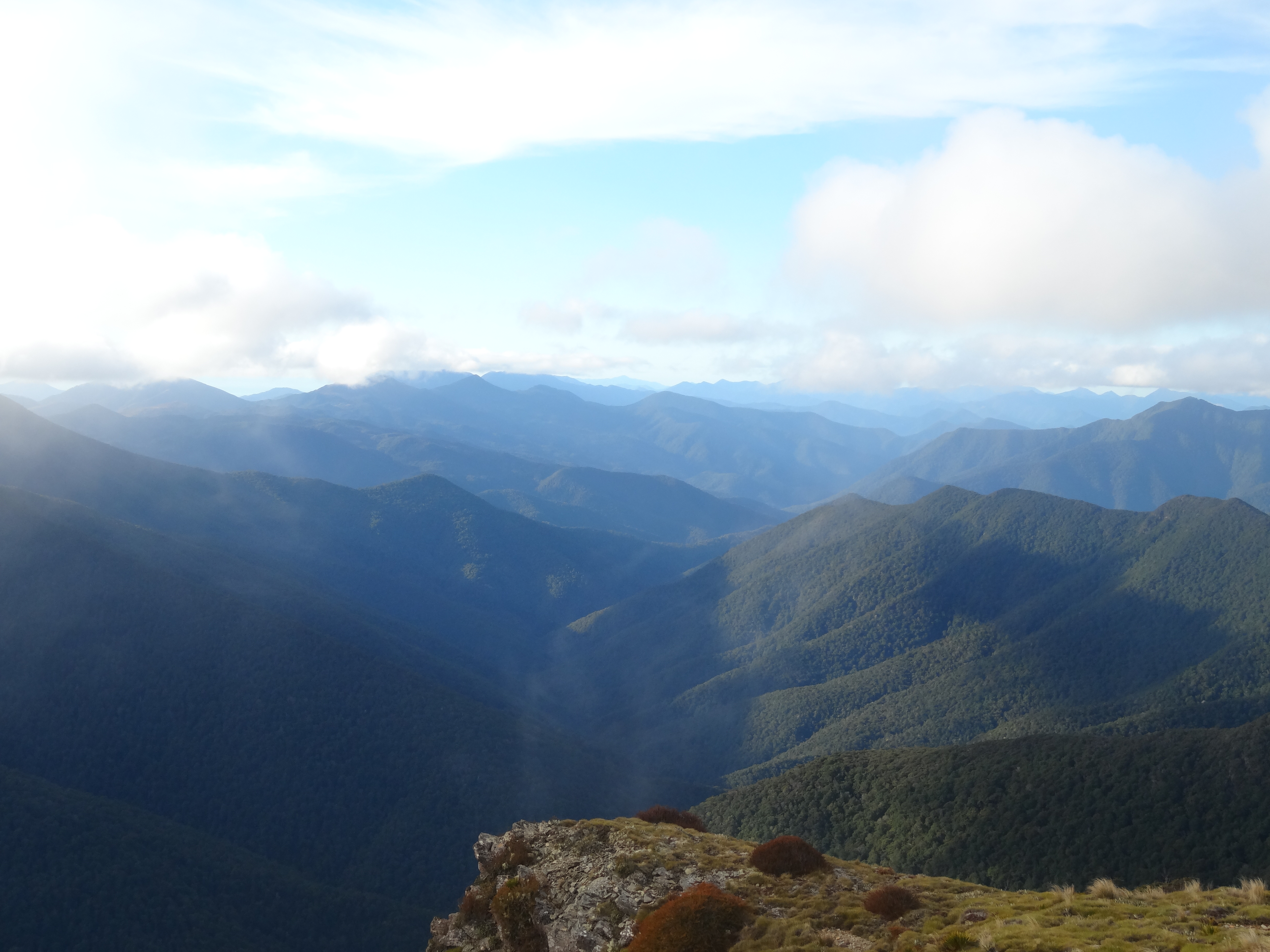
View north toward Mount Richmond
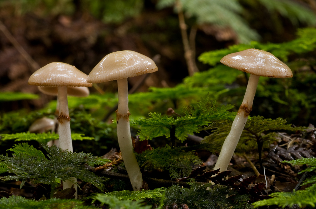
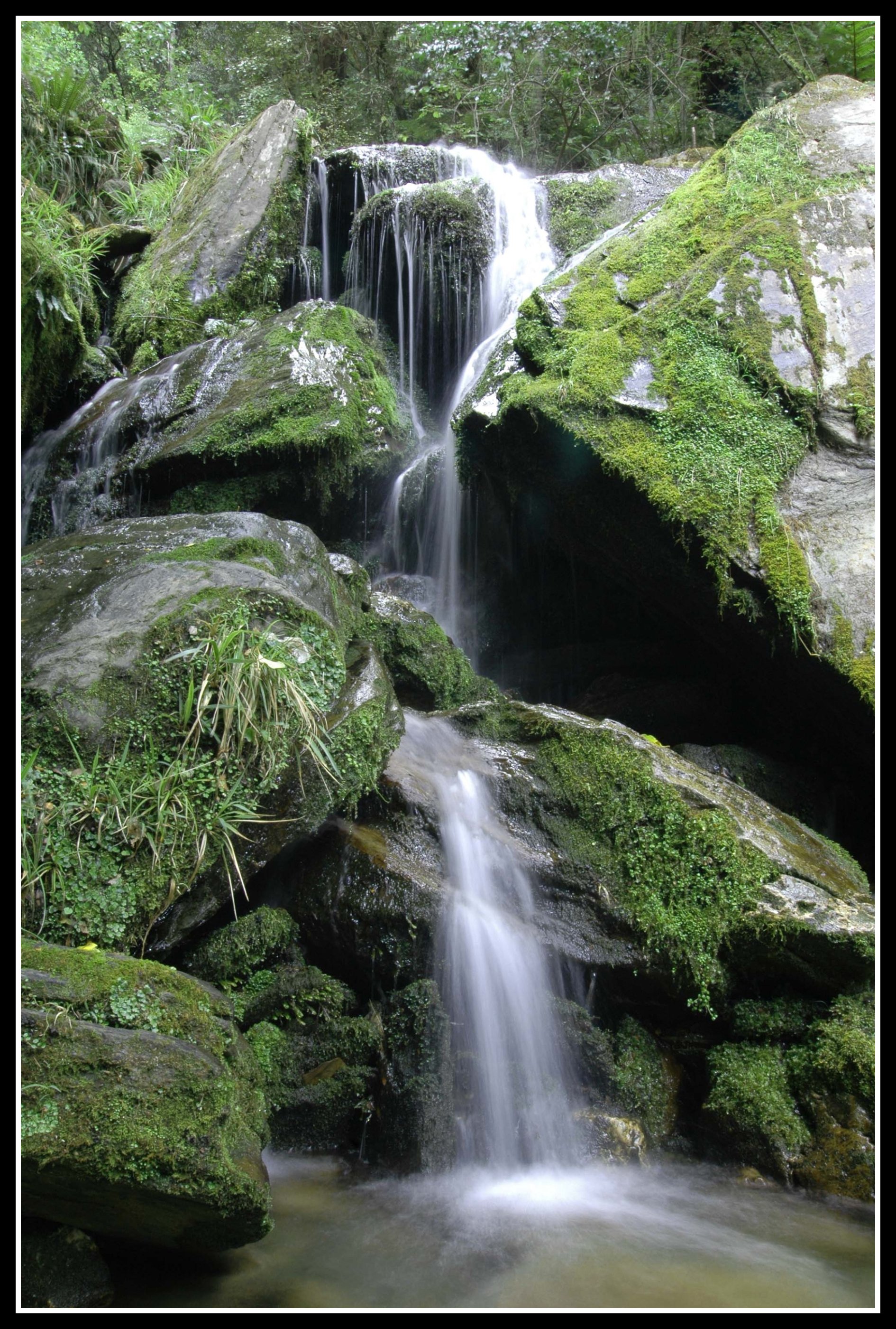
Amongst the moss

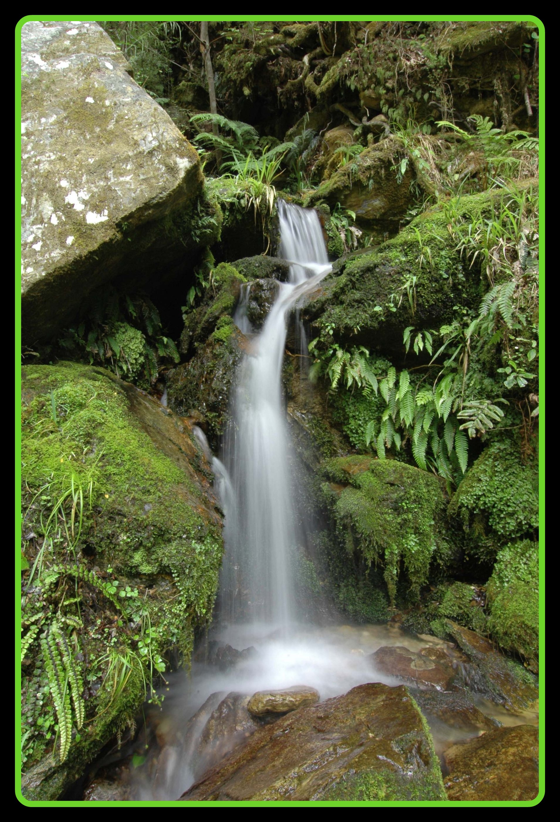
Pine valley waterfall
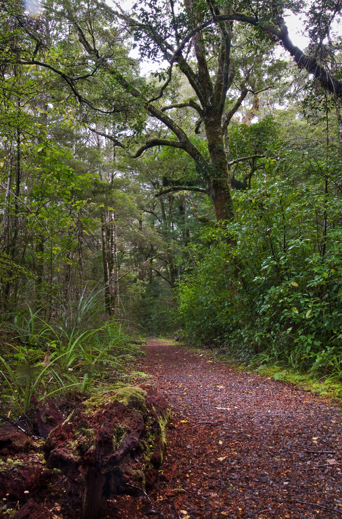
Pine valley track
bush Waterfall
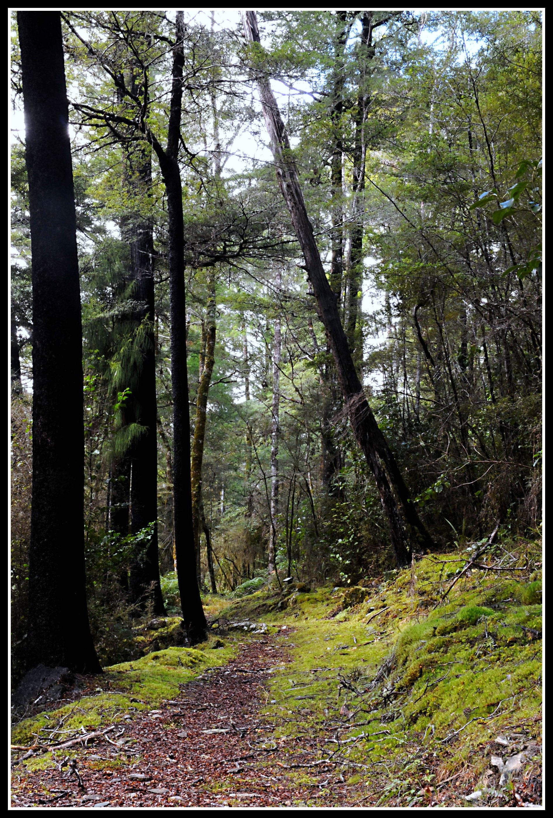
Native bush
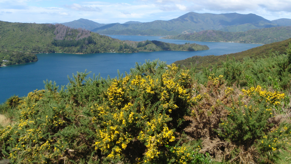
Richmond Range, Marlborough, New Zealand
New Zealand - 54
New Zealand - 53

New Zealand - 55
Onderweg naar Tapawera
Queen Charlotte Track
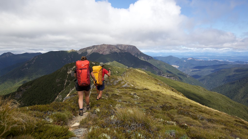
Richmon Range Alpine Track 32
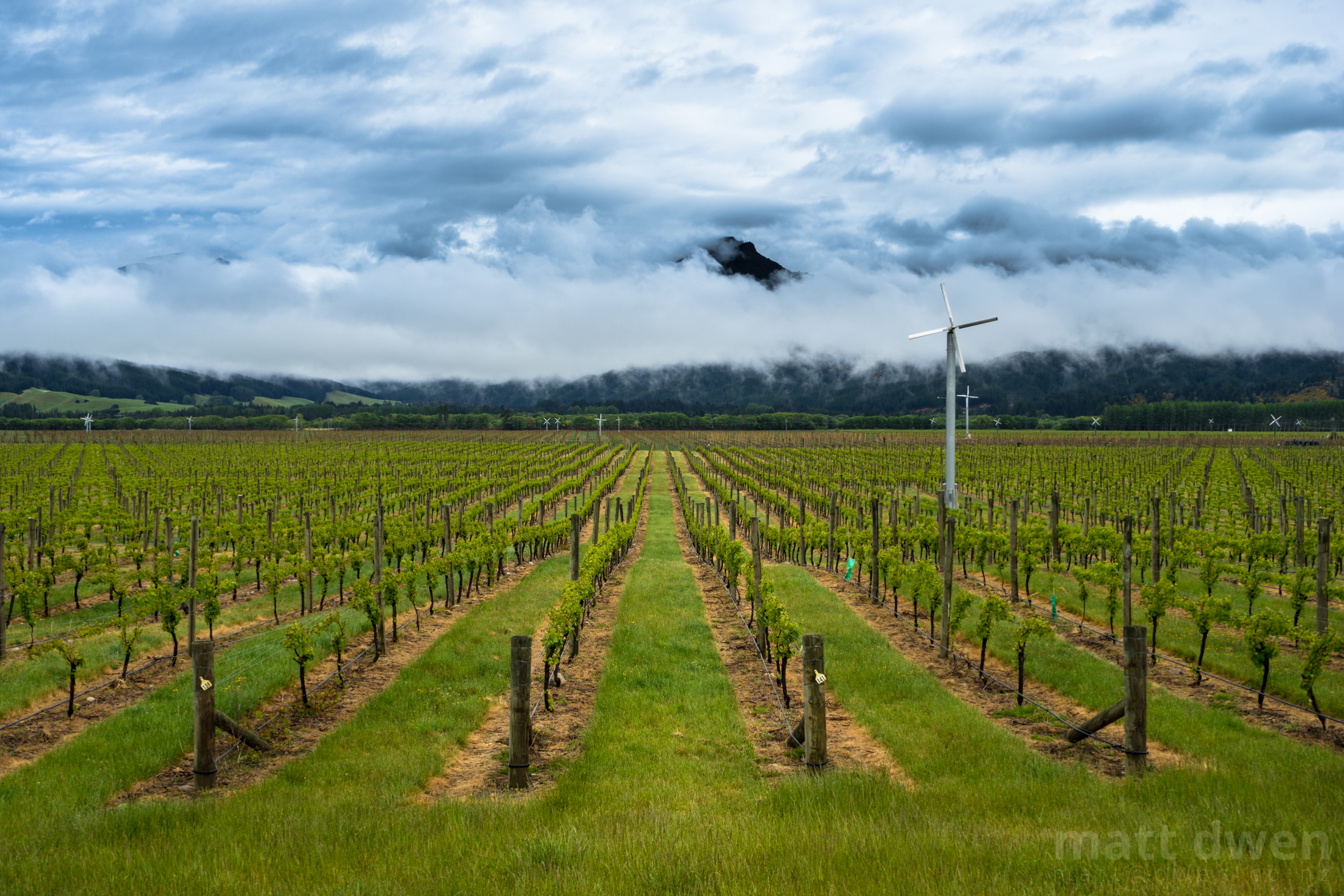
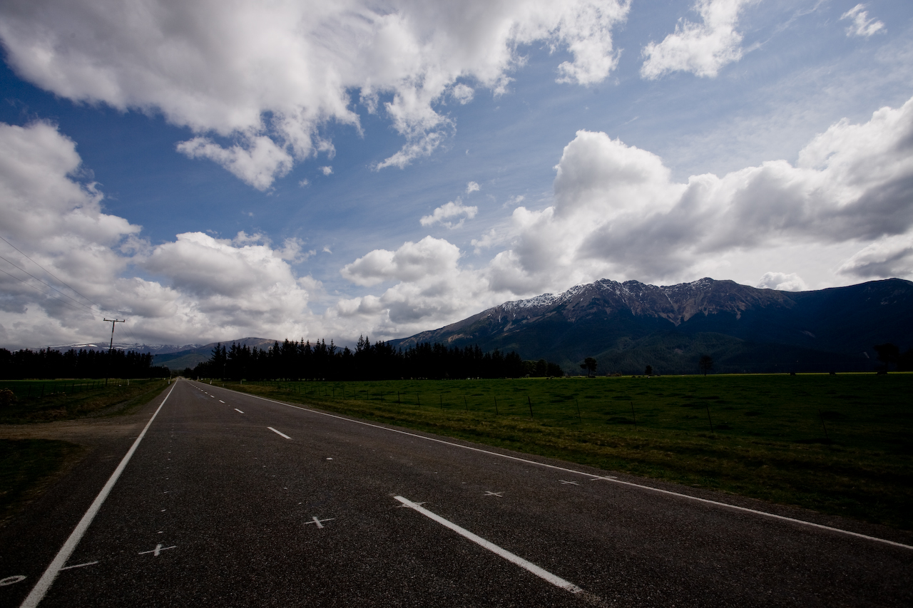
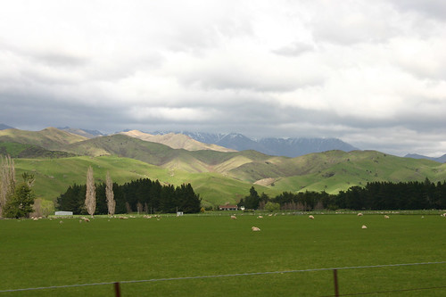
Wairau Valley
Over the top of Old Man
Falling Water
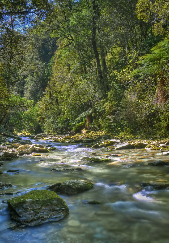
Mountain stream
Onderweg naar Tapawera
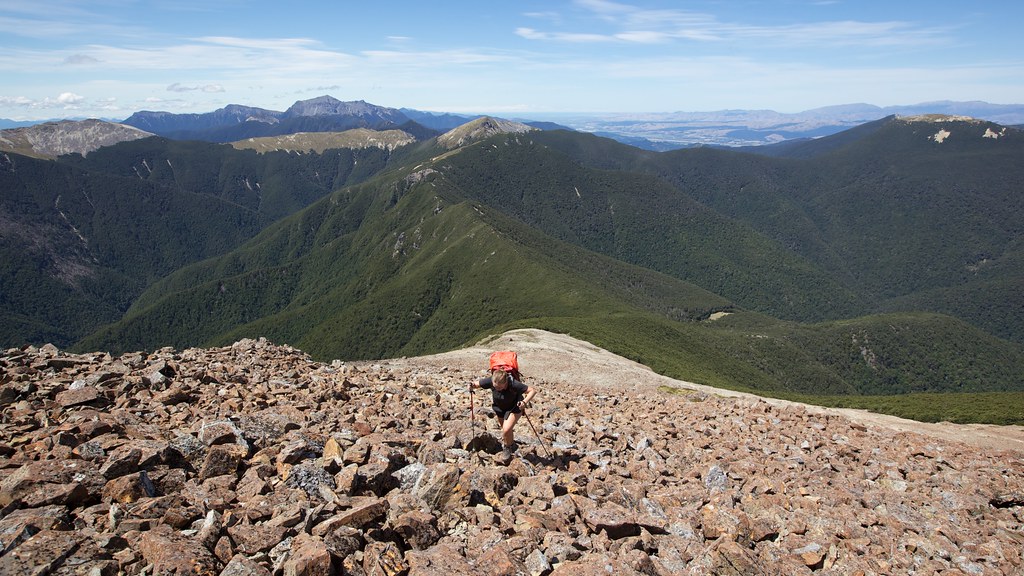
Boulder Field climb up Little Rintoul
Onderweg naar Tapawera
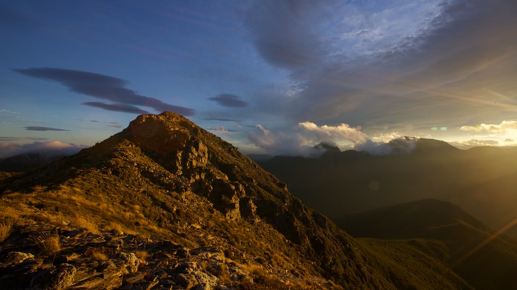
Slaty Peak at Sunset
Topographic Map of Marlborough, New Zealand
Find elevation by address:

Places in Marlborough, New Zealand:
Places near Marlborough, New Zealand:
Marlborough District
Mount Richmond Forest Park
Mount Richmond
3803 Waihopai Valley Road
3279 Waihopai Valley Rd
Waihopai Valley
Nelson
Stoke
2 Brookside
11 Olympus Way
Crown Terrace
372 Trafalgar Square
111 Aldinga Avenue
1/240 Trafalgar Street
1 Bella Grove Way
2 Bella Grove Way
30 Atawhai Dr
Nelson
33 Atawhai Dr
31a Atawhai Dr
Recent Searches:
- Elevation of Corso Fratelli Cairoli, 35, Macerata MC, Italy
- Elevation of Tallevast Rd, Sarasota, FL, USA
- Elevation of 4th St E, Sonoma, CA, USA
- Elevation of Black Hollow Rd, Pennsdale, PA, USA
- Elevation of Oakland Ave, Williamsport, PA, USA
- Elevation of Pedrógão Grande, Portugal
- Elevation of Klee Dr, Martinsburg, WV, USA
- Elevation of Via Roma, Pieranica CR, Italy
- Elevation of Tavkvetili Mountain, Georgia
- Elevation of Hartfords Bluff Cir, Mt Pleasant, SC, USA