Elevation of Wahpeton, ND, USA
Location: United States > North Dakota > Richland County >
Longitude: -96.605907
Latitude: 46.2652367
Elevation: 294m / 965feet
Barometric Pressure: 98KPa
Elevation Map:
Satellite Map:
Related Photos:
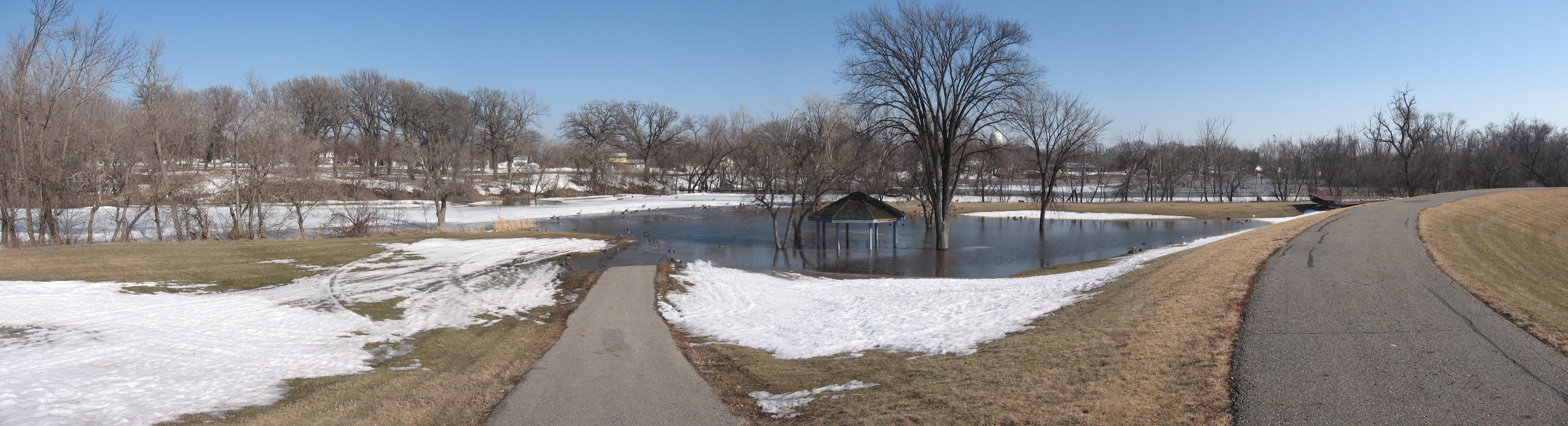
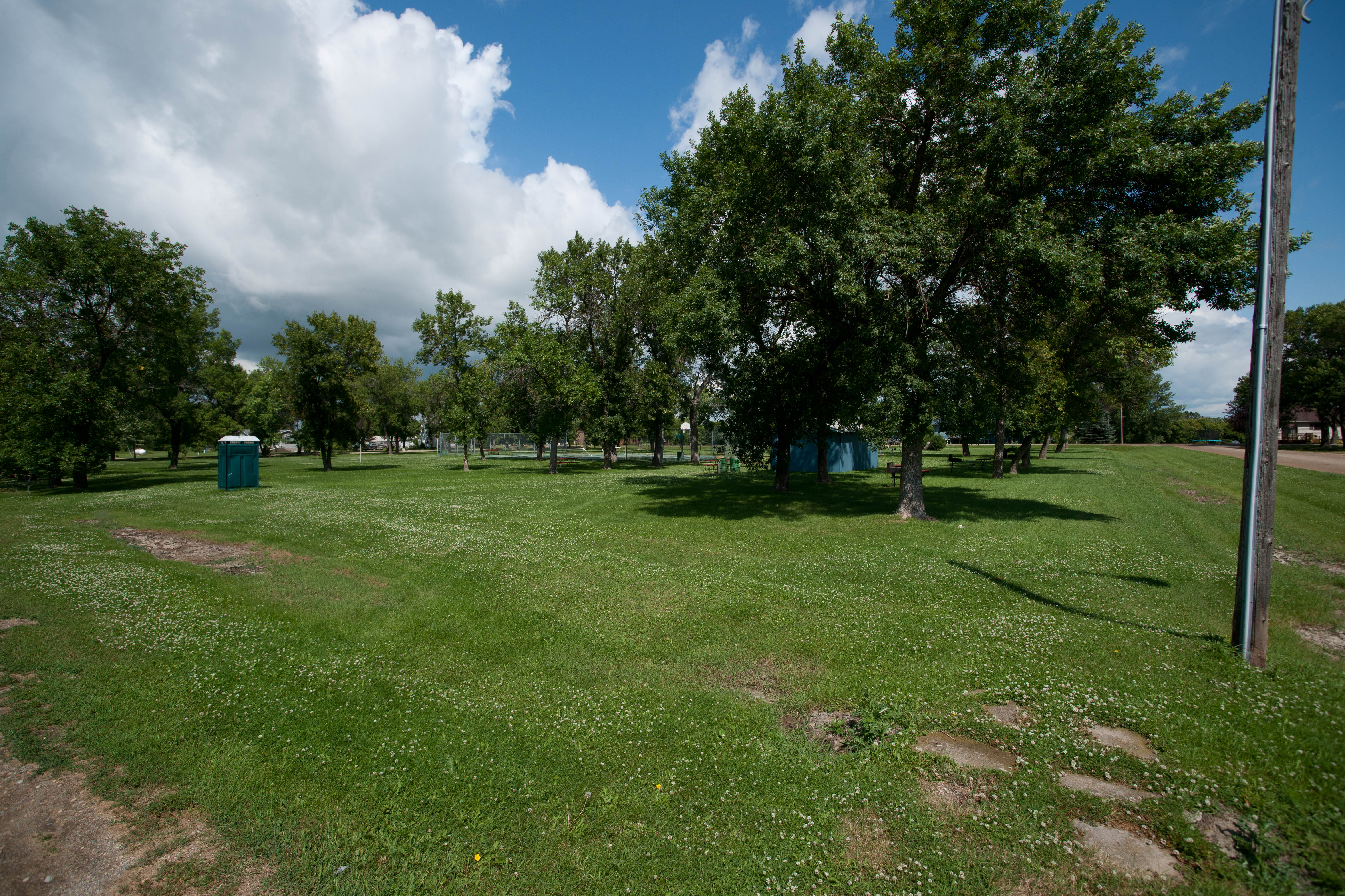
Running path and shelter
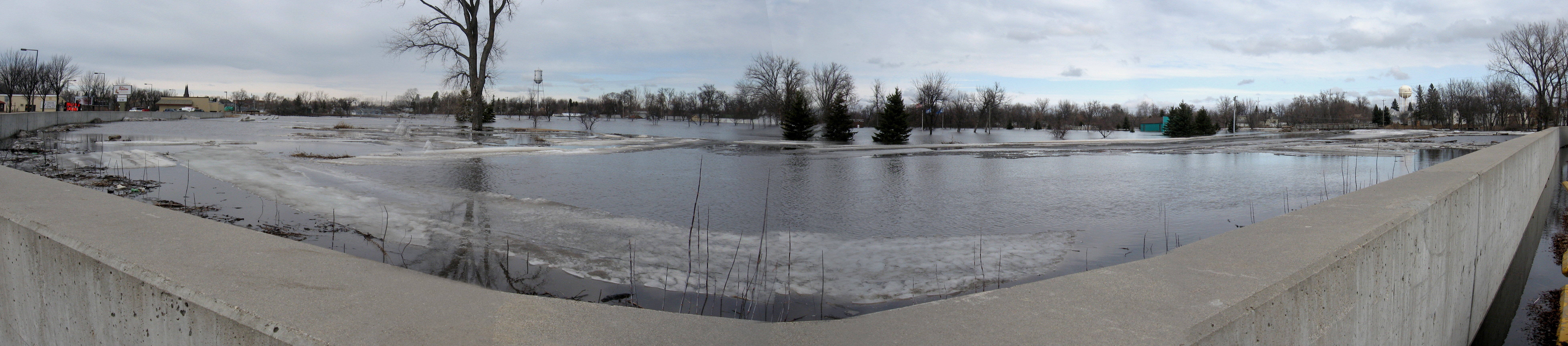
Red River by golf couse

Central School
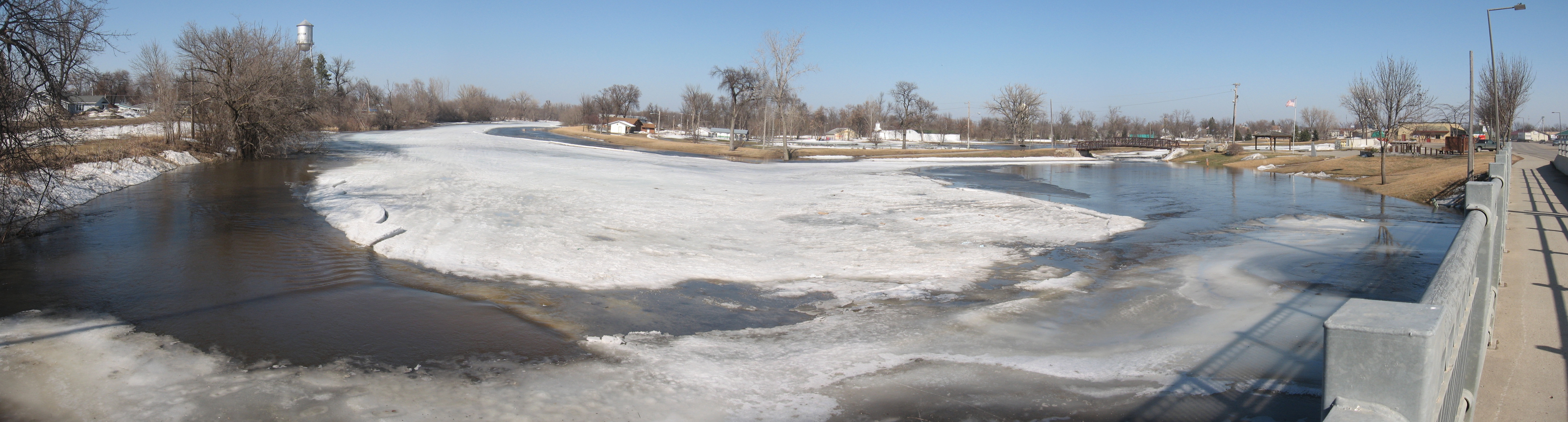
River wall
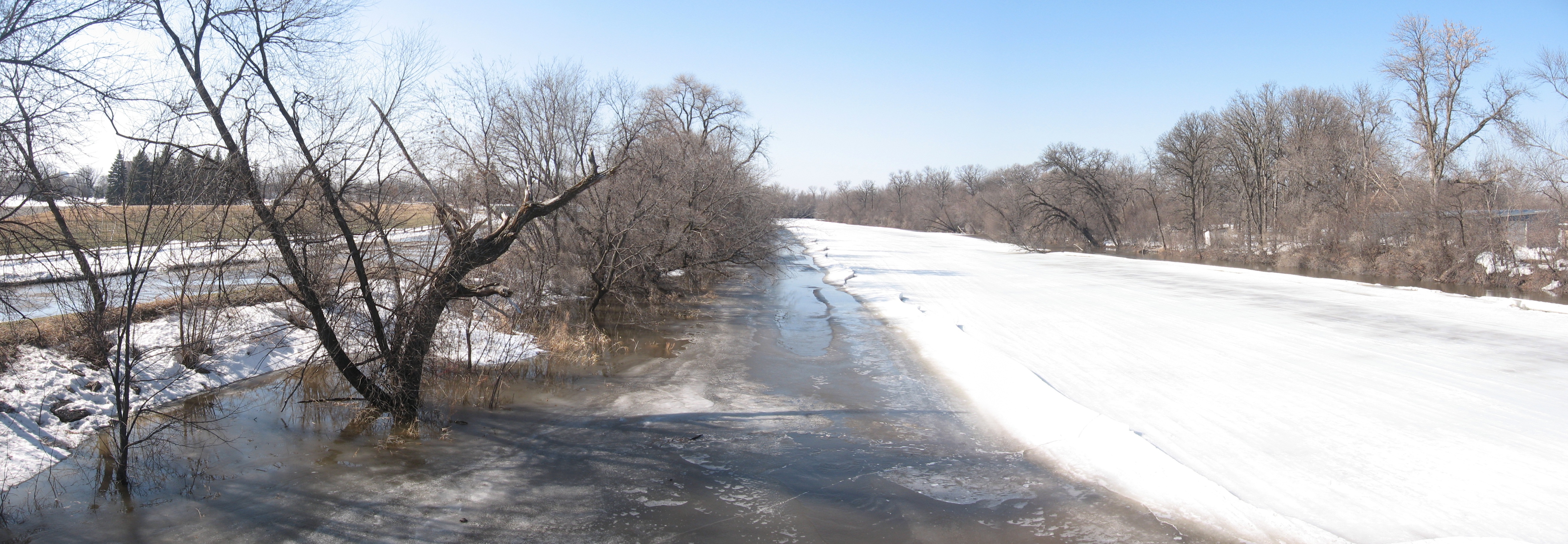
Red River headwaters
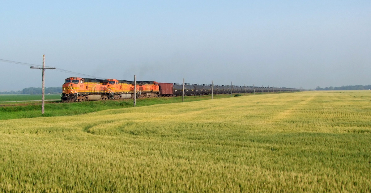
BNSF 4620 @ Breckenridge
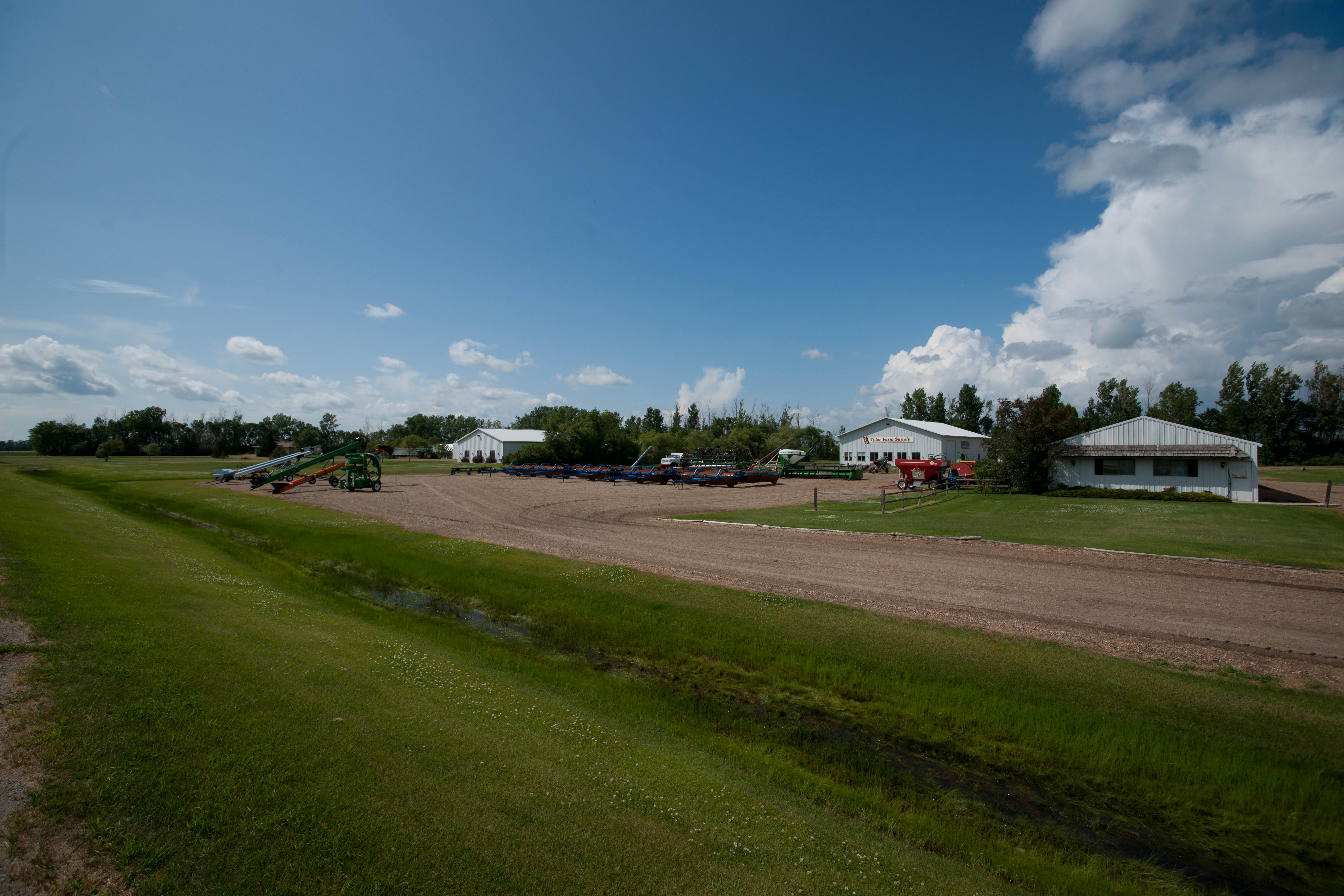
Tyler, North Dakota
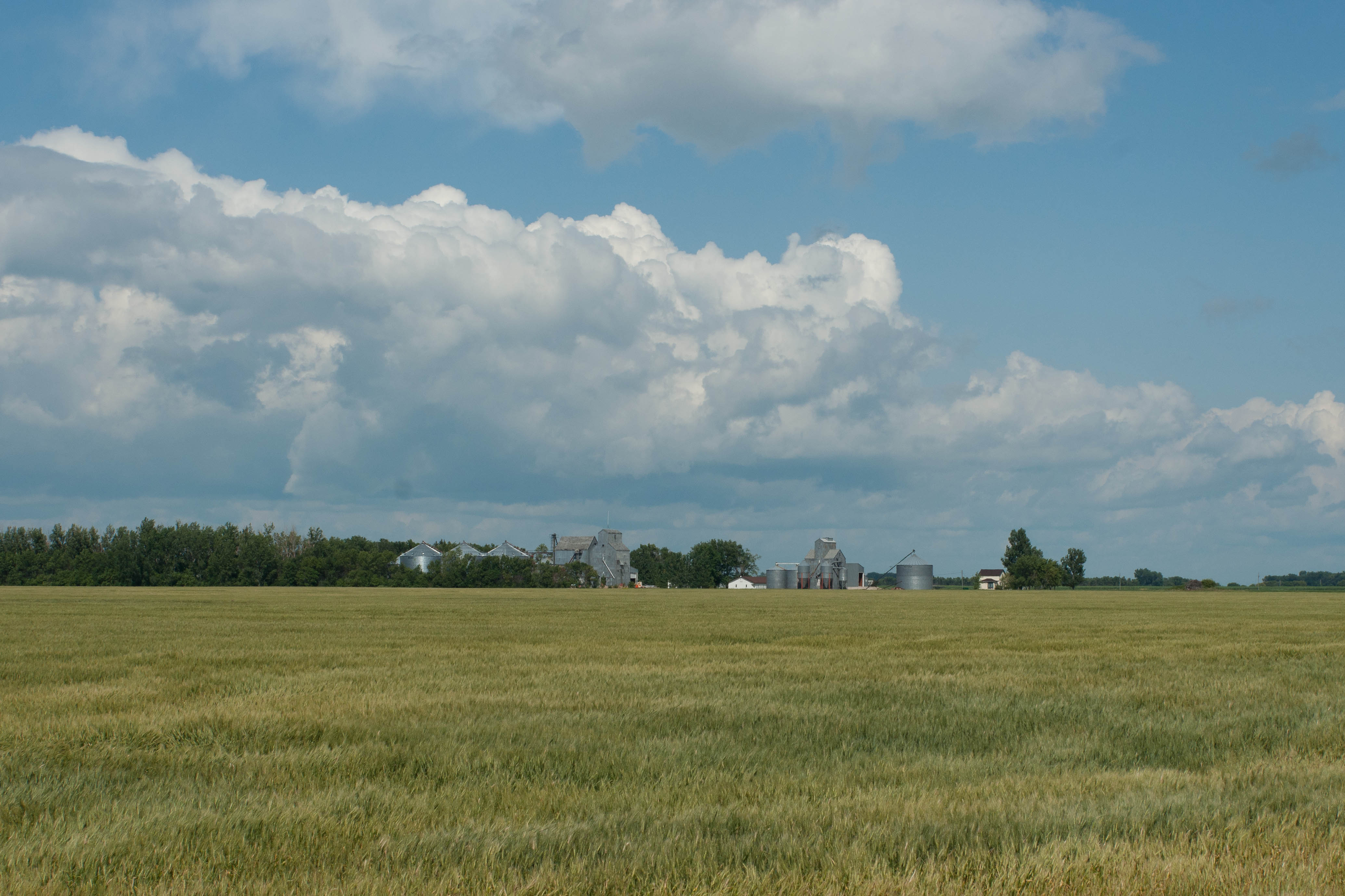
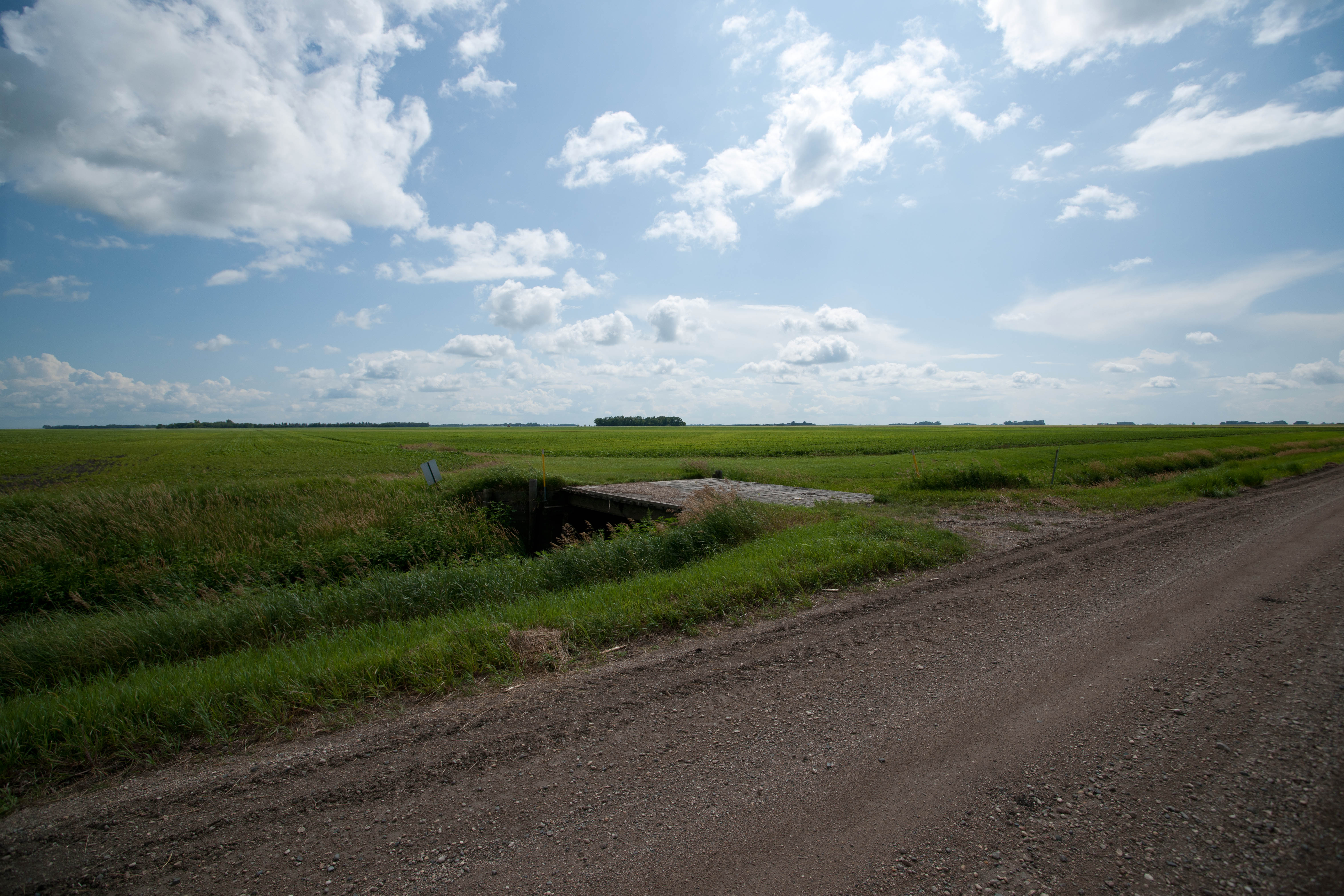
Elmore, North Dakota
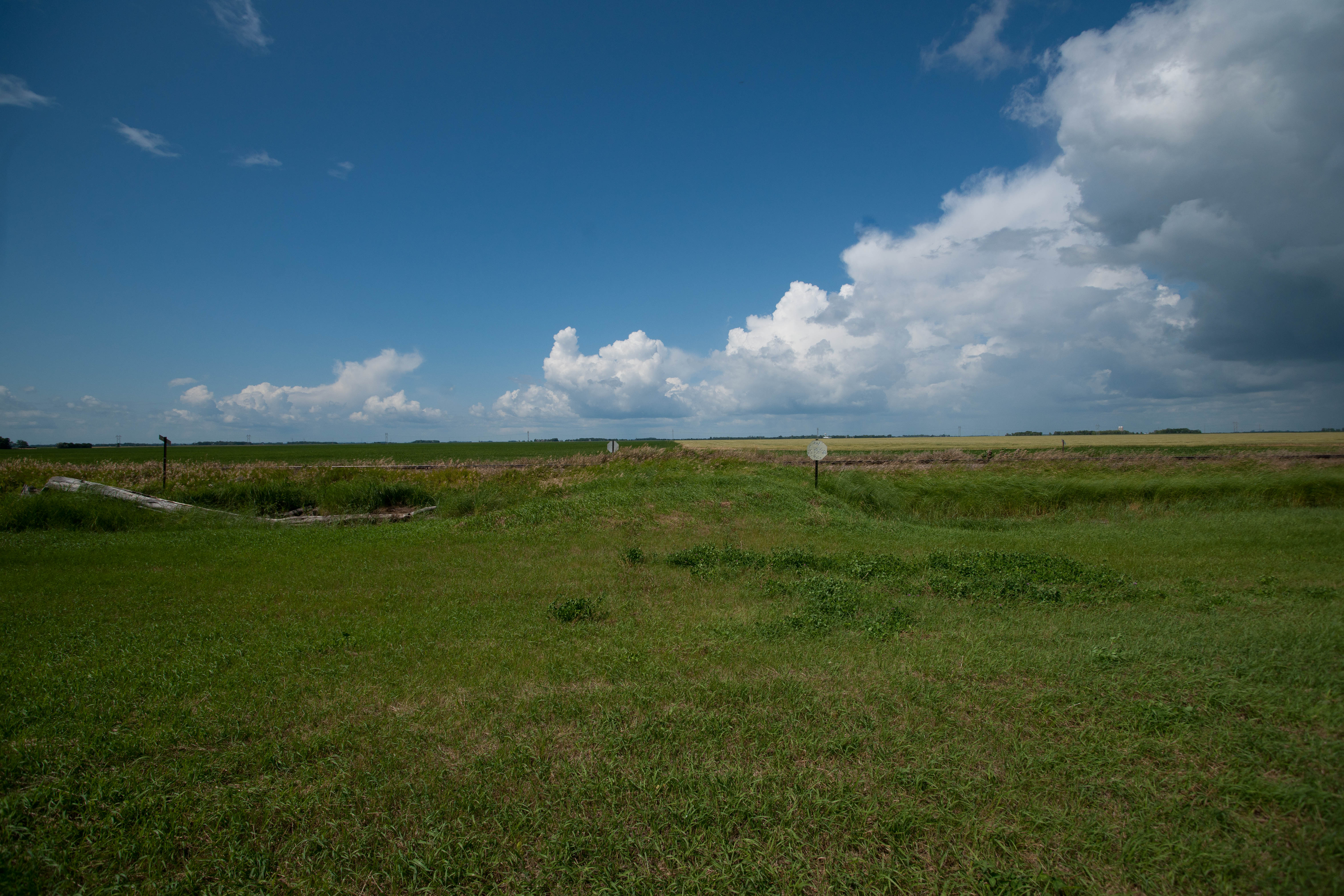
Farmington, North Dakota
Elmore, North Dakota
Tyler, North Dakota
Elmore, North Dakota
Farmington, North Dakota
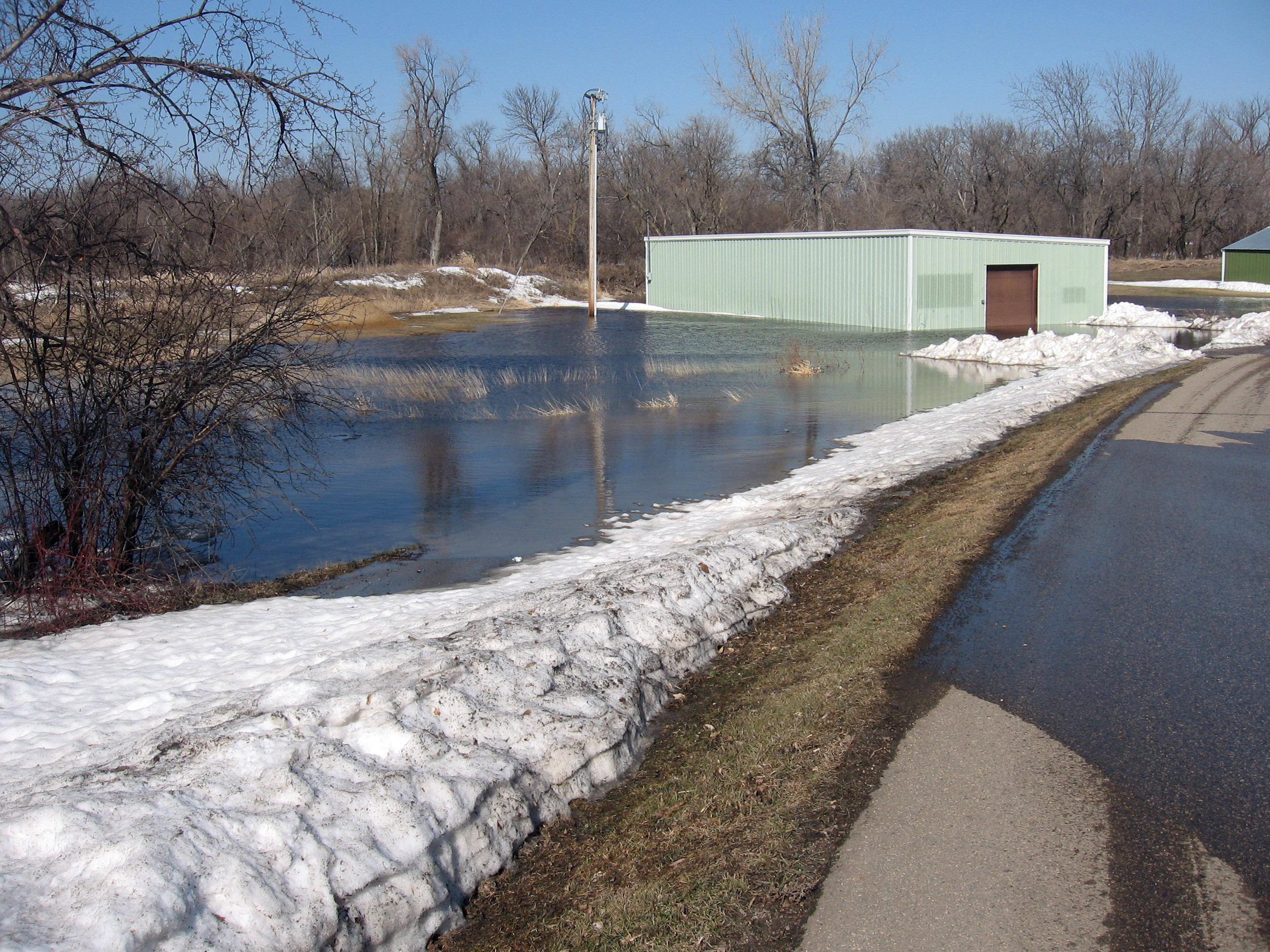
Golf cart shed
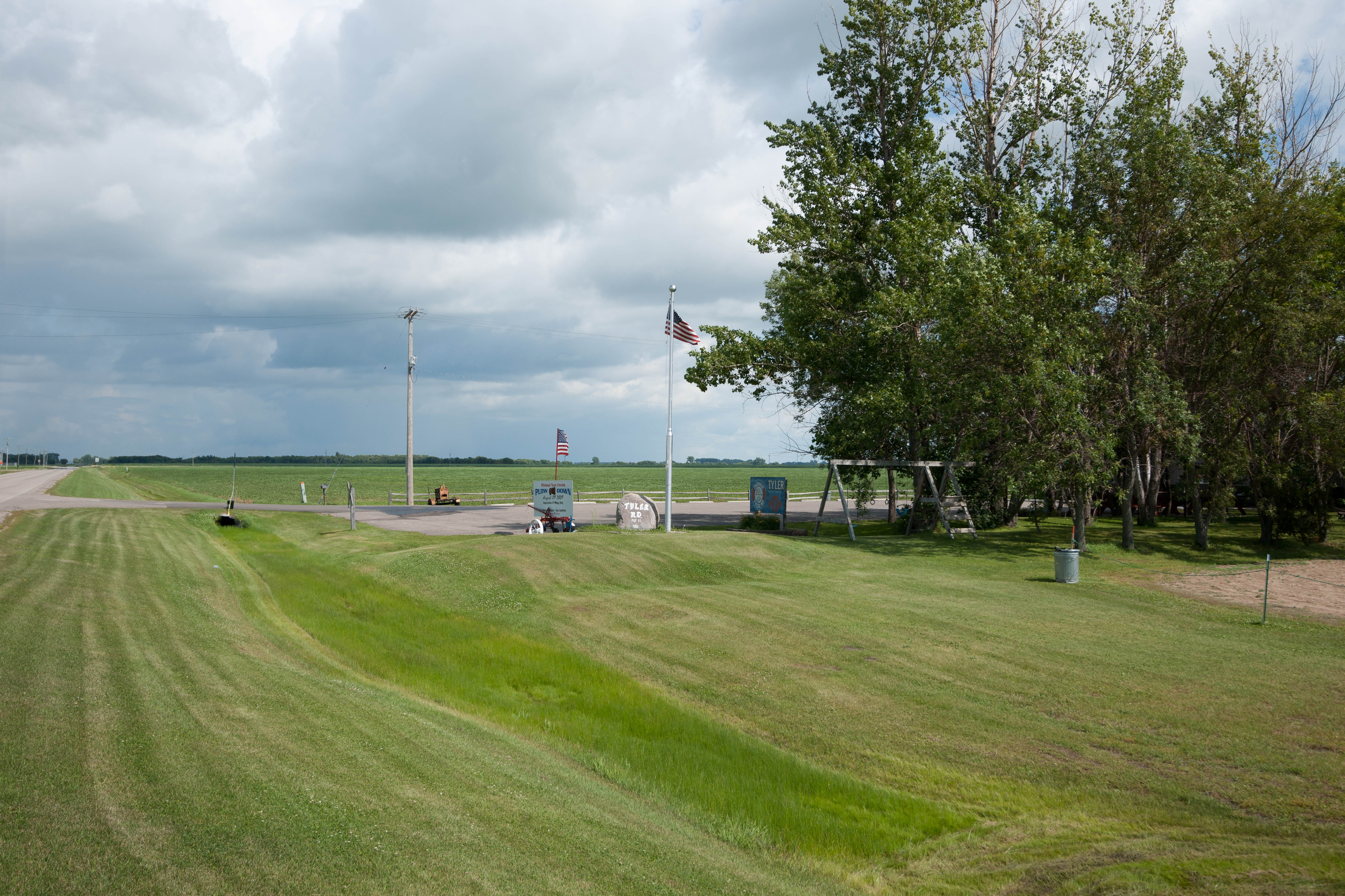
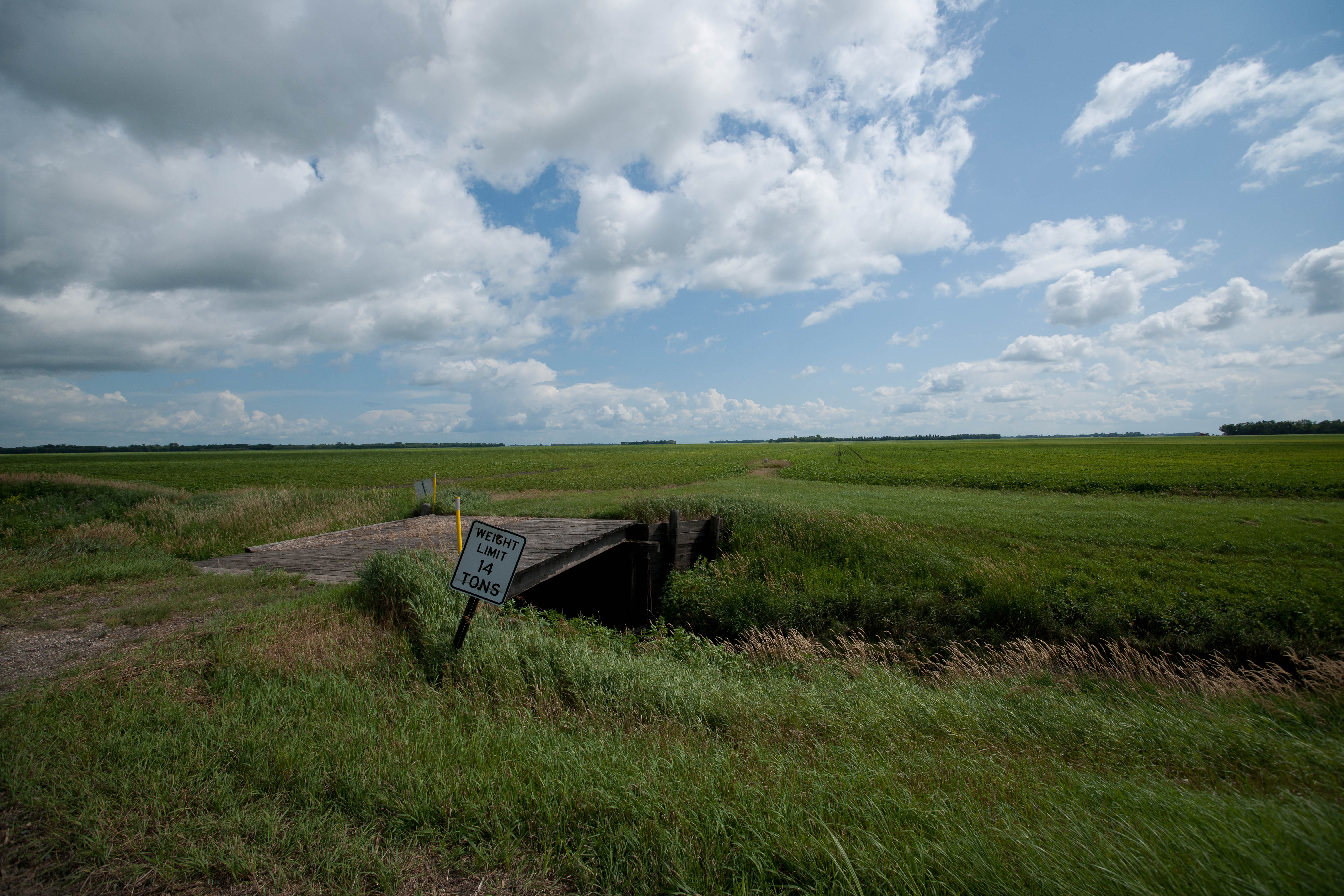
Tyler, North Dakota

.
Dwight, North Dakota
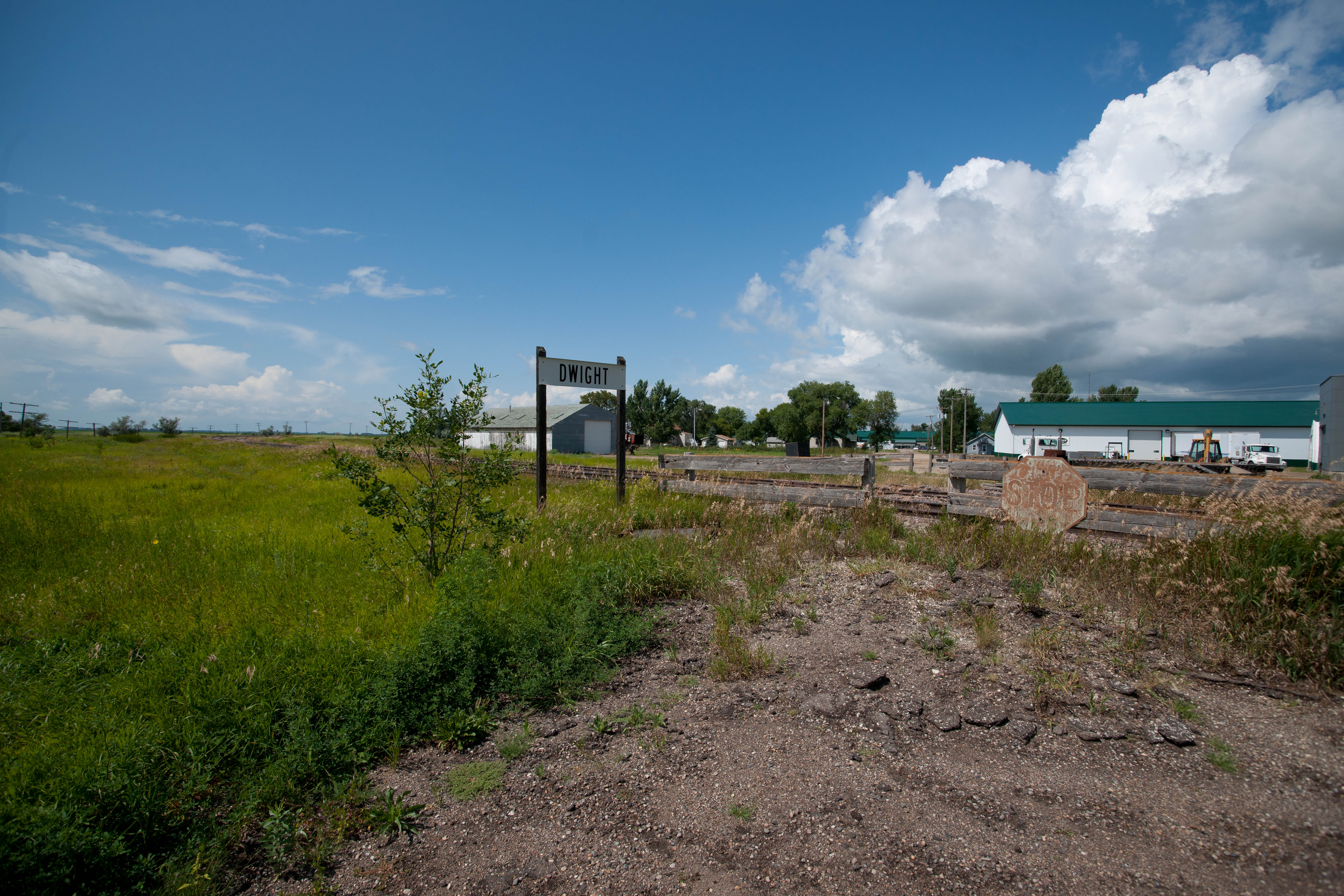
Dwight, North Dakota
Topographic Map of Wahpeton, ND, USA
Find elevation by address:

Places near Wahpeton, ND, USA:
517 7th St N
911 Richland St
Breckenridge
321 17th Ave N
th St, Breckenridge, MN, USA
17993 Co Rd 16
17993 Co Rd 16
17993 Co Rd 16
Summit
Fairmount, ND, USA
17230 Co Rd 16
Devillo
Brandenburg
Campbell
New York Ave, Campbell, MN, USA
Richland County
1st Ave, Nashua, MN, USA
Rosholt
Lien Township
Wheaton
Recent Searches:
- Elevation of Leguwa, Nepal
- Elevation of County Rd, Enterprise, AL, USA
- Elevation of Kolchuginsky District, Vladimir Oblast, Russia
- Elevation of Shustino, Vladimir Oblast, Russia
- Elevation of Lampiasi St, Sarasota, FL, USA
- Elevation of Elwyn Dr, Roanoke Rapids, NC, USA
- Elevation of Congressional Dr, Stevensville, MD, USA
- Elevation of Bellview Rd, McLean, VA, USA
- Elevation of Stage Island Rd, Chatham, MA, USA
- Elevation of Shibuya Scramble Crossing, 21 Udagawacho, Shibuya City, Tokyo -, Japan