Elevation of Rosholt, SD, USA
Location: United States > South Dakota > Roberts County >
Longitude: -96.731463
Latitude: 45.8666263
Elevation: 330m / 1083feet
Barometric Pressure: 97KPa
Elevation Map:
Satellite Map:
Related Photos:
IMG_2888
IMG_2923
Blackmer, North Dakota
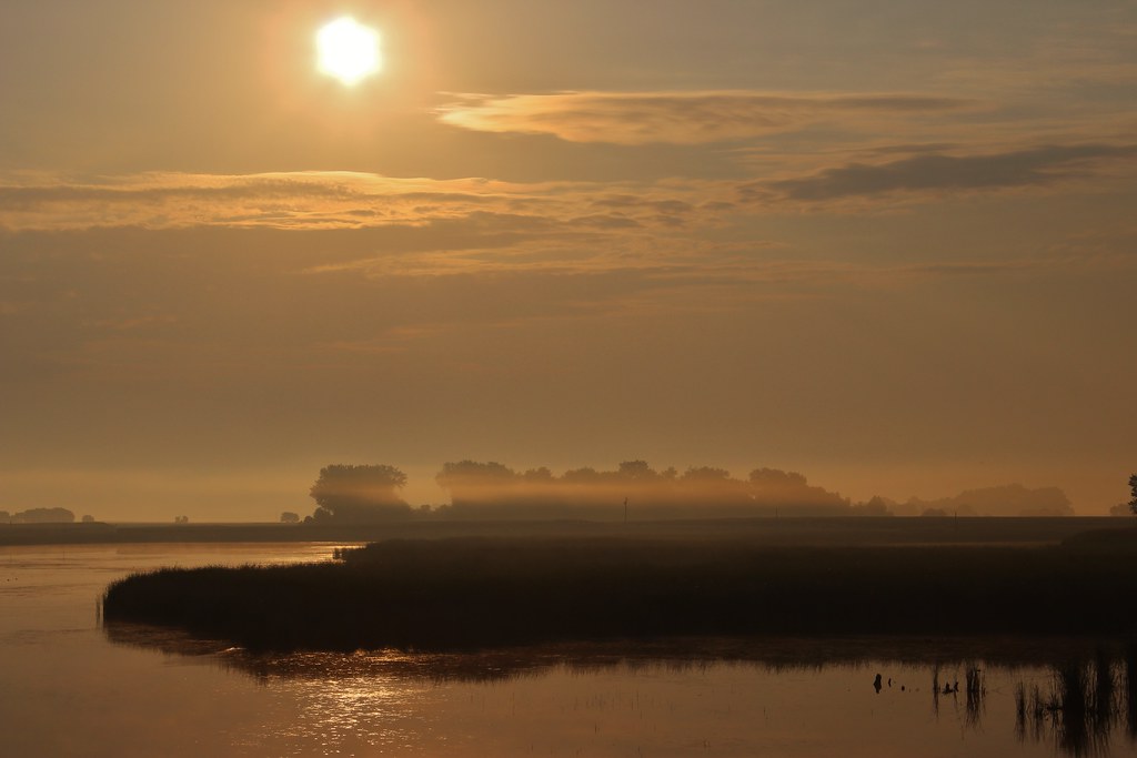
Morning from the road
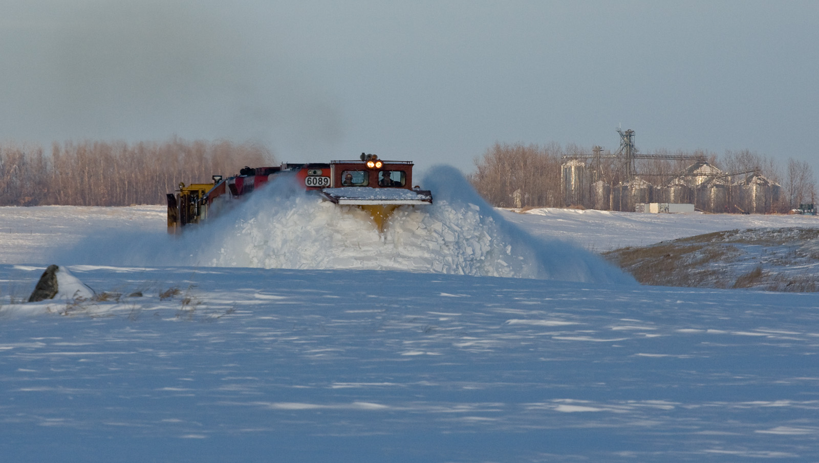
Soo Line Russell at Rosholt, SD
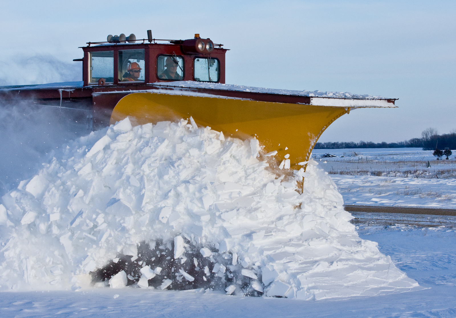
Russell at Rosholt, SD
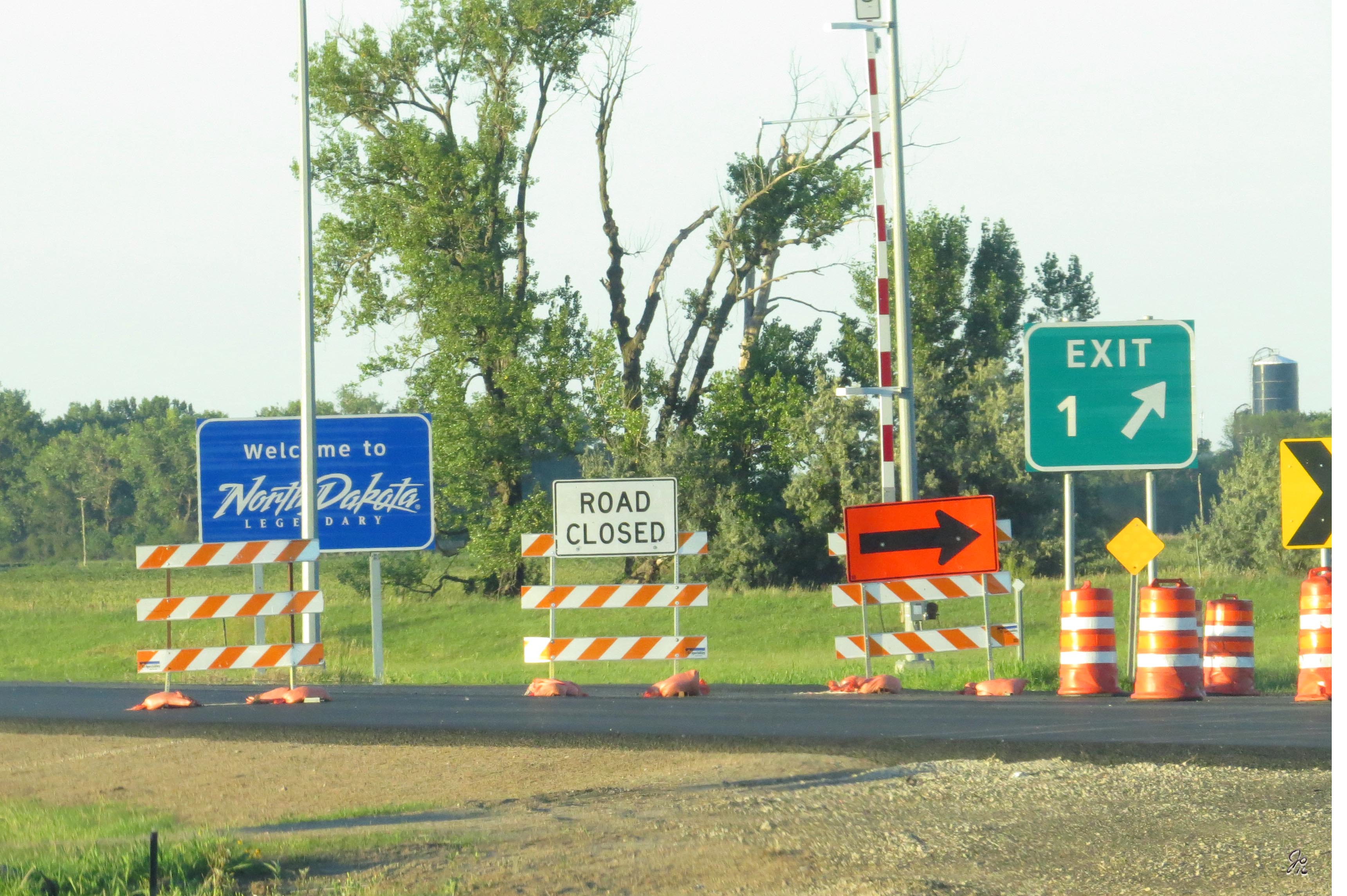
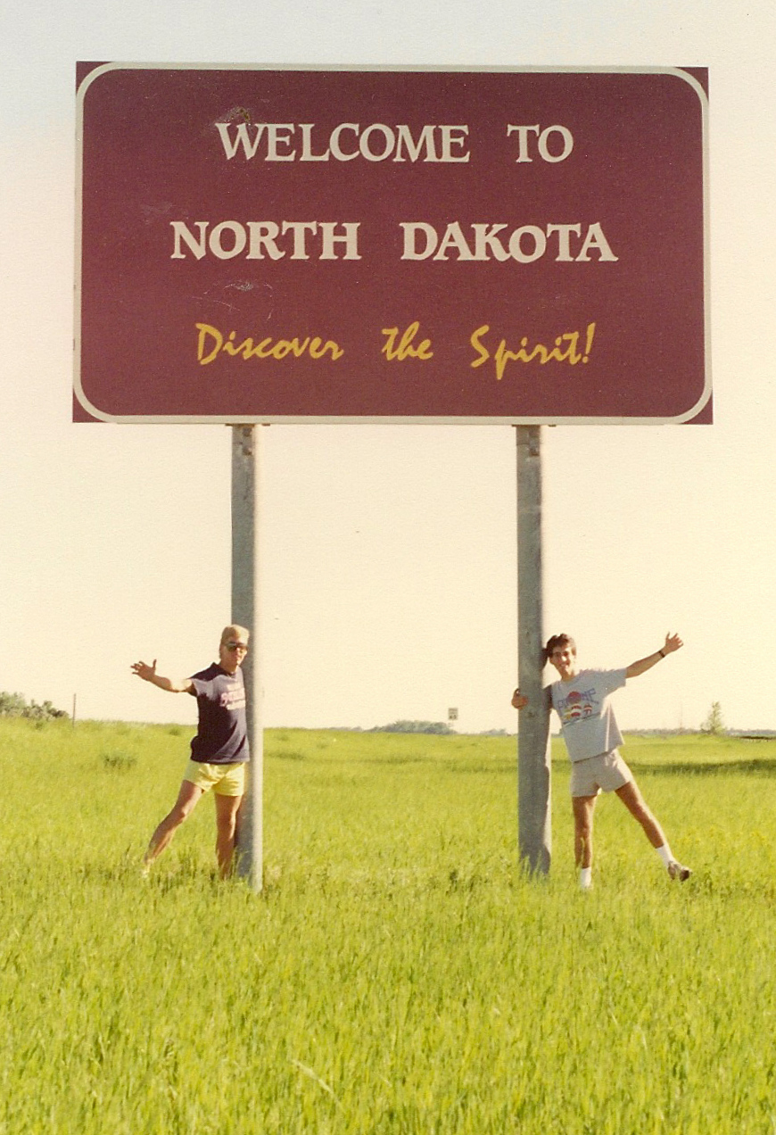
North Dakota State Sign

Belted Kingfisher

Spotted Sandpiper
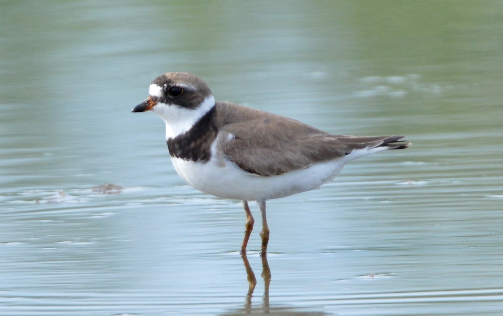
Semipalmated Plover

Barn Swallow
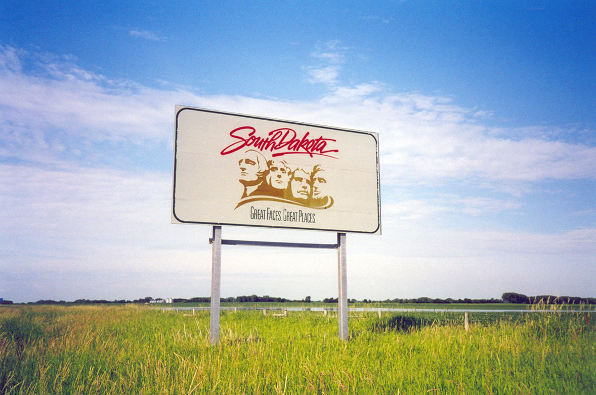
Welcome To South Dakota

Yellow-headed Blackbird

Barred Owl
Border to Border 2013: Uh oh
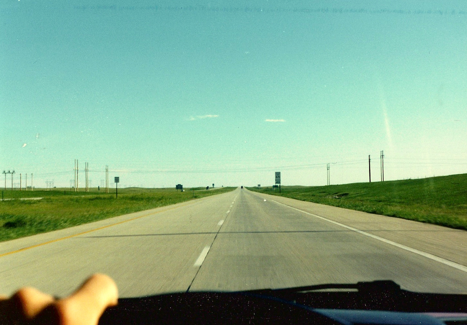
I-29 Northbound, North Dakota
North Dakota
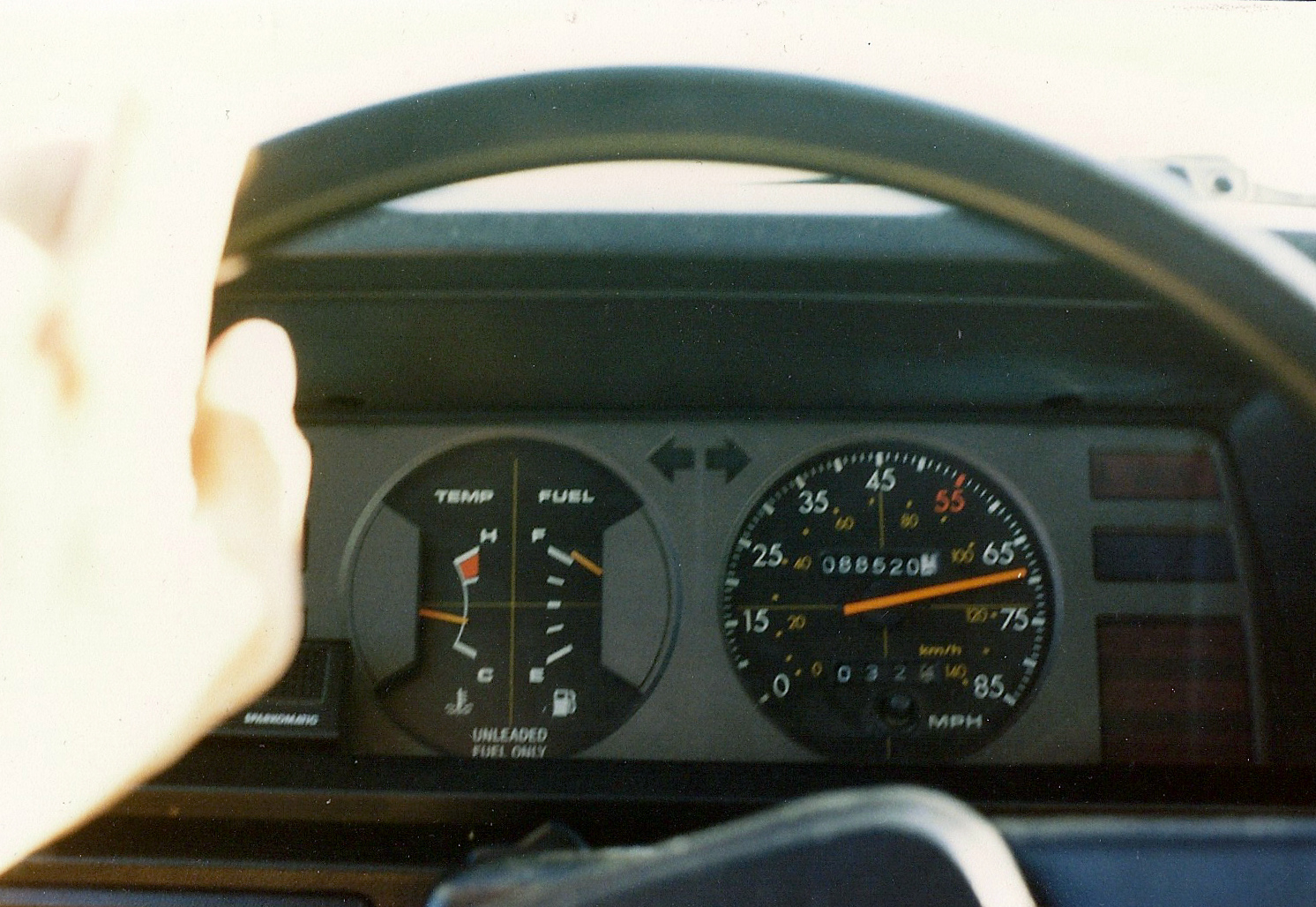
1981 Toyota Tercel Dashboard, I-29 Northbound, North Dakota
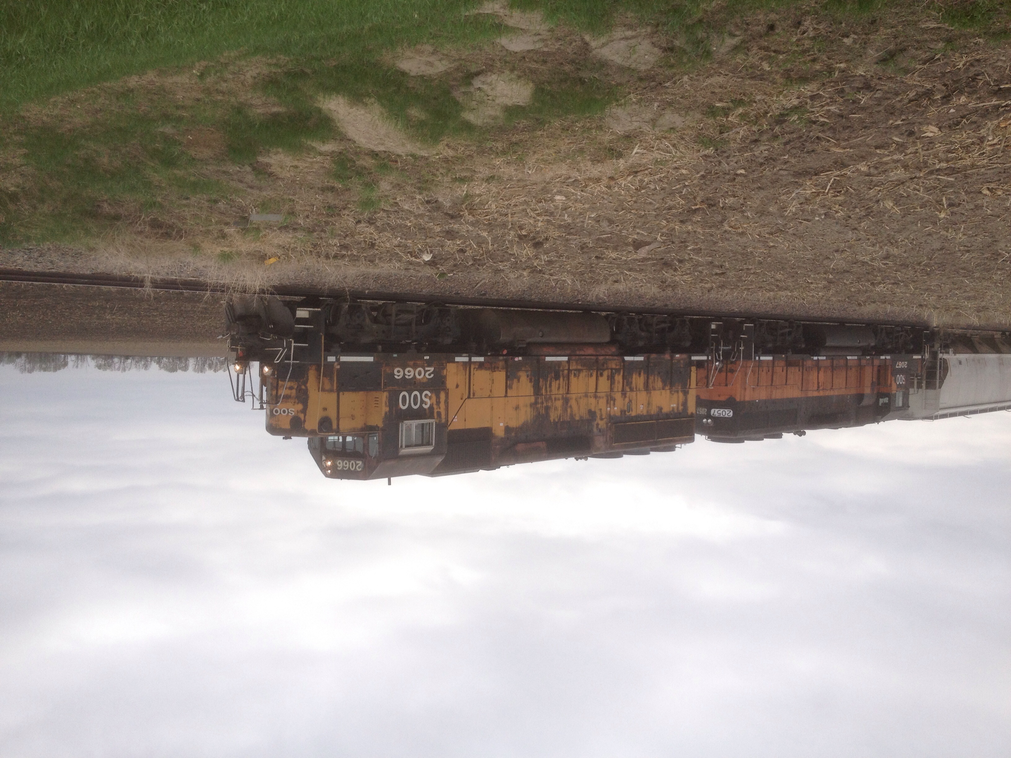
SOO 2066 and 2057 Bandits

Red-necked Grebe
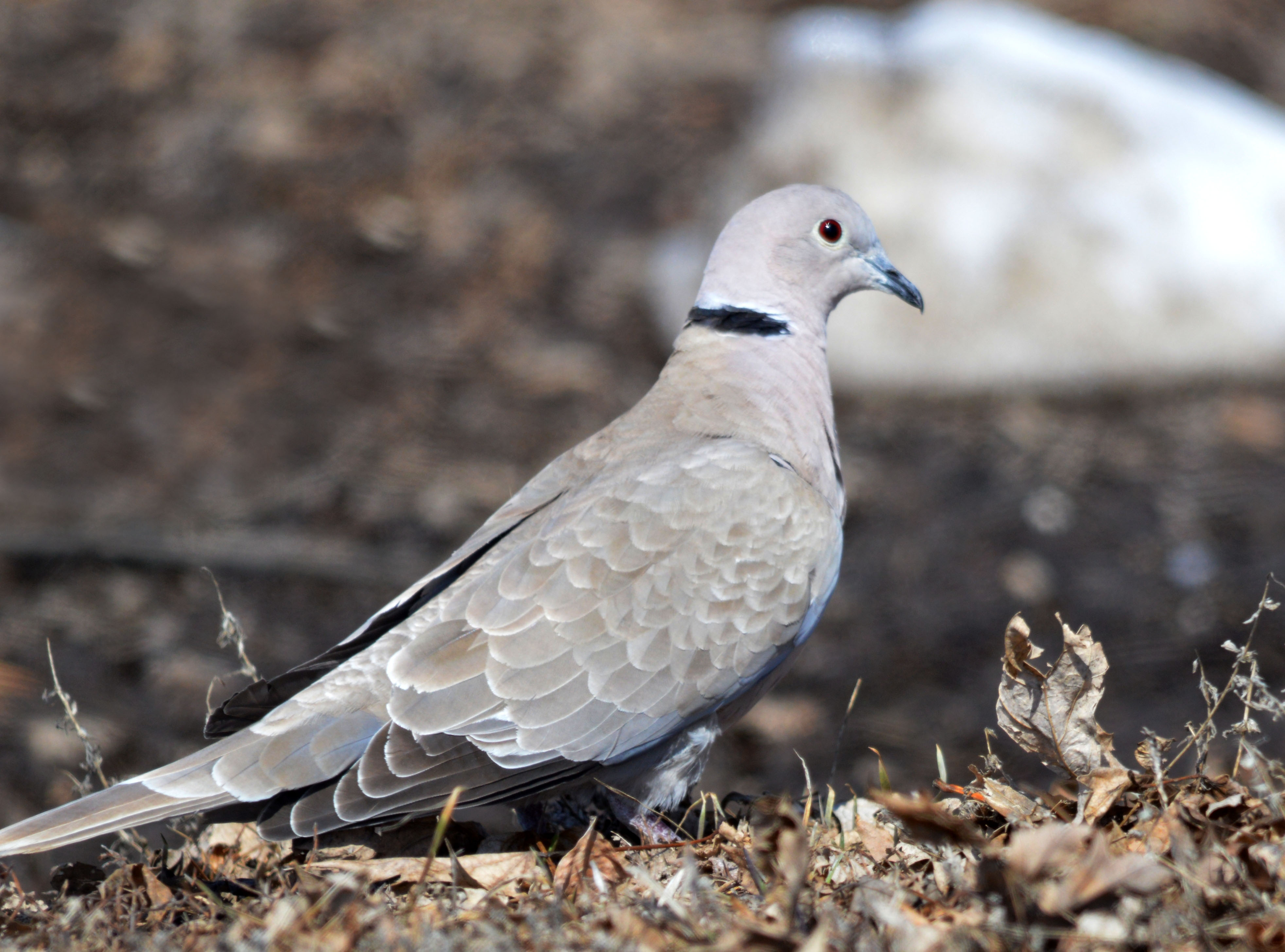
Eurasian Collared-Dove

2nd Year Bald Eagle
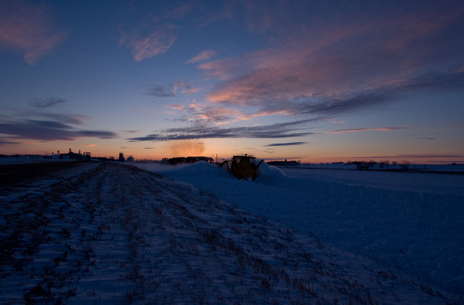
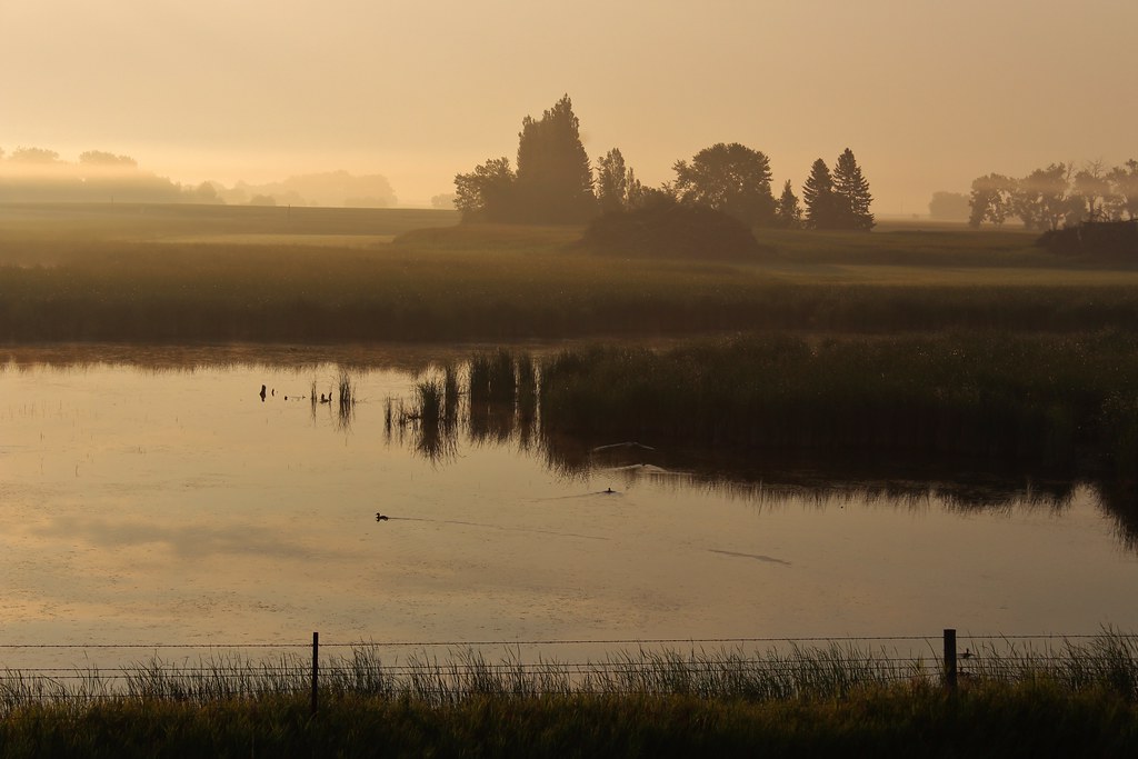
Spreader Sunset; Rosholt, SD
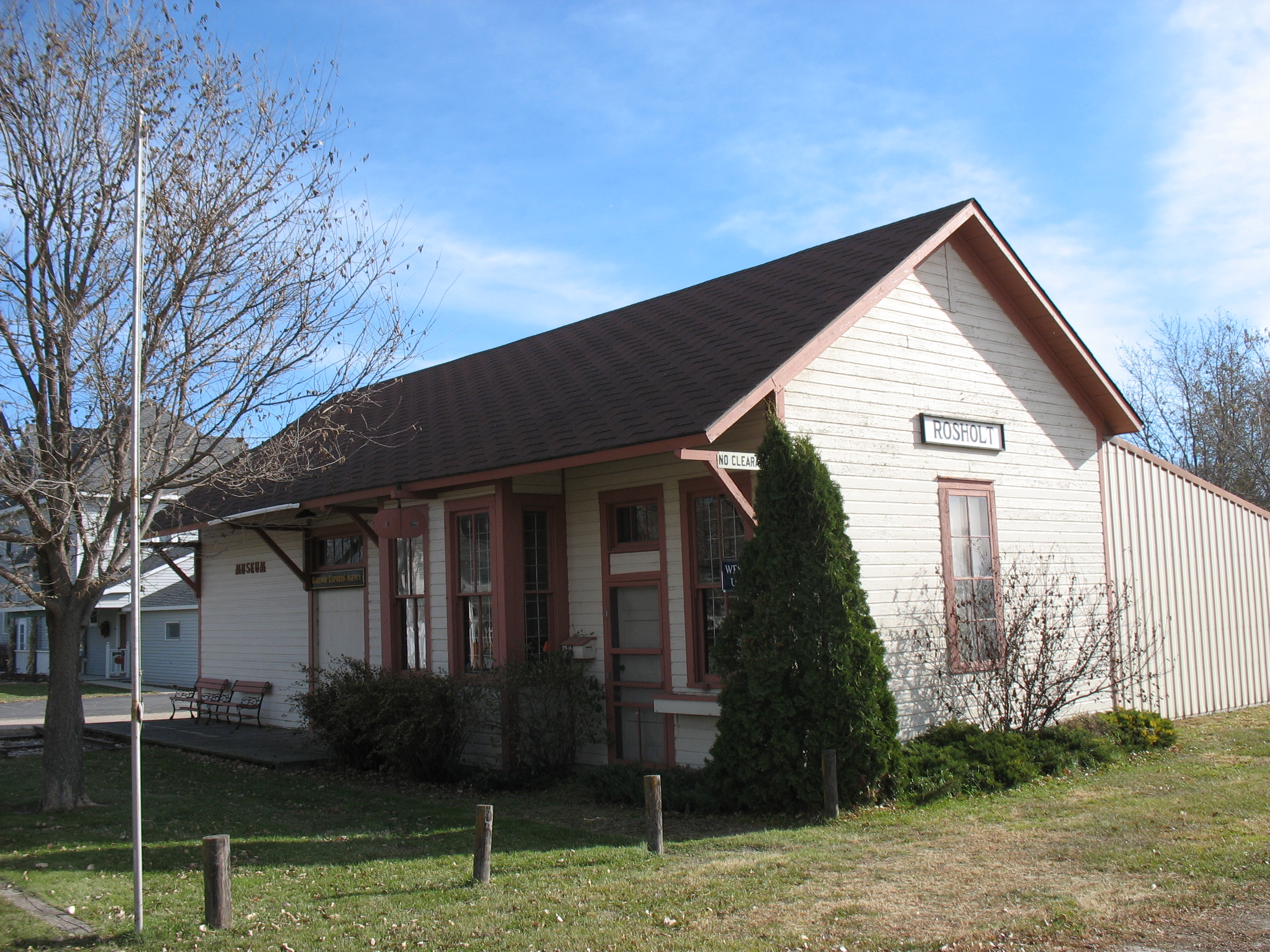
Rosholt, South Dakota, Fairmont and Veblen Railroad Depot, later Soo
Topographic Map of Rosholt, SD, USA
Find elevation by address:

Places near Rosholt, SD, USA:
Lake Traverse
Windsor Township
Lien Township
Devillo
Fairmount, ND, USA
463rd Avenue
1700 3rd Ave S
Wheaton
Broadway, Wheaton, MN, USA
Summit
Browns Valley
Broadway, Browns Valley, MN, USA
17230 Co Rd 16
17993 Co Rd 16
17993 Co Rd 16
17993 Co Rd 16
Brandenburg
Richland County
Traverse County
Peever
Recent Searches:
- Elevation of Elwyn Dr, Roanoke Rapids, NC, USA
- Elevation of Congressional Dr, Stevensville, MD, USA
- Elevation of Bellview Rd, McLean, VA, USA
- Elevation of Stage Island Rd, Chatham, MA, USA
- Elevation of Shibuya Scramble Crossing, 21 Udagawacho, Shibuya City, Tokyo -, Japan
- Elevation of Jadagoniai, Kaunas District Municipality, Lithuania
- Elevation of Pagonija rock, Kranto 7-oji g. 8"N, Kaunas, Lithuania
- Elevation of Co Rd 87, Jamestown, CO, USA
- Elevation of Tenjo, Cundinamarca, Colombia
- Elevation of Côte-des-Neiges, Montreal, QC H4A 3J6, Canada